
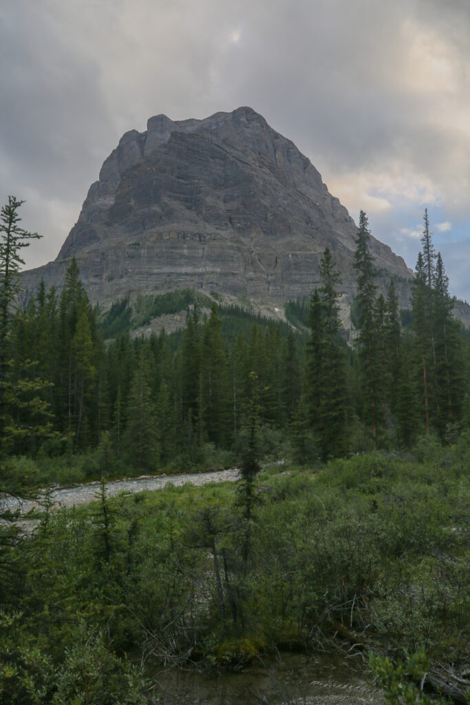
Spending time above treeline.

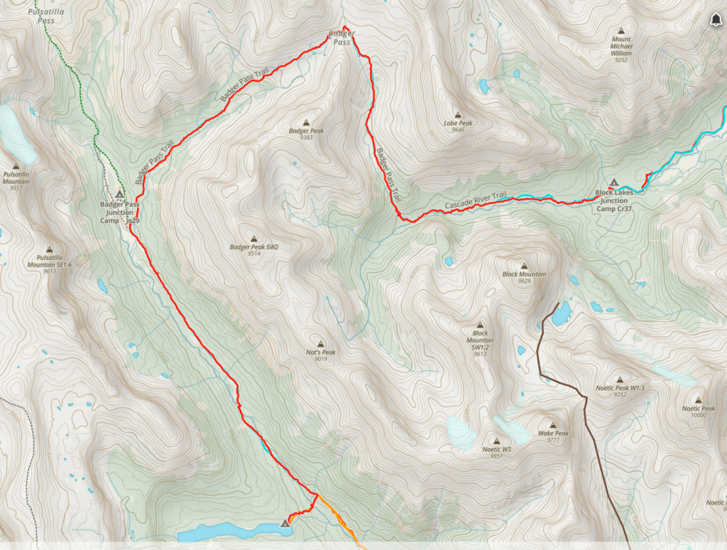
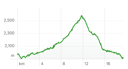
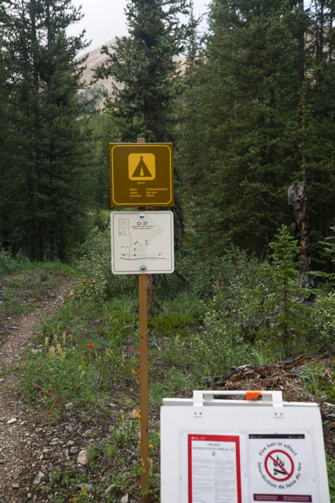
Day 3 Luellen Lake CG to Block Lakes Jnc CG, 19.5 km, 691 m elevation gain, 752 m elevation loss, 7 hrs 5 min.
We were up early-ish. It was a damp cool morning as it had rained on and off all night. There was a lot of condensation in the tent and we discovered a small hole. We had breakfast finished and the tent all packed up by 8:10 am. Not a particularly early start. I was keen to get on trail since it was not currently raining but there was a chance of rain all day and I wanted to get over Badger Pass before the weather changed its mind.
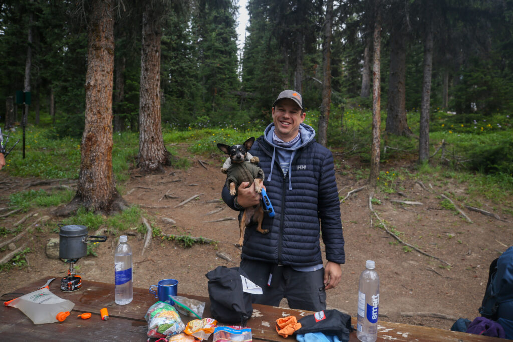
After saying good bye to Reg and his human we hit the trail at 8:20 am.
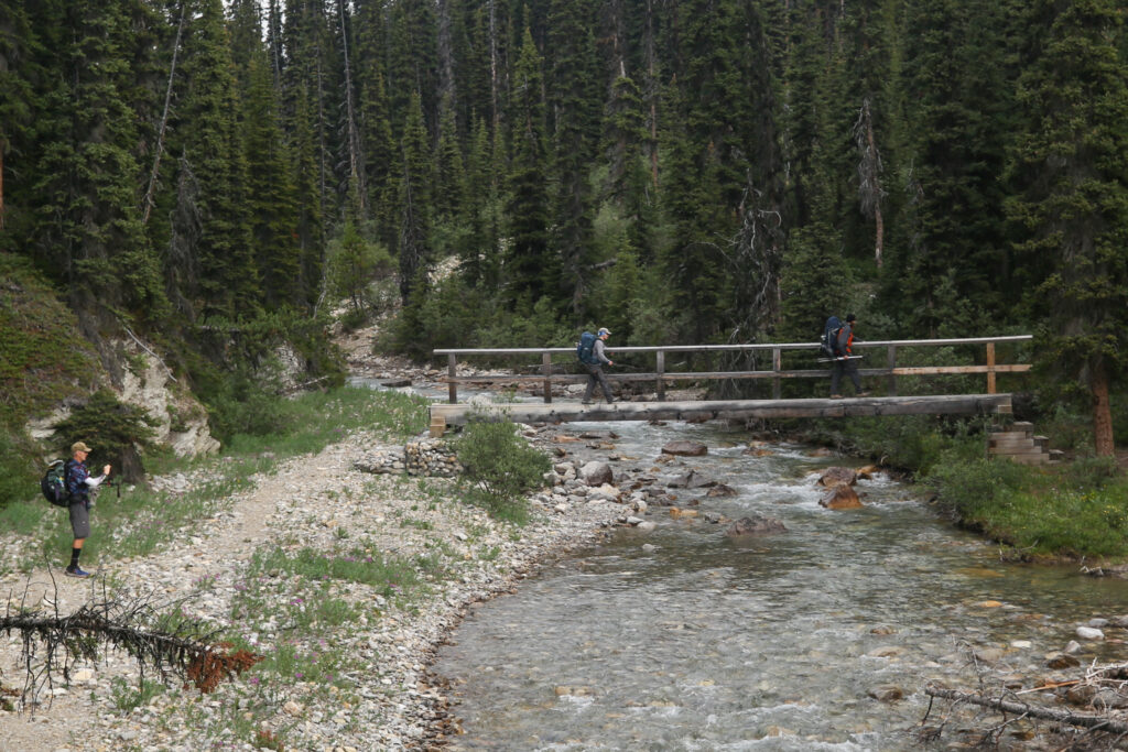
We made good time down the valley and arrived at the junction for Badger pass at 9:50 am covering a little over 6 km in 90 minutes.
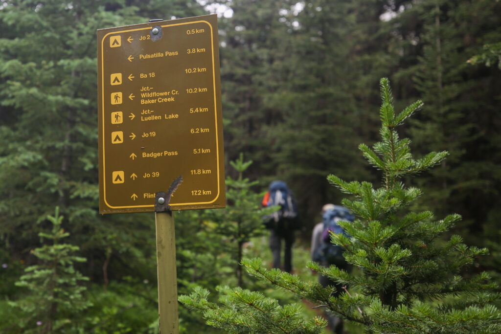
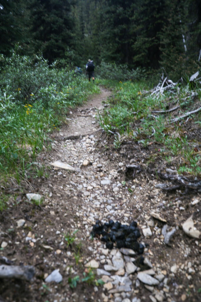
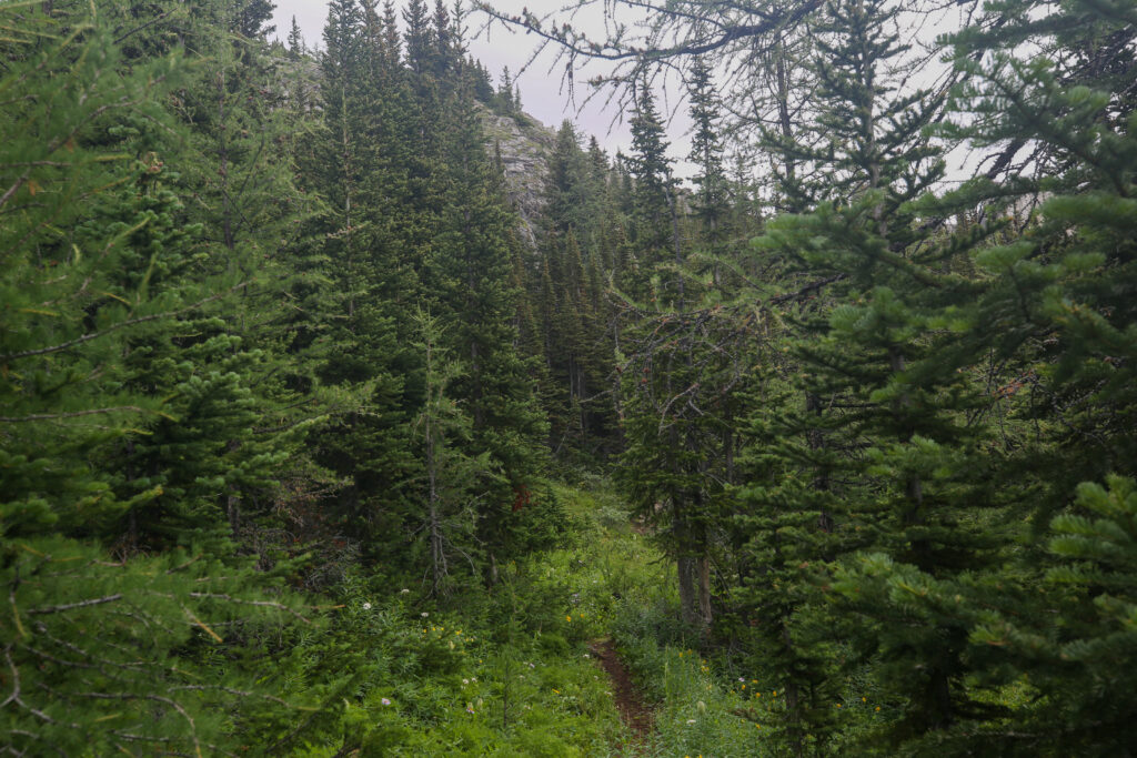
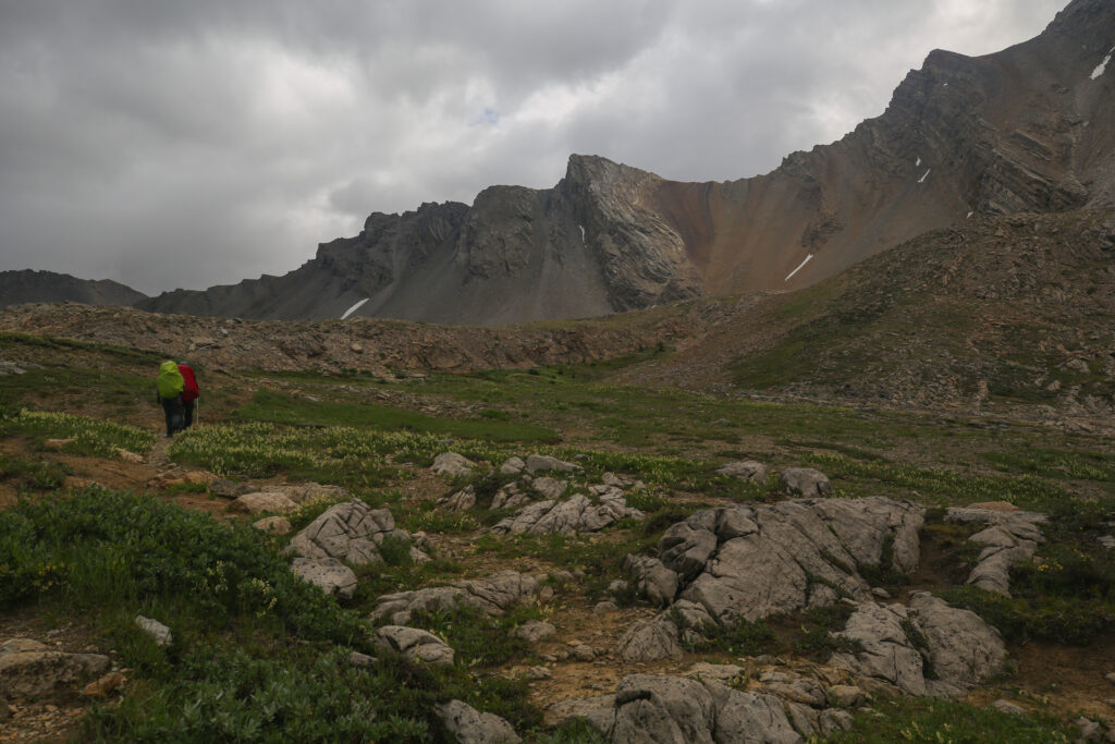
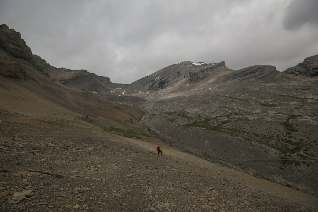
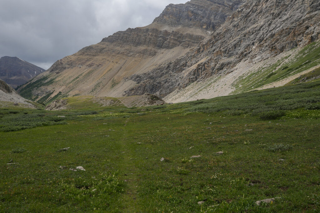
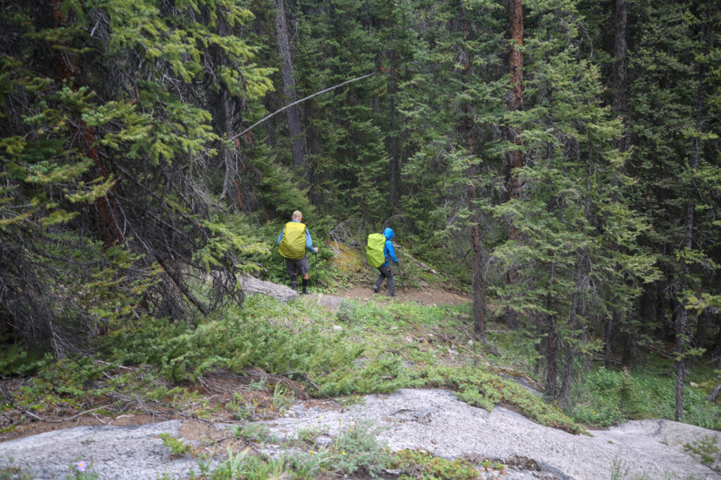
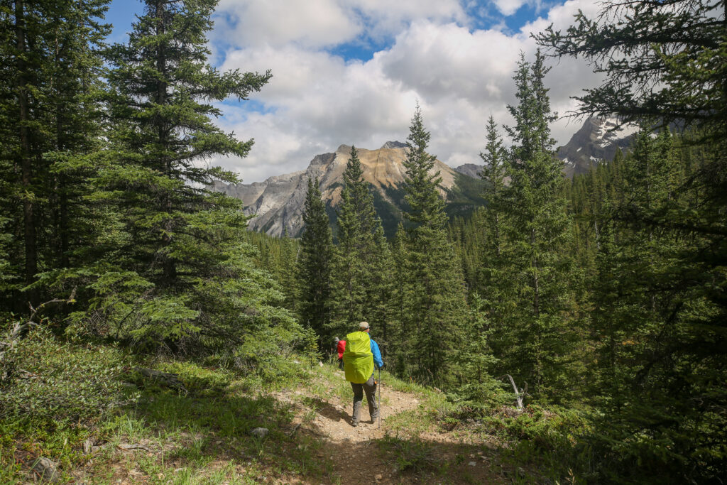
As we left the junction the trail cuts up a short but steep slope. A quick reminder that we were leaving the easy strolling of the valley trail. The hike to Badger Pass is quite well graded rising 500 m in a little over 5 km.
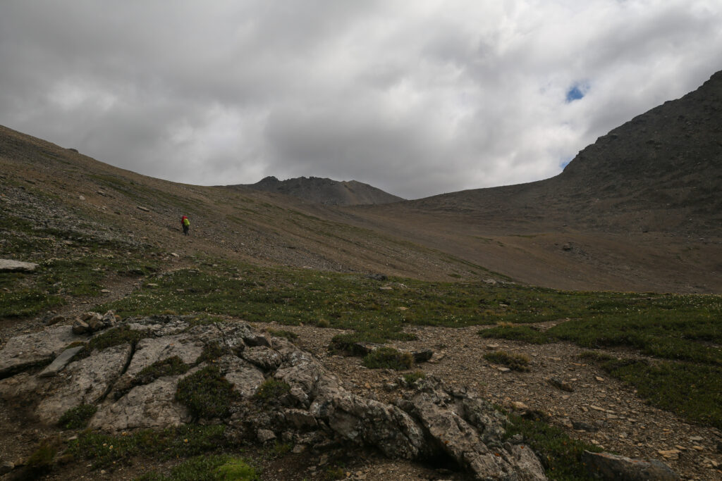
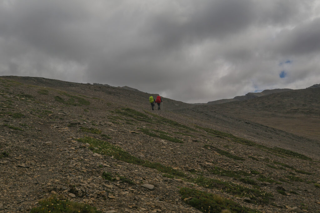
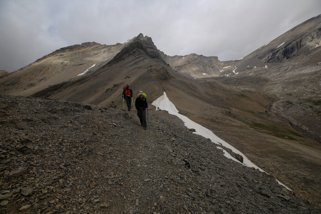
After a quick peak at the first viewpoint we got back on trail and headed up to the pass with Jordan setting a strong pace out front.
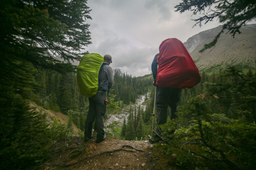
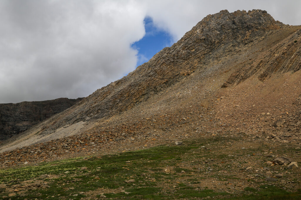
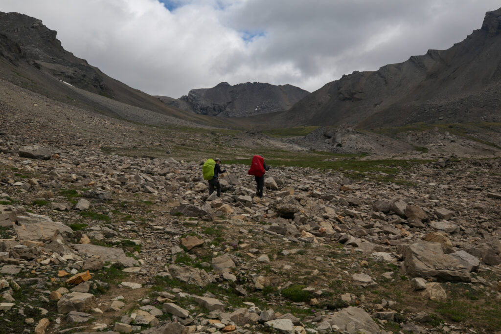
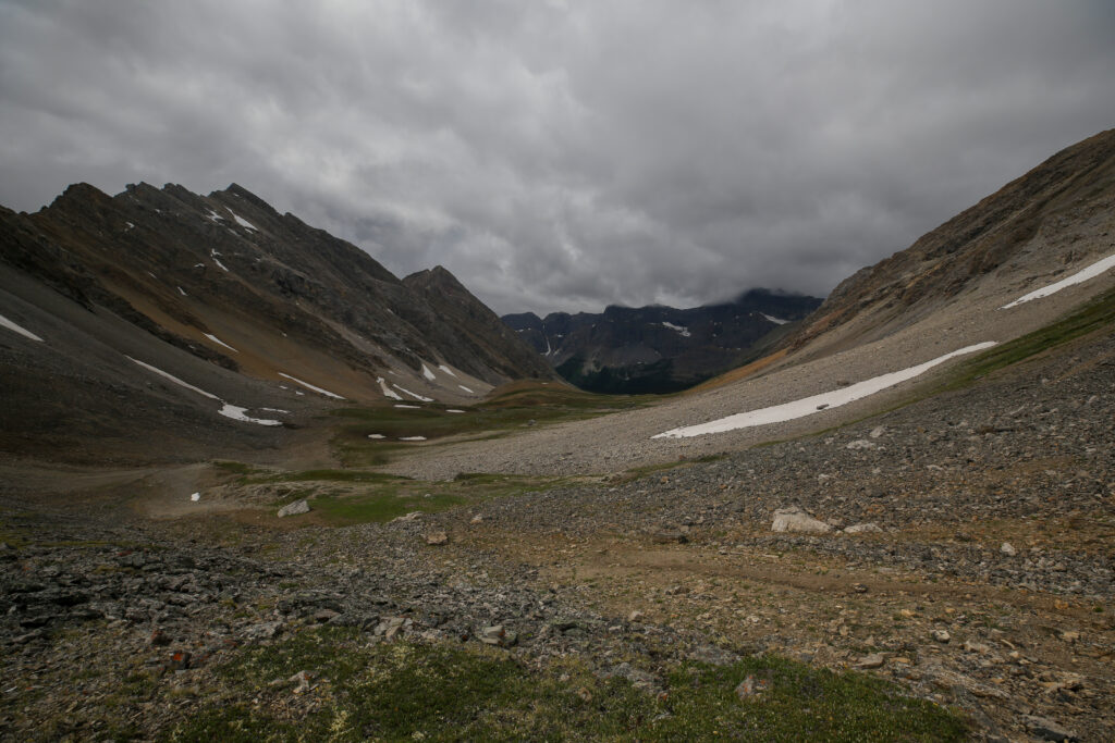
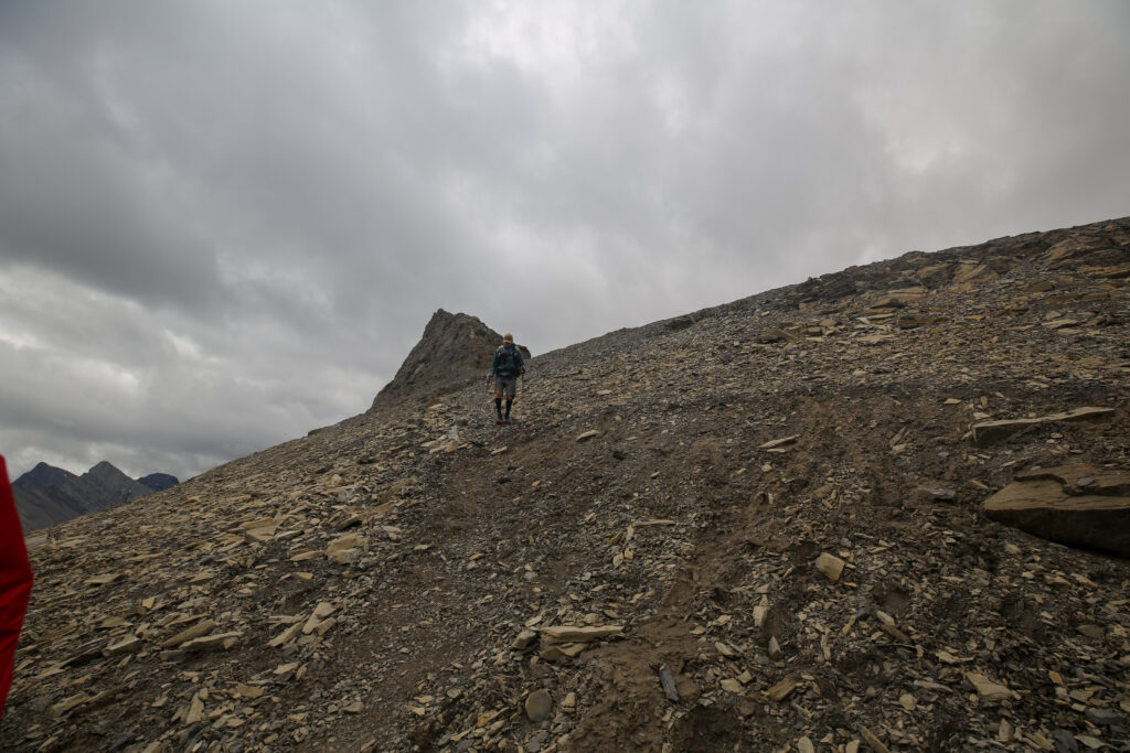
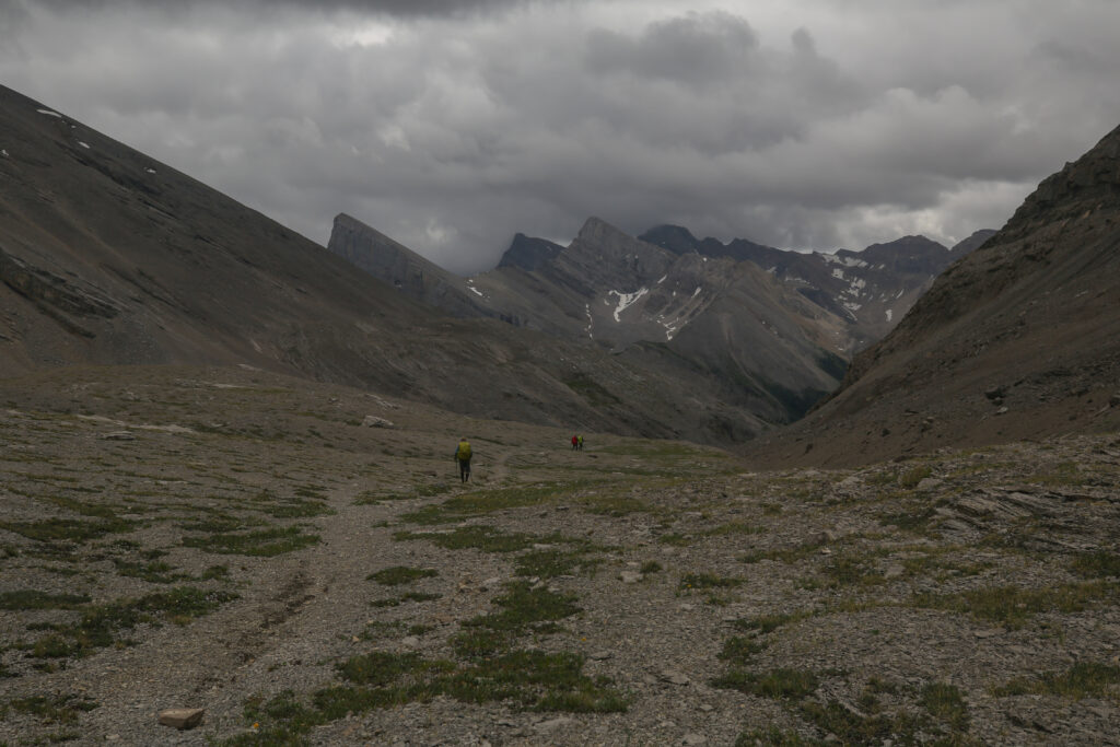
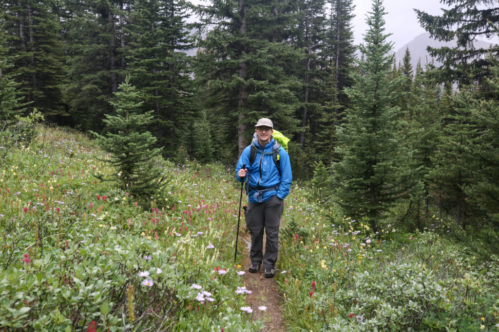
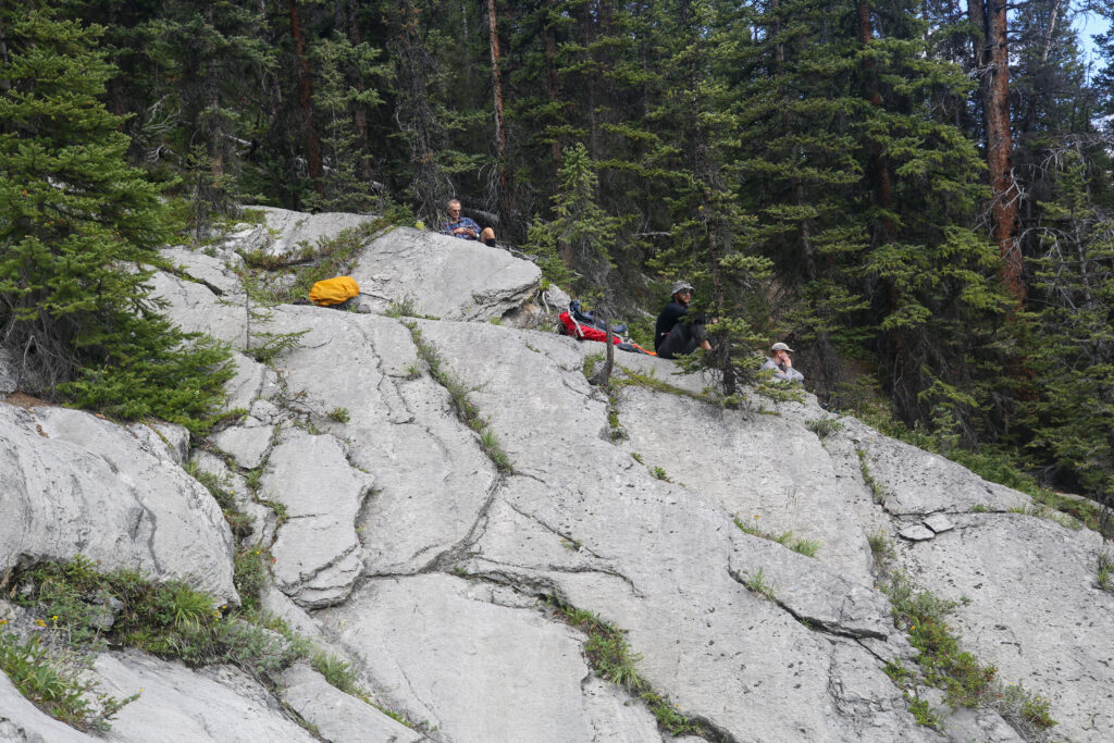
The hike up had been very pleasant. The storm clouds seemed to be stuck in the valley. After hiking on a gently sloping trail for the previous 1 hr 20 min we were presented with a cliff band to cross. The trail was very obvious but the slope did ratchet up for a few minutes required a big increase in effort on my part to keep up. A little while earlier Bent had said that he wanted to stretch his legs. Hiking like some day hiker he quickly disappeared up the trail. Jordan continue to lead Micah ahead of me. They were never very far away but it was all I could do to keep up while making a little time for some photos.
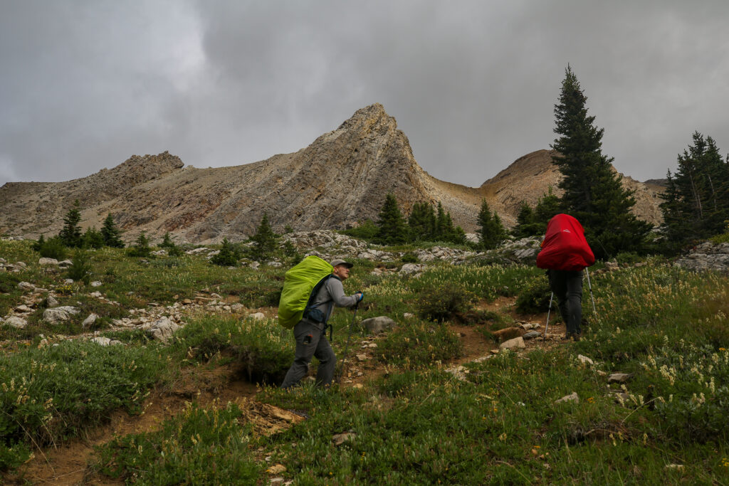
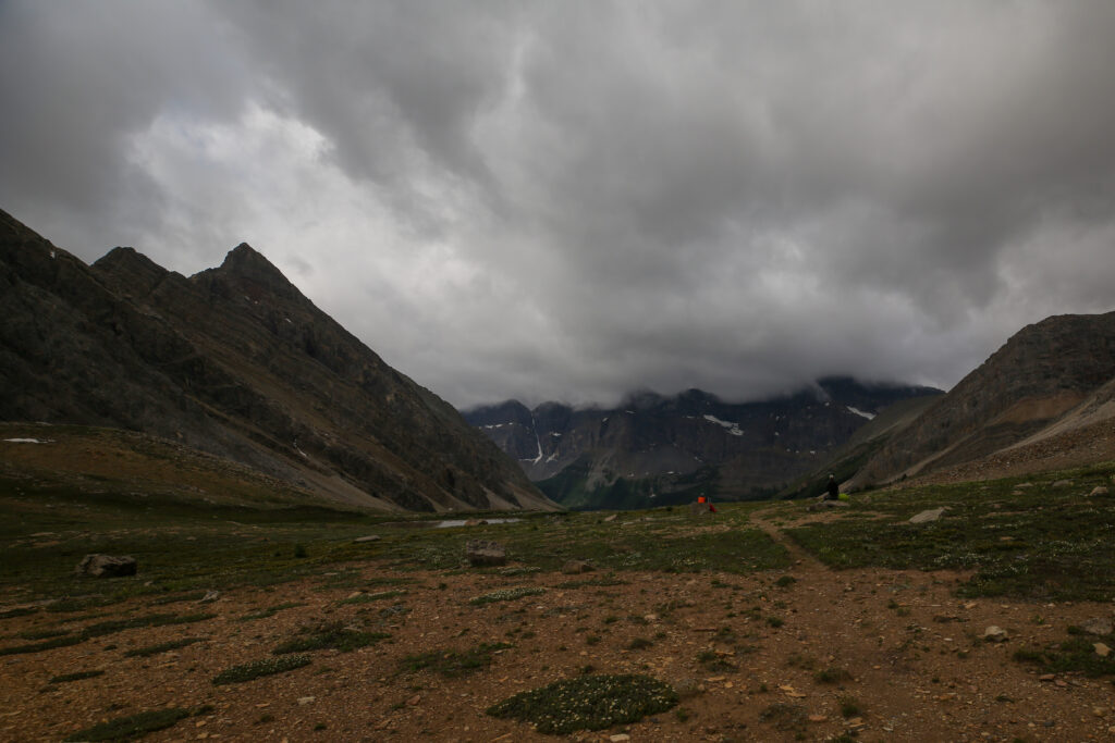
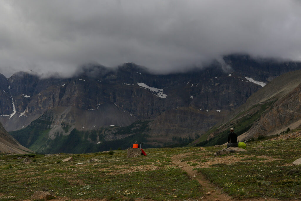
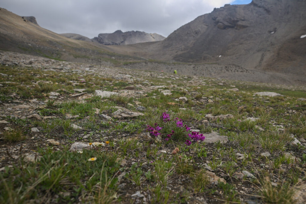
After getting over the little cliff band we decided it was time for a break. We spread out across a vast alpine meadow and all faced back down the valley looking at where we had come from in a group silent reflection.
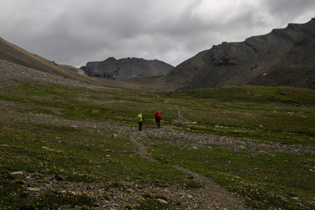
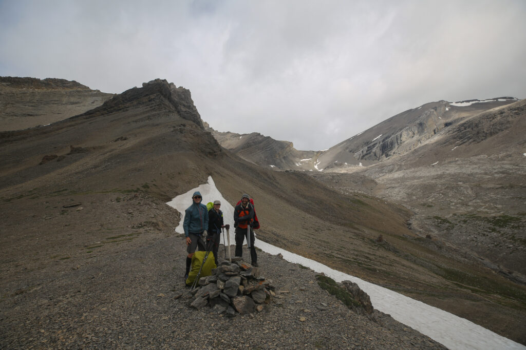
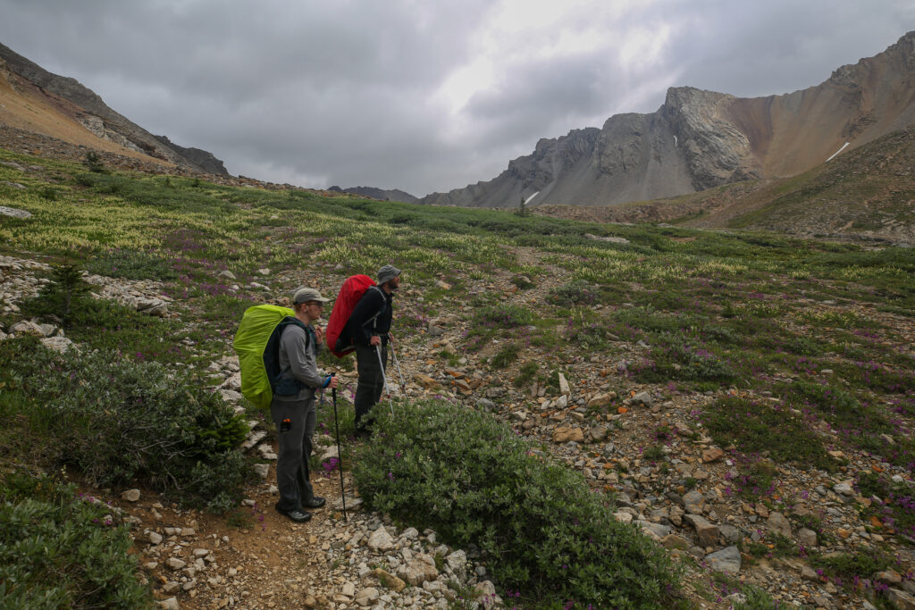
It took us 1 hr 50 min (less time for Bent) to hike from the junction to Badger Pass CG up to Badger Pass, covering 5.2 km and 500 m of elevation. I have been to Badger Pass twice and have never seen a badger at the pass. While I could not confirm it the story behind the naming of Badger Pass is that someone mistakenly identified a marmot calling it a badger. The environment at Badger is not favourable for badgers and the odds of seeing a badger at or near the pass is remote.
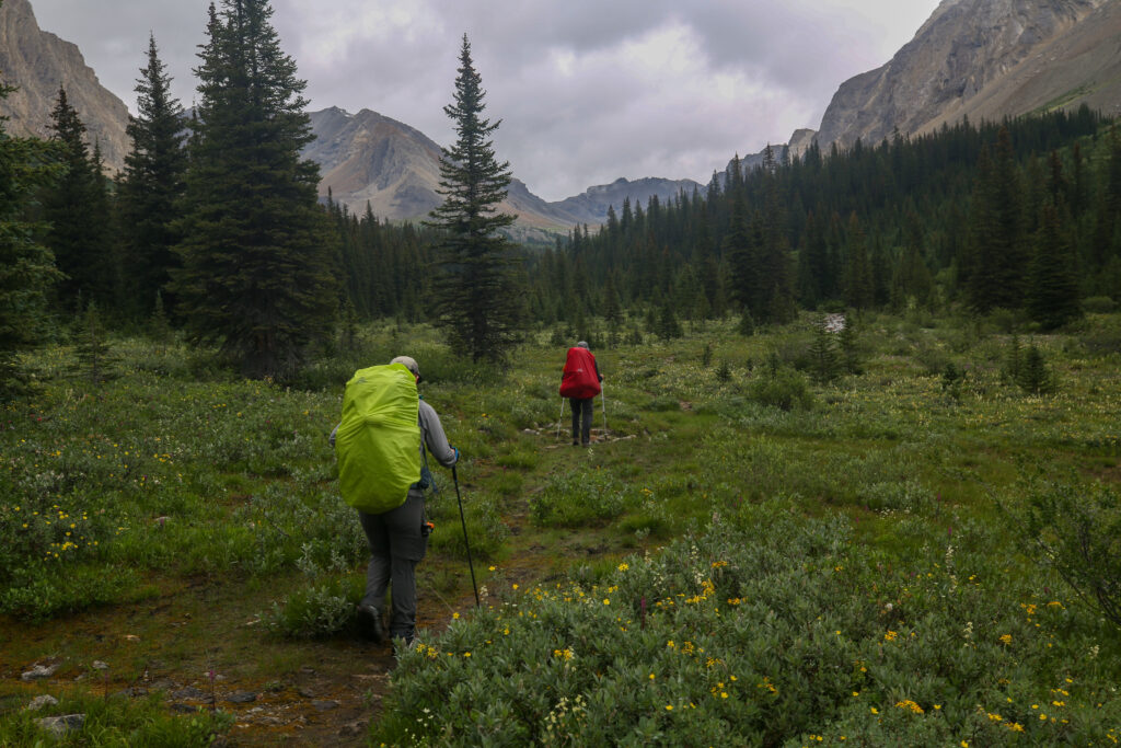
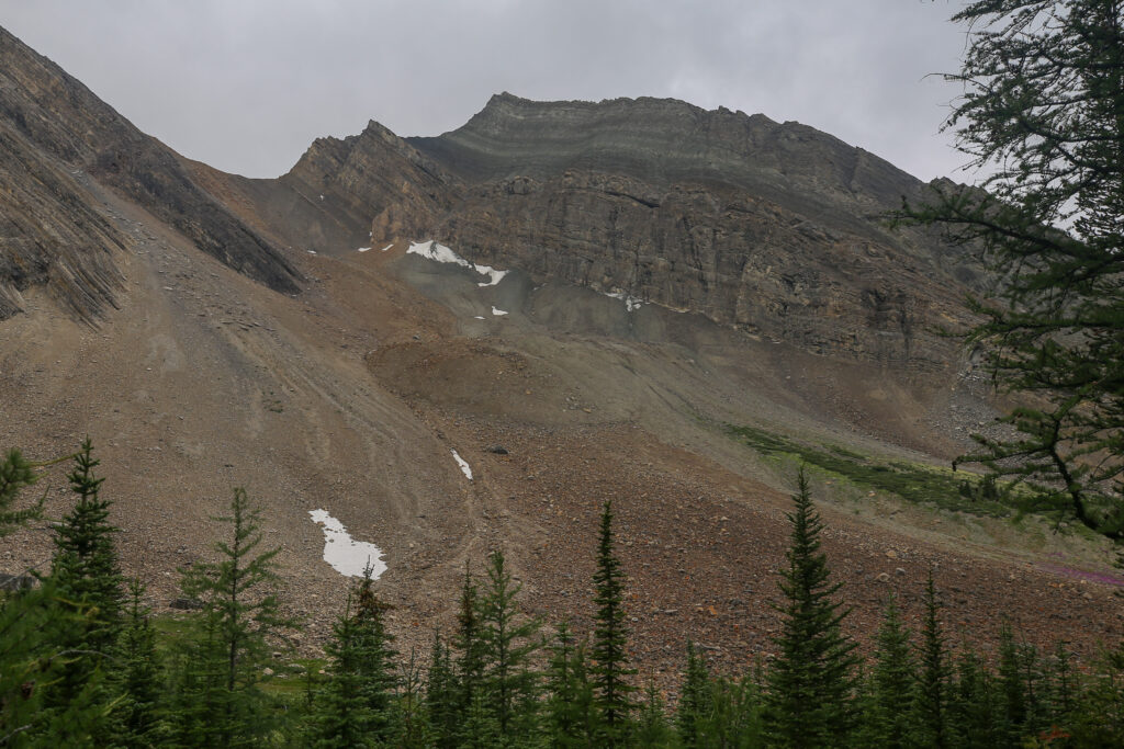
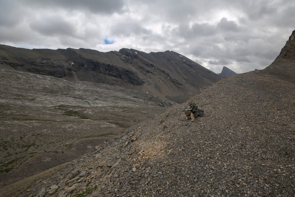
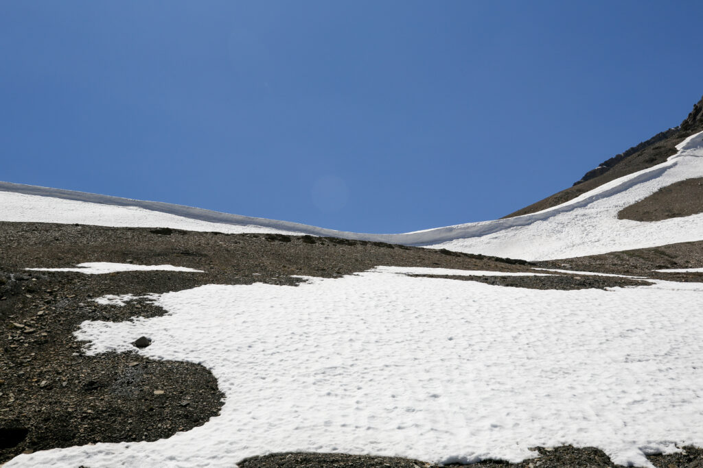
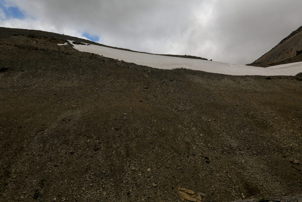
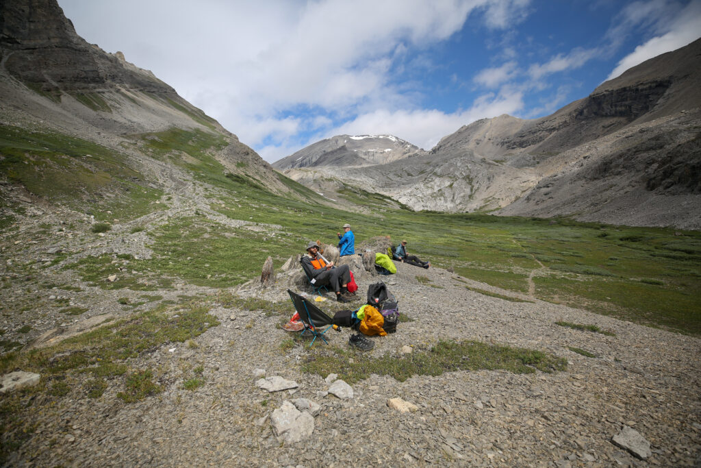
When I was last at Badger Pass the weather was gorgeous with clear blue skies. We hung around at the pass and ate our lunch. With soaring peaks and glaciers this is really a place worth lingering. Unfortunately on this trip the weather was a little gloomy and the thought of hanging around was not very appealing. After finishing the photos and grabbing a bite of my Builder Bar we proceeded to look for the way down as I had told everyone the challenge we had on the previous hike with the cornice that causes early season hikers grief every year.
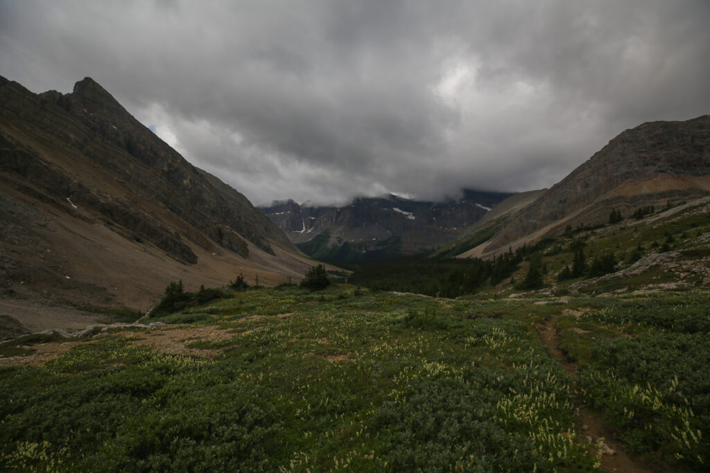
The amount of snow that disappeared over the course of three weeks was a welcome sight. This time a quick scan of the pass identified a small cairn off to our right with a packed trail running past it. A quick investigation showed us an easy way down over the pass. We encountered no snow at the pass and down on the slope where previously the ground had been saturated with melt-water providing a muddy walk down today we found a lovely hard packed trail.
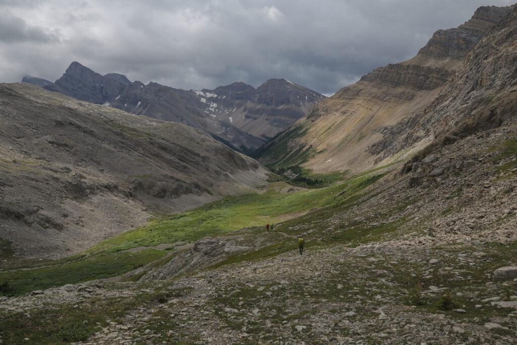
I am not fond of being at altitude in bad weather so despite the threatening skies I was quite at ease as we descended down into the valley. The clouds had been thick all day but we had no rain and there had been no ominous booms of thunder. Everyone was happy to leave Badger Pass. It was getting onto lunch time but the valley beckoned so we pushed on. It was a good decision.
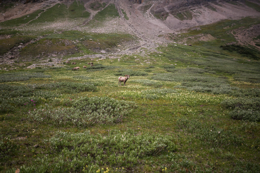
As we past the herd of big horn sheep the male began to track us. We left the trail and gave as wide a berth around the herd as we could.
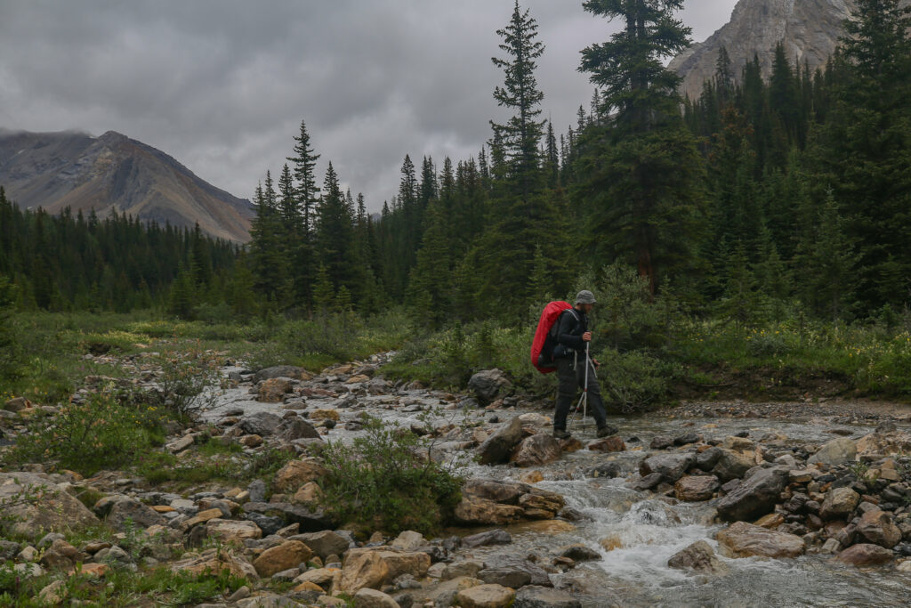
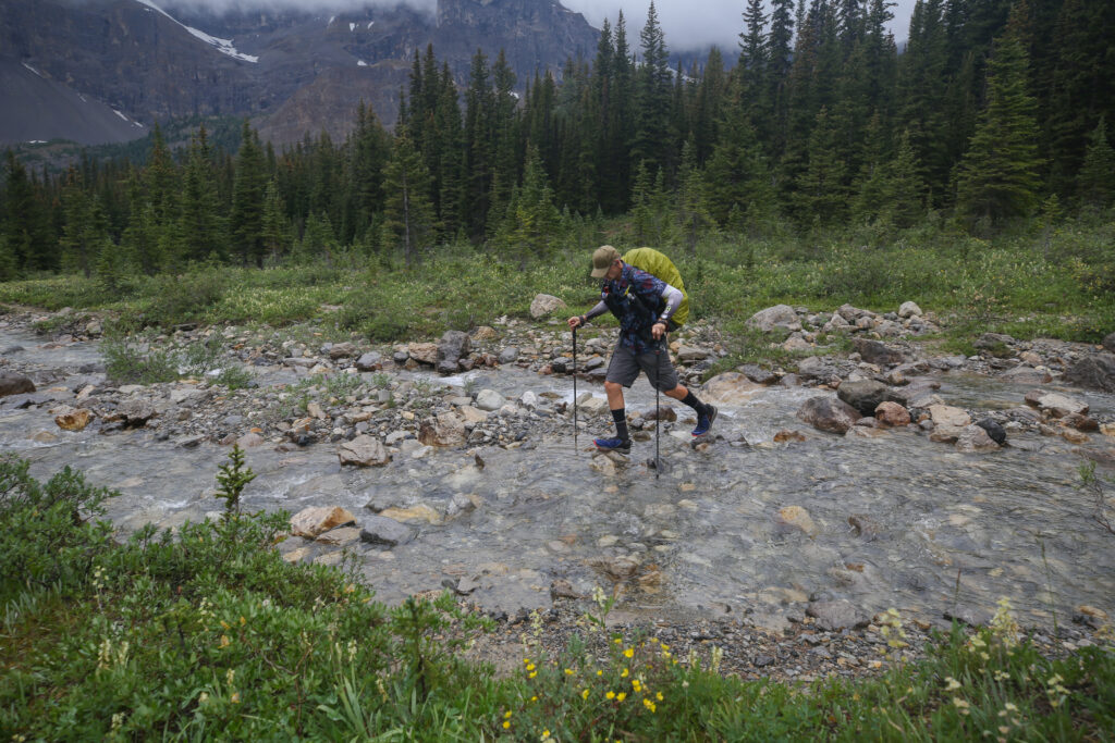
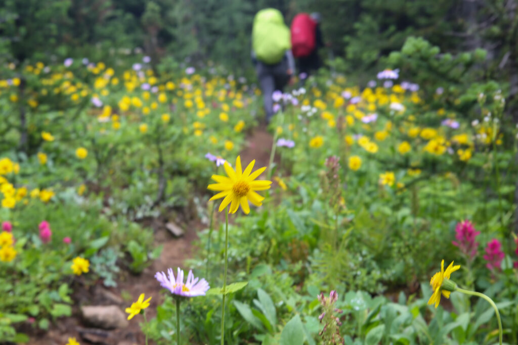
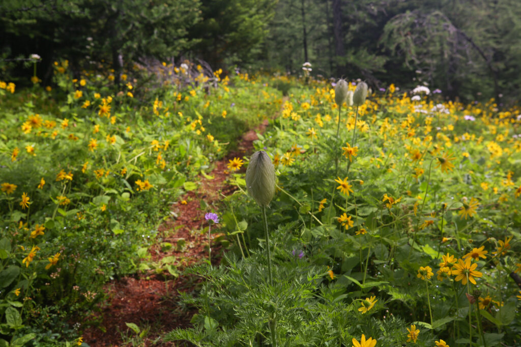
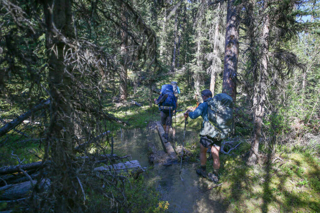
Lunch was very pleasant with the sky brightening up. We had covered the hardest part of the day. What remained was a short 5 km but I knew it was on somewhat iffy trail. When I came through last time there had been a couple of kilometres of trail was flooded. The water was much lower on this trip so I was confident we would be able to keep our feet dry. Something that was not possible on the last trip.
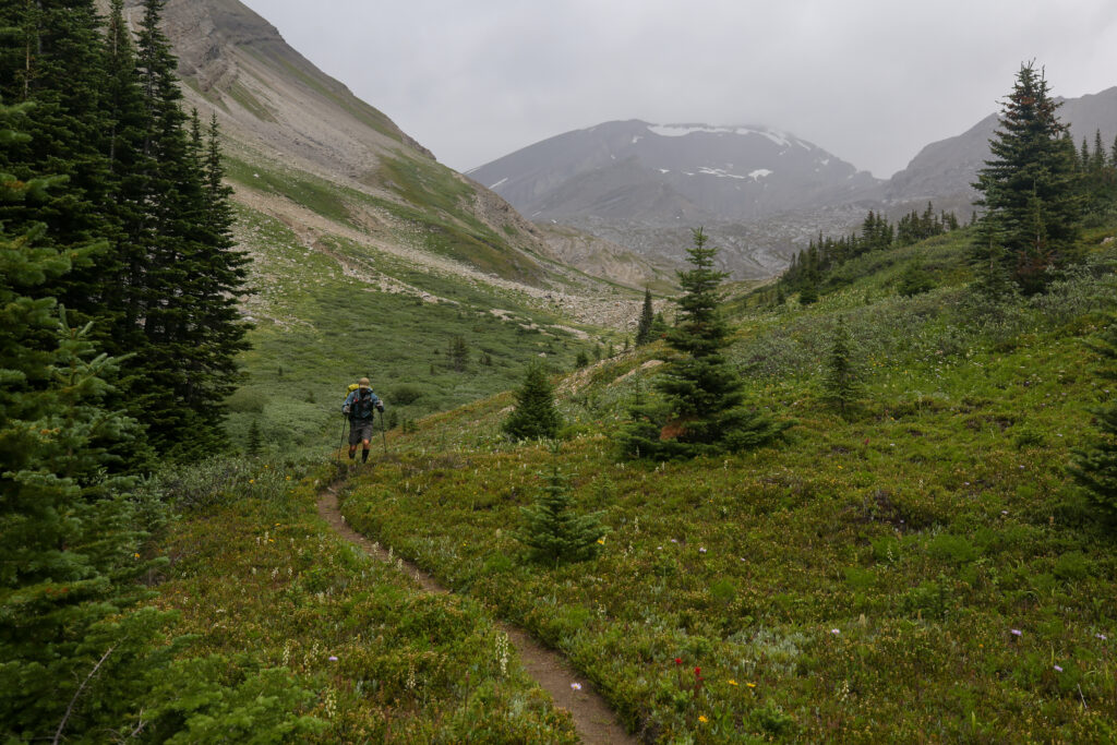
As we returned to the trail the sky misted over and presented us with a short light shower. It did rain long enough to encourage us put our rain gear on.
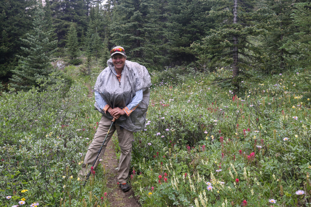
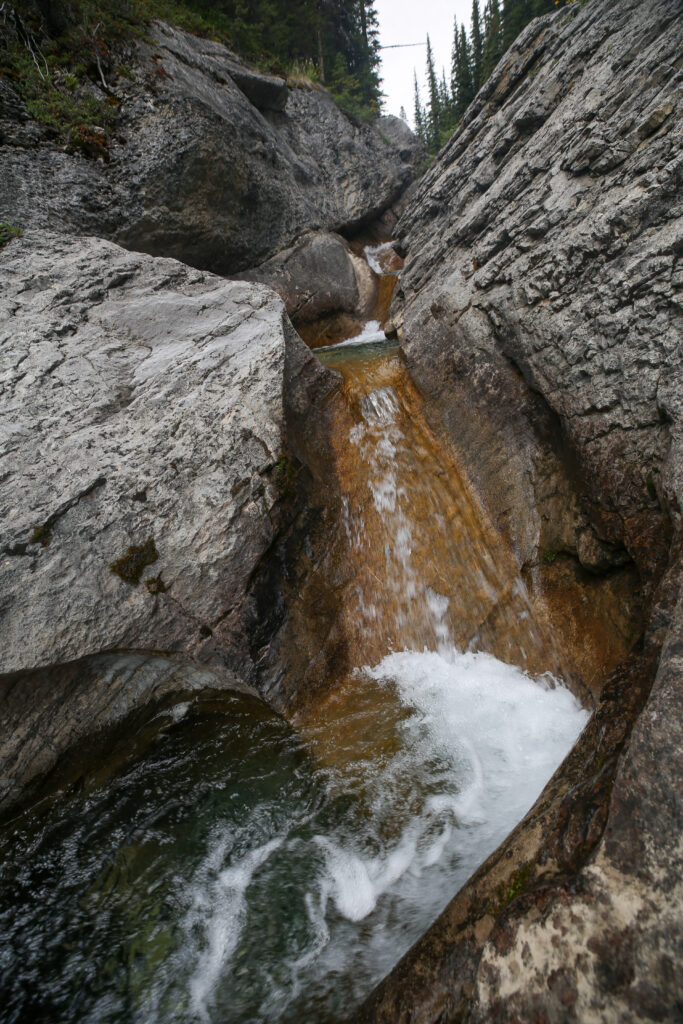
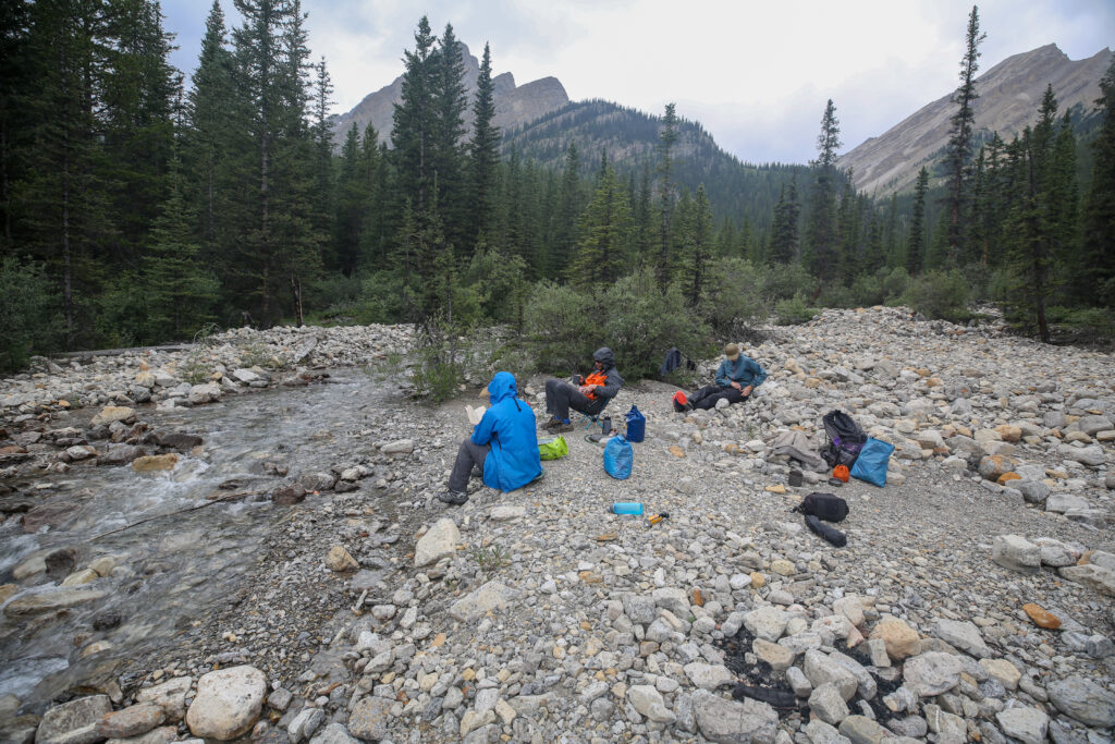
Shortly after we put our rain gear the trail really starts to head downhill in a hurry. Close by to the trail the creek we have been following follows the same slope and has cut an interesting little sloping canyon through some exposed cliffs. We detoured over to check out the rocks and the stream. The rain clouds left leaving us with mostly sunny skies so we all sat on the rocks and took another half hour break just taking in view to the peaceful sound of tumbling water. It was very relaxing.
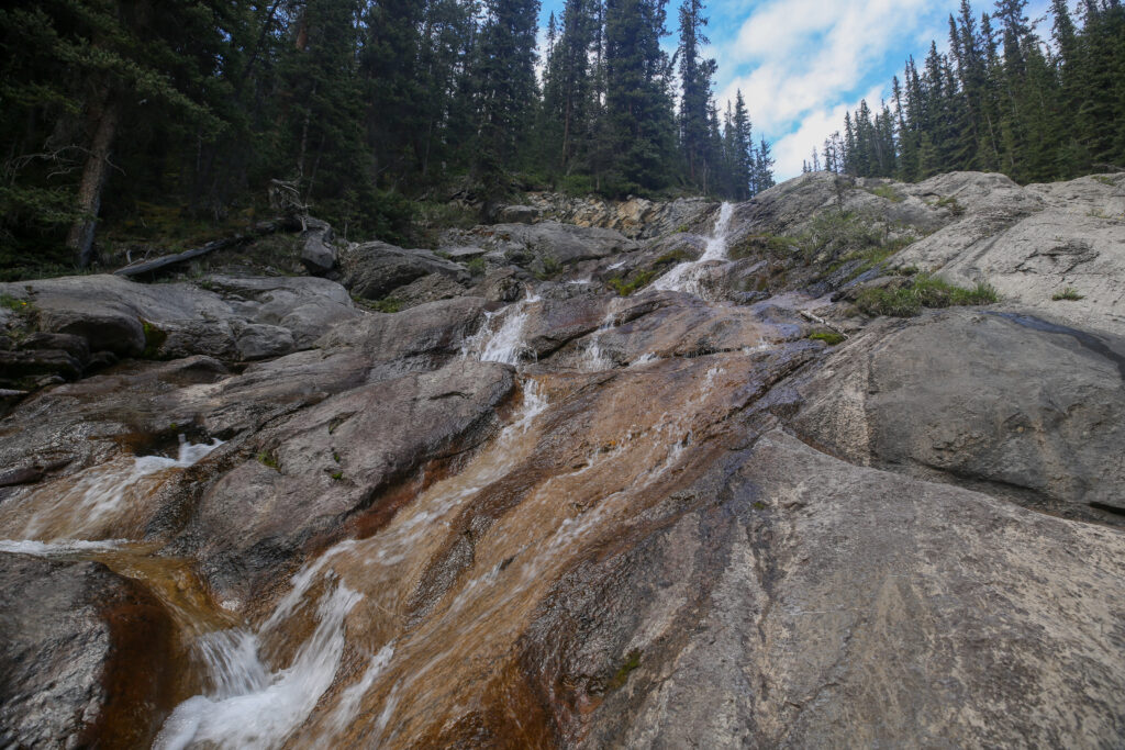
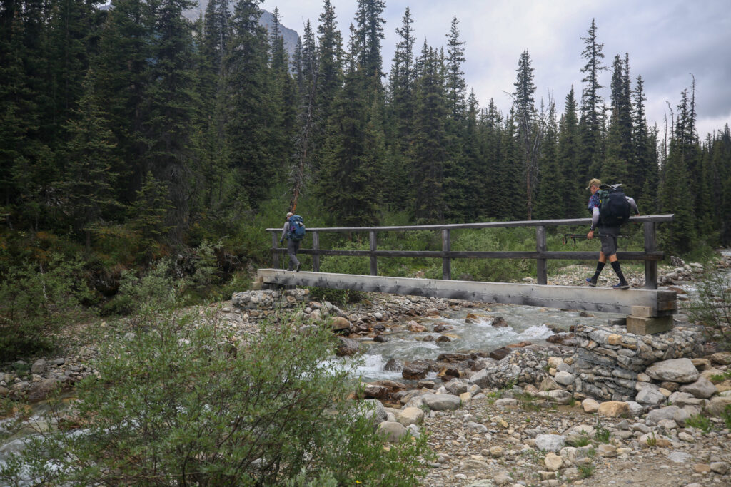
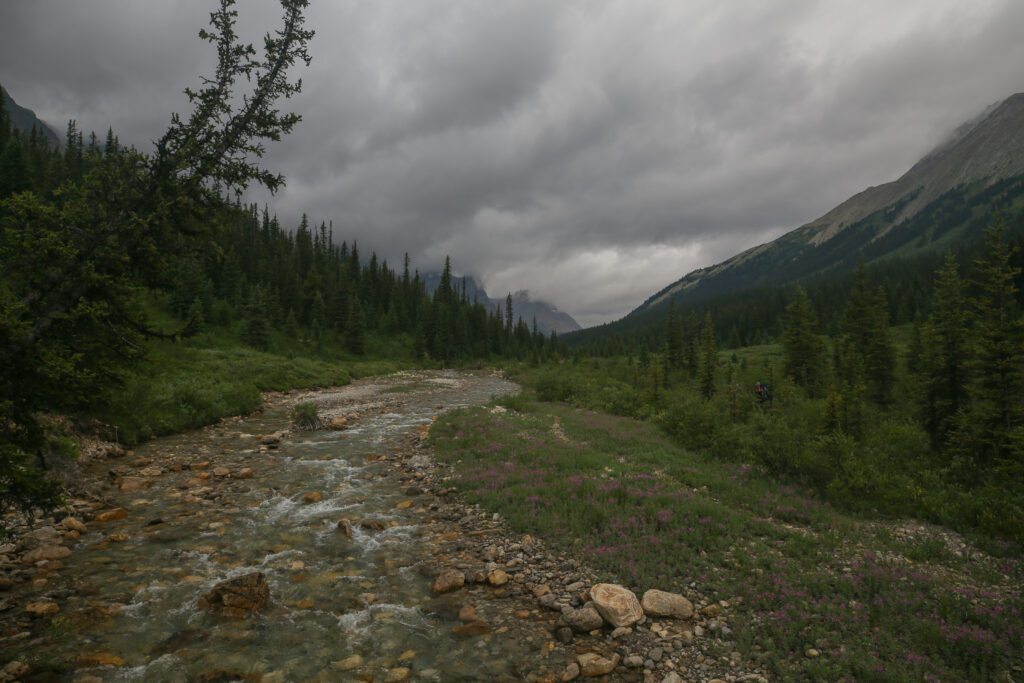
We spent 35 minutes lounging on the rocks. At 2:25 pm we headed back out on trail. Very quickly we reached the bottom of the descent and the trail took a sharp turn eastward and following the nirthern bank of the Cascade River as it gently flowed towards our destination at Block Lakes Junction. We had a little over 4 km to go which really should not have taken too long.
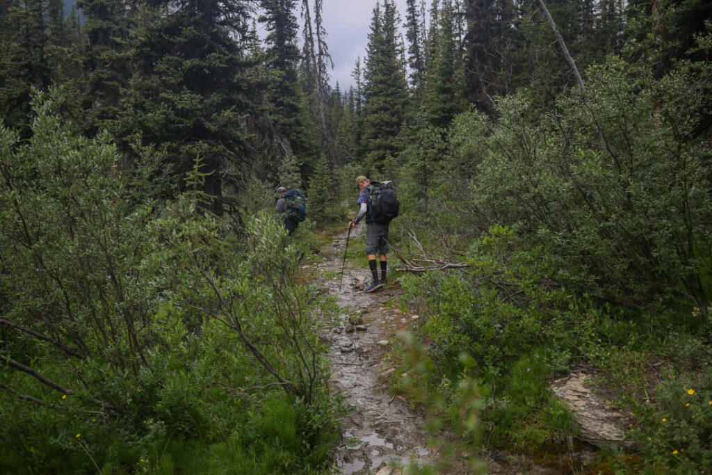
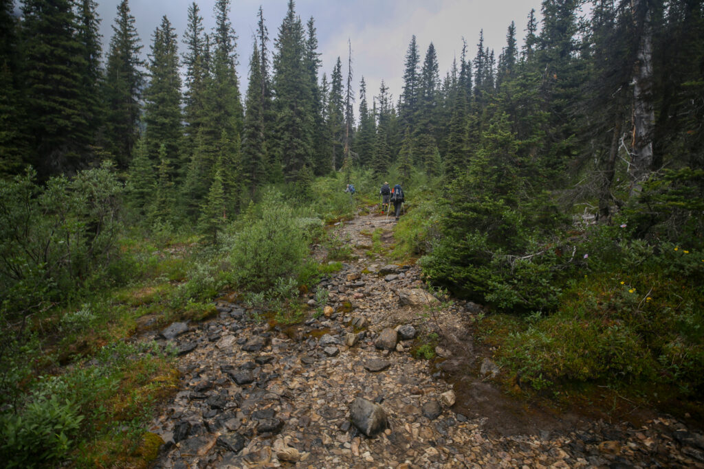
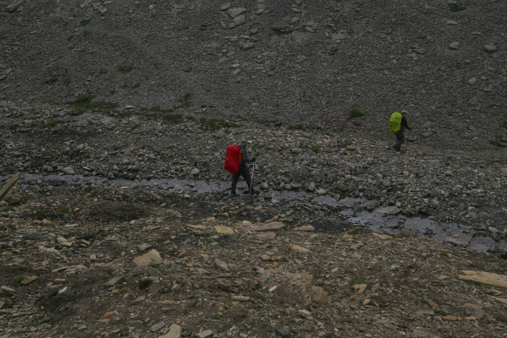
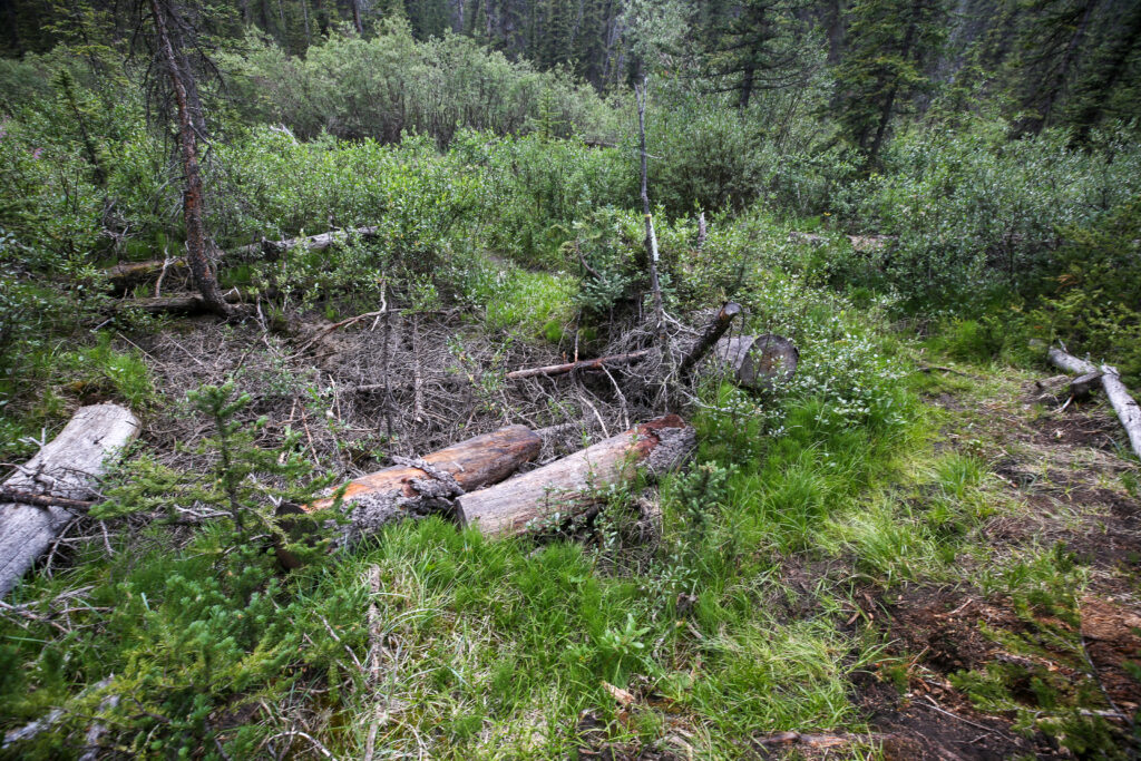
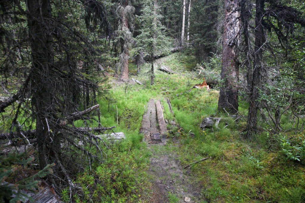
Once we started heading eastward the quality of the trail plummeted. The land was very close to river level and suffered from repeated flooding of the Cascade River.
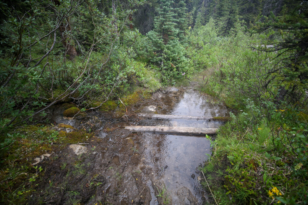
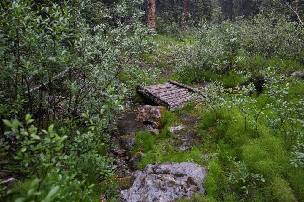
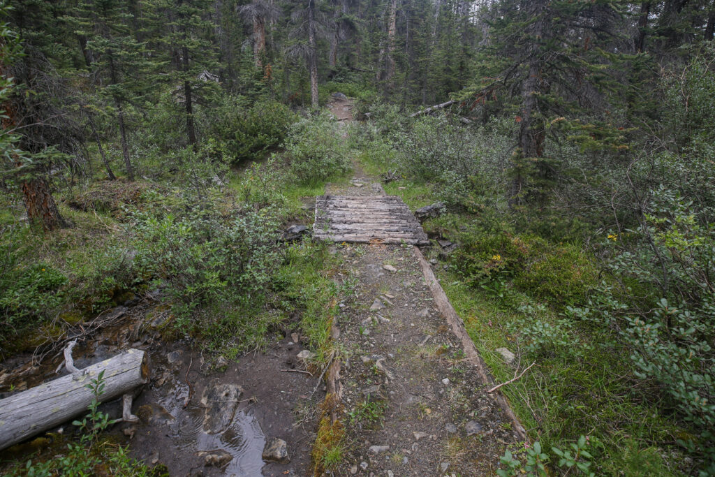
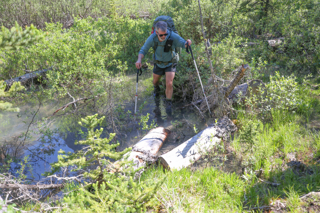
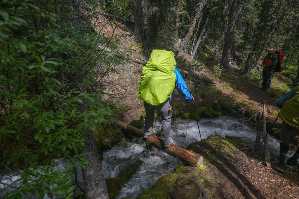
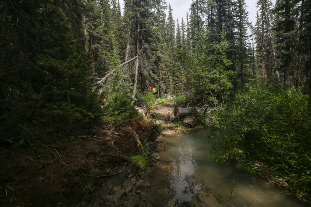
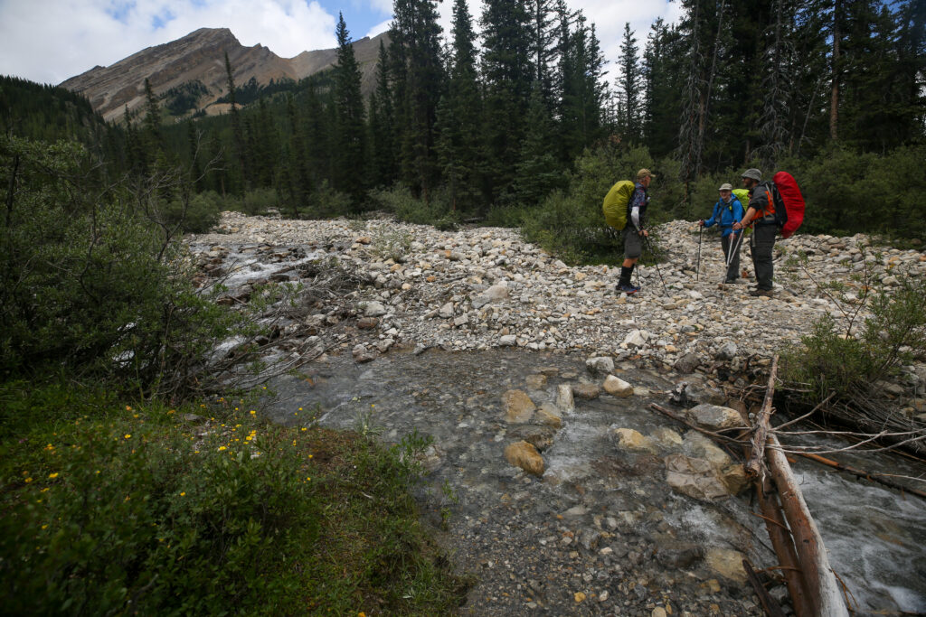
We rolled into camp at 3:10 pm. There was one last creek crossing right before camp but with the reduced water flow of mid summer we were able to cross without getting our feet wet.
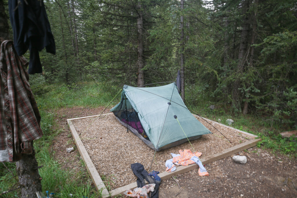
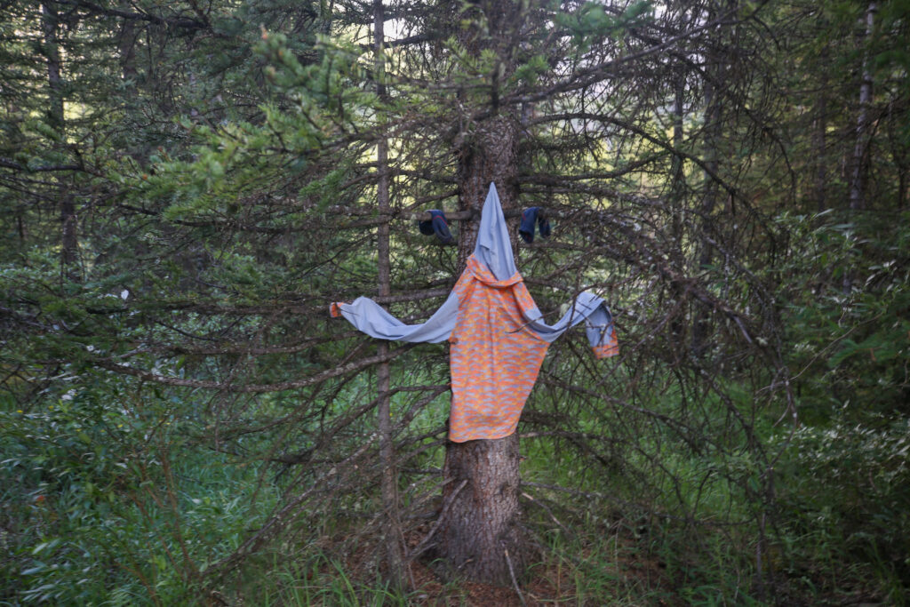
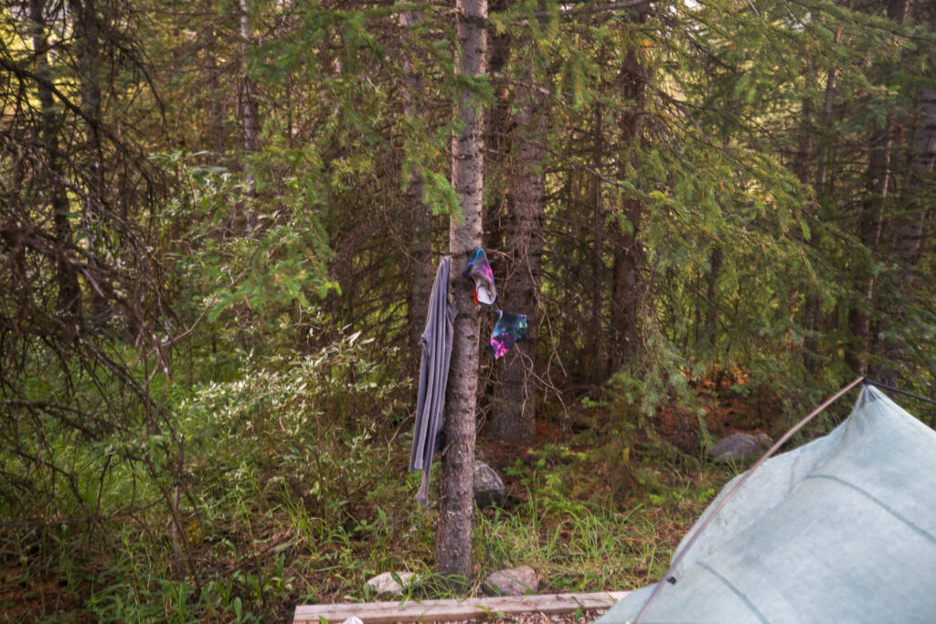
I took the early arrival at camp and the semi nice weather to do some laundry. It was day three so I thought it would be a good idea to try and remove some of the smell and grime from my gear. I do not use any soap in the back-country just dip and rinse in the creek. Since I do not carry spare pants I spent the evening in my rain pants.
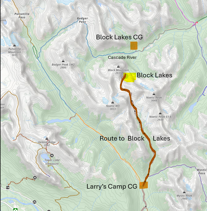
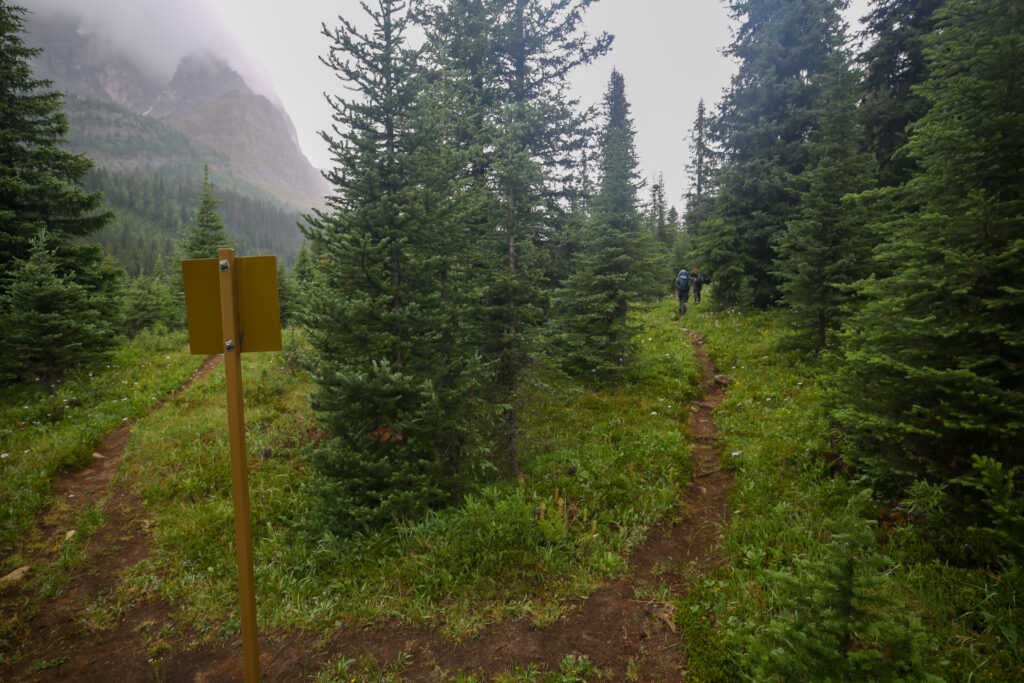
An oddity of the campground of Block Lakes Junction is that there is no actual access to its namesake Block Lakes. To access the lakes the first task you are faced with is having to cross a deep and fast running Cascade River. The second odd thing is that there is no junction at the campground. From research online I do know that people get to Block Lakes as I have seen references to the lakes on fishing blogs. I did get some intel from an old timer in Canmore who I meet on the local trails. He said that he accesses the lakes by hiking up a valley near Larry’s Camp Campground and coming over a pass a down to the lakes (see map above). The route from Larry’s Camp would 9.2 km off trail hiking with 870 m of elevation gain. I think with the right hiking partners that this would be a fabulous little adventure.
We made a bit of mistake today that had repercussions for others in two days. I knew that for one of our campgrounds we did not have enough permits. I thought it was on this day. Jordan set up his small one person on the path right beside my tent. We actually did have three permits at Block Lake Junction it was at Sawback Lake CG we only had permits for two sites.
As we were getting ready for bed I asked Micah if they had seen Bob. We met Bob last night at Luellen Lake CG when Bob arrived after we had finished our dinner. Bob was hiking solo and it was now getting late and I concerned about were he might be on the trail. Micah had not seen Bob at that point but came back to the tent a little later and said that Bob had arrived in camp and had chatted with Bent and Jordan. It appeared that Bob was a sleep in late arrive late kind of backpacker. We would not see Bob again as he would bypass Flints Park and go straight to Sawback Lake CG.
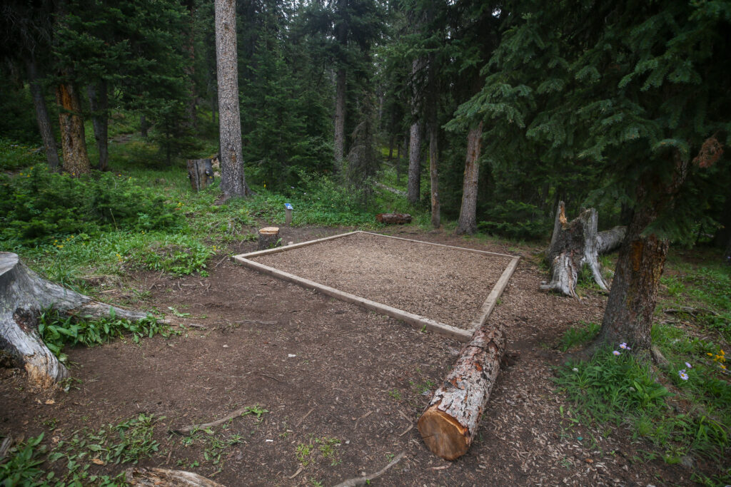
Good night from Block Lakes Jnc CG.