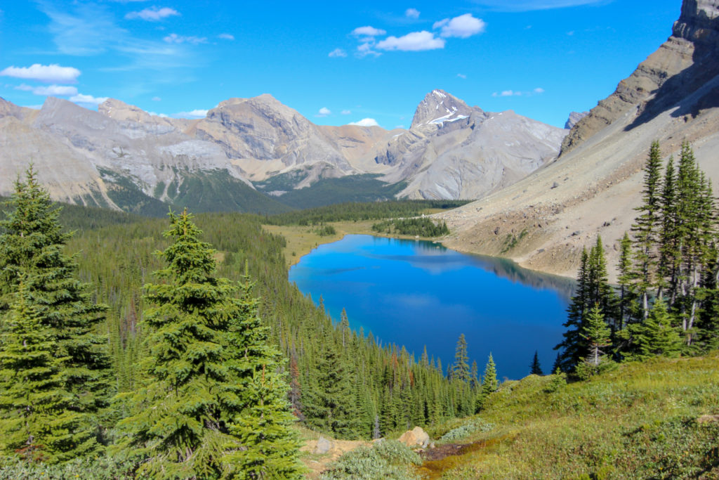
Along a creek, through a forest, up into a high alpine meadow, past a lake, over a mountain pass, and down to mountain lake.

Our third Canadian Rockies backcountry camping trip. I found this hike while looking for a backcountry trip for my kid Micah. Micah loved the hike and the lake, but did warn us about the mosquitos. The hike was summarized in our guide book by Graeme Poole, “Classic Hikes in the Canadian Rockies”. While the first day was a little long at almost 7 hours, and Links did get tired on the second day, I have to say that Fish Lakes was a worthy destination and wonderful trip to the backcountry.
What We Learned
- Good to have some extras when hiking, like wine and chocolate
- Laura needed a new backpack. While she did have a hip belt on her pack, it did not actually support the pack, and therefore did not properly transfer the weight to her hips.
- It takes practice to learn how to use a tablet GPS program. I use Viewranger installed on a tablet to track our hikes. I have learned that the distance and elevation calculated by the tablet is not accurate. The tablet usually records more distance and more elevation than actual. On this trip the tablet said the distance on day 1 was 17.23 km. Since the guide book had said 14.8 km, I kept misquoting to Laura how close we were to finishing. This was very frustrating, as we could see that Fish Lakes was not as close as the tablet was indicating, but we were thinking that we were almost finished. While this is a drawback of GPS tablet programs, what I am happy about, and why I continue to use Viewranger, is my location on the tablet and the GPS coordinates are very accurate. I can use the GPS coordinates from the tablet to accurately plot my position on a map, so I always know where we are.
