Fish Lakes, Banff NP, August 2016
Day 1 – 14.8km, 762 m elevation gain, 380 m elevation loss 6 hrs 40 min
This hike could not have been more different from Hermit Meadows, our last overnight trip in 2013. Where Hermit Meadows was short and steep, Fish Lakes in Banff NP is a long gradual climb, adding up to a lot of distance and a fair amount of elevation.
It was only a 1 hr and 15 min drive from home to the trailhead at Mosquito Creek Hostel. We hit the trailhead at about 10:25 am.
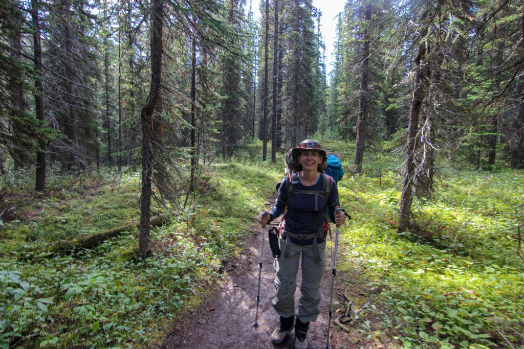
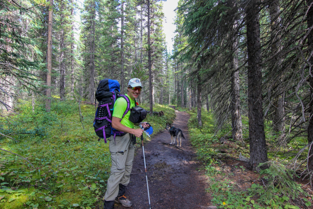
The trail descends from the road then winds up sharply through the forest, gaining the top of a ridge. The trail is wide as it makes its way through the forest, a portion of the old Wonder Road that existed before the Icefields Parkway coming out at the creek after 2.5 km.
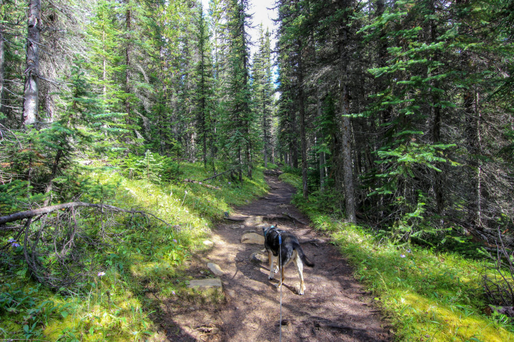
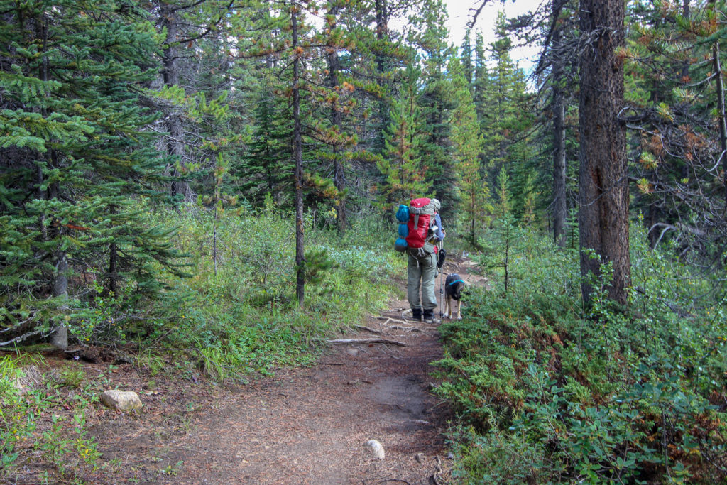
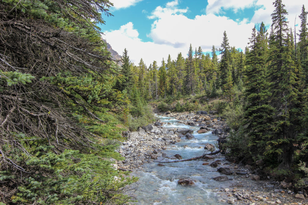
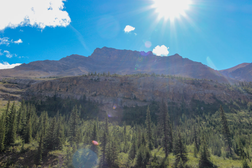
The trail then follows Mosquito Creek, criss-crossing back and forth from one bank to the other and rising gently with the flow of the creek. The creek offers open views, in contrast to the initial forested walk. We had Dolomite Peak to our left (north) and Noseeum Mountain to our right (south).
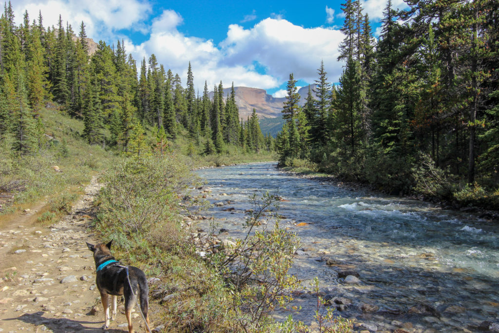
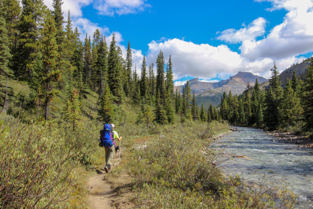
There were a few log “bridges” to cross, which kept the trail fun. We soon arrived at Mosquito Creek Campground, 5.4 km, 190 m of elevation, 1 hr 50 min. This was approximately one-third of the distance.

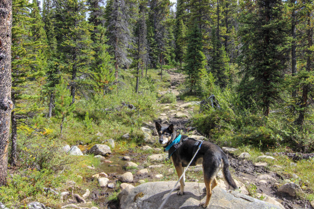
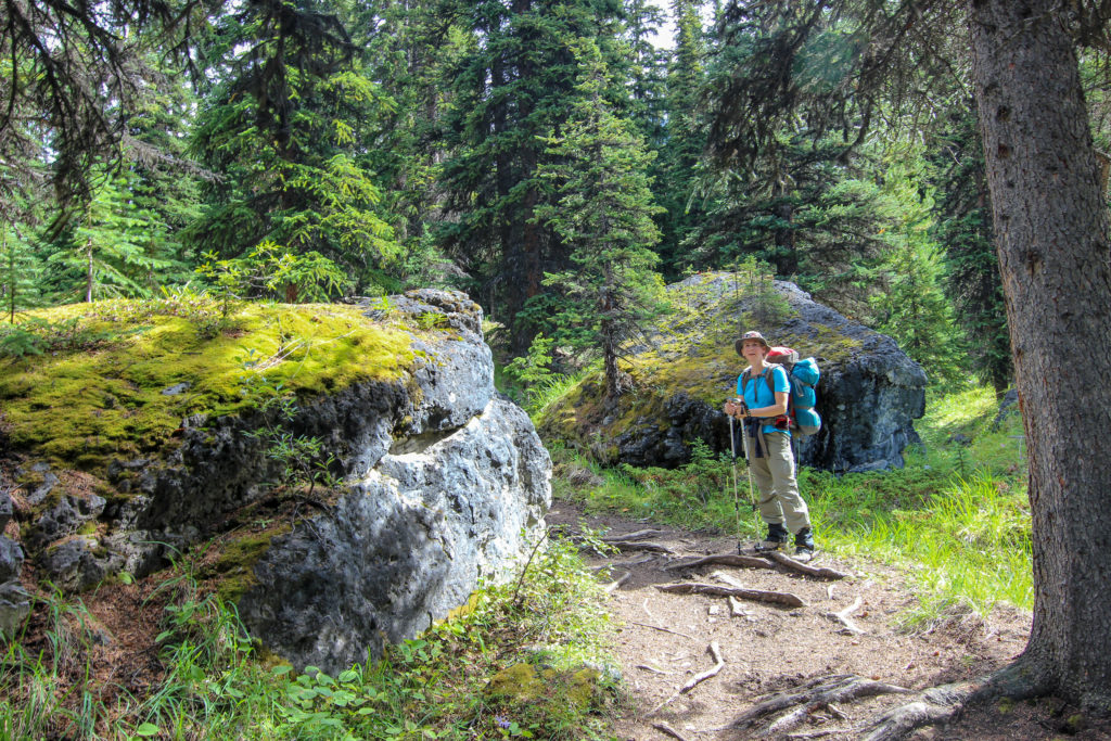
We stopped for a snack. Links had a back scratch while I admired the large boulders dotting the campground, remnants of a long-ago rockslide.
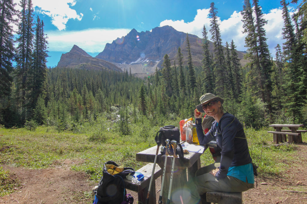
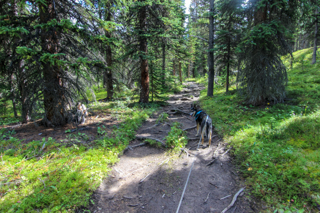
The trail led out of the campsite, crossing a bridge and meandering along the right side of Mosquito Creek. We had our gaiters on, and I had felt that we were being a little excessive. The trail soon became very rooted, which appeared to trap any water nearby, making for very muddy sections. Glad I had the gaiters on.
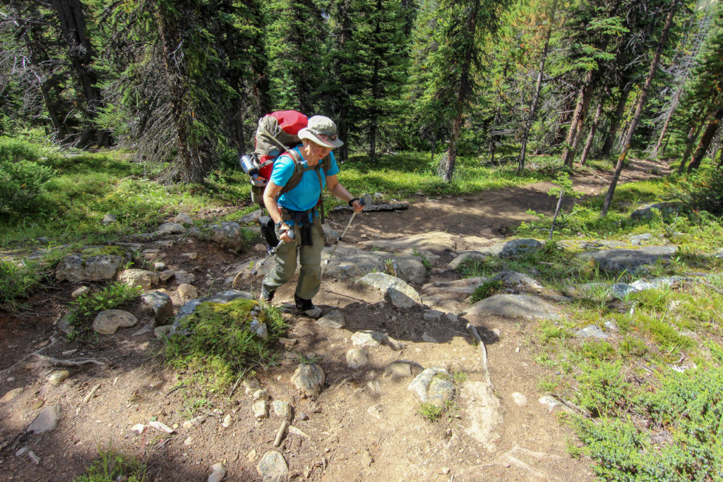
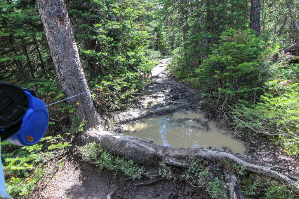
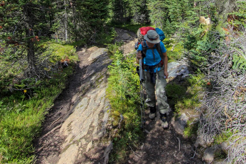
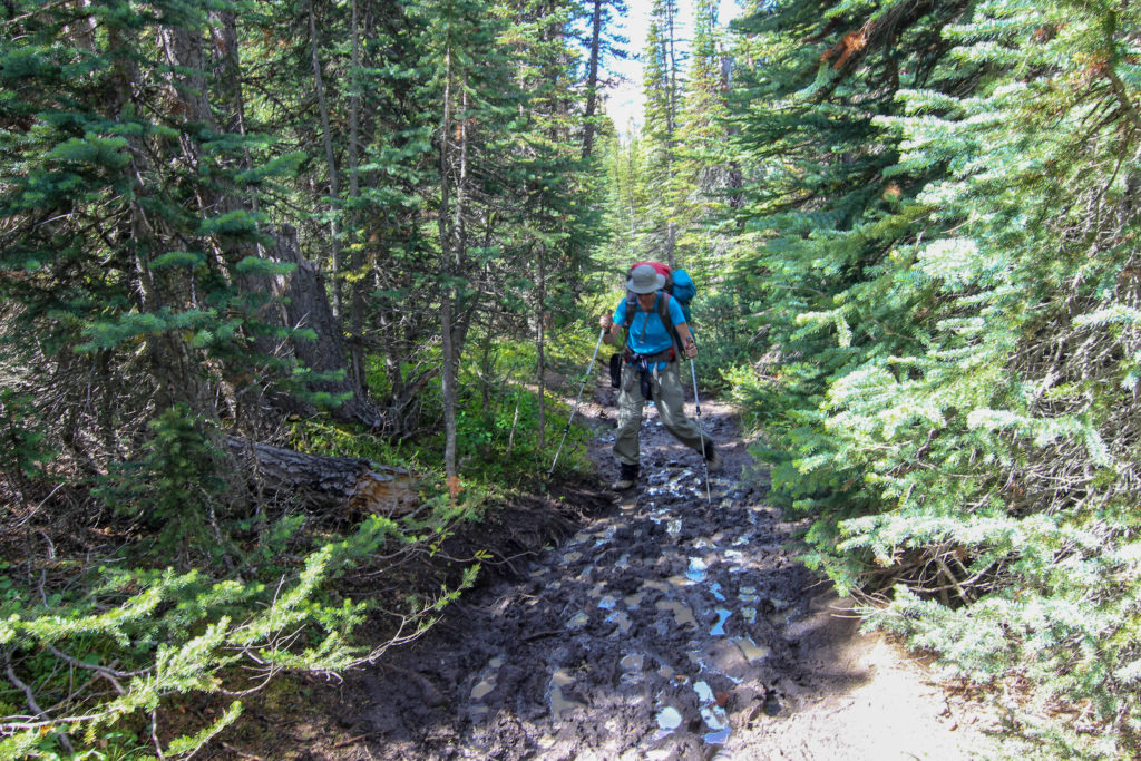
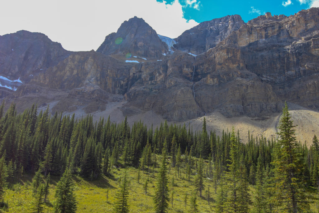
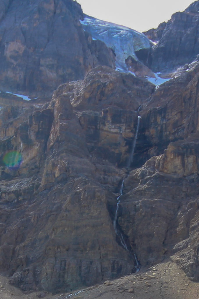
While we were still travelling across the forested valley floor, breaks in the trees afforded us views of the northern cliffs of Noseeum Mountain. I was particularly intrigued by a tall waterfall, originating from a glacier on the summit of the mountain.
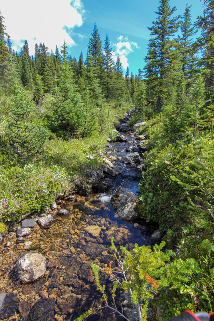
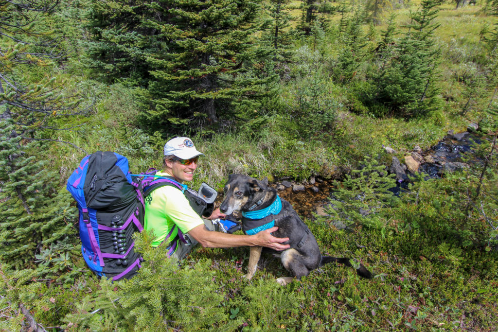
After about an hour of hiking, we took another break beside a small stream. While running water always provides a peaceful setting, it also allowed Links an opportunity to get wet and cool off.
We started to rise steadily and the trees began to thin out, signalling we were approaching Mosquito Lake. Looking back we could see the backside of Dolomite Peak. On the other side of Dolomite Peak was Helen Lake, a very pleasant day hike we have done a couple of times.
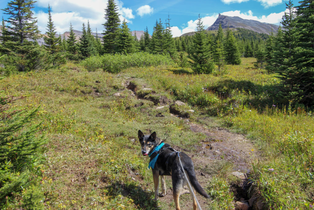
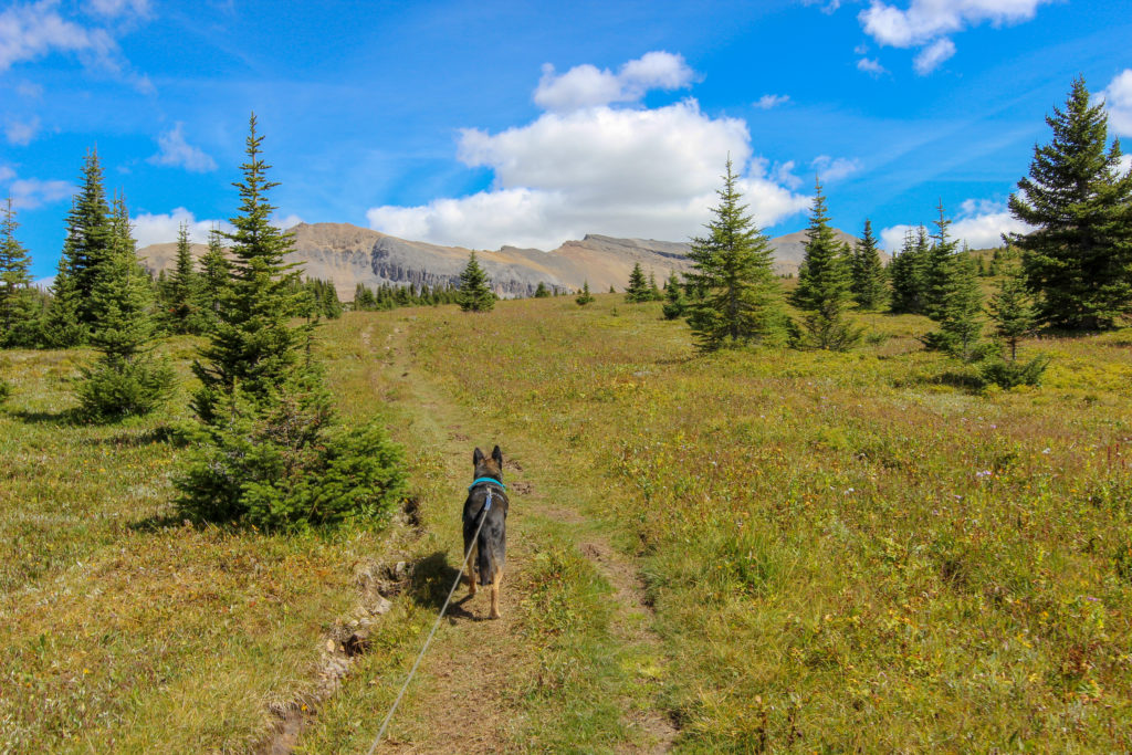
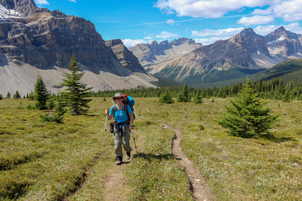
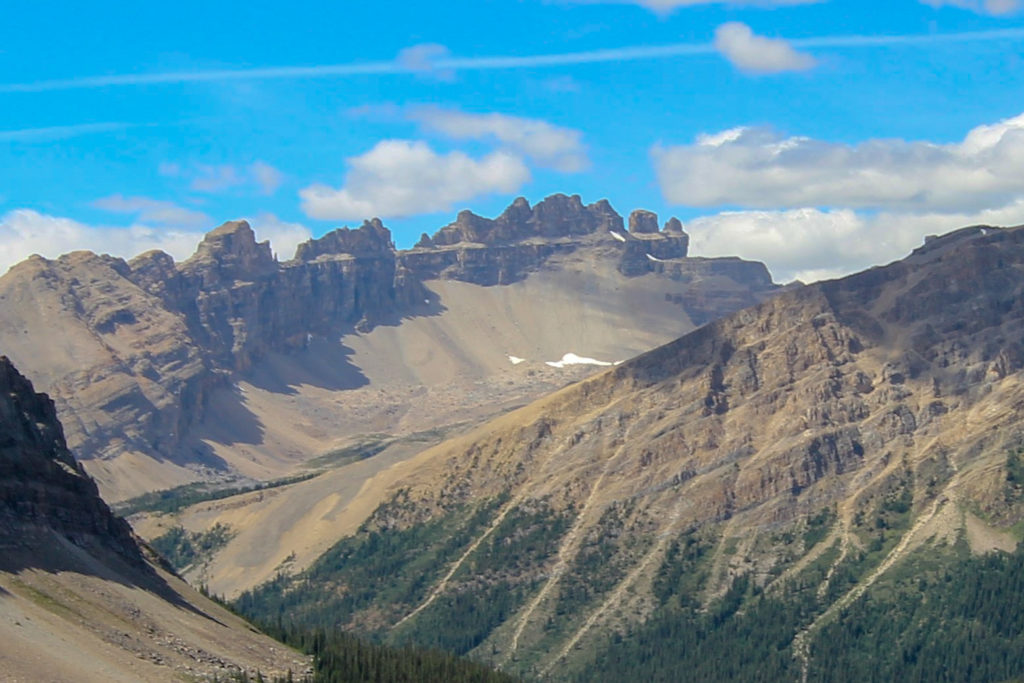
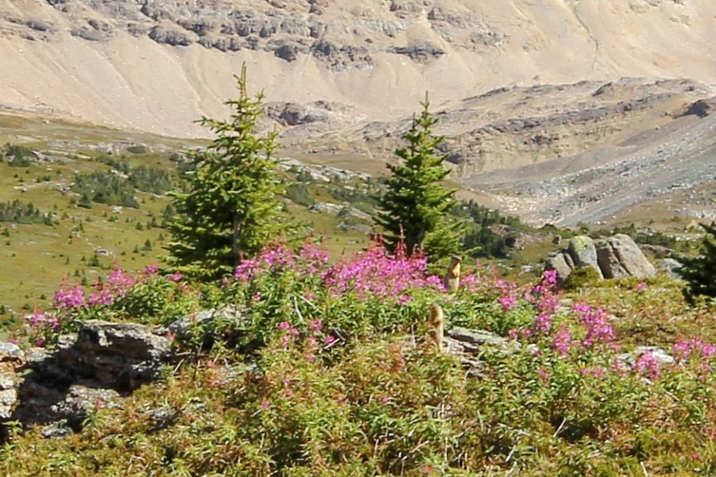
We hiked up through a braided meadow and after cresting a small rise caught our first glimpse of Mosquito Lake. We stopped for lunch and were entertained by some ground squirrels who had set up home in the rocks. It had been one hour since our last break. It was 2:15 pm and we had been hiking just shy of 4 hrs; we had covered about 9 km, with 470 m of elevation, and still had 6 km to go.
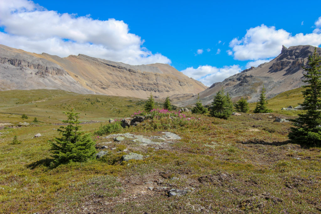
After a 20-minute break, we headed out again onto the trail. It was 3 km and 290 m of elevation up to North Molar Pass, the high point on the route at 2590 m. We passed a family hiking down from North Molar Pass, they did not have any camping equipment, so must have day-hiked from the trailhead.
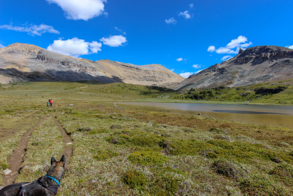
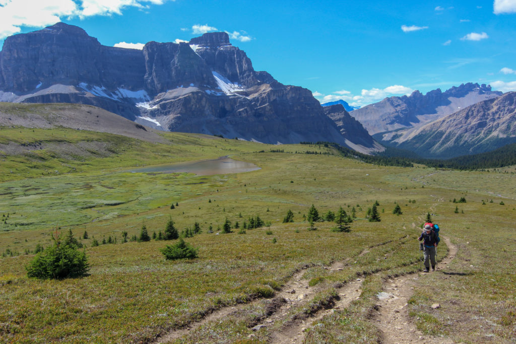
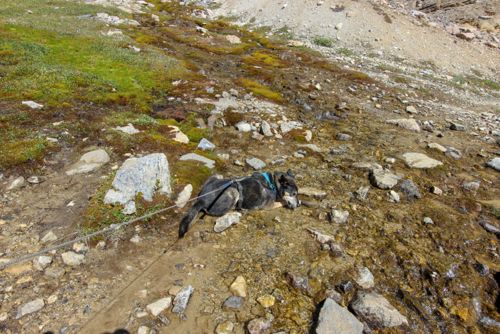
This initial climb to the pass was through an alpine meadow on a well-worn trail. The area is almost entirely grassland, with only a few small shrubs dotting the landscape. After 40 minutes, the trail transitions from meadow to rock. A small stream flows over the flat rocks, and Links took the opportunity to have a drink and lie in the water to cool off.
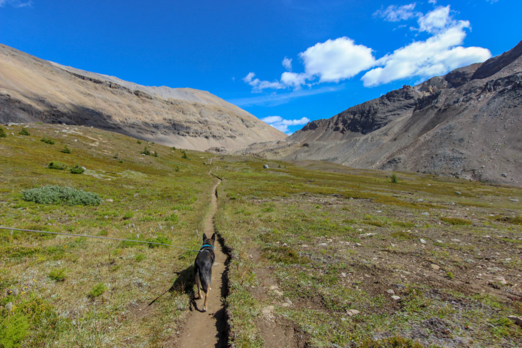
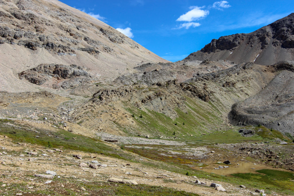
The trail over the pass was very obvious, as it runs directly along a fault between two distinctive rock types. To our right (west) was the dark-coloured quartzite of the Gog Formation (one of the few silicon-based rock formations in the Rockies) and to the left was tan-coloured limestone of the Cathedral Formation.
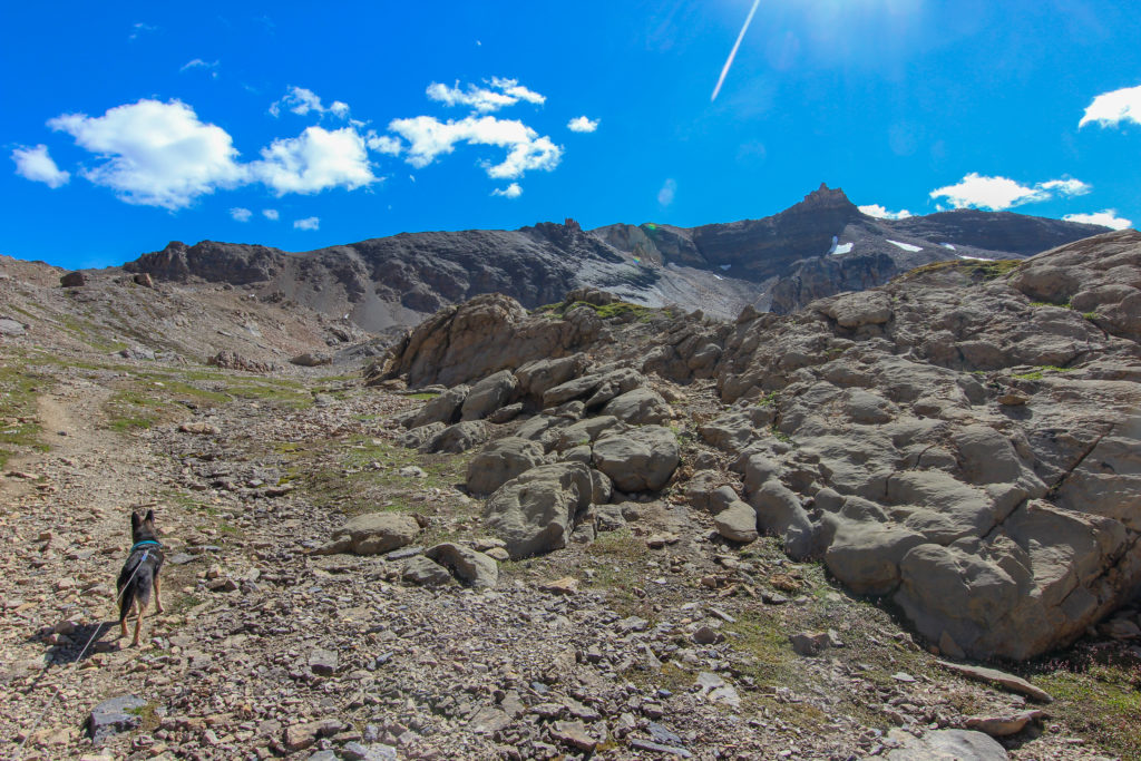
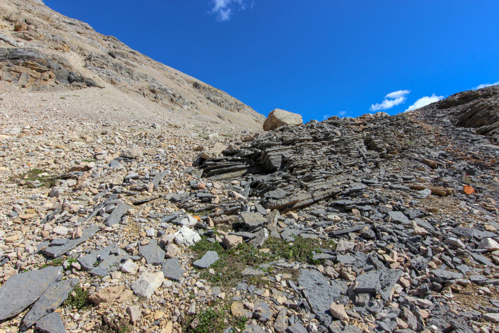
A large cairn marked the top of the climb. It had been about 1 hr 10 minutes since we left Mosquito Lake. Looking back where we had come from, Dolomite Peak, which used to be so close, was now far off on the horizon.
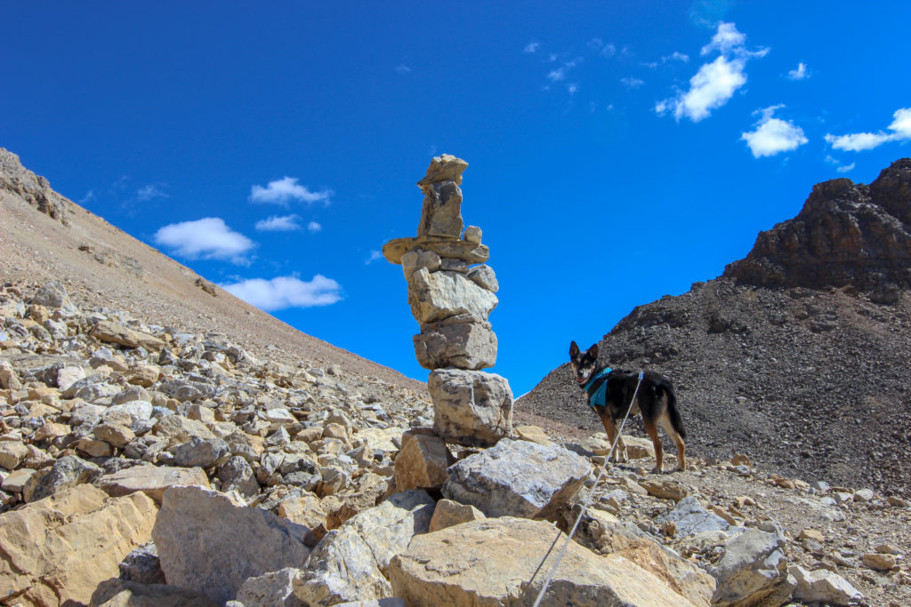
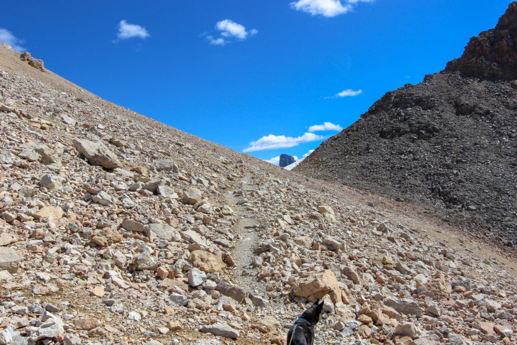
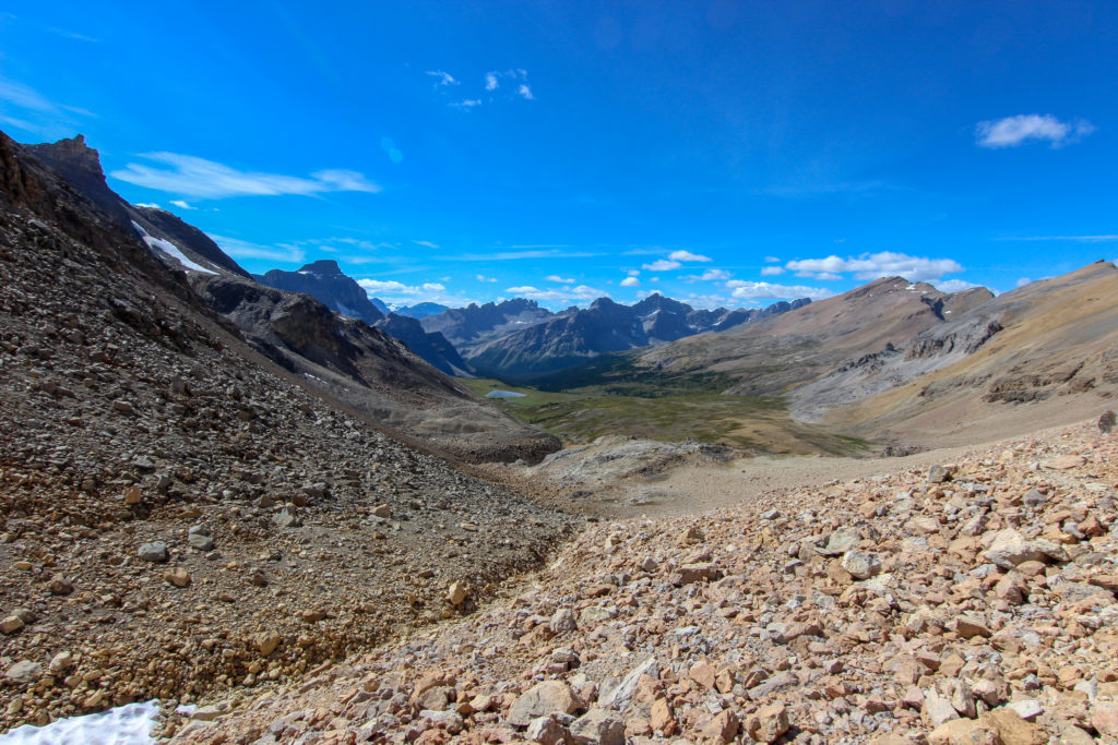
We passed a small snowfield and then descended quickly to a grassy meadow.
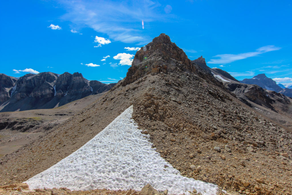
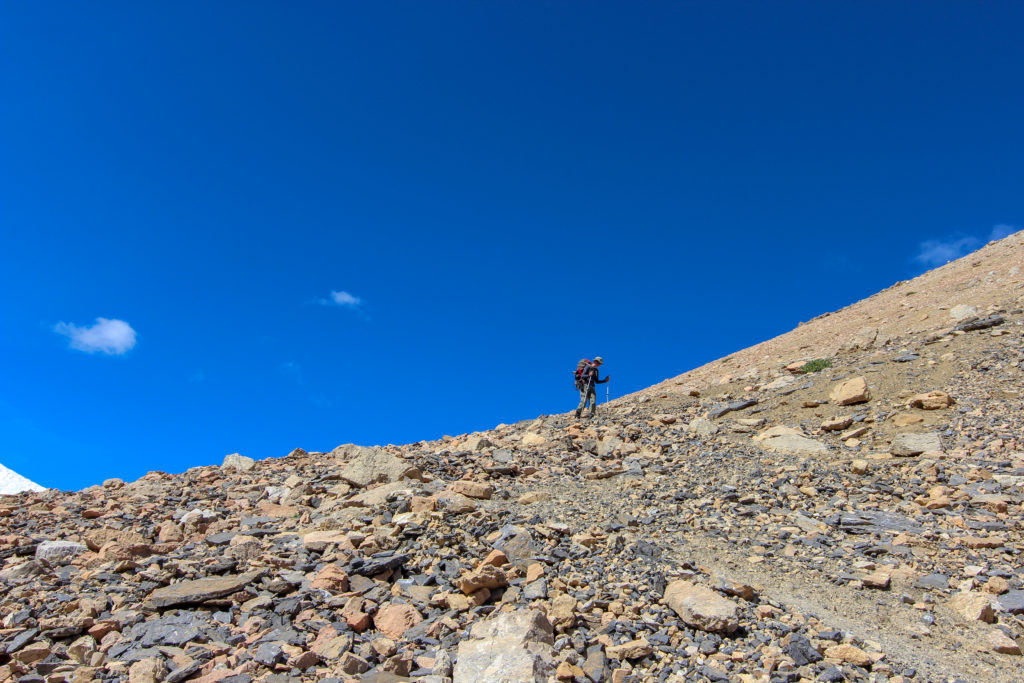
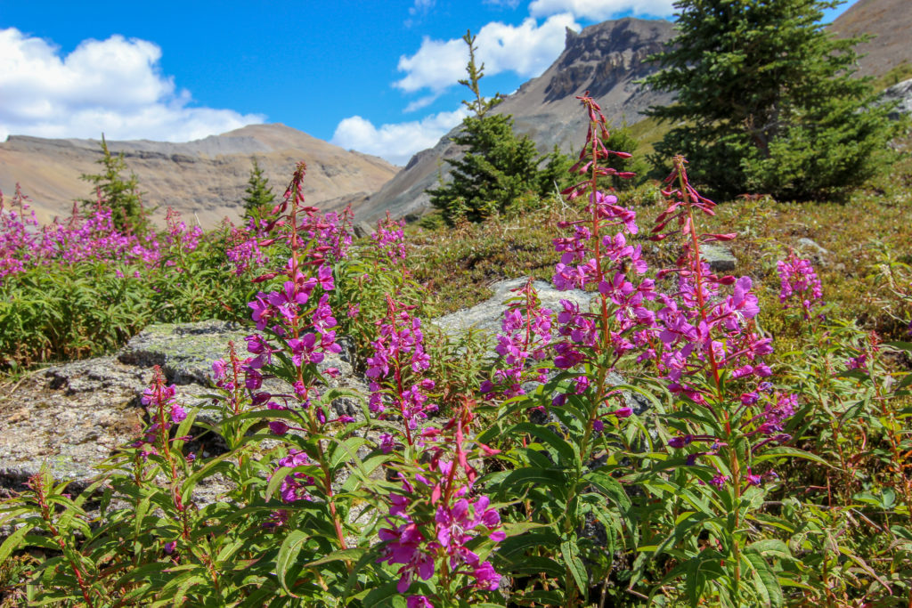
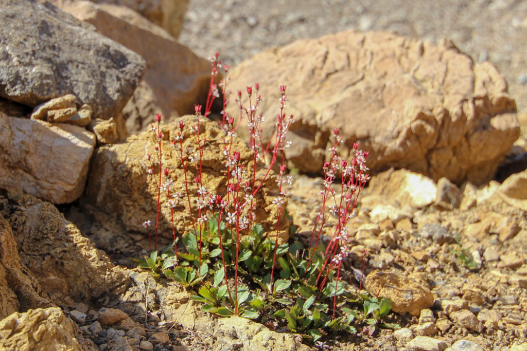
The flowers were out, and the landscape was quite pretty. As with many of the mountain ranges in the Rockies, we had sloping mountains to our left (east) and massive cliffs to our right (west). This is a result of the thrust faults that pushed the rock from the west, causing the rock to break and rise over the eastern rock. We have the same mountain styles in the Bow Valley where we live.
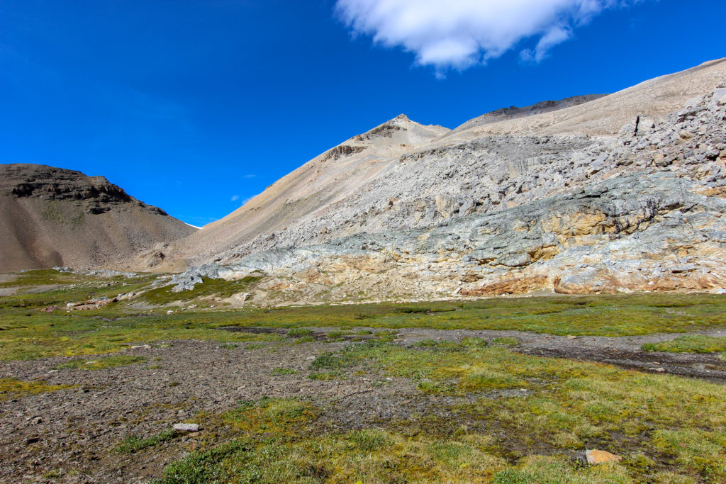
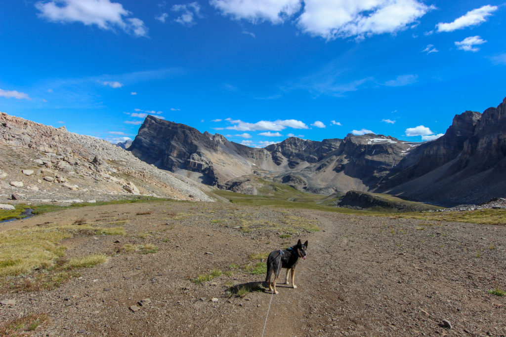
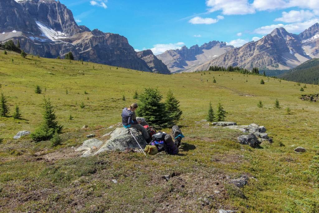
We passed a couple of young women that we had been leapfrogging with since early on in the day. They were having a nap partway down the meadow. The trail direction was easy to follow: go down. But the trail was very braided in this section.
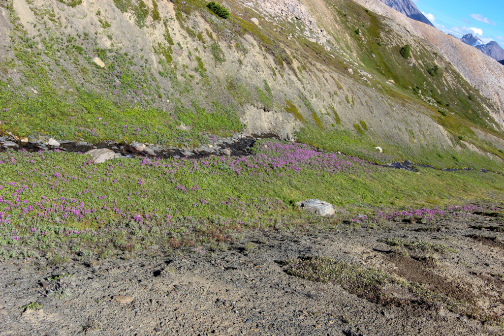
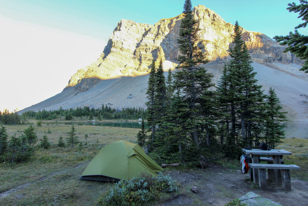
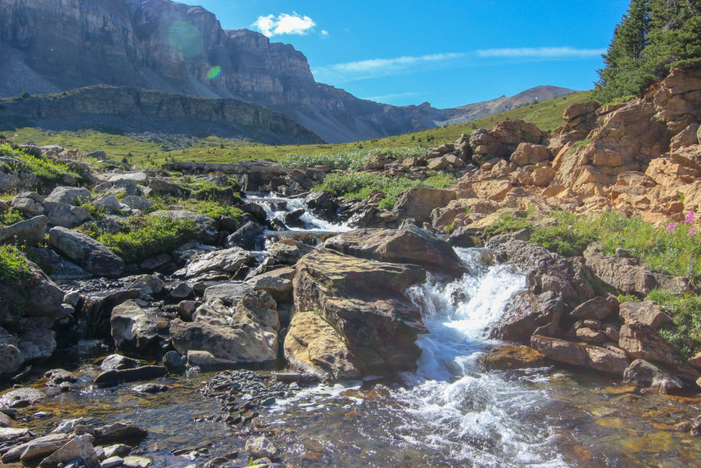
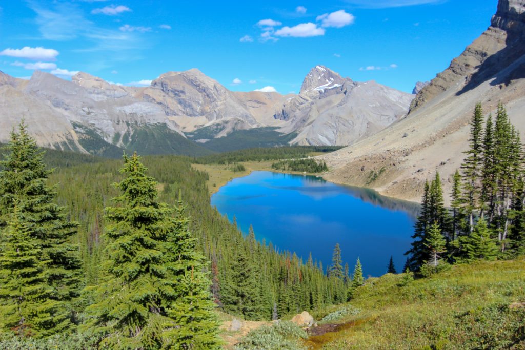
We passed a nice waterfall, and crossed a bridge, Fish Lakes was now in view, just a little further to go. After descending a steep headwall that forms the west end of the lake, we quickly arrived at the campsite. The camping areas are located in the trees, just a 100 m from the lake. It was 4:55pm.
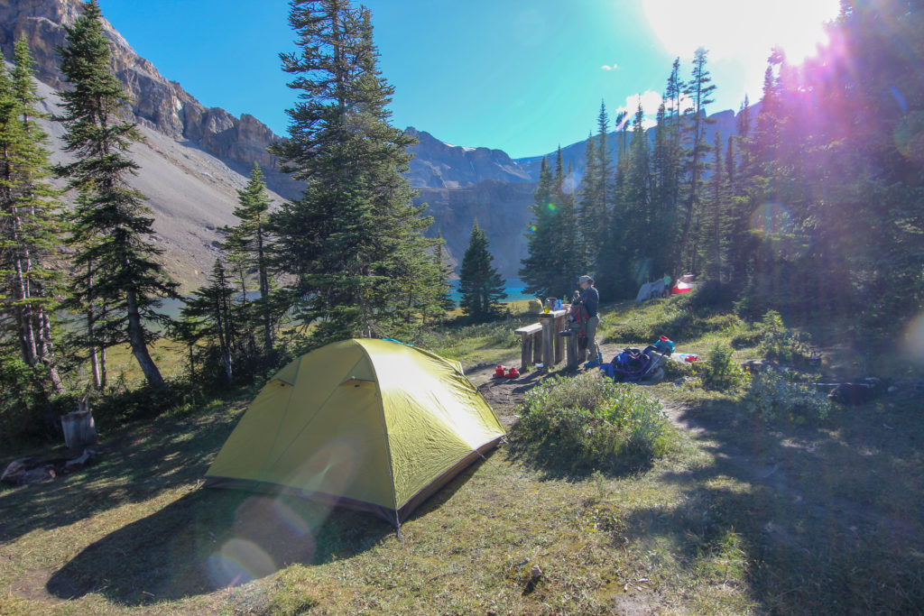
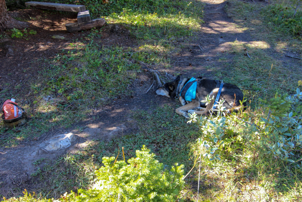
Found an empty campsite (at least three other groups were there), we dropped our packs and began setting up the tent. Links took this opportunity to have dinner, then go to sleep—long day for him. We had the tent set up by 5:40 pm, dinner was sure to be some dried Mountain House.
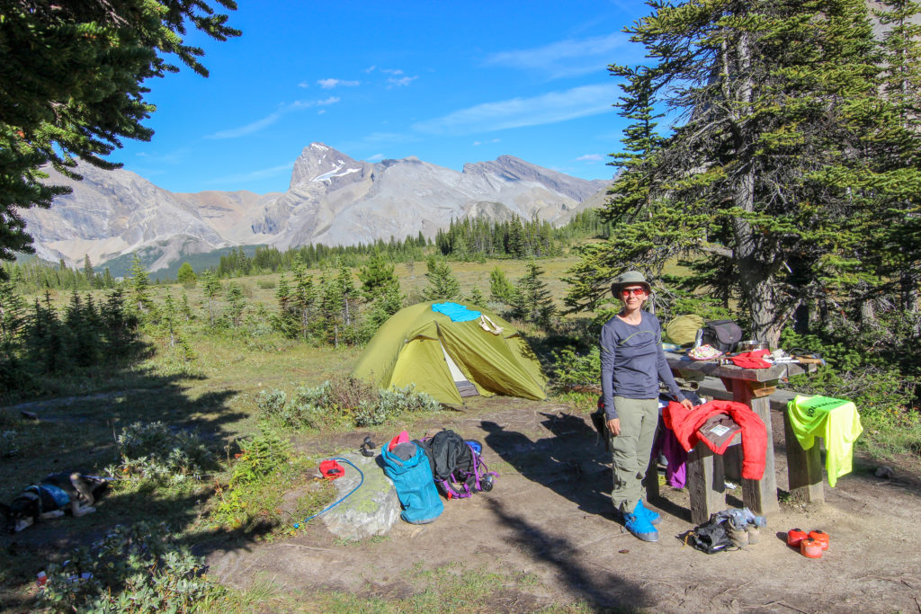
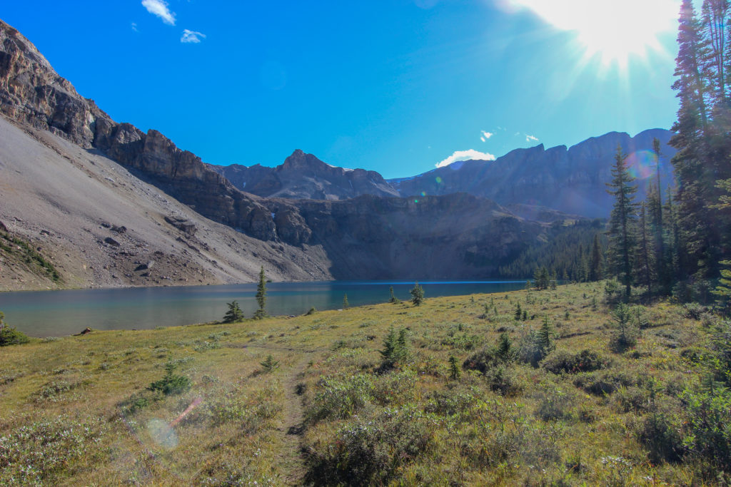
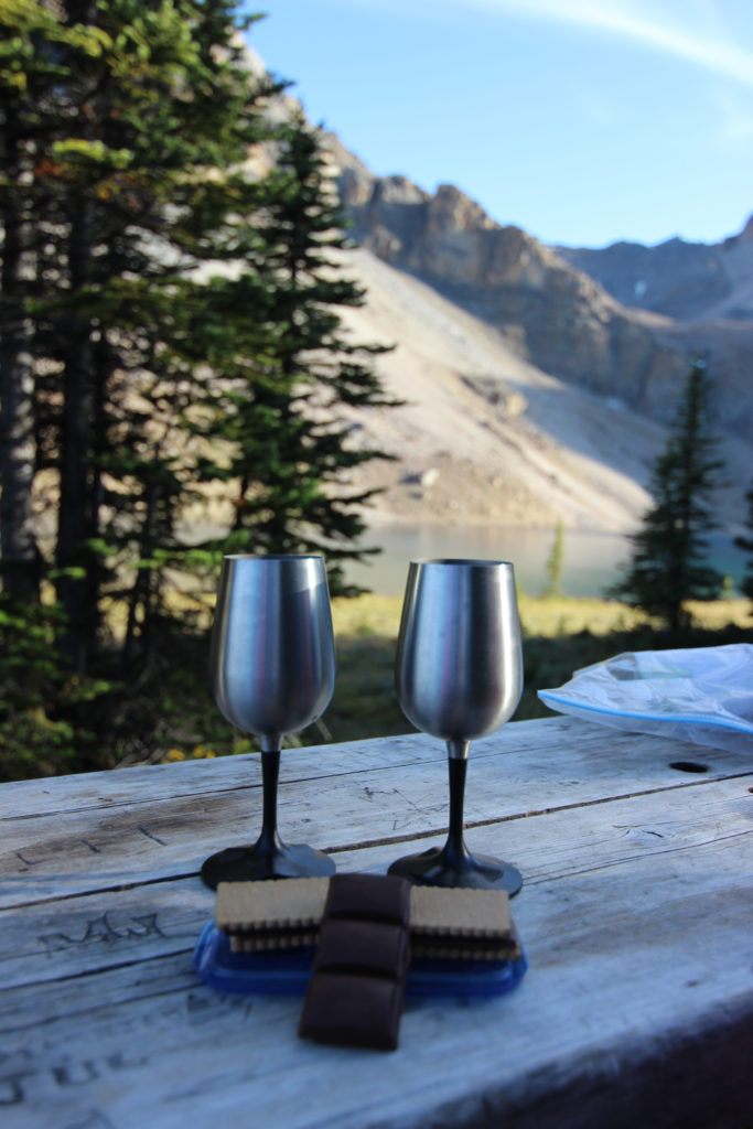
We did treat ourselves on this trip, bringing wine, chocolate and chocolate biscuits. Just because one is camping does not mean one cannot have some of the comforts of home.
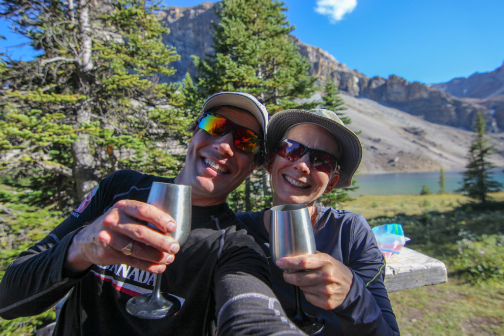
We chatted with another couple at the campsite who had been camping to the east along Pipestone Creek. They told us that they had seen bears during their hike, but we did not see any during our trip. We headed to bed about 9 pm.

Links is a rescue dog, lived a year in the wilderness in and around Kananaskis. He has this habit of “nesting” He digs a spot where he can lay down and sleep for the evening. He does this at home as well, digging usually at his mat. While he is in the process of building his nest, he is very focused and really oblivious of anyone around him.
