Day 2 – Floe Lake to Numa Falls Parking Lot, 17 km, 279 m Elevation Gain, 955 m Elevation Loss, 6 hrs 45 min
We allowed ourselves a lie-in. This day was going to be longer, 17 km, but after a quick climb to Numa Pass, it was all downhill. Numa is the Cree word for thunder.
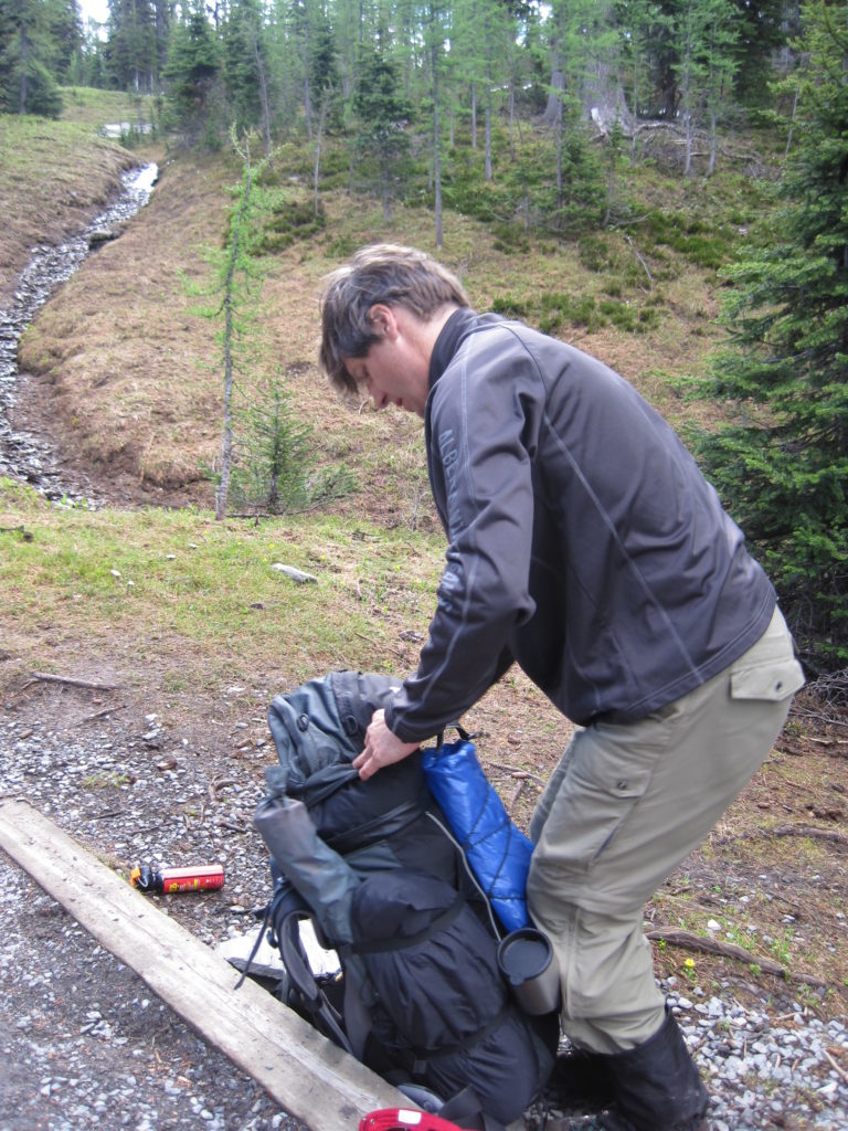
We were all packed up by 9:25 am, and after a quick stop at the outhouse, we were on our way by 9:30 am. The outhouse was interesting (for an outhouse) in that it was covered in fine mesh. We were told that there are porcupines in the area that like to gnaw on the wood. There was evidence of this, with scat all around the outhouse.
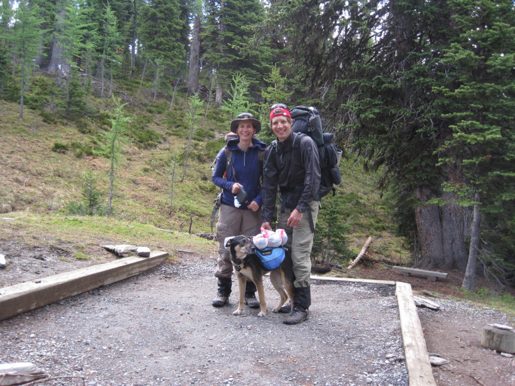
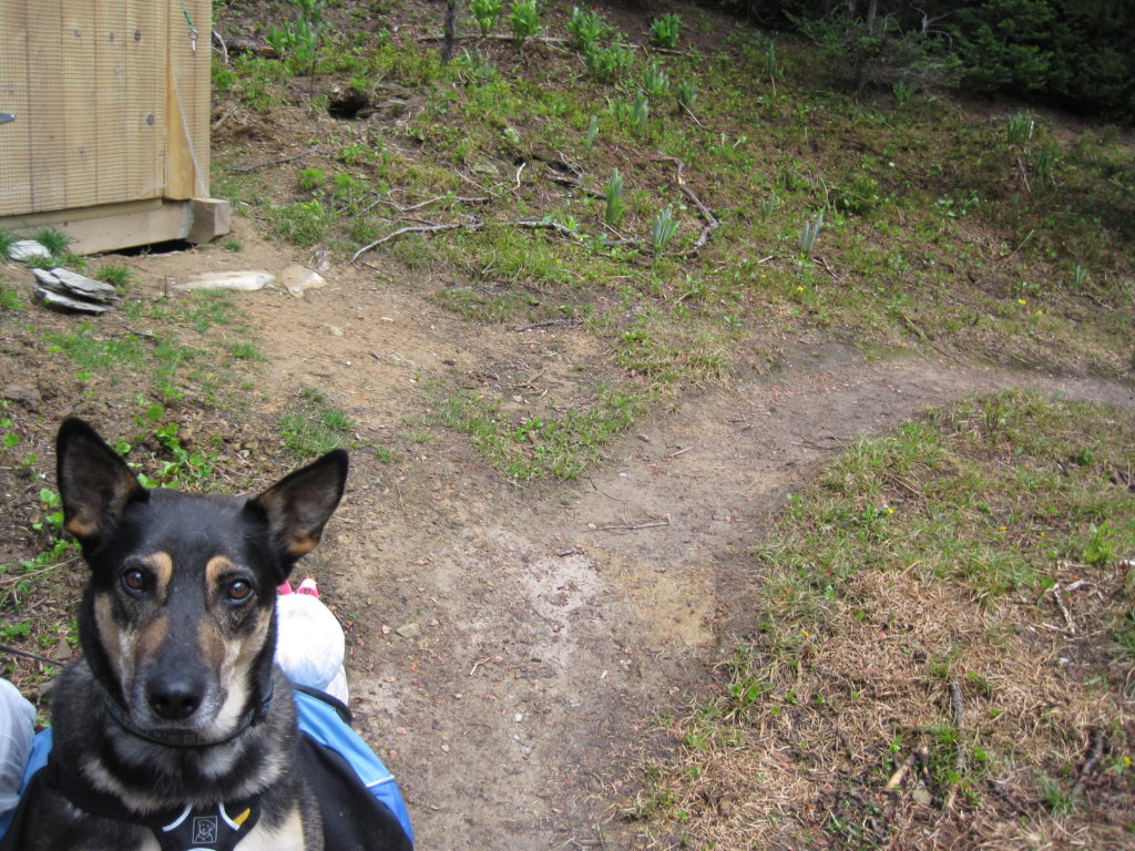
We left for Numa Pass from the north end of the campground. The trail passed through a small wooded area, before heading up and out of tree line. As the trees thinned out, the views opened up. Floe Lake looked majestic with its blue waters, icebergs and cliffs all around. Floe Lake is at approximately 2000 m, while the cliffs rise over 1200 m above the lake.
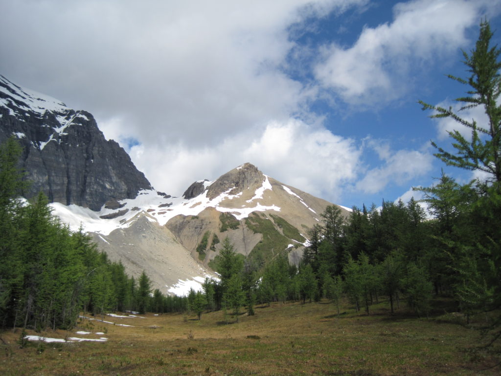
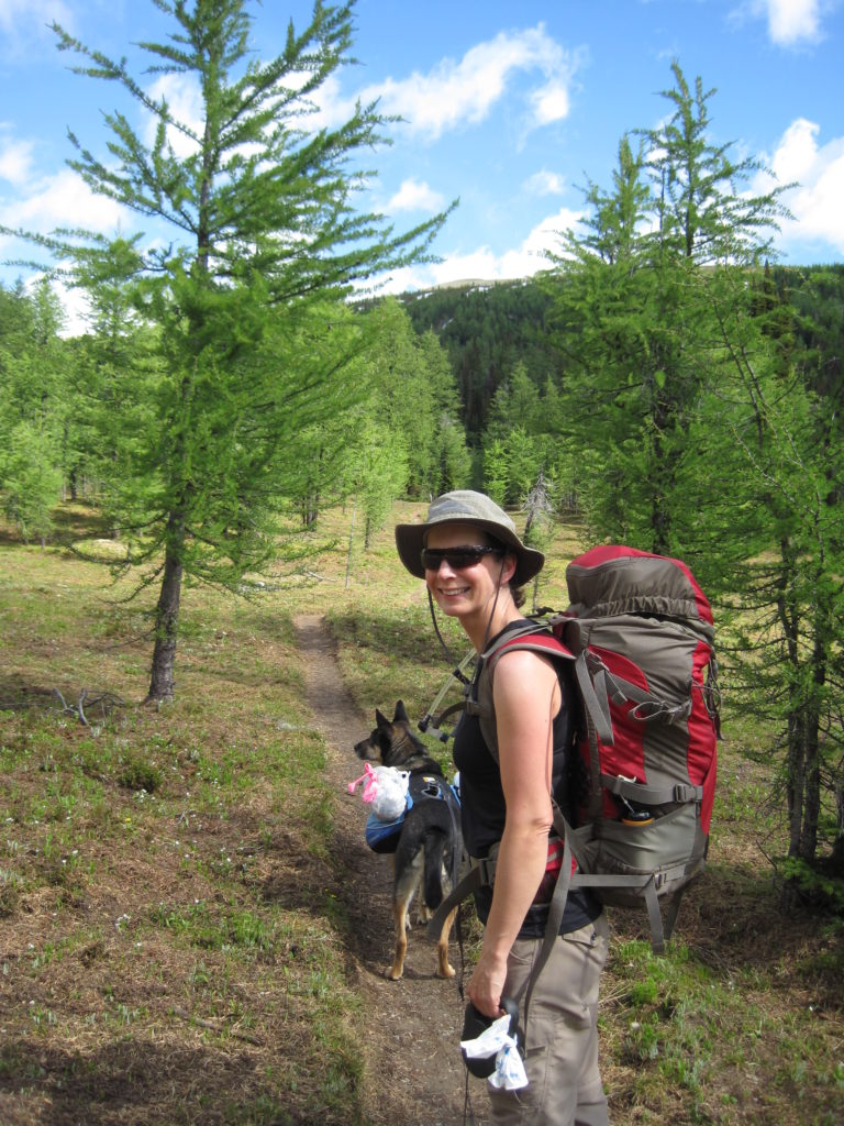
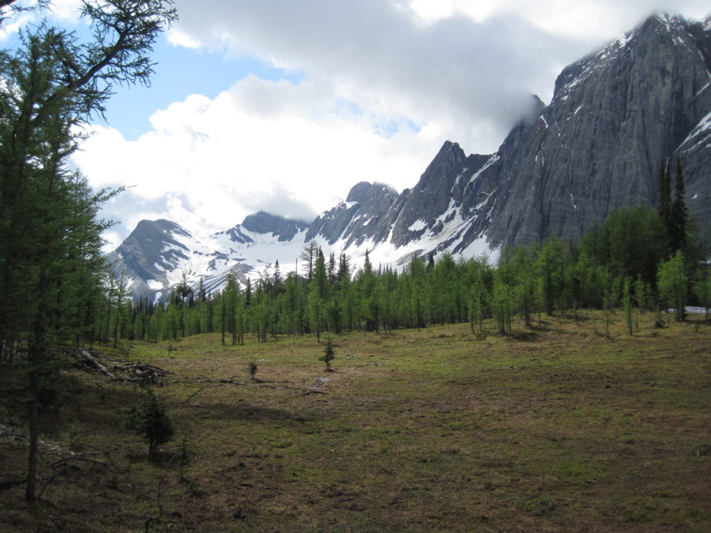
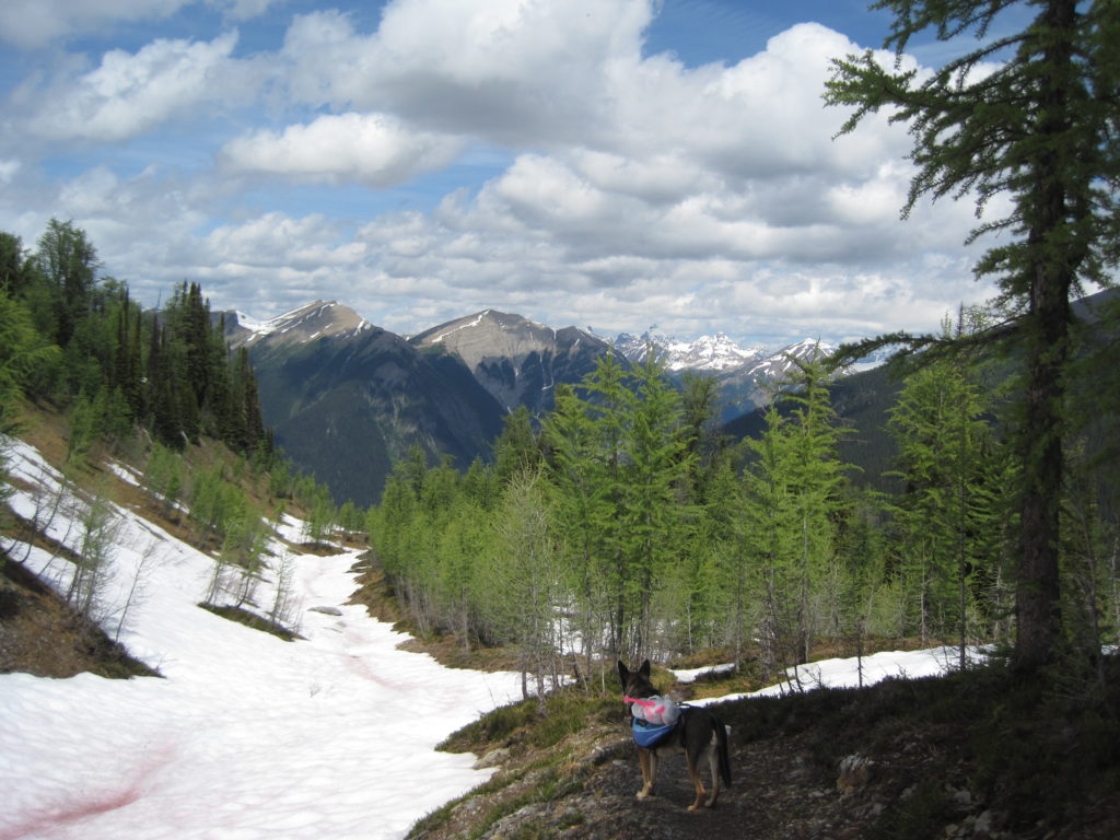
The trail worked its way steadily upwards. After an hour of hiking we started to encounter snow on the trail. After starting the day in t-shirts, fleeces and windbreakers were slowly being put on.
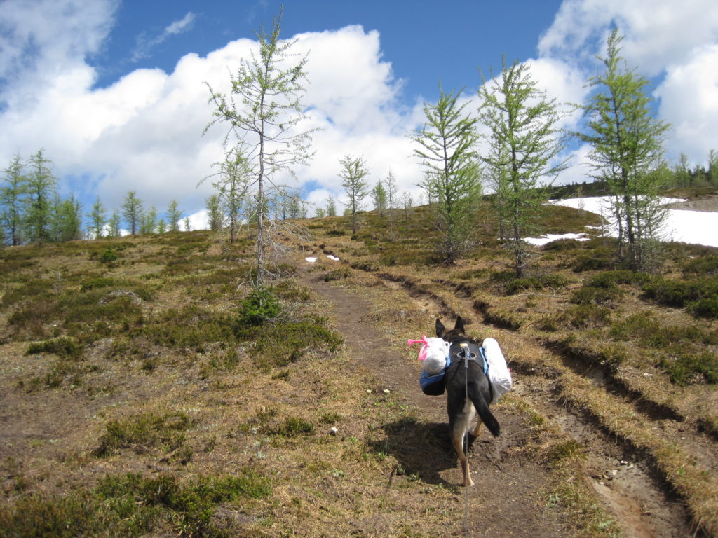


None of the snow was very deep, but the snow fields were bigger and longer as we approached the pass.

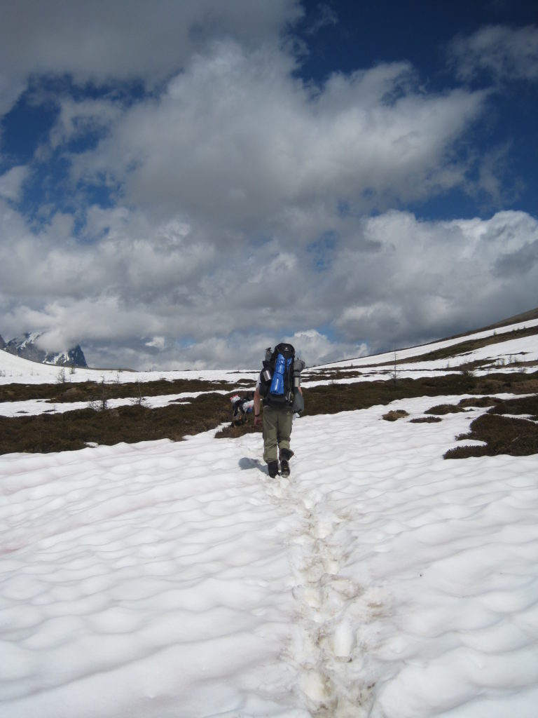
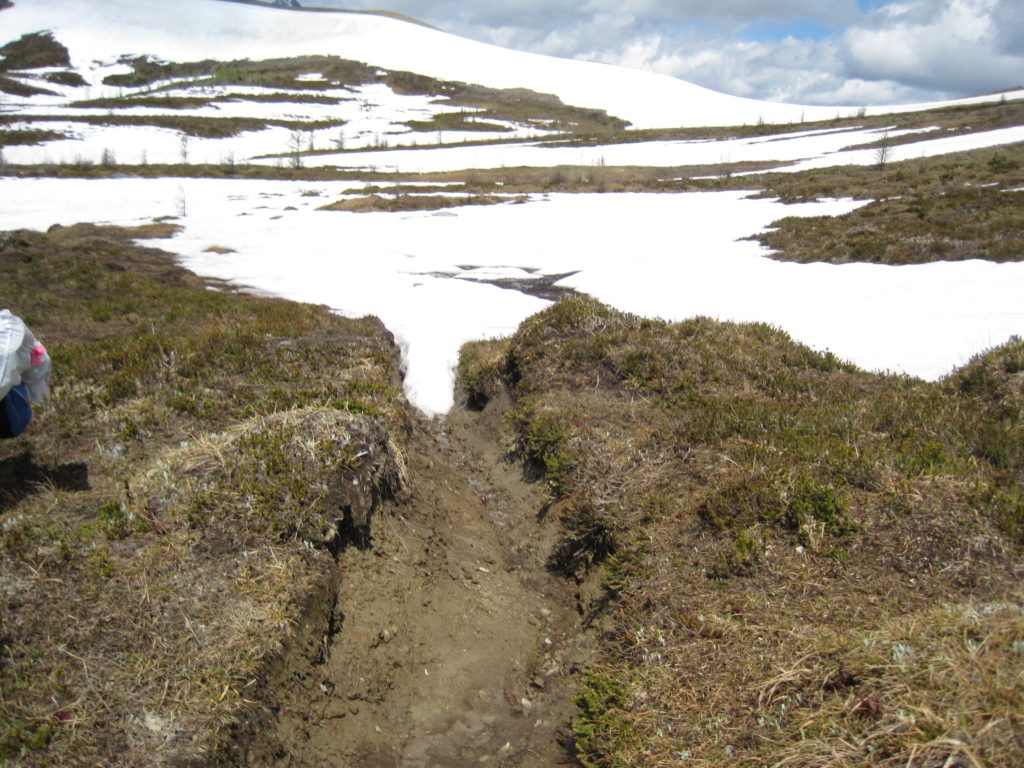
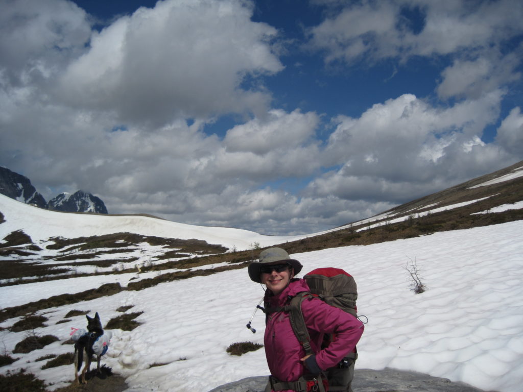
The pass was clear of snow, and the view over the pass into the distance was incredible! We could see the backside of Mt Temple in the far distance. We had covered 3.2 km, 279 m of elevation in 1hr 45min.
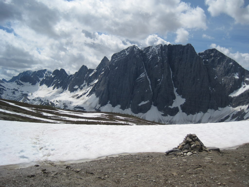

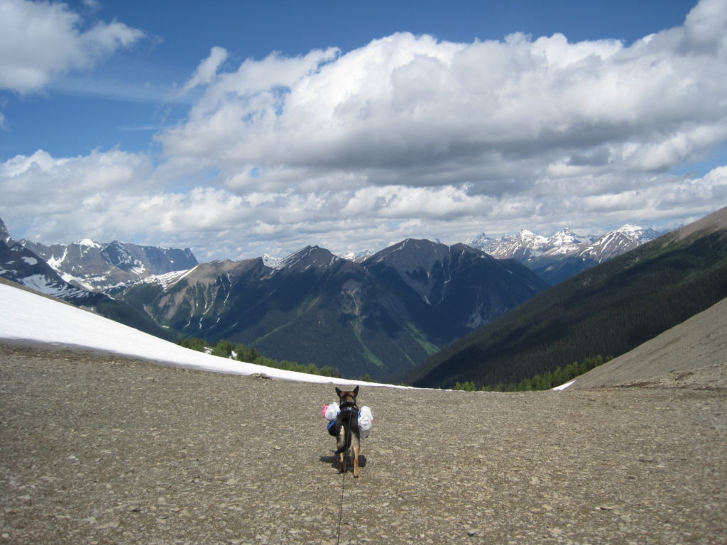
We quickly crossed over the pass and headed down. As we left the shattered scree slopes and were about to enter the trees, we lost the trail in the snow. There was a choice of two valleys to descend and we just could not determine which valley we should enter. We entertained the idea of heading back, as we knew we would get back to the car. After some tentative exploring into the valleys, the trail appeared in the left-hand valley and we were off and hiking again.
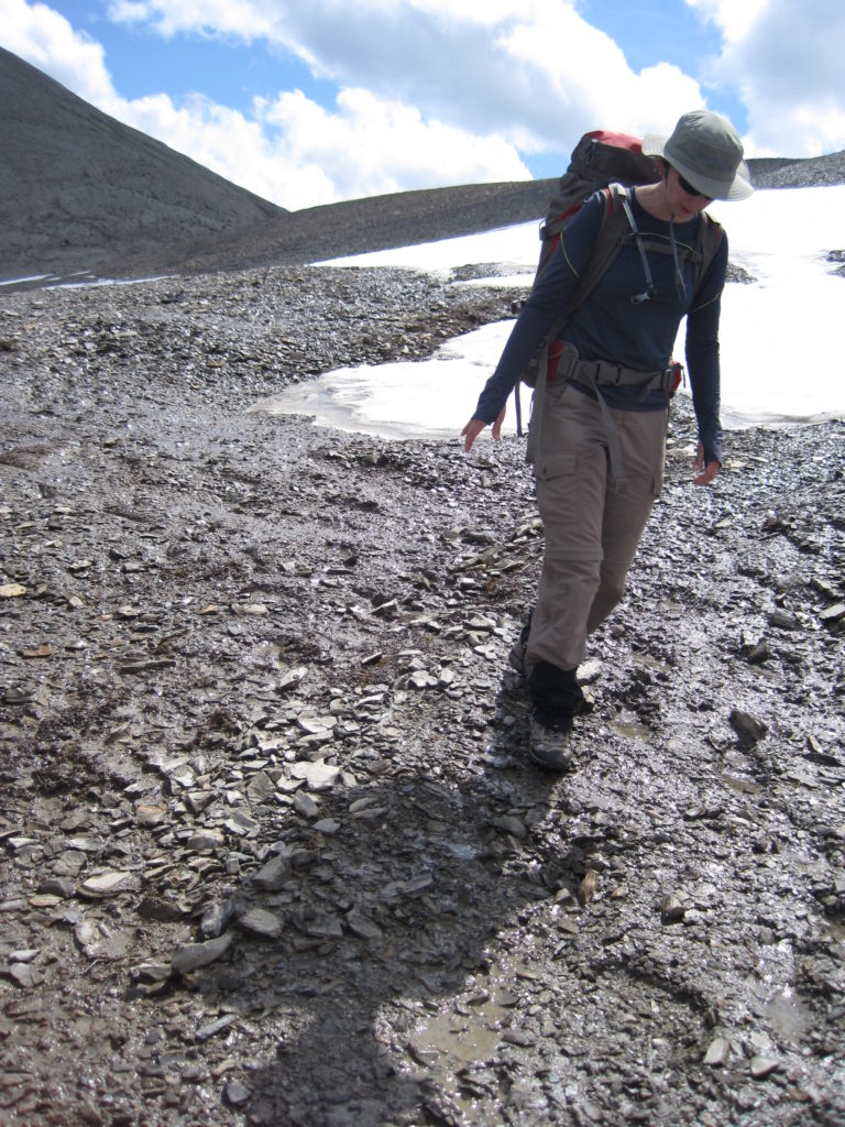
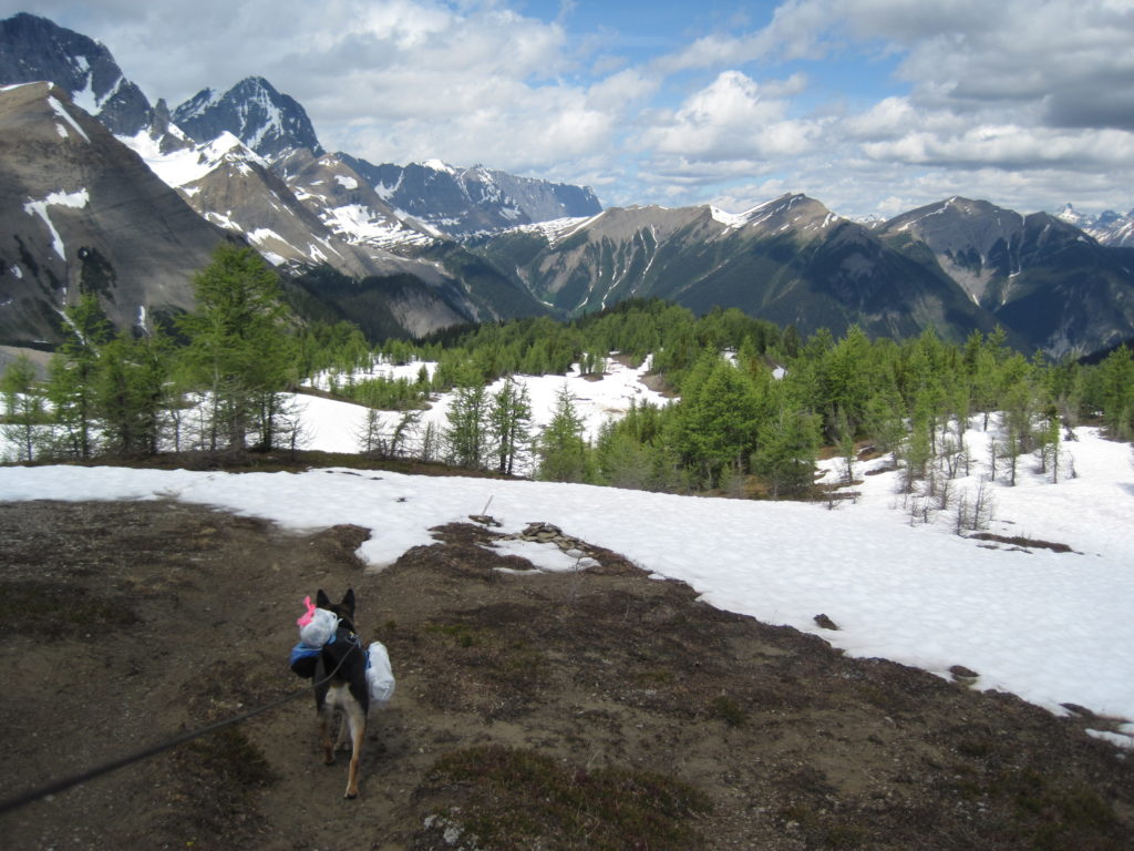
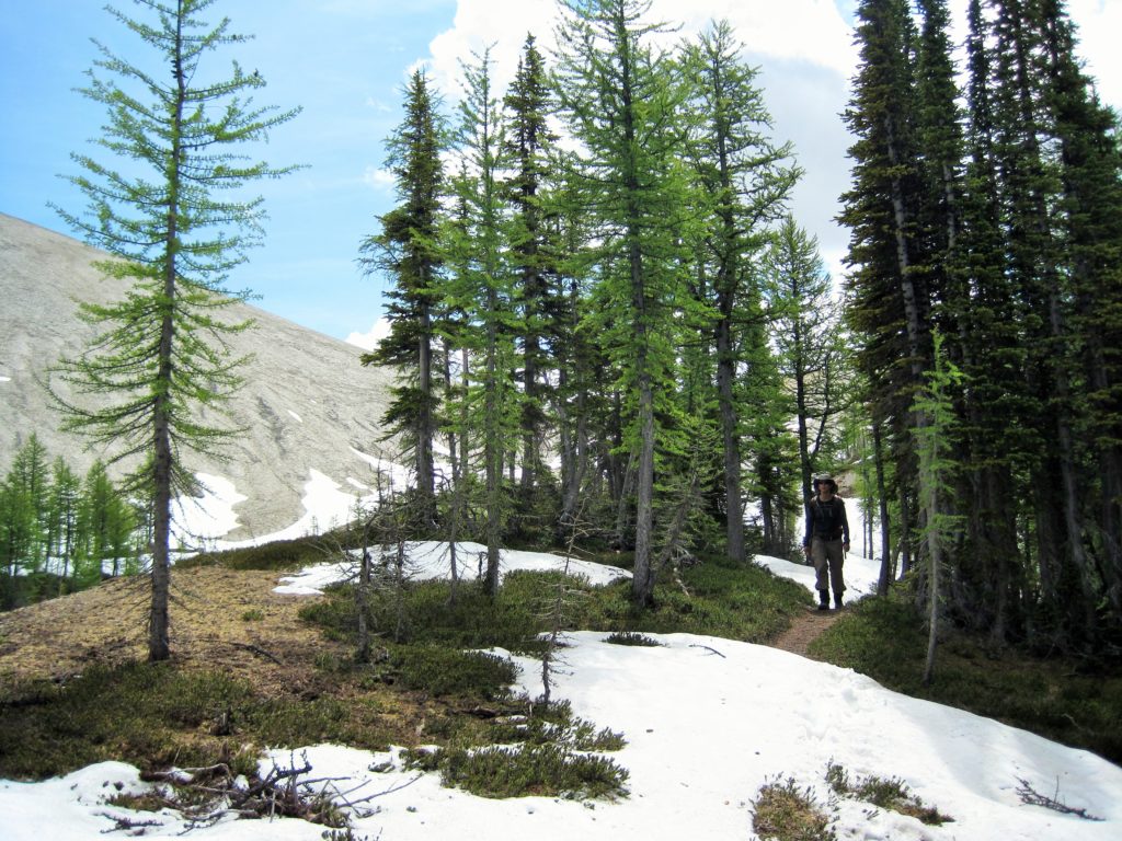
The trail weaved in and out of trees and back and forth from snow to dirt. The snow was never very deep. We passed several people who were going up. One diminutive lady was quietly hauling a pack that must have extended at least a foot over her head, or at least, that is how I remember it.
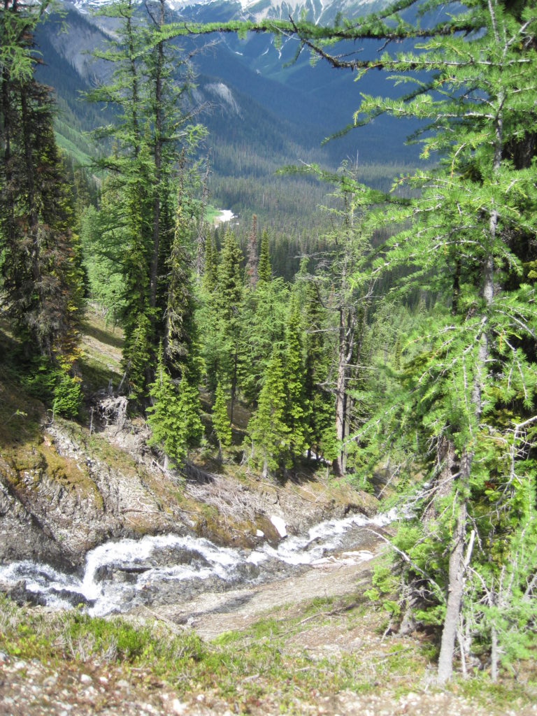
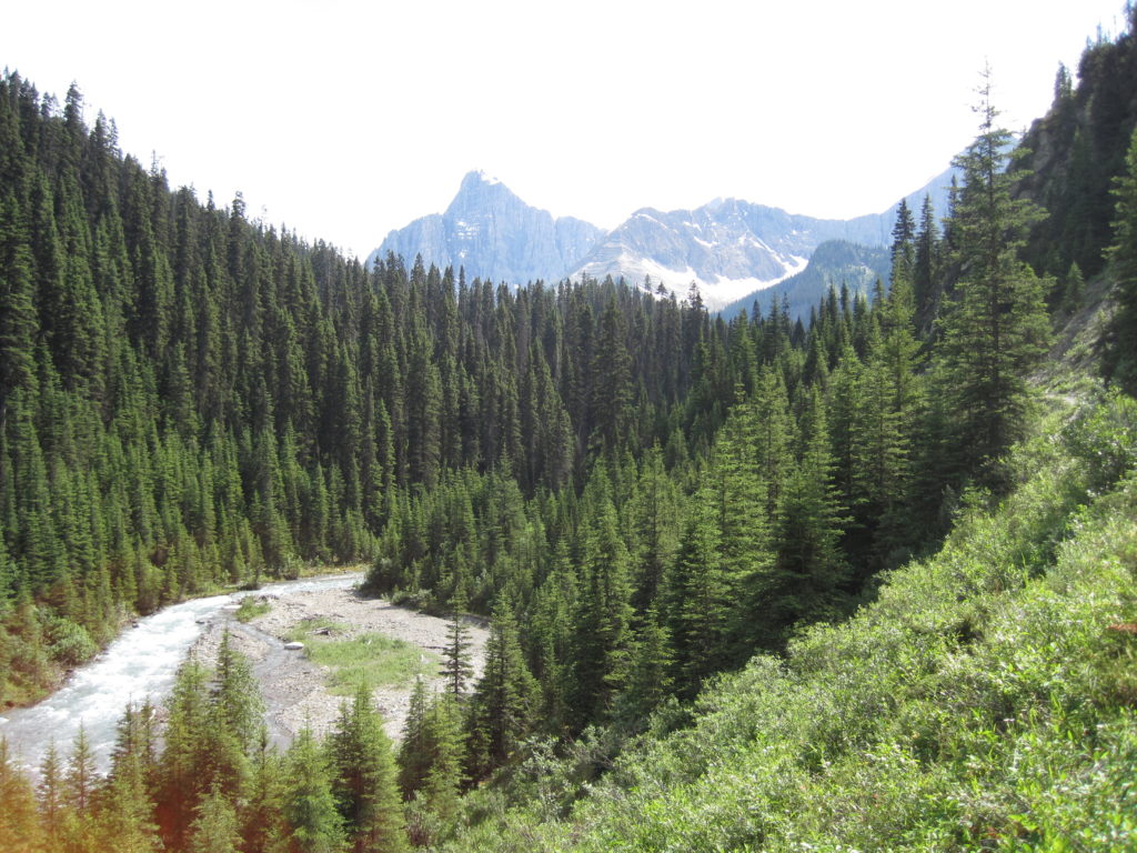
We switch backed down a steep slope and found ourselves in the bottom of the valley, with lovely waterfalls tumbling over the cliffs behind us.

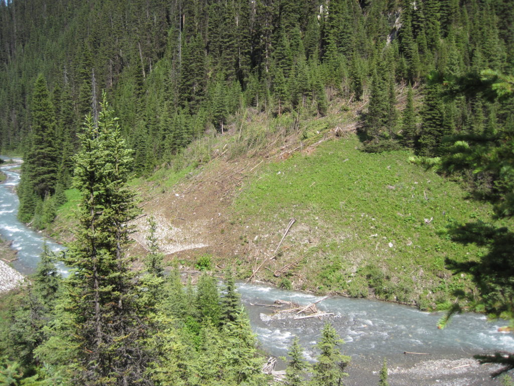
The valley floor presented a new challenge, avalanche debris. Seeing trees snapped off and piled up like firewood gives you a good idea of the strength and power of an avalanche. We lost quite a bit of time finding our way around the piles of trees left by the avalanches.

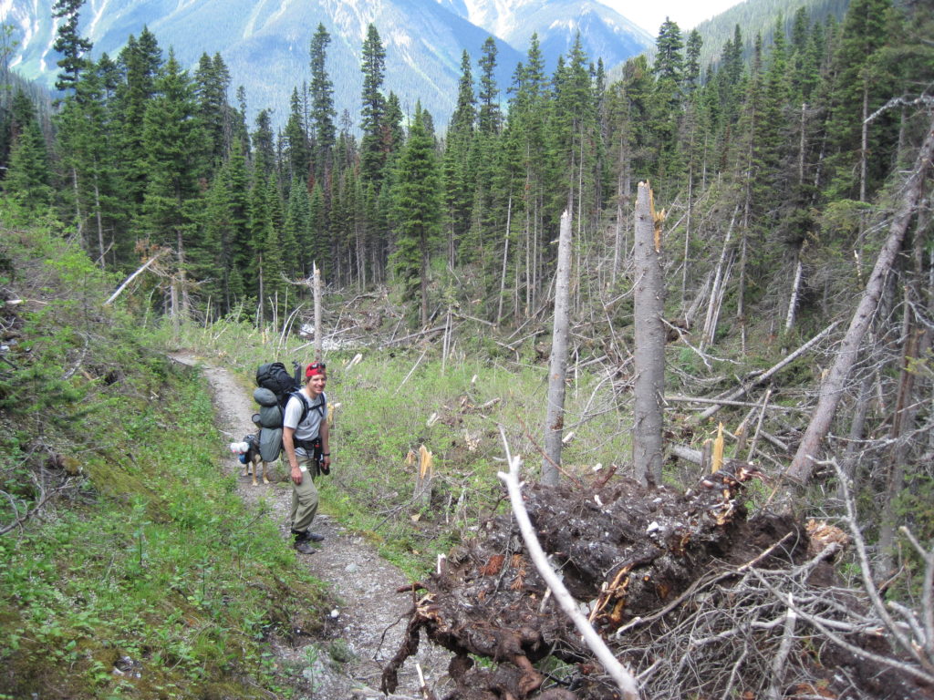
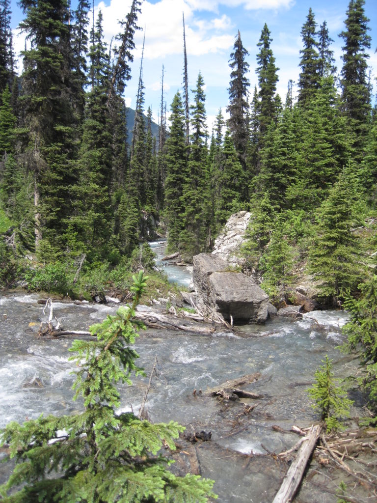
We arrived at Numa Creek 2 hrs 40 min after going over Numa Pass, a distance of 6.8 km and an elevation loss of 800 m.
We did not stay long at Numa Creek; camping there would be difficult without ear plugs, as the noise of the river was tremendous, Numa Creek is truly thunderous.
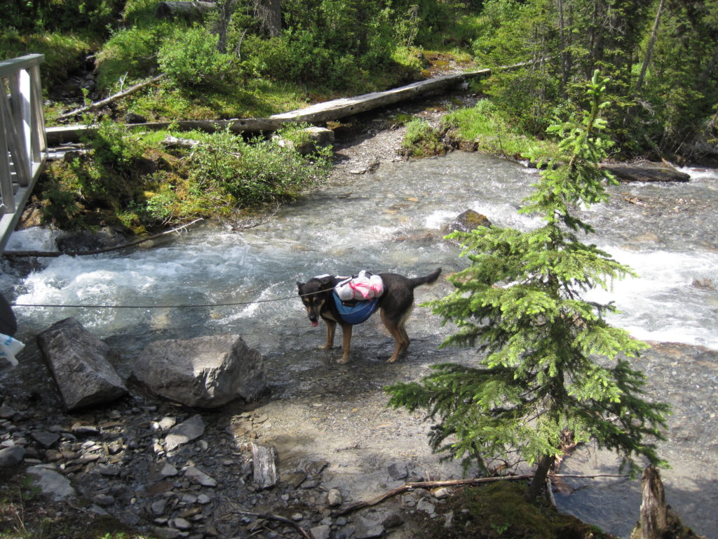
Links took the opportunity of a creek crossing to cool off. We then started off on the last leg of our journey. The hike to the parking lot is 6.9 km, with just 155 m of elevation loss. The trail traverses along the north side of Numa Creek for most of the way. Part way along, we came across the furry remains of a deer kill. There were a few bones and fur everywhere. To ward off any animals nearby, I took to yelling “Yo, bear” for the remainder of the hike.
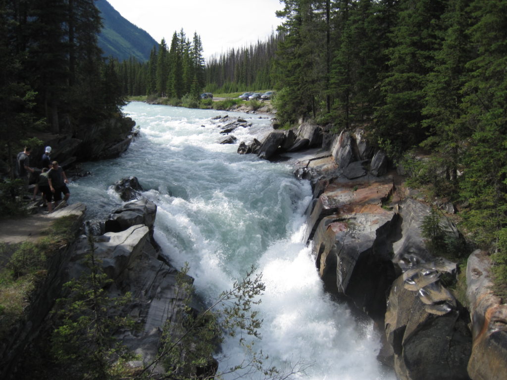

It took 2 hrs and 20 min to arrive at the parking lot. It was 4:15 pm. All three of us were very tired. I had to hitchhike back to Floe Lake parking lot to get the car. I remember it being pretty easy to get a ride.
It was an amazing first trip into the backcountry of the Canadian Rockies. We were all very happy to arrive back home. From what I remember, Links was pretty content to sleep on his couch for the next two days, it was a tough couple of days.
