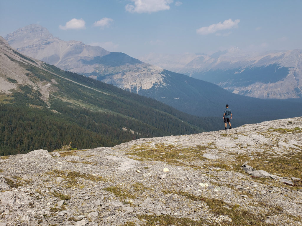
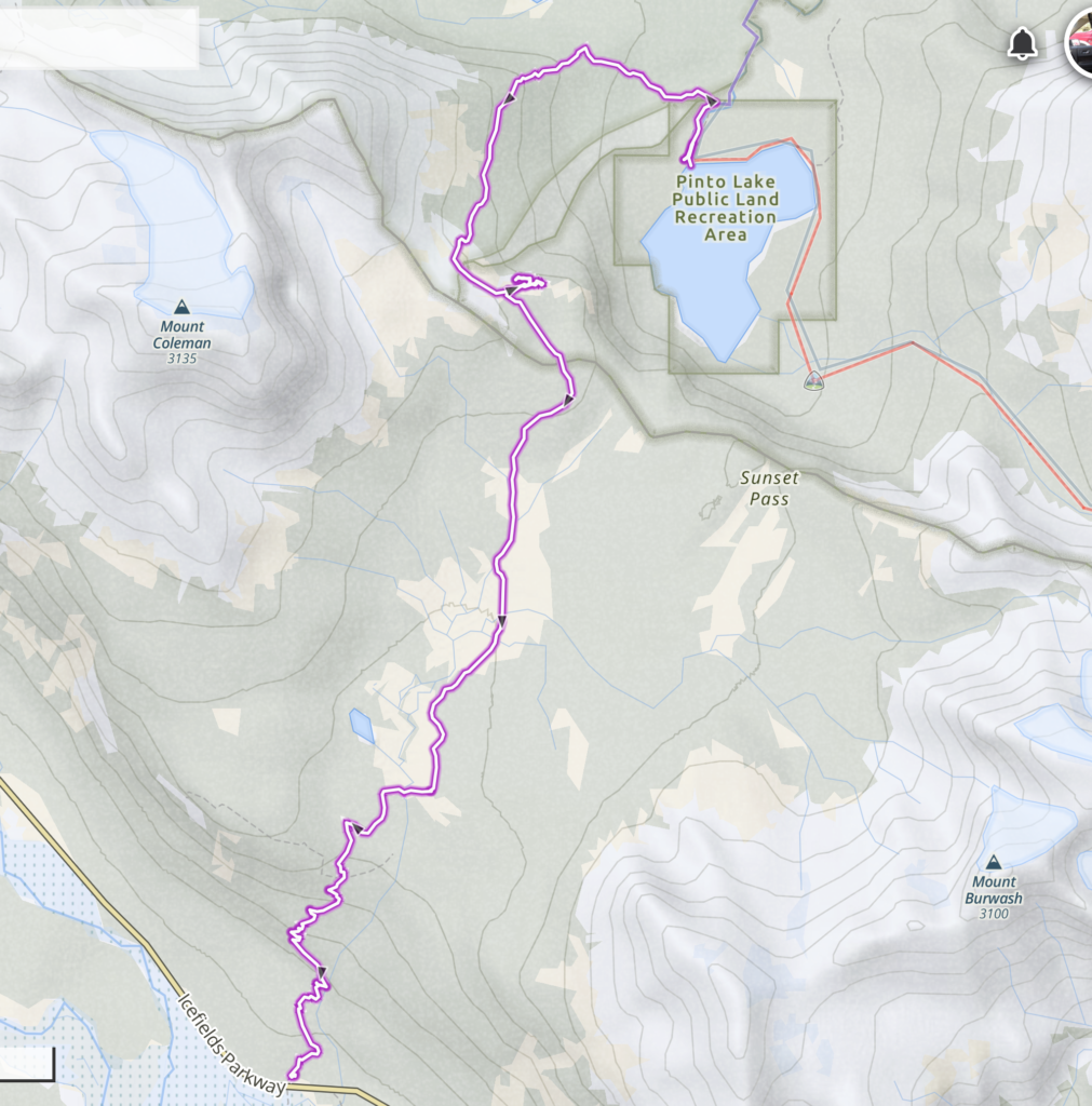
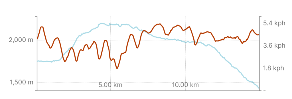
August 21, 2023, distance 14.2 m, 418 m elevation gain, 792 m elevation loss, 5hrs 21 min.

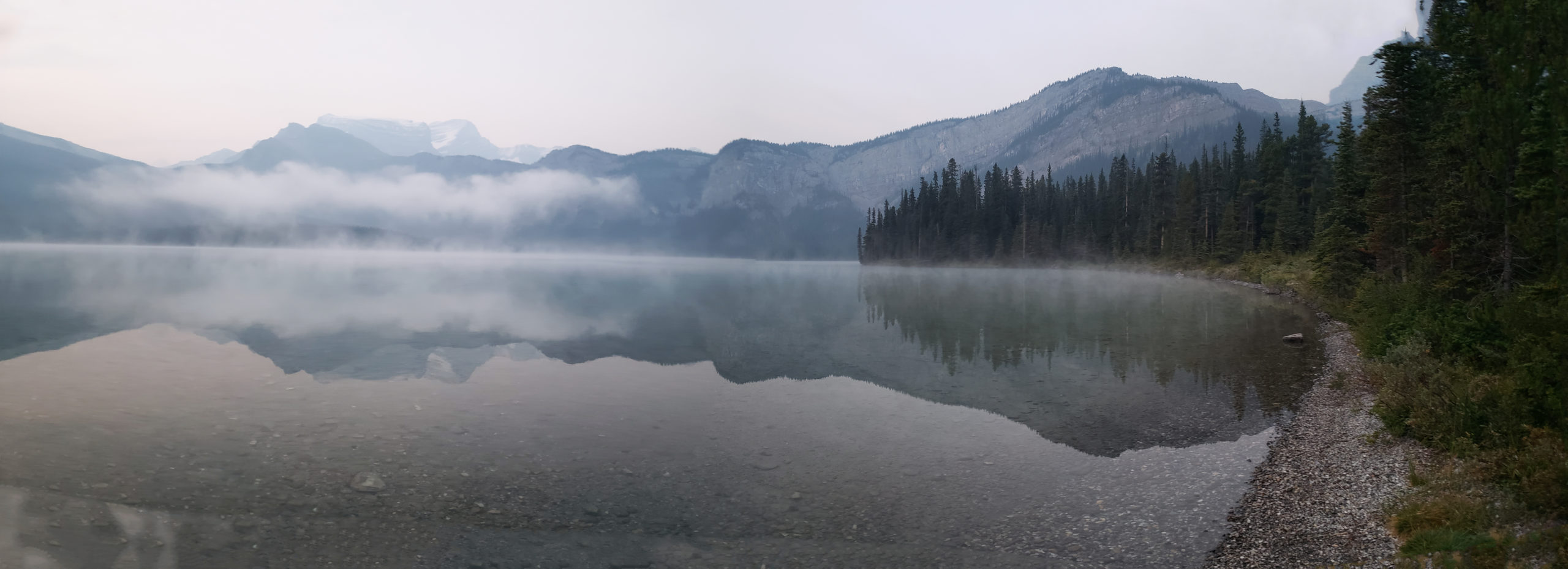
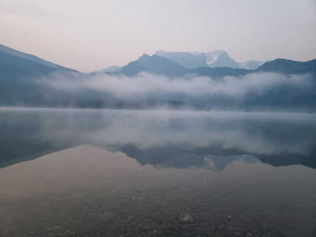
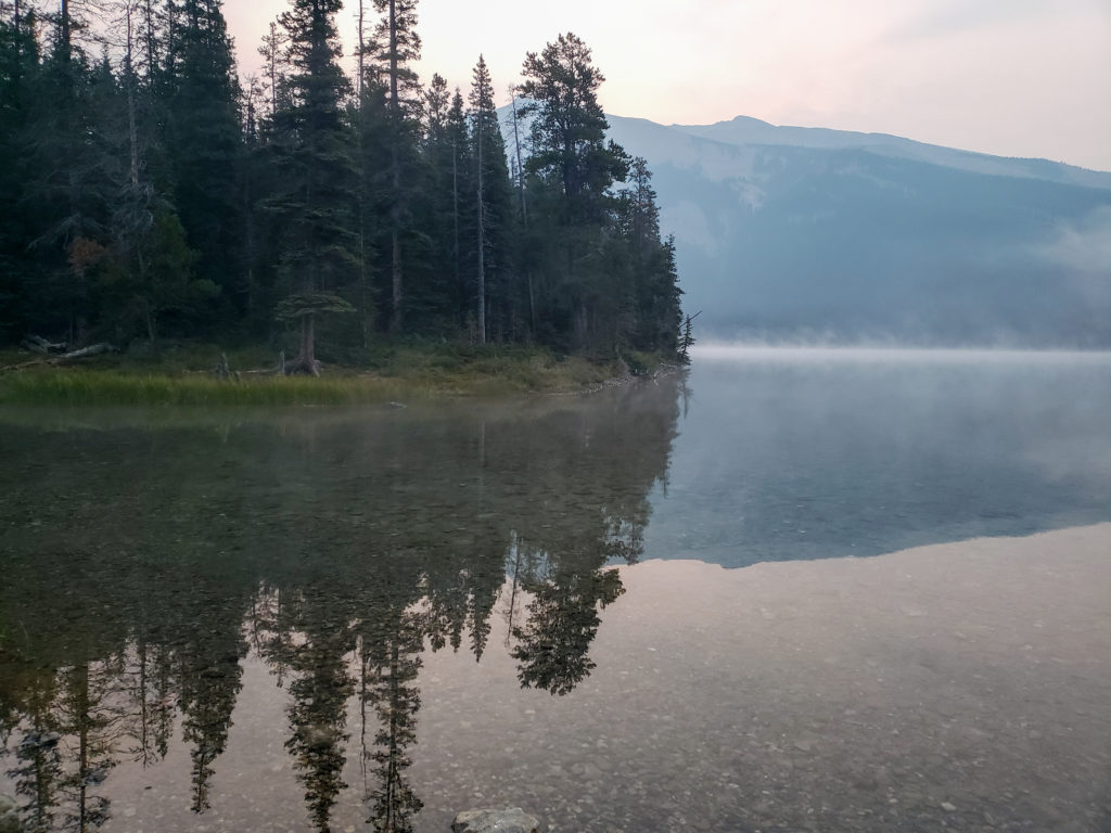
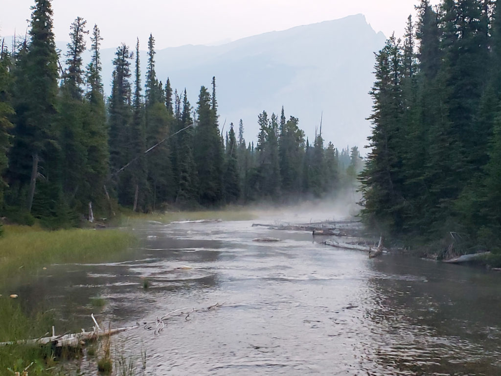
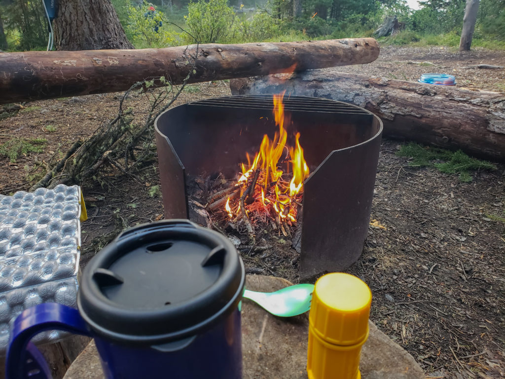
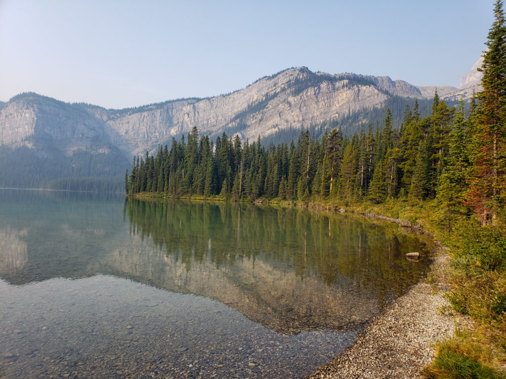
As was typical I was up early so I quietly snuck out of the tent and was at lakeside by 6:30 am snapping photos and revelling in the peace and tranquility of the morning. People slowly starting emerging from their tents around 7 am. The entertainment for the morning was watching Siobhan and Charlie get ready for their big day. They were both up by 7 am but did not hit the trail until close to 9 am. Part of the blame can be put on Ken since he got a fire going and on a chilly morning it was unreasonable to expect anyone to willingly leave the warmth of a fire. The fire had the same impact on the two GDT hikers. Both hikers had big days but admitted it was hard to get motivated to head out on the trail while sitting next to the fire. Sometimes Ken is not so helpful even when he tries 🙂
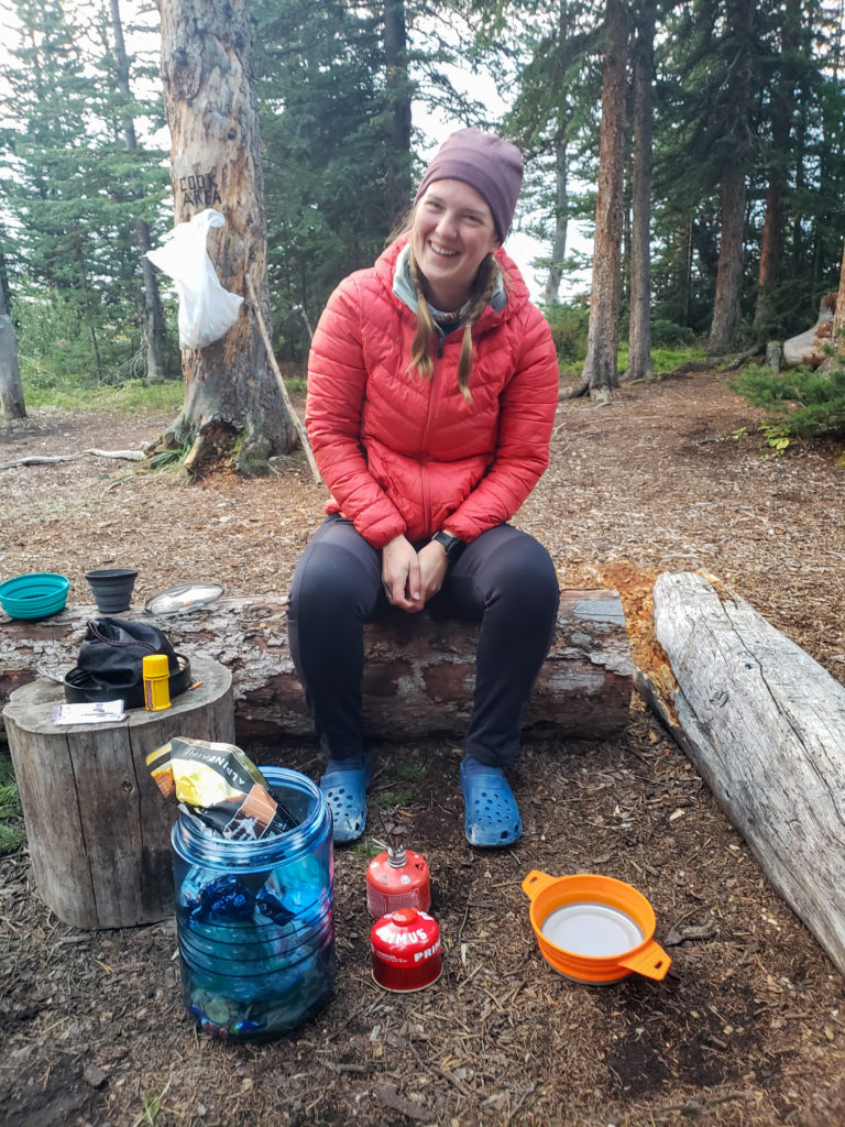
My original plan for the trip was had been for three days with the trip being a point to point exiting at Owen Creek. With the smoke floating around there was not a lot enthusiasm for three days so we cut it to just two. Siobhan was keen to hike the original route as I had raved about how stunning Michelle Lakes was and Siobhan wanted to see it for herself. Luckily her friend Charlie was also up for an epic adventure. Neither Ken or I felt we had the fitness to follow Siobhan. Kylie who had the fitness and sense of adventure necessary for an epic adventure had pulled a calf muscle running during the week also did not feel up to accompanying Siobhan. So we naturally fell into two groups one heading back the way we came and one for an epic adventure. At the end of the day both groups were very happy with their decisions.
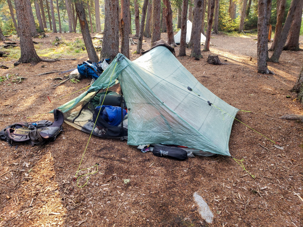
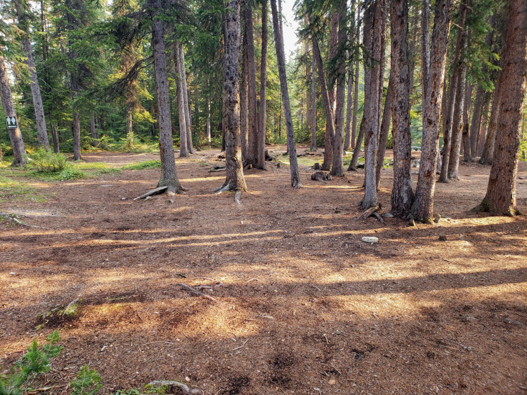
Once out of camp we headed quickly down the the trail but for reasons I cannot remember now I had to do an about face and head back quickly to the campground thinking I had forgotten something. I quickly returned and we proceeded back down the trail.
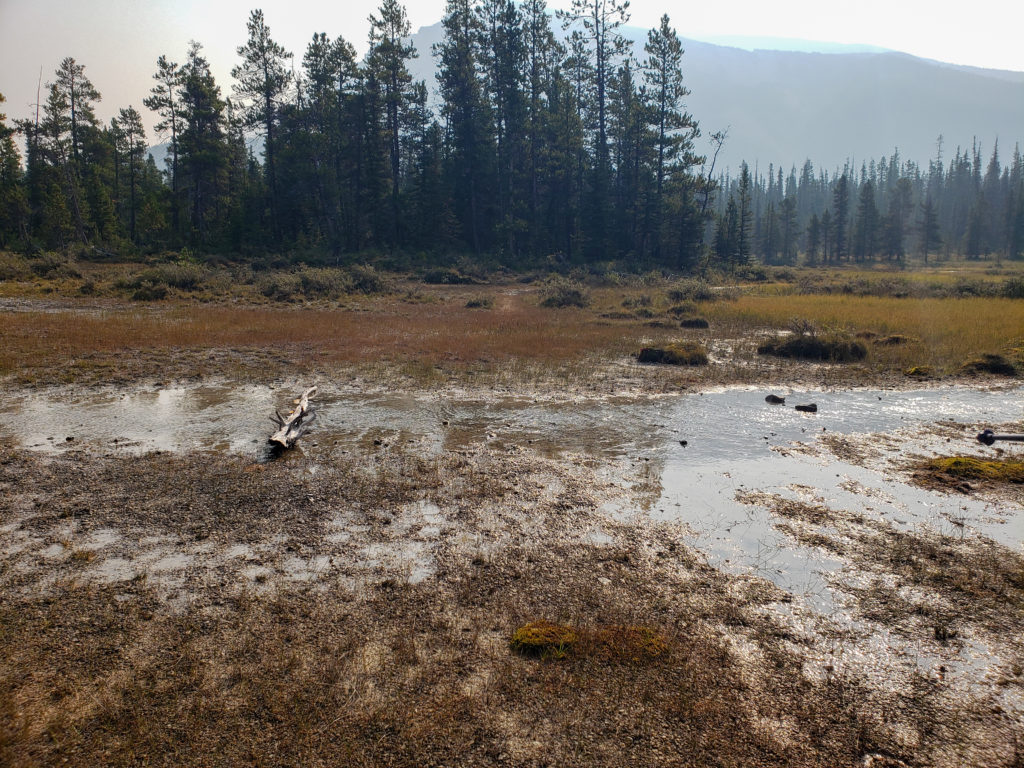
Once on the trail we let Kylie set the pace with me in the middle and Ken taking up position as the caboose of our little train. This may have been a little mistake on the part of Ken and I, as we are old and slowing down while Kylie may have had a sore calf but is in much better shape than either of us old guys. We literally flew up the trail through the forest gaining elevation quickly. Kylie and I chatted as we hiked but the longer we hiked the less I chatted switching to asking questions and letting her answer in an effort to conserve my breath for my tiring muscles. Just as I was seriously considering “tapping out” and asking Kylie to take a break the trail both flattened out and arrived at an avalanche slope providing us our first open views of the day and a natural spot to pause and do some recovery. We had hiked 3 km in one hour and had gained 325 m of elevation most of which was in the last 1.5 km.
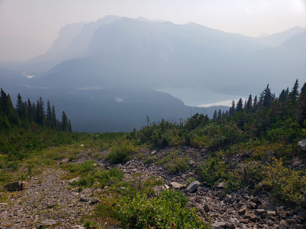
Typically when Ken and I hike we do actually move pretty quick down the trail. Our pattern is hustle down the trail, stop and either look at a bird (Ken) or take a photo (me). This pattern is what gave each of us our trail names, Chirp (Ken) and Shutterbug (me). The challenge we faced on this trip is that neither us had a good summer on the fitness front so we were not up to our usual level. Later when reflecting on the the trip I told Ken that I had considered “tapping out”. Ken responded that up until that point he was impressed with my fitness as I was keeping up with Kylie while he was fading away. Ken was quite pleased to find out that I was actually in suffer mode. With the majority of the elevation behind us the rest of the hike may have been fast but also very enjoyable. Really a little suffering on trail is good for the soul.
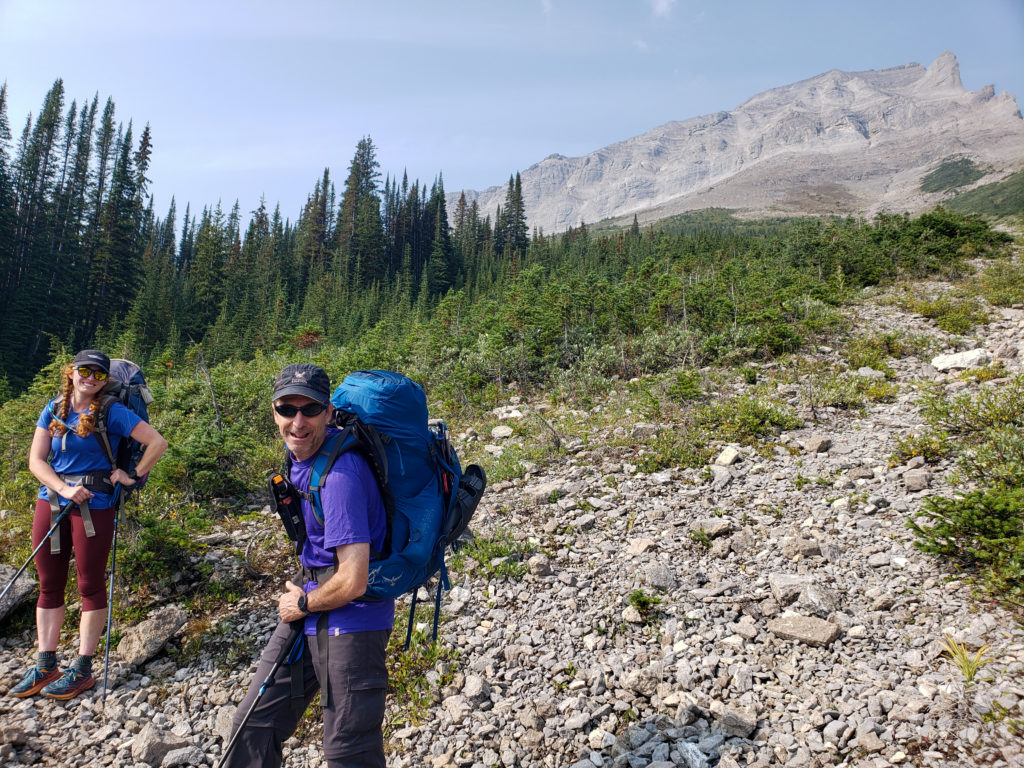
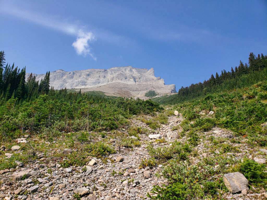
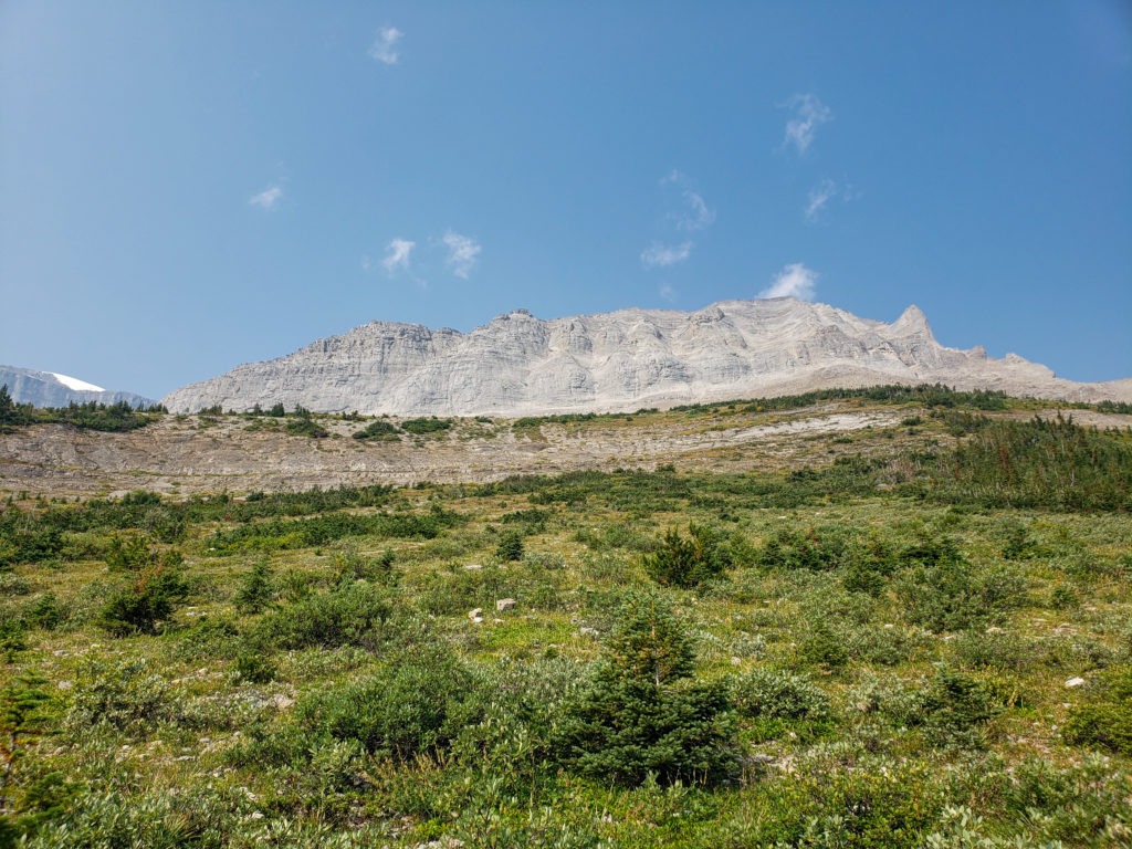
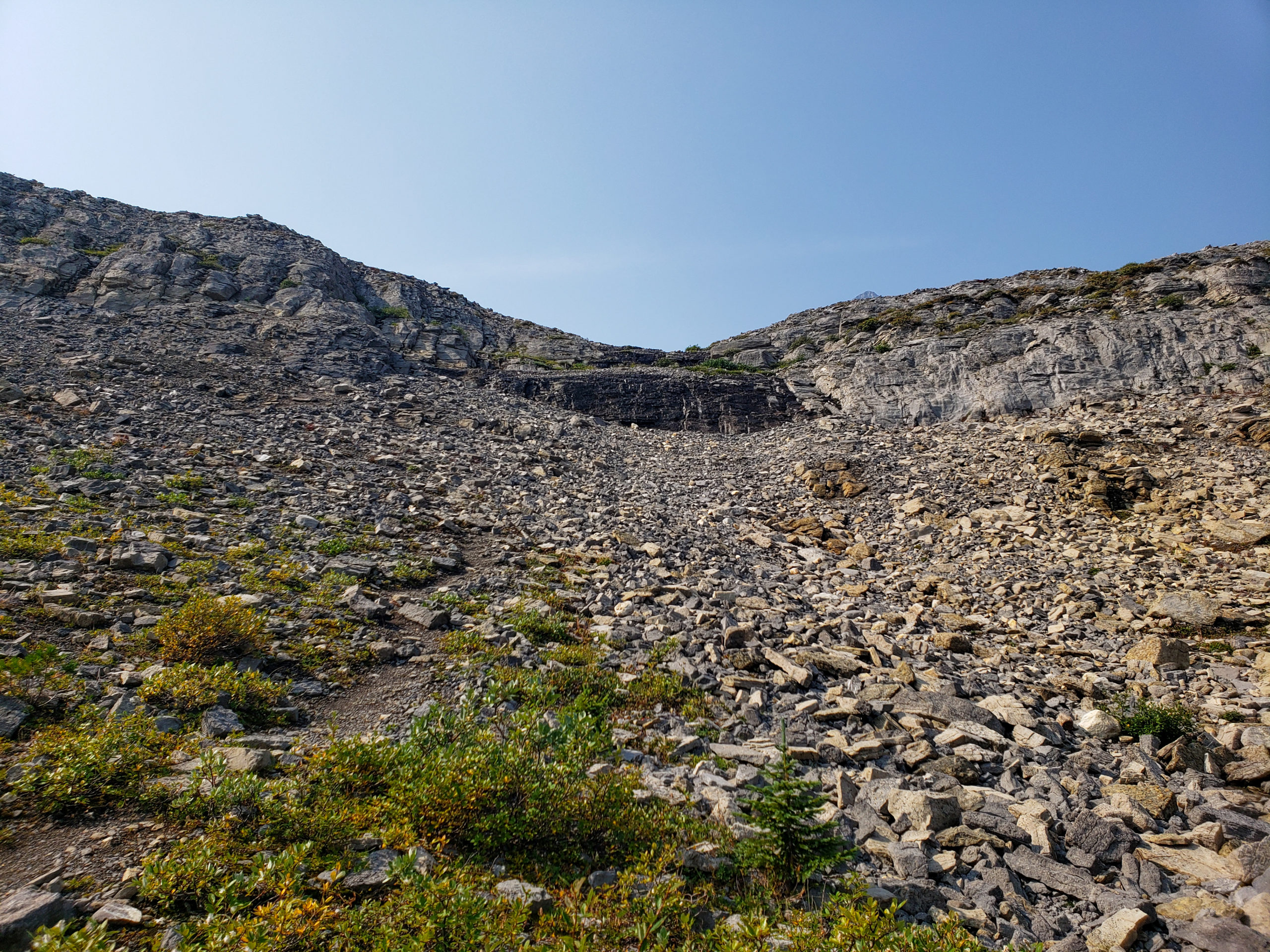
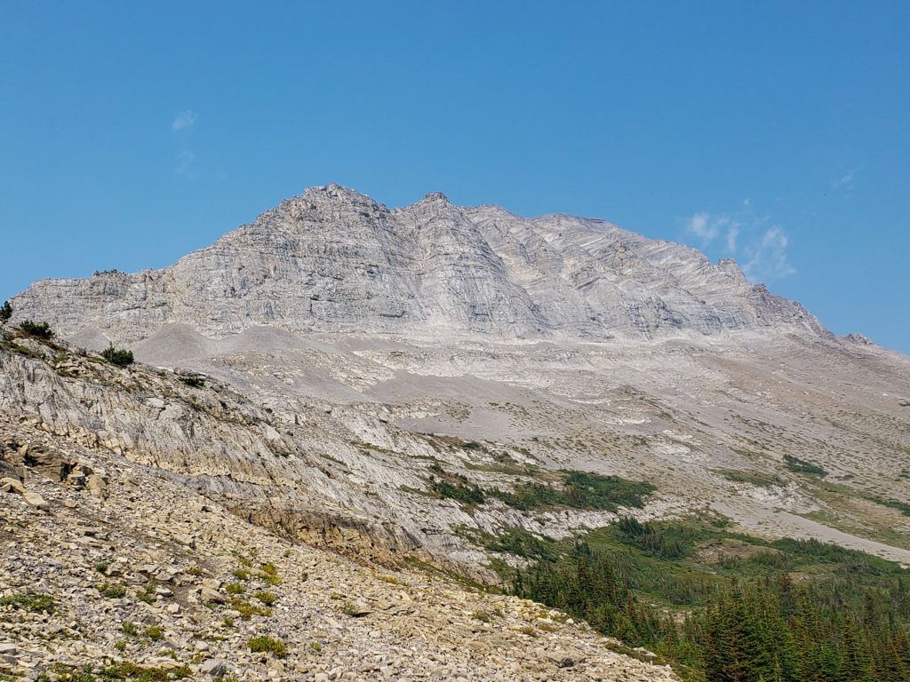
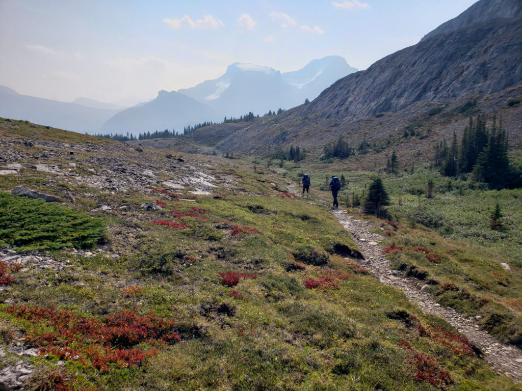
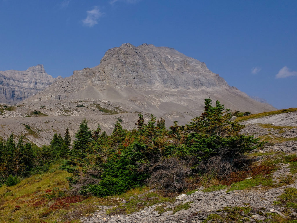
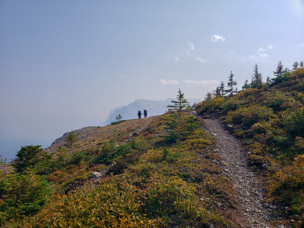
We stopped for lunch at 12 noon. We had hiked a little over 5 km and had reached our high point for the day. As we were really in no rush we had a relaxing 40 min lunch looking out across the high alpine landscape complete with non stop conversation.
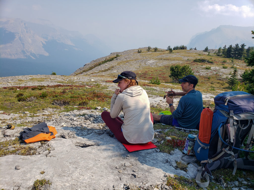
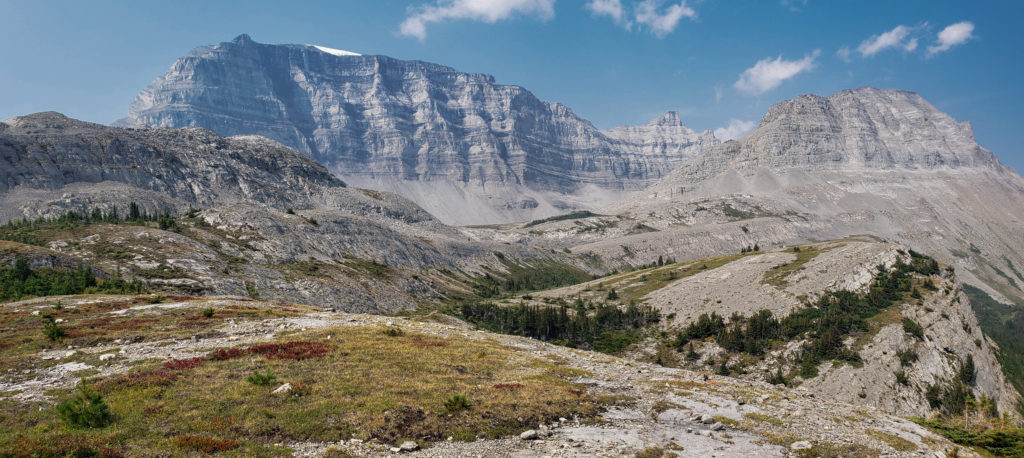
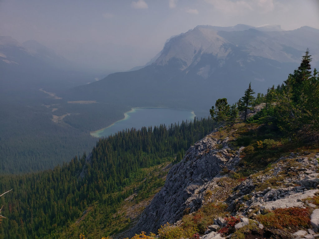

Since we were in no rush after lunch we spent a good 40 minutes trying to find the route to Pinto Lake that was displayed on our apps. We looked really hard and never saw a rope as was mentioned in some descriptions and the best we could do is find a drainage over a cliff that matched up with the apps. Could not see a trail into the trees leading to Pinto Lake so the evidence is telling us that the trail has long been unused.
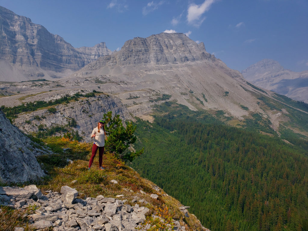
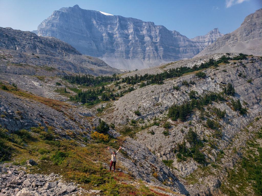
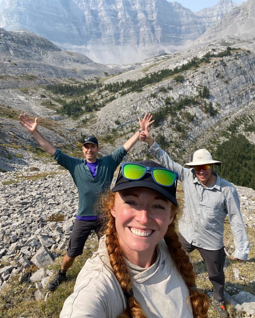
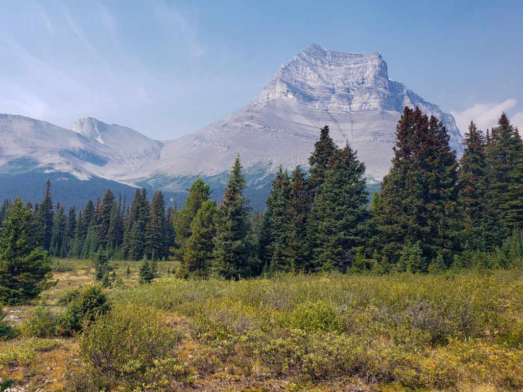
After leaving the cliffs the hike was just retracing our way back over the same trail as yesterday. We did have a little 15 minute break at Norman Creek Campground for snacks and to check out the biffy. We cruised easily down the “strenuous ascent” from yesterday. Sounds of Hwy 93 informed us that we were quickly approaching the car and the end of our super fun little trip out to Pinto Lake.
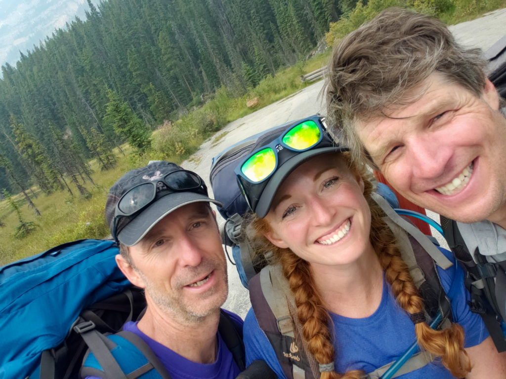
Even with our extended lunch and time spent looking for the phantom trail we finished the hike at 3:35 pm just a little over 5 hrs and 20 minutes since we left our campground at Pinto Lake.
While we back to our car our adventure wasn’t over yet. We stopped at Saskatchewan Crossing for treats and to my horror I discovered that they had no Coke. I was quite put off but did settle on an ice cream instead. The lack of a Coke necessitated a stop at Castle Mountain Chalets on our way home. With my Coke in hand it was a perfect way to end a fantastic trip out to a sweet little campground at Pinto Lake.
