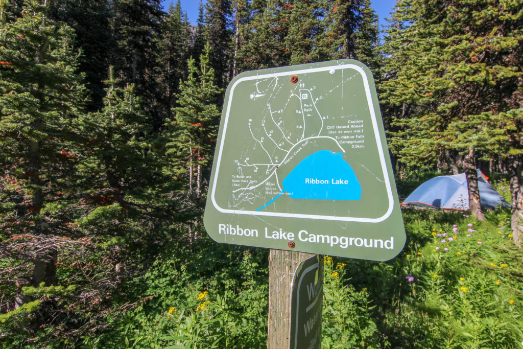
Day 2 Ribbon Lake Campground to Kananaskis Village 17.8 km 309 m Elevation Gain, 945m Elevation Loss, 5 hrs 57 min.
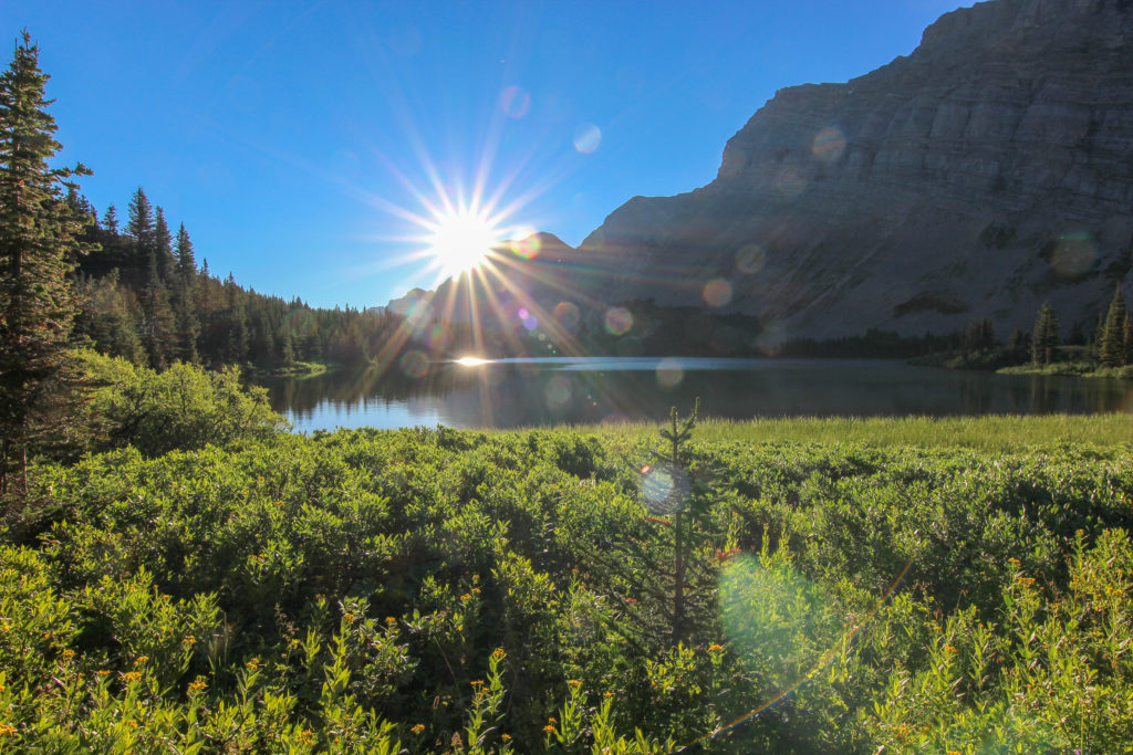
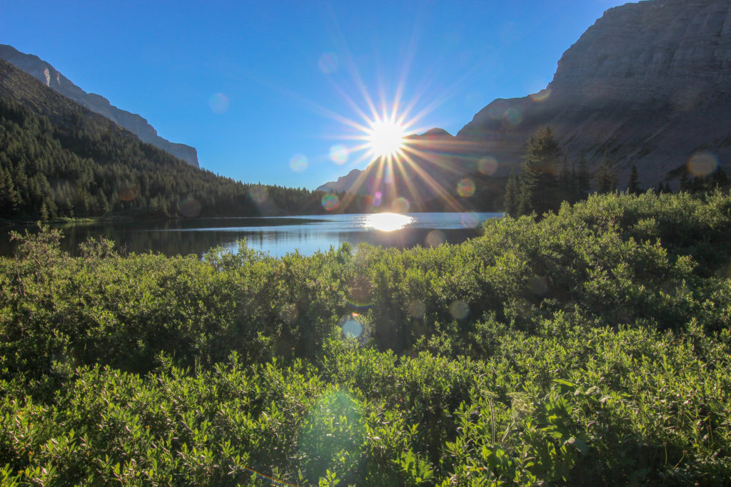
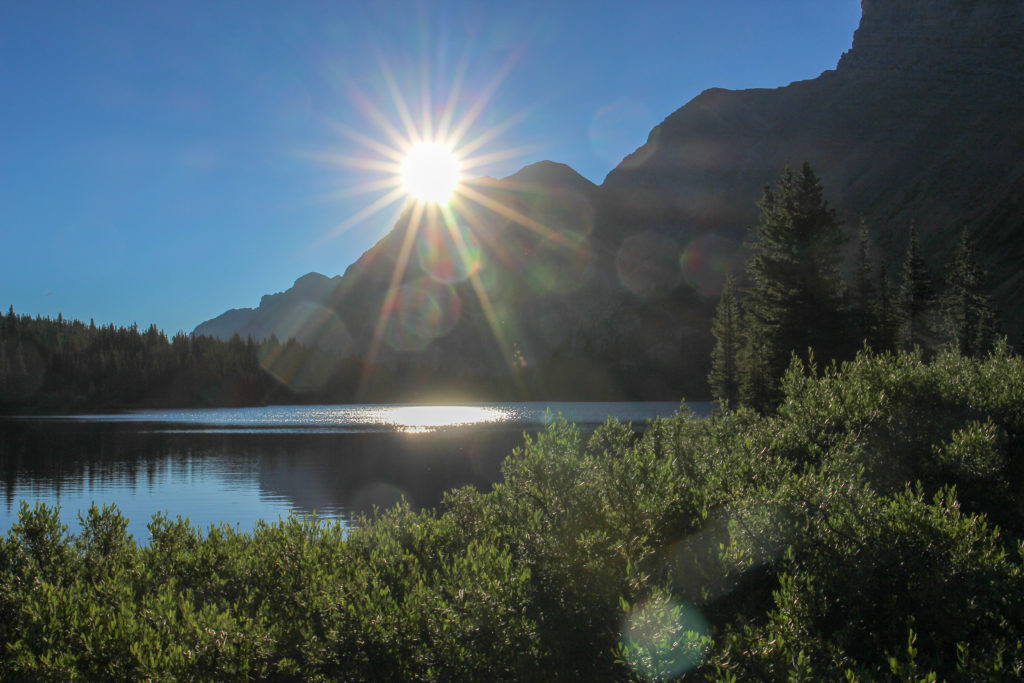
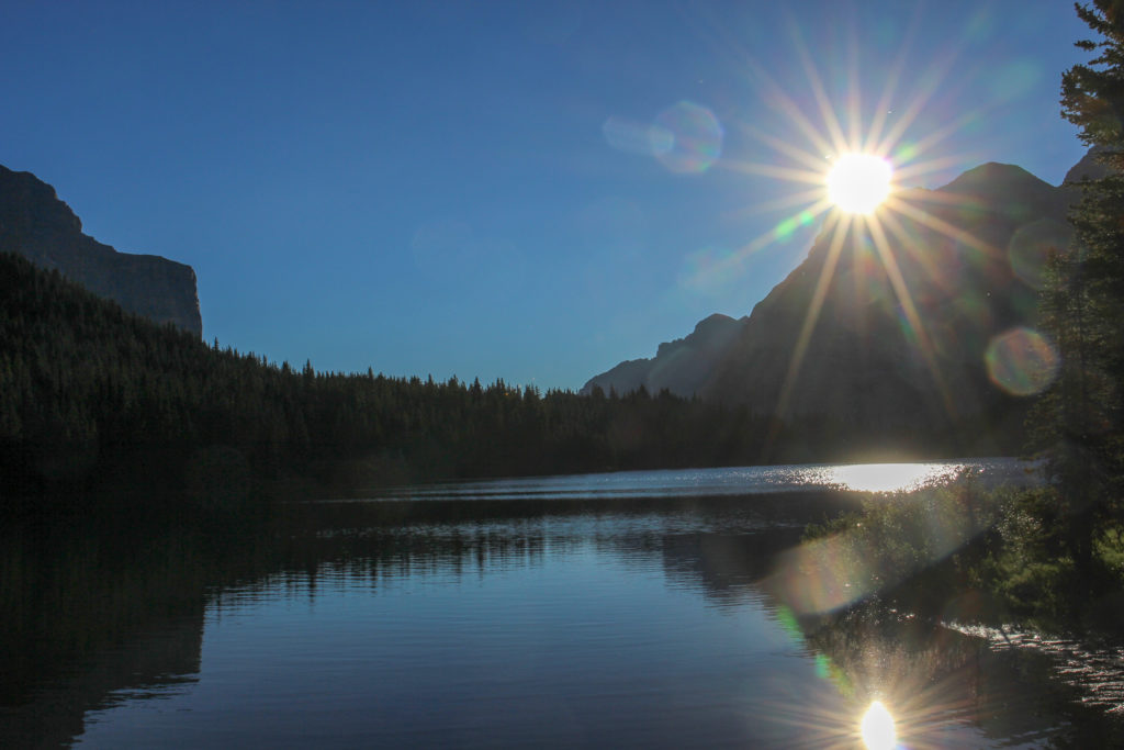
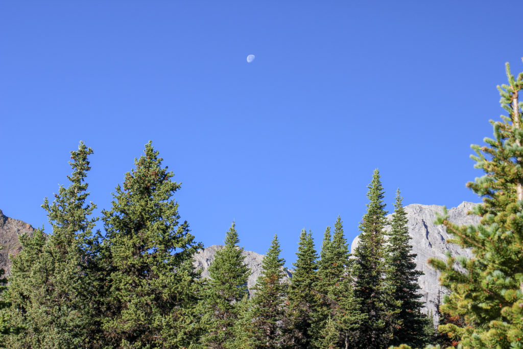
The clearing skies of the previous evening paved the way to a brilliant blue sky morning. Got out of bed just after 7am to photograph the sunrise and was not disappointed. The sun rose spectacularly over Ribbon Lake and high in the western sky a 3/4 moos was still visible.
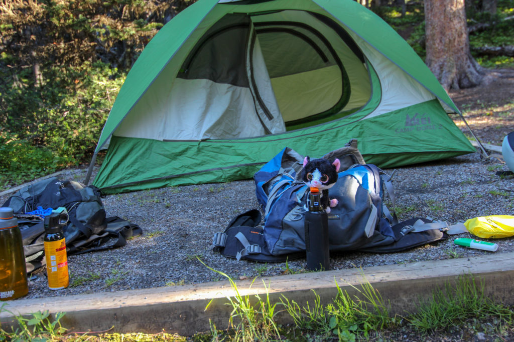
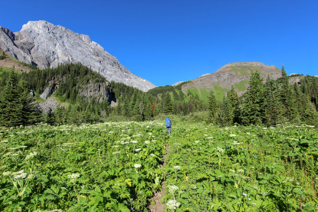
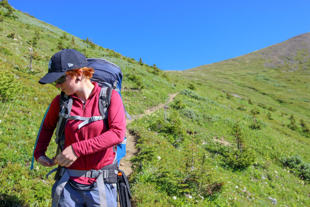
We packed up the site slowly. We were in no rush as we had all day to complete the 17 km hike back to the car. We had the tent packed up and were ready to go at 8:55 am.
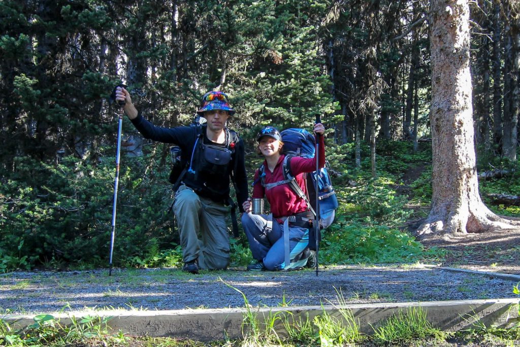
We headed of in the bright sunshine. Our plan was to head out of the valley over Guinns Pass. There are two main ways to access Ribbon Lake, from the east as we did up Ribbon Creek and chains or from the west coming over South Buller Pass. We followed the trail that heads to Buller Pass as we left the campground.
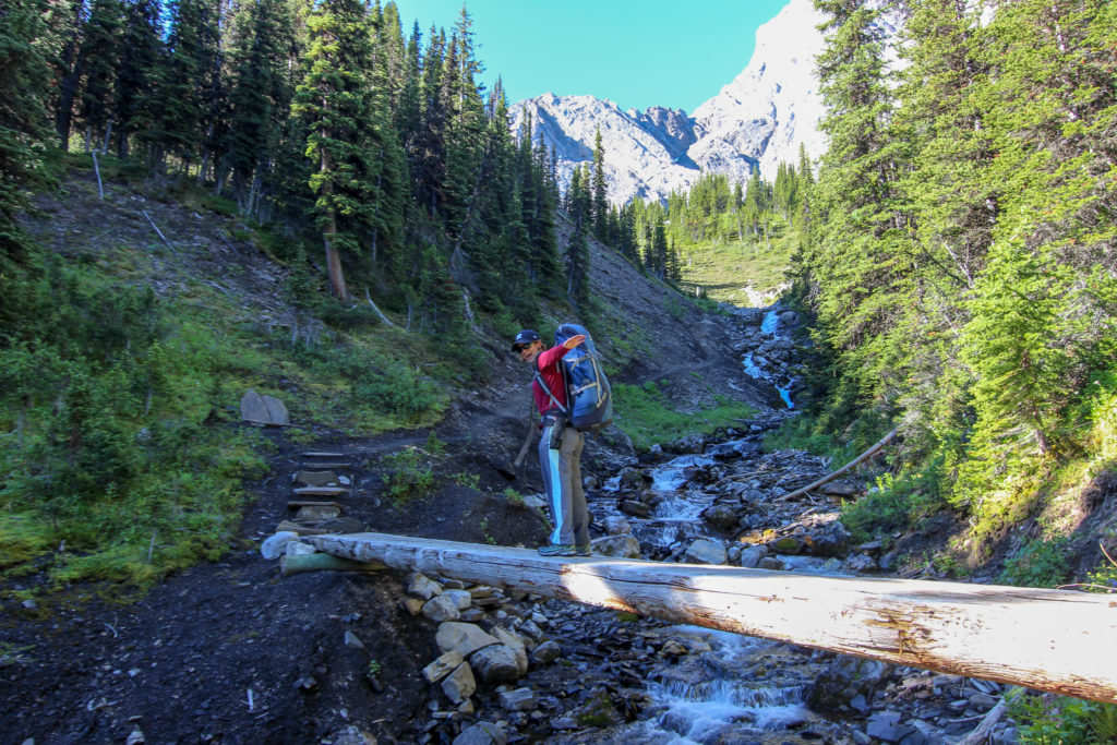
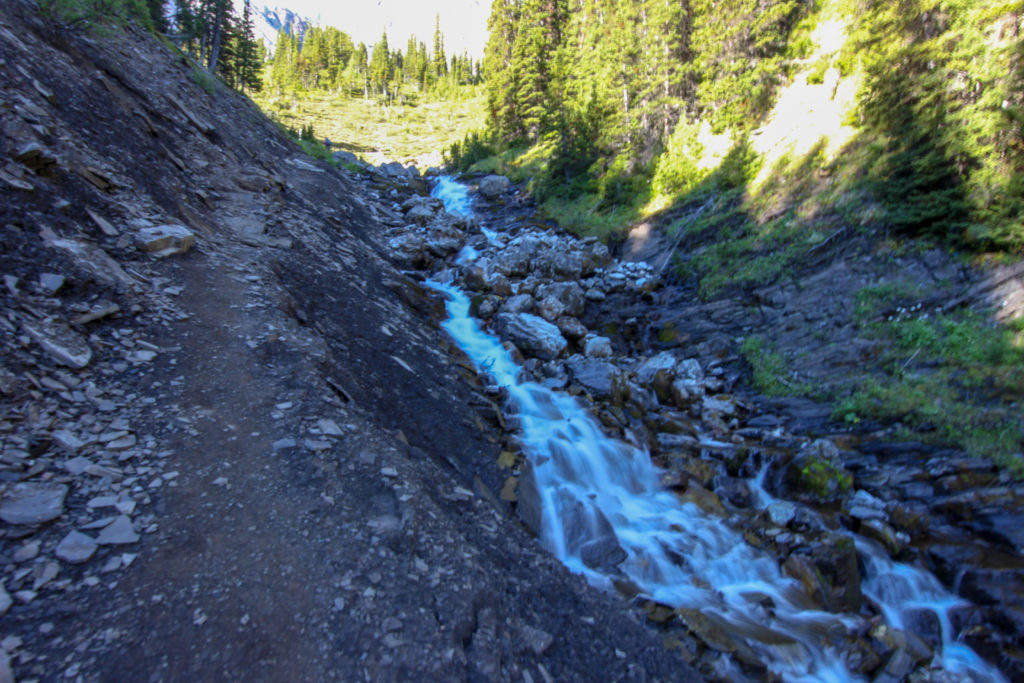
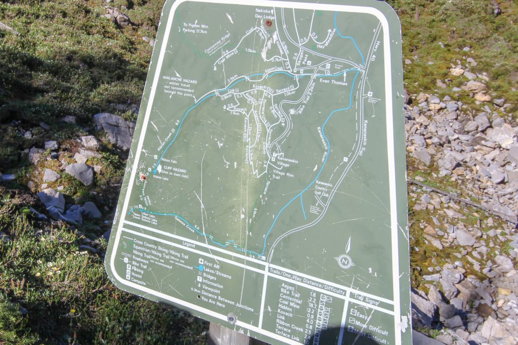
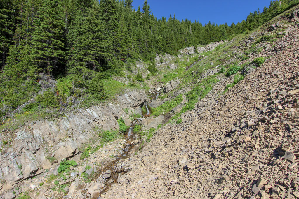
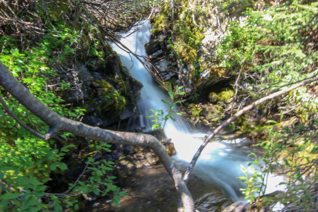
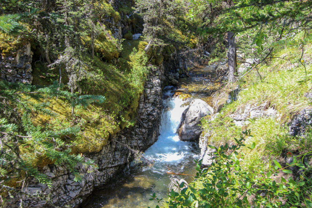
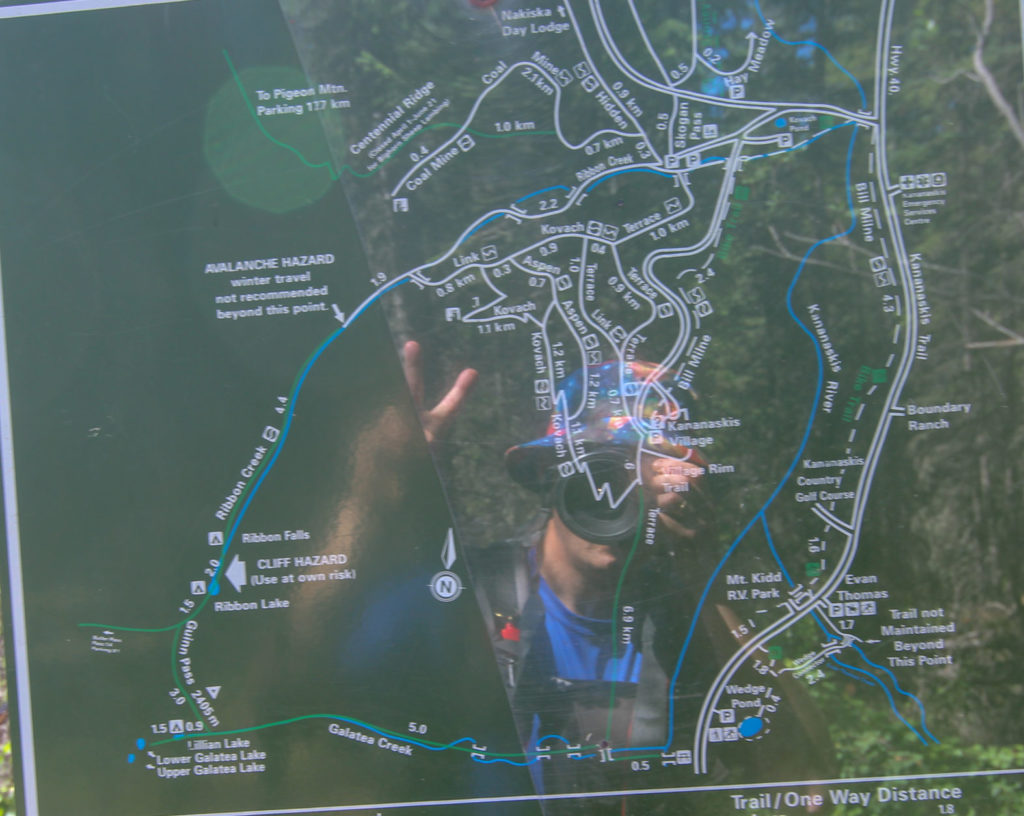
The hike started with a relatively flat first 2km. In just under 20 minutes we came to bridge crossing a small creek that had just tumbled its way down a small hill creating a pretty cascading waterfall. At the top of the hill was a trail junction. Heading right would take you to Buller pass, so we headed left towards Guinns Pass. Alberta Parks had a very nice metal map posted at the junction that very nicely displayed our entire route. Not a lot of topographical detail was shown but it was nice to see our entire route.
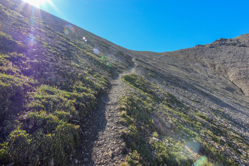
From the junction it is 1.2 km and 210 m of elevation to the top of Guinns Pass. The trail was very well defined and was a nice gradient as we started up the initial part of the climb.
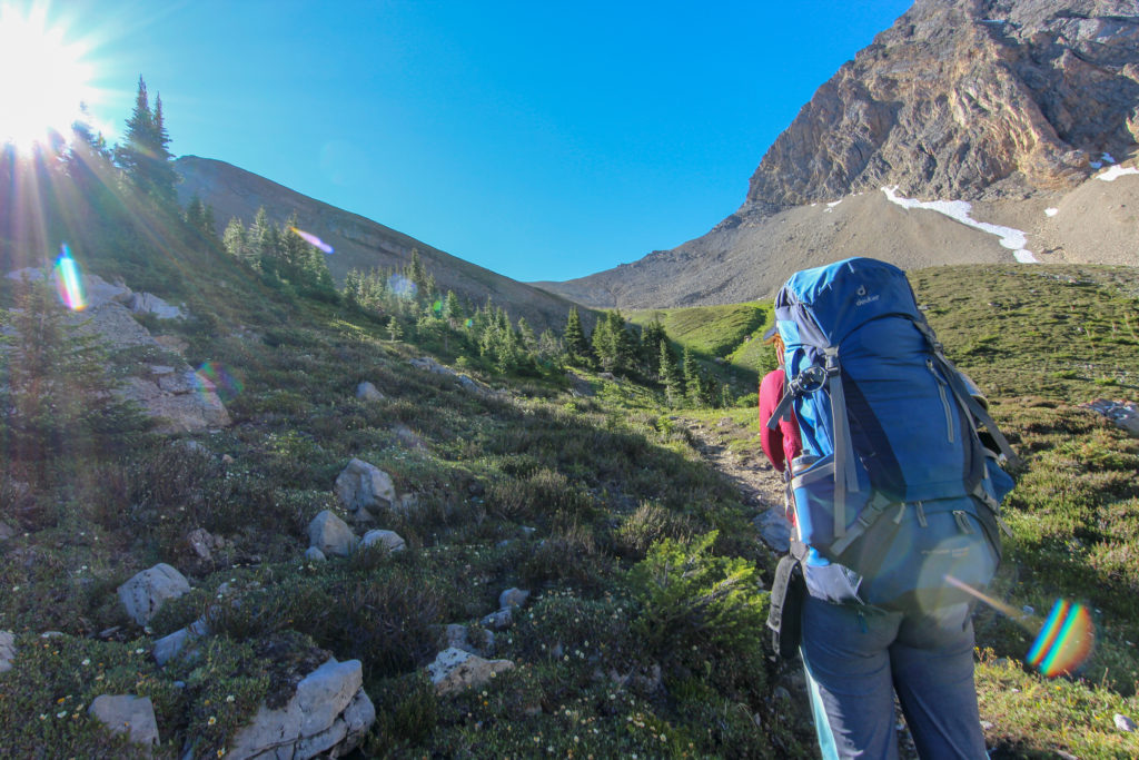
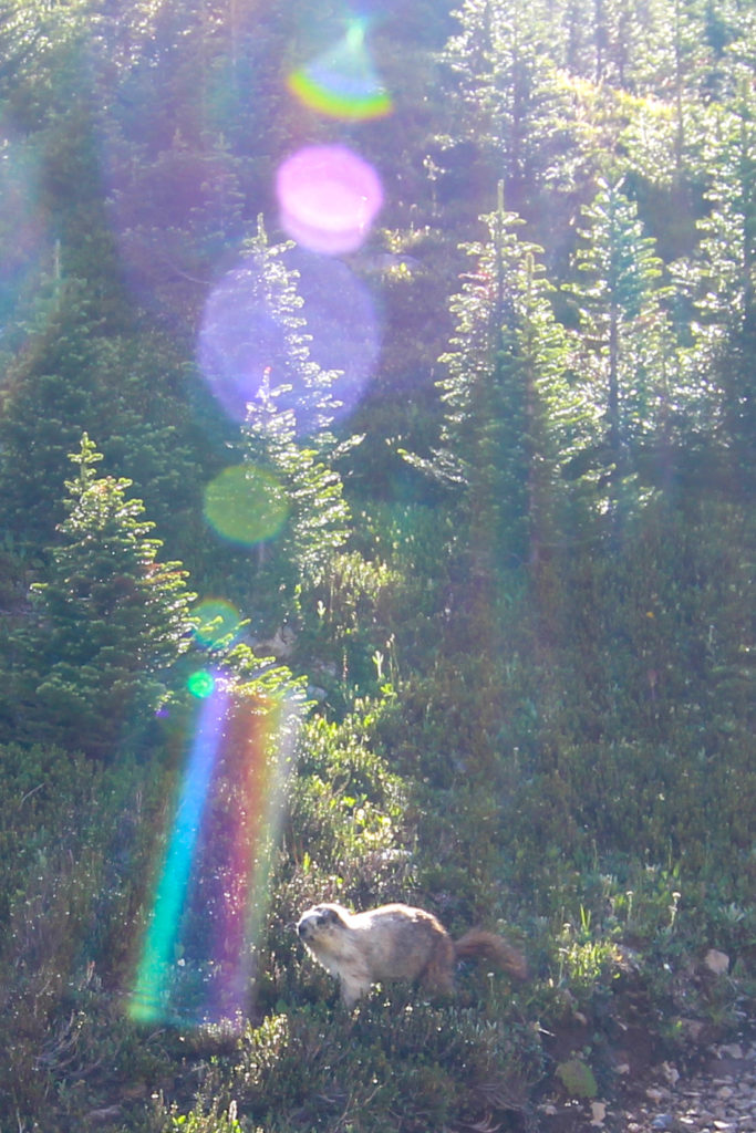
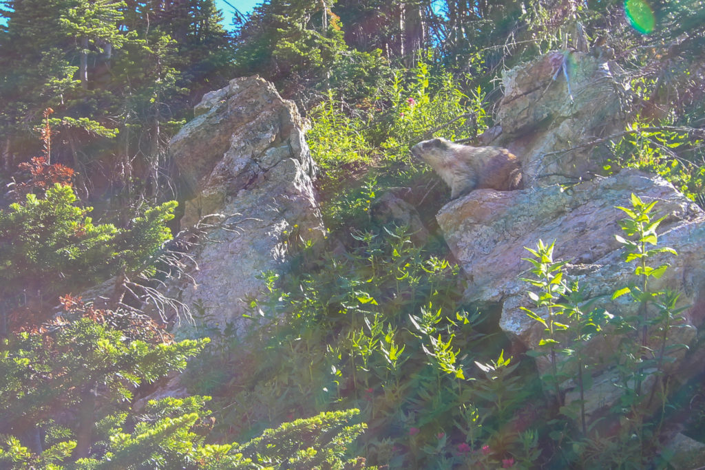
As we headed up towards the pass the vegetation thinned and offered us 360 degree views. A small grove of trees offered some entertainment as we were escorted for a few hundred metres by an enthusiastic marmot who wanted to make sure it was clear that we were in their territory. My photos of the marmot span 3 minutes.
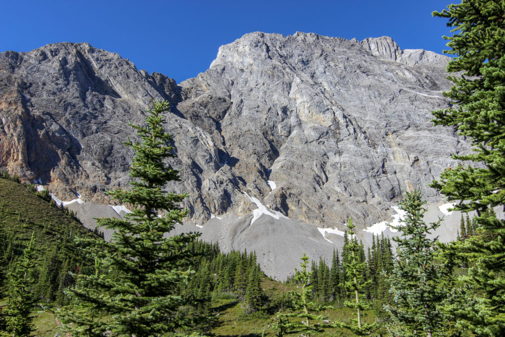
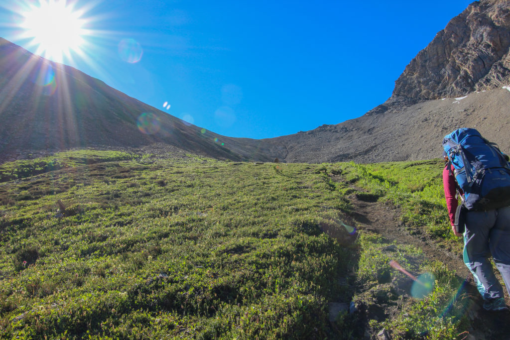
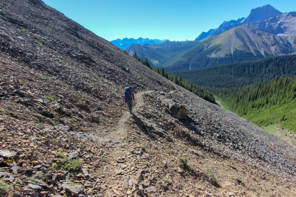
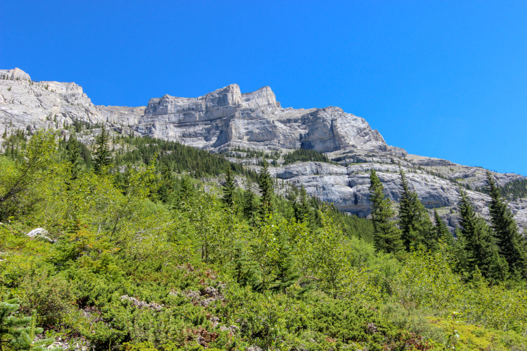
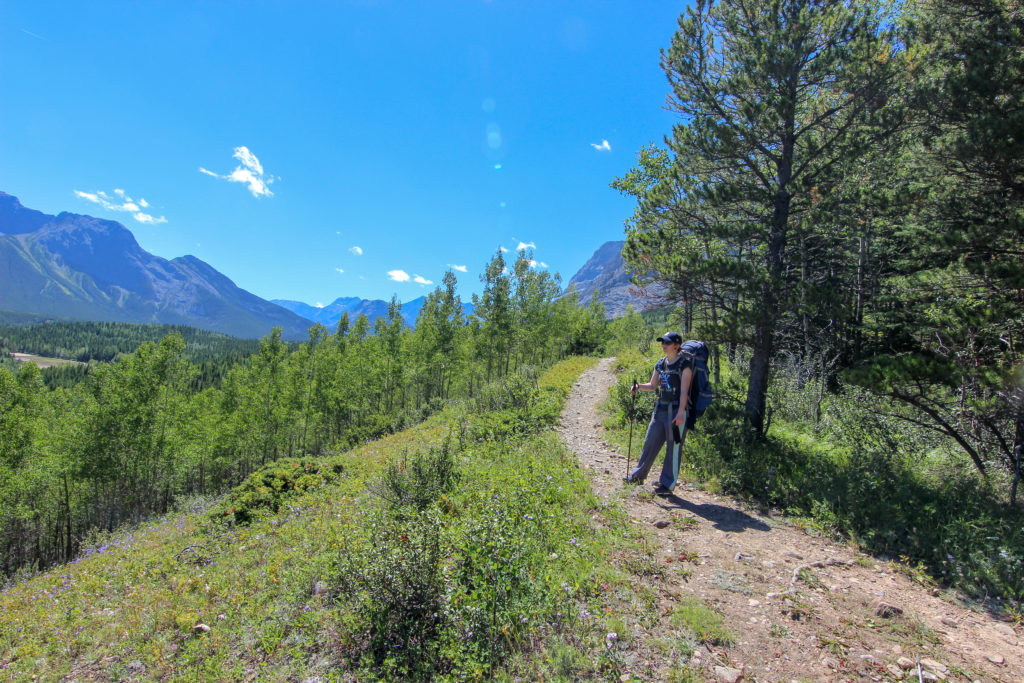
Shortly after leaving the marmot we passed through treeline. The path to Guinns Pass was laid out before us. The hike up to Guinns Pass was very pleasant. Going up in the early morning kept the temperatures cool and with switchbacks the trail had a nice steady gradient. We arrived at Guinns Pass at 10:00am, just 1hr and 5min since leaving camp covering 2.8km and rising 213m in elevation. Needless to say the views were stunning in all directions.
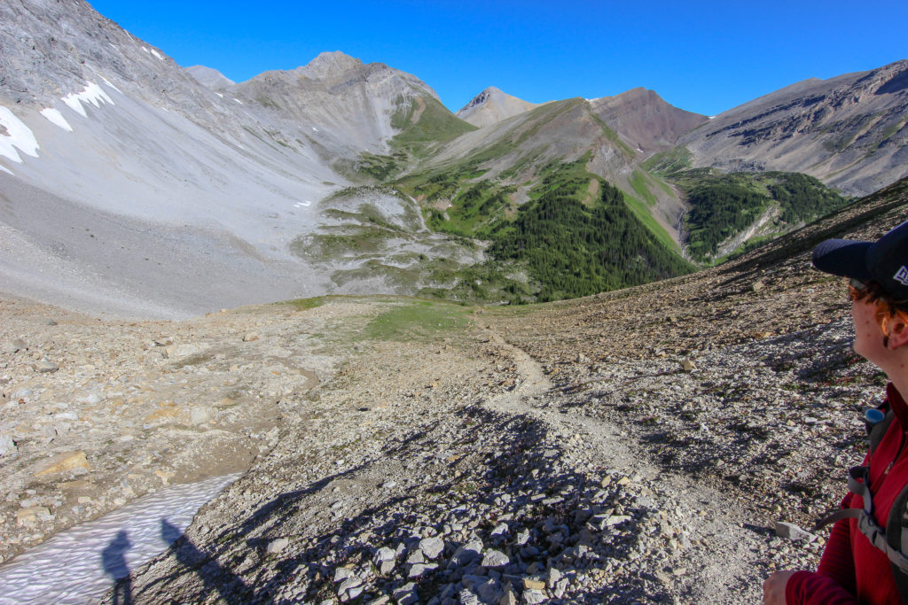
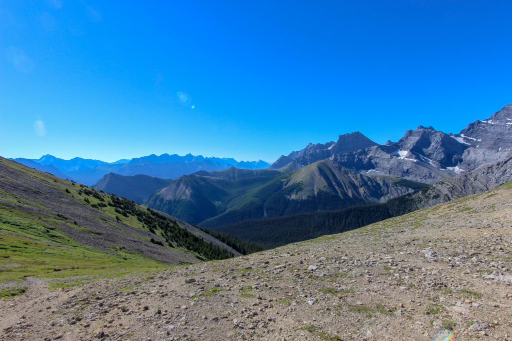
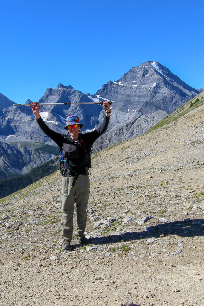
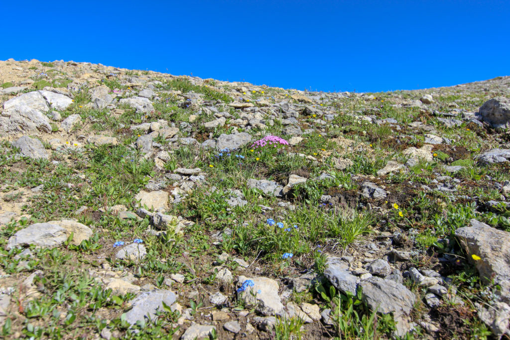
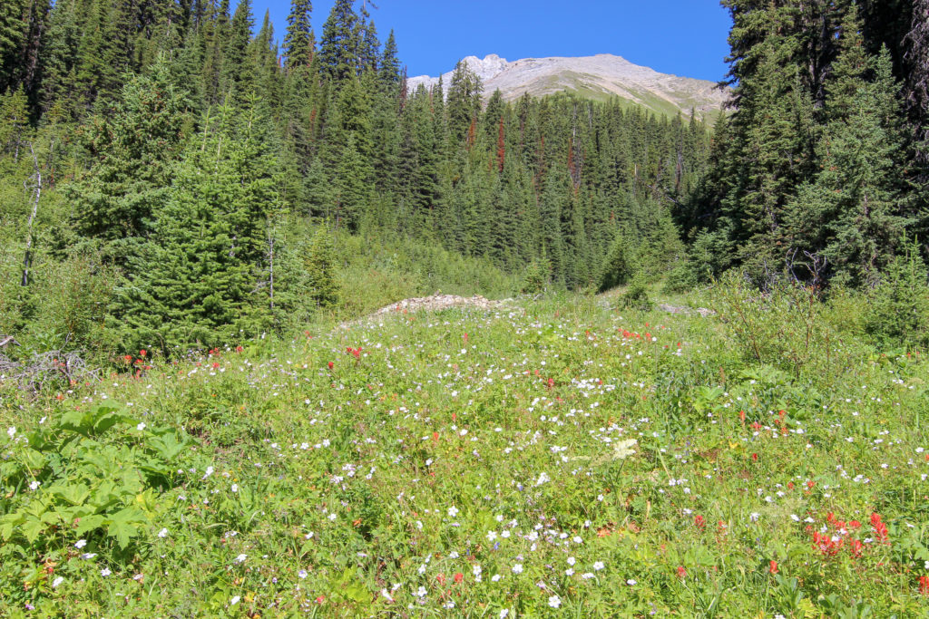
There is a trail leading up to Guinns Peak and along a ridge traverse to Mt Kidd South. The traverse would make a great day outing with a return to Ribbon Lake. We unfortunately did not have the time on this trip to explore the ridge. The south side of Guinns Pass was completely different from what we had just hiked up. A land of rock and scree quickly gave way to a rocky flower garden then to grassy meadows. The better sun exposure of the south facing slope gave rise to a much greener hillside.
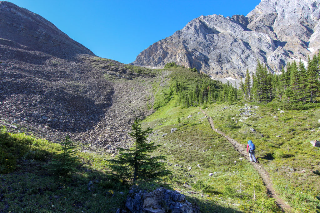
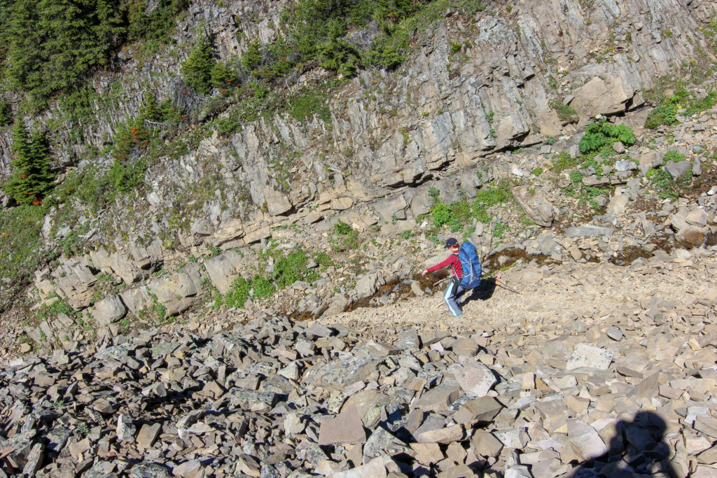
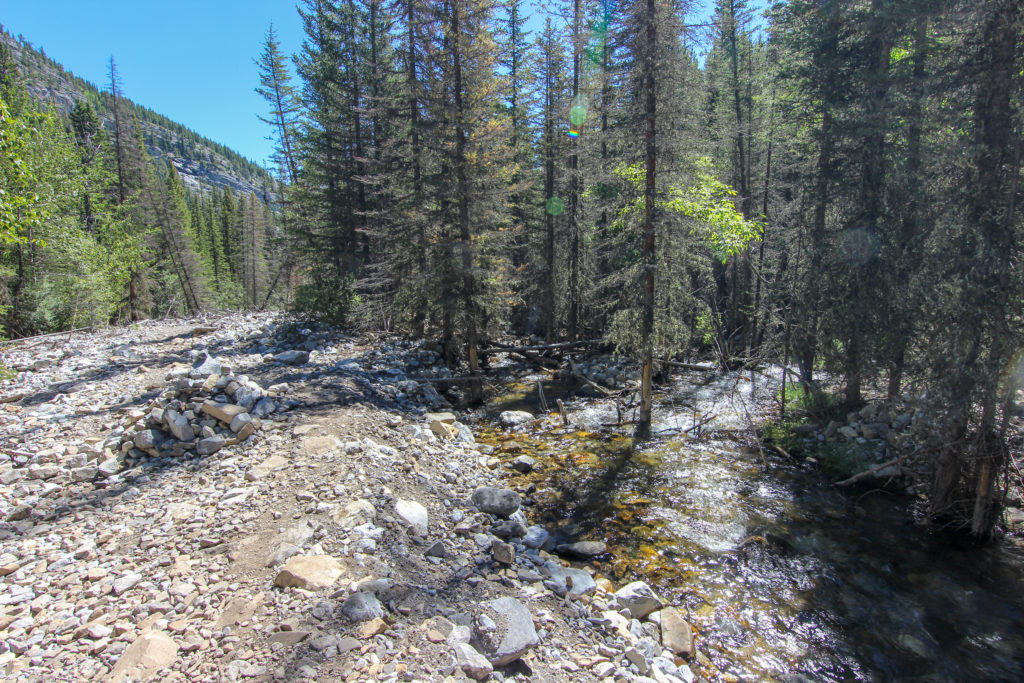
We left the smal creek as the headed over a rocky ridge for some easy descending. Then the trail cut back over to a creek which drained the pass. The trail was very steep while it followed the creek which made for some exciting descending.

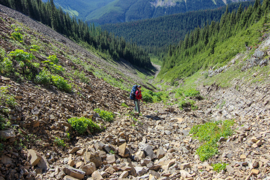
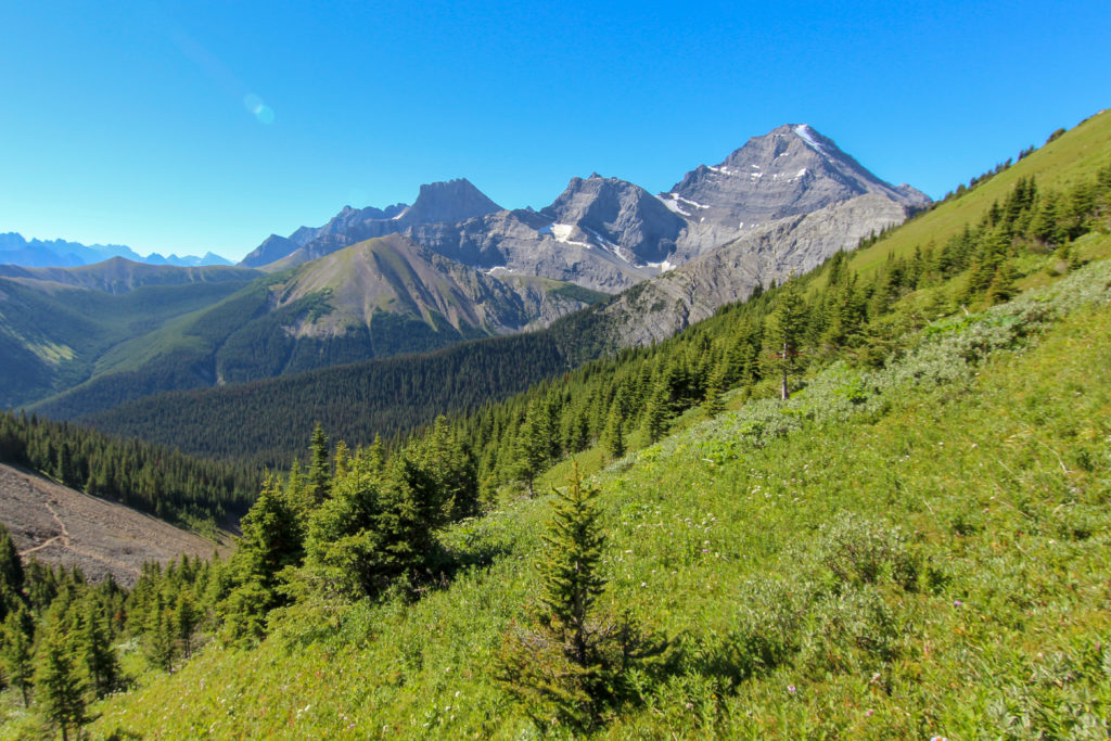
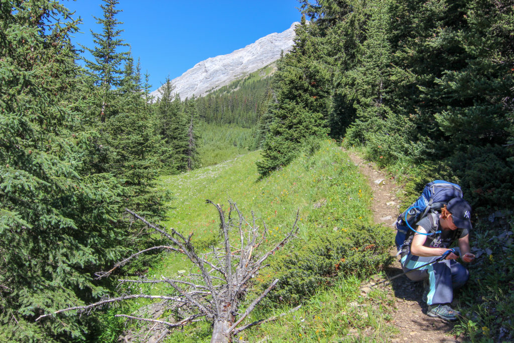
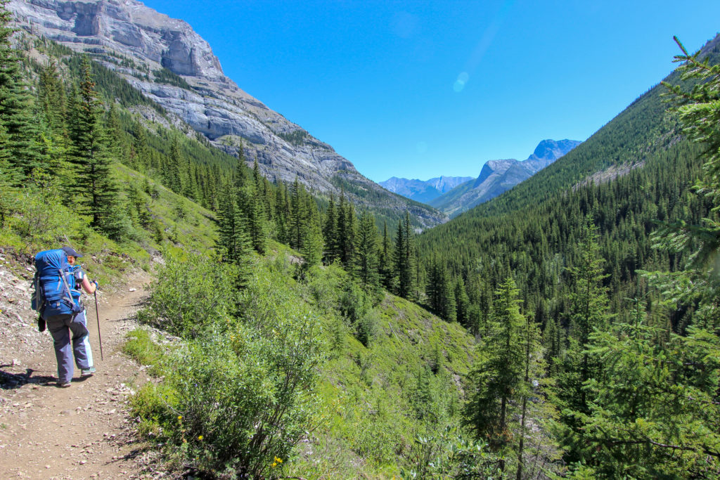
As we approached the junction with Galetea Creek the trail remained open around us with excellent views of the surrounding mountains. It took us a little under 2 hrs to make it to Galetea Creek, a distance a little shy of 5km.
Our arrival at the junction with the trail up Galetea Creek was a little underwhelming. A small board was placed across the creek for us to cross. Guess the amount of traffic coming over Guinns Pass is not very high.

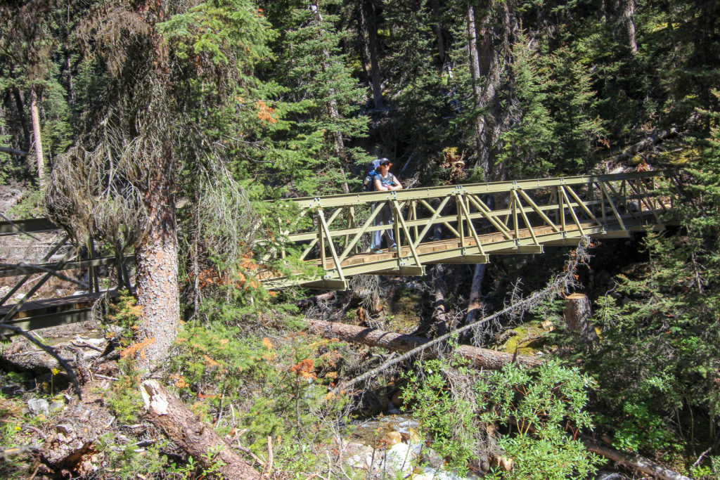
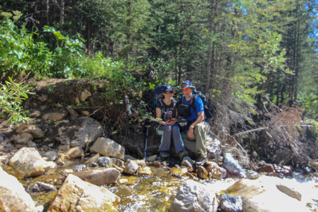
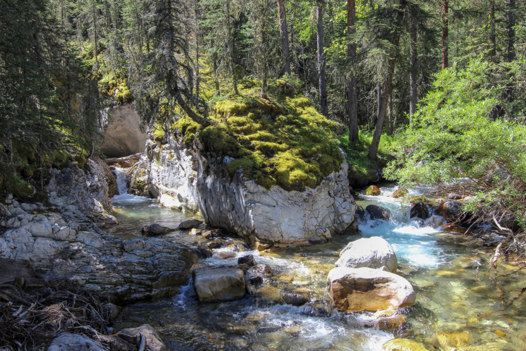
The Galetea Lakes trail was very wide and well maintained. The bridges along the trail which would have been affected by the flood of 2013 have been replaced by new metal bridges all of which where a healthy height above the river. The extra height is probably an effort to flood proof the bridges. After not seeing anyone since we left camp we met a steady stream of hikers heading up to Lillian Lake and possibly further to Galetea Lake. After about 20 minutes we found a nice little cascading rocky rapid to sit in some solitude and have lunch. It was 11:30am.
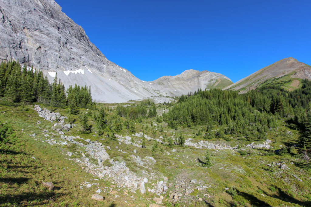
We returned to the trail and headed and headed for the junction with the Terrace South Trail which would take us back to Kananaskis Village. While there was a lot of walking in the trees. The trail did open up from time to time to provide views up to the mountain summits that surrounded us.
As we descended lower and the creek flattened out the extend of the power of the flood was evident. The creek had obviously spilled over its banks and had swept an area many times the size of the small creek that was running along side us now.
We arrived at the junction with Terrace South Trail at 12:55pm. We had covered 10km in 4 hours, including lunch and numerous stops to enjoy the views. All in all a very nice hike.
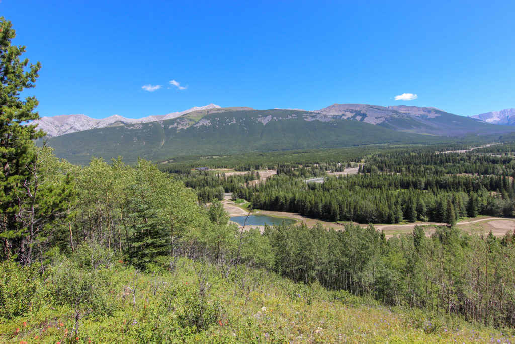
The Terrace South Trail is a rolling ski trail that leads from the village at Kananaskis to the Galetea Trail. For hiking there is very little of interest for the bulk of the trail. The trail is mostly in the trees away from the river in the valley below providing few opportunities for views of the mountains that were all around us. I set a rapid pace in an effort to “just get it done” but received some negative feedback on the pace from Micah, saying something about short legs. We did stop on a high ridge to view the restoration of the golf courses that were devastated by the floods. We covered the 7.6km in 1hr 45min, arriving back at the car at 2:30pm.
Despite finishing on the ski trail the trip was an amazing hike. It was very nice not to do an out and back. Doing a circular route had us on new trail the entire way. Ribbon Lake is an amazing destination and going up the chains added to the experience. Guinns Pass and the views offered added a sense of grandeur to the trip as the views extended to the horizon in all directions.