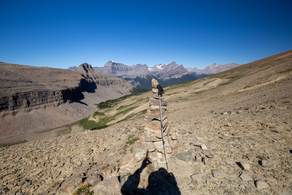
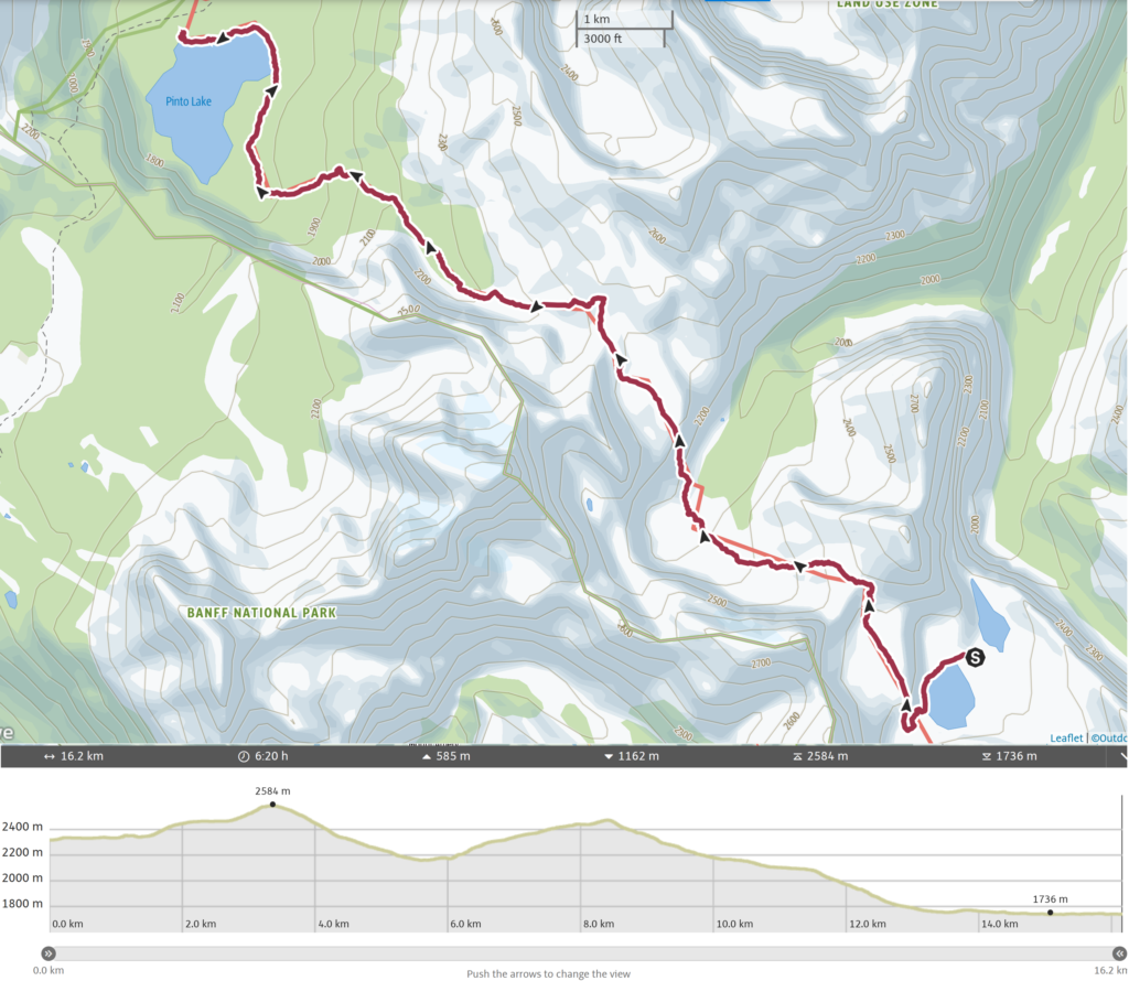
Day 3, August 13th, Lower Michelle Lake to North Pinto Lake. 16.2 km, 700 m elevation gain, 1200 m elevation loss, 6 hrs 20 min (Segment 24).
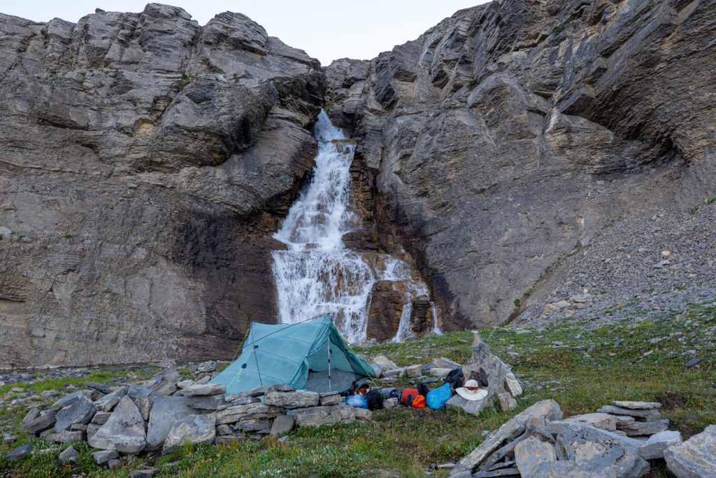
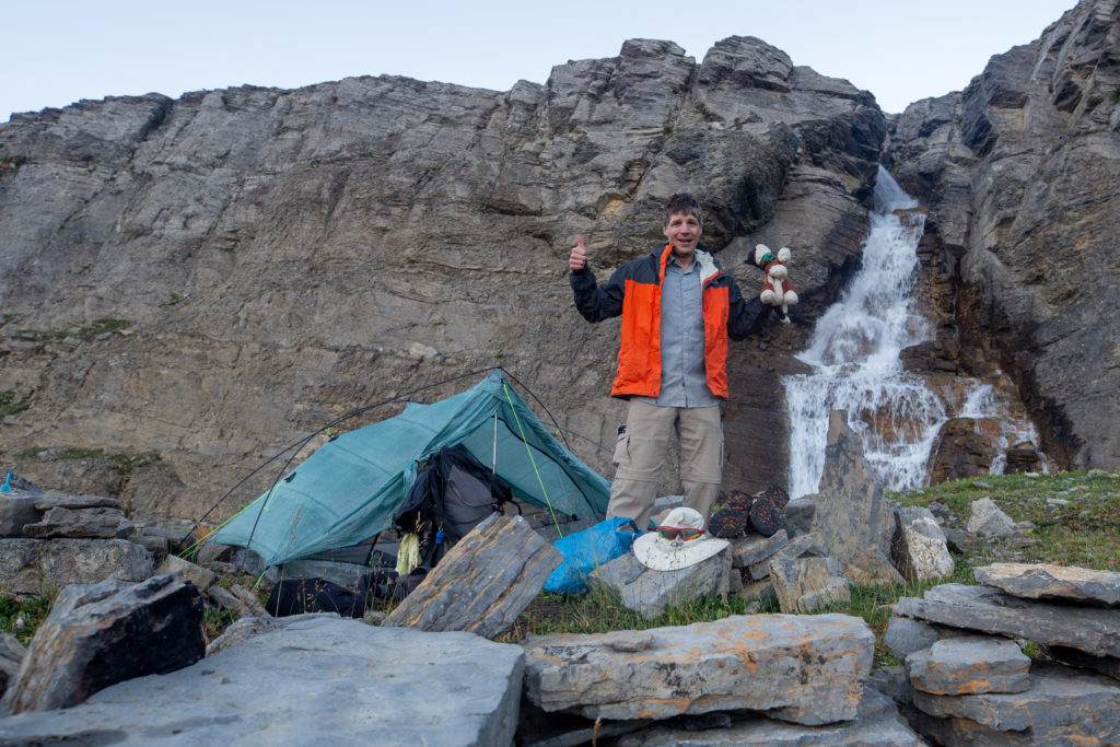
I slept well with the thundering of the waterfall drowning out any other noise. I rolled out of bed and quickly retrieved my bear canister. I then set about crossing the creek to grab my bear bag from its perch up on the cliff. I was very happy to see that no animals had discovered it. I quickly got the water boiling for coffee and filtering water for my Gatorade. It was going to be a reasonably short day, but I was hiking with Bent and Jason and wanted to be ready to leave on time. Jason appeared on the cliff above my campsite yelling my name, indicating that it was time to go. It was 7:30 am.
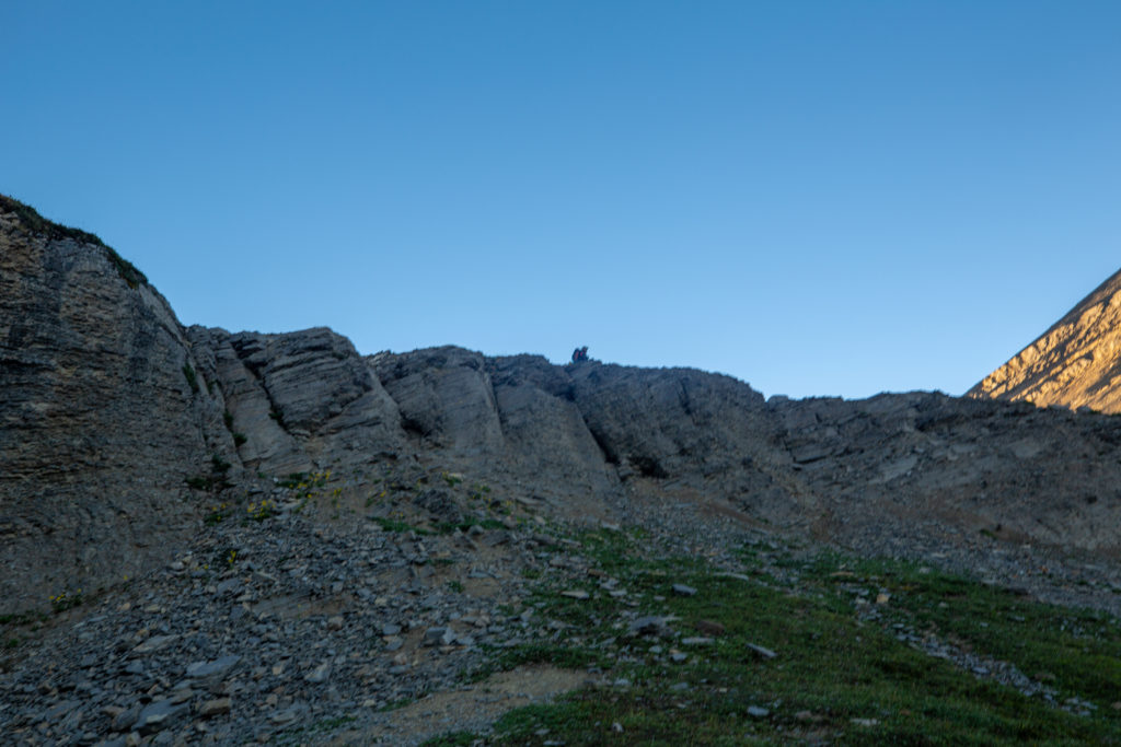
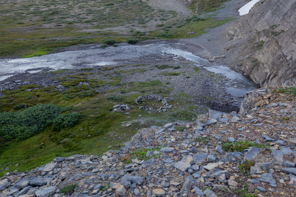
Our early start got delayed when Bent wanted to go check out the outlet of Lower Michelle Lake. He headed off around the north side and quickly got cliffed out. After a few minutes of exploring Bent was satisfied you could not make it to the outlet from the north side so we turned around and headed back towards the main trail. Our goal today was Pinto Lake which was only a 16 km hike over two moderate passes.
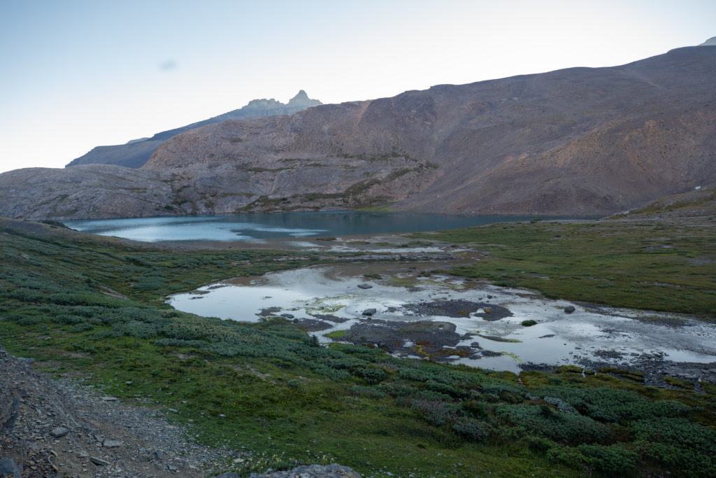
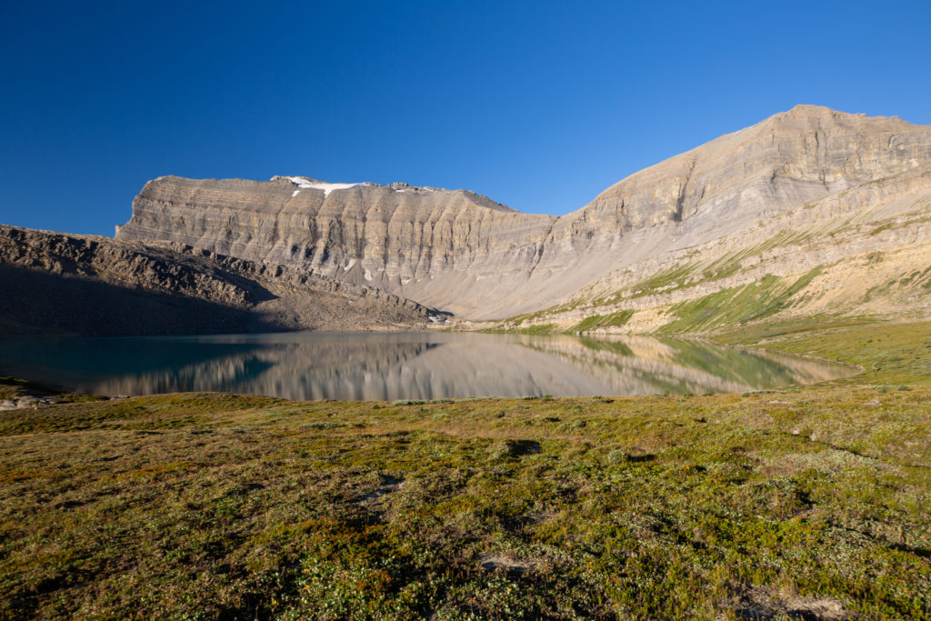
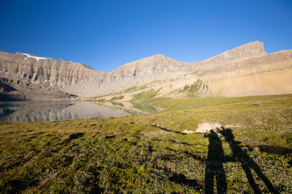

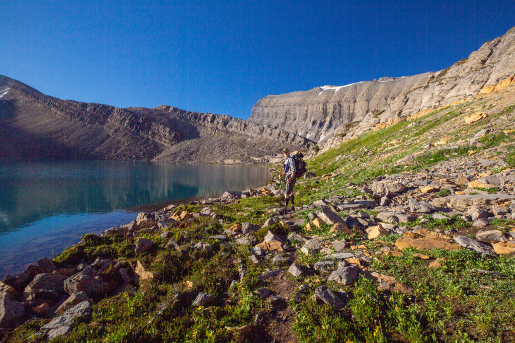
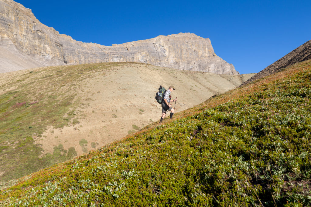
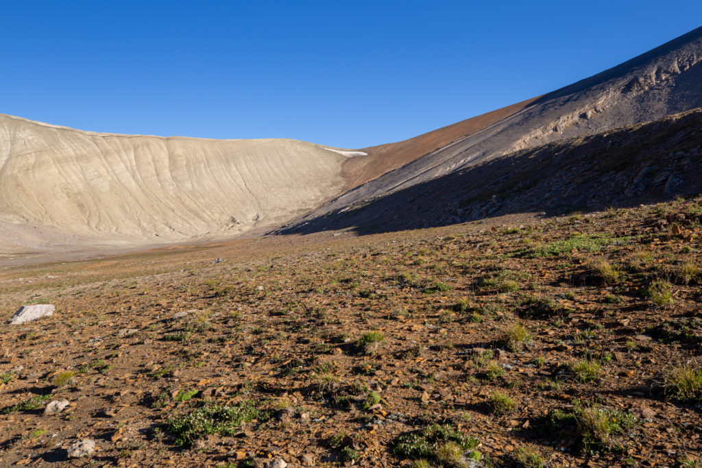
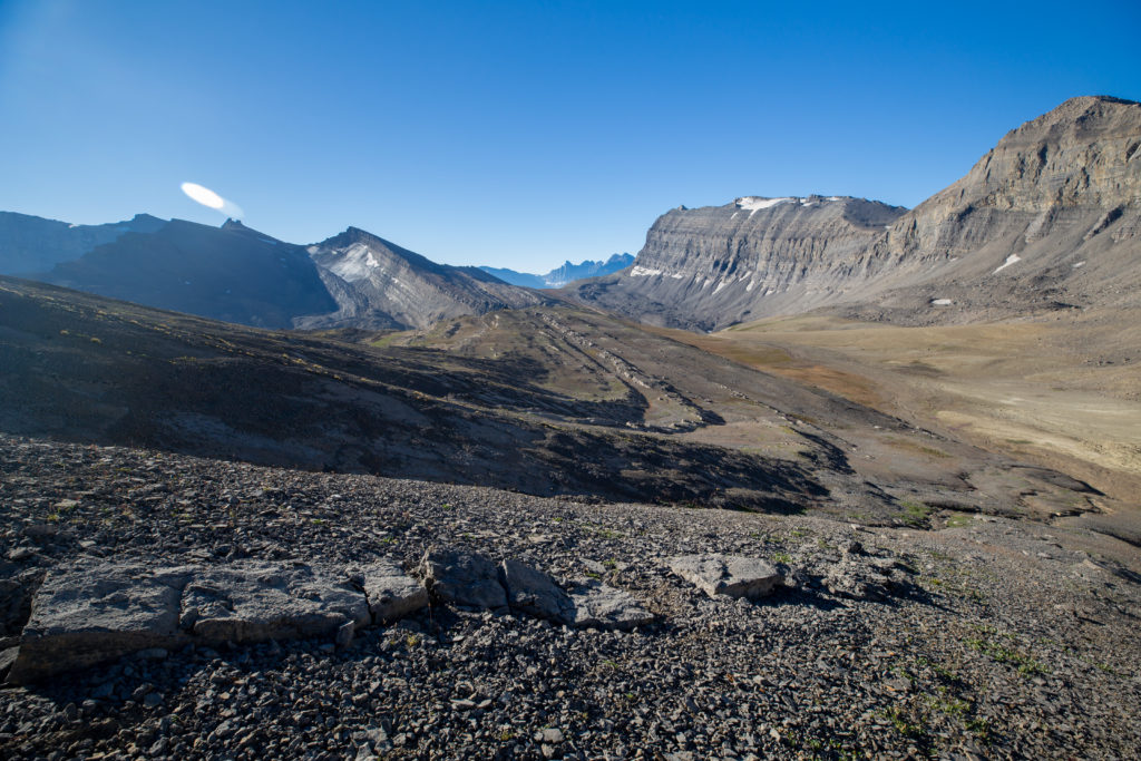
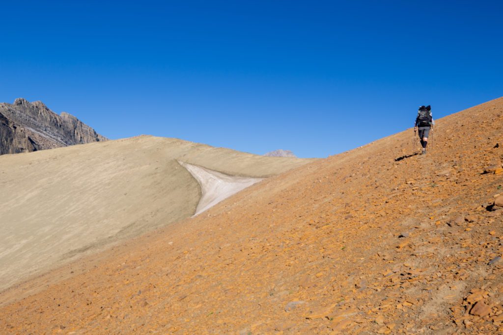
It was almost 1.5 km back to the main trail. Upon arrival back on the GDT our reward was a 230 m climb to the top of “Michelle Pass” (unofficial name) the highest point on the GDT. There is no trail to Michelle Pass but it is not really needed. The pass can be located by a small cornice of snow which survives until the end of the season and you just hike up aiming for the snow while looking for the best route through the rocks. As I would learn later in the hike, you just follow the drainage to the top. It took about 40 minutes of steady hiking to arrive at the cairn that marks the pass.
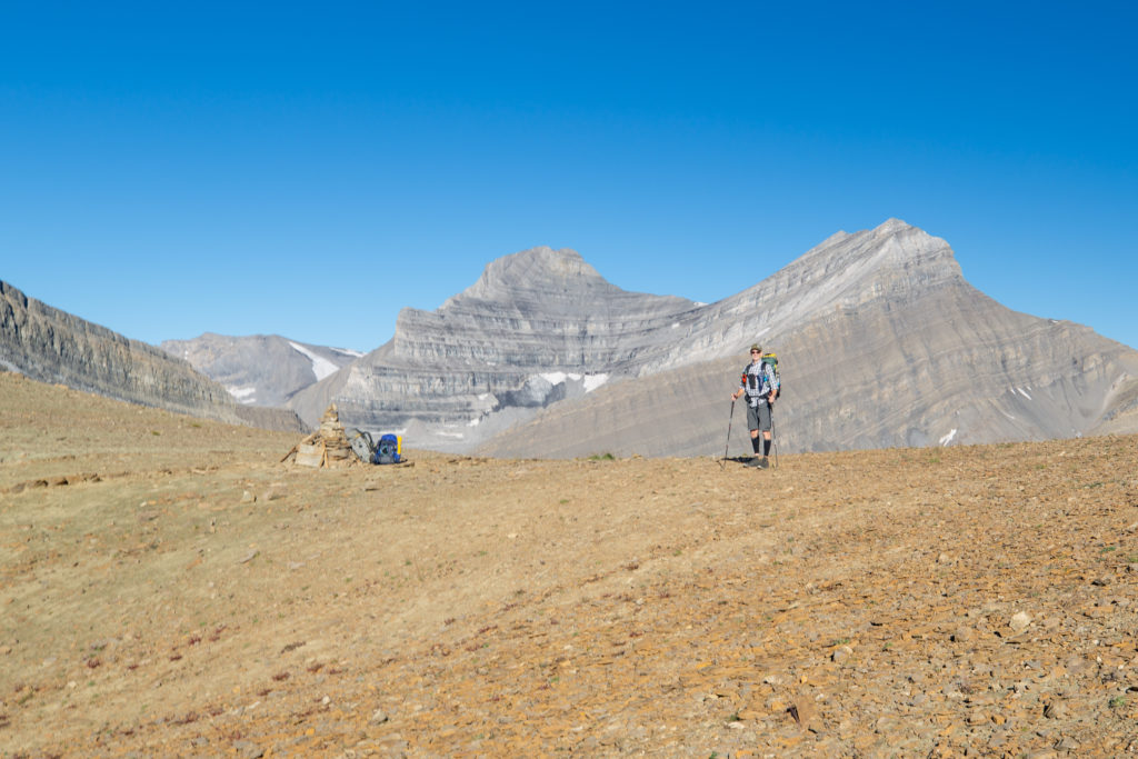
We met a couple of hikers with the trail name PeterGabriel. Their names individually were Peter and Gabriel but they introduced themselves as Peter Gabriel the singer from 1970’s rock band Genesis. They had come from over Owen Pass and had dumped their packs at the cairn to scramble to the local peak north-east of Michelle Pass.
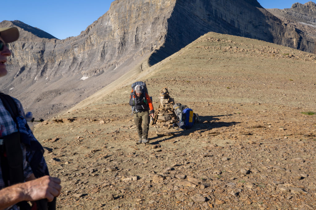
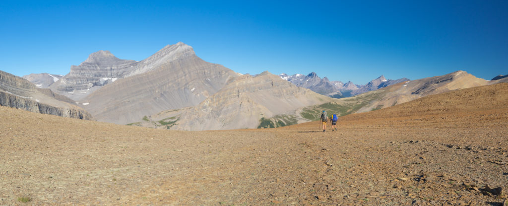
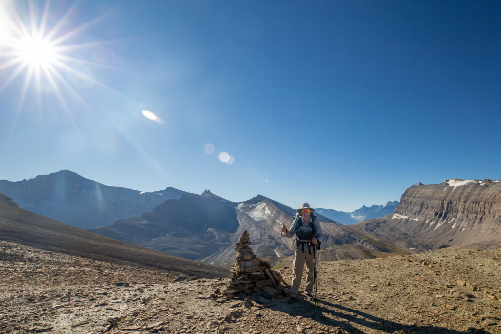
After spending a few minutes at the top of Michelle Pass we headed down into the valley. There is no trail on either side of Michelle Pass. We made good time descending the pass as there was some really good scree skiing.
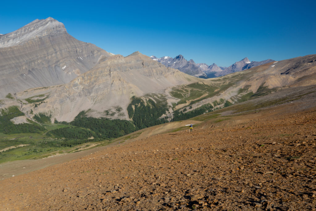
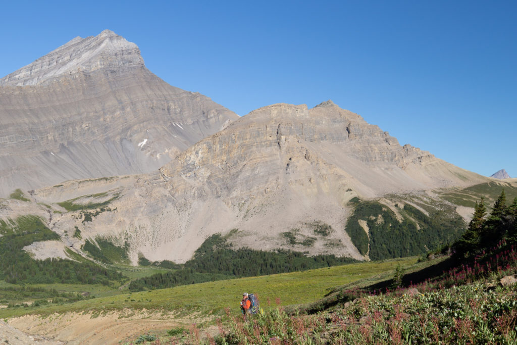
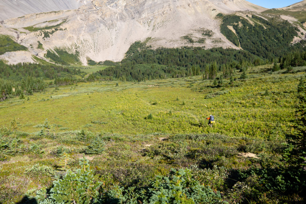
Despite the GDT becoming more popular, there are just not a lot of people moving through this section. While on this day there were five people hiking through, the trails are not very well defined. We arrived at the bottom of Michelle Pass and lost the trail in a series of drainages. I did find a campsite that was marked on the GDT App. The campsite was little more than a flat area but it had good access to water and showed signs of use. If going to wild camp it is a good idea to use a known spot and minimize the impact on the backcountry.
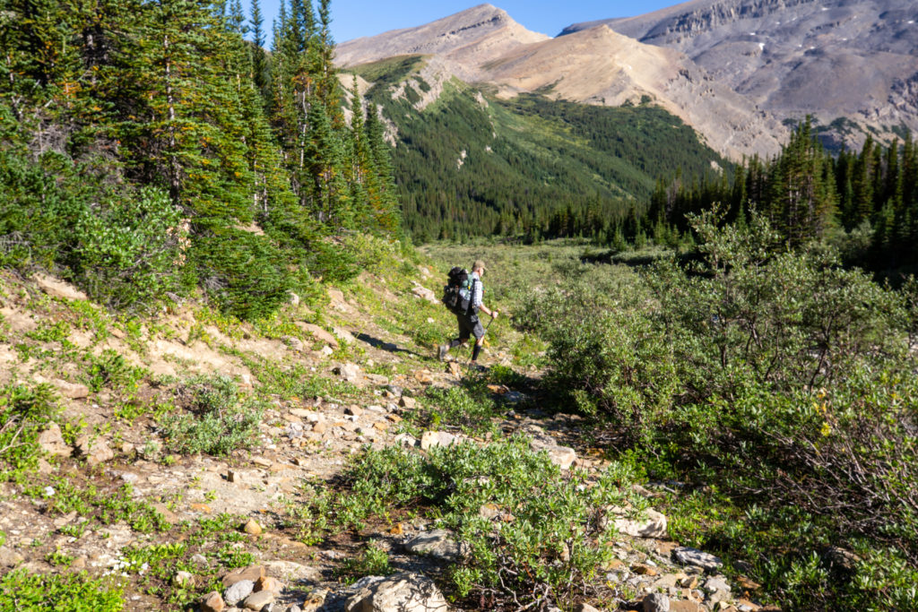
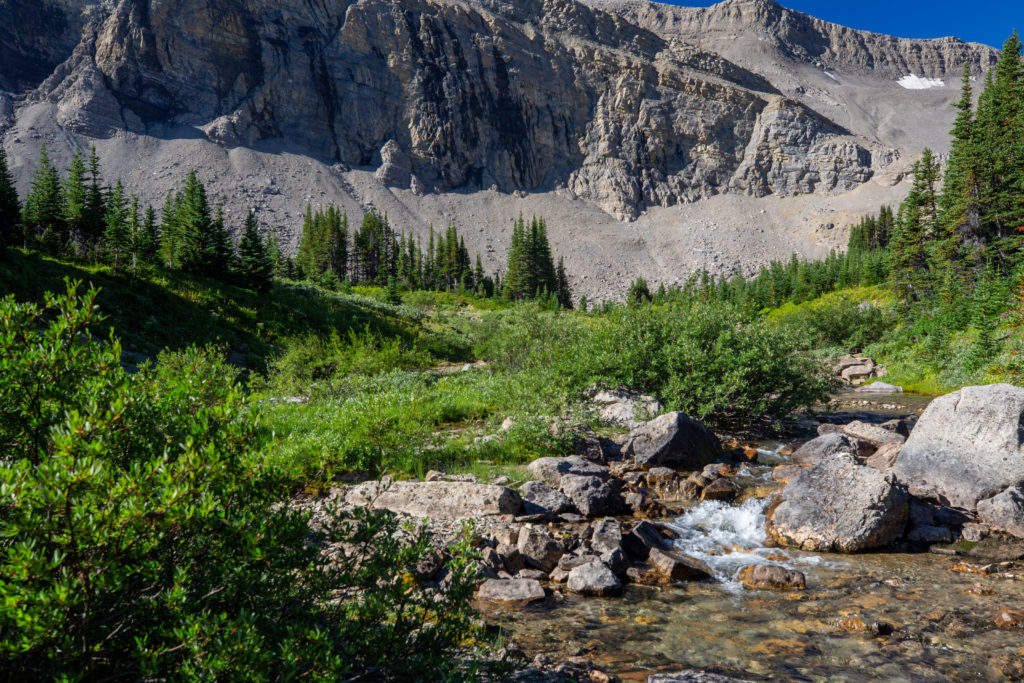
Shortly after leaving the campsite we had our first adventure for the day. We lost the trail so Jason and Bent made a guess of where to go which was uphill. We spent the next 15 minutes bushwhacking through some pretty densely packed trees. After everyone checked their various electronic devices we figured that we were above the trail. Instead of heading directly to the trail, which would have been downhill, the decision was to contour over to the trail to avoid losing any of our hard fought elevation. What I remember most about the bushwacking was watching Jason’s sleeping pad which was attached to the bottom of his pack take a beating every time he disappeared into the trees.
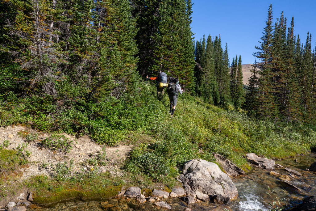
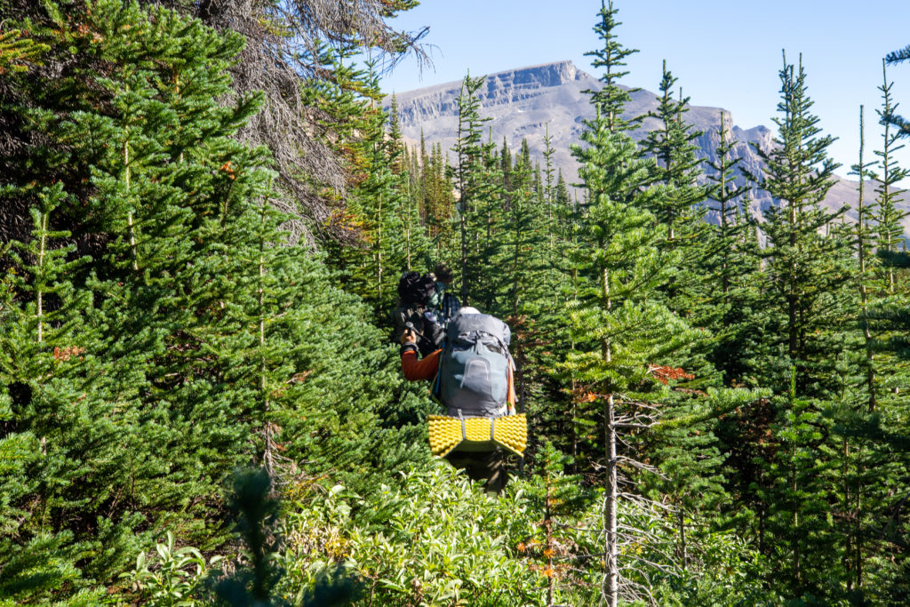
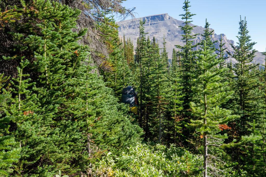
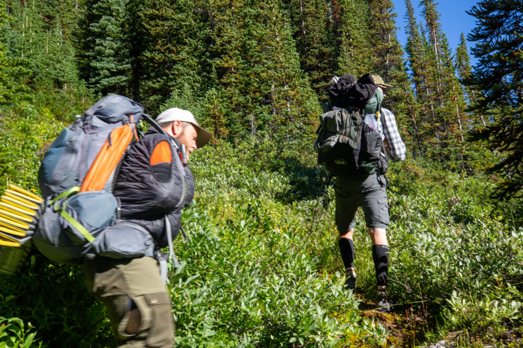
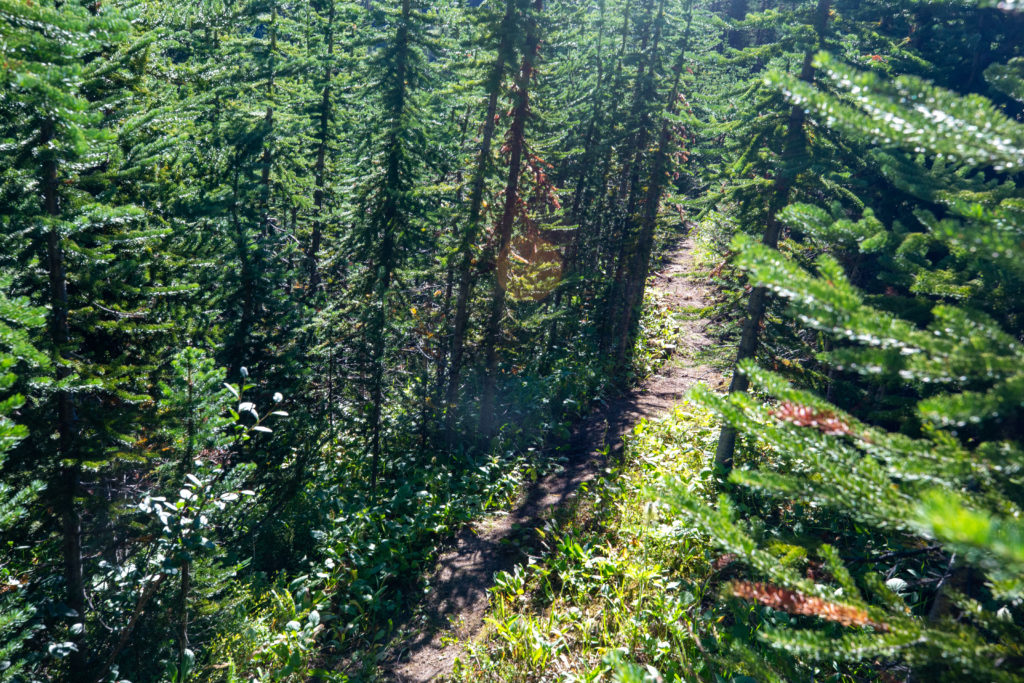
Once back on the trail we made good time heading up Pinto Pass. The climb to the pass is initially quite steep before flattening out for a nice high alpine meadow walk.
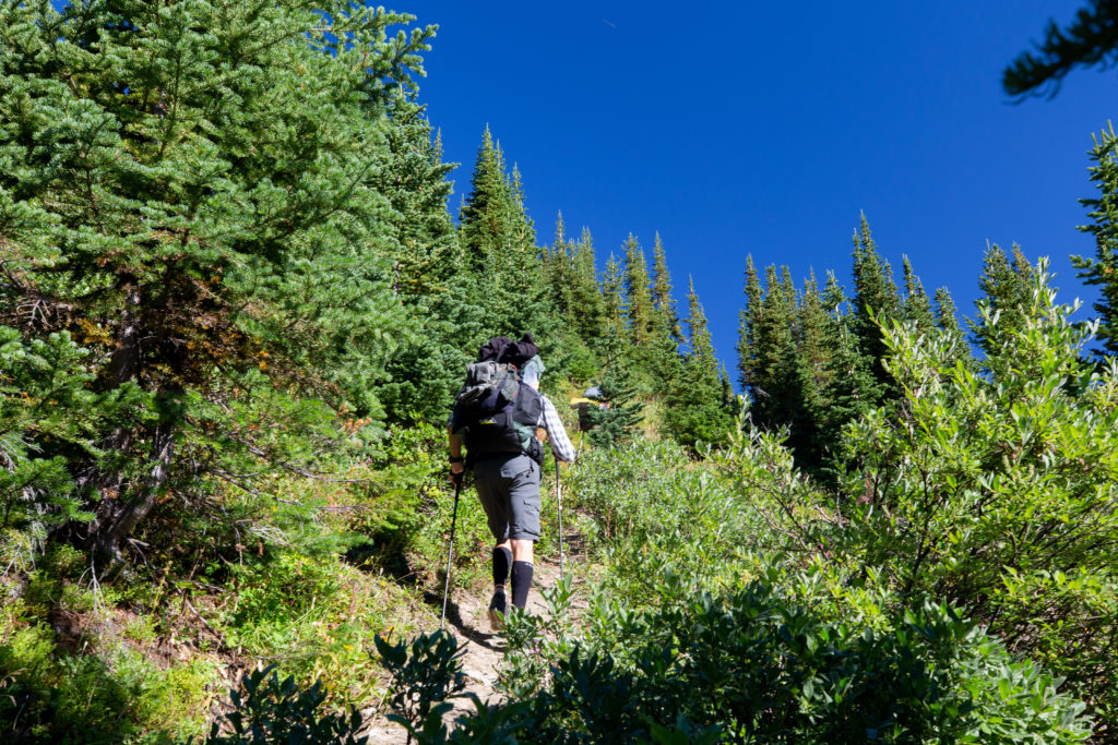
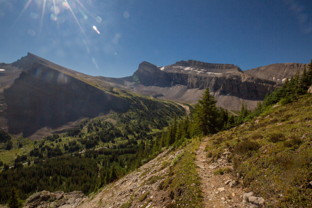
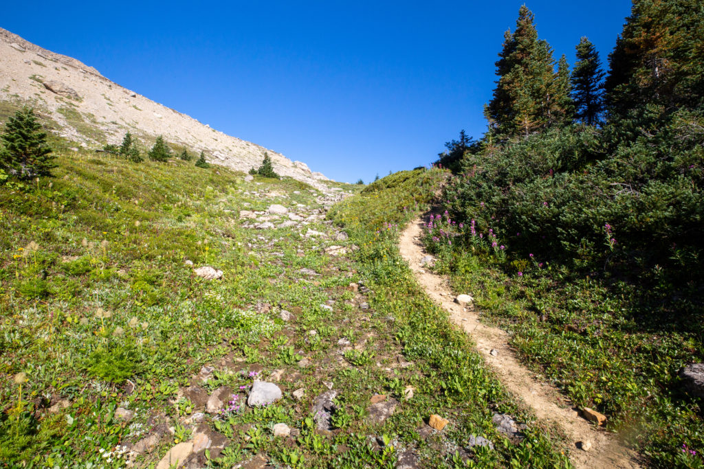
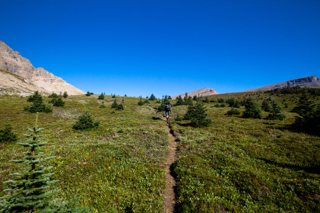
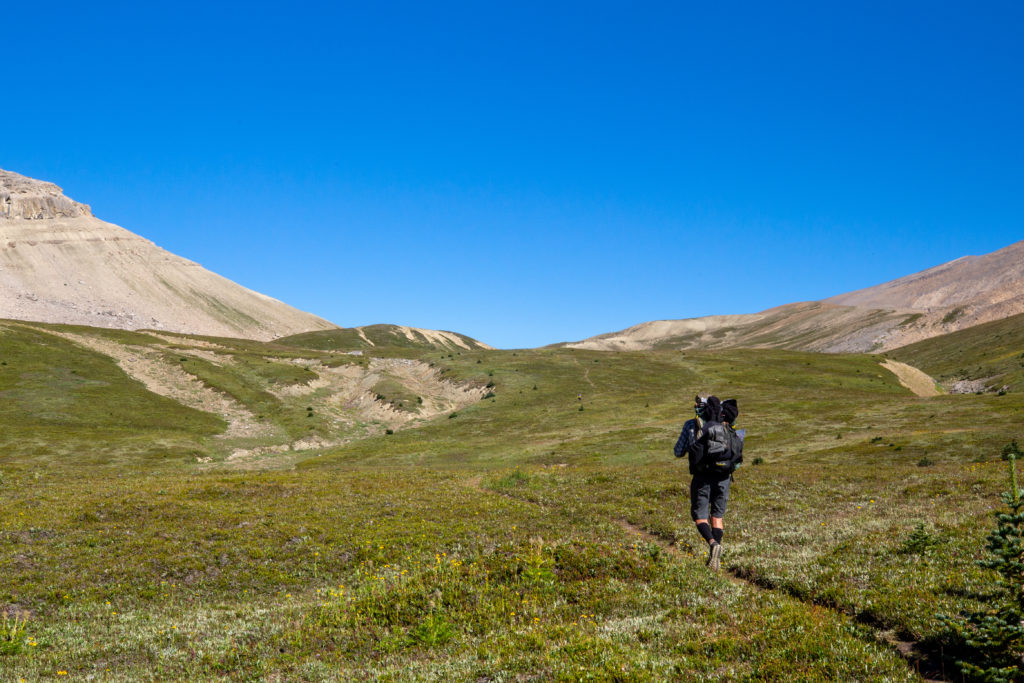
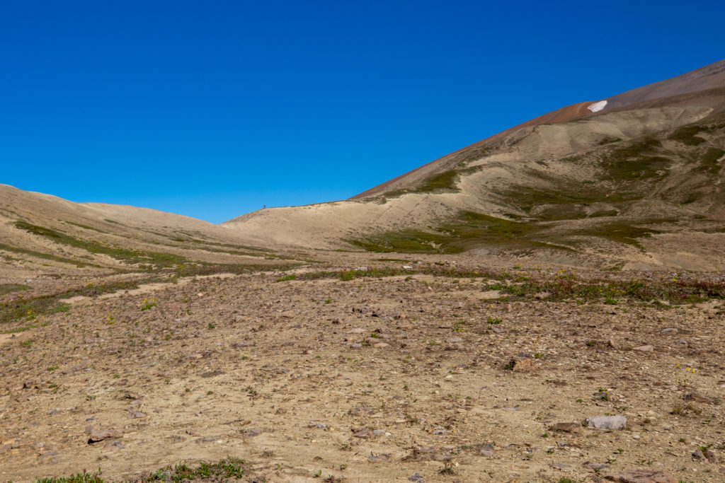
It took us 1 hr 5 minutes to arrive at Pinto Pass since we had left the campsite down in the valley.
The trail heads up the ridge for a short way before heading down into the valley. PeterGabriel were having lunch at the high point so we joined them to rest and refuel before descending down to Pinto Lake and our campsite.

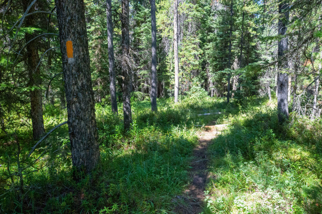
The descent from Pinto Pass was easy on good trail. The trail descends steeply at first on a rocky path before flattening out in a little valley where the vegetation returns. After the short flat section, the trail heads downhill on good tread towards Pinto Lake. Our little group started to split up as we descended and we pretty much hiked solo until Pinto Lake. On the last steep section I met my first extreme-ultra lighter, a young man day hiking in the nude. He was very friendly and we stopped to chat for a few minutes. I was surprised by how quickly I got used to his lack of clothing. It just was not a big deal. There are several camping areas at Pinto Lakes and he was obviously staying at a different area than us as I never saw him again after we said our goodbyes.
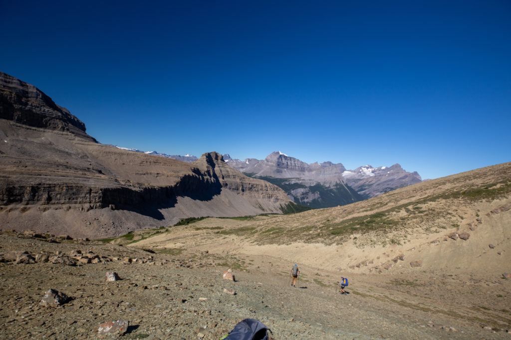
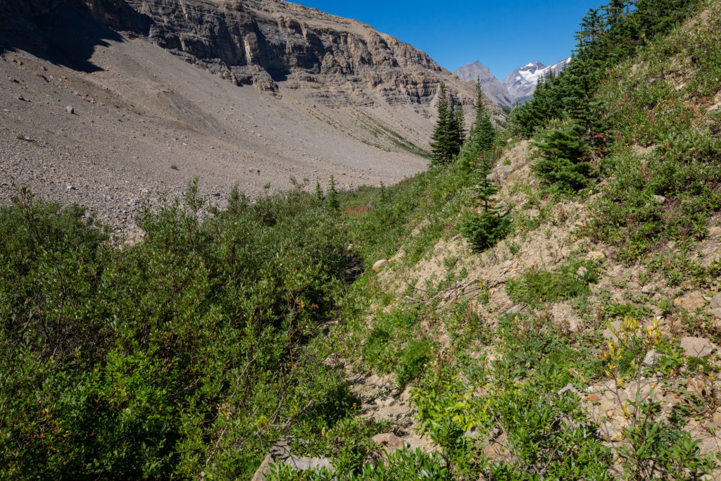
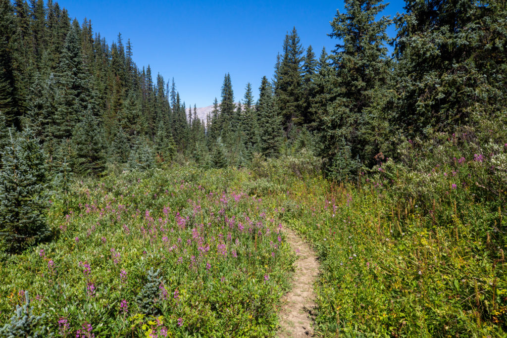
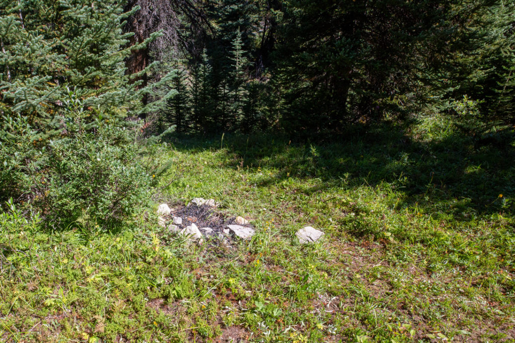
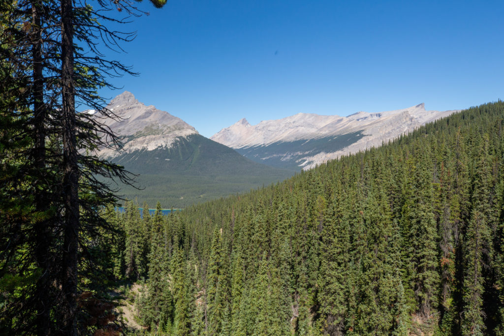
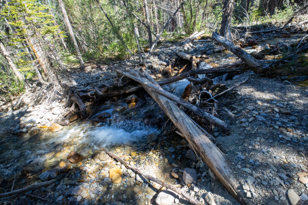
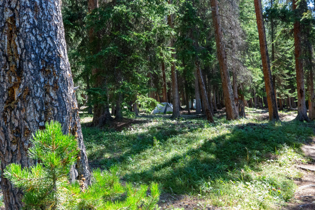
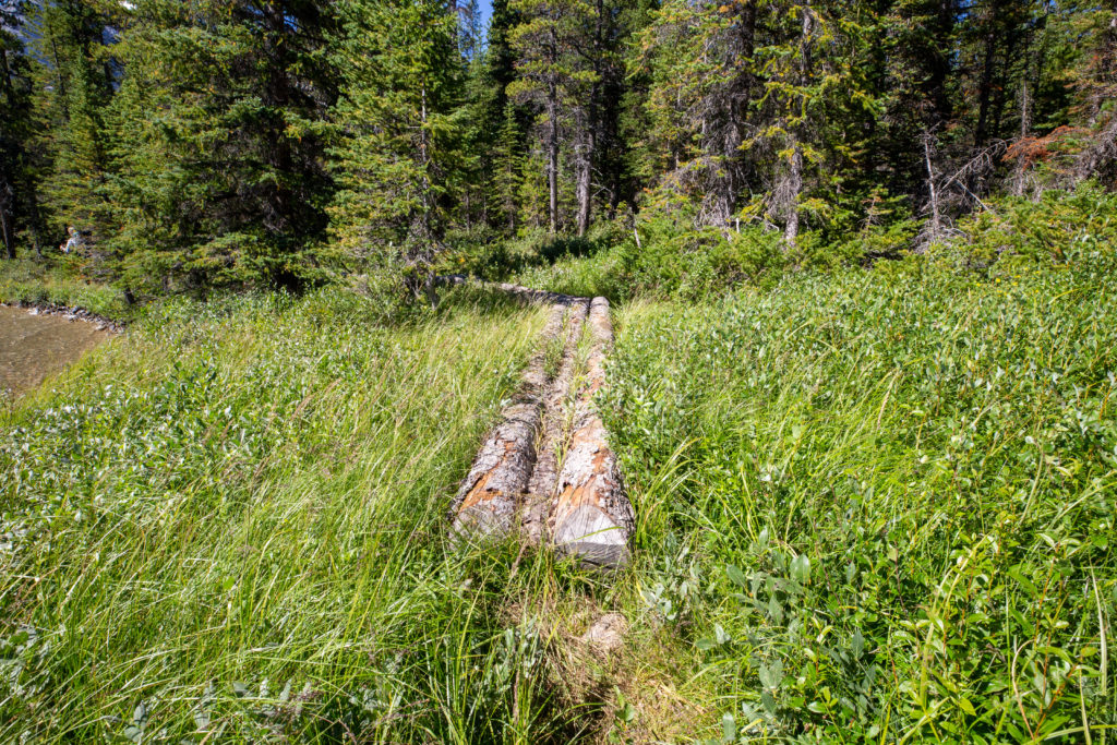
Near the bottom of the descent there are a few easy stream crossings. It would not be difficult to just walk across the stream but there were some iffy bridges if you wanted to keep your feet dry. There were a couple of tents set up at the first campground I came to. As we approached the lake shore there was a very cool sign with some interesting history of the area.
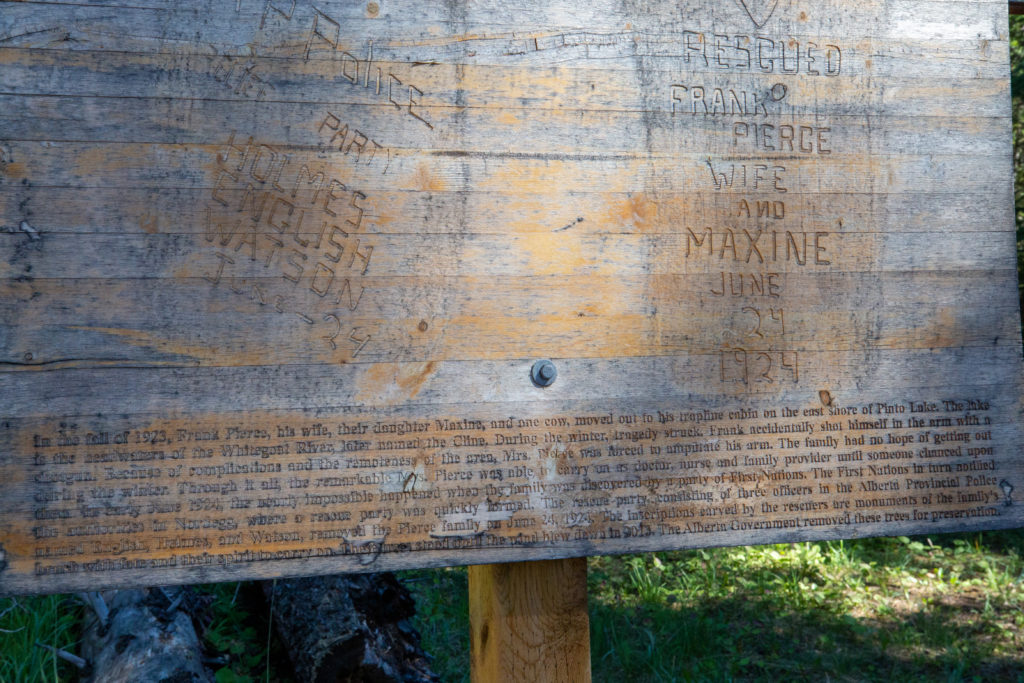
“In the fall of 1923, Frank Pierce, his wife, their daughter Maxine and one cow moved to his trapline cabin on the east shore of Pinto Lake. The lake is the headwaters of the Whitegoat River, later renamed the Cline. During the winter tragedy struck. Frank accidentally shot himself in the arm with a shotgun. Because of complication and the remoteness of the area, Mrs Pierce was forced to amputate his arm. The family had no hope of getting out during the winter. Through it all the remarkable Mrs. Pierce was able to carry on as doctor, nurse and family provider until someone chanced upon them. In early June 1924, the nearly impossible happened when the family was discovered by a party of First Nations. The First Nations in turn notified the authorities in Nordegg, where a rescue party was quickly formed. The rescue party consisted of three officers in the Alberta Provincial Police named English, Holmes, and Watson, removed the Pierce family on June 24, 1924. The inscriptions carved by the rescuers are monuments of the family’s brush with fate and their spirit to carry on. These trees stood until the wind blew down in 2013. The Alberta Government removed these trees for preservation.”
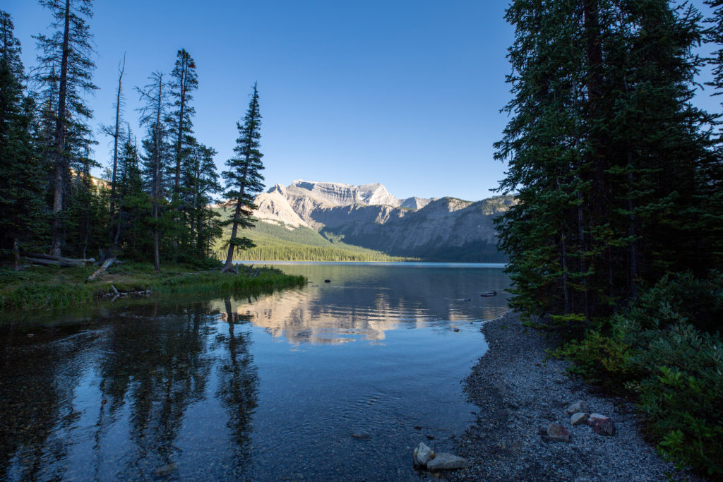
To access the North Pinto Lake Campsite we had to hike all the way around the north side of the lake. The campsite is located on the far side of the Cline River which is the outlet for Pinto Lake. The walking was quite easy with boardwalks installed to keep the feet dry and protect the marshy shoreline from being unnecessarily eroded by hikers.
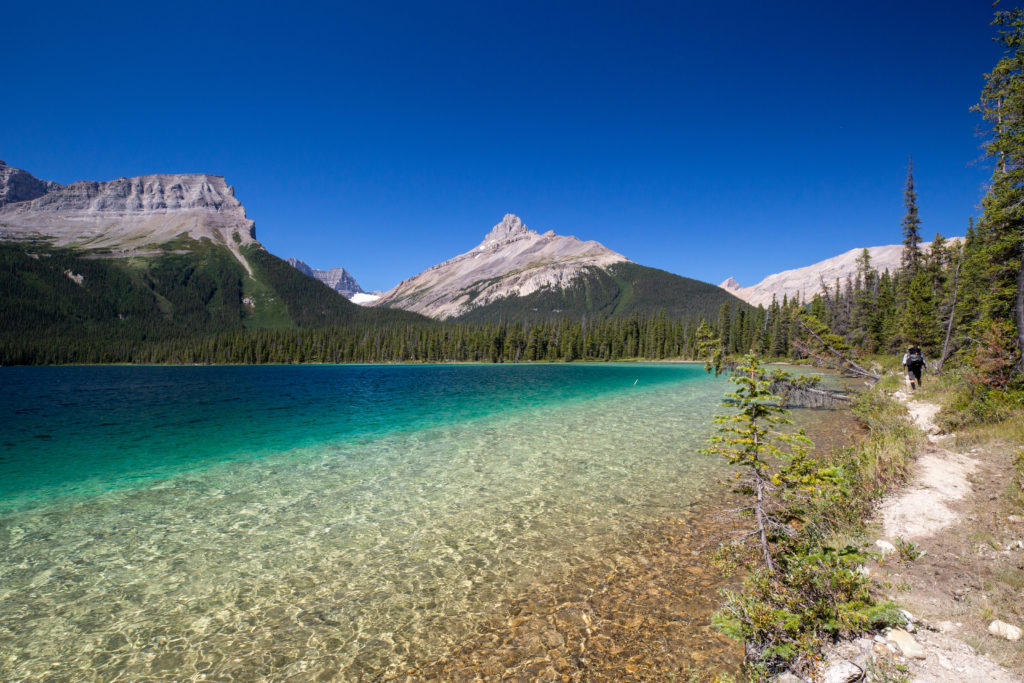
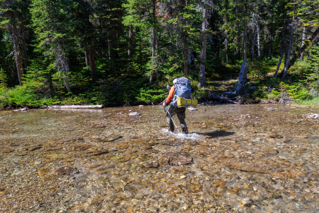
The crossing at Cline River was very easy. The river was was wide and shallow and the water was not flowing very fast at all. Jason barged across but I stopped to put my sandals on to keep my shoes dry. The Campground is located just a 100 m or so upstream from the crossing.
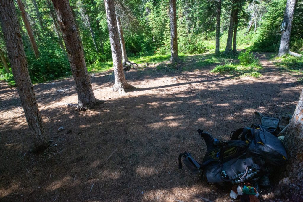
It was 1:55 pm when I dropped my pack. Could have definitely continued on to do a few more hours of hiking and wild camped somewhere along Cataract Creek. However, Pinto Lake is such a pleasant location there was no reason not to stay and enjoy the scenery. For PeterGabriel, Bent and Jason this would be a great day for recharging as they had all been hiking many more days than I had. PeterGabriel were thru hiking the GDT and said that this was their shortest day in several weeks. Bent and Jason had started up together at Sunshine Village and had been hiking hard since then. For me this was only day three and I had only covered about 35 km. I was still building up my trail legs and I would make up for my easy start with a big day tomorrow. We spent the day lazily enjoying the sunshine by the lake shore. Gabriel and Jason both dove into the lake to cool off. I was unable to enjoy the water because just as I was finishing setting up my tent I rammed my bare foot into a small tree stump that littered the campsite. I gave myself quite a nasty gash on the top of my left big toe. Luckily when I put my hiking shoes back on the shoes did not rub against the cut. I decided moving forward I would not walk around camp without socks on.
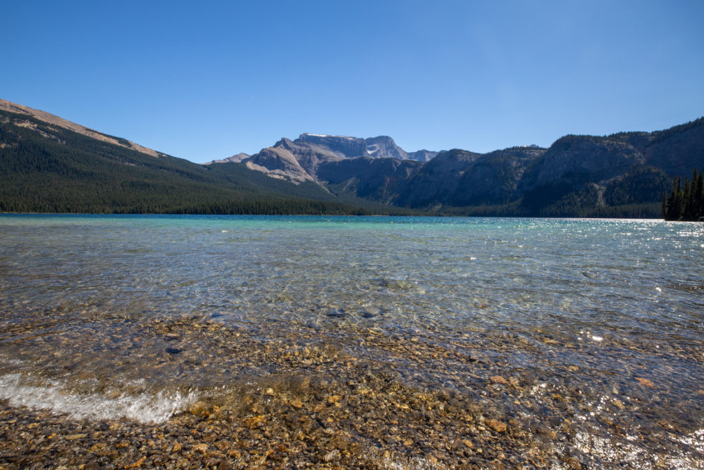
I spent the afternoon napping by the lake and reading. The five of us had a super pleasant dinner together. Peter worked for the government of Alberta monitoring stream flows. When talking about my time up on Burgess Pass it was then that Peter explained how the Burgess Shale is protected by motion sensors that alert Parks Canada staff back at Field BC if someone is headed up the restricted trail to the Burgess Shale. What I learned from Gabriel was that even when thru hiking when it is important to manage the weight you carry it is important to bring some luxury items or treats. Gabriel had some cookies that were her special treat and she was agonizing a bit at camp because she had eaten too many the day before and there would not be enough cookies to last until Jasper. Another topic of discussion was Peter’s beard. Normally he is clean shaven but for the GDT he was growing his beard and was not going to shave it until the end of the hike. Apparently the beard was a great source of amusement to the family back home. We would separate from PeterGabriel tomorrow as they were taking a different pass to access the Brazeau and not going over Cataract Pass. I cannot remember exactly where they where headed. Bent and Jason would meet up with them again at Avalanche Campground in two days.
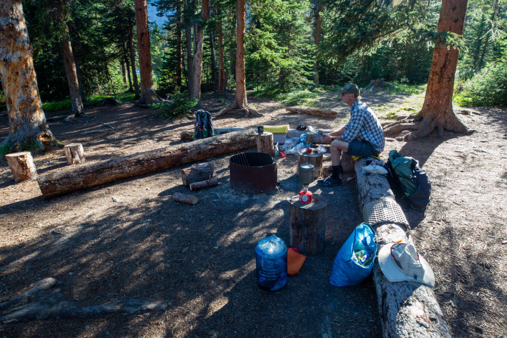
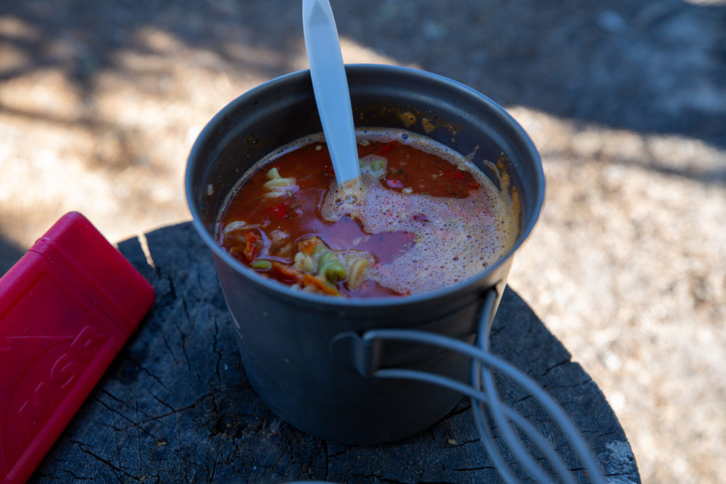
While having dinner I pondered what to do tomorrow. I was not in a rush as I had two days to arrive at Four Points Campground to meet up with Micah who would be joining me for the remainder of the trip. Jason and Bent were headed for Boulder Campground a distance of 32 km. My plan was to camp at the base of Cataract Pass about 15 – 20 km. Bent and Jason where leaving at 6 am and I had to decide if I wanted to hike with them or go solo for the day. In his guidebook Dustin Lynx describes the next section as “Strenuous hiking up poorly maintained trail over one high pass with some route-finding challenges”. I did have the GDT App and maps but I was not sure I wanted to dealing with route challenges solo. I did not have a lot of off trail experience so I wasn’t sure I wanted to tackle the challenging route-finding by myself (it really wasn’t that challenging). I made the decision to get up at 5 am and join Bent and Jason for the day but stop at Cataract Pass. I ended up hiking with them all the way to Boulder Campground.
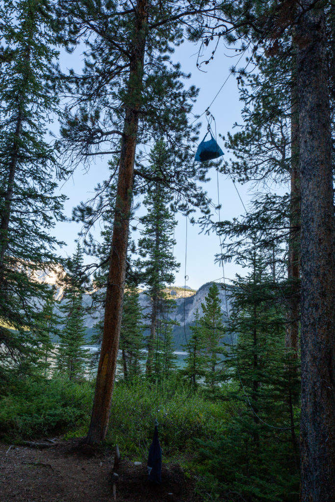
A group of six young women arrived at camp having come over Sunset Pass. They were having a great time and after dinner were playing card games in the dinning area. Unfortunately when they came to bed they walked through the campground talking loudly waking all of us who had headed to bed earlier. This happened twice during the night. The first wave came to bed at 11 pm, the second just after midnight. It would have been nice had they been a little respectful of the other campers.
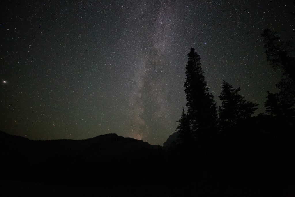
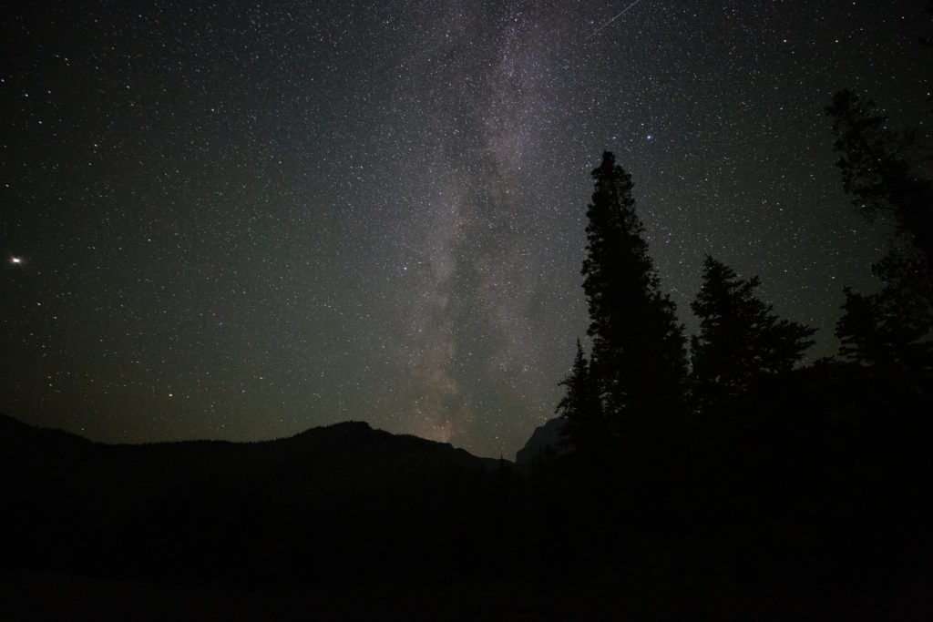
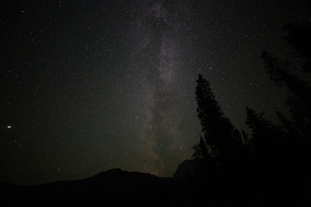
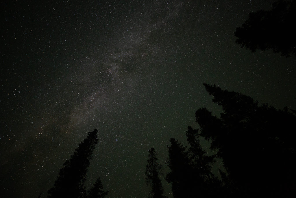
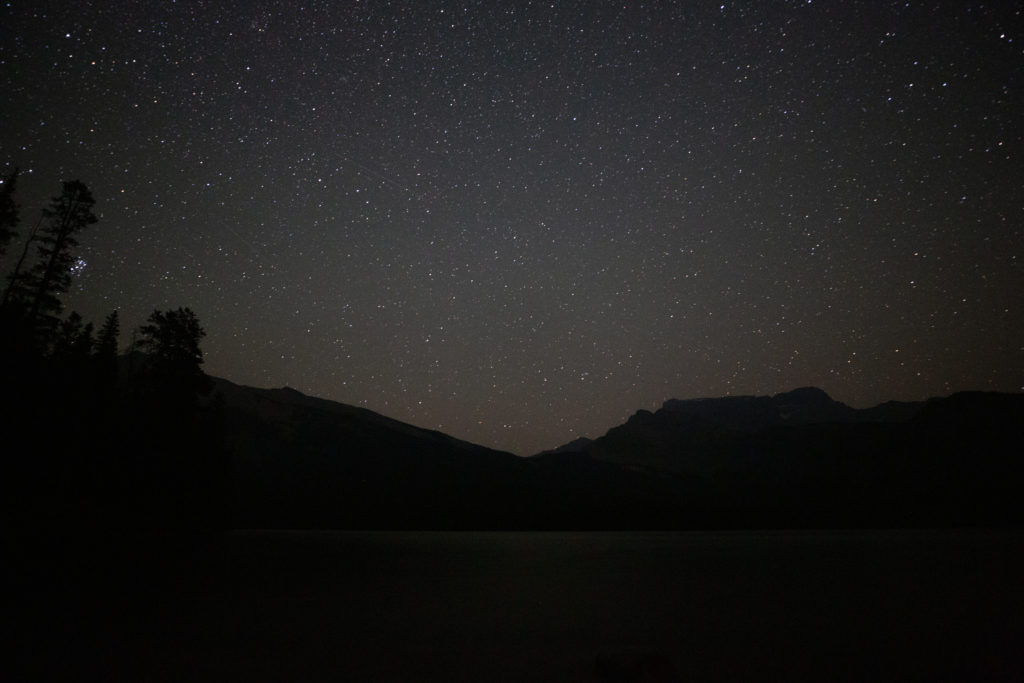
Even with the prospect of an early morning I decided to get up at 2 am to take photos of the night sky. I was hoping to see the Milky Way and the Perseid Meteor Shower. I was treated to an awesome display of shooting stars and a glorious view of the Milky Way. The Milky Way was not at a convenient location in the sky as it was off to the north side of the lake and not really over the lake. I spent a good 45 minutes taking pictures. I was fully dressed in my hiking clothes while taking the photos and I decided I would save a few minutes in the morning by just sleeping the rest of night in my hiking clothes instead of changing into and then out of my sleepwear. I am very glad I got up as this was the last clear night for several days due to smoke and rain.
Day 4 GDT Section E 2021
