August 13th, Big Springs CG to Lake Magog CG, 18 km, 760 m elevation gain, 330 m elevation loss, 7 hrs (all distances and elevation are as per the guide book, Viewranger App will vary), Section C Segment 16.
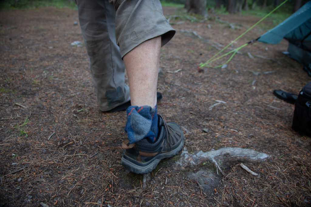
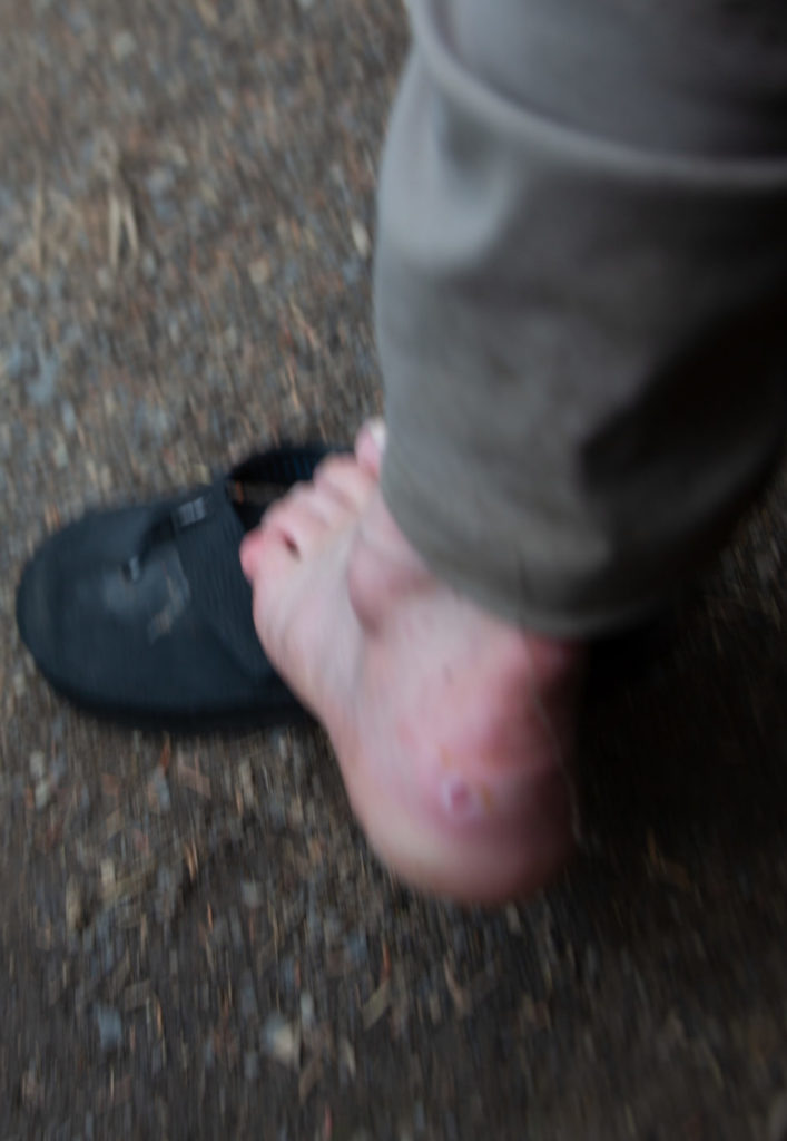
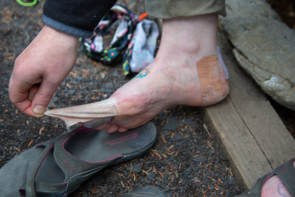
Day 2 had been a very trying day, but thankfully Day 3 was relatively short so we slept in and took our time moving once we got up. My feet were very sore. I was able to walk to get our food from from the bear bins (no bear hanging this time, go Parks Canada) since I could wear my flip flops around camp and they did not rub on any of my blisters. I was unsure of how far I was going to be able to walk today. We discussed different options including me heading back to Mt Shark parking lot and leaving the hike to rejoin after a few days rest at Sunshine Village. Micah was not happy about splitting up but they were determined to continue on to Mt Assiniboine where we were to spend two nights. I experimented with different layers of padding in my shoes. I tried a spare pair of socks to provide some extra cushioning on my heels and declared myself fit to continue with the hike. I would reevaluate once we arrived at Marvel Lake on whether I would continue to Mt Assiniboine. Once past Marvel Lake I was closer to camping at Assiniboine then to Mt Shark parking lot, and we did have a zero day coming up tomorrow when I would have an opportunity to rest my feet.
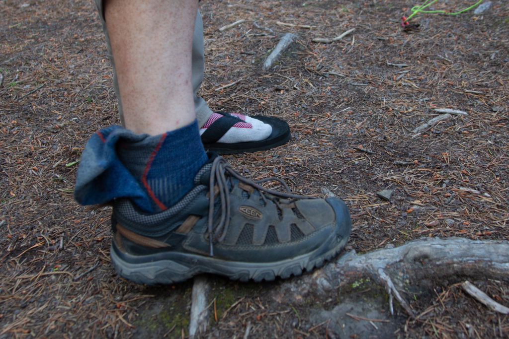
To compound my discomfort I suffered some sort of reaction to my neoprene knee sock that I hike in. When I woke up my right knee was covered in zits/pimples on the side and all around the back. While not painful the zits went right across the back where the knee bends and was very annoying. I decided to discontinued using the knee sock. This was quite a change as the knee sock is something I had been using for several years and had never had a problem with it. My knee responded just fine without the additional support of the knee sock and I did not resume using on subsequent hikes throughout the fall.
The father/daughter duo had arrived before us last night. We gave them some of blister tape hoping it would help. We passed them on the trail after a couple of km’s and the daughter had already taken off her shoes and was walking in her sandals. They were going to pass by Mt Assiniboine and stay at Lake Og. We did not see them again on the trip and figured they exited at Sunshine Villiage. They had talked about rejoining the trail at the Rockwall in Kootenay but it really was not looking very good for them. We were packed up and out of the campground at 9:45 am.
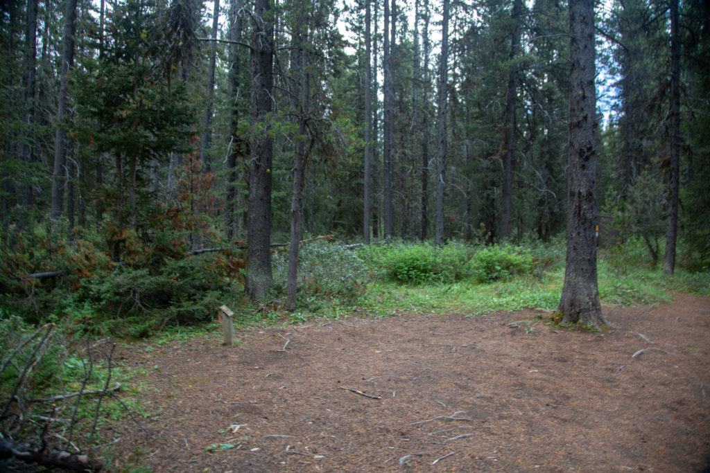
While my feet were sore we did set off at a good pace down the trail. According the ViewRanger App we were traveling at a steady 5+ kph. Our quick pace was halted when I ran into another former student of mine. This student was a recent grad having crossed the stage in the schools Covid outdoor graduation ceremony in June. She was working at the lodge at Mt Assiniboine and was on her way home after having wild camped near Lake Gloria the previous night. We spent a good 25 minutes chatting before saying our goodbyes.
Micah’s note: You can’t go anywhere with this guy. Middle of the goddamn backcountry and it’s like a mom in a grocery store running into the neighbours. It feels like he knows every person under thirty from the Bow Valley.
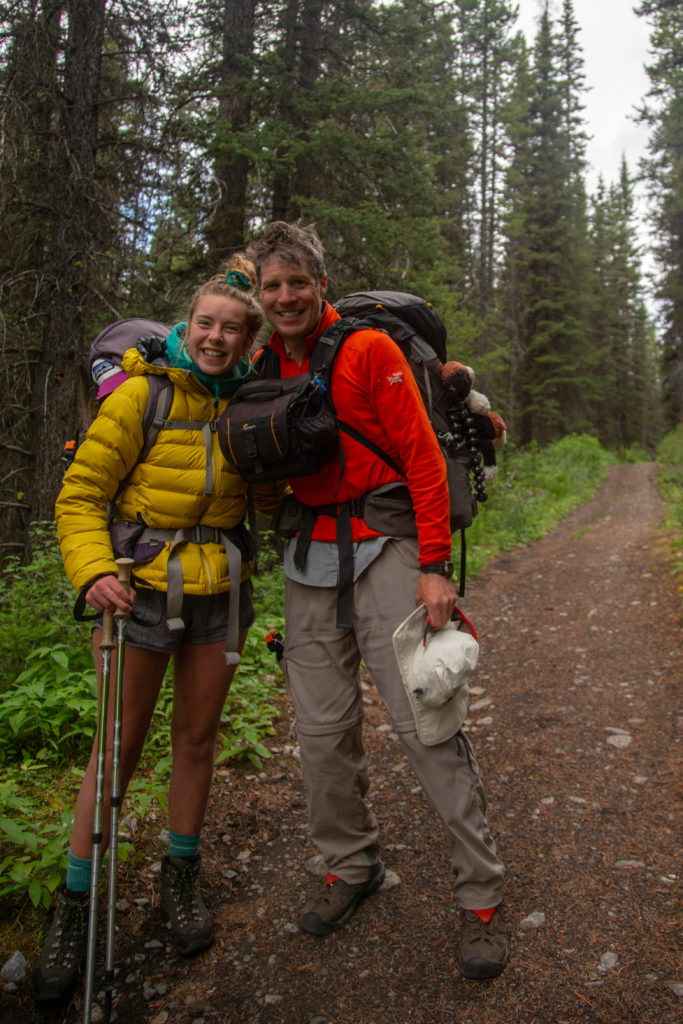
Off down the trial again. I was feeling OK but not great. We arrived at Marvel Lake CG at 11:10 am. The naming of the campground is one of my pet peeves with Parks Canada; it takes about 20 minutes to get from the campground to Marvel Lake. I feel if you name the campground after a certain feature that feature should be visible from the campground. We continued through the campground and hiked straight past Marvel Lake. On our trip to Mt Assiniboine in 2019 we stopped and had a lovely breakfast by a mirror smooth Marvel Lake. This time the water was choppy and the sky a little cloudy so there was not much motivation to stop. While my feet hurt it was a dull constant pain and not nearly enough to warrant turning back so without making a conscious decision I committed to continuing on with the hike.
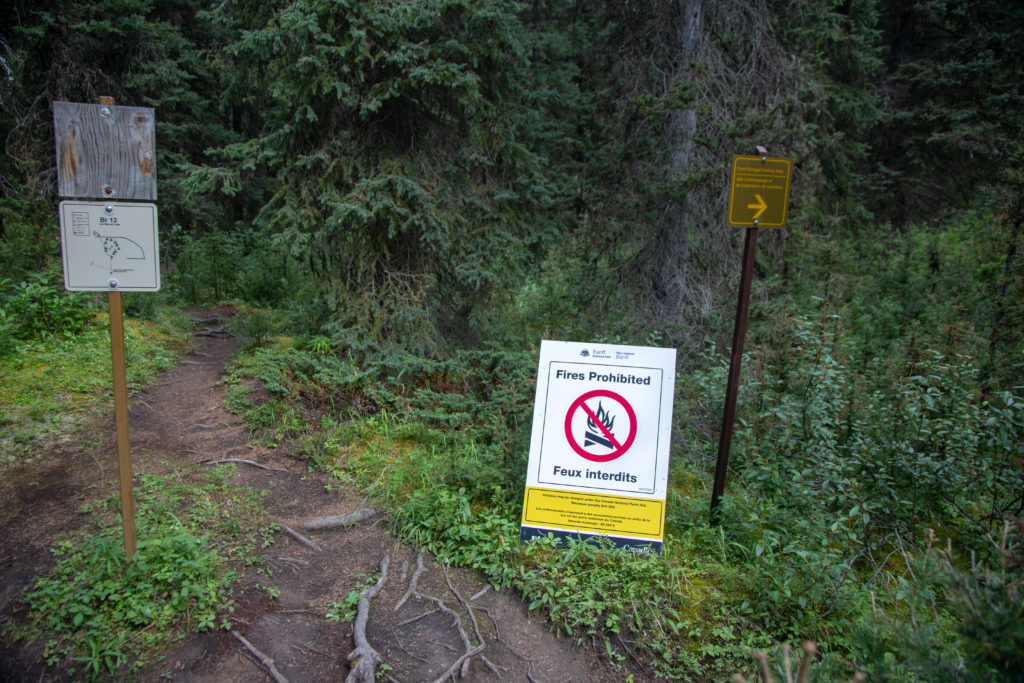
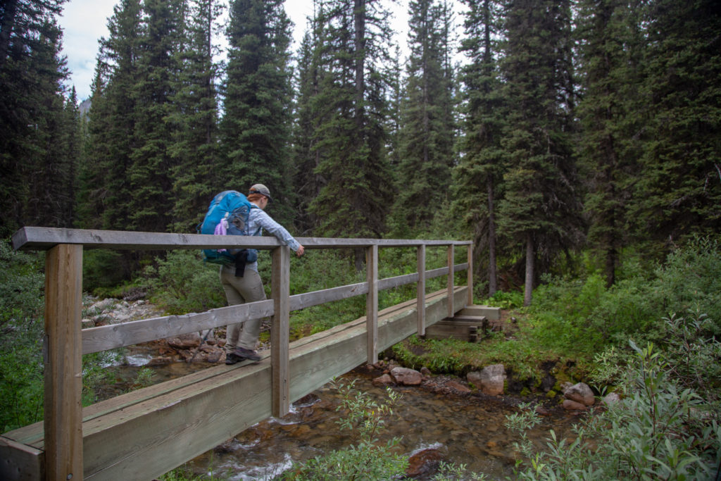
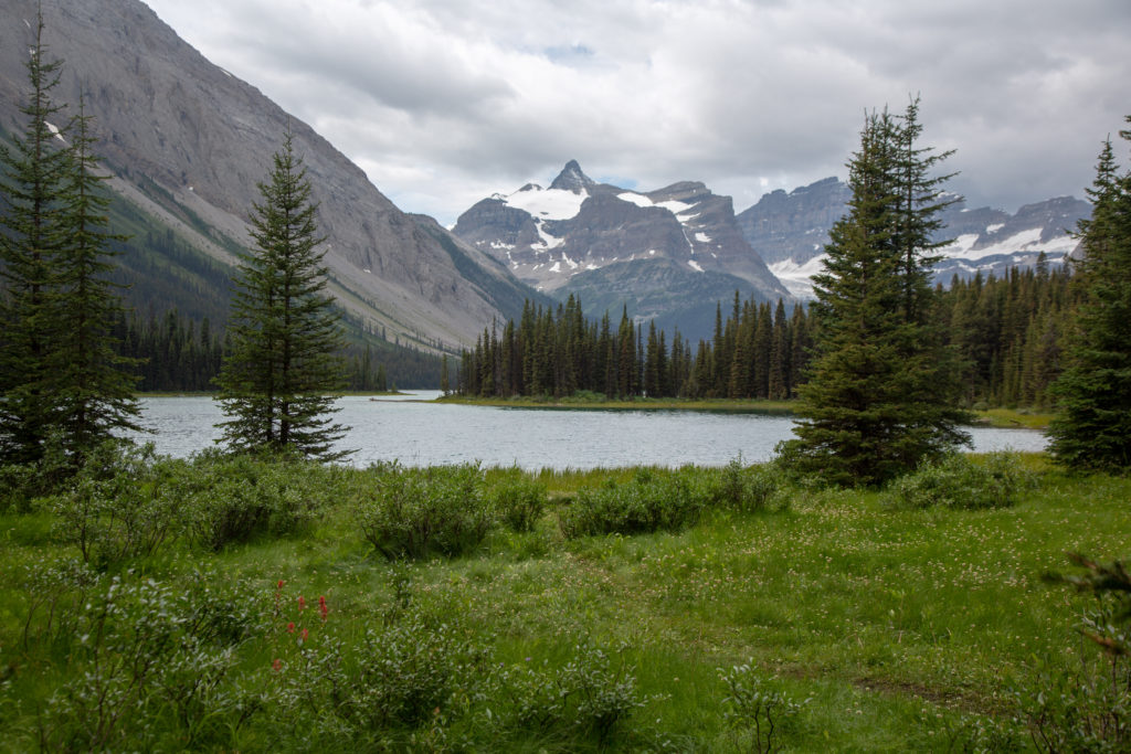
It is 1.5 km from Marvel Lake to the Bryant Creek Junction where we would turn left and steadily gain altitude as we walk the length of Marvel Lake. We soon ran into our first group coming from Assiniboine. They were a large group who had stopped for a break and spread across the trail making it inconvenient to pass by with any sort of distancing. We stopped for lunch in a shady spot in amongst some trees. We hauled ourselves up the slope so that people could pass by with comfort. Lunch was a little less than half an hour. We continued on our way and arrived at the junction to Wonder Pass at 1:45 pm.
Micah’s note: As we were walking along this stretch we got to talking—about copyright law, I think—and as dad started to tell a story about some musicians who did a tribute song, I got the strangest sense of deja vu. When I mentioned it to dad we reflected back and eventually realized we’d had nearly the exact same conversation the last time we’d hiked through there. I guess the trail triggered some subconscious memories to spark that conversation, even though we hadn’t consciously remembered it! Weird stuff.
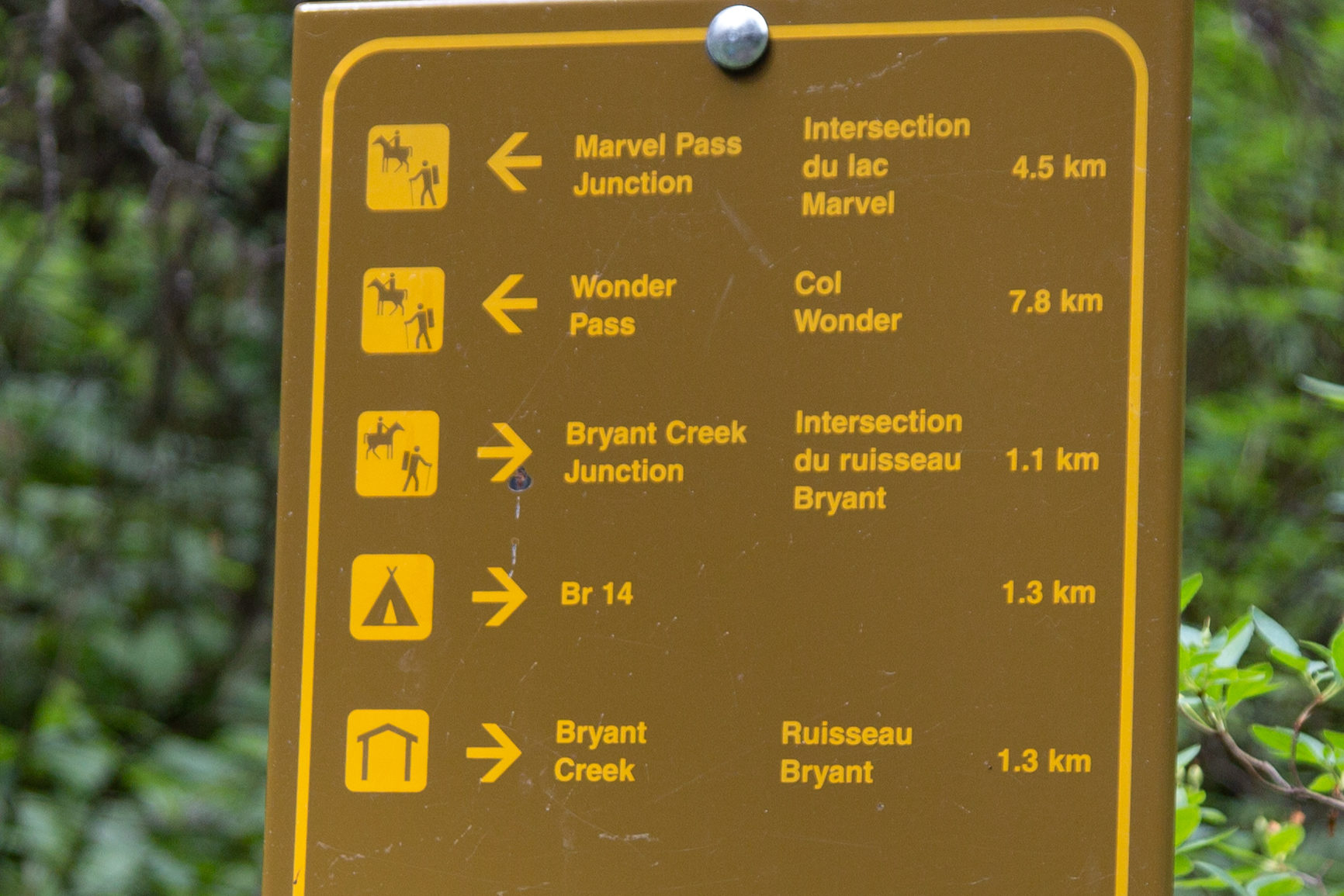
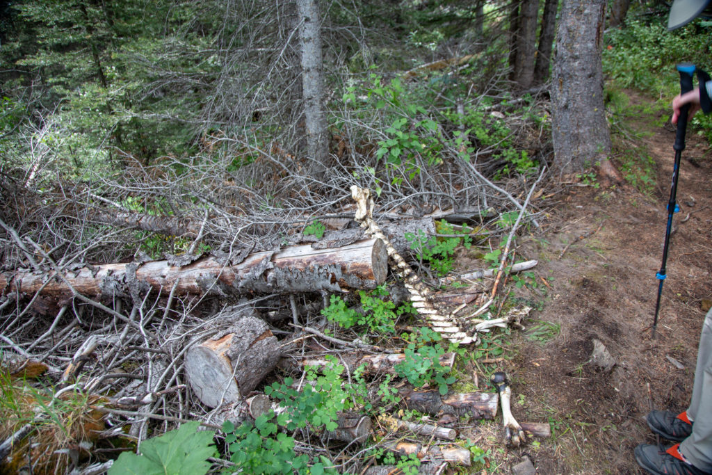
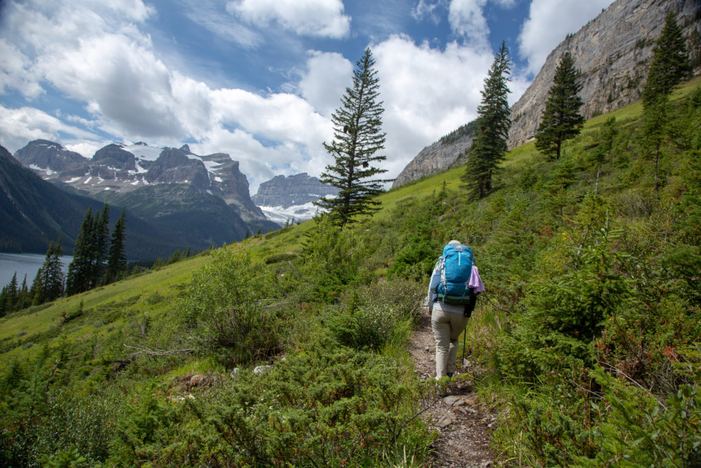
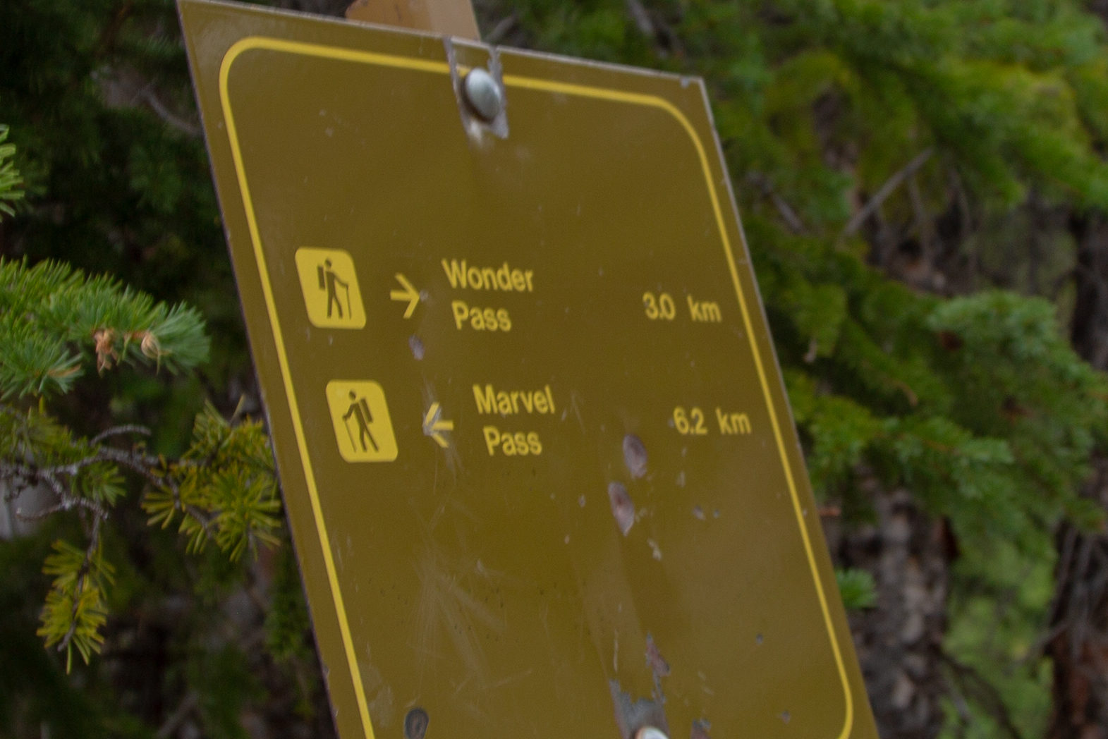
The hike up Wonder Pass is quite steep at first but the trail utilizes switchbacks to lessen the grade. Halfway to the pass the trail levels out and leaves the forest and entering the high alpine. Wonder Pass is very wide which helps make you feel very small which adds to the sense of “wonder” at where you are. Maybe that is why they named it Wonder Pass. There are a couple of trails that branch off and lead to amazing viewpoints over the valley with Marvel Lake. If you continue just beyond Marvel Lake you would come to Lake Gloria an amazing example of an turquoise alpine lake. We had explored one of the viewpoints on our previous visit so we decided we would minimize our hiking time and save our feet so we kept onward to the pass.
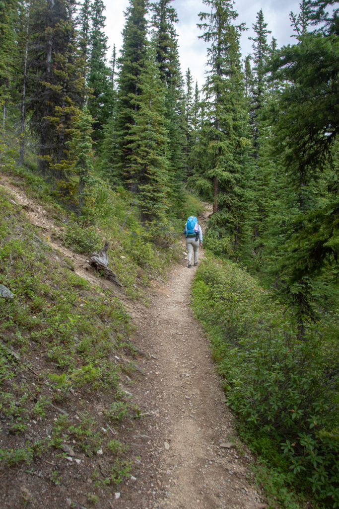
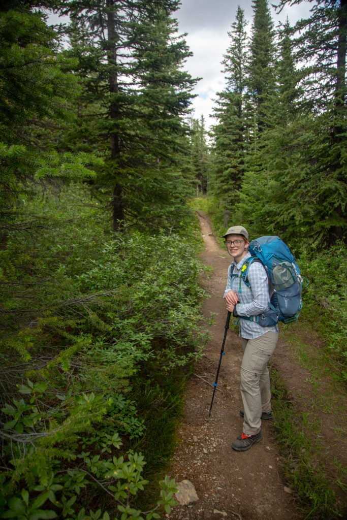
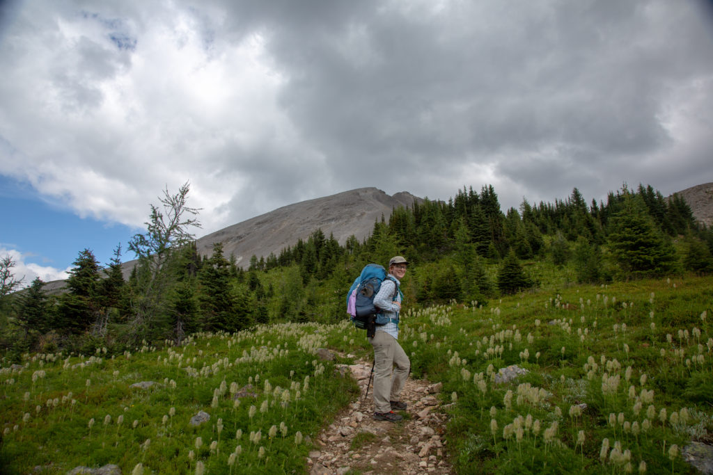
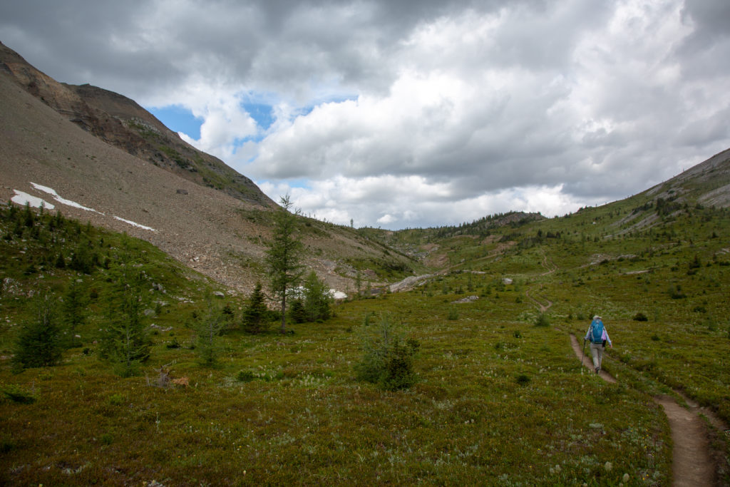
Micah’s note: The last time we were here dad caught a glimpse of a lynx disappearing into the trees, so this time I had my head on a swivel looking for animals. No luck. I am cursed to always miss the cool wildlife.
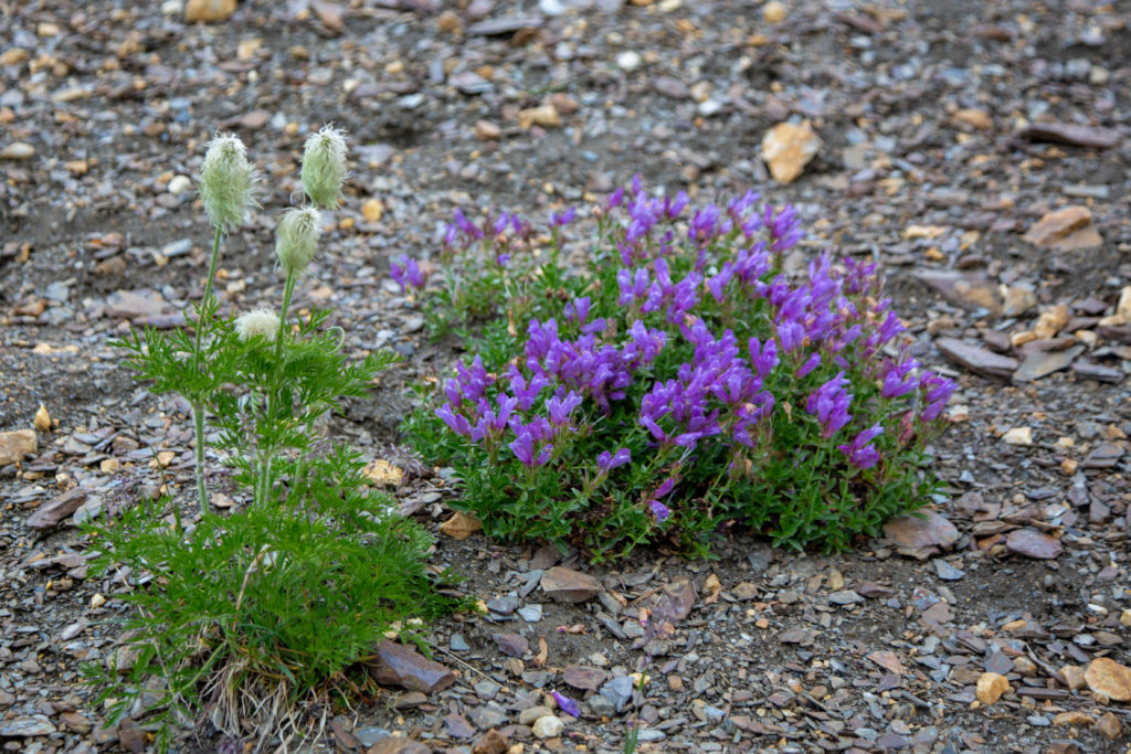
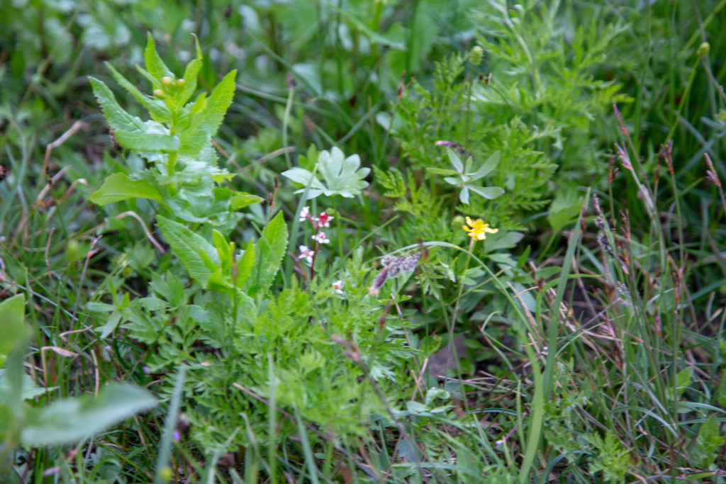
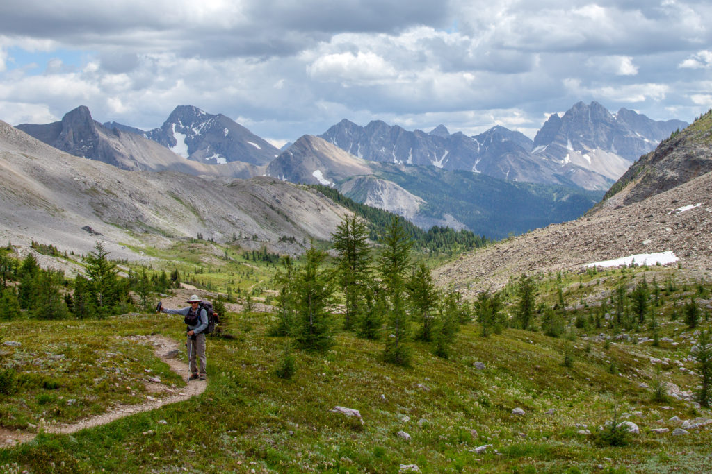
We had some fun with the camera with Micah taking overly dramatic photos of me arriving at the pass. It was just after 3 pm and we had an easy downhill hike remaining to Lake Magog, then a short hike onto the campground, our home for the next two nights.
Micah’s note: Dad was still pretty tired at this point, but I was finally feeling strong as we crested the pass. When Day 1 was so tough I’d worried that I’d lost my hiker legs, so I was elated that they were definitely back as I went flying up Wonder Pass. Guess that’s the perk to not having to do the additional 13km jog.
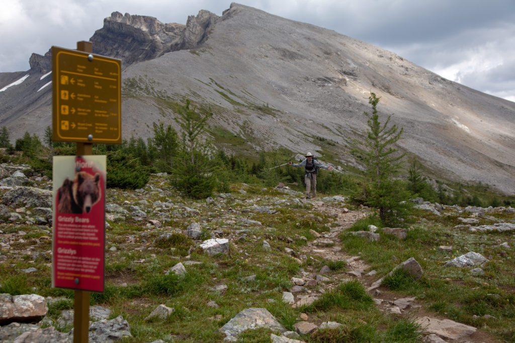
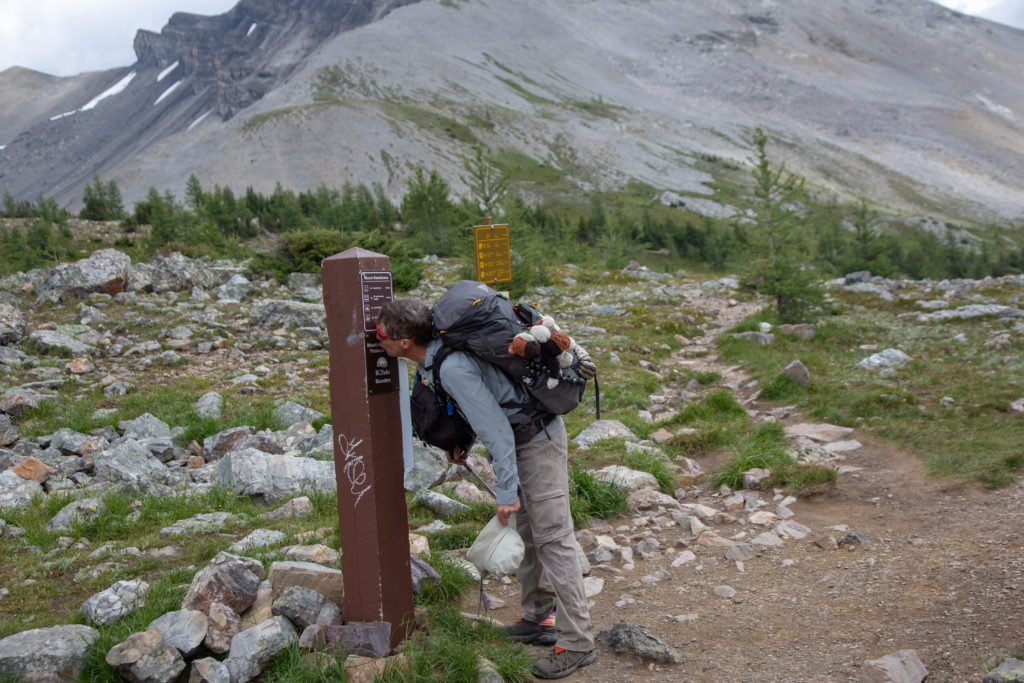
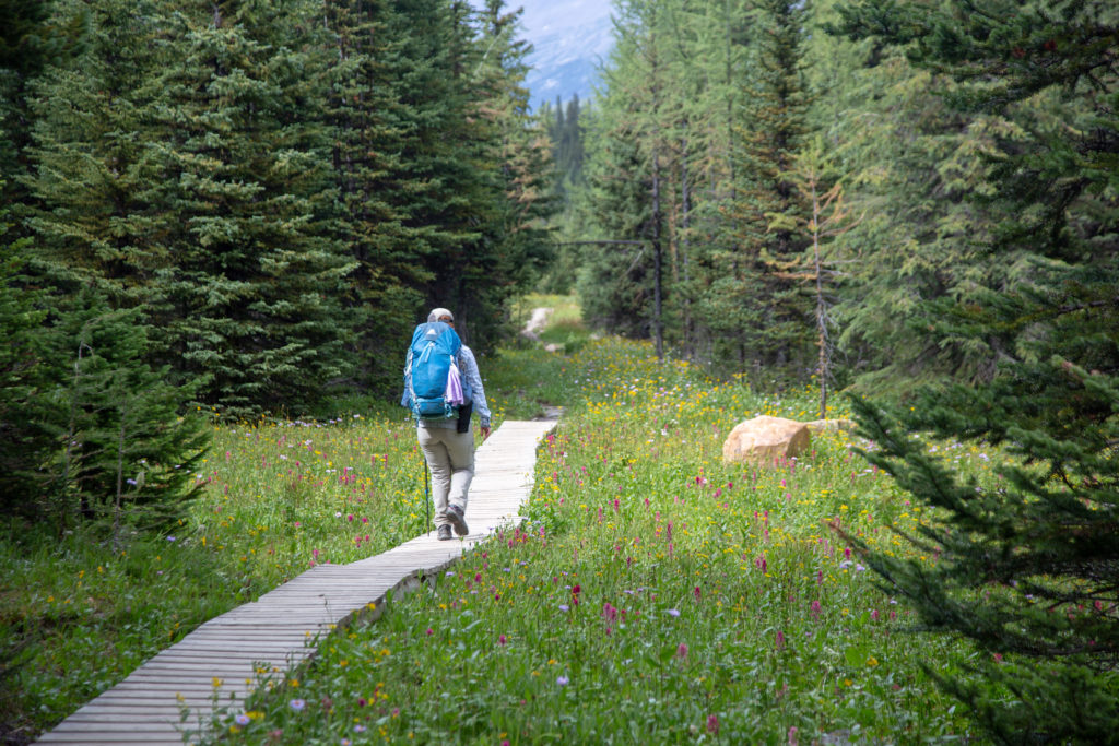
The descent to Lake Magog was a quick 3 km walk that took us down 190 m. The landscape quickly changed from the treeless meadows of the alpine back to the sub alpine and a lovely larch forest. As you close in on the Naiset Huts, BC Parks have constructed a number of boardwalks over fragile areas to minimize the impact of the high traffic the trails see from all the people staying at the various types of accommodations in the area.
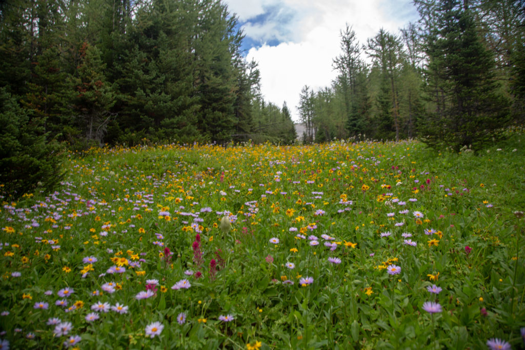
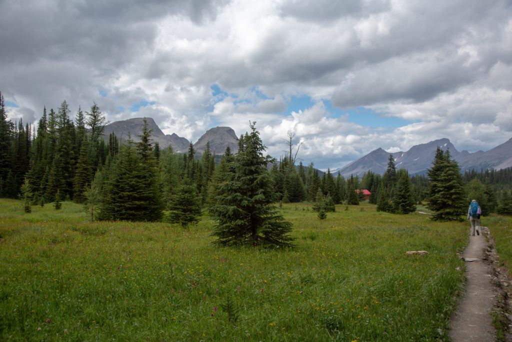
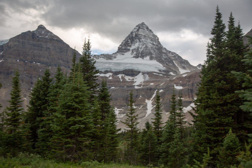
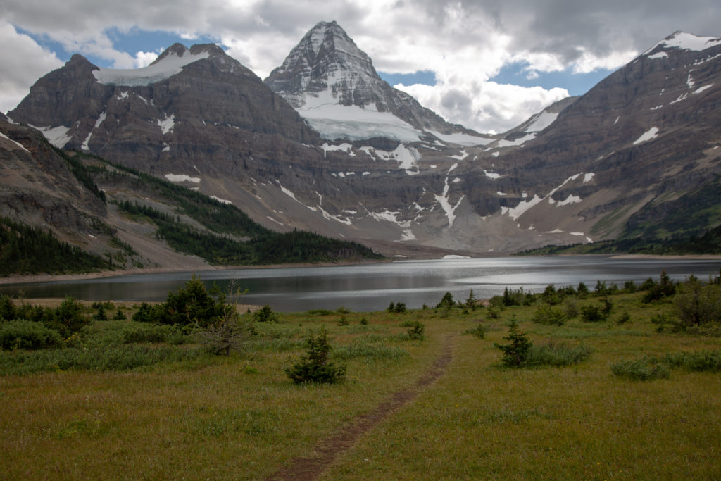
It took us 6 hrs and 15 minutest to hike the 17 km from Big Springs CG to Lake Magog and a view of Mt Assiniboine. Sore feet and all, it was so worth it.
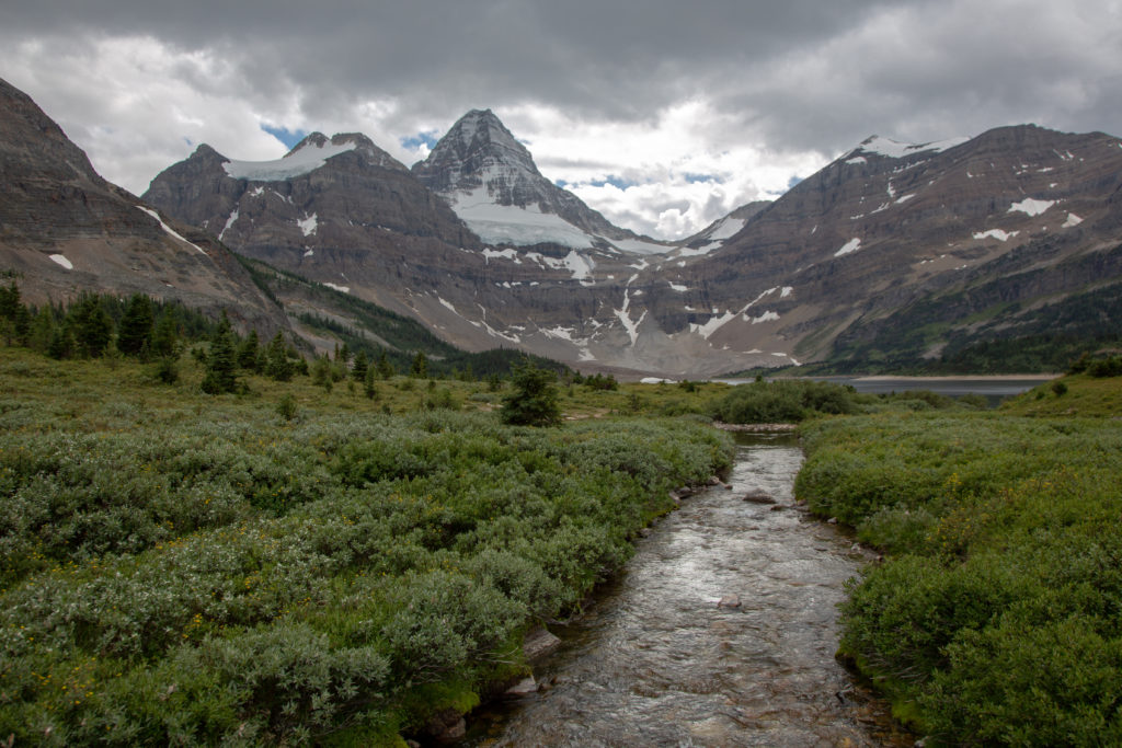
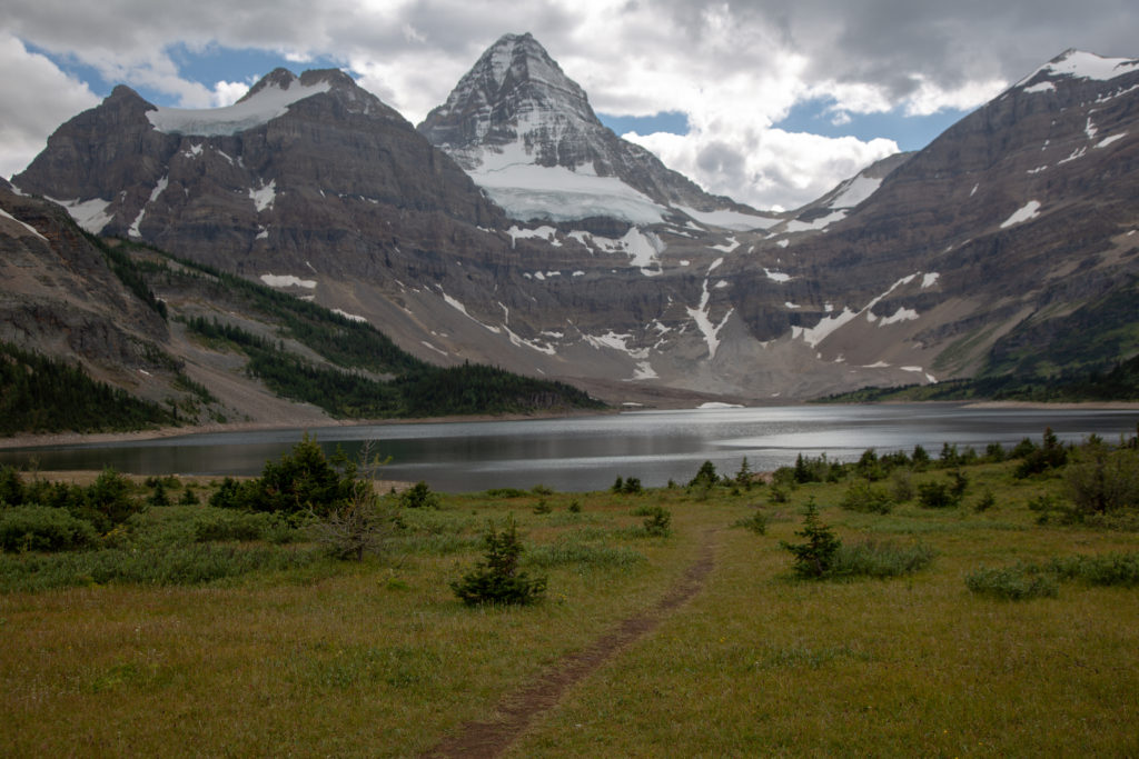
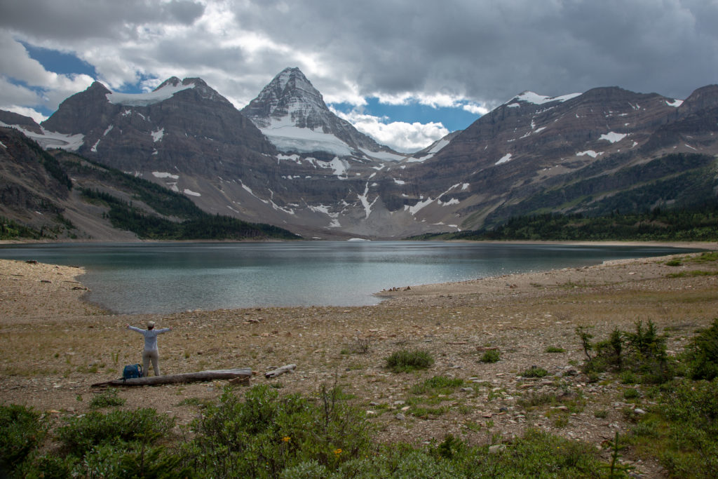
We spent 15 minutes sitting on a log taking in the view of Mt Assiniboine while snacking on chocolate.
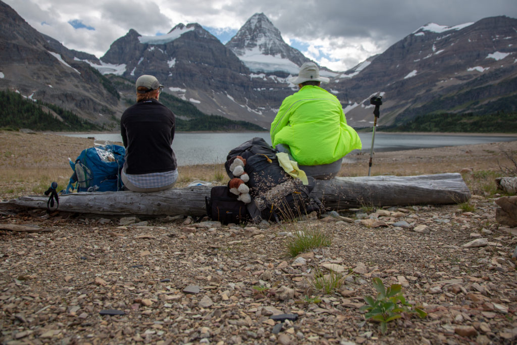
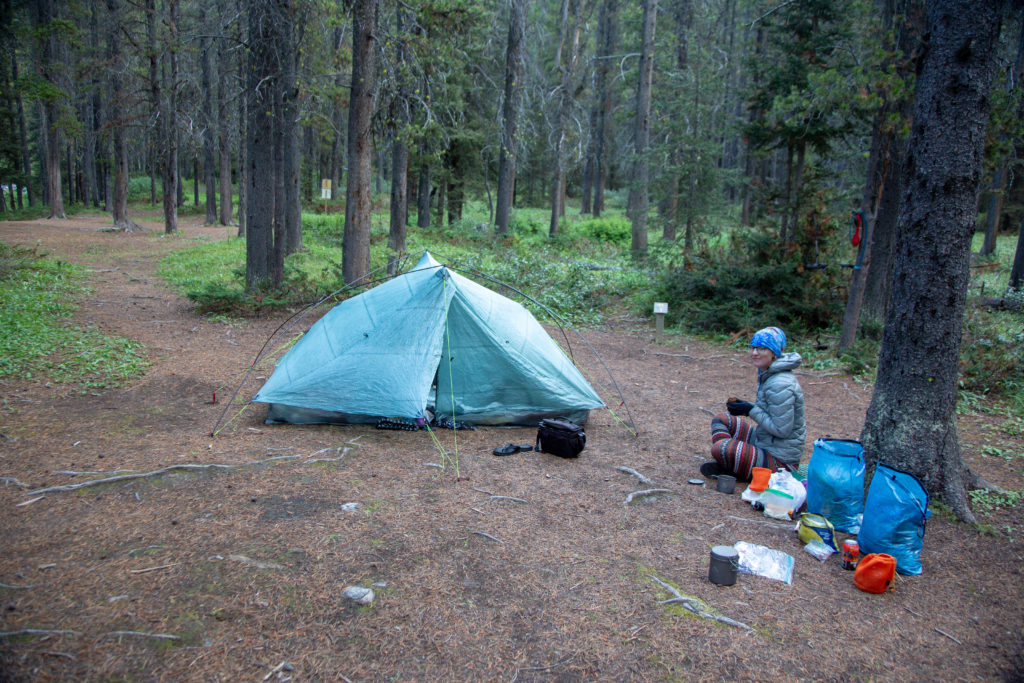
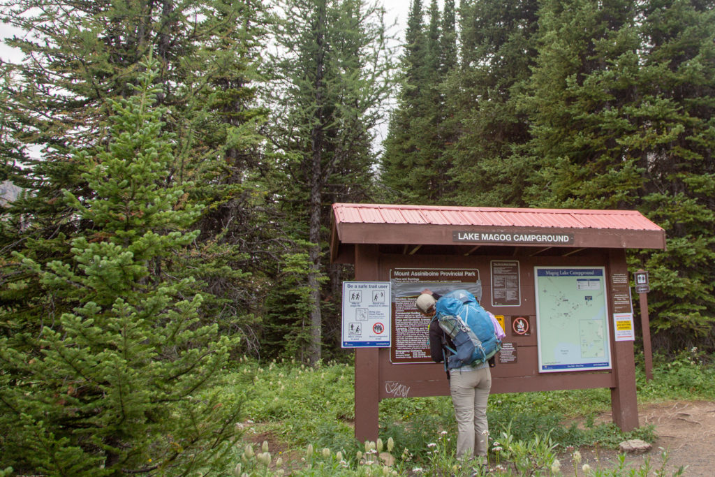
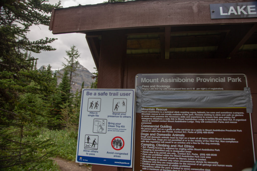
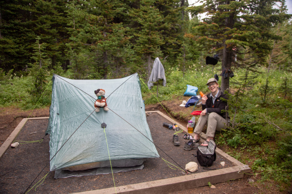
It was still just over a 1 km walk from the log to the Lake Magog CG. We arrived at the campground at 4:45 pm. The message board at the entrance has some special instructions concerning Covid. The campground is quite long, perched on a hill, a glacial terrace, at the north west end of Lake Magog. The campsites are grouped sort of like in small “pods”. We continued along the main path and up a small hill and found a pod with just one occupied site. I set up camp at an empty site while Micah went off and investigated the rest of the campground. I had a nice little chat with the campers of the occupied site. They were staying for a few days and were heading off to do some more exploring.
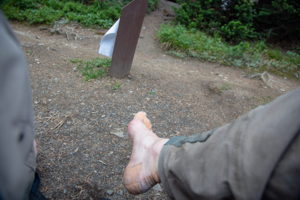
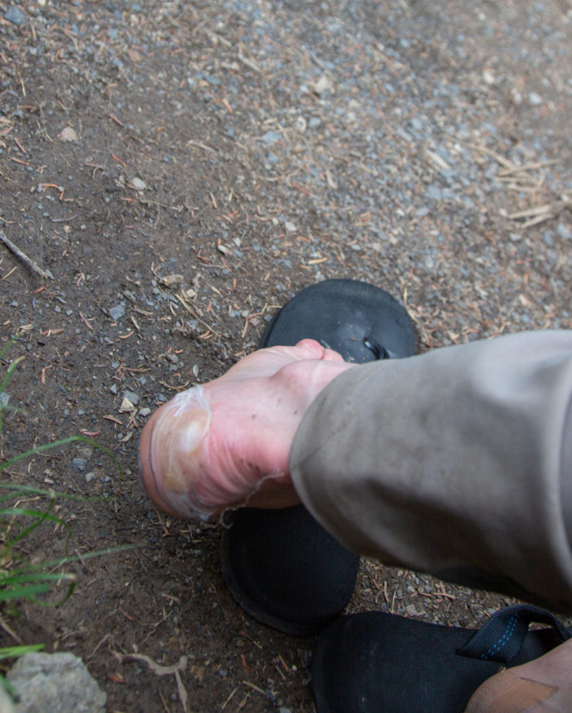
Micah came back and insisted that we move to a different site which was located very close to the entrance of the campground. We moved to the new site and set up camp and quickly started to inspect our sore feet.
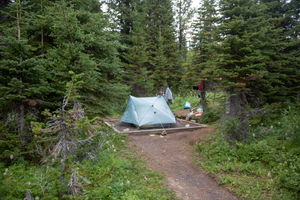
We did not have a direct view of Mt Assiniboine from our campsite, but it was just a short walk to a grand view.
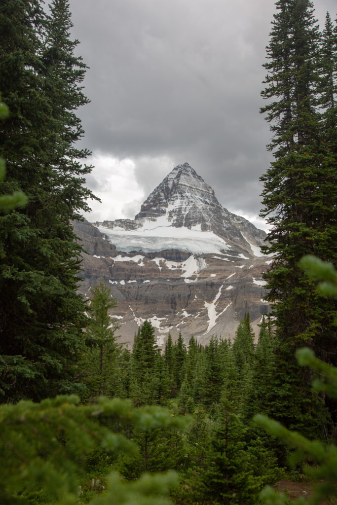
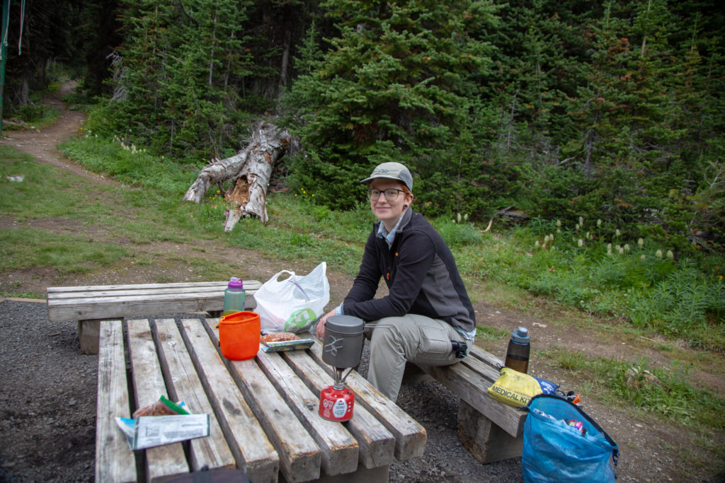
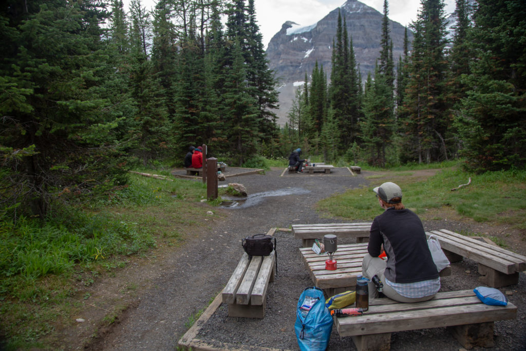
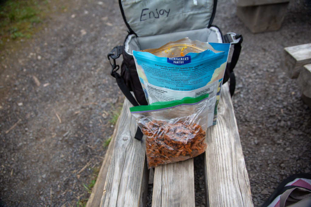
It was 6:45 pm by the time we sat down to make dinner. It was again too late and not warm enough to break open the beer, maybe tomorrow. The dining area was encircled by trees but had a nice window providing a mountain views.
