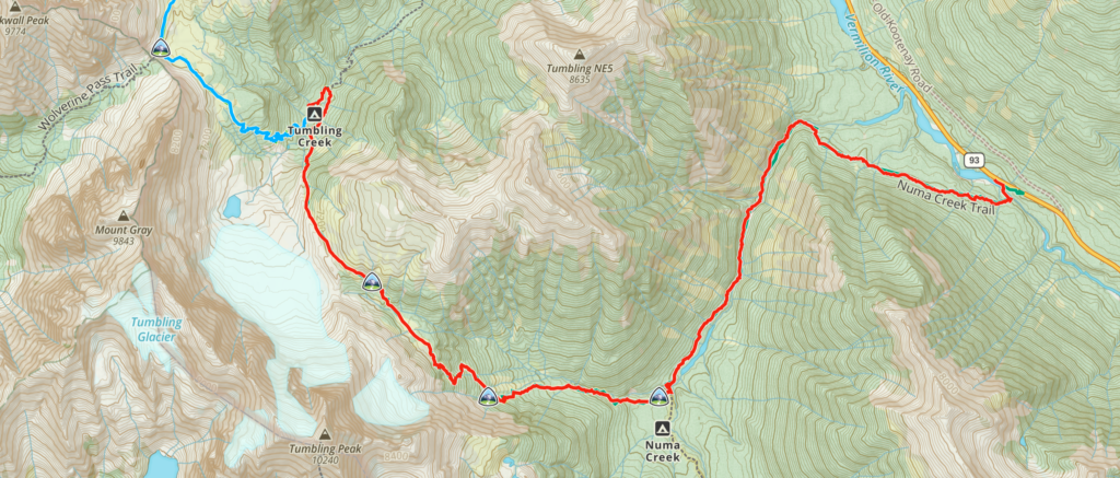
August 22nd, Tumbling Creek CG to Numa Creek TH, 14.4 km, 445 m elevation gain, 936 m elevation loss, 6 hrs 15 min.

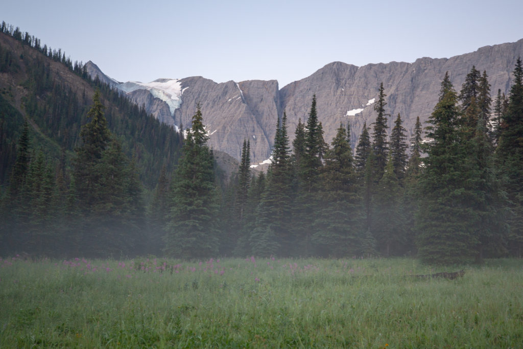
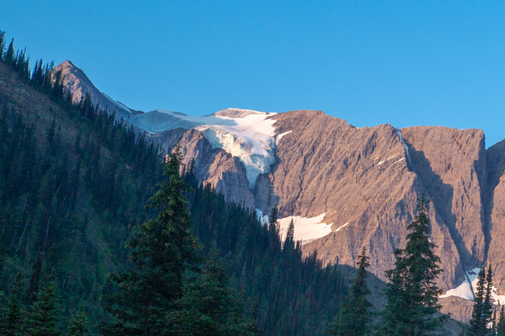
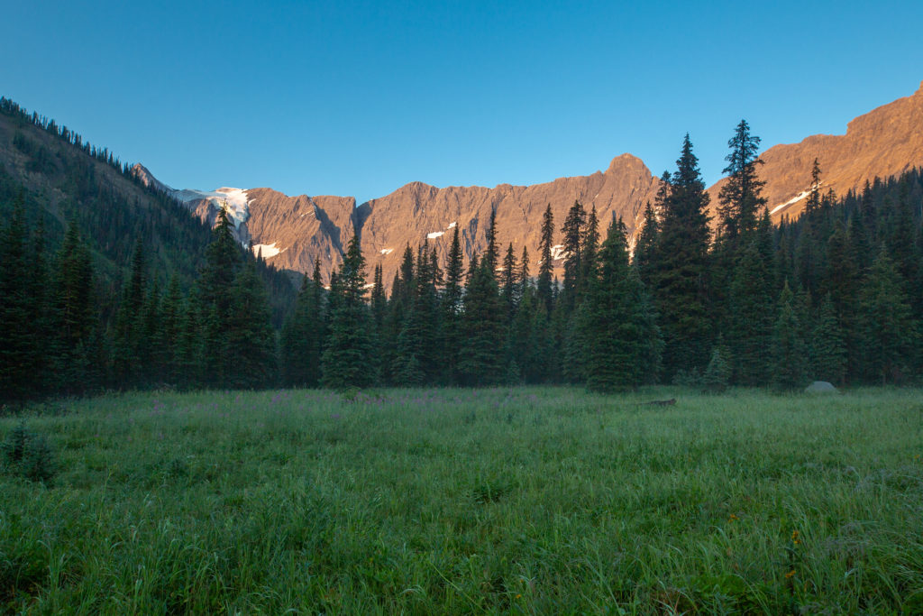
Slept very well through the night. Everything was a little damp when I woke up. Inside the tent the humidity was very high. I got out of the tent and looked around. There was some mist hanging over the meadows but the skies were a dark blue in the morning light. There were no clouds to be seen. We are headed up to Tumbling Pass today.
I woke Siobhan up at 6:20 am. There was some miscommunication between us. I thought we would tear down camp and go have breakfast so I waited for Siobhan to pack up her stuff. What I should have done was head down to the eating area and cook up the water for coffee and Siobhan’s oatmeal. This is how Micah and I do things at camp. What ended up happening was that I sat and waited while Siobhan packed up her things and then Siobhan sat and waited while I cooked the water.
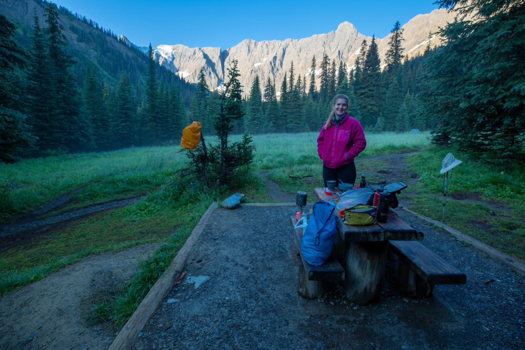
While we were having breakfast we chatted up a few of the other campers. I actually got an invite for a trip to Mt Assiniboine during the Labour Day weekend. I had to decline as Laura was headed to Toronto and I had to stay home to look after Margaux.
I had a nice chat with a couple of Americans who had come to the Rockwall for just one night. They were in Canada for a month with their wives and this was to be their one backpacking trip. Both lamented the empty campsites when the campground is full online.
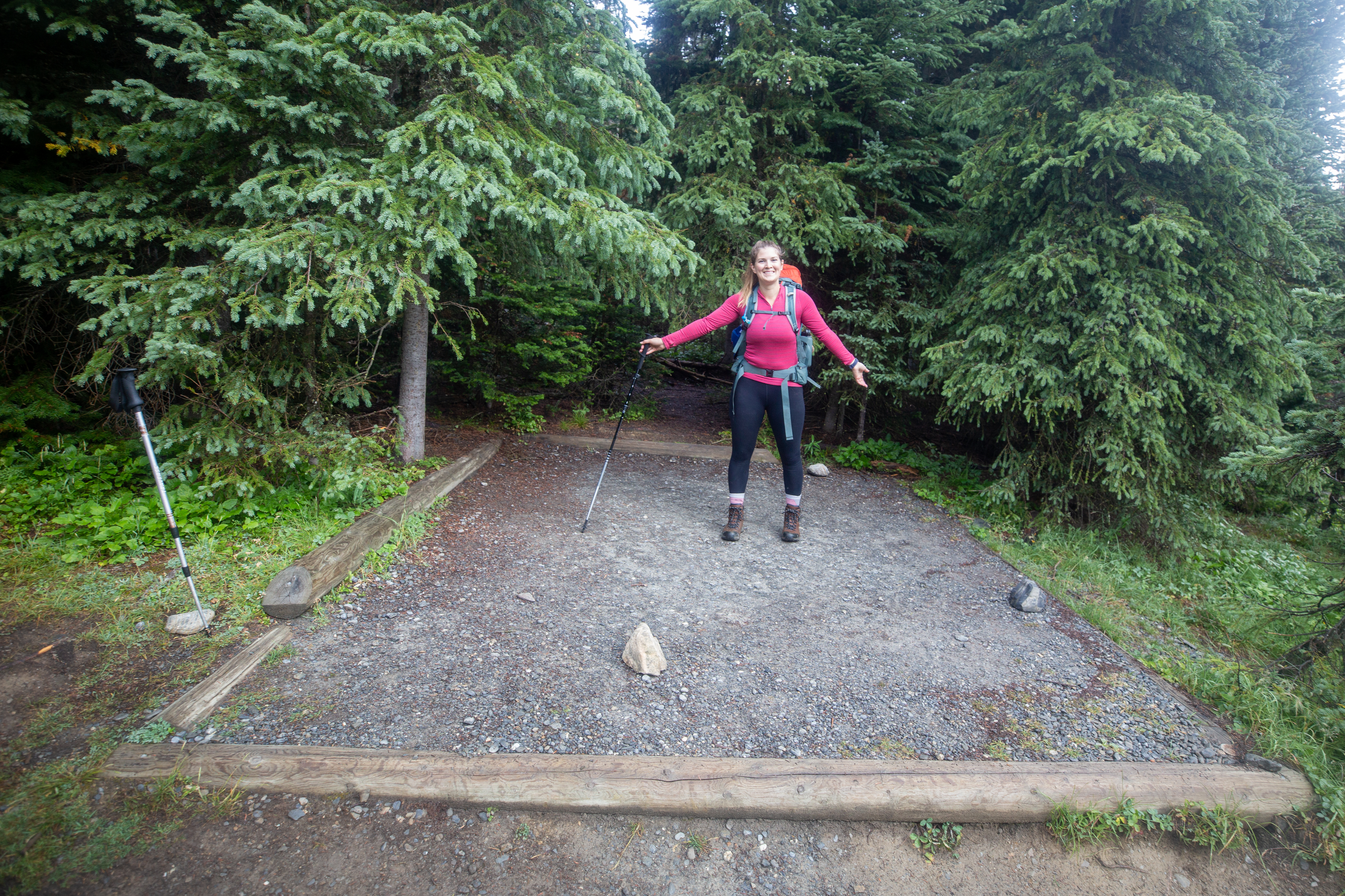
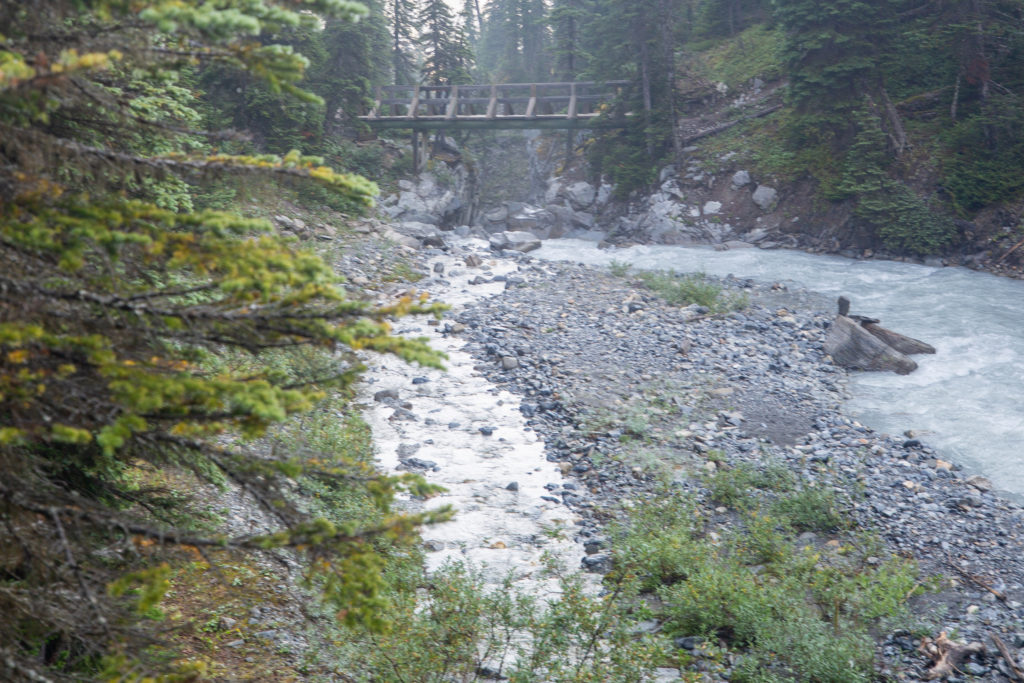
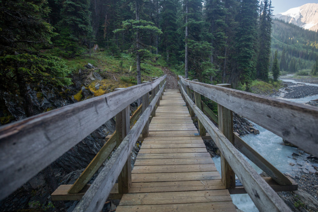
To get to Tumbling Pass from the campground you first have to walk down stream to a bridge to cross over the creek and then walk back up the other side of the creek. It takes about 10 minutes of hiking to arrive on the other side of the creek level to where our campsite was.
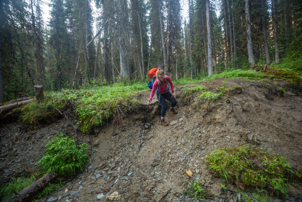
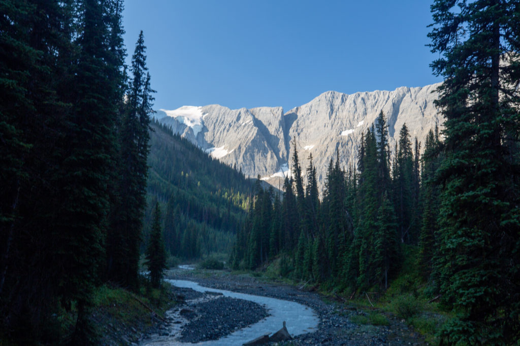
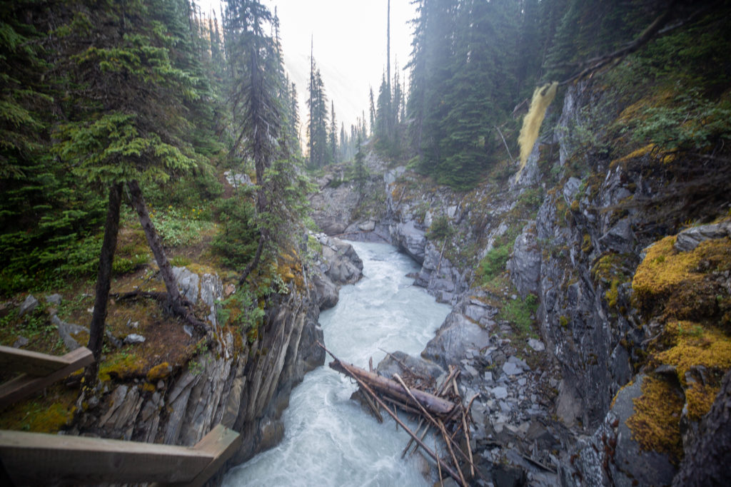
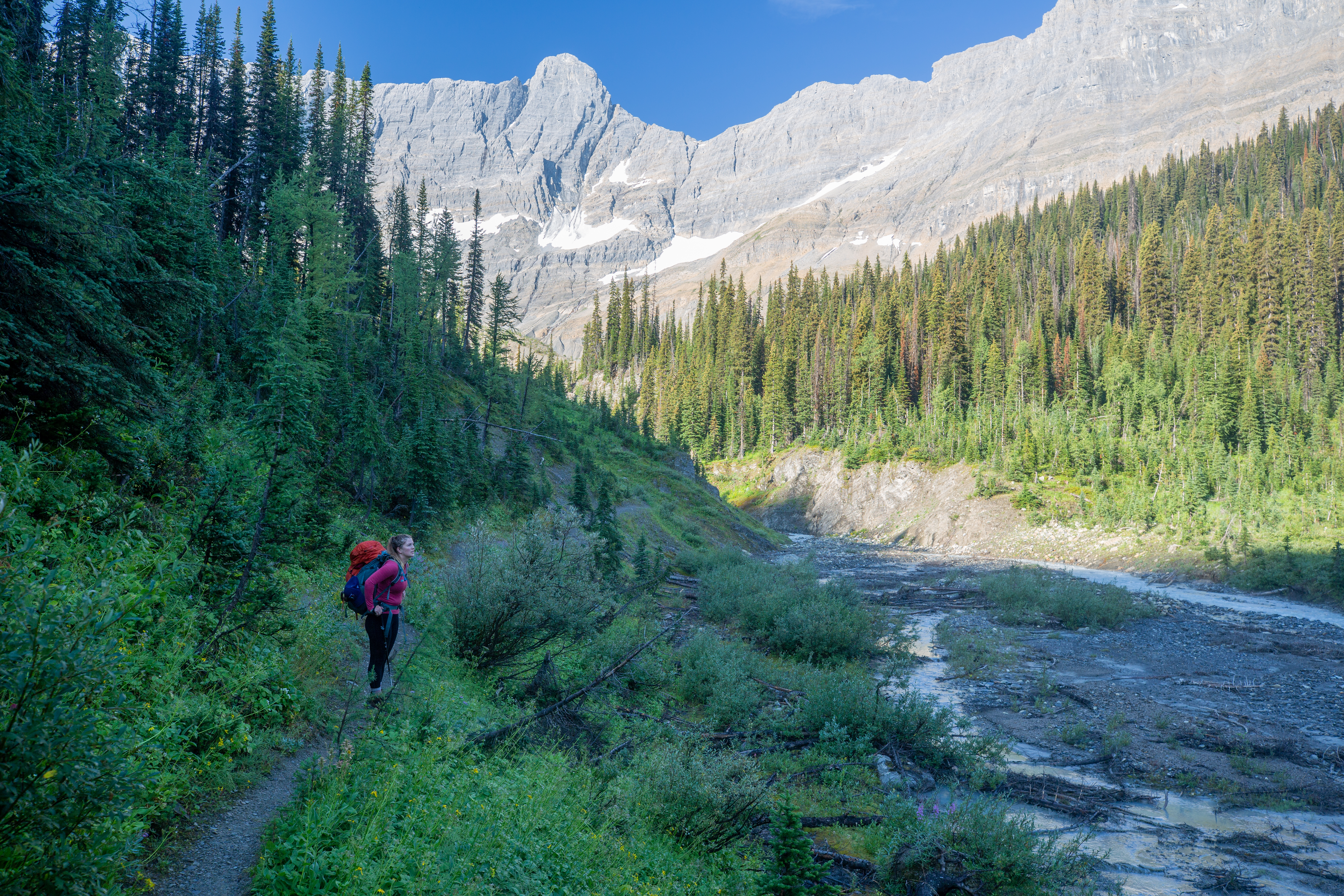
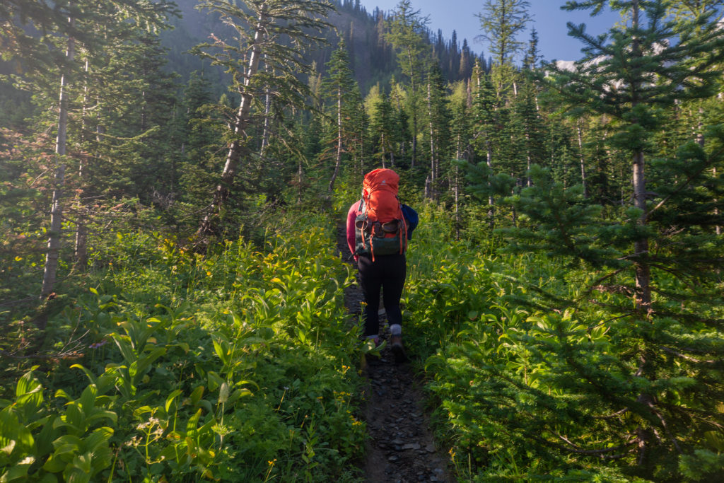
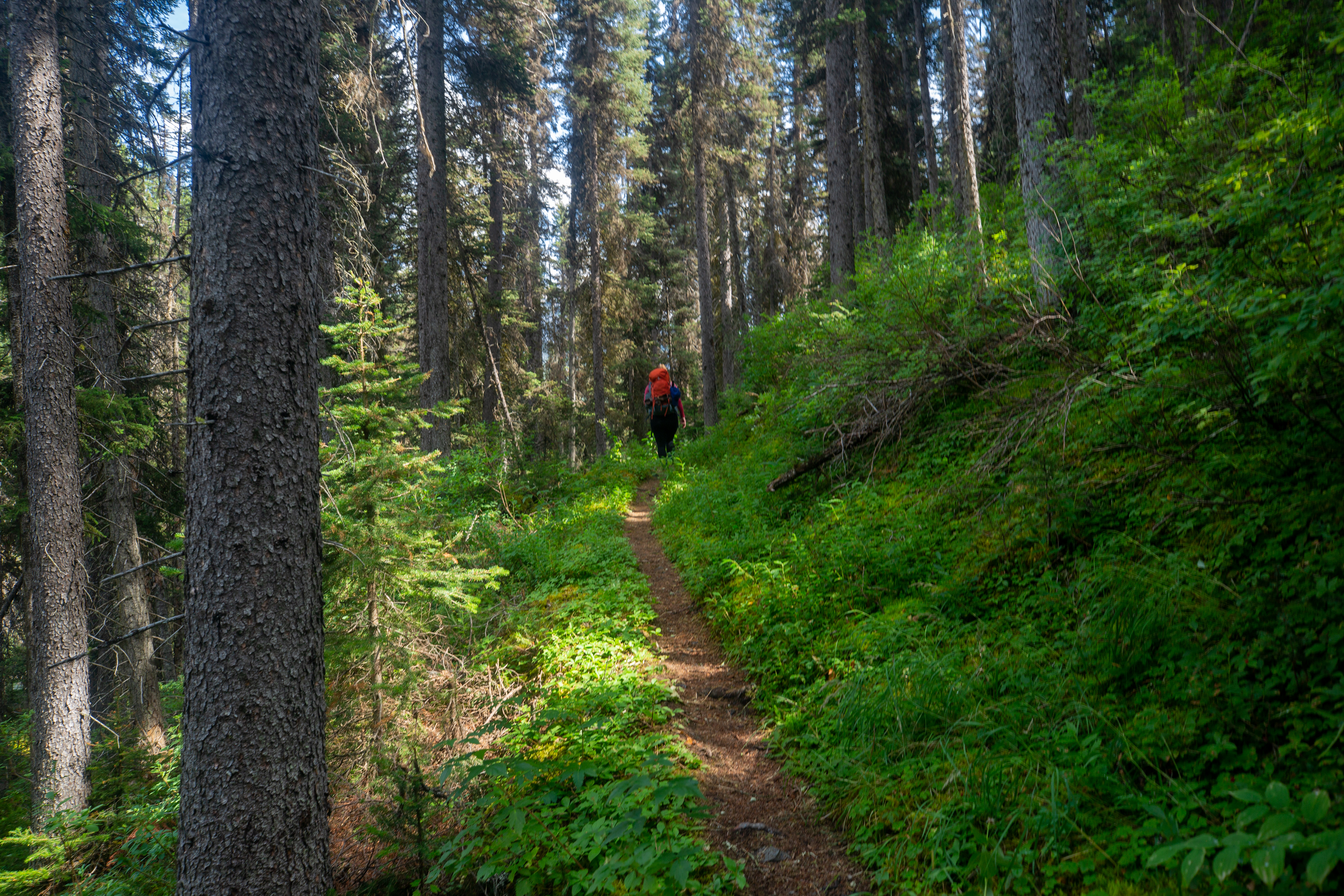
Once the trail was back level with the campground it takes a hard left into the hillside and begins a series of switchbacks going uphill quickly. As soon as the trail started to go up my legs just stopped. Looking at the GPS data later our speed dropped to about 1.5 km/h on the climb. I pushed on knowing that it really was not that far to the pass and after that it would be all downhill to the car.
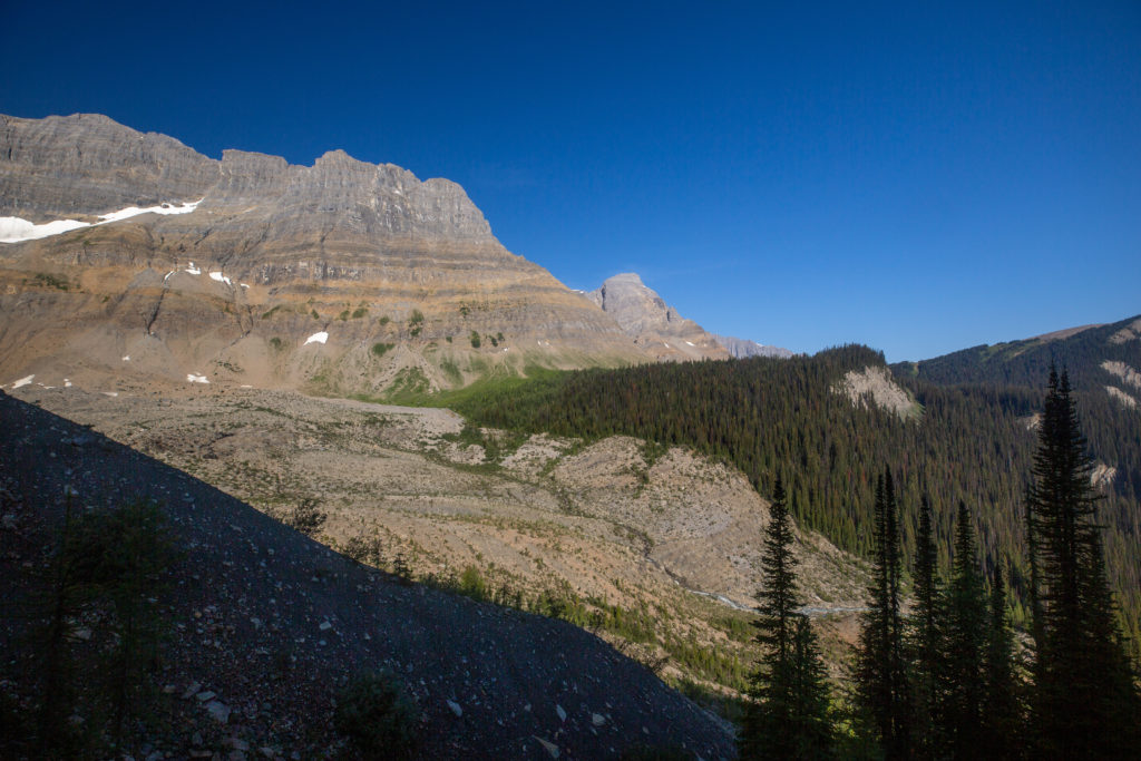
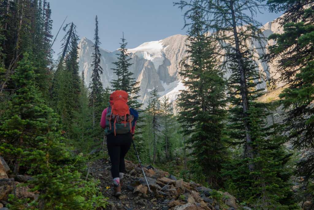
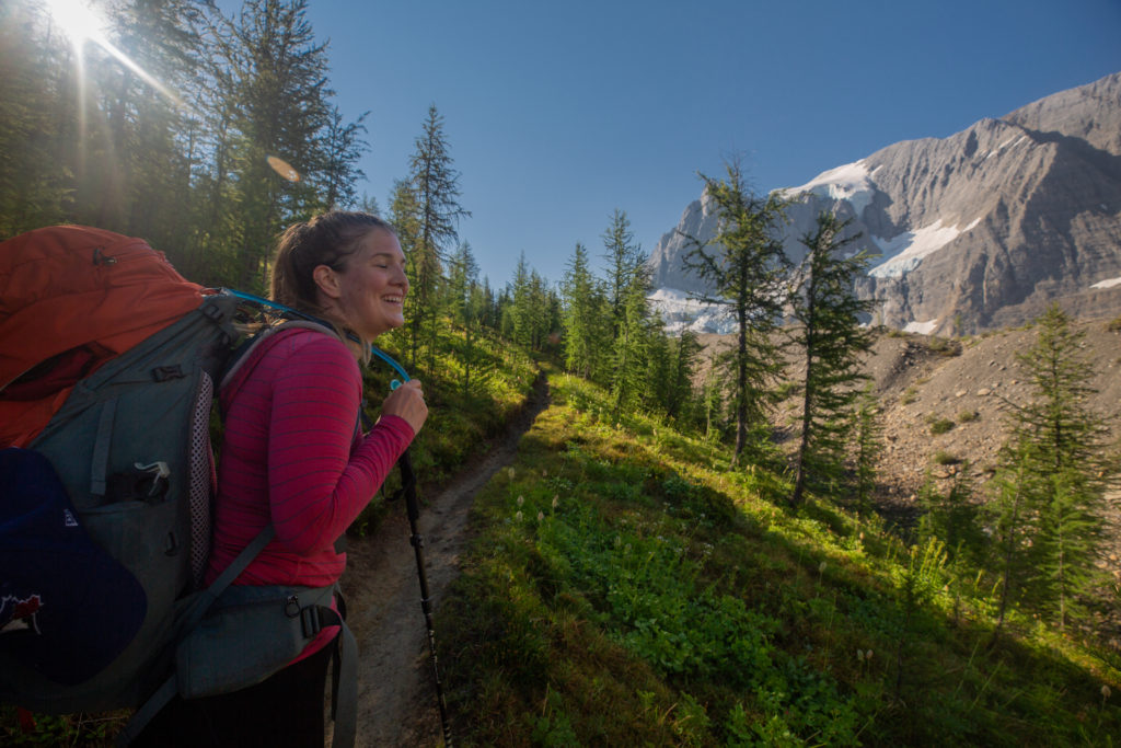
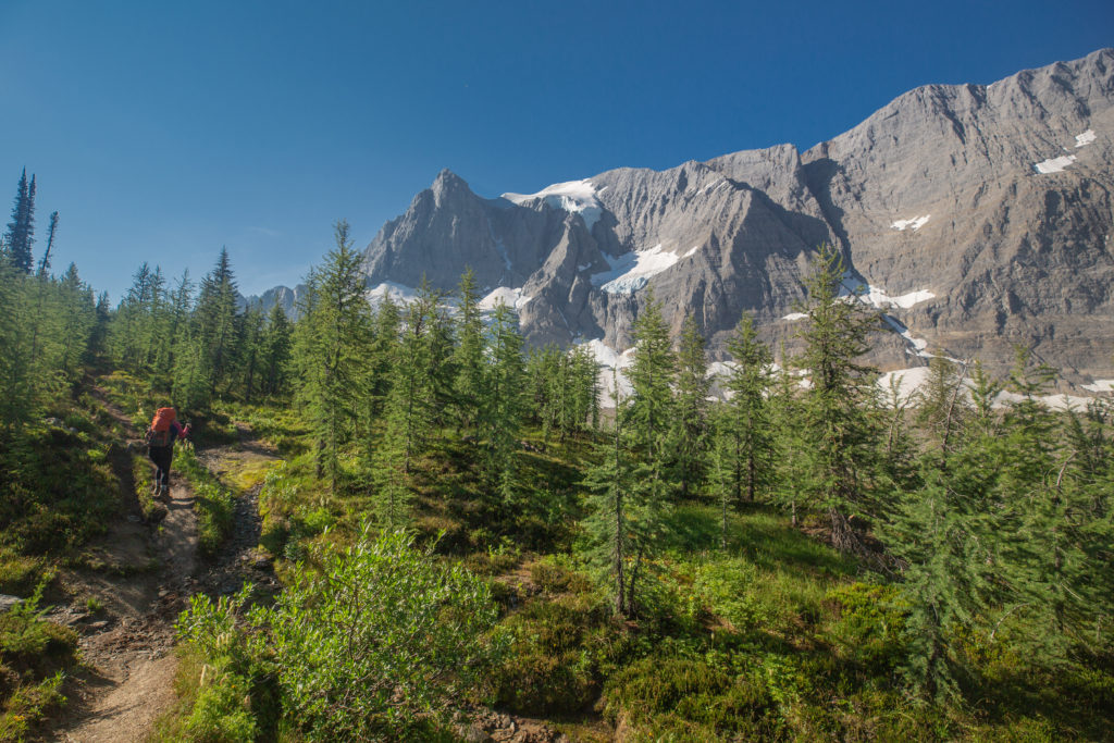
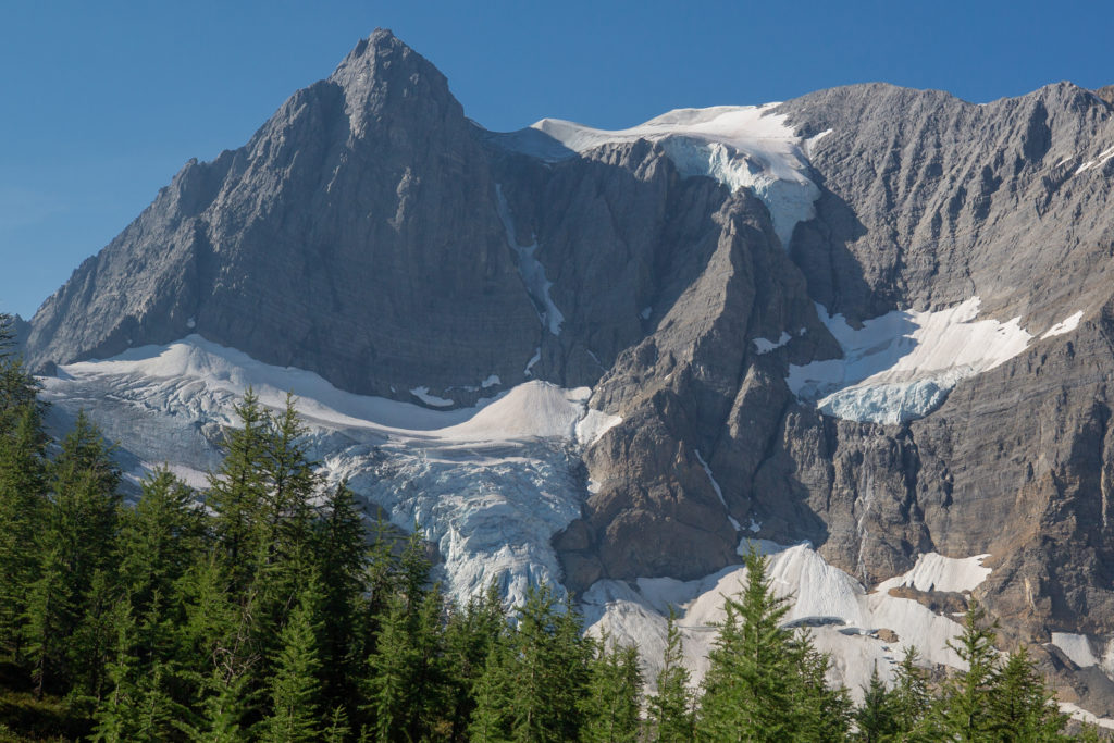
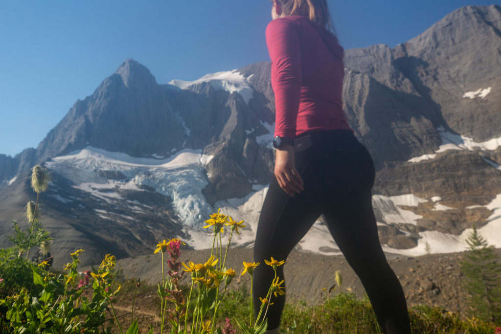
It only took us 1 hr 10 minutes to hike to Tumbling Pass. This was the icing on the cake for the trip. The blue skies and view of the Rockwall and the glacier was a feast for the soul. Being in no rush we spent over 30 minutes snacking and just taking in the views.
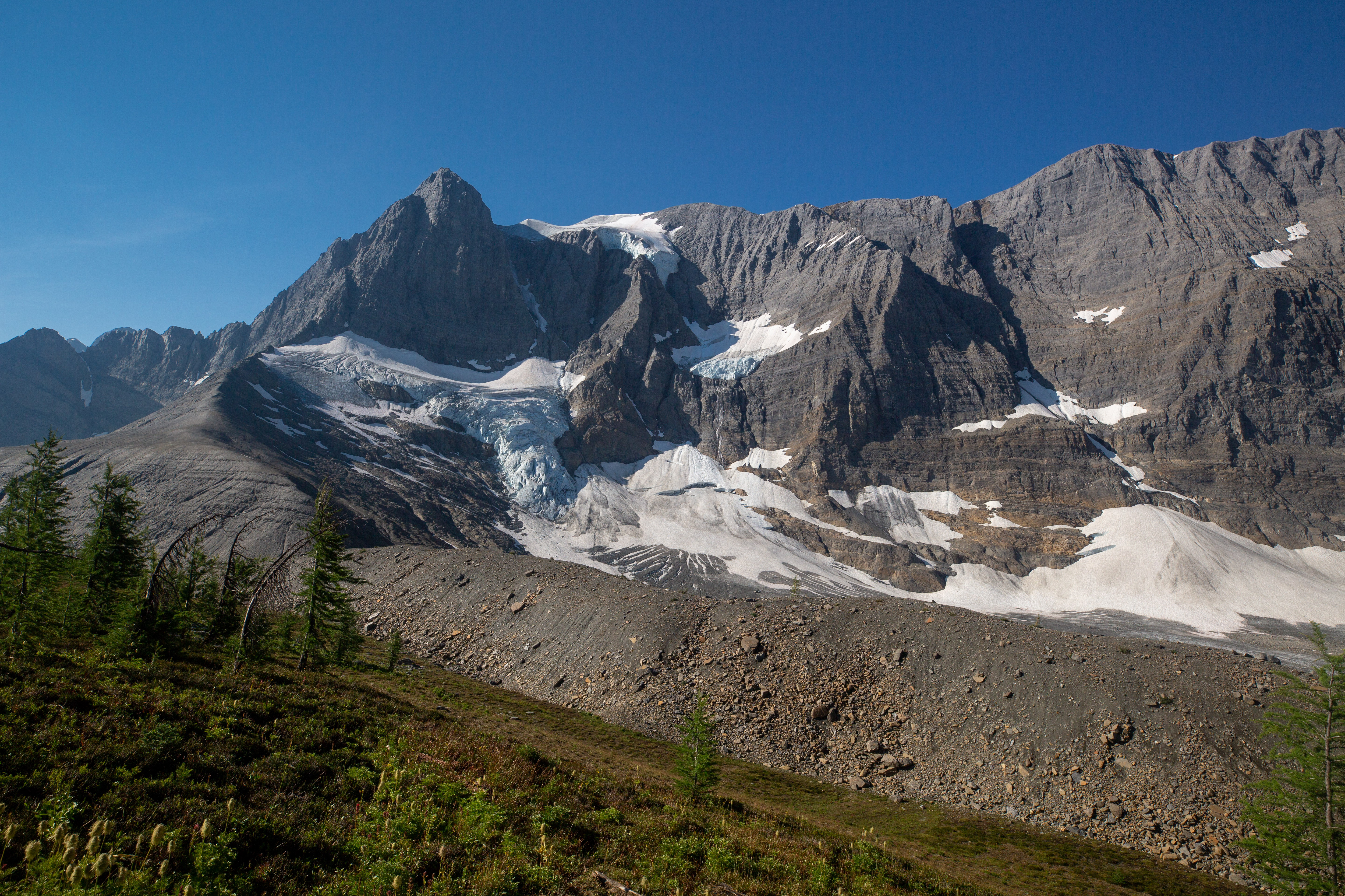
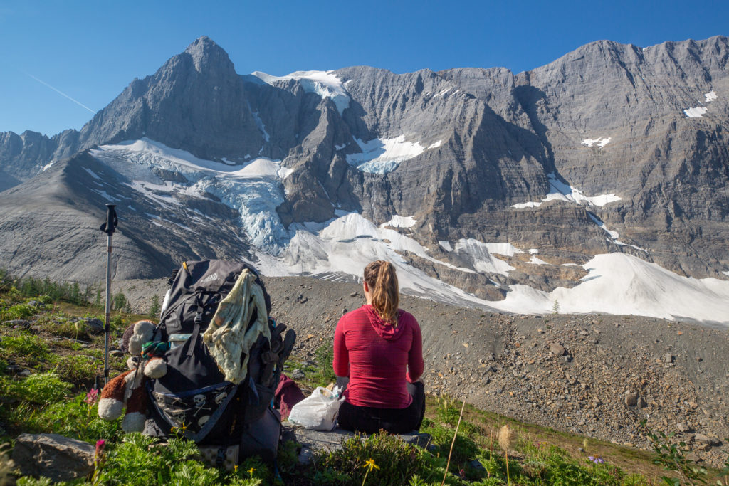
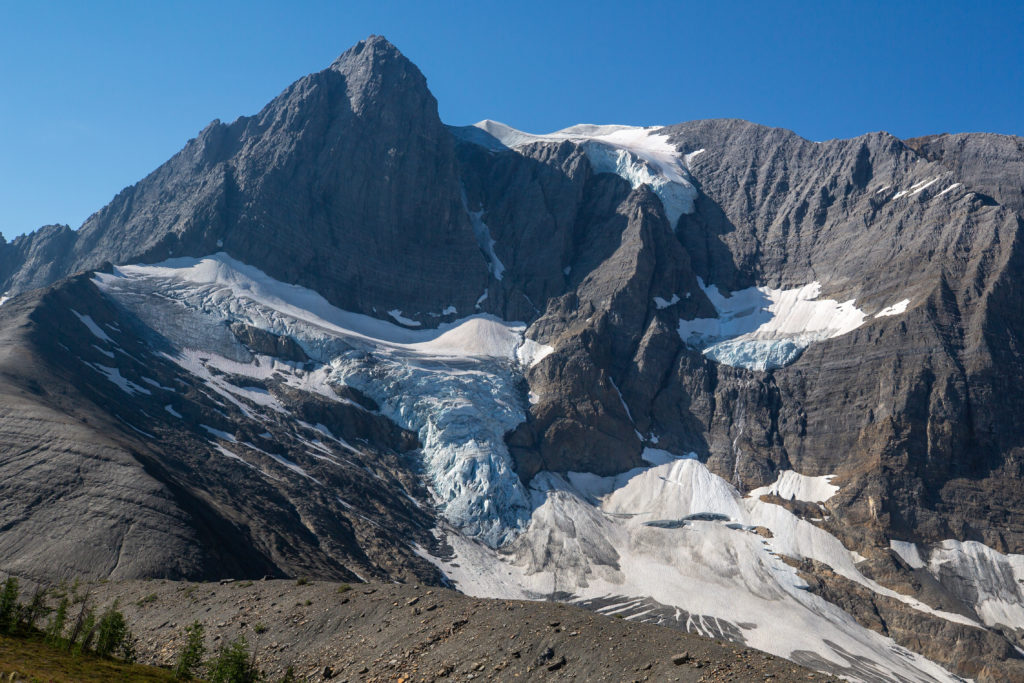
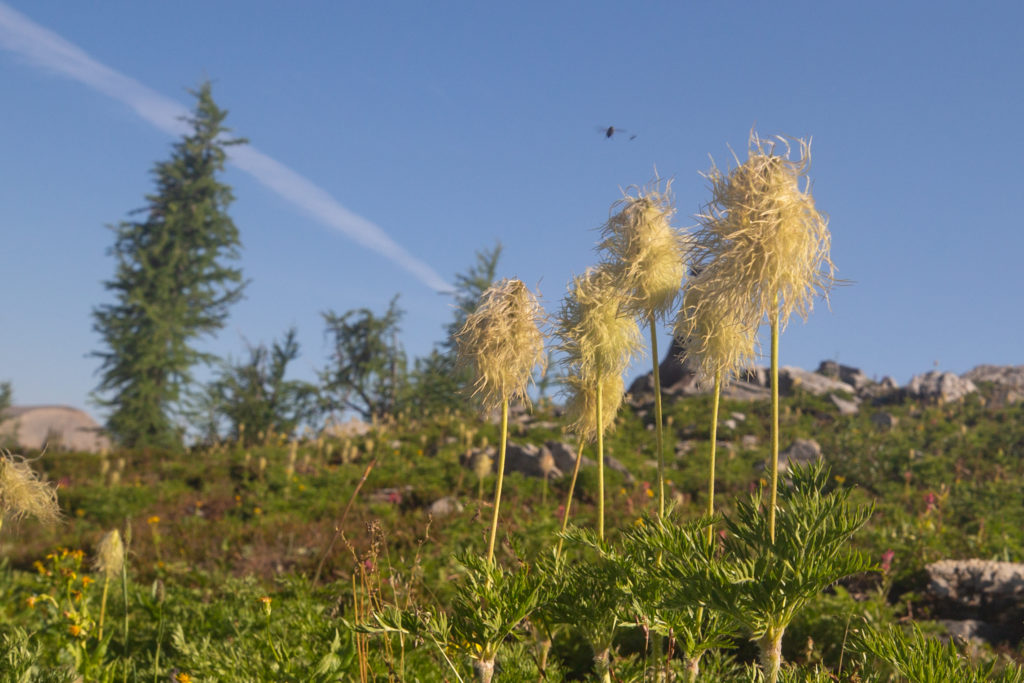
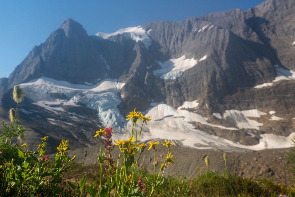
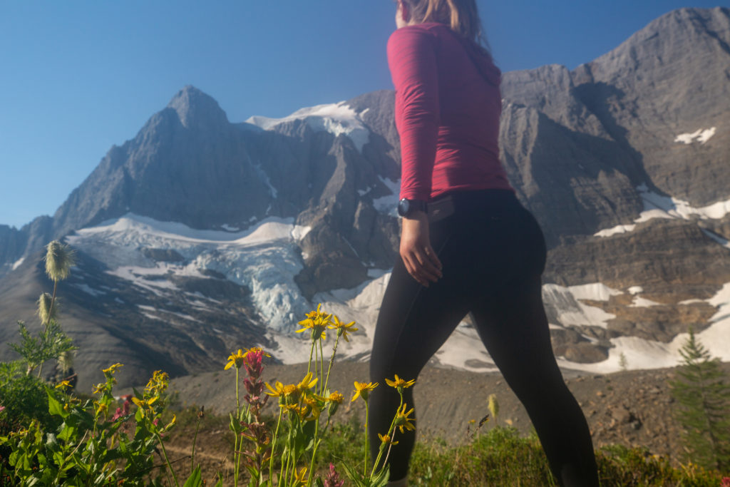
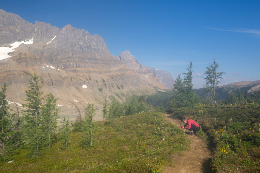
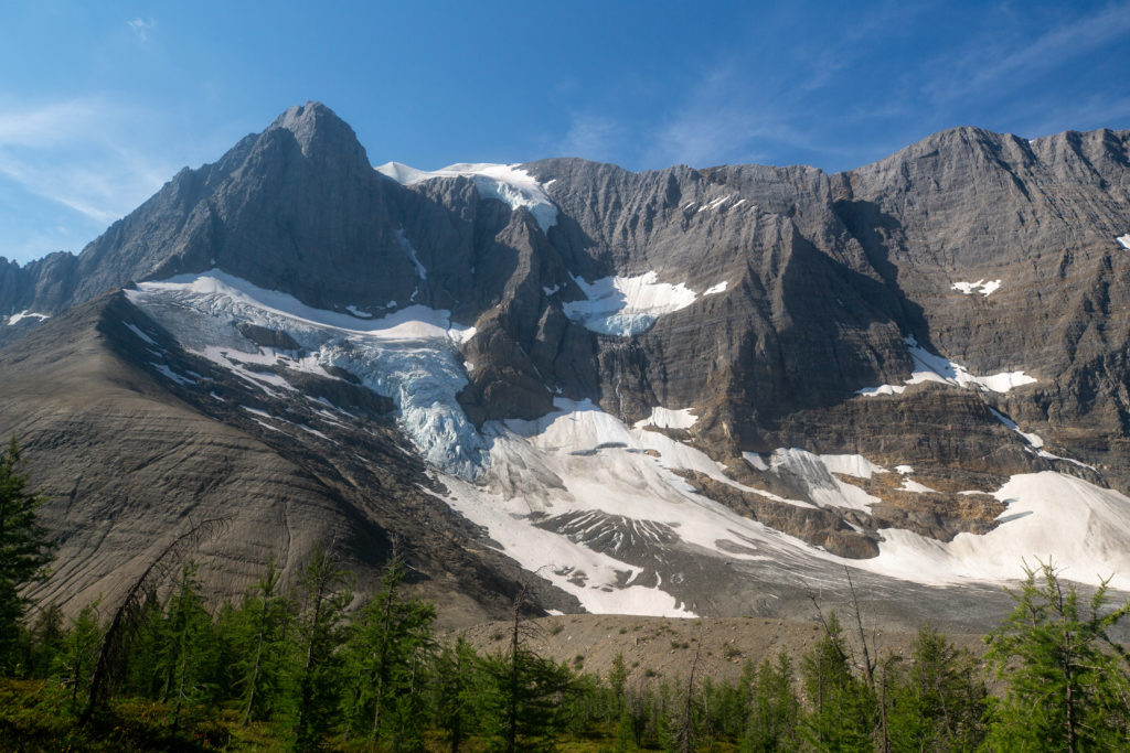
The remainder of the hike was very simple. There was a short undulating section across the the pass. Then a long descent first on loose rock transitioning to dense brush in the valley bottom taking us down to Numa Creek. The day would then finish with a 7 km walk beside Numa Creek. As always the hike was not that simple and there are stories to tell about adventures and misadventures along the way.
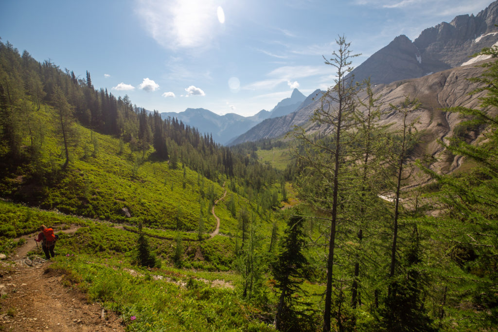
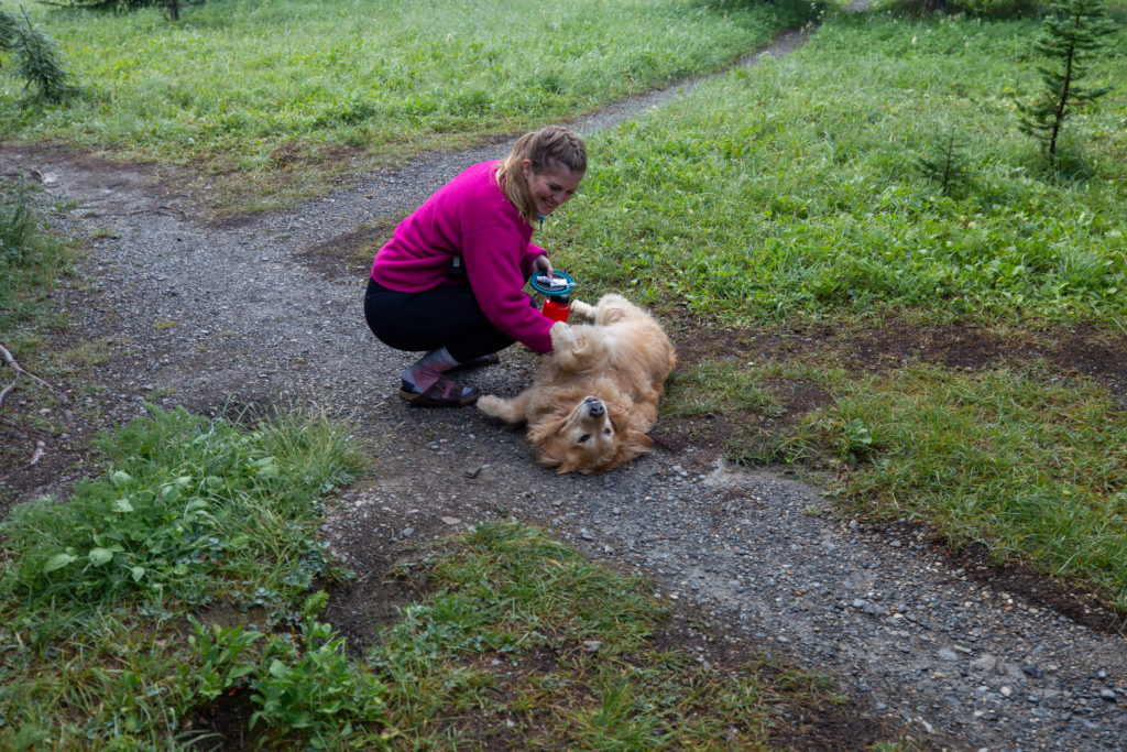
Just as we were getting ready to leave Tumbling Pass the first Golden we met came trotting over the rise with his owners in toe. Siobhan was very happy to sneak in a few extra head scratches. We spent a few minutes chatting as they enjoyed the view of the glacier. The guy said he had spend $2000 going ultralight so that he could end up packing more stuff. I thought that was an interesting philosophy. He had invested in a Hyperlite pack and wanted to do both the Great Divide Trial and Pacific Crest Trail. They were headed to Floe Lake so that had to descend down off of Tumbling Pass and then ascend up and over Numa Pass. I have been down Numa Pass twice northbound and I feel it will be quite the grind going southbound up the pass. But the view as you crest Numa Pass will be incredible. After we said our goodbyes they initially made better time then we did across the top of the pass and slowly disappeared into the distance.
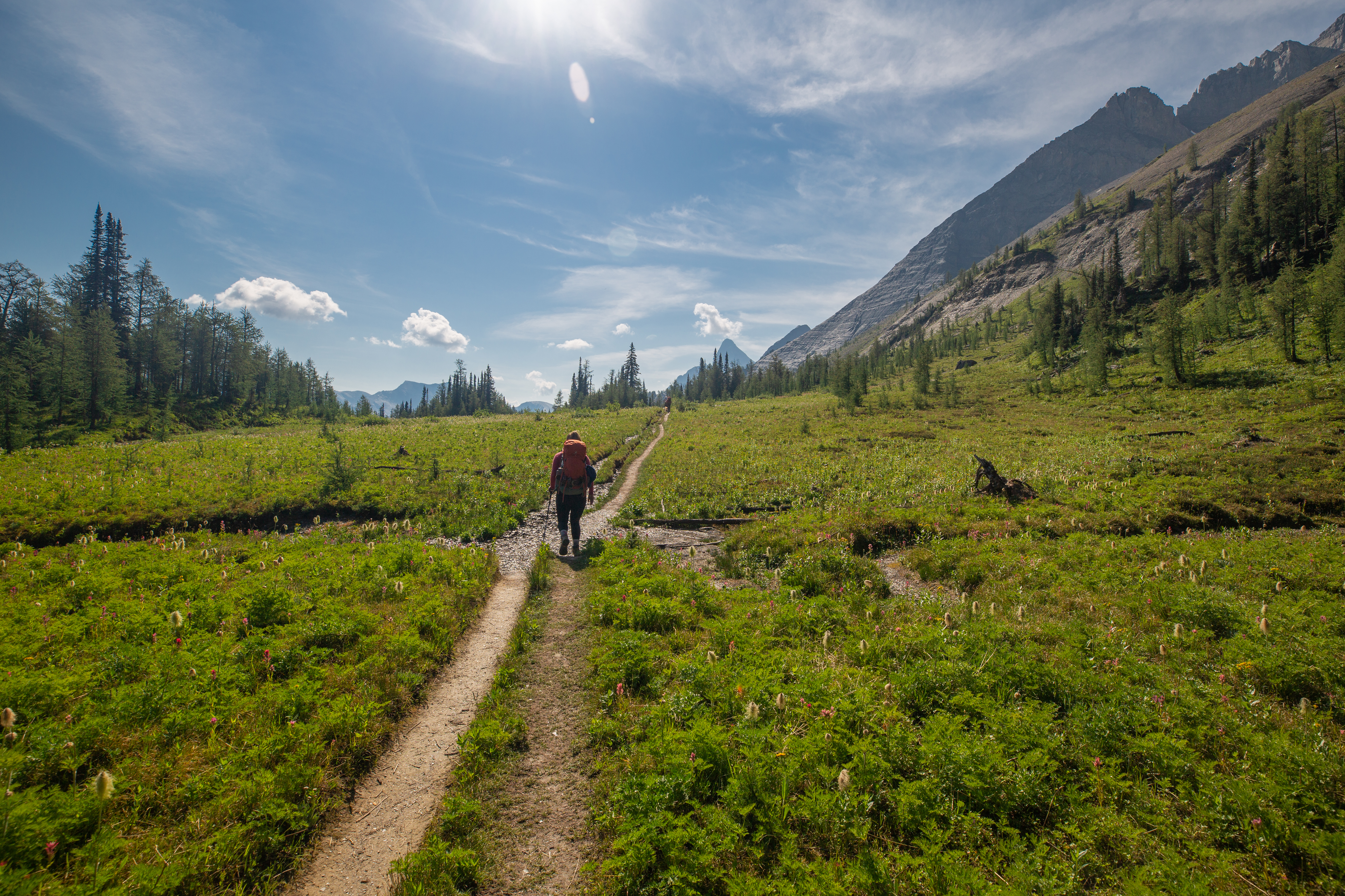
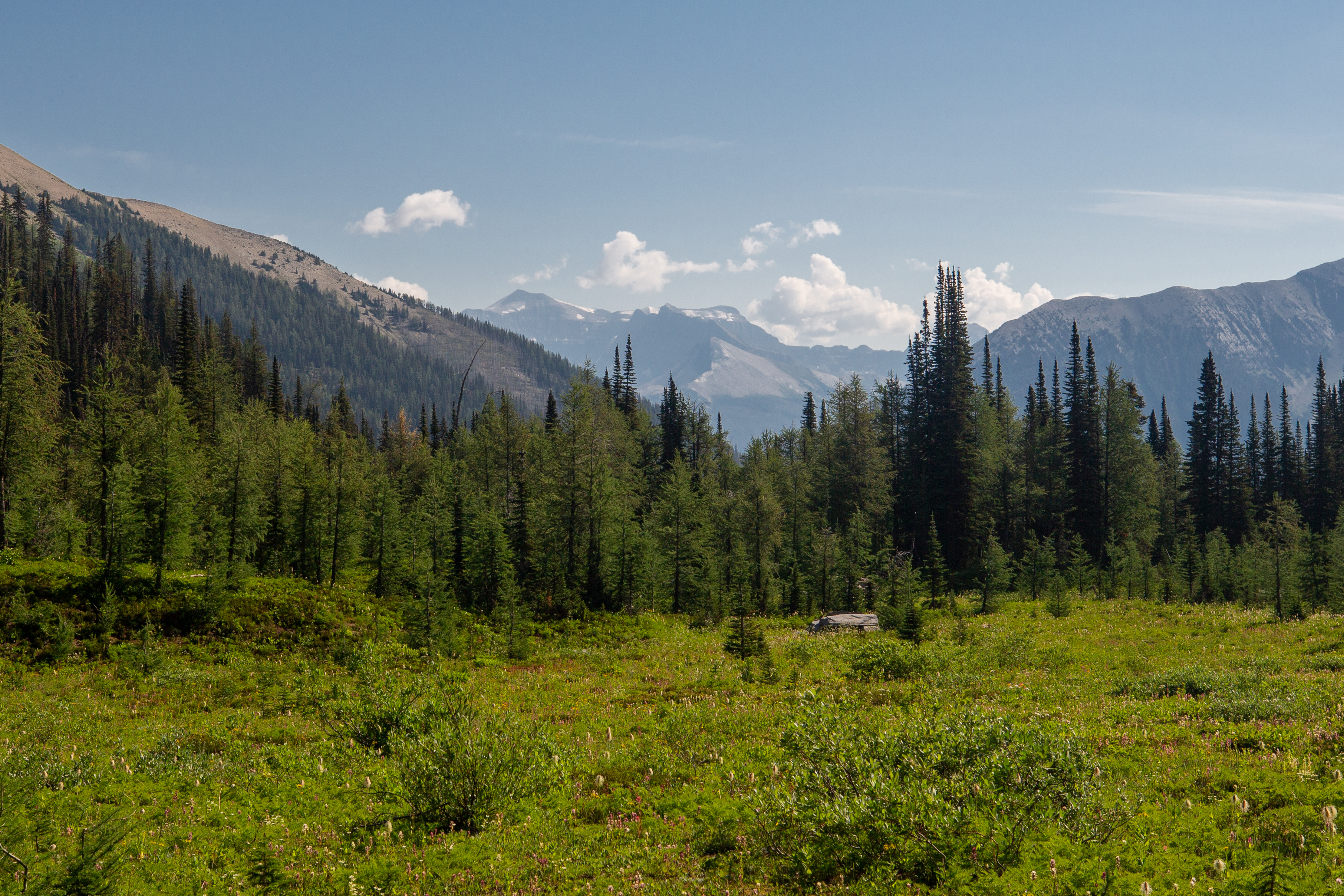
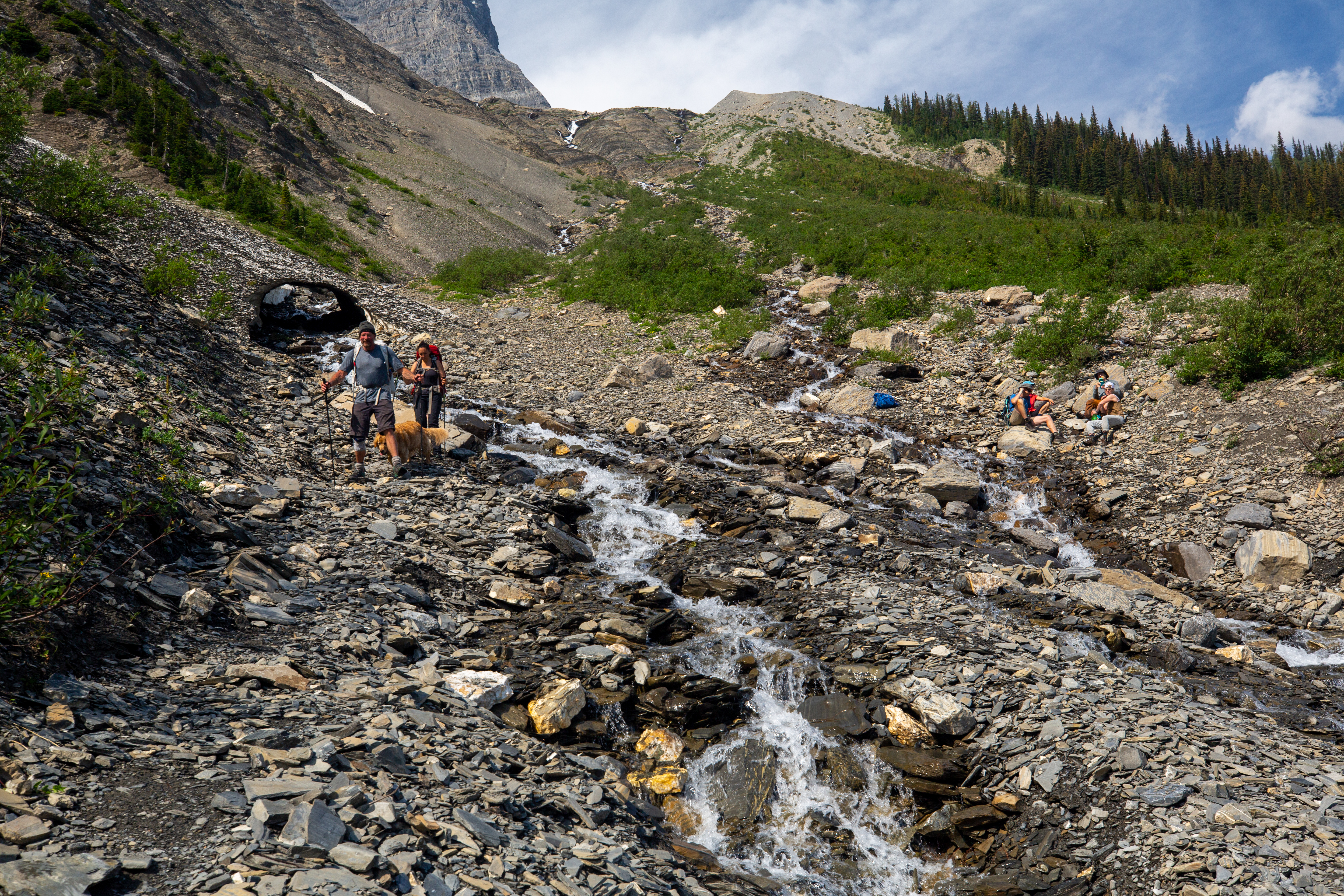
After crossing the flats of Tumbling Pass we hiked through a small glade of trees and came out to an open drainage that we would follow for our decent to Numa Creek.
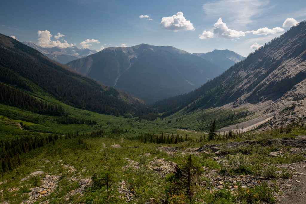
The couple with the Golden were initially faster then us but on the steep rocky trail of the drainage we quickly caught them up and passed them as we came to the stream crossing. The stream crossing was really quite minor but it was quite a steep slope. We picked a line with some well placed rocks and carefully but confidently went across.
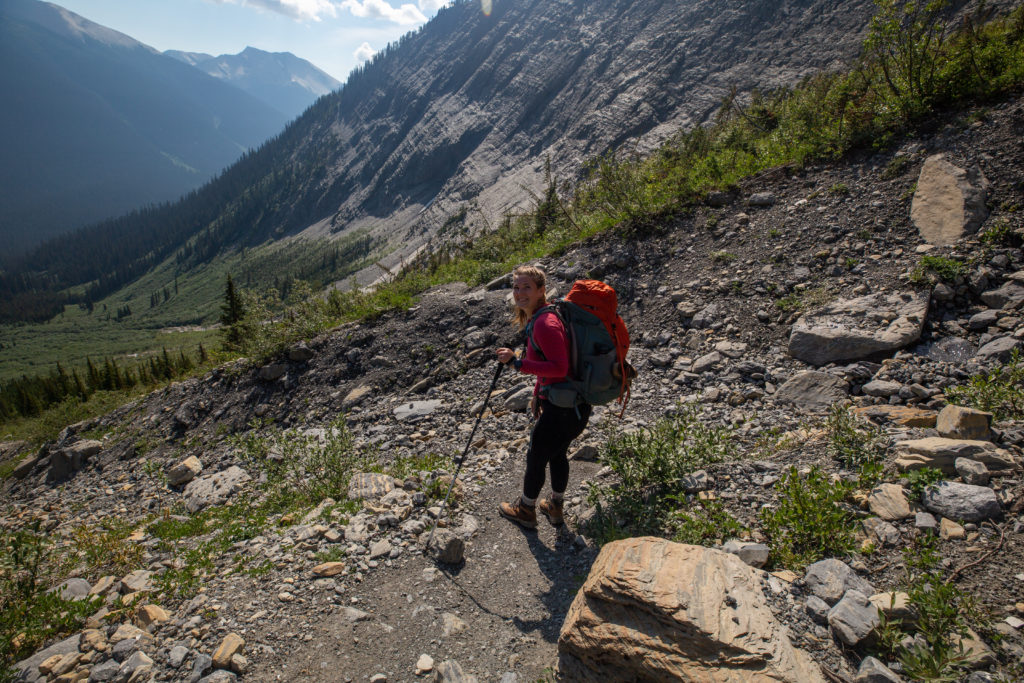
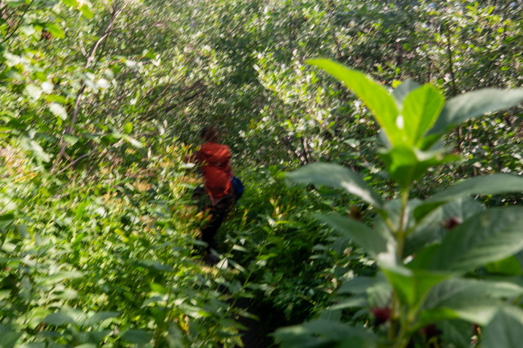
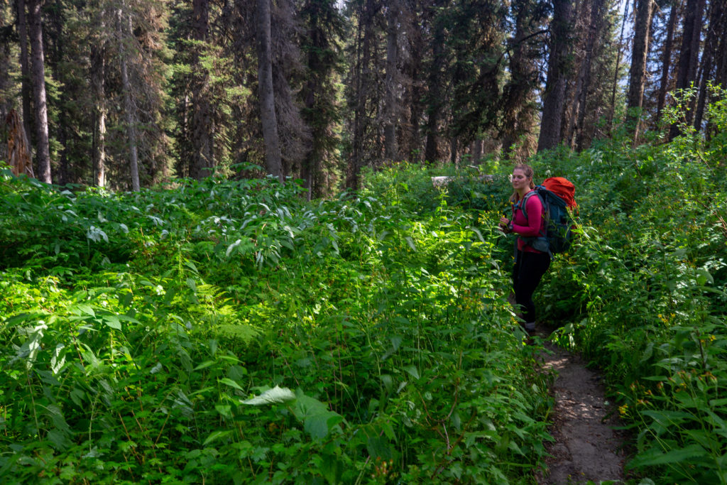
The decent down to Numa Creek was longer than I had thought it would be. Despite the rain the trail was dry. With the dense bush hugging the sides of the trail I yelled frequently to alert any bears to our presence.
I am not sure why, but I get unreasonably stressed at times. I had checked before leaving on the trip that the Numa Creek trail was open. The trail from Hwy 93 to Numa Creek CG had been closed for years after the bridge across the Vermilion River was washed out in the floods of 2017. The bridge had been replaced and I had checked online that the trial was now open. Now that I was on the trail I was doubting if I had checked thoroughly. The trail conditions posted by Parks Canada had said Numa Creek trail was in good condition. I even had Laura check and text me back on my Spot X to confirm that the trail was open. I do not understand why I was so stressed about whether the trail was open. This bothered me all the way down as we descended off of Tumbling Pass. Could I be wrong? What were our options if the trail was closed (none very good). I was so relieved when we arrived at the trail junction and the trail was open. I knew it was open so why was I so worried. One of the underlying issues for me is that do not have good attention to details and details are important and I easily take things for granted. This time all was good.
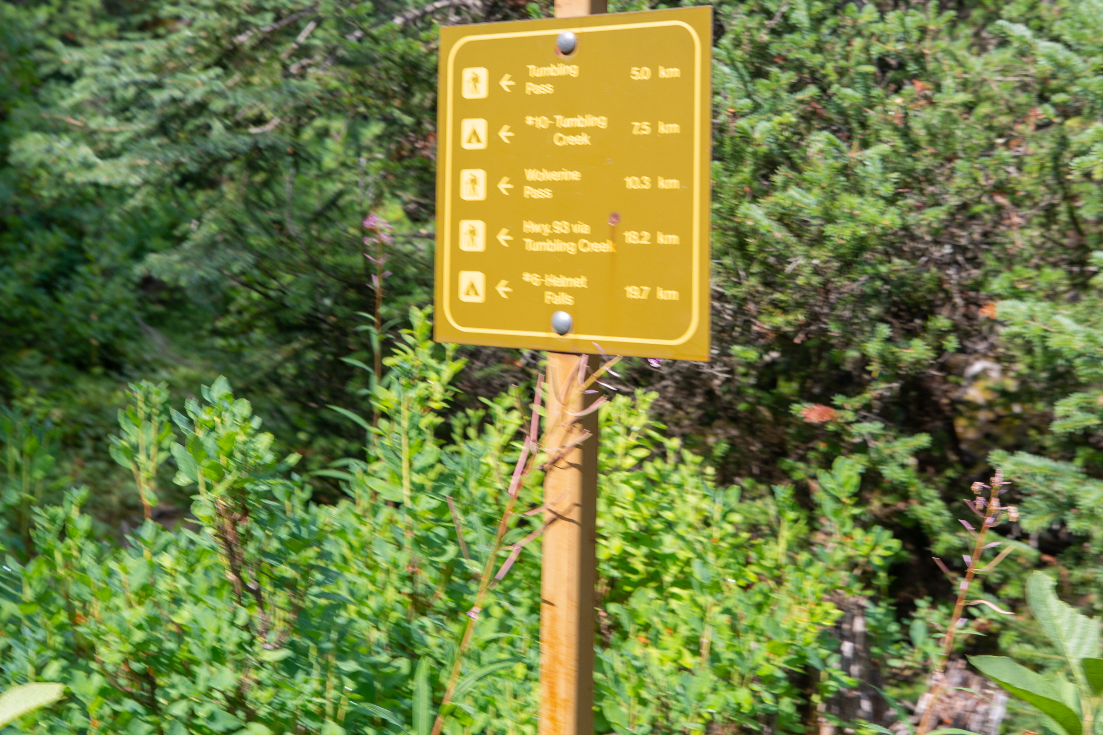
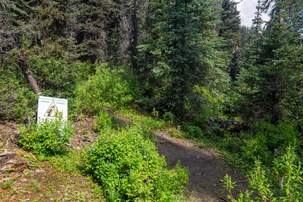
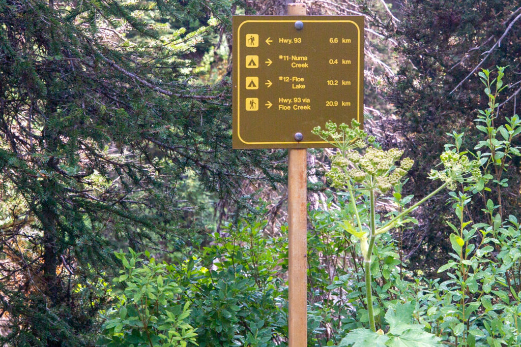
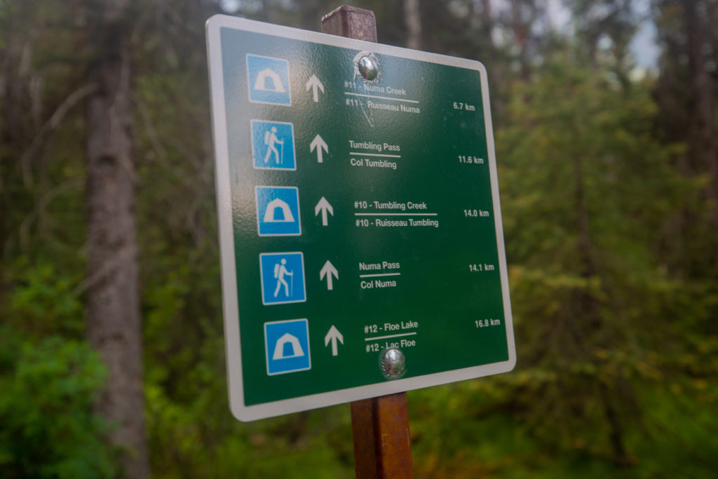
I asked Siobhan if she wanted to hike the 400 m to visit Numa Creek CG but she decided to she would prefer just to head towards the parking lot.
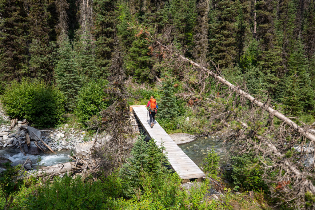
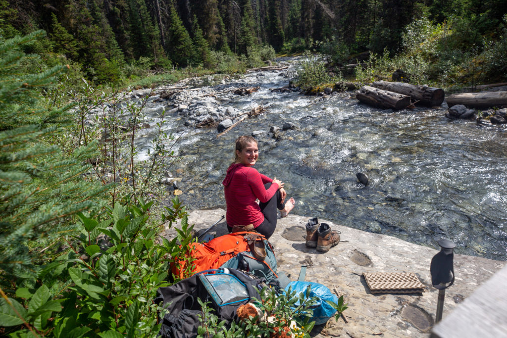
We stopped for lunch at 12:30 pm and we would not actually leave until 1:25pm but there is a story behind that. We both began the lunch break by cold soaking our feet in the stream. The water was exceptional cold but it felt refreshing to have the feet out of the boots and the water running over our feet. We then had quite a lazy lunch until it was time to pack up and leave.
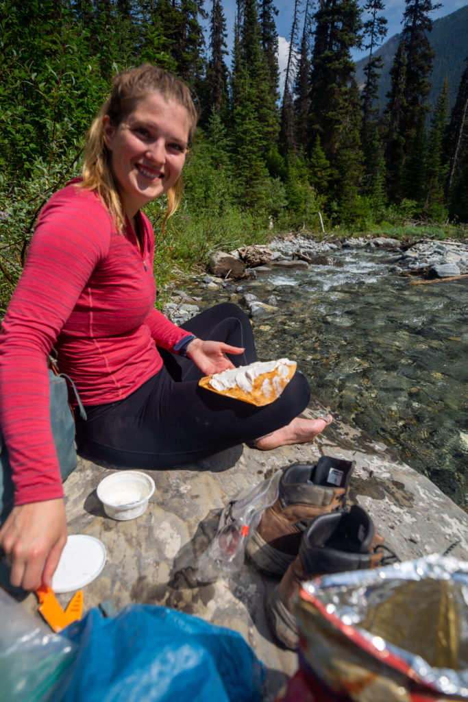
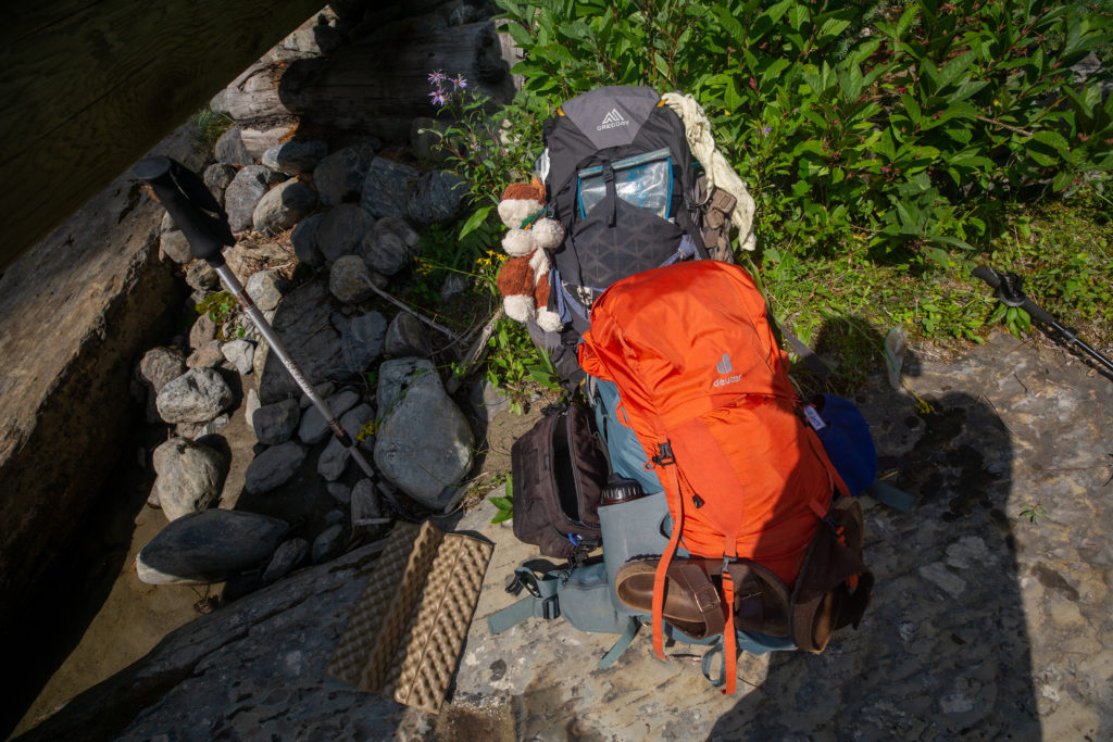
As we were packing up Siobhan suddenly realized she could not find her phone. She had just been taking pictures with her phone and now it was gone. I never heard it fall into the water but I did walk all the way down the stream to where it flowed into Numa Creek looking to see if I could see the phone. I did not see any phone. When I came back I checked the food bag which was the only thing I took out of my pack but again there was no phone. I started to pack my bag but Siobhan insisted that I tear my bag apart to look for her phone. I hesitated but agreed. Just as I started hauling stuff out of my bag Siobhan discovered her phone in the the side pocket of her backpack with her water bottle. She must have taken a drink and put her phone in the empty pocket as she took out her water bottle. Crisis over.
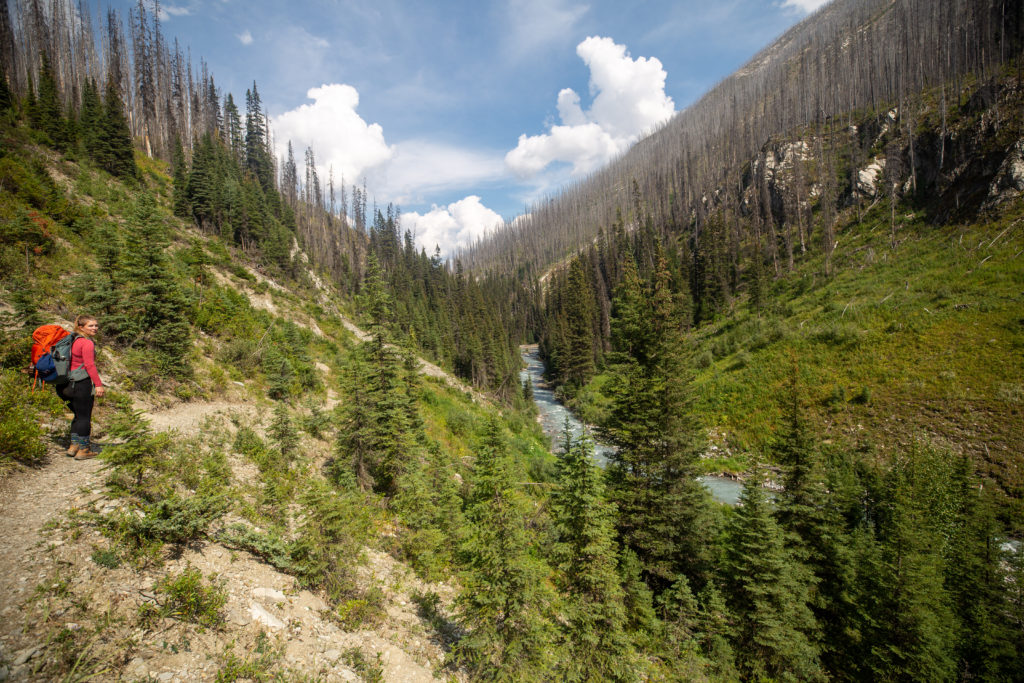
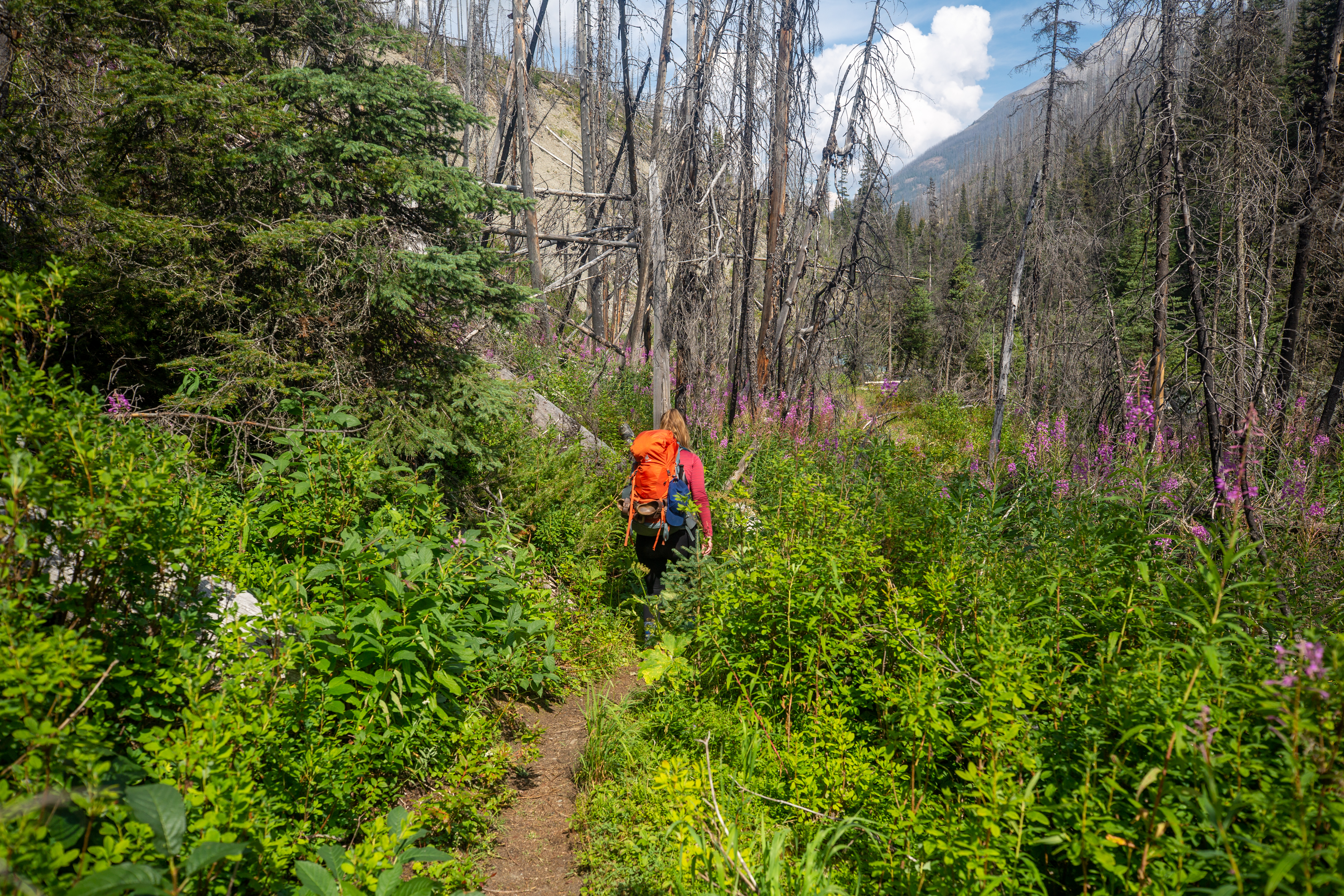
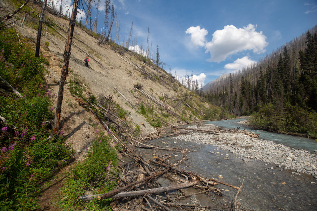
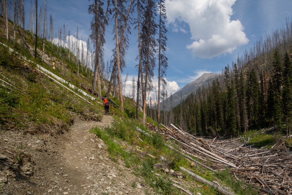
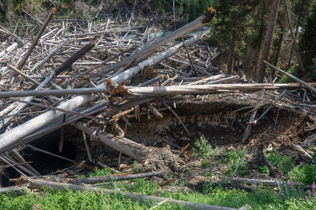
The rest of the hike was just about putting in the miles back to the car. The trail follows Numa Creek but there really is not much to see on this last stretch. We crossed several burn areas. The dead trees are susceptible to the avalanches in the area and the result is that at some points the creek is chocked by the deadfall.
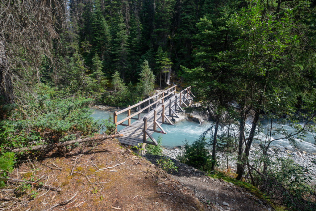
Crossing the bridge to the other side of the creek signaled the trail was coming to an end. Unfortunately I remembered from the first time I hiked out Numa Creek there is a little bit of elevation gain before we would descend down to Numa Falls and the parking lot. Siobhan and I both did complain about having to go up just to head back down. It was now a woods walk and there was little to see. We both agreed to go to the store at Castle Junction and get ourselves a refreshing cold Coke as a treat for finishing the hike. The thought of an ice cold Coke was a good motivator to move quickly down the trail. I knew the end was coming once we started descending. The descent to Numa Falls was very quick and suddenly we were among the tourists and taking in the splendor of the Numa Falls.
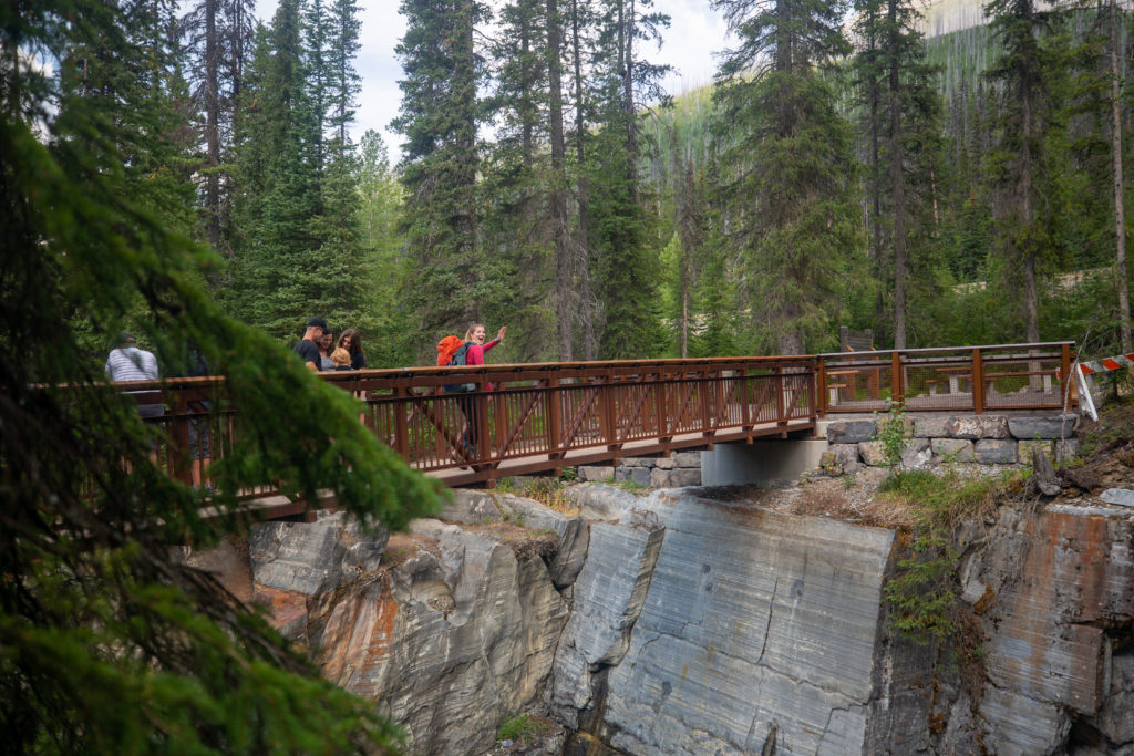
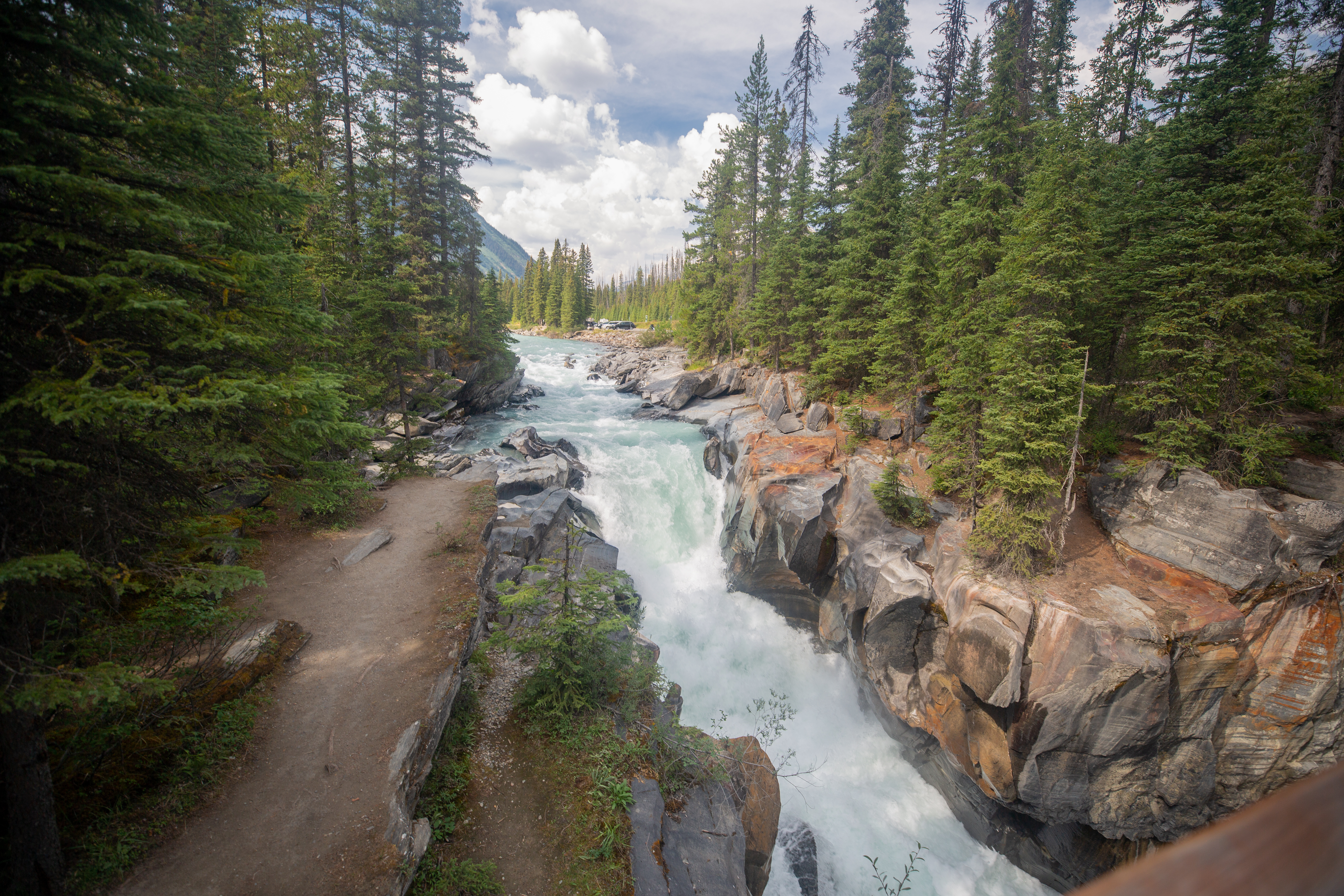
We did stop and have a quick look at the falls but continued quickly to the car. I could not wait to drop my pack. I had a nice foot soak in the cold water of the Vermilion River and took the opportunity to give my body a little wipe down. The cold water felt great.
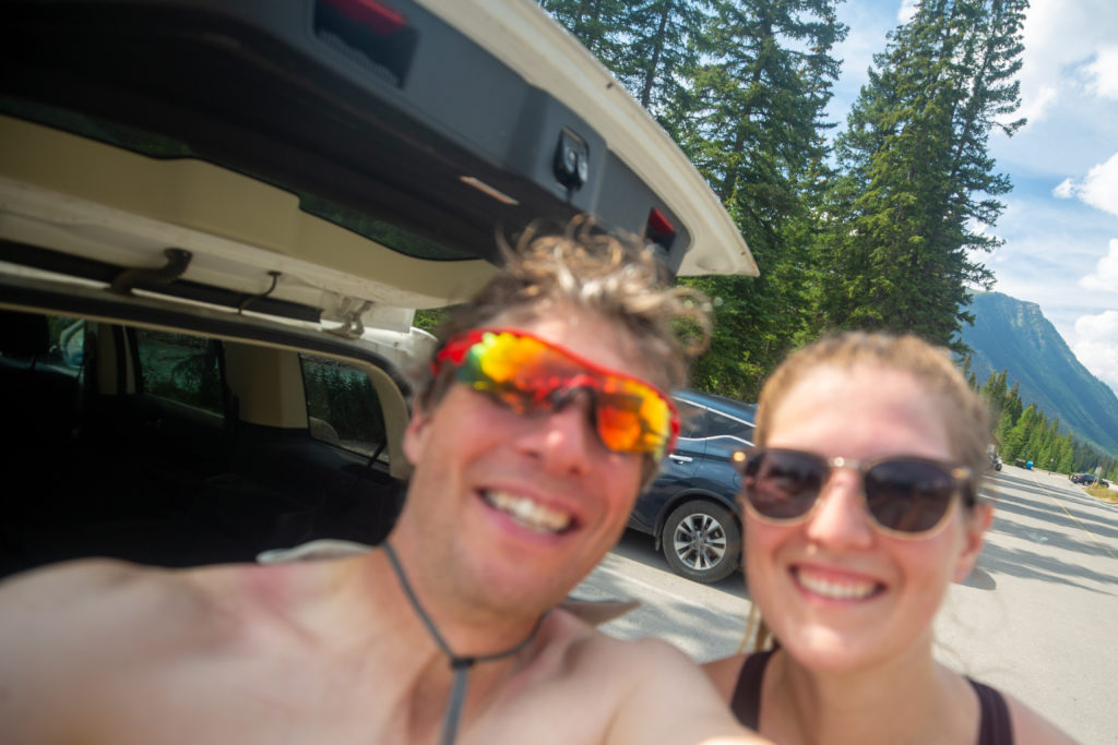
Usually arriving back at the car this would be the end of our adventure but not on this day. We packed our gear into the car putting and headed back to the Paint Pots to retrieve my bike.
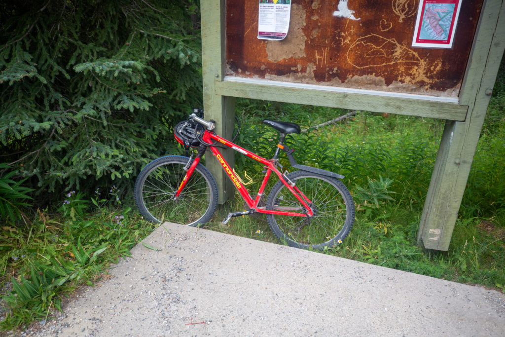
Arriving back the parking lot for the Paint Pots we saw a trail runner by the entrance trying to hitch a ride. We figured that he was probably wanting a lift back to the Floe Lake Parking lot where he had left his car. We were in no rush so we agreed I would take him back and Siobhan would stay at the Paint Pots and and wait for me. It turns out it was the dad from the family of three that passed us while we were hanging out under the tree during the thunderstorm on Day 2. He did indeed need to get to Floe Lake. He had been trying to hitch a ride for 30 minutes and was getting close to giving up and running back down the highway to his car. Needless to say he was very happy to have a ride. During the drive I discovered that the family lives in the same town as I do, small world. I dropped him off at the Floe Lake Parking Lot and very soon Siobhan and I were headed to Castle Mt Chalets were the corner store had ice cold Coke that we were craving. It tasted so good.
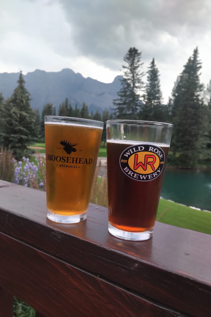
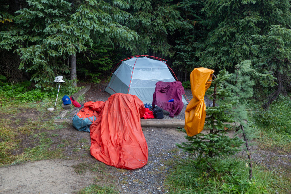
After arriving at home for a quick shower we headed to the Sandtraps Restaurant at the Canmore Golf Club for our traditional end of hike of burger and beers. The Sandtraps never disappoints. The trip may have been over but there was still work to be done. With the rain and humidity much of the equipment was moist and damp and needed to be hung up to dry.
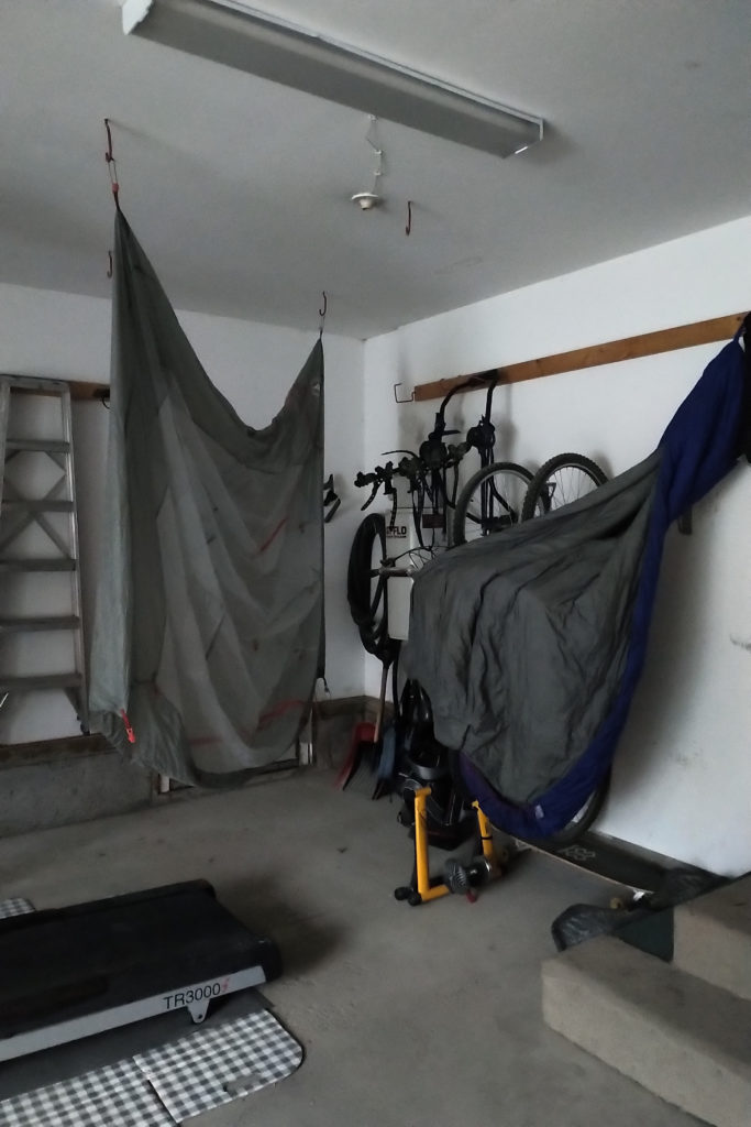
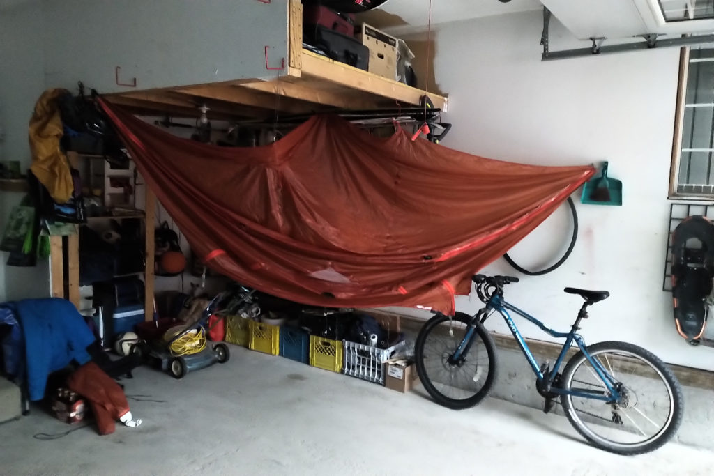
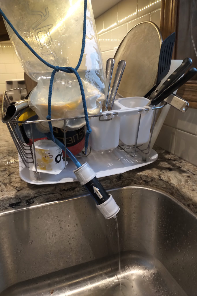
With everything put away or drying it was time to put the wrap on another amazing adventure with one of my favourite hiking partners. Rain or shine, you can always trust that Siobhan will find a reason to smile.
