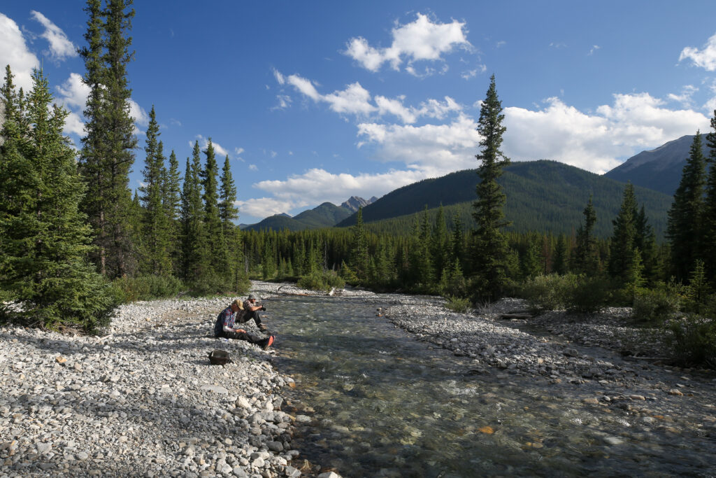
A couple of riverside walks.

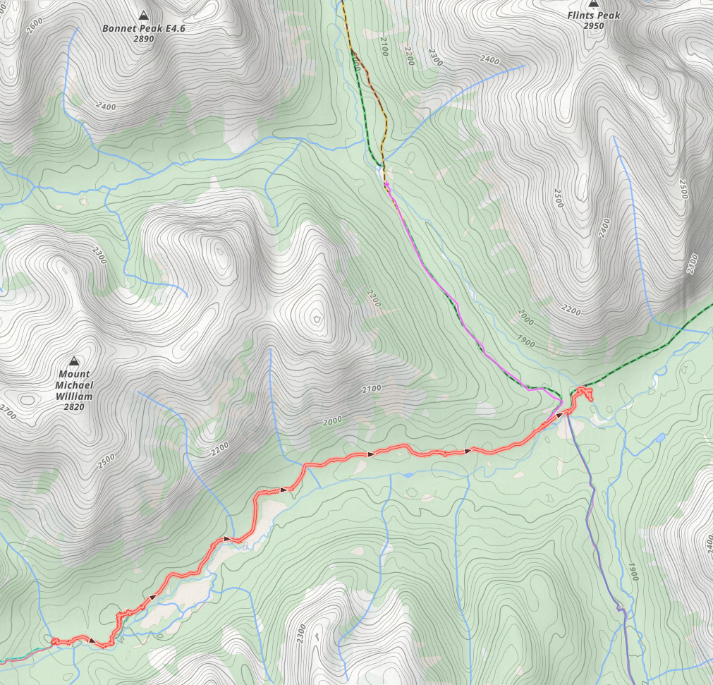
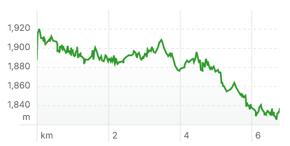
Day 4 Block Lakes Jnc CG to Flint’s Park CG, 6.8 km, 26 m elevation gain, 108 m elevation loss, 2 hrs.
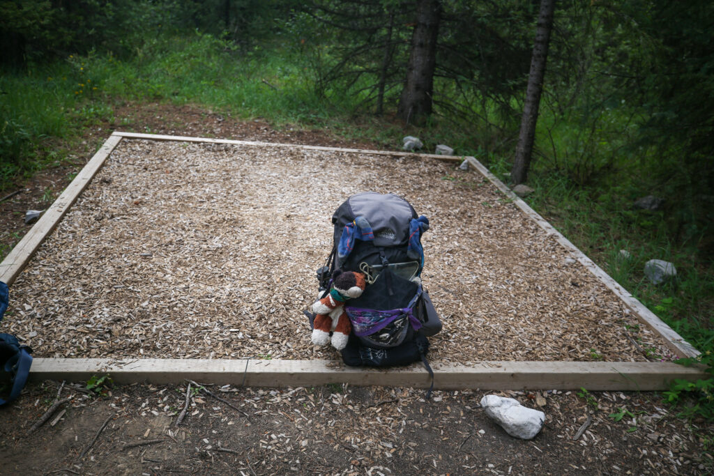
We are naturally wake up early so even though this was going to be a very short day we were packed up and ready to go by 8:30 am.

Fun fact the name Noetic is derived from the Greek adjective noētikos, meaning “intellectual,” or “to think”. Upon further research it appears that Noetic is an unofficial but widely used name. Searching the Canadian and Alberta geographical naming data bases turned up no results for Noetic. I still like the name and I still wonder who named it and why. Block Mountain is an official name with the reason given was its blocky shape.
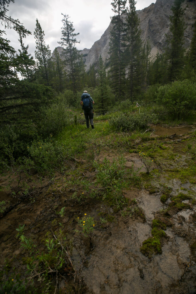
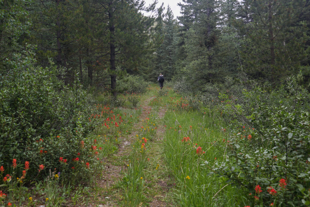
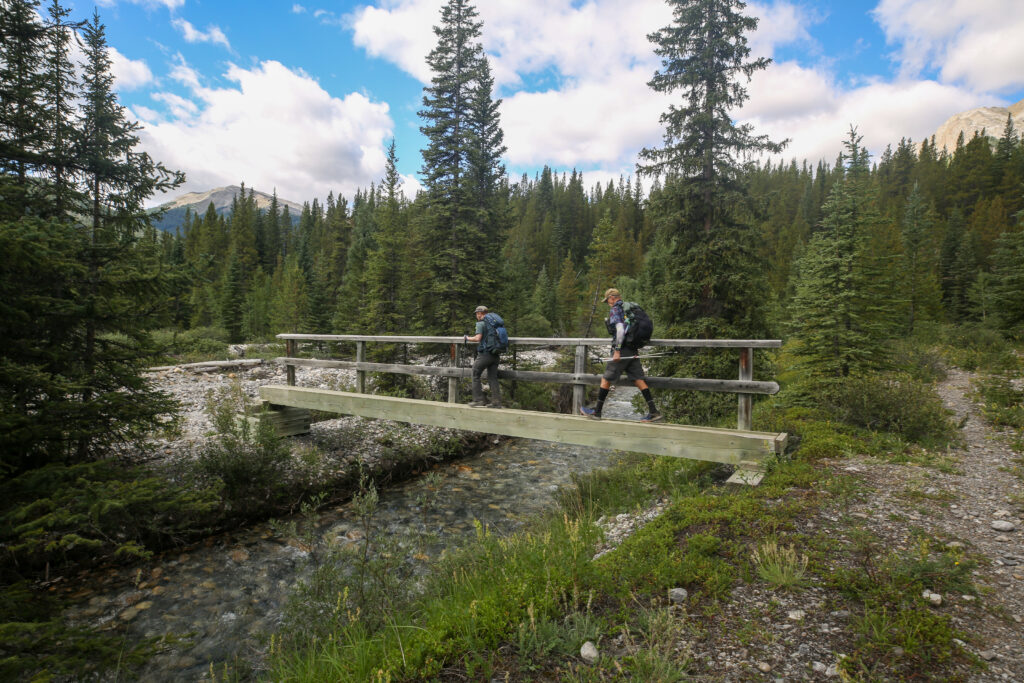
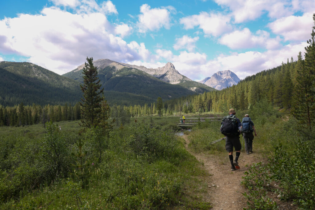
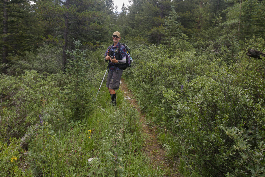
The trail was nice a dry as we left camp but very quickly we crossed a muddy stream and then found ourselves hiking off to the side of the trail because the Cascade River had overflowed it banks spilling onto our trail.
Since I had been through this section of trail just a few weeks ago I knew to ignore the flagging that tried direct us to the south and into the river and kept us following the north bank. About 1 km from camp the trail ended in a field of willows but I knew we just had to plough through the willows to the raised bank to our left where we would find the terminus of the Cascade Fire Road and dry trail.
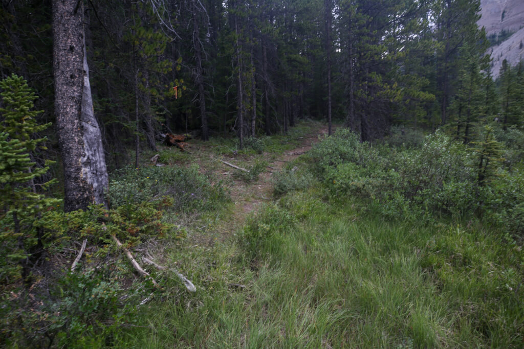
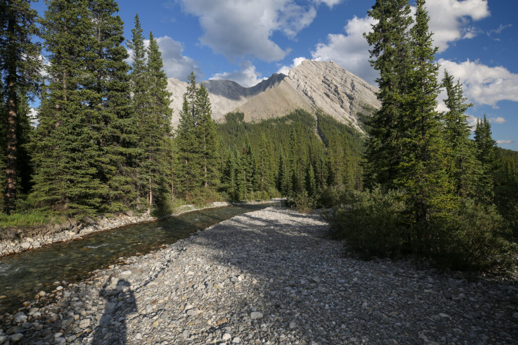
Once on the fire road the hiking was very easy. It was only 200 m down the trail when we would see where the flooded hiking trail left the fire road and headed towards the river. I would not recommend going that way.
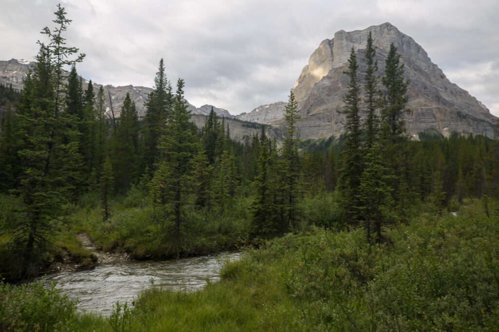
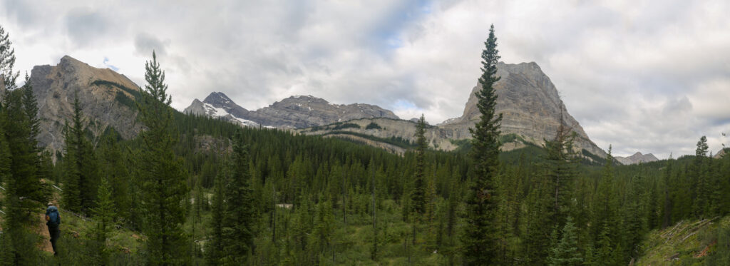
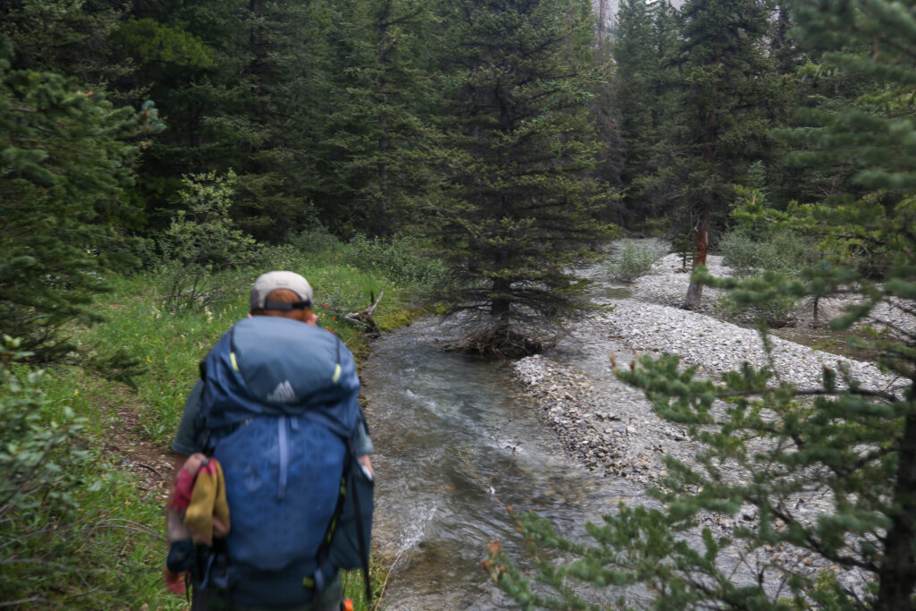
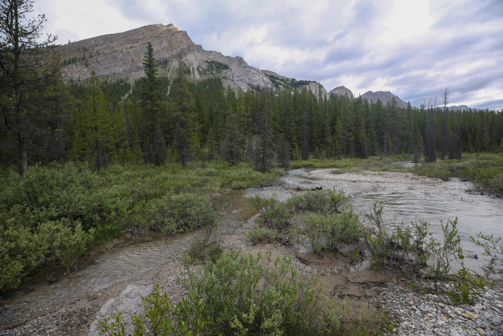
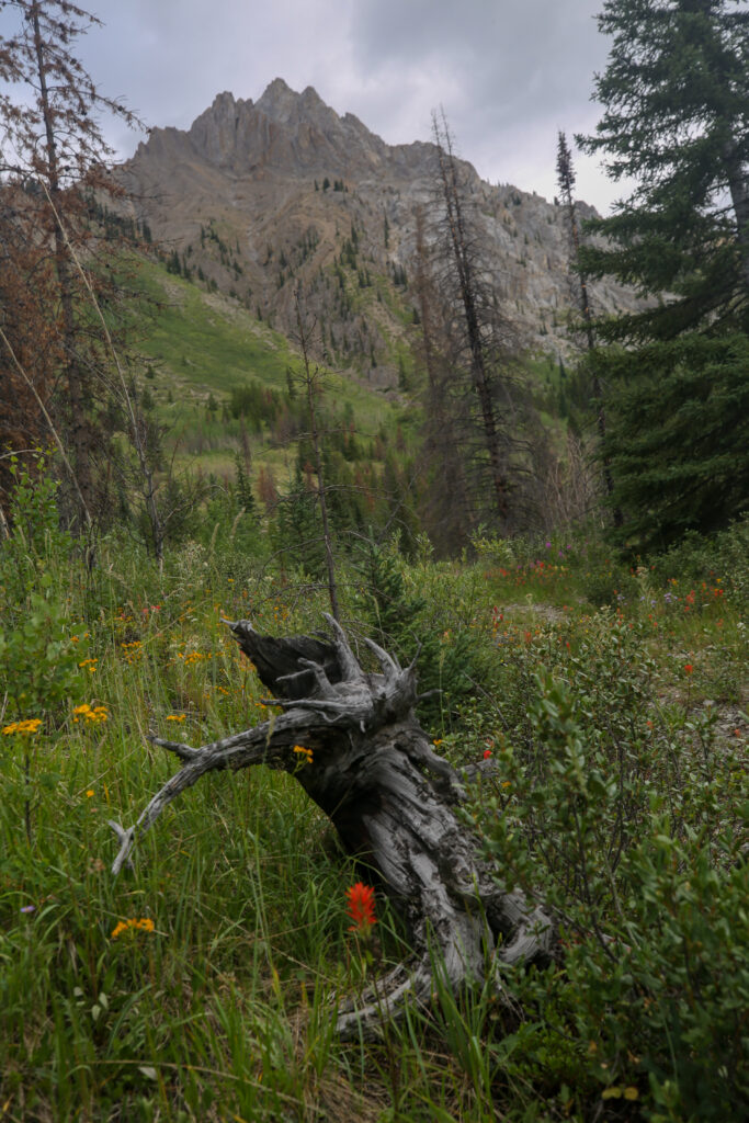
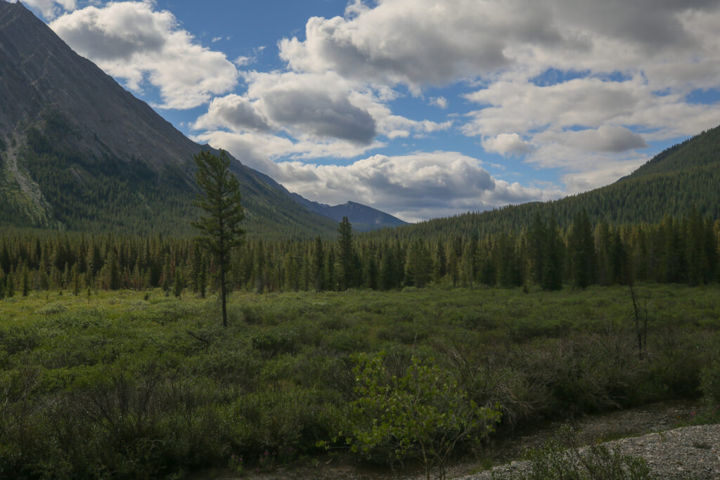
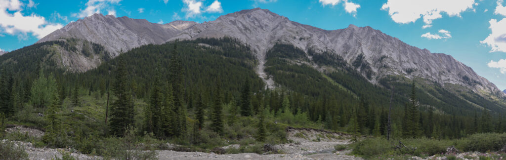
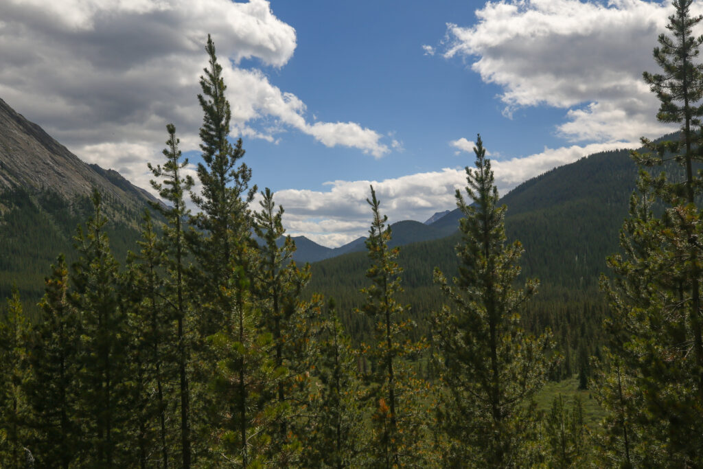
Yesterday just before we arrived at camp we passed by a waterfall leading into a small canyon. Now as we began our trek on the fire road we could see that the Cascade valley had become very wide and quite flat. It was still 5 km before we would arrive at Flint’s Park CG but we would lose only 50 m of elevation during the hike.
The walking was fast on fire road. We averaged a little over 5 kph for the rest of the hike.
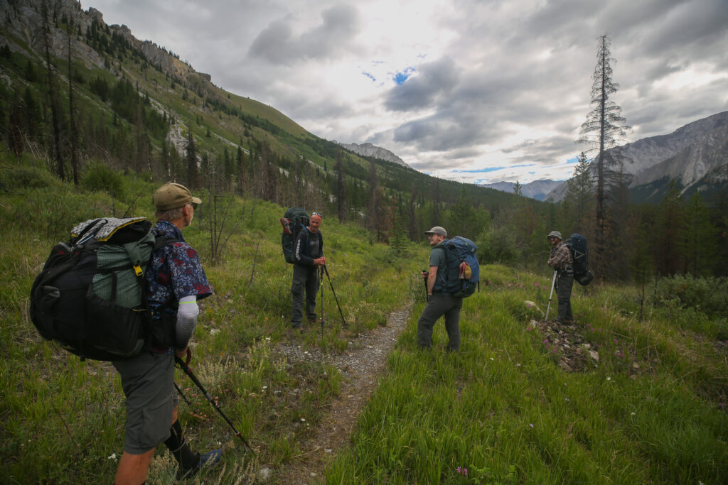
We stopped and a had a quite lengthy chat with a lone hiker going the other way. He was very enthusiastic and was doing an extensive backpacking trip in Canada that involved a number of small trips back to back. With the sky still a little moody the conversation made an expected turn to the weather. The guy was very big on a hiking weather app that would use your location to give you a highly localized weather forecast. I am super skeptical of how effective the app can be. I guess if you have the radar image you can extrapolate to any location on the image what the expected conditions would be for a specific location. I tried to search on internet how accurate the hiking weather apps are and there many opinions posed online but no one has actually done a study to verify accuracy. The guy was a lot fun to talk to and it was nice break for us as we had such a short day there was no pressure to keep moving.
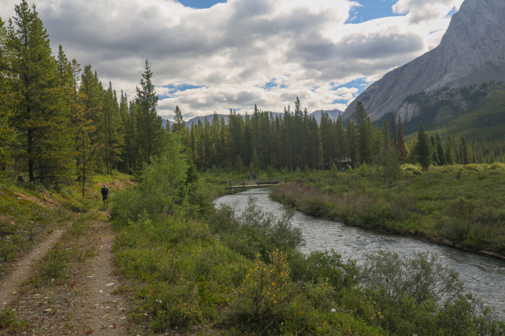
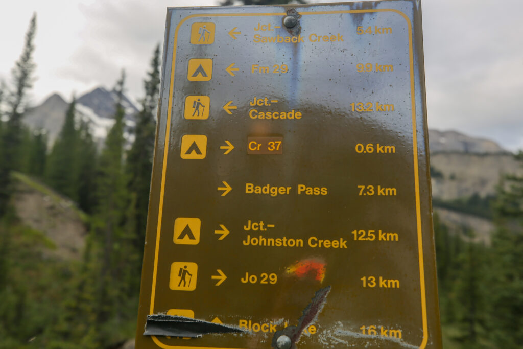
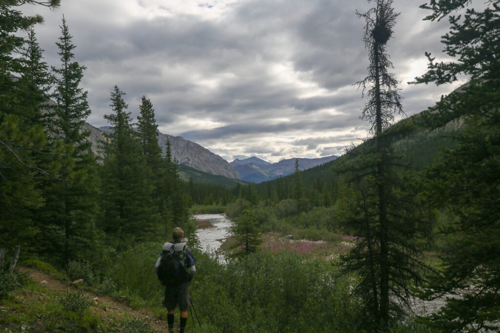
As we approached the Flints Park Patrol Cabin we pasted by a small bridge over the Cascade River. The bridge heads south towards Rainbow and Sawback Lakes and further up to 40 Mile Summit. Just as we were passing by the bridge two hikers came over. It was the father/daughter duo we had met during our lunch break at Larry’s Camp on Day 2. We had a little chat about their hike and shared intel on the trails. They seemed to be in good spirits and we said our goodbyes and each headed towards our respective camps which was for us just another few hundred metres down the trail.
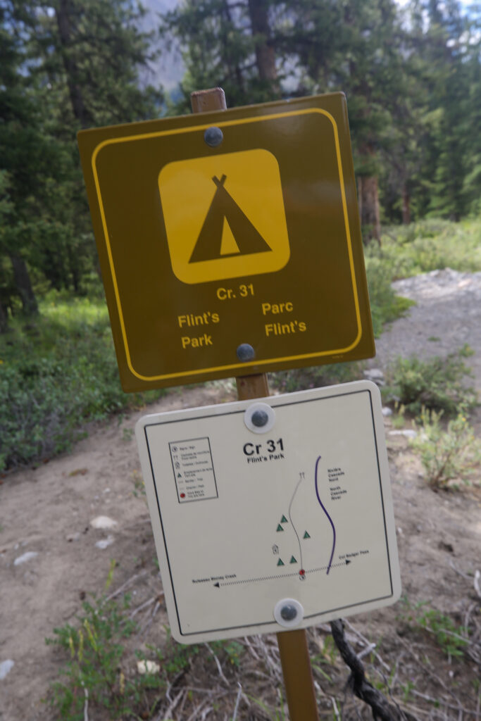
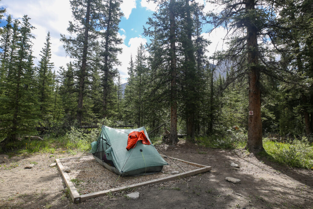
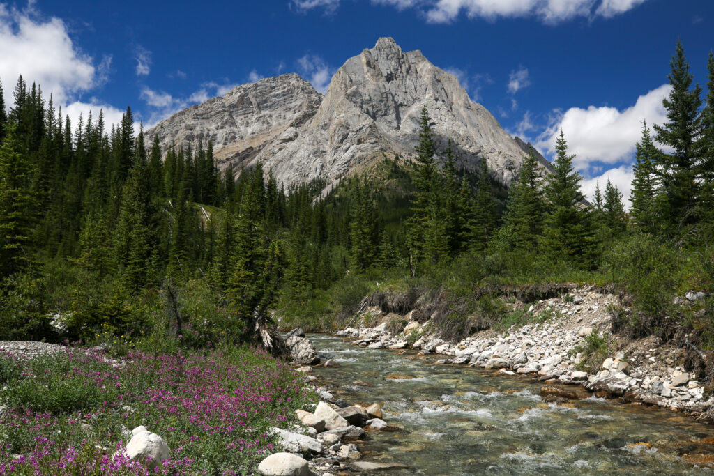
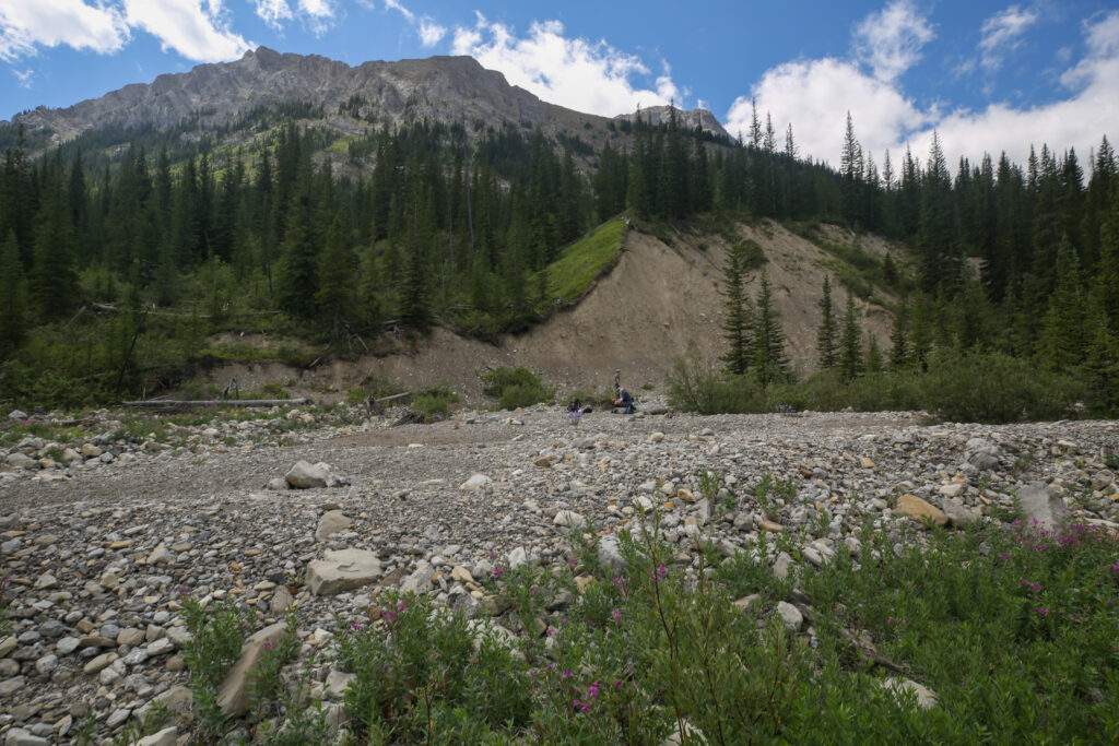
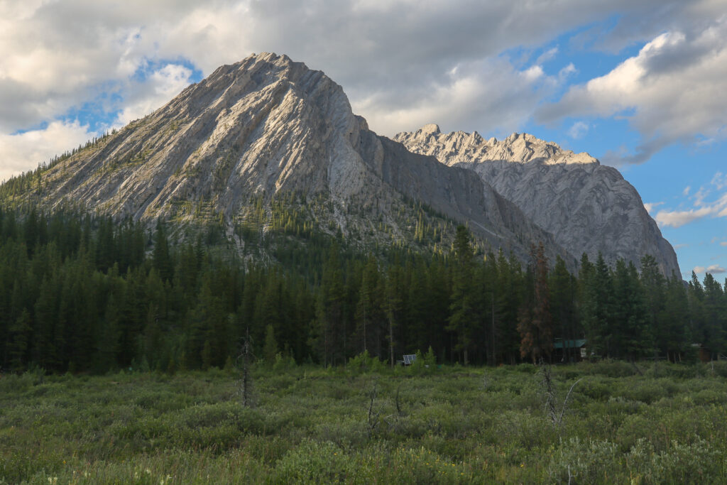
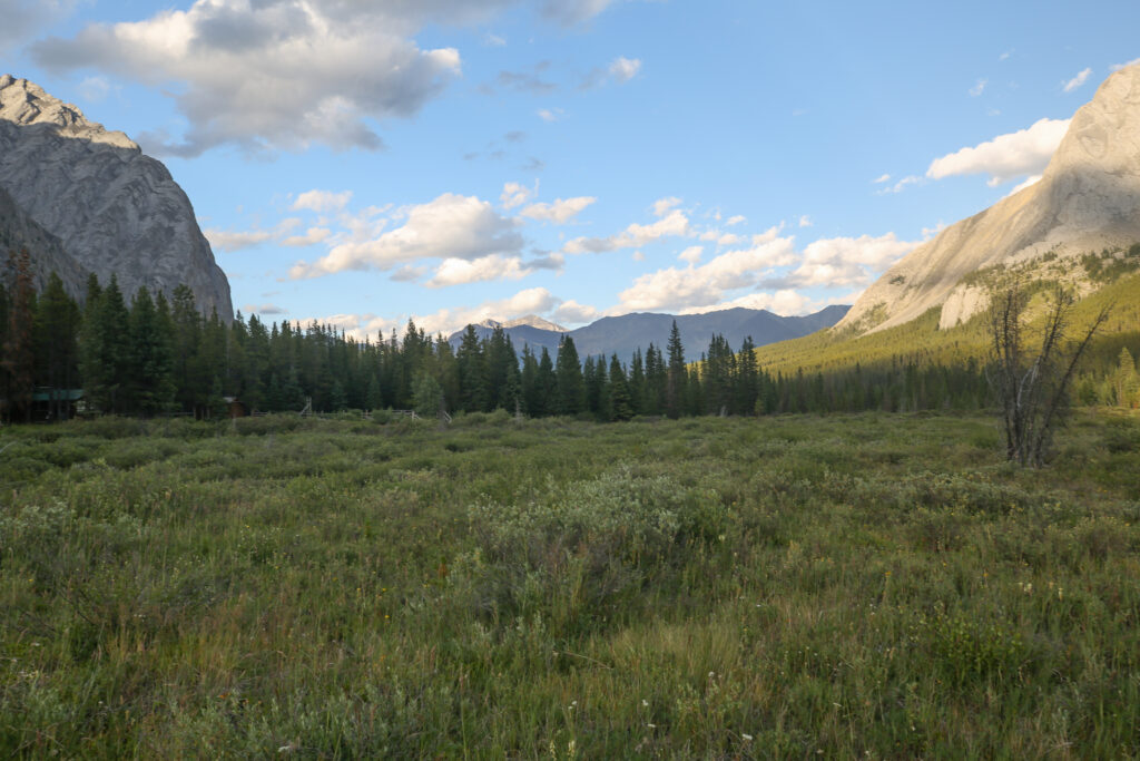
Flint’s Park CG is small pleasant campground located beside the the North Cascade River. The North Cascade River drains North Forks Pass and joins the Cascade River just a short way past the campground. Shortly after we arrived a solo hiker turned up in camp who was aiming to scramble up Flints Peak the next day. We would see him around camp all day and while he was very pleasant he made it clear he preferred to be left alone.
After setting up camp and refueling with some snacks Micah, Bent and I headed out for an afternoon hike/explore up North Forks Pass. Jordan took a pass on the extra excursion to rest his knees and ankles which were getting a little sore.
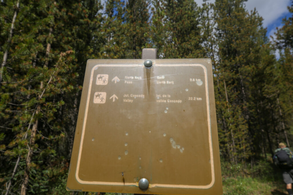
Exploration up North Forks Pass, 7.3 km, 139 m elevation gain/loss, 3 hrs 15 min.
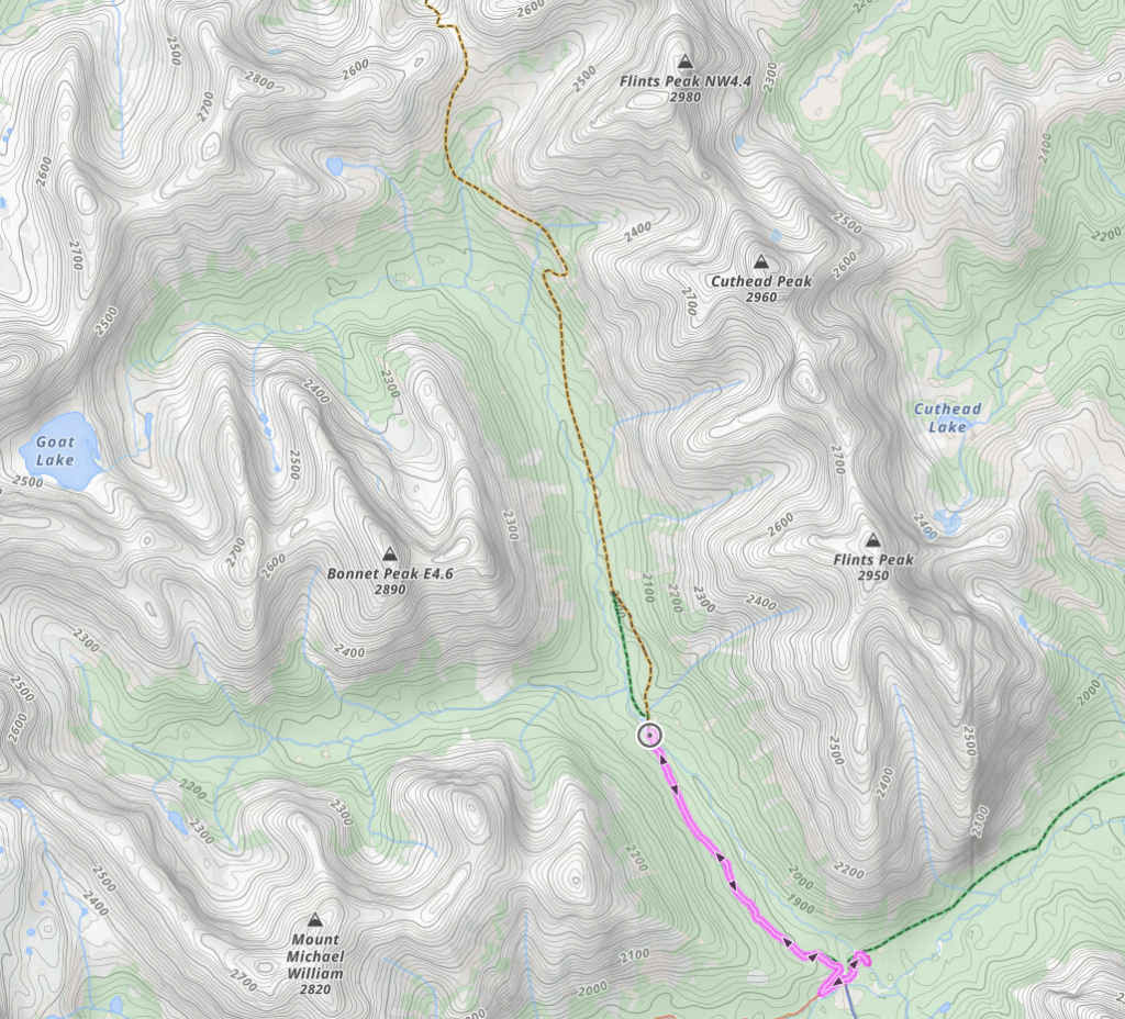
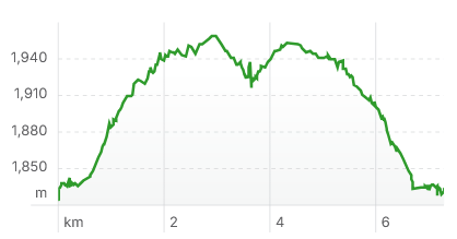
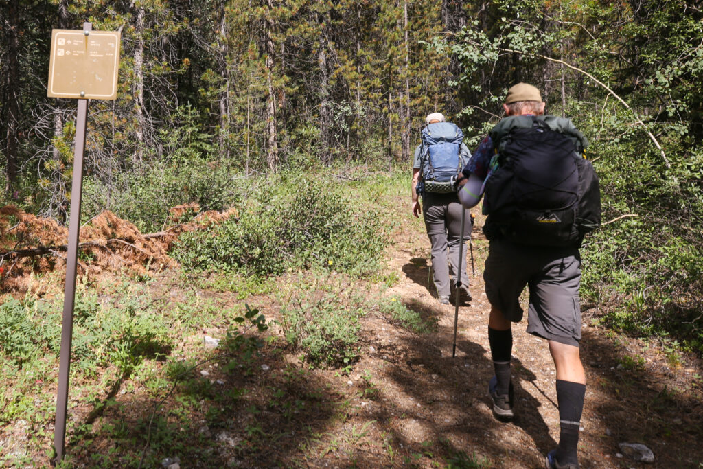
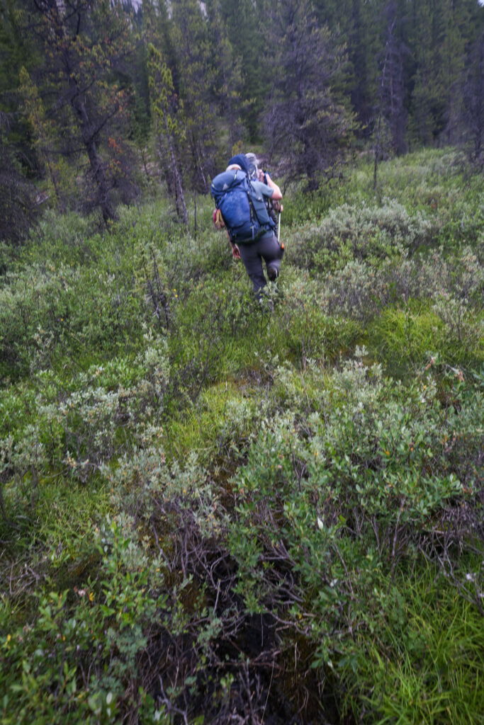
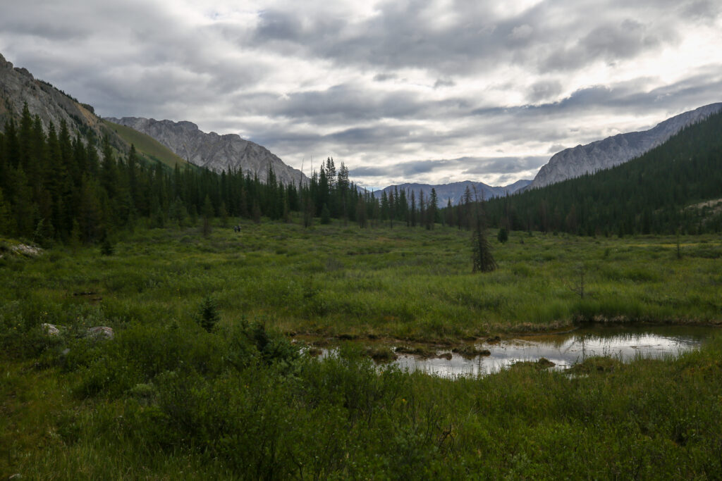
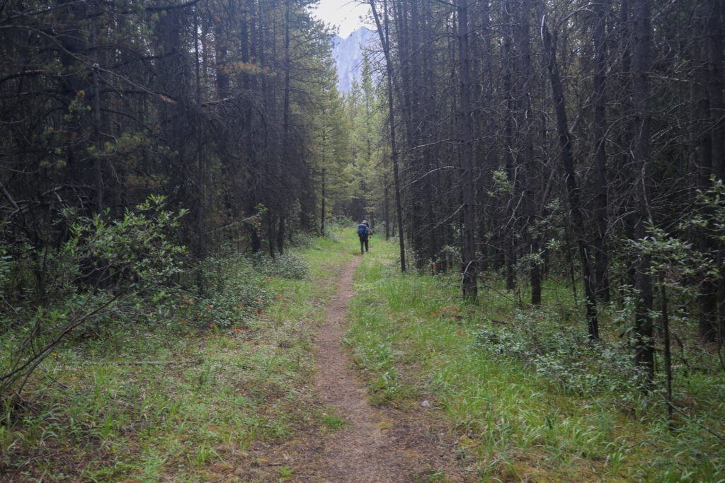
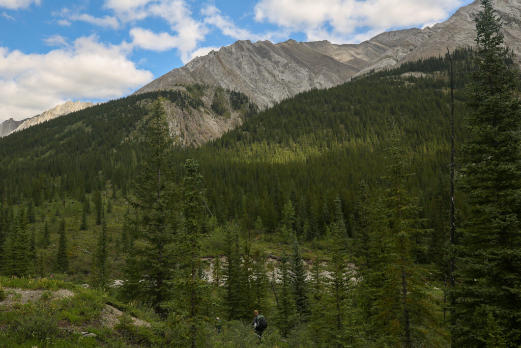
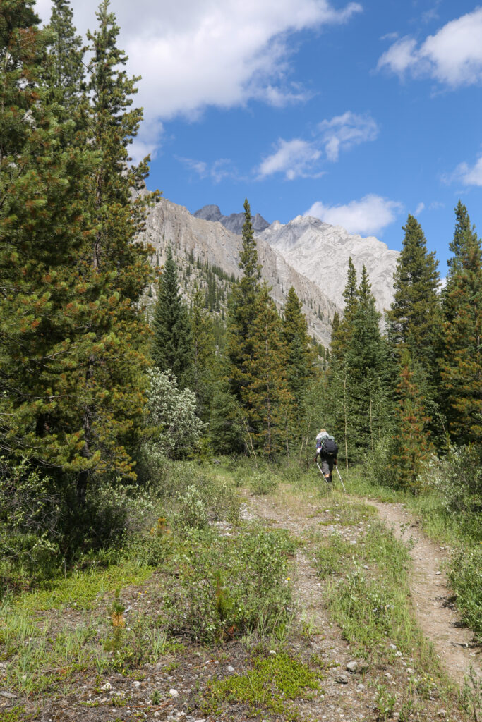
The turn off to the North Forks Pass Trail was a short 600 m hike from camp. The trail rises quickly through a couple of switchbacks before settling into a nice steady climb.
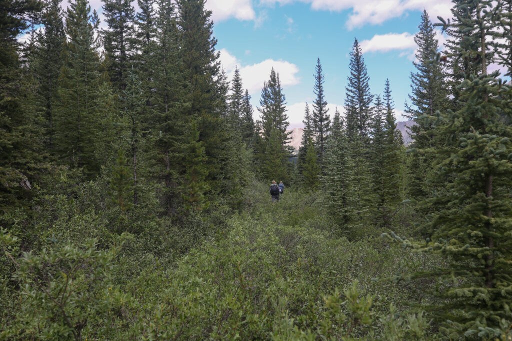
The trail is well worn and sees regular if infrequent use. The brush was so thick along some stretches that it was difficult to look down and see the trail. At one point the brush had grown so high I lost sight of Micah and Bent who were just metres in front of me. We did lots of yelling to warn the bears of our presence.
We arrived at a water crossing at 12:15 pm, having covered the 3.6 km from camp in just 45 min. The water crossing looked pretty straightforward but as it was lunch time we decided to find a spot to eat before considering if we wanted to continue up the trail.
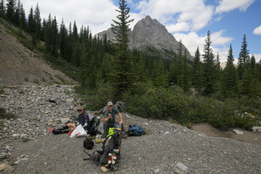
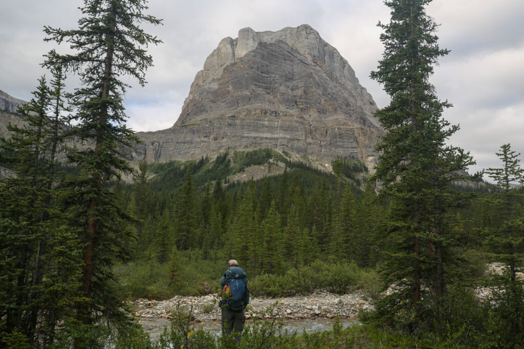
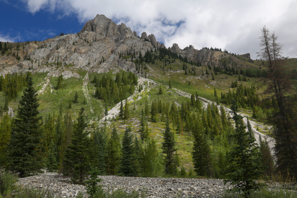
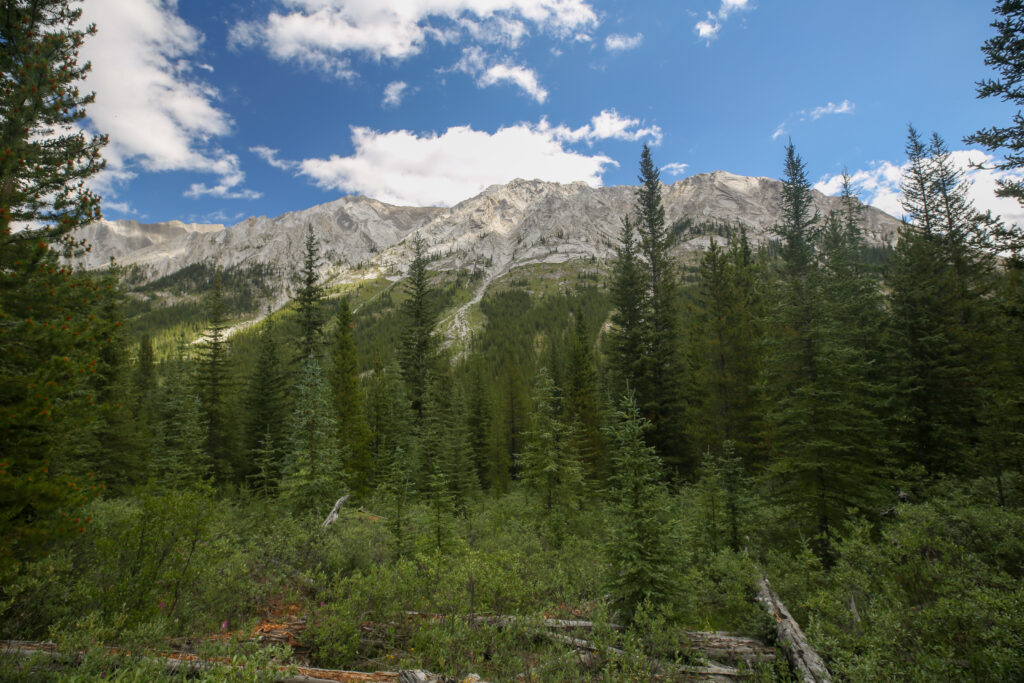
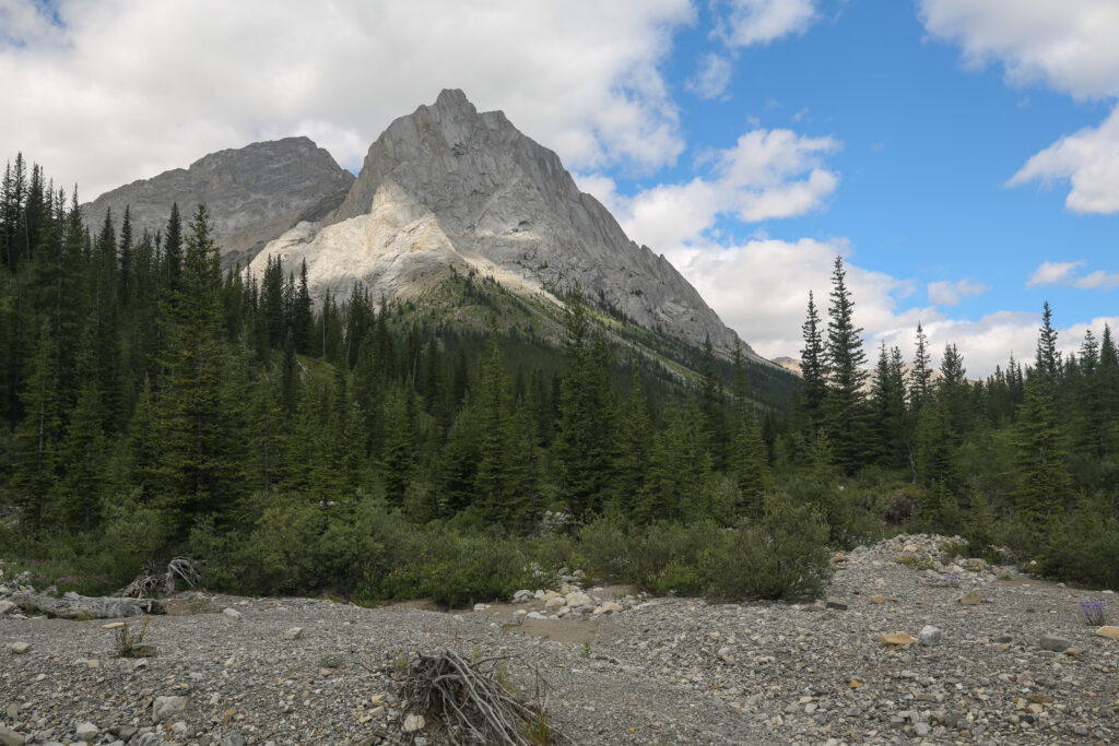
Our break last 2 1/2 hours. There was lots of chatter back and forth on a variety of topics. At one point I left to check out the river and take photos of Bonnet Peak. After returning Micah took some time to themselves to journal. With the time closing in on 2 pm we decided that we didn’t want to get the wet feet and persevere through the brush to reach the pass. Maybe sometime down the road we will make a plan to hike over North Forks Pass and down into the Panther valley and see the buffaloes!? But today it was now time to head back.
We arrived back in camp at 2:40 pm. It seemed like a quick and short hike back. A couple who had stayed at Block Lakes Jnc campground with us last night had arrived making for a full campsite. We would unfortunately not see Bob on this day as he would skip staying at Flints Park and continue onto Sawback Lake CG where we would be headed tomorrow.
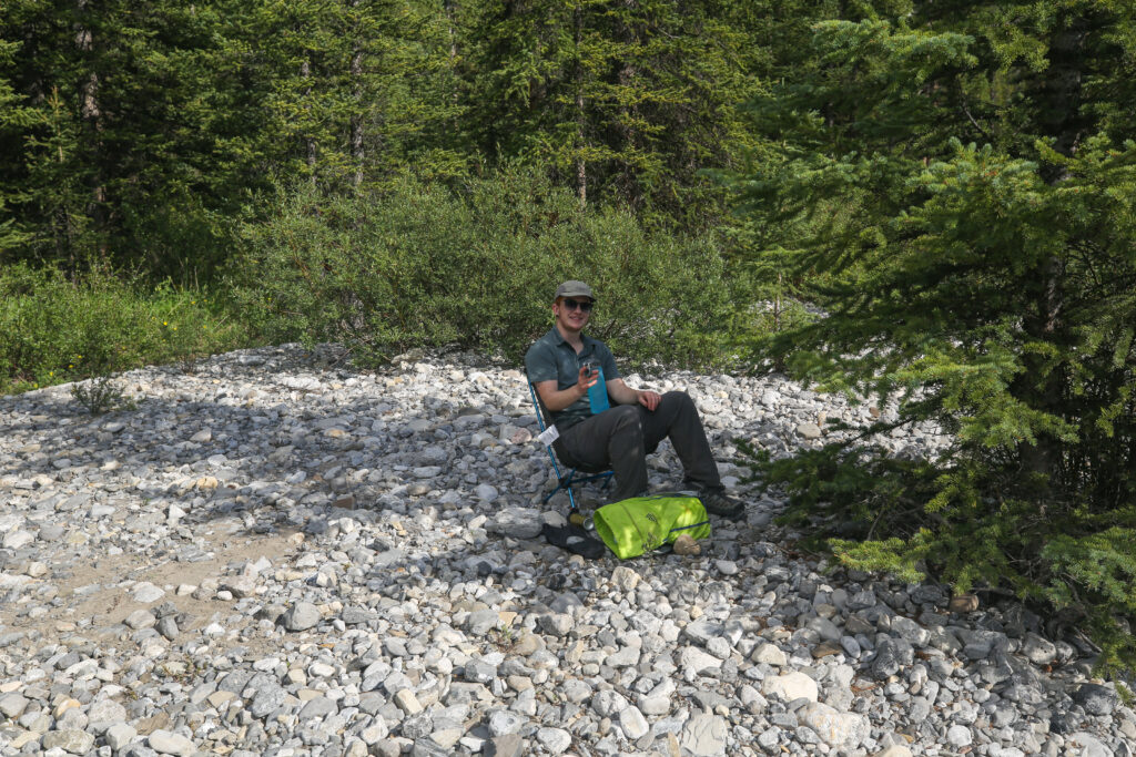
It was a chill afternoon. I found some shade and relaxed in my chair. The mosquitos were quite fierce but a light breeze kept them at bay. I discovered that my Dirty Girl gaiters did a great job at protecting my ankles from any attacks from the blood thirsty critters.
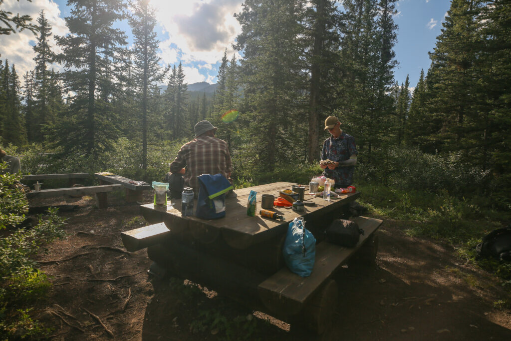
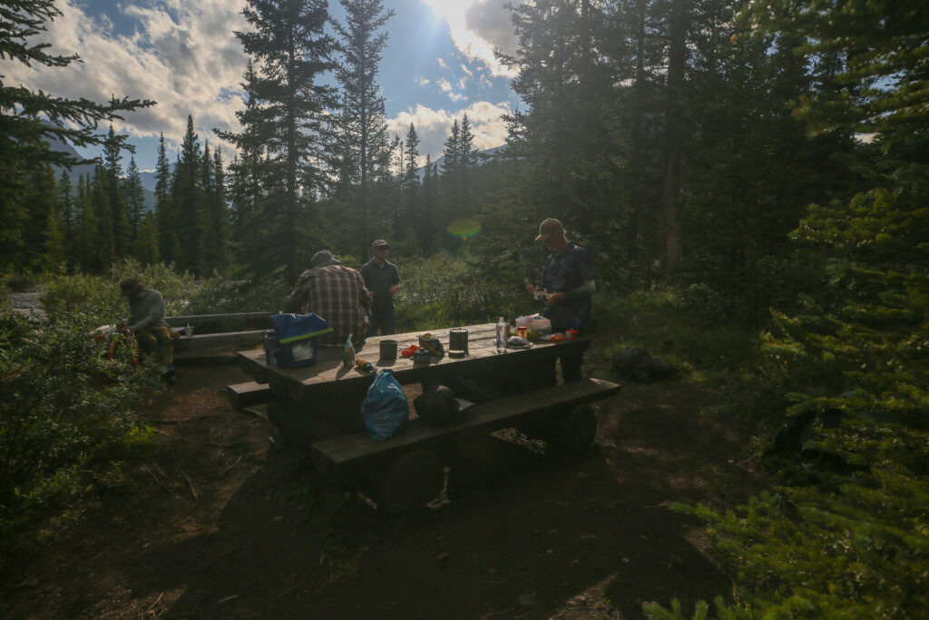
Dinner was a little unusual with the other groups in camp not being very talkative. The couple ate early and while she was willing to answer questions she did little to promote any conversation while the guy never said anything. The solo hike sat just a few feet away making dinner but made no attempt to engage in any conversation. After we had prepared our meals we all made the short trek to eat by the river.
I was considering getting up for the sunrise in the morning. I was feeling bad because I had missed a spectacular sunrise on Block Mt. Jordan wanted to stretch his legs so he came with me on a search for a good location to shoot the sunrise. Unfortunately there was no place to find an interesting photo or capture good light as the horizon was mountainous and quite high meaning there would not be any golden hour for photos.
After dinner Micah decided to do a physics dump on me. They talked about their experiments and what some of the challenges are in getting things published. Micah knows I do not understand the finer details of what they are doing but I do get the big picture.
After the physics dump we took a little pre-bedtime stroll up the North Cascade River to a small canyon complete with waterfall. It was a very pretty little spot and a fun time time doing a little exploring. I did not take my camera so there are no photos. Sometimes you just don’t need to take a photograph.
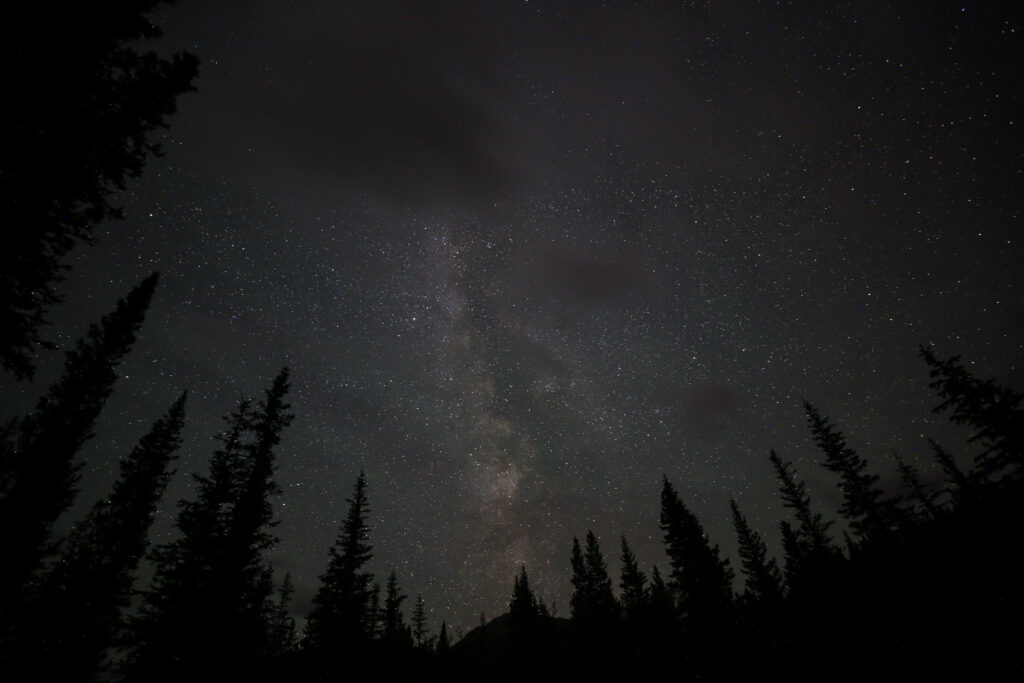
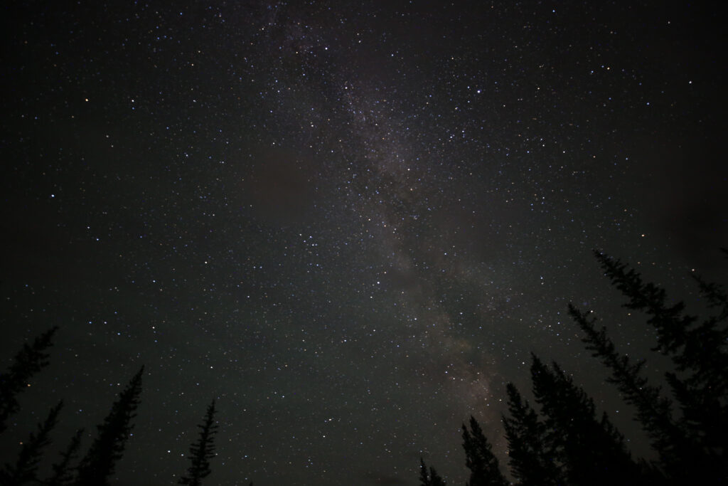
I did though get up in the wee hours of the night to take shots of the night sky. I only had to walk over to the creek just a short hop from the tent to gain a clear view of the sky. There was a fair bit of cloud that obscured the Milky Way but it was still entertaining to be out and about with the stars for company.