A big mileage recovery day.
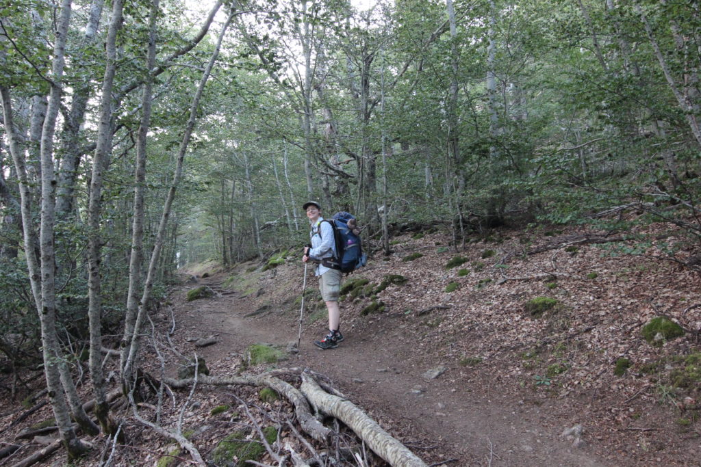
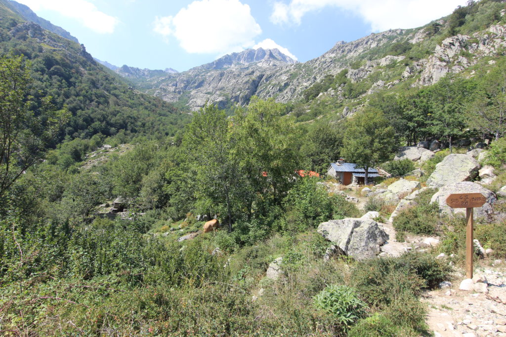
Vizzavona to Bergeries de Capannelle (combining Stages 10 and 11)
Vizzavona – Bergeries de Capannelle (Stage 10)
Distance 16km, 1000m elevation gain, 335m elevation loss.
Bergeries de Capannelle – Refuge de Verdi (Stage 11)
Distance 14km, 320m elevation gain, 620m elevation loss.
This was our second double stage day, and our longest distance hiked of the trip, but was relatively, a very easy day.
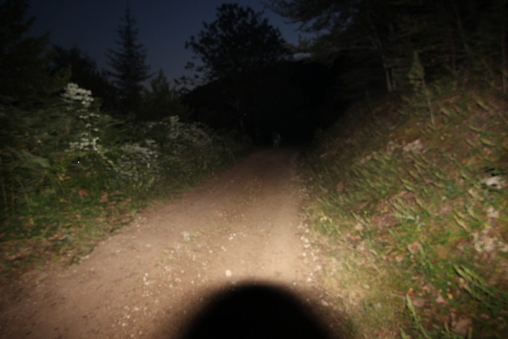
We were up and out of the hotel well before dawn, using headlights to navigate out of town. Lots of rocks on the trail initially, but wide and easy to follow. We ended up on a dirt road as the sky lightened and then just managed to spot the turn off onto a wooded trail.
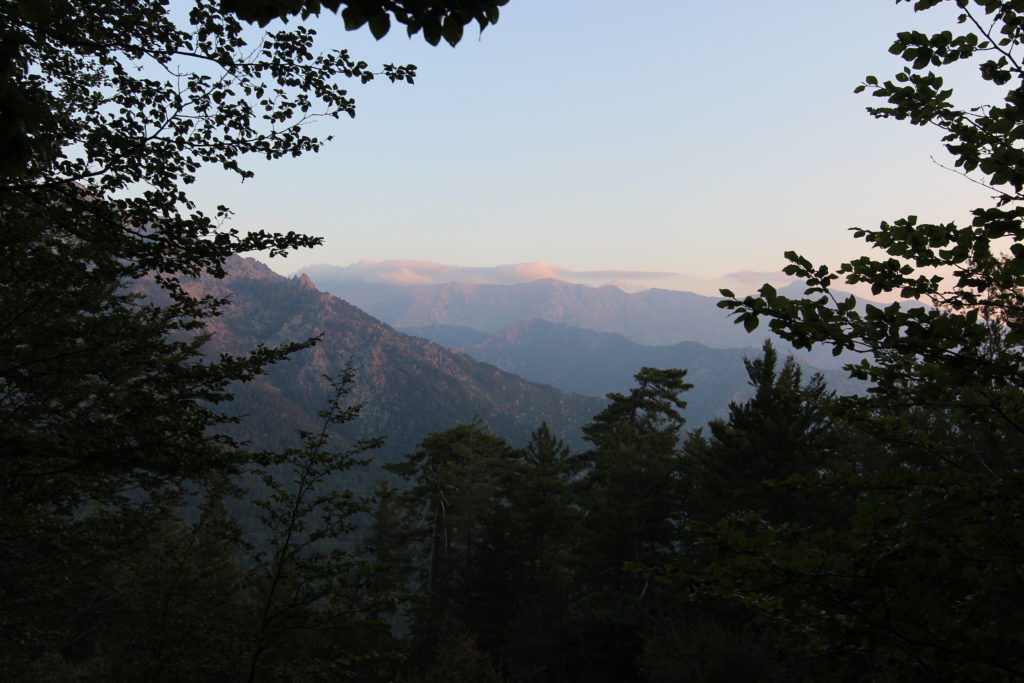
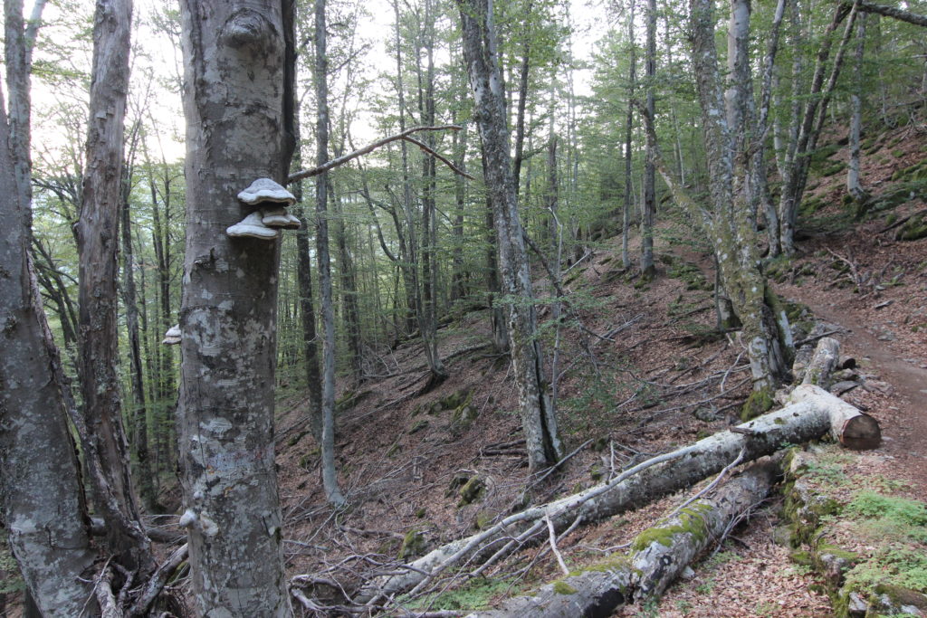
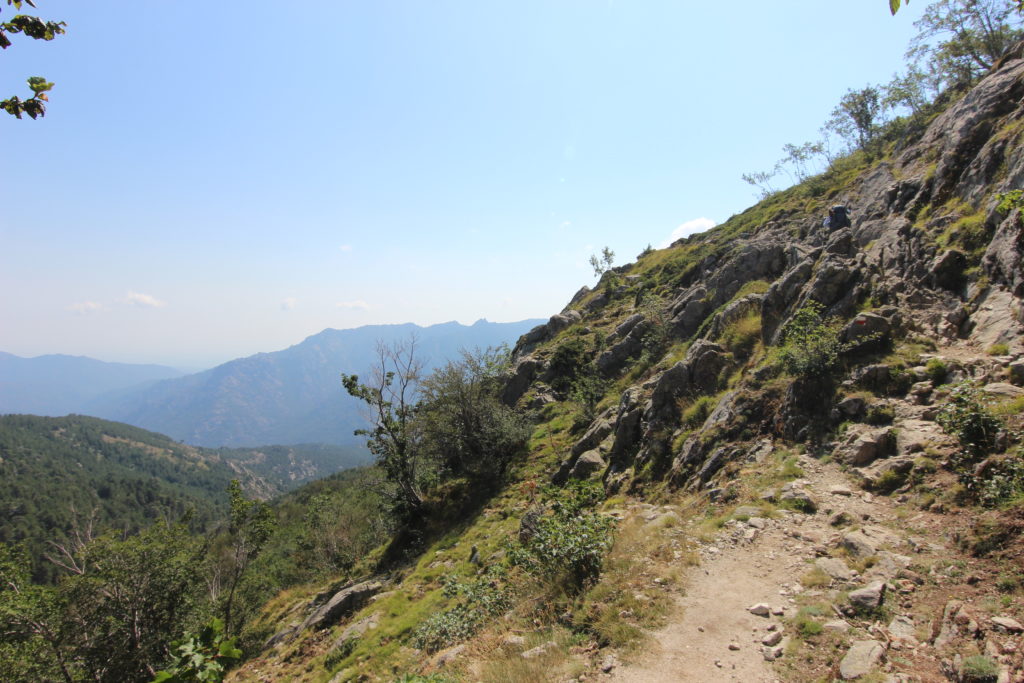
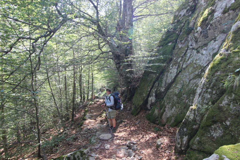
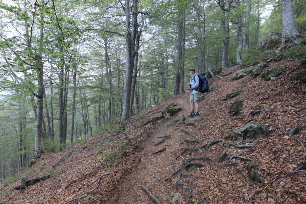
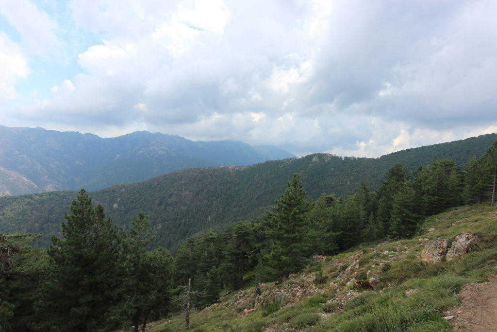
After the last week, being on a dirt trail was downright lovely. We gently zigzagged uphill through the trees, noting the changing foliage—ferns to grasses to moss. At the top of the ridge we admired the view of soft rolling ridges ahead, and the distant sea. Then we traversed along the mountainside, occasional peeking out of the trees to get views. So easy compared the North half.
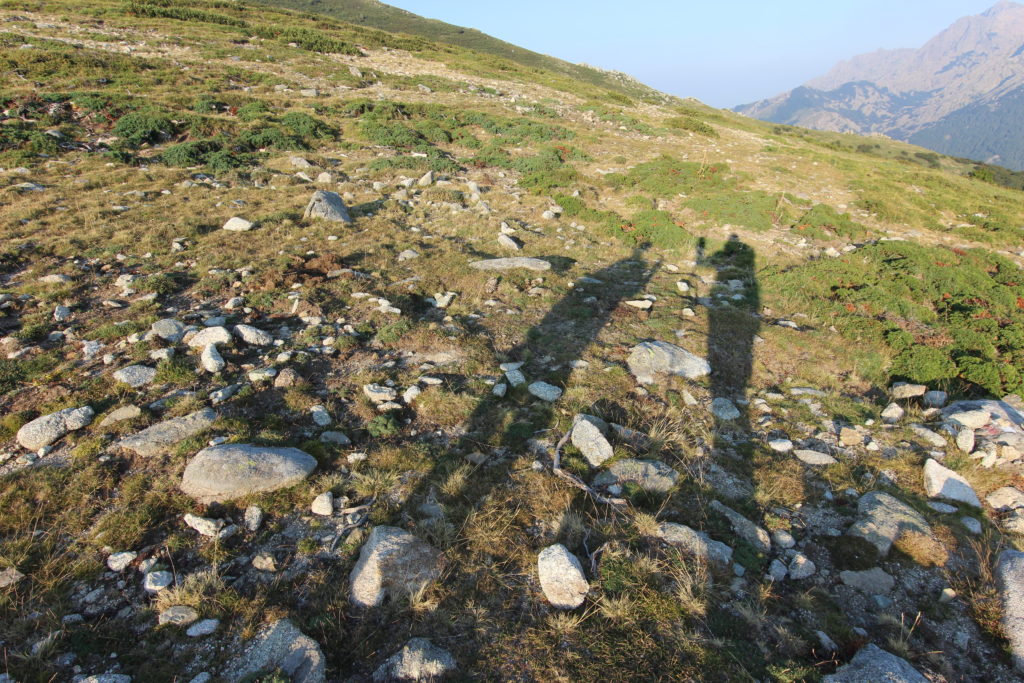
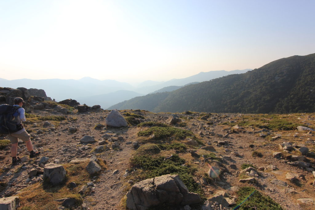
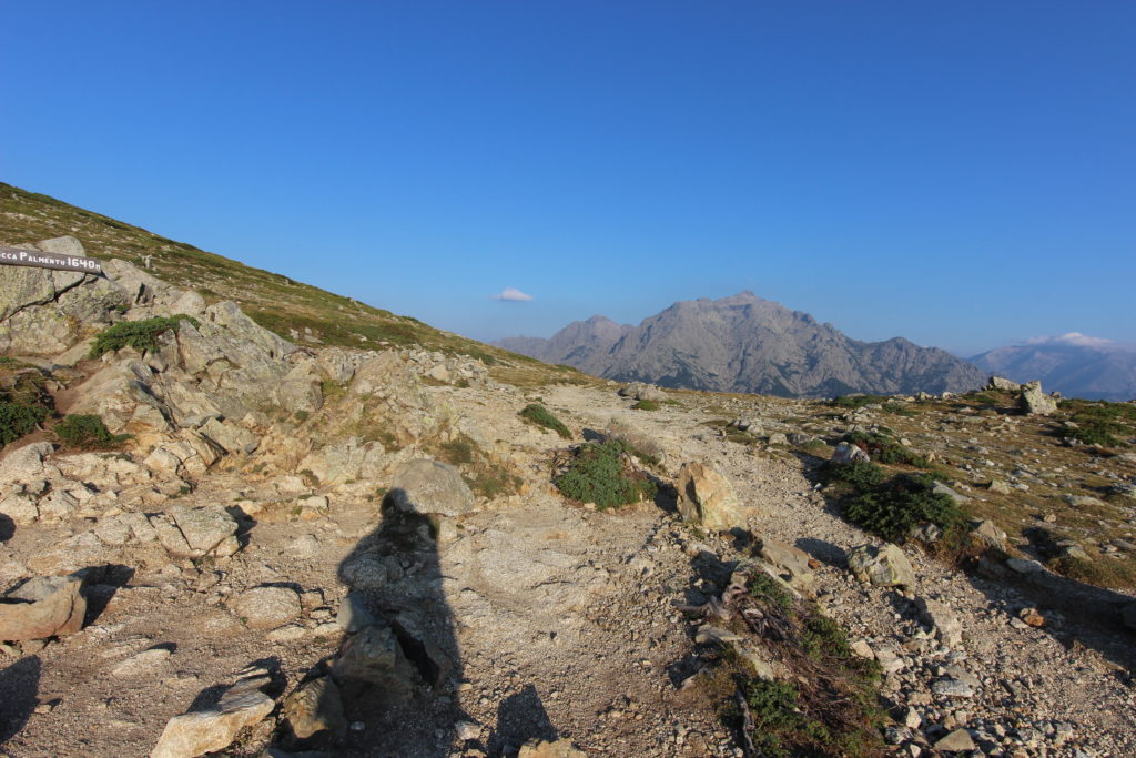
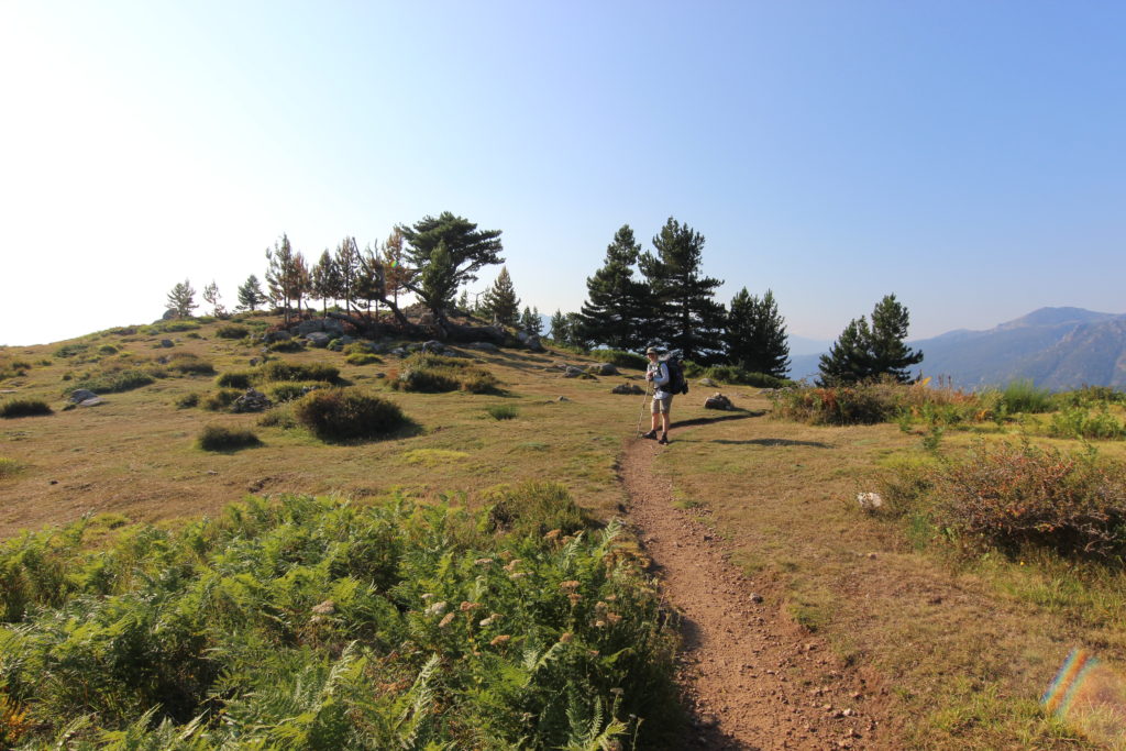
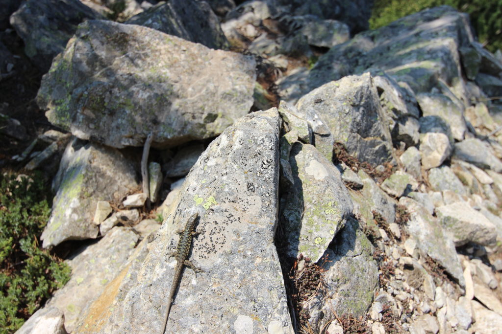
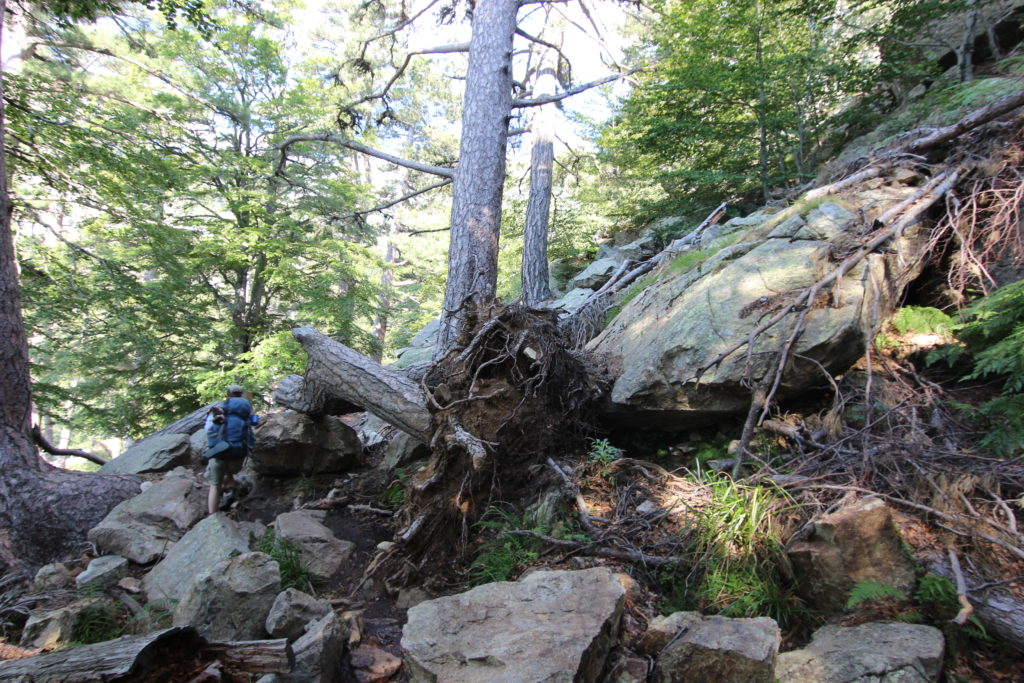
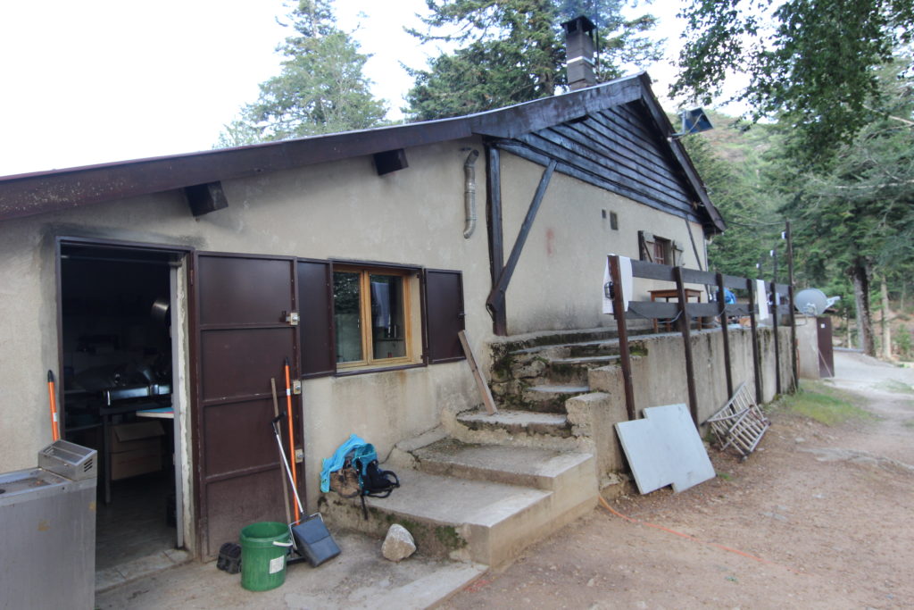
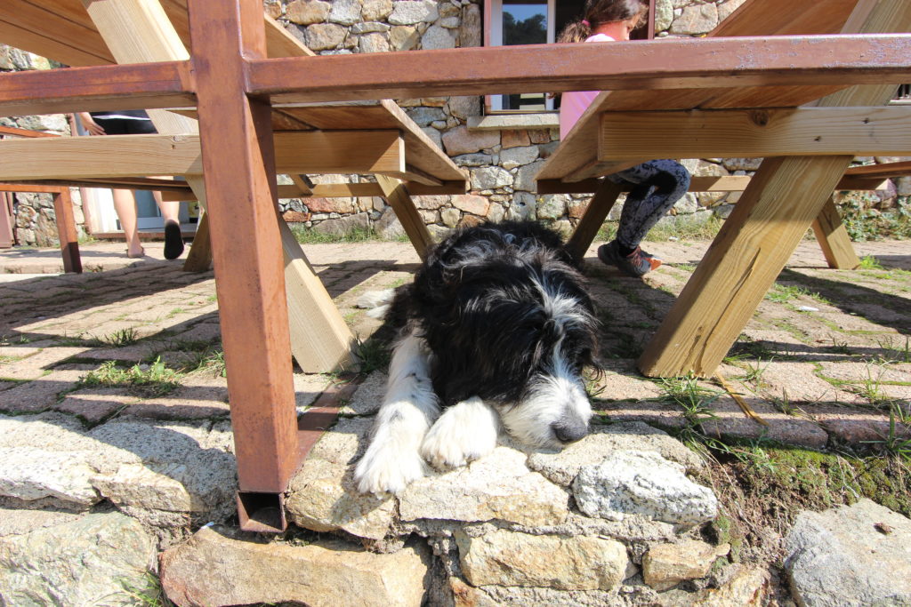
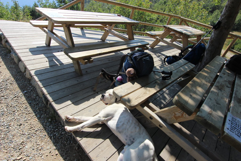
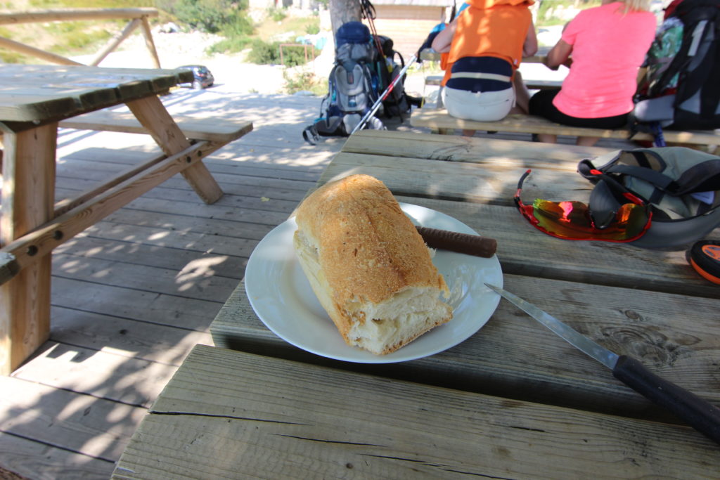
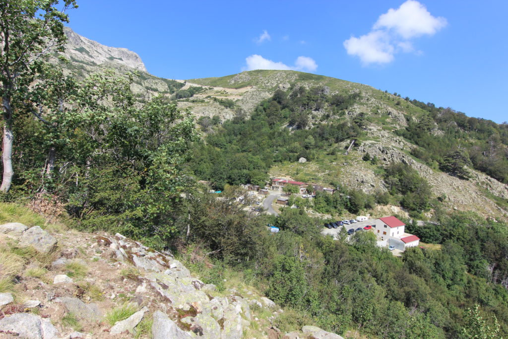
There was a short slog up a rocky path and then we reached a road and a more scrambly path to the first refuge of the day, at a ski hill. We were finally high up enough to see the jagged tops of the mountains. We were so early they weren’t even serving hot food (dashing Micah’s dreams of a plate of fries). But there were two dogs that needed attention.
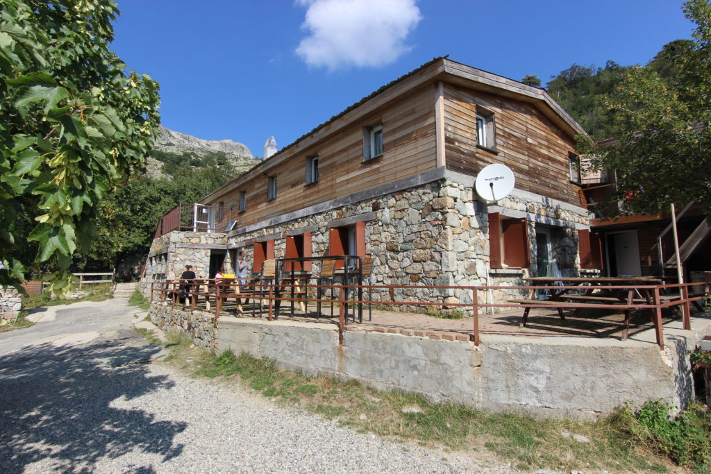
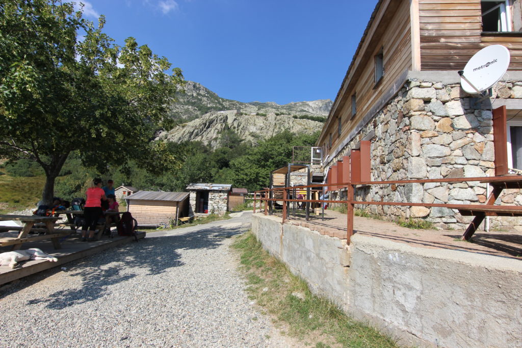
We continued on, the trail much the same. Little bits of up and down, but generally pretty flat. We had chosen not to do the high route today, and we were vindicated in that decision as we watched big towering thunderclouds building.
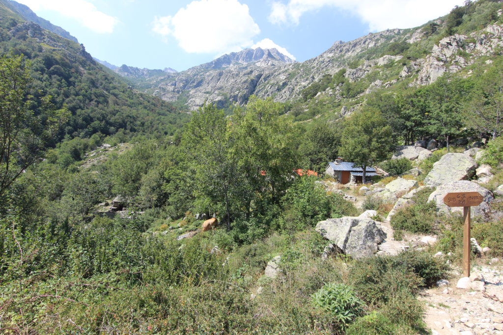
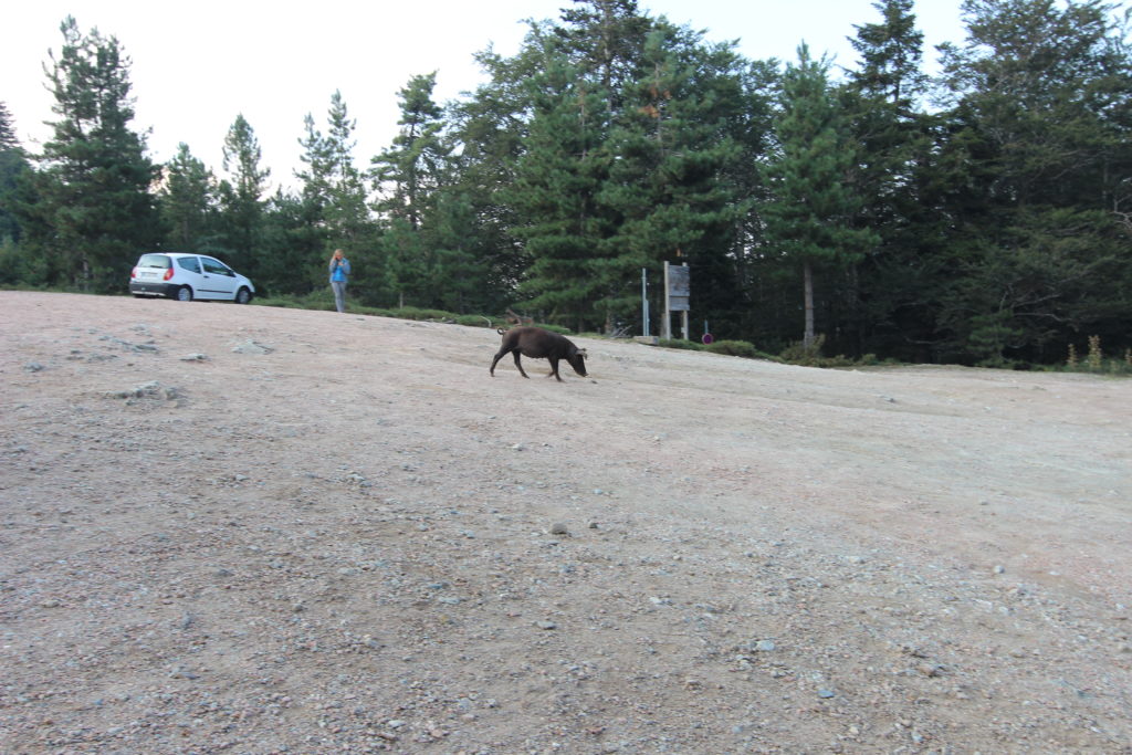
We raced the last couple kilometers to the bergerie, passing pigs digging in the dirt and donkeys wandering about.
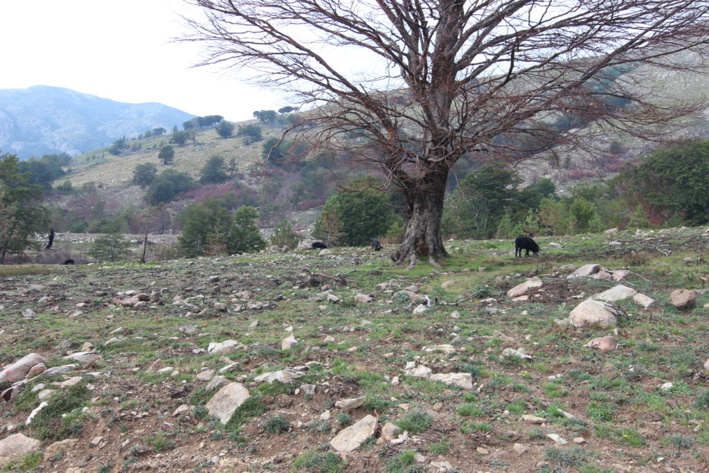
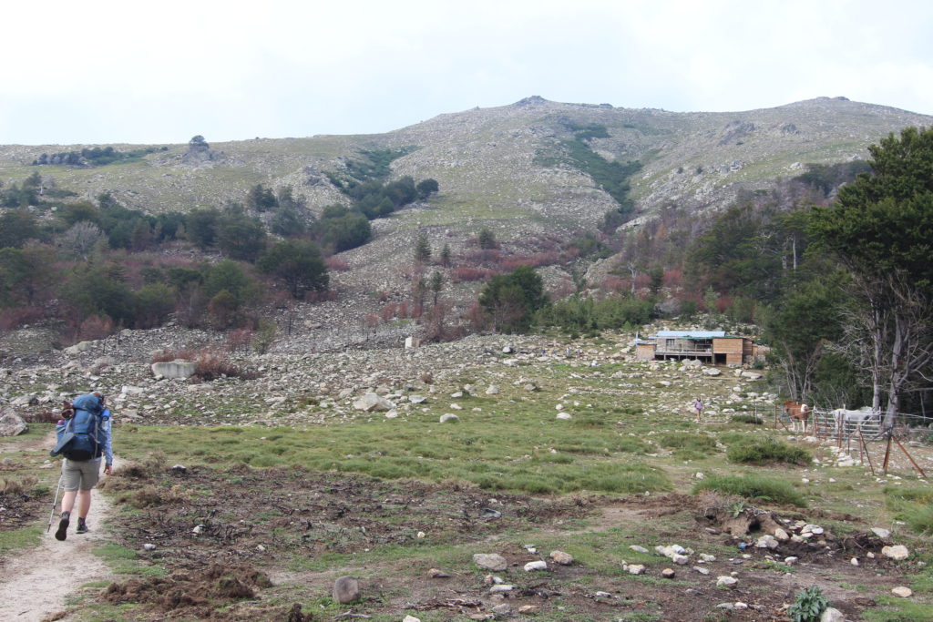
The bergerie, Casetta di Ghjalcone was strangely deserted. We hid under the tarp, which was a little patchy but kept us largely dry as the thunderclouds passed over, barely raining on us. When we’d been there a couple hours and the berger had still not arrived we decide to do the last five kilometers to the next refuge. We realized later that the bergerie had stopped accepting campers, and was only offering food and snacks, so we were happy to move along. Micah felt that it had a really bad vibe.
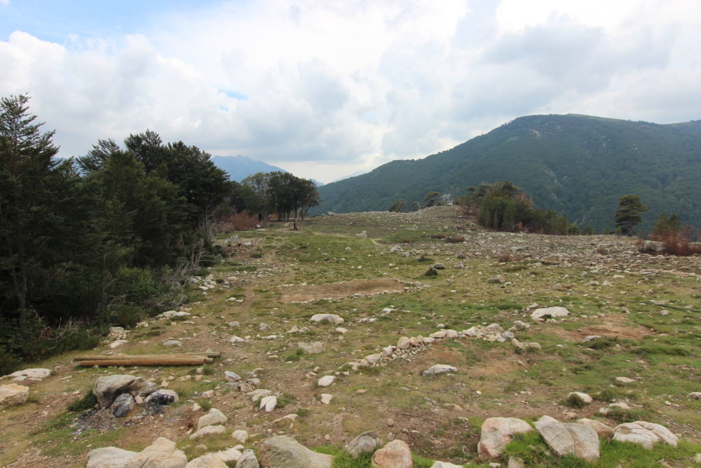
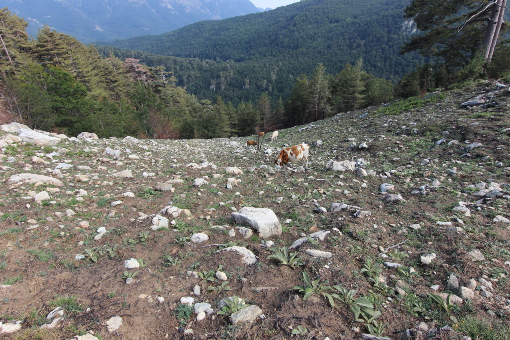
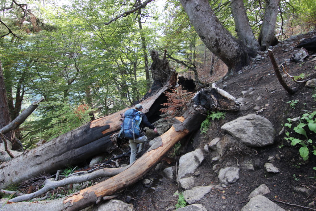
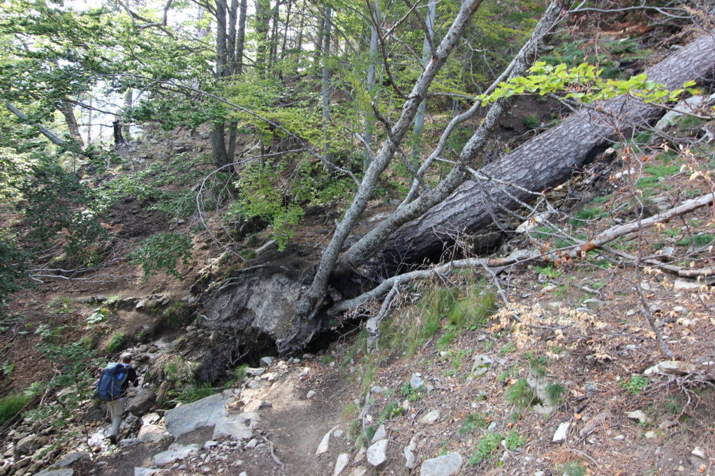
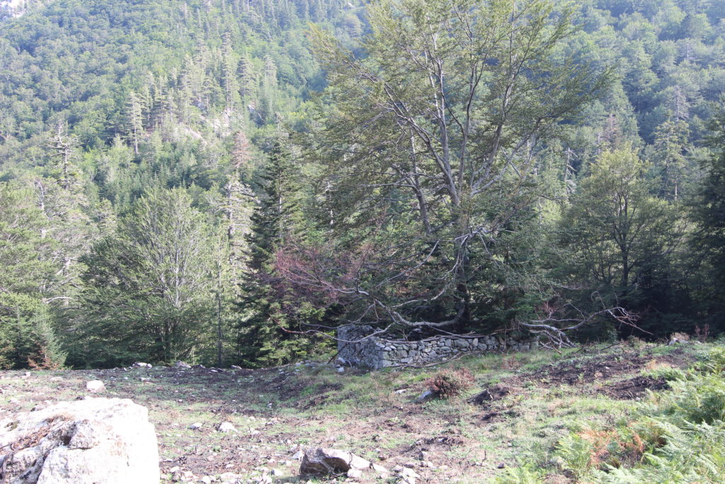
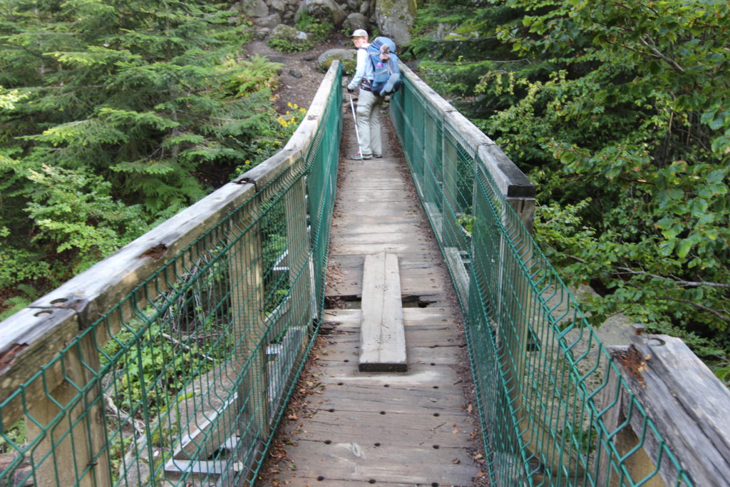
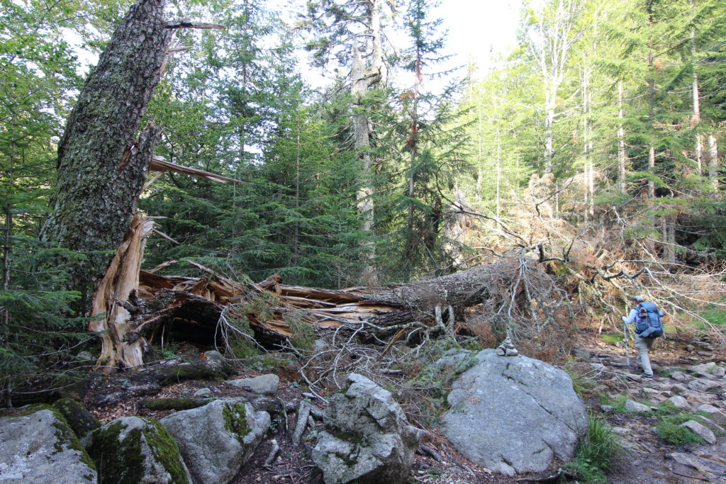
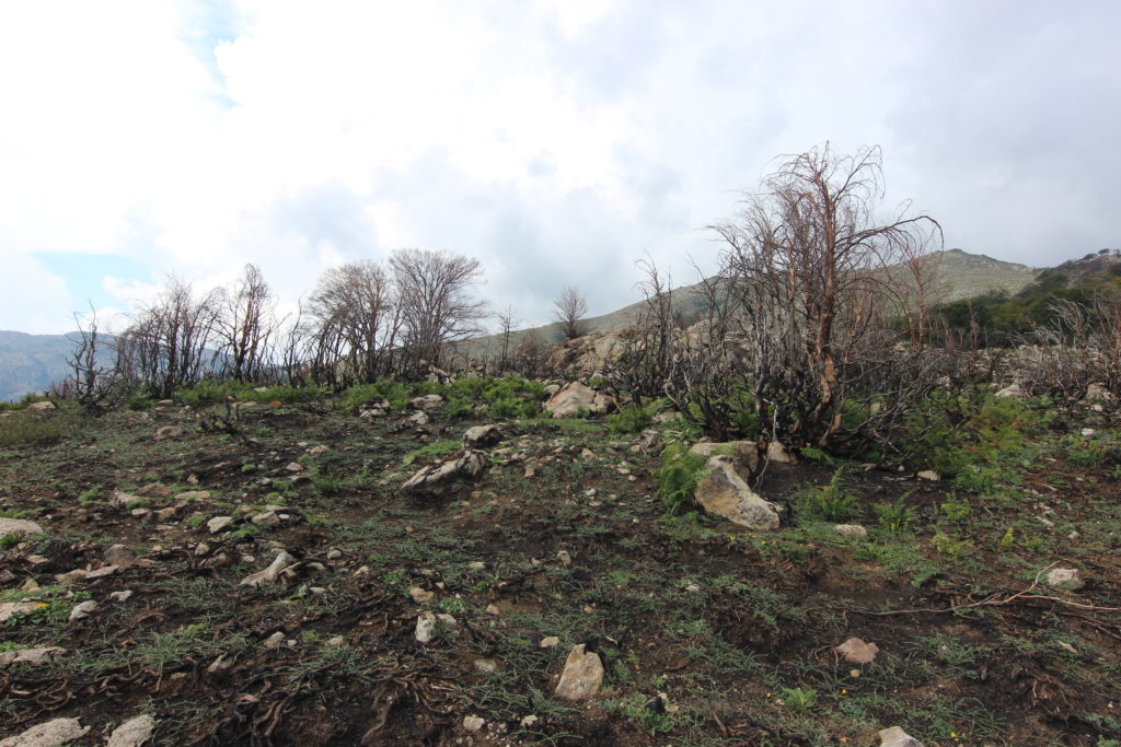
The ground was burnt out from an old fire and there were many trees burnt black around the base, plus a whole bunch of them fallen over the path that we had to pick around or climb over. The trail looked like it hadn’t seen trail maintenance in years. We crossed over a bridge with a broken board (!) and then the trail smoothed out again and we trotted into the refuge an hour later.
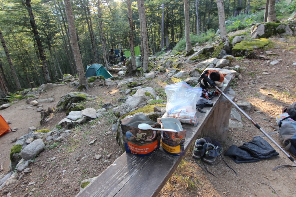
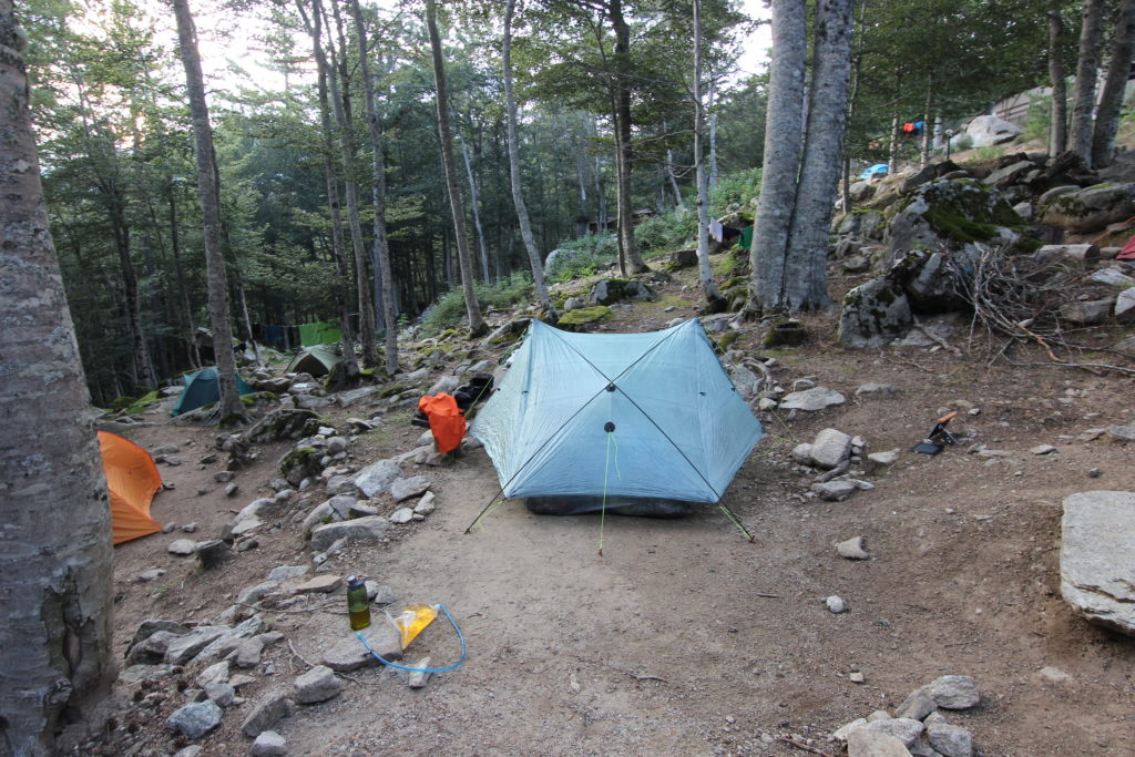
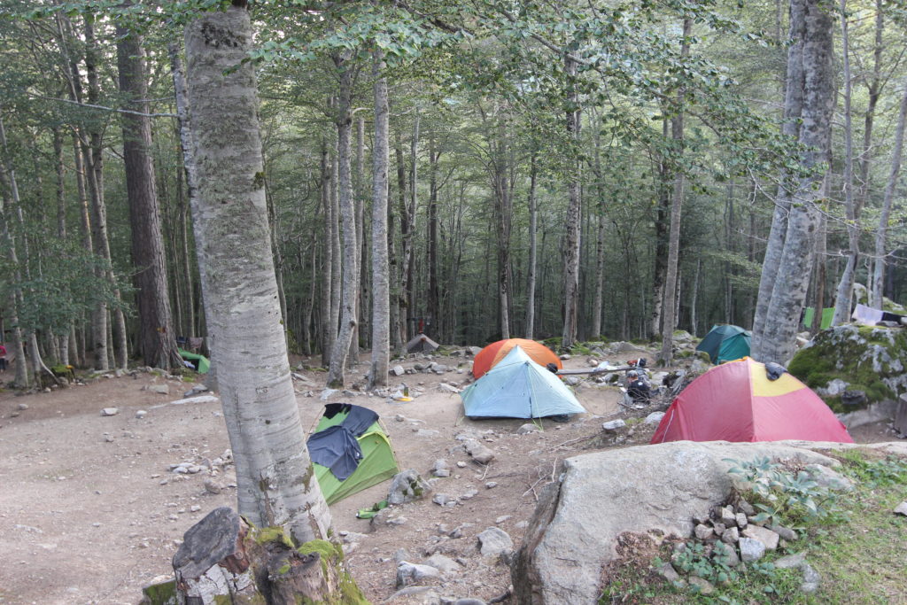
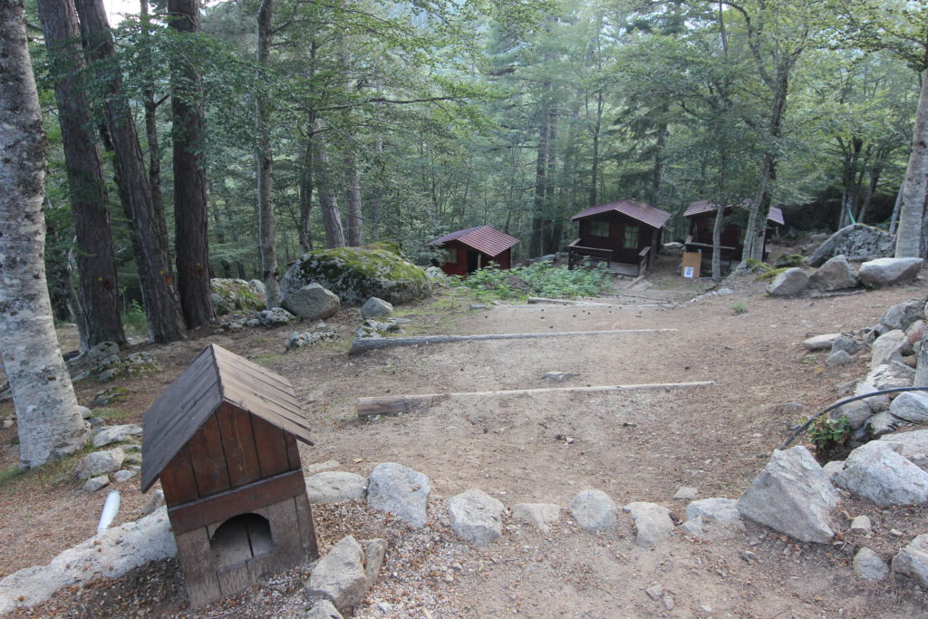
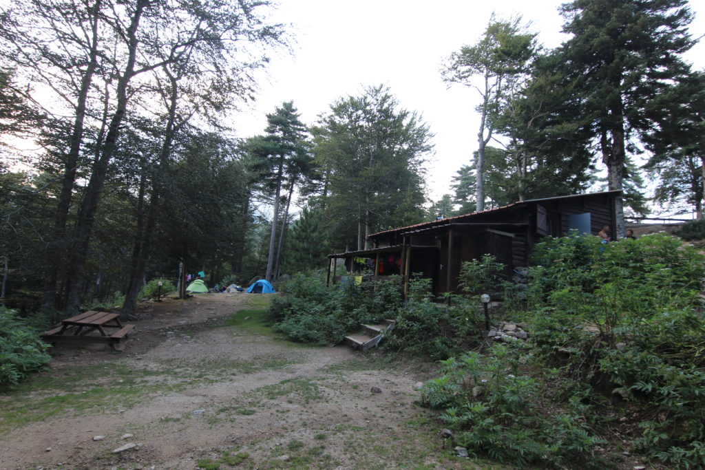
It was quite nice, with a friendly vibe, even if we’re not really socializing. Despite the long distance, we felt pretty okay, probably thanks to the lack of big elevation and the long break for the storm.
