
Up the Giant Steps to a lake.

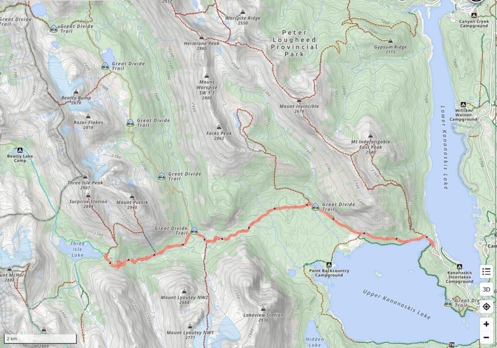
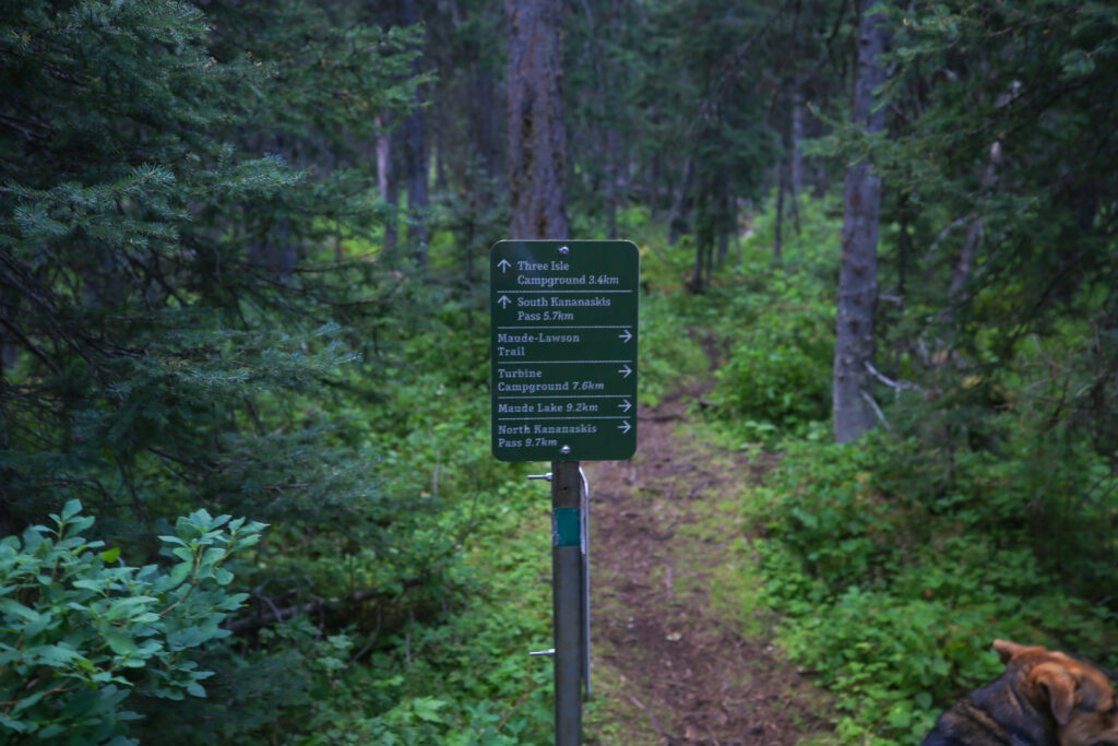
Day 1 Interlakes Parking Lot to Three Isle Lake CG, 12 km, 565 m elevation gain, 96 m elevation loss, 4 hrs 50 min.
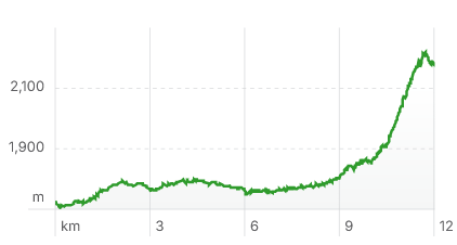

It took about 1 hr 20 min to drive and to get ready for the hike. The weather was perfect for hiking sunny blue skies and warm but not hot.
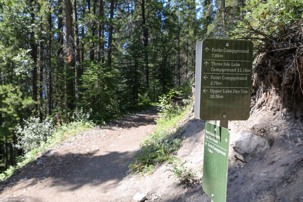
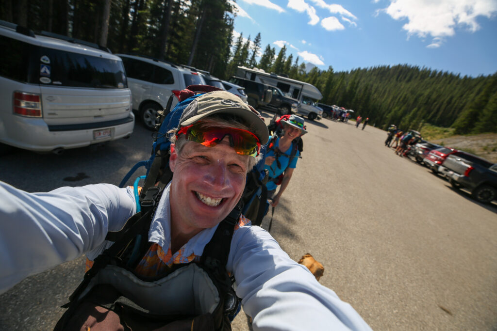
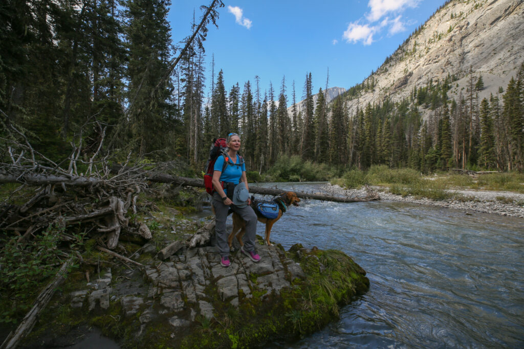
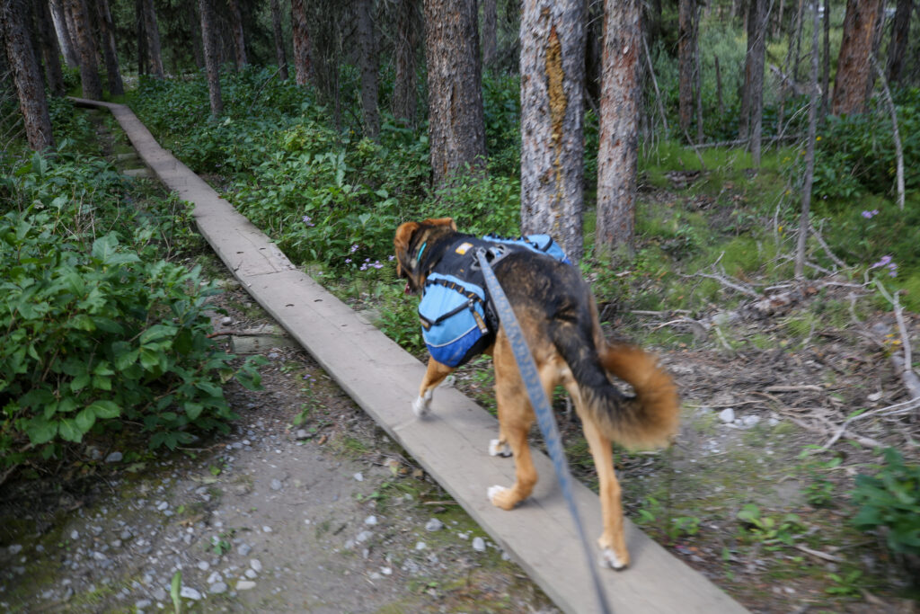
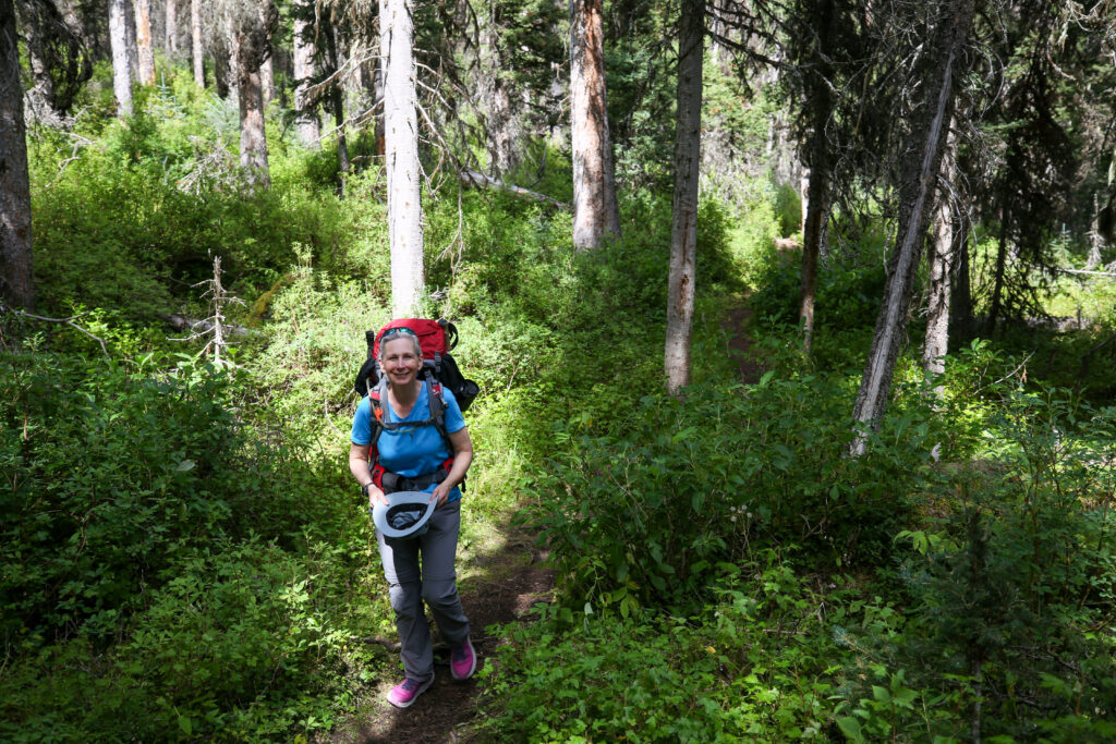
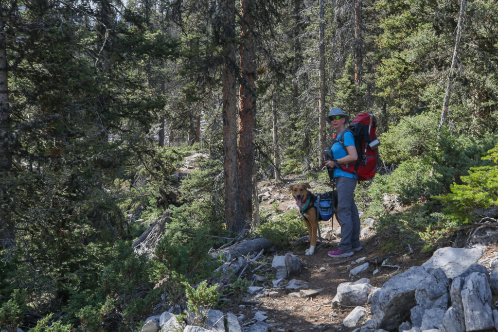
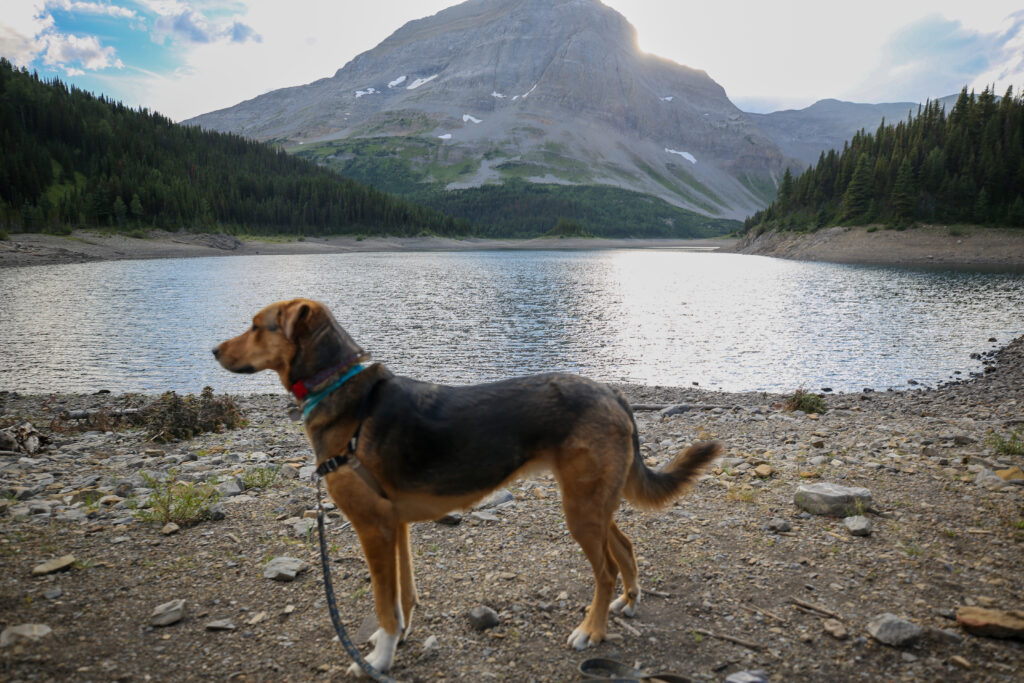
Continuing past the junction was new trail for Laura. We have circumnavigated Upper Kananaskis Lake before which would entail turning left towards Point Campground. I had gone further down the trail on two occasions. Margaux had never been down this trail so she was super excited to explore further and expand her territory.
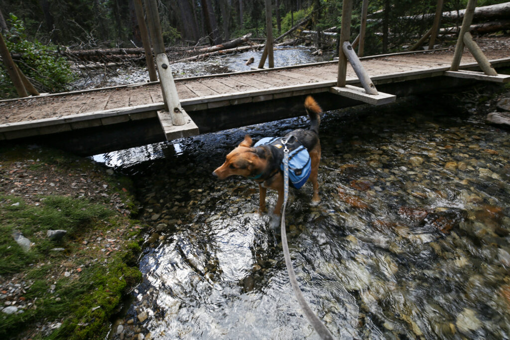
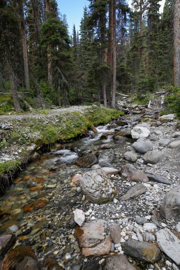
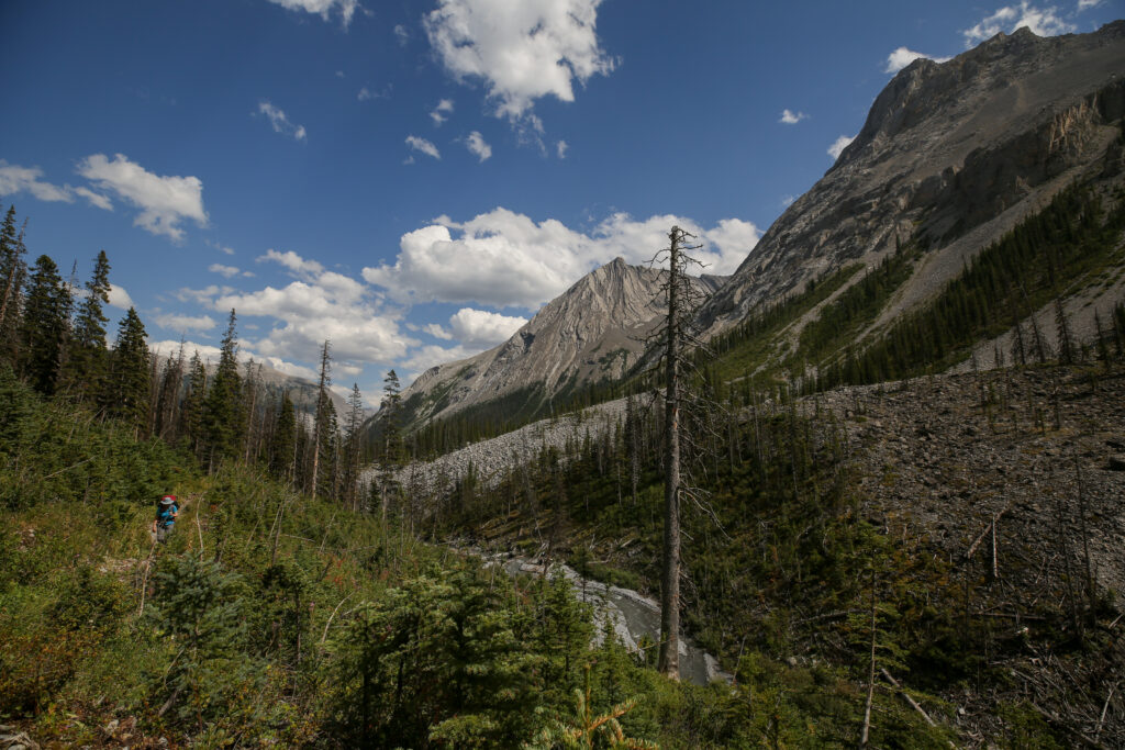
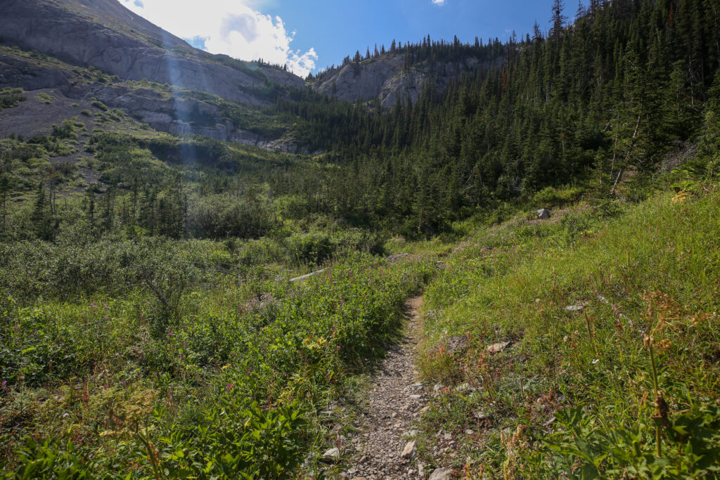
The bridge over the Nomad Creek is a fairly significant junction. The wide fire road trail ends at the bridge transitioning to a well maintained but more typical backcountry trail. The bridge being 4 km from the parking lot is also a good place for a break. The creek side setting is very pretty and with numerous logs to sit on the area naturally lures people into lingering. We did not stop on our outward bound leg of our trip but did stop for lunch as we passed through on our final day. There had been very little elevation to this point and the trail would remain mostly flat for another 5 km.
As we continued down the trail it was interesting to see some landscape fabric poking up from beneath our feet. Obviously when the trail was originally built the trail crews laid down fabric to keep the vegetation from encroaching onto the footpath. With constant use naturally keeping the vegetation in check I do not really see the need to go to the expense to install the fabric.
The naming of the mountains in Peter Lougheed Provincial Park exhibit a distinct military influence. For example Mt Indefatigable was named after a battleship. Some of the names commemorate foreign officers but I was particularly drawn to the naming story for Mt Worthington. Lt Colonel Donald Worthington was born in Vancouver in 1913 and was killed while leading his troops during the battle of Normandy in 1944. I found the following tribute on the website, https://cdnrockiesdatabases.ca/peaks/1552, and the writer of the tribute, Ross Munro also had an interesting history. Ross Munro was born in Ottawa and was one of Canada’s foremost war correspondents. Through his career he was recognized as an Officer of the Order of Canada and was made an Officer of the Order of the British Empire (OBE).
Lt.-Col. Worthington was a fearless, inspiring figure as he moved around the fire-swept square on foot, encouraging the men and organizing the defense … In the afternoon, he was hit by shrapnel when he was out on the perimeter trying to point targets for Canadian artillery. But he carried on. Late in the day he was killed and his regiment’s tribute to him is—there could not be a better commanding officer.
(Ross Munro, Vancouver Province, 4 Dec 1944)


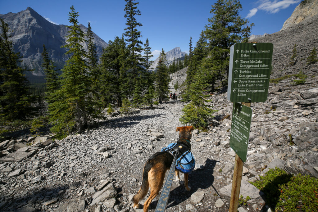
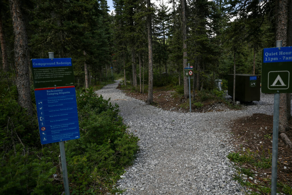
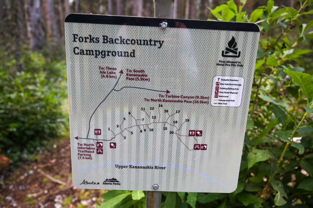
Note how the placement of Forks Campground is different in the above photos. Historically the trail up to Turbine Canyon and North Kananaskis Pass ran through the campground as per the GemTrek Map above on the right. With the recent refresh to Forks Campground Alberta Parks took the opportunity to reroute the trail out of the campground as reflected in the photo of the Gaia App with the trail off to the left of the campground. I think it is amusing that while the people behind Gaia have moved the trail they failed to move the Great Divide Trail emblem. Now the emblem sort of sits in the middle of nowhere.
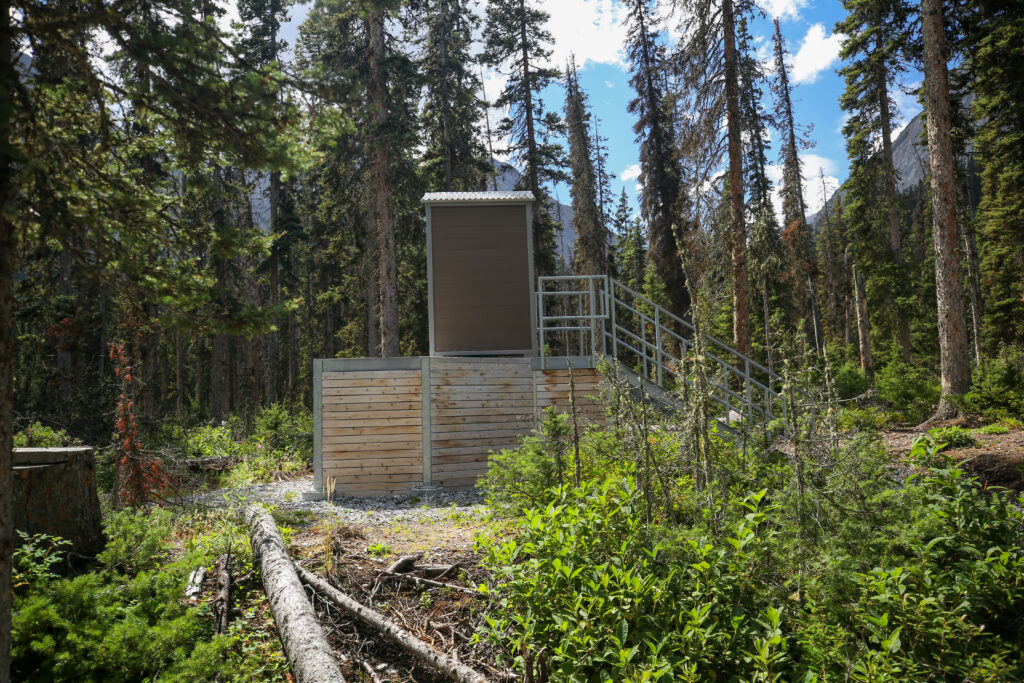
Forks Campground has undergone a recent refresh as has many of the backcountry sites in Peter Lougheed PP, although Three Isle Lake CG was ignored. While it may help with erosion I am not a big fan of the liberal use of gravel in the walking areas. I feel it takes away from the natural feel of a backcountry campground. This is only a small complaint as the campground was very nice.
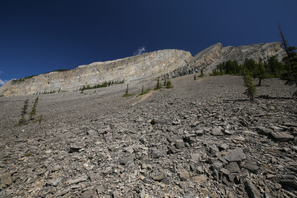
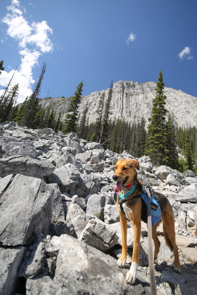
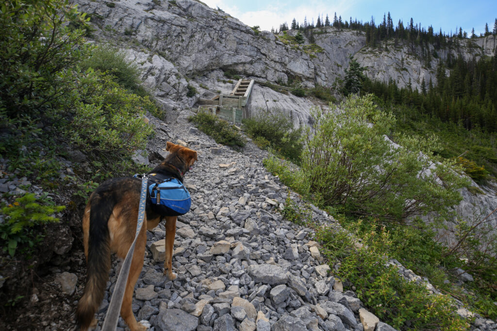
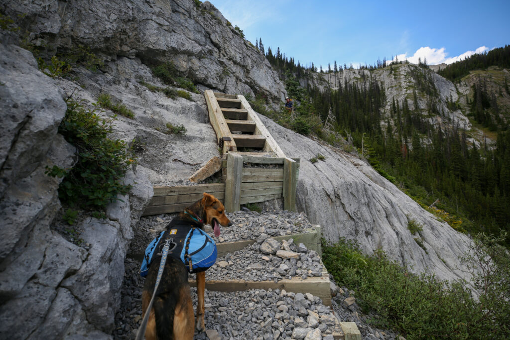
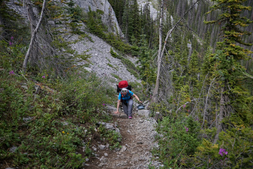
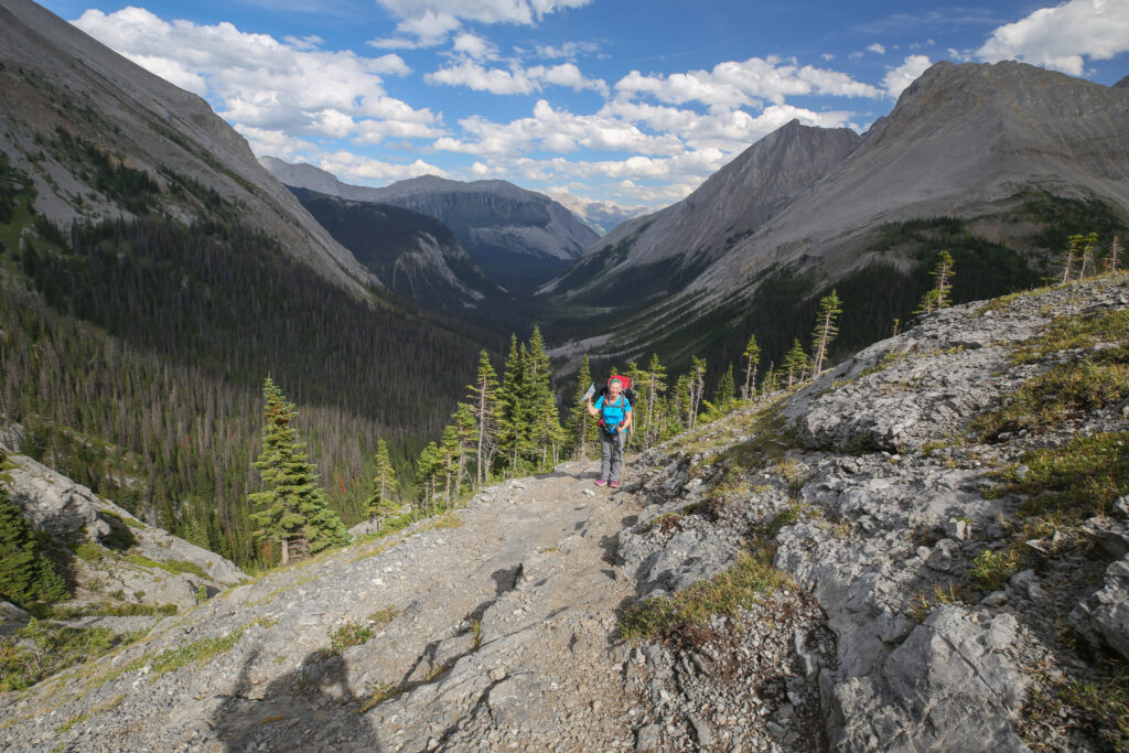
After spending the day on nicely graded trail all that changed when we headed up the slide slope. Soon after we topped out over the side slope the trail quickly came to a boulder field a remnant of an old rockfall. The trail never returns to its pre-Forks CG condition but while a little rougher it is still a very good trail.
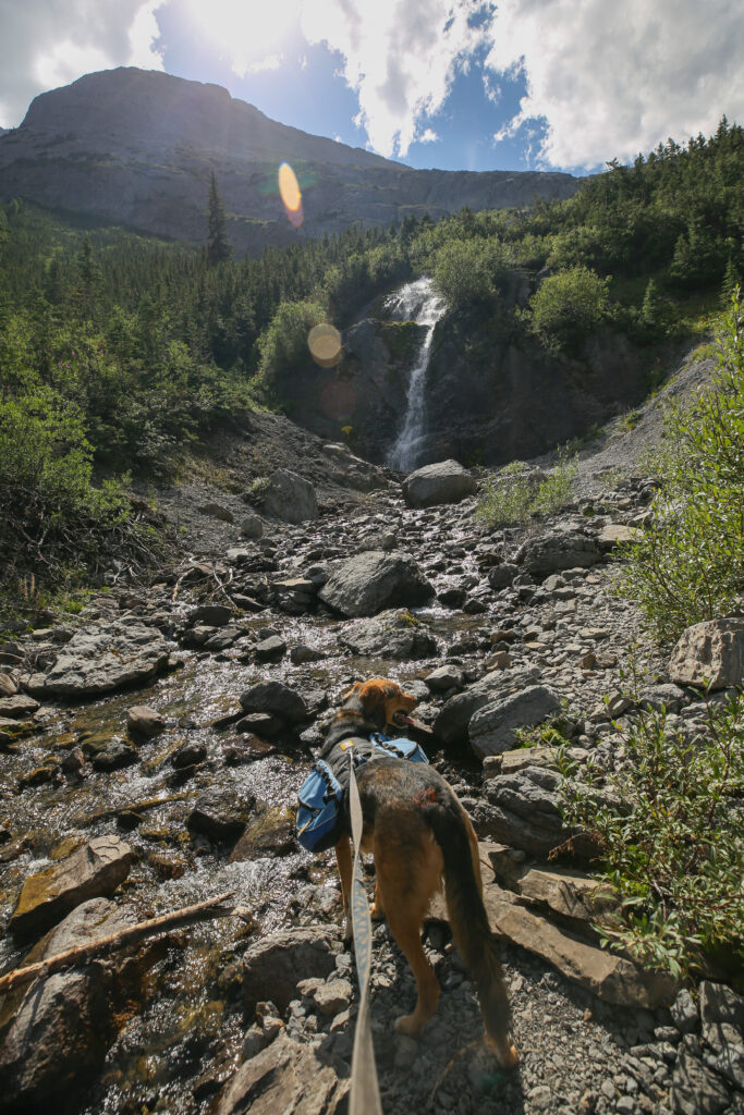
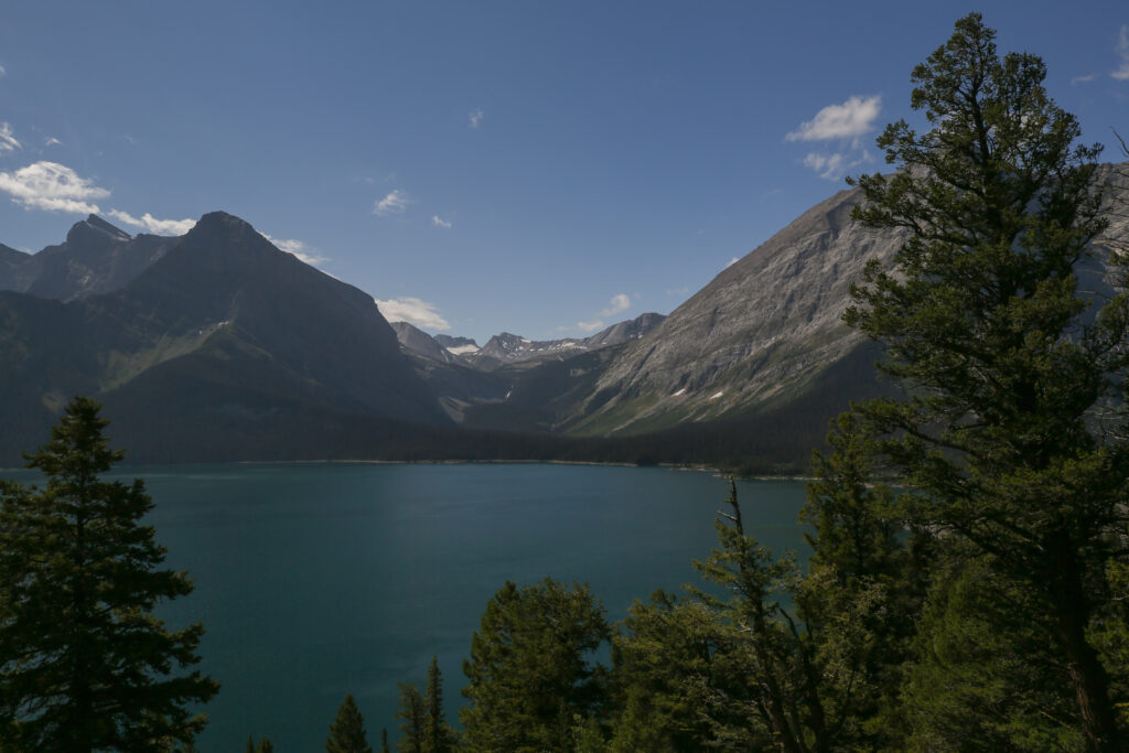
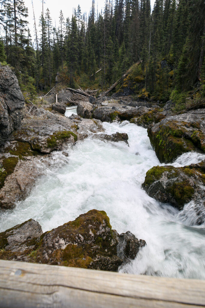
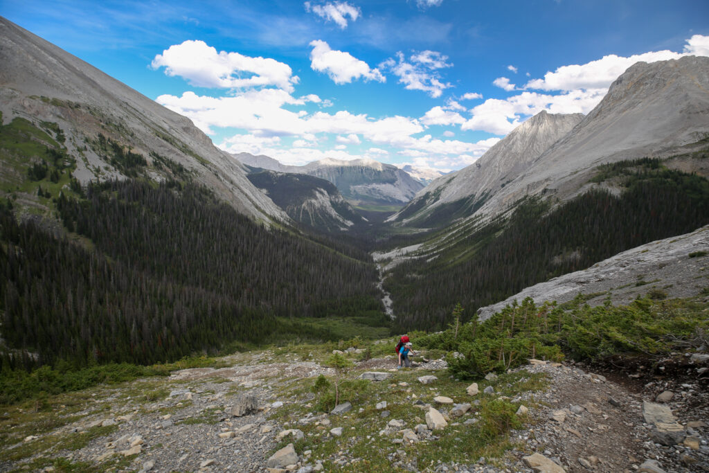
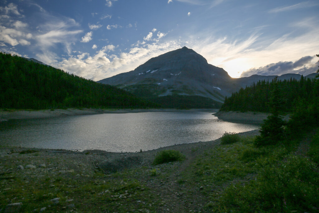
Three Isle Lake has no obvious outlet stream. The lake is actually the low point of several drainages. So where does the water from the lake go? The water leaves Three Isle Lake though cracks in the limestone bedrock. This drainage feature produces what is called a karst lake. Once underground water could go many places as it follows underground fissures in the rock. The water from Three Isle Lake makes it way to the headwall we have to climb and comes bursting out of the rock creating Three Isle Creek which we have been following since Forks Campground.
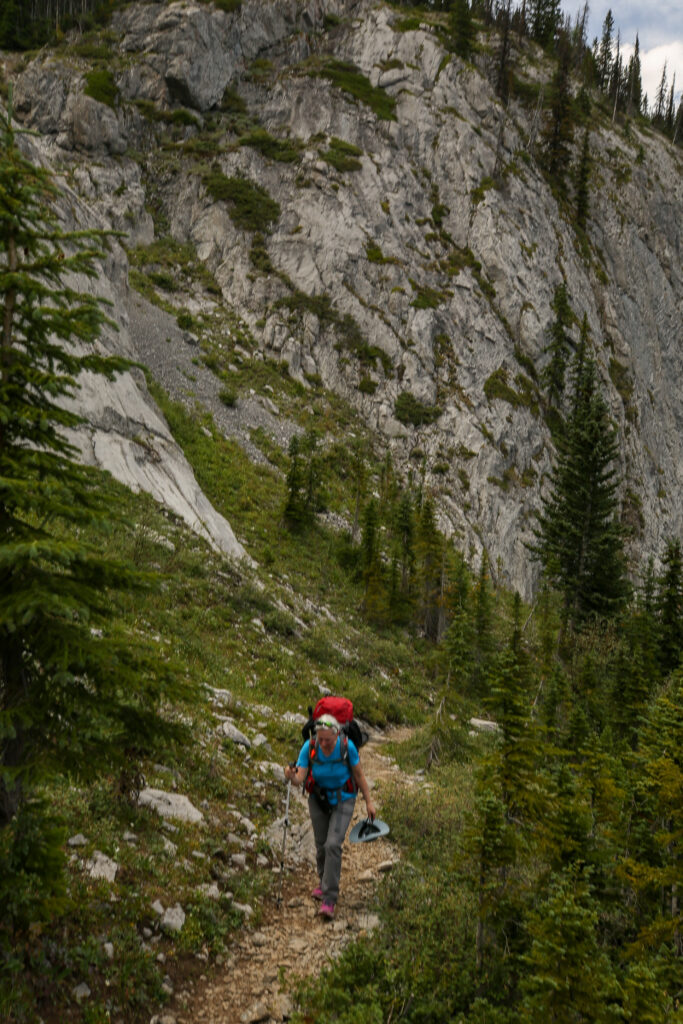
The hike has 560 m of elevation and we would gain just over 300 m after leaving the creek in just 1.5 km. The trail headed into the trees passing through a couple of switchbacks before depositing us at the base of some giant steps.

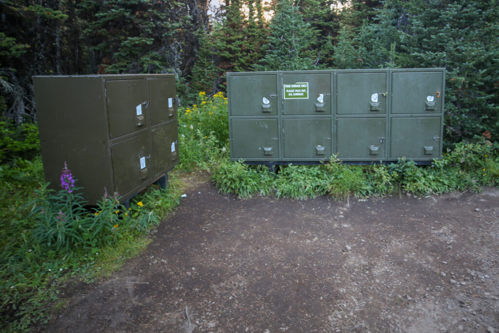
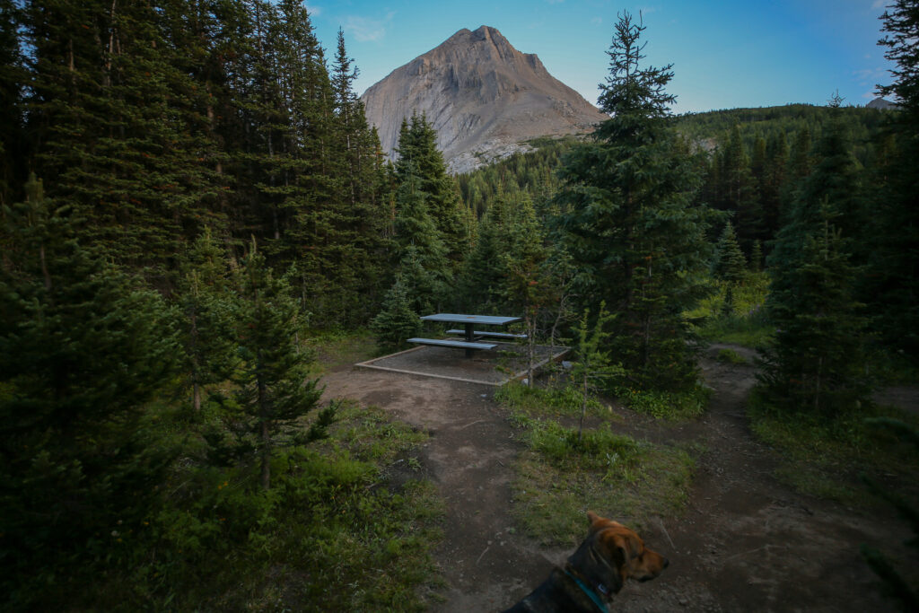
The campground was very full with only a couple of sites left. There is another campground close by, Three Isle Creek. I would not be surprised if people sometimes camp at the wrong campground.
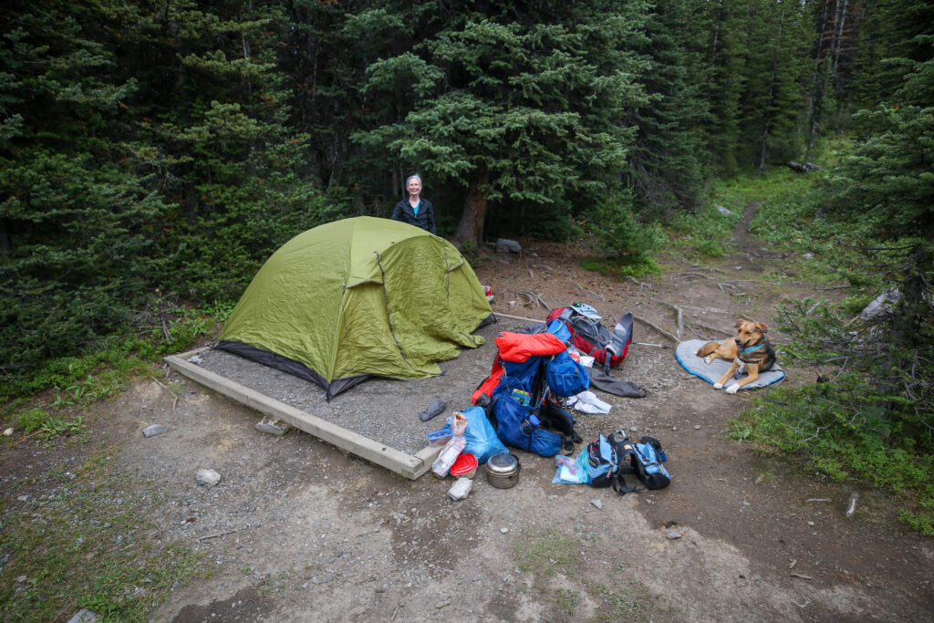
For family hikes we bring the 2L stainless steel pot for cooking. For night one we recook meals made at home. Having real food on trail is a perk and is always appreciated. We cleaned up after dinner then headed down to the lake to spend the evening.
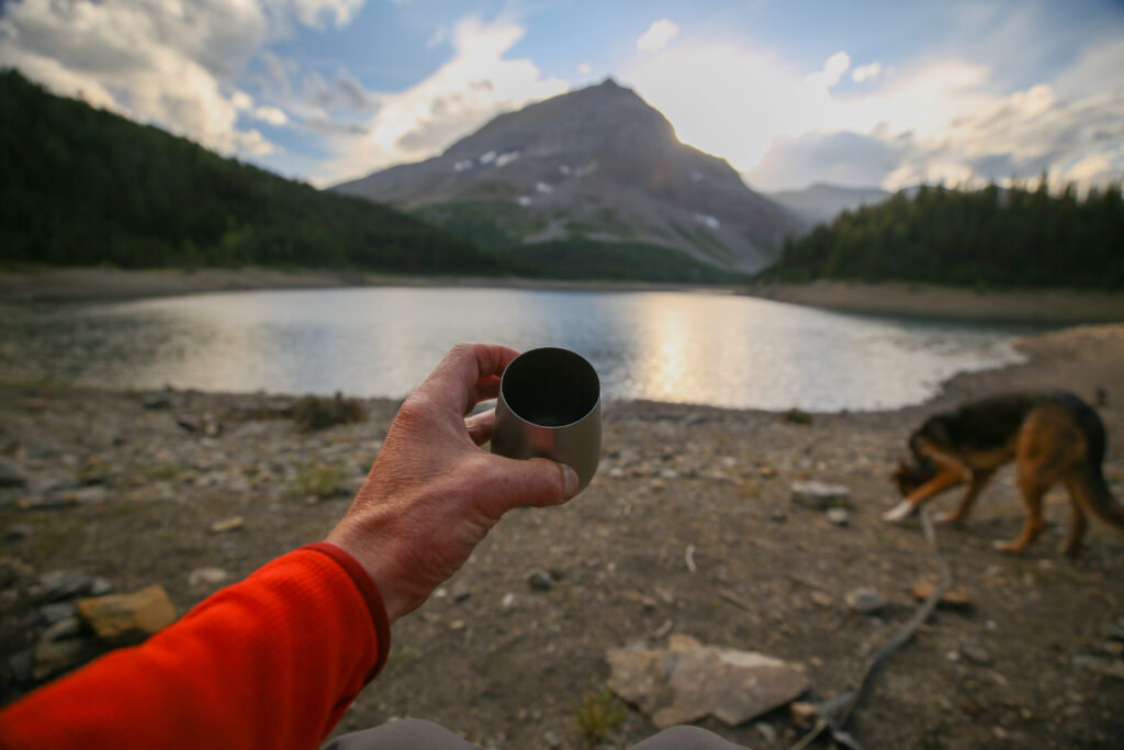
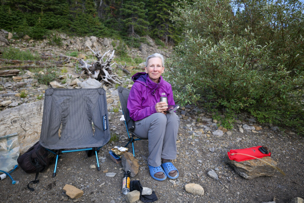
As we sat enjoying our wine and chocolate two young women appeared from the trail leading to Northover Ridge. We would see them again tomorrow night at Turbine Canyon CG. While we planned to backtrack to Forks CG and hike up to Turbine Canyon they would hike around the back past Beatty Lake over South Kananaskis Pass and then up and over North Kananaskis Pass. There is some spectacular scenery on the route but I have done the climb up North Kananaskis Pass and was happy to skip it on this trip.
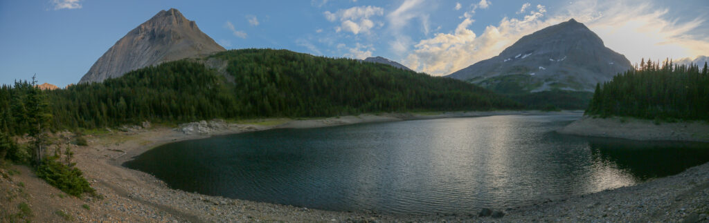
Good night from Three Isle Lake Campground