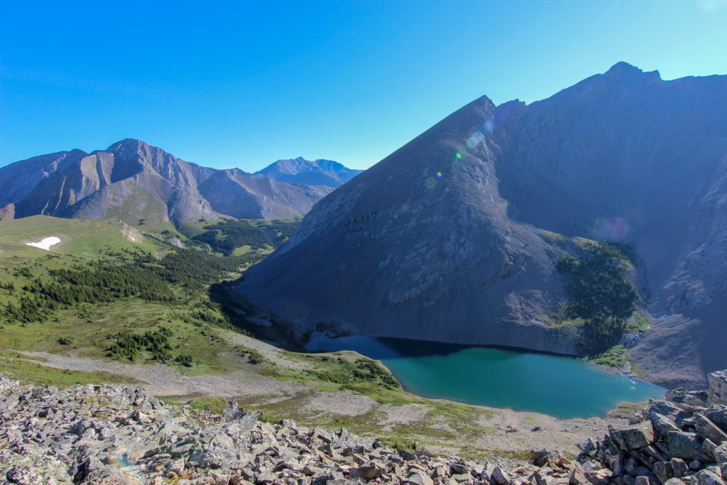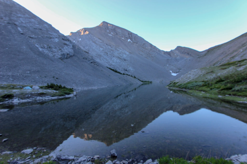
Day 1 Front Door to Stenton Lake, 18.5 km, 385 m Elevation Gain, 1319 m Elevation Loss, 8 hrs 13 min.
Not going to take the data from the Viewranger to be too accurate because my tablet turned off in the middle of the hike down the side stream.Escaped the tent at 6:30 am. This was pretty early considering we had been up for almost an hour in the middle of the night but it was a long walk home. Went and retrieved our food from our pathetic bear hang and was pleased to see that it had survived the night.
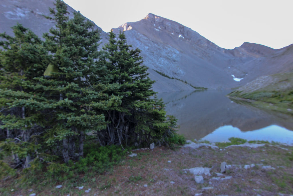
We started hiking at about 8:10 am. We went around the west end of the and headed up the grassy slope as described in the guide book. A much more gradual ascent then the descent down the rocky boulder field we did the day before. As we started walking up the slope Micah spotted some quails in the grass. I did get some pictures but they are somewhat fuzzy as I had forgotten to switch my camera back to auto focus after having it on manual focus for the night time photography I had done.
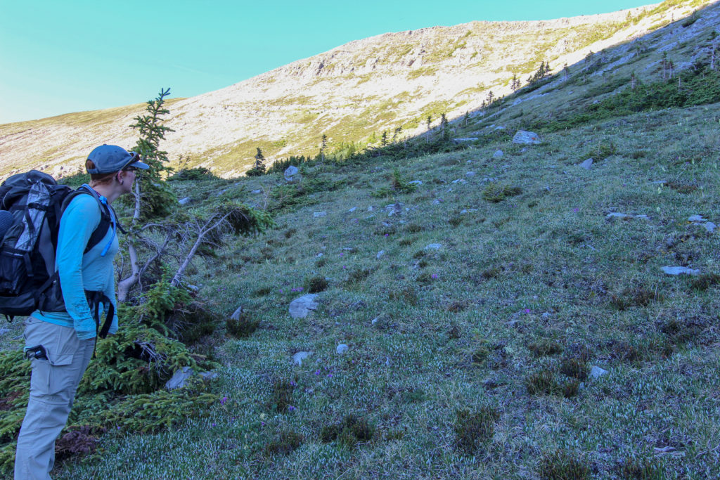
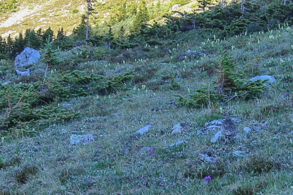
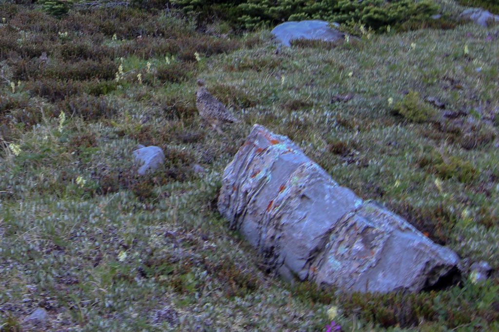
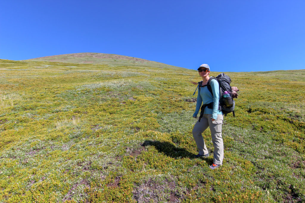
For the beginning of the day it was a pretty stiff hike to the ridge. The route rose 144 m over about 3/4 of a kilometre. We arrived at a massive grassy plateau. I am not a soccer fan but with the 2018 World Cup have wrapped up recently I thought that the plateau would have been an amazing place to host a game.We headed east and went over the minor high point on the ride that we avoided yesterday. Then after a short drop headed back up the shaley slope and started retracing our steps from yesterday.
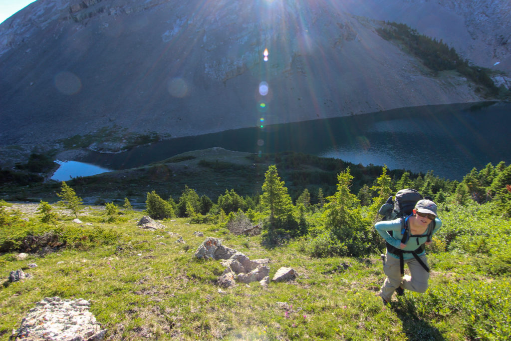
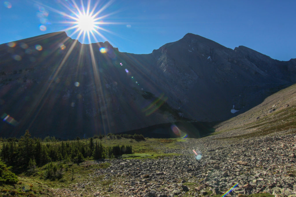
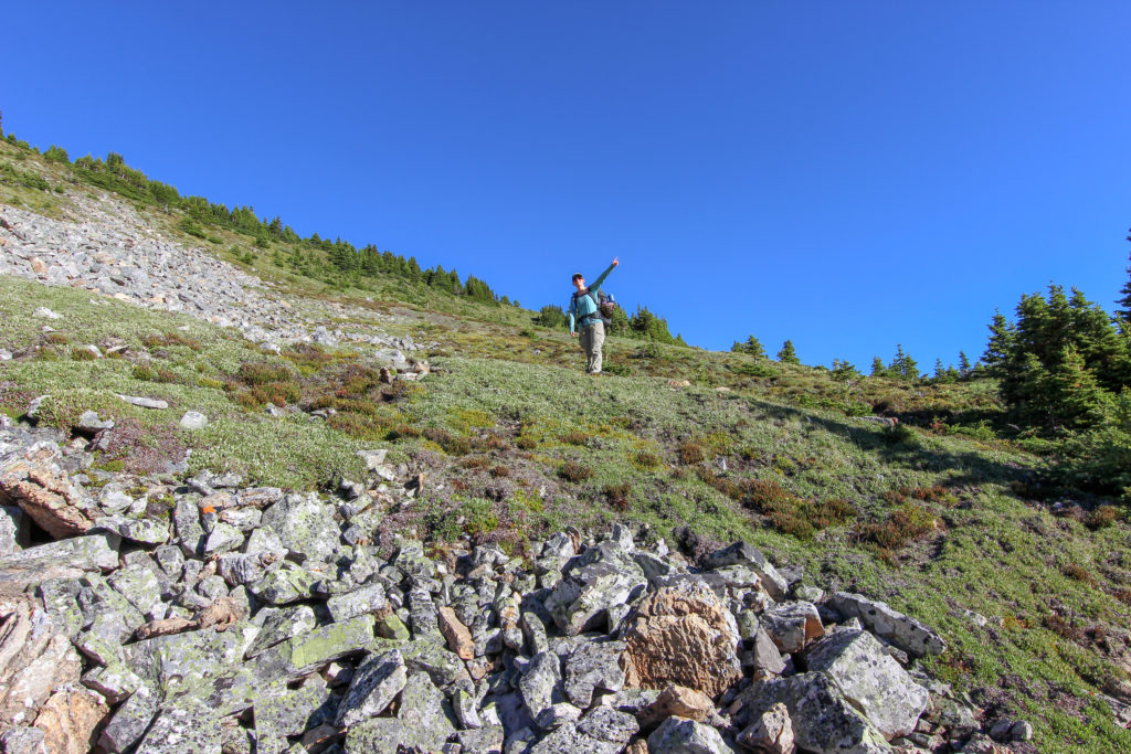
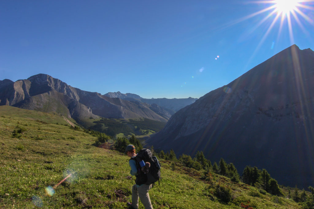
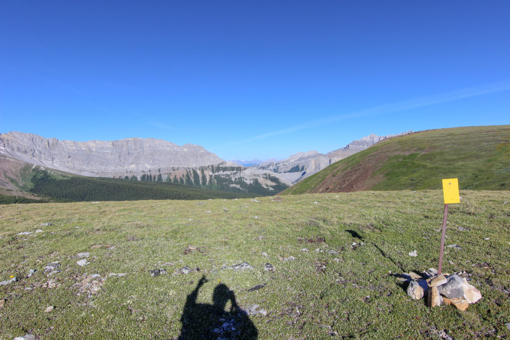
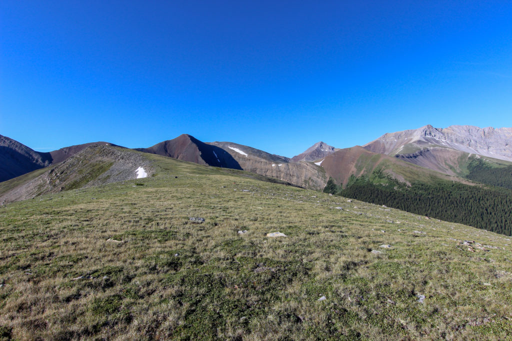
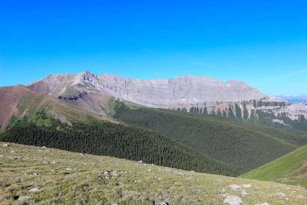
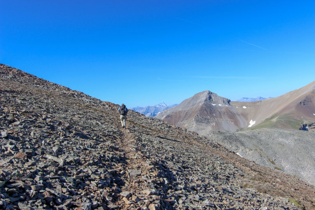
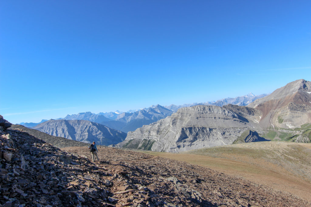
We ascend up the shaley slope and through the cliff band. This is the big elevation for the day about 245 m from the grassy ridge. The sun was shining but the air was still cool as we worked our way up along the trails of yesterday. The beginning of a hike often lacks the urgency of the end of the day and with the more relaxed hiking comes the opportunity for more sightseeing.
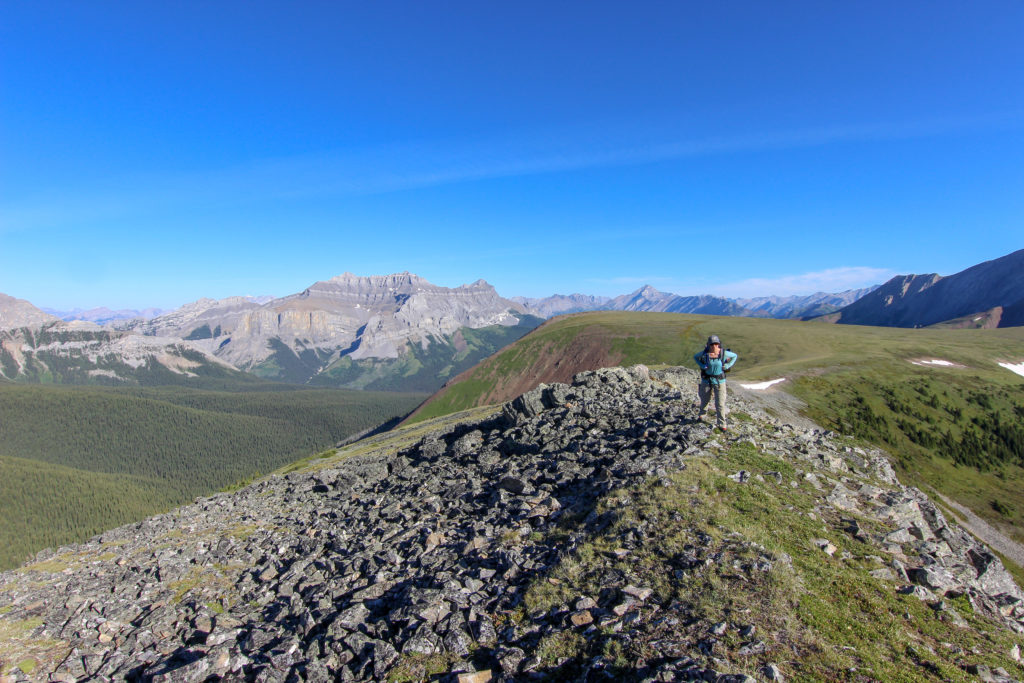
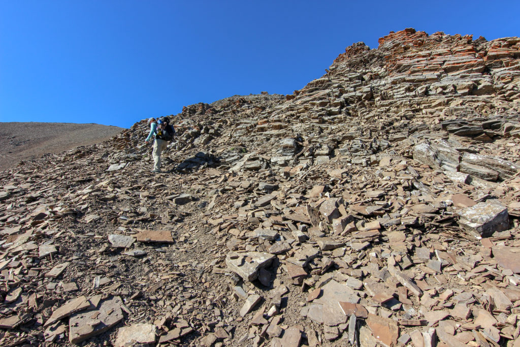
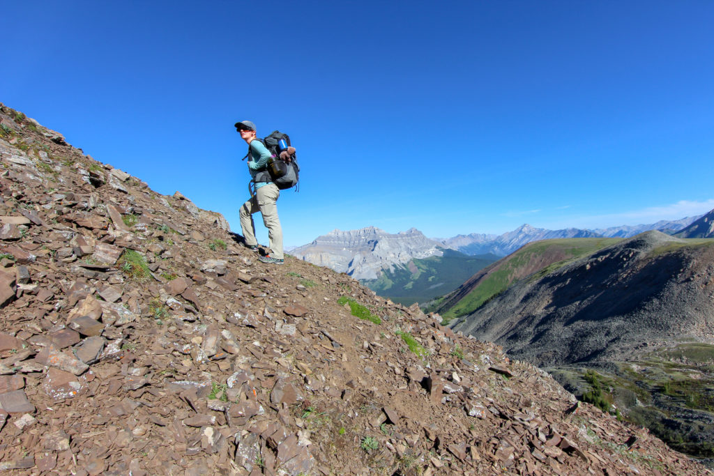
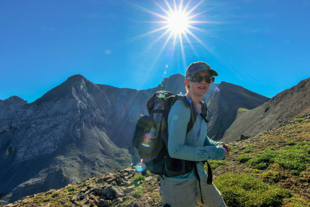
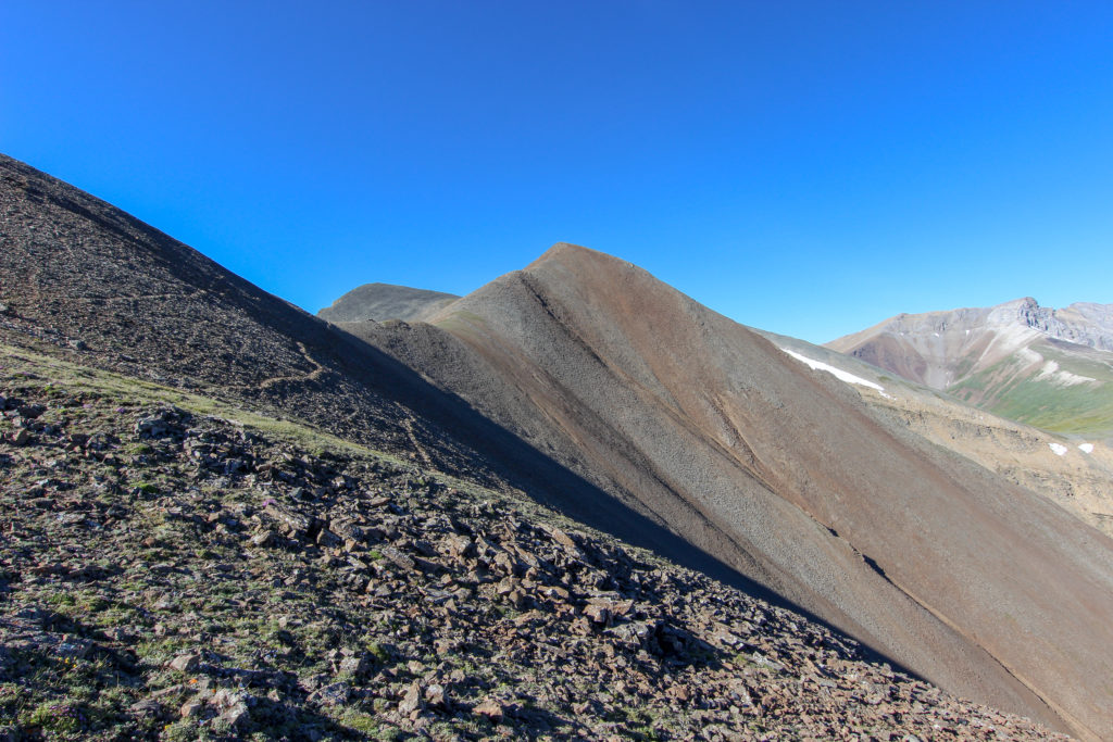
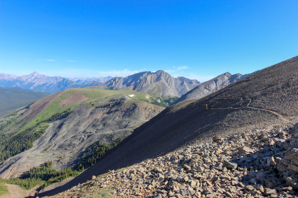
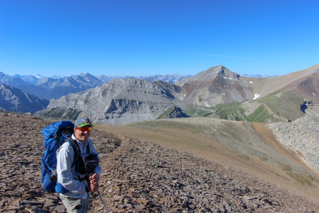
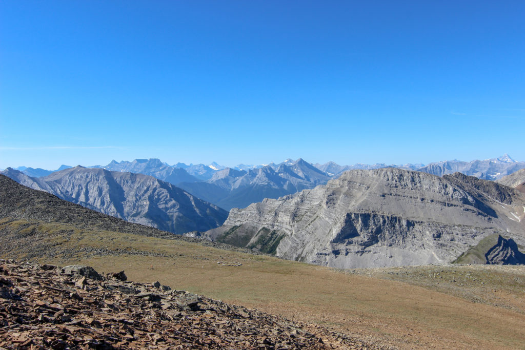
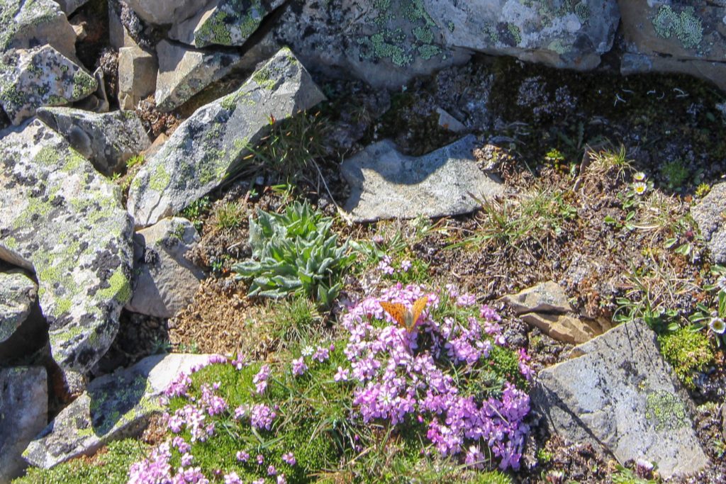
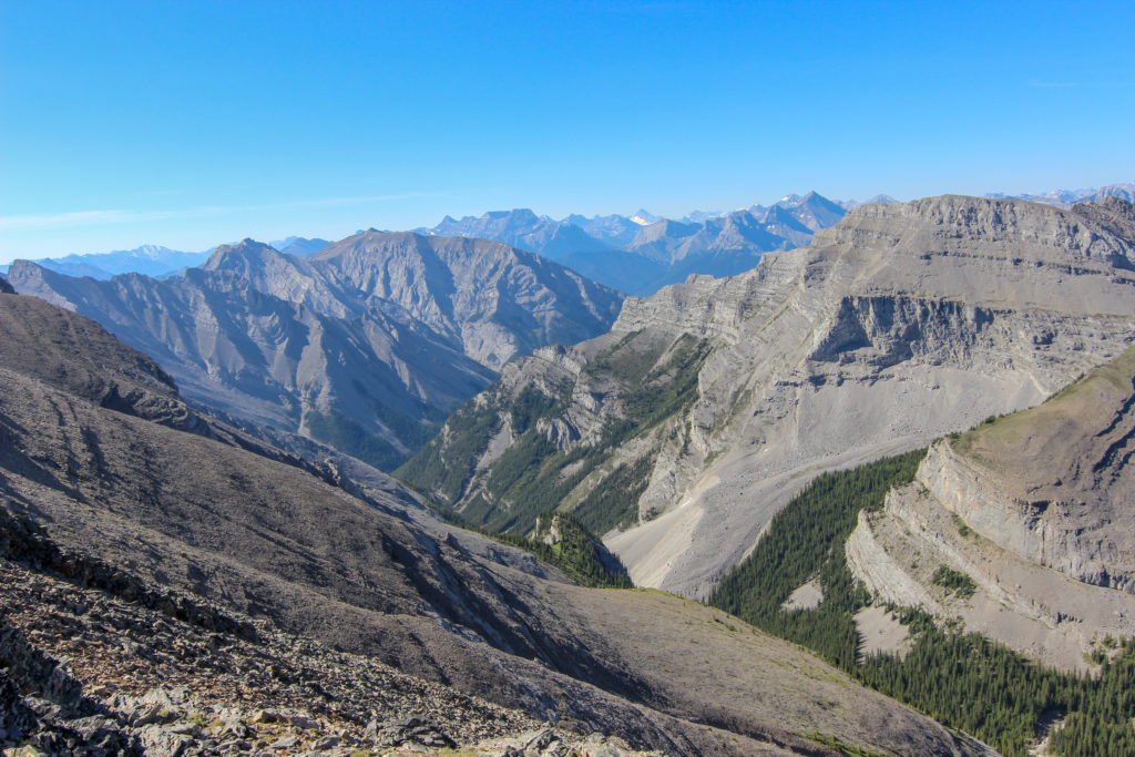
We hiked under the tallest peak on our route. Yesterday I had been quite nervous as cut across the slope and was wondering when the feeling would return. I was shocked when we arrived back at our high point as I never once felt uneasy. Guess spending time at elevation helps the confidence return. Arrival at the high point brought back the stunning 360 degree views and loads of butterflies all around us.
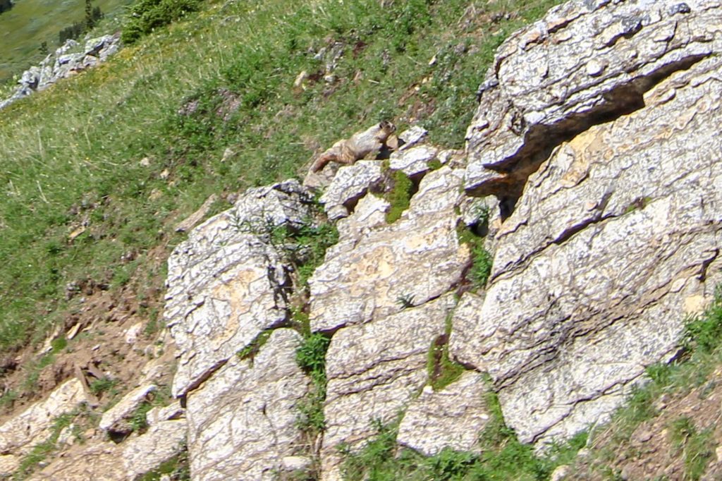
We arrived back at Cougar Col and started our descent. We decided to not do the bushwhacking we had done the day before but to follow the creek bed to see if it would provide a more direct route. We followed the drainage down the grassy slope and into quite a wide canyon formed by quite a feeble flow of water. Marmots inhabited the cliffs to our right wand and serenaded us with their high pitched whistles. Another quail made an appearance to add to our wildlife count.
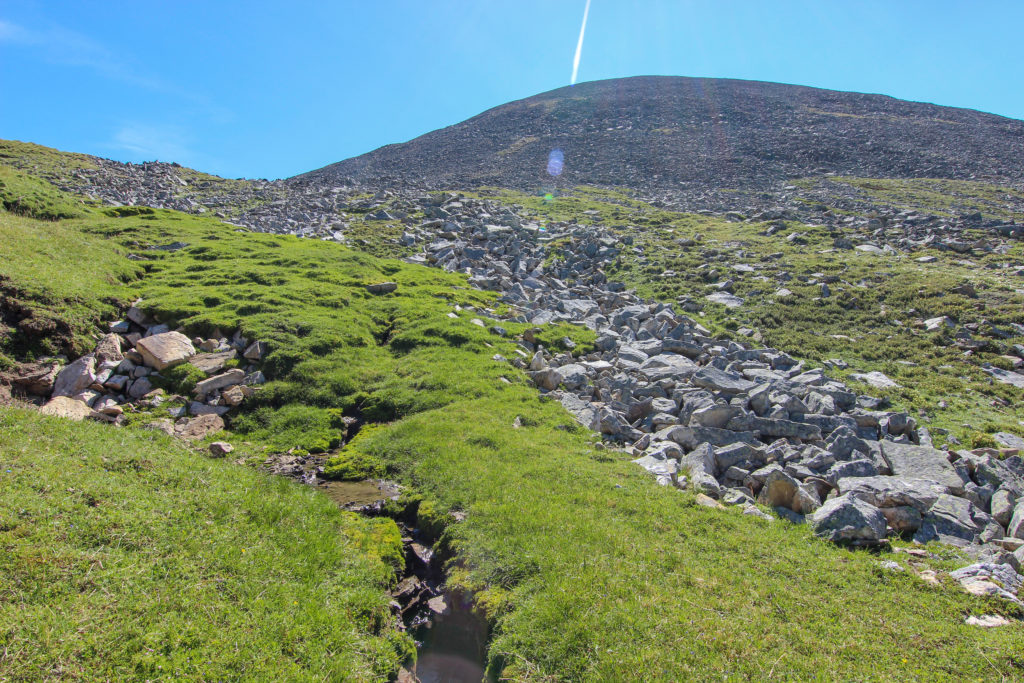
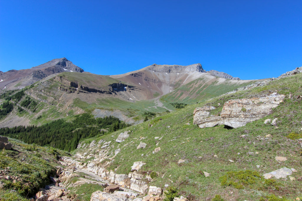
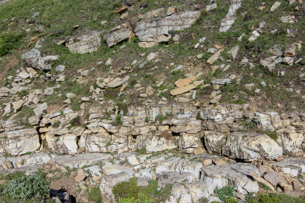
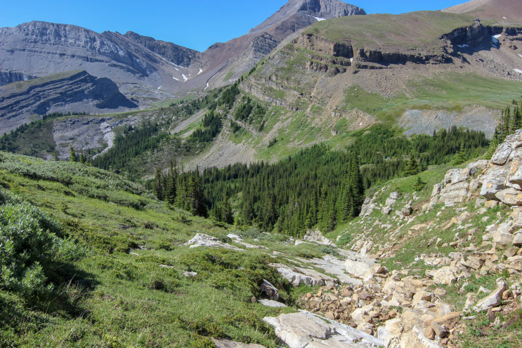

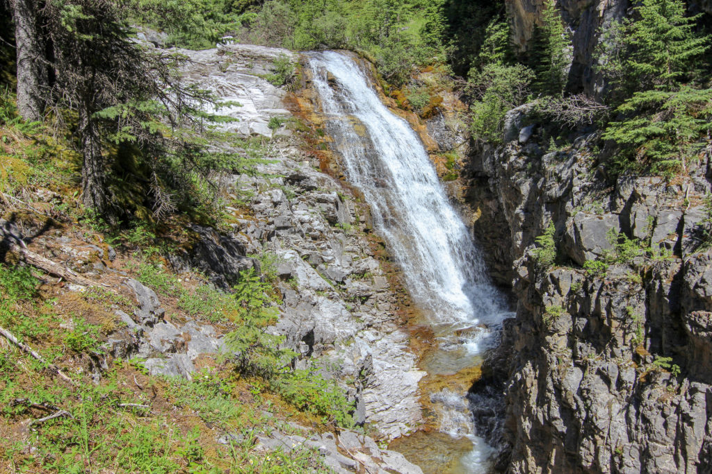
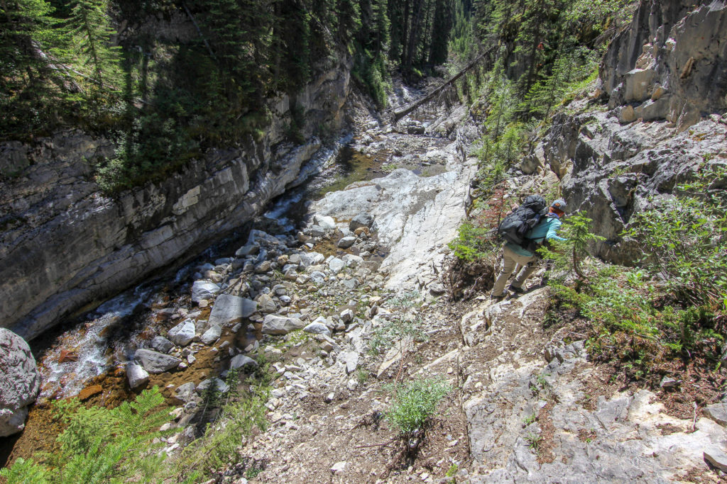
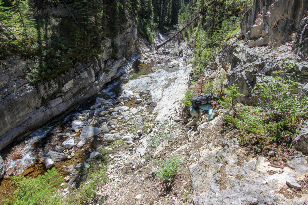
We followed the developing creek bed down the slope. At first it was relatively easy as there was little water in the creek. The creek did start to slowly fill up making the numerous stream crossings more challenging. With the thick vegetation lining the sides of the creek we found ourselves in a very pretty but ever deepening and challenging canyon that offered up a very dodgy stream crossing.
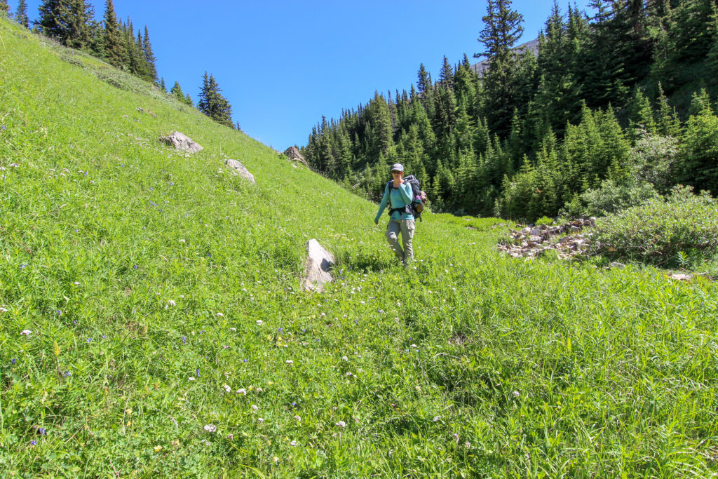
We continued down the right hand side (east) of the creek. We had to navigate lots of small waterfalls. As we searched for a way around another constriction up to our right a very obvious path appeared through the bush. We followed the path and a few minutes later it popped us out at the creek junction where we had become stuck yesterday and had decided to bushwhack up the slope.
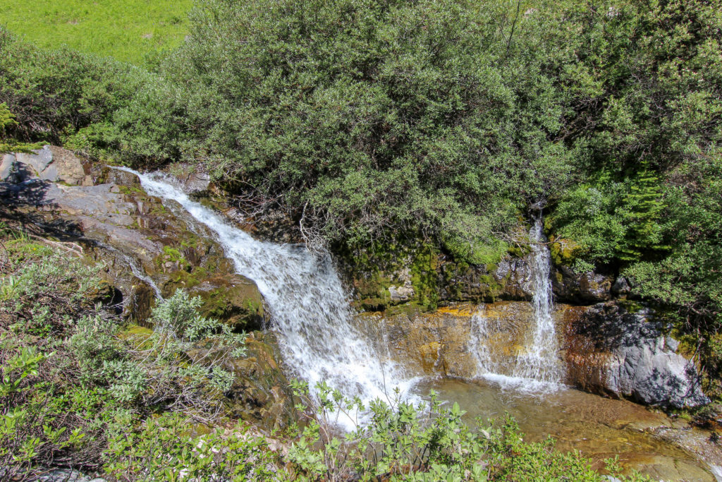
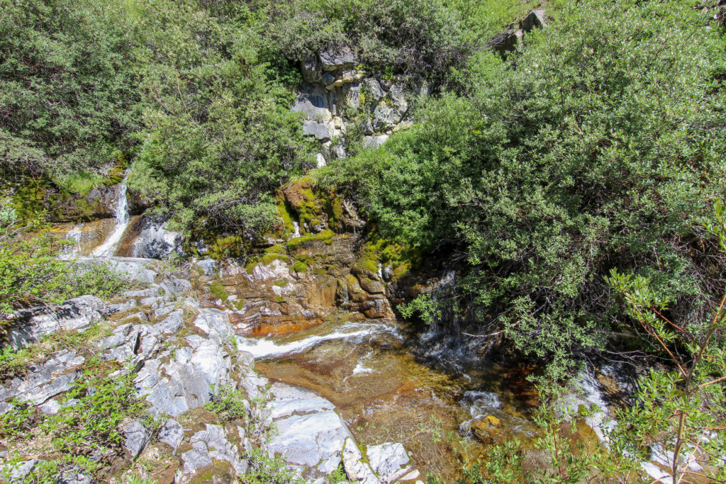
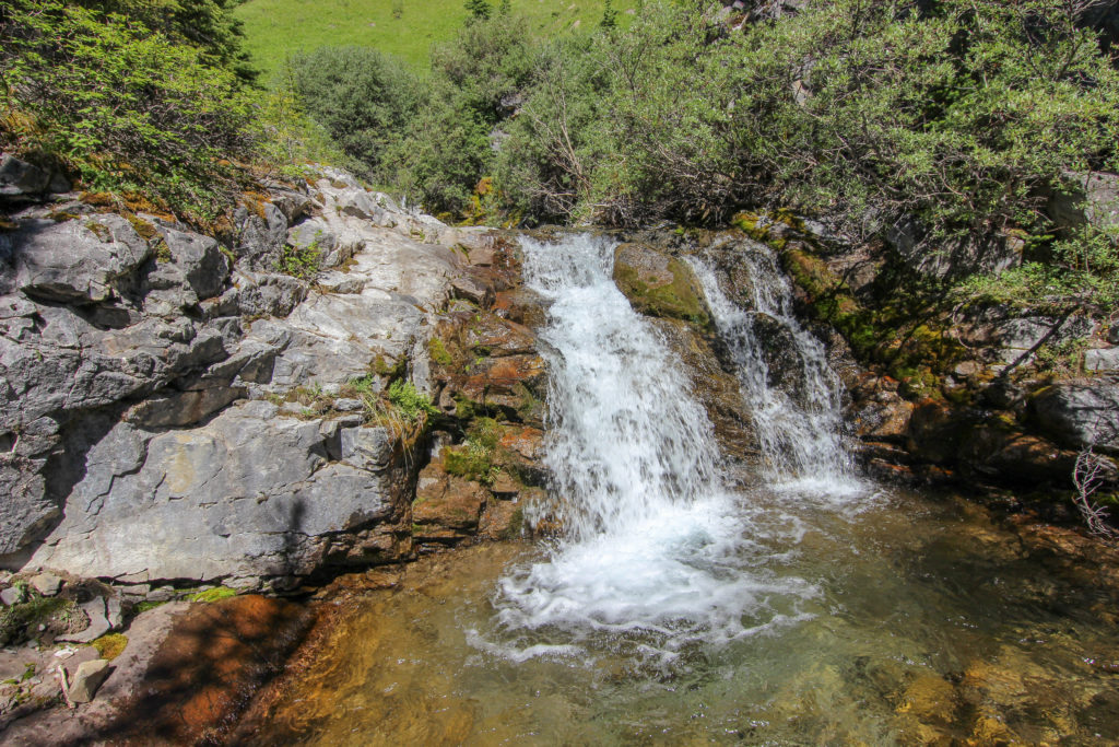
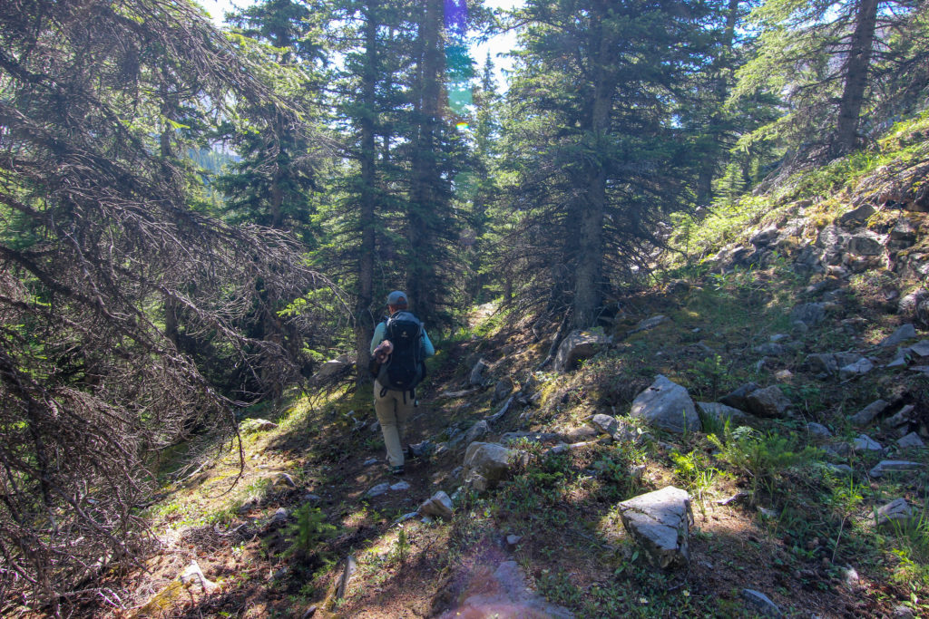
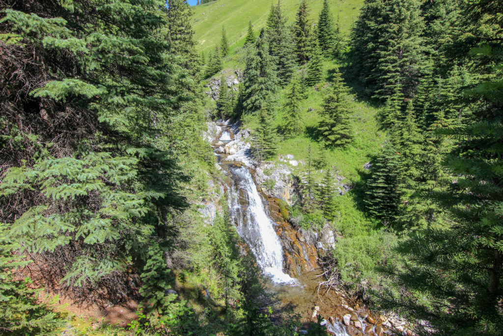
As we emerged from the path back to the creek we could see how the hidden path through the woods connected with the path below. If hiking up the creek if we would have continued on a trajectory up from the lower path it would have delivered us right to the upper path that would have led up past the creek obstacles.
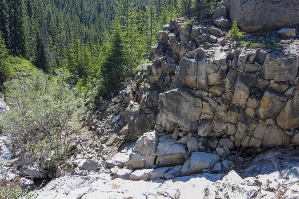
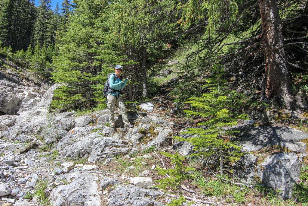
We continued retracing out steps down the creek. Past the last of the large waterfalls and scrambled down the steep slope from yesterday. We found the path on the left side of the creek and it took us to an deserted camp that we had missed yesterday. The camp seemed quite complete and could have possibly been occupied relatively recently judging by the condition of the plastic tarp that was hanging. The camp was located at coordinates (-115.29567, 51.14748)



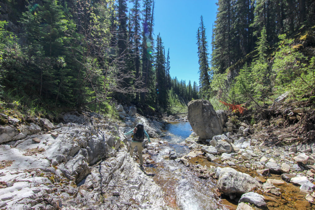
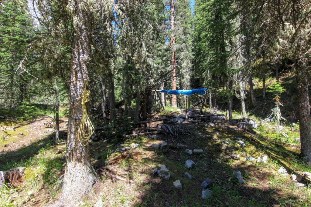
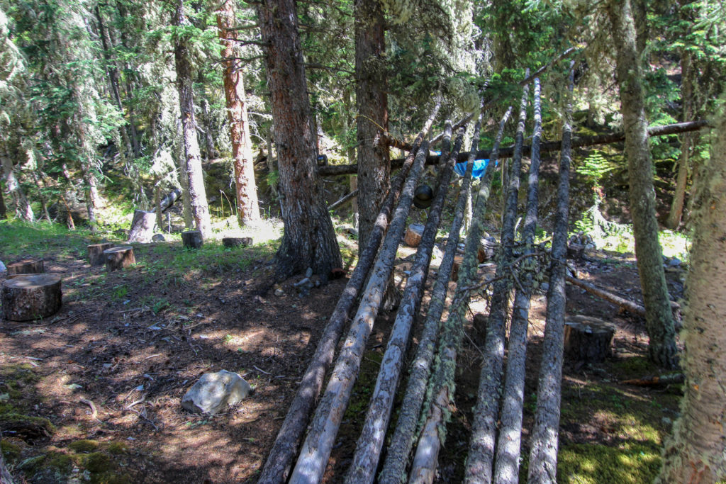
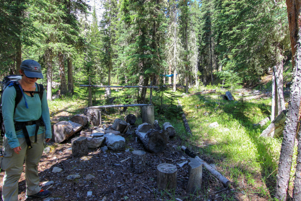
Back to the creek bed we continued on way down. We moved in and out of the forest as we found remnants of the trail. We stopped by the large tower to rest and refuel. We were swarmed by nasty little biting flies so we kept our stop short.
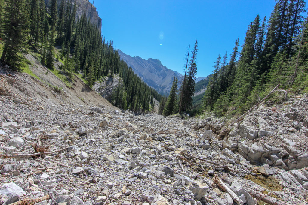
The sun rose high in the sky and blasted down on us. The temperature rose to 32C, coupled with the reflection off the white rocks of the creek bed we started to overheat. We attempted to keep cool by hiking in the trees whenever possible and soaking our hats and sleeves of our shirts in the cool waters of the creek. As we got further down the creek the walls of the canyon closed in making it difficult to find areas of shade but we searched out shade and rested when we could.
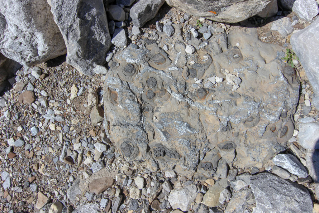
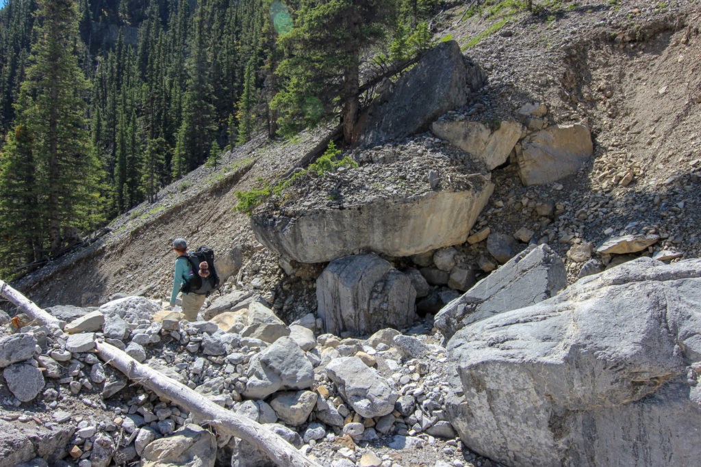
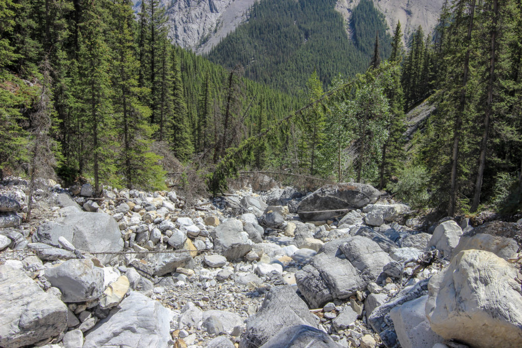
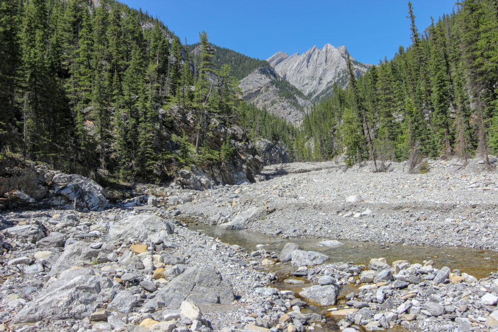
We headed down through Cougar Canyon passing many climbers enjoying the warmth of the day. We hustled home as quick as we could arriving back at the house at 4:23 pm, hot, tired and happy.
Stenton lake can be assessed as an out and back as we did, from the top of South Ghost River or from Lake Minnewanka bushwhacking over from Carrot Creek. I have a tentative plan with Ken Symington (see Brazeau and Sawback hikes) to hike to Stenton Lake starting at Lake Minnewanka. Whatever route you pick Stenton Lake is an amazing and gratifying destination and belongs on the to do list of any Bow Valley backpacker.
