
An 8 year odyssey to hike the Tanner and Beamer Trails to the confluence of the Colorado and Little Colorado Rivers.
I would like to acknowledge that this hike pasted through the ancestral and traditional territories of Indigenous Peoples. The Havasupai, Hopi, Hwal’bay, Nungwe Band of Paiute Indians Las Vegas Paiute Tribe, Moapa Band of Paiute Indians, Dine-Navajo Nation, Paiute Indian Tribe, San Juan Southern Paiute Tribe, The Peublo of Zuni, and the Yavapai-Apache Nation who have all called the Grand Canyon home since time immemorial. I acknowledge the many Indigenous Peoples in Arizona whose footsteps have marked these lands for generations and I am grateful to be a visitor in these lands.
Hike to the Confluence February 15th – 18th, 2025
Picketpost Mt Day Hike February 19th, 2025
My fascination with the Grand Canyon started after reading about a rim to rim hike in the book “Fifty Hikes to Do Before You Die”, by Chris Santella. Just a few months after sharing the story with Laura the family was off on adventure down the corridor trails with an overnight stay at Phantom Ranch in the spring of 2011. That trip was followed by a slightly more rugged four day trip with Micah that took us from Hermits Rest, to the river, then along the Tonto Trail and back up South Kaibab trail in 2016.
During the Hermit trip Micah and I talked about hiking the entire length of the Tonto Trail. We were assuming the Tonto Trail would take us from the eastern end of the Grand Canyon to the west. That is simply not the case. The Tonto trail is approximately 150 km (95 miles) in length, starting at Hance Rapids in the east and ending at Garnet Canyon in the west. Combining the Tonto with two other trails that travel alongside the river would combine to form a transcanyon trail of about 185 km or 115 miles in length.
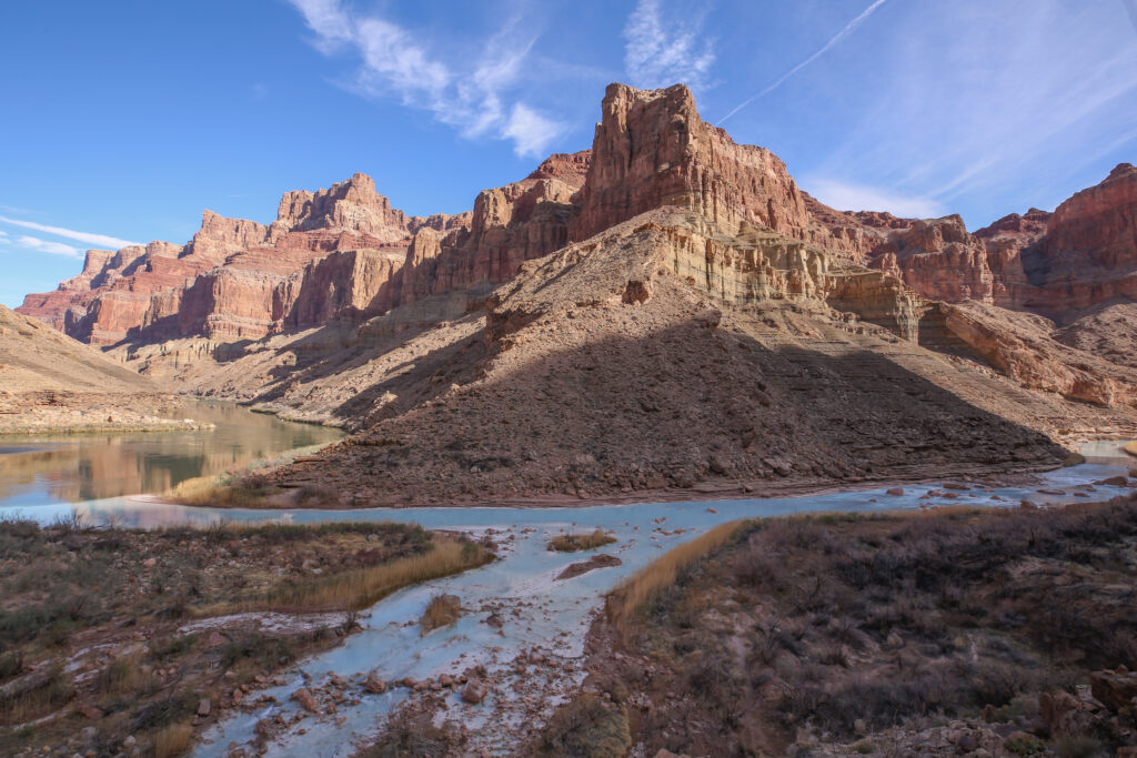
In the west the Tonto trail ends randomly at Garnet Canyon and utilizes the Royal Arch trail to ascend the rim to the South Bass Trail Head. This section of trail is best hiked in a clockwise direction but does require safely executing a 50 ft rappel. In the east the Tonto Trail begins at Hance Rapids which is 33 km (21 miles) west of the confluence of the Colorado and the Little Colorado Rivers. Two trails combine to connect the confluence to the Tonto. The Beamer Trail starts at the confluence and ends at Tanner Rapids, a distance of 16 km (9.5 miles). The Escalante Route picks up from where the Beamer trail ends and continues to follow the river all the way to Hance Rapids, a distance of 19 km (12 miles) where it transitions to the Tonto trail. So utilizing three trails, the Beamer, Escalante Route and Tonto you can hike 185 continuous kilometres along the Colorado river in the Grand Canyon. Of course, it is really not that simple. Most people appear to do it in 4 – 7 day sections since it requires requires the better part of a day on each end of the trip to descend to river then ascend back up to the rim. Water is always a concern when hiking in the Grand Canyon. The most difficult part of the trail is the western section of the trail from Boucher Creek to the South Bass Trail head. An excerpt from the National Parks Service description of the trails:
This segment of the Tonto Trail is notorious, regarded by canyon experts as the most difficult and potentially dangerous section of this long transcanyon trail system. Main reason: It is almost 30 rough, unmaintained miles from the permanent water in Boucher Creek to the South Bass trailhead, and throughout that entire stretch there are no reliable water sources near the Tonto Platform level. None. Another thing: Once started, hikers are committed. The complete lack of bail-out routes to the rim between Boucher and South Bass means the only possibility for help is at the end of the trek.
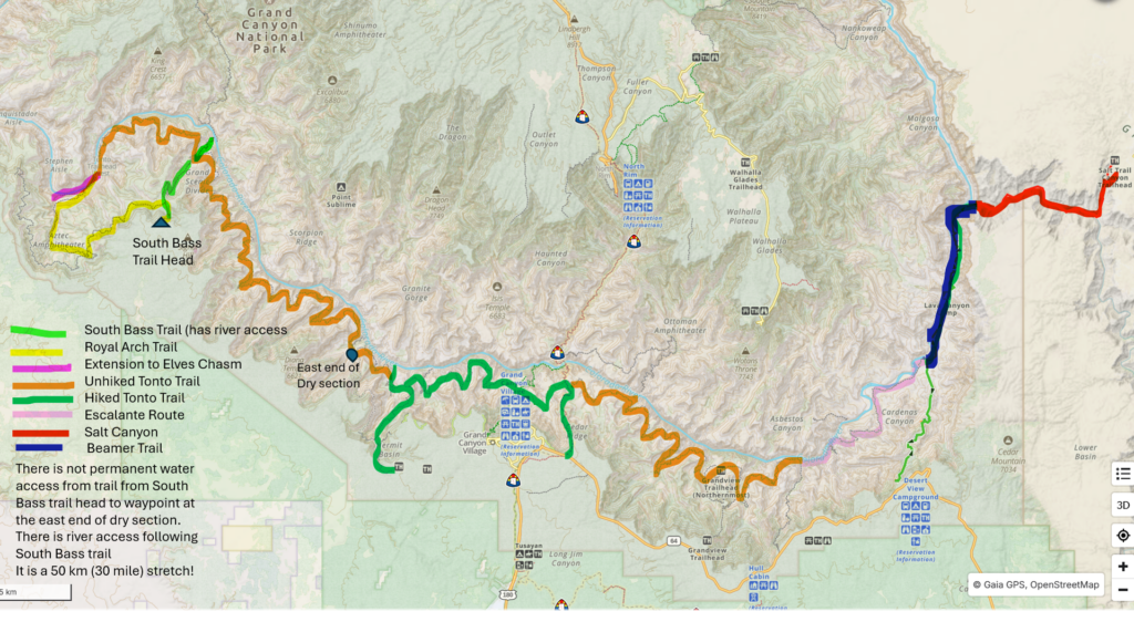
I am not too worried about the western section as we have at least two or three more trips to the Grand Canyon before we take aim at it. This would put me well into my 60’s before I have to contemplate doing a four day water carry. I do like the description as “transcanyon trail system” since it requires multiple trails to hike along the river. One option I may have would be to take a Grand Canyon Conservancy guided trip up the South Bass. The trip includes lessons on the geology that you are hiking through, which is very appealing, and it would provide all the logistics to safely complete the trail. One of the key logistical challenges of hiking the South Bass Trail is how to travel to and from the South Bass Trailhead which requires a high clearance 4WD. A fun fact that we learned recently is that you can actually access the confluence at the eastern end from Salt Canyon, a three day round trip.
My fascination with the confluence specifically begin when I read a trip report in Backpacker magazine highlighting a three day trip from Lipan Point to the confluence of the Colorado and Little Colorado Rivers. Little did I know it would be the beginning of an eight year odyssey to complete my quest to visit the confluence.
Recap of my previous attempts to hike to the confluence:
- February 2017 planned three day hike with Siobhan. Too much and too far.
- December 2019 planned 4 day hike with Micah. Winter storm at the South Rim meant we were unable to access the trails, hiked the Arizona Trail instead.
- 2020 I had paid to join a Grand Canyon Conservancy geology trip to the confluence for March. Covid arrived and cancelled everything.
- January 2023 planned 4 day solo hike. Record setting rains in Arizona dumped large amounts of snow at the south rim making access to the rim impossible. Back up plan was to hike passages of the Arizona Trail but near freezing temperatures had me cancel that idea. Hiked the Superstition Mountains outside of Phoenix. Amazing trip.
It would appear that there is a curse on me in my attempt to hike to the confluence, the Curse of the Confluence.
Jumping ahead to 2024 and I secured my fifth permit for the attempt to hike to the confluence. I found it interesting that during the permitting procces the zone we were to be hiking in has been designated by the National Parks Service as Unusual! Sort of makes it seem extra exotic. To avoid the winter weather I booked a February hike similar to that I had originally planned back in 2017 but this time as a four day hike. The itinerary for the trip was:
- Friday: I fly from Calgary and Micah from Toronto to Las Vegas. Pick up the rental car and spend the first night in Boulder City, NV.
- Saturday: drive to the Grand Canyon, stopping for supplies in Kingman, AZ; there is both a grocery store and camping store close to the main highway. Arrive at the Grand Canyon mid afternoon to begin hiking.
- Saturday afternoon: more of a half day hike, breaking up the big first day that Siobhan and I did in 2017, hiking from Lipan Pt to the Red Wall Overlook, distance 6 km.
- Sunday: hike 8.4 km down to the Tanner Rapids for lunch followed by a flat 4.5 km walk along the river to camp at Palisades Creek.
- Monday: hike light weight, leave tent, sleeping gear, etc at camp, to the confluence and then back to our camp at the Palisades, pick up all our gear and hike back to camp at the Tanner Rapids. Distance 22 km with light packs then 4.5 km with full packs.
- Tuesday: hike out to Lipan Point 14.4 km, 1470 m elevation gain. Drive to Superior AZ to spend the night.
- Wednesday: quick morning hike up Picket Post Mt just outside of Superior before heading to Phoenix for an early evening flight back to Calgary.
After securing the permits and booking flights, car and hotels everything appeared to be a go for the trip. Micah was going to be in great shape as they were training for a half marathon and I had the mountains around town to train in to prepare for the hike.
I was feeling pretty good about my preparation judging by one of my go-to training hikes, an out and back to Taylor Lake in Banff NP. I cruised through the hike, a 14 km out and back with 750 m of elevation, with ease. Then the Curse of the Confluence reared its ugly head once again. On January 2nd, just 6 weeks before we were to start the hike, during our dog walk with Margaux I felt some discomfort in the back of my left leg. It was a different sensation that I have ever had before. The pain was not muscular. When I tried to stretch it the throbbing sensation I felt was not affected. I barely made it home and once home I could find no relief from the pain. The short story is that I pinched a nerve in my back. There is no immediate fix for a pinched nerve. The only cure was time and physio. I went hard on the physio going three times a week. I very slowly got better. It took two weeks before I was able to sleep for more than three hours. Obviously, I was not doing any hiking. I do not think I even took Margaux for a walk for a month.
Just as my back was improving to the point I felt I could do physical preparation my right knee swelled up. I do have continual problems with my right knee, my orthopedic surgeon says I am headed for a knee replacement, but my knee was doing great so I was very disappointed. My guess is that the leg that was most affected by my back was my left. So I protected it by leaning to the right and putting more weight on the right leg. By leaning to the right I put too much strain on my right knee and it swelled up to protect itself. It normally takes about two weeks for the knee to return to normal and in that time I lose a significant amount of muscle mass. My knee was recovered by the time we started the hike but I would not say it was very strong and I wore my knee brace for the entire hike, something I do not normally do.
My back slowly improved as February rolled around so my doctor gave me the thumbs up to do the hike. He also gave me some Tylenol T3’s just in case my back flared up to allow me to at least hike out of the canyon. As a result of my back and the knee my physical preparations for the hike was severely curtailed. The sum total of my pre-canyon hiking was one 6 km hike with a 5 kg backpack. Not the recommended preparation for an area known for its tough and rugged trails.
One decision we did make based on my lack of conditioning was that Micah would take more weight, specifically all the food and the tent. I would carry my personal items, water and snacks for each day and of course I would carry my camera.

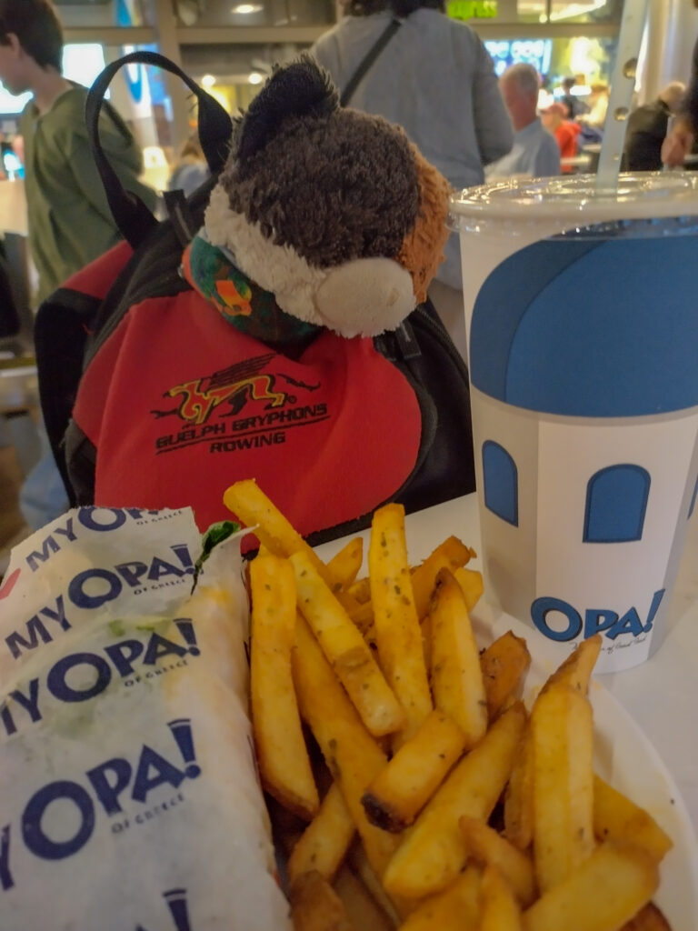
Years ago Micah gave me a knock-off Go Pro as a birthday present. I had only ever used it once. We had a plugged roof drain up 2 1/2 stories so I attached the camera to the end of long stick to film the drain and diagnose the issue. It was a cricket ball sitting perfectly over top of the drain hole. I thought the little camera would work great on this trip capturing some of the cliffs and canyons but leaving me distraction free to avoid doing something silly. The end result was mixed. Frequently I failed to set the camera to record and even when it was successful the video quality was lacking. Still it produced some fun shots and as an experiment it was a success. I do not feel it will become part of my regular kit but on a return visit to the canyon I will definitely try again to do hands free video recording.
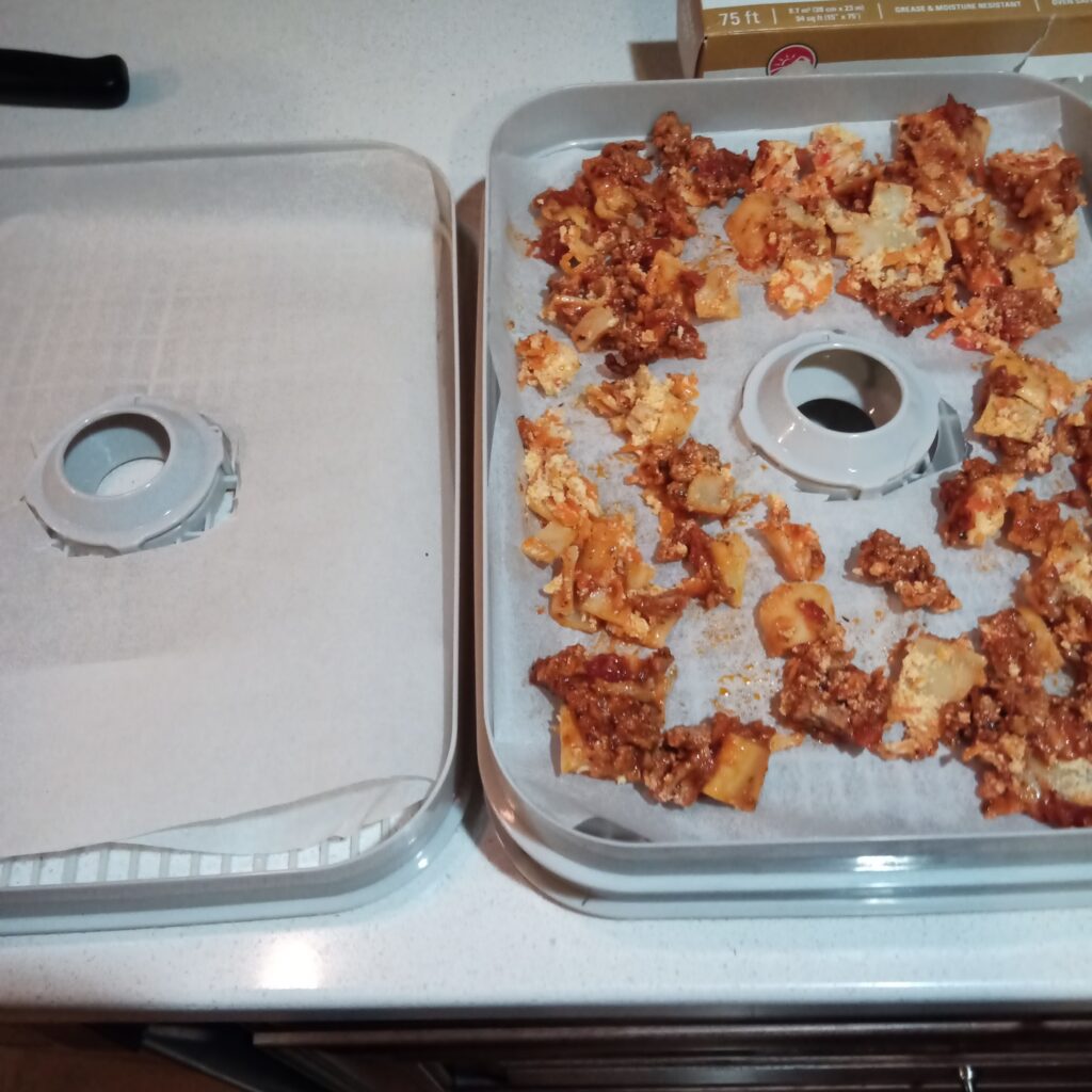
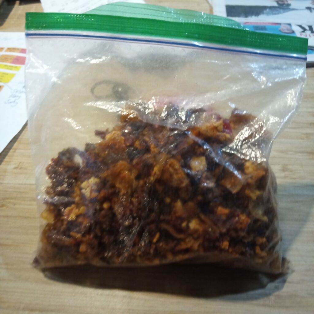
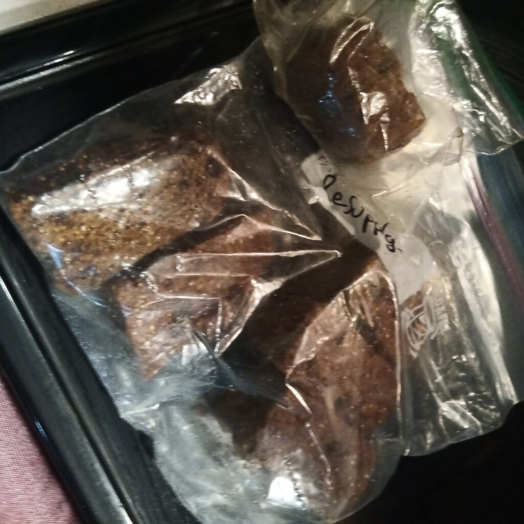
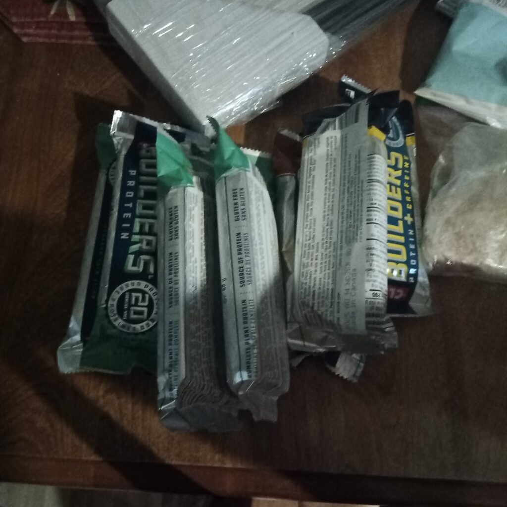
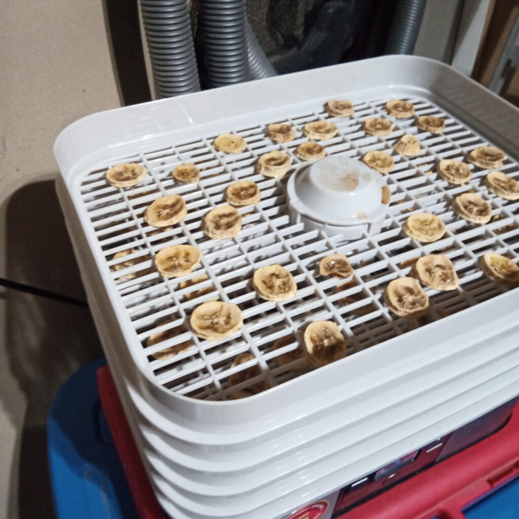
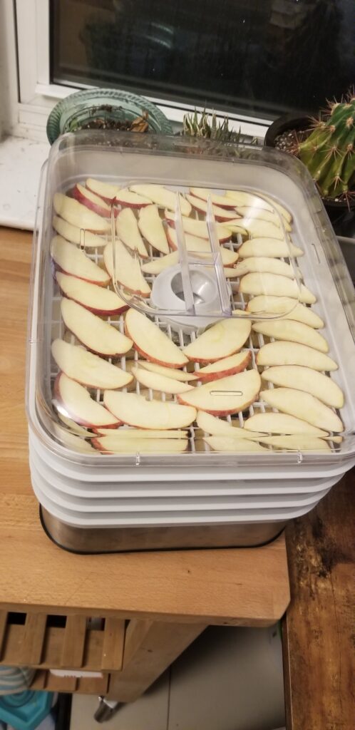
Most of the rest of my preparation pretty standard for my trips. I dried some of my own food and made some Logan Bread for breakfast and snacks.

I have in the past forgotten items at home when camping, including one time forgetting tent pegs. Finally learning from my past mistakes, I really buckled down and used a list to ensure that I touched everything as I put in the travel bag. The irony is that for me making a list is not challenging as I have an Excel sheet of my gear to keep track of the weight. I just printed off the Excel sheet to make a packing list. Super simple and effective.
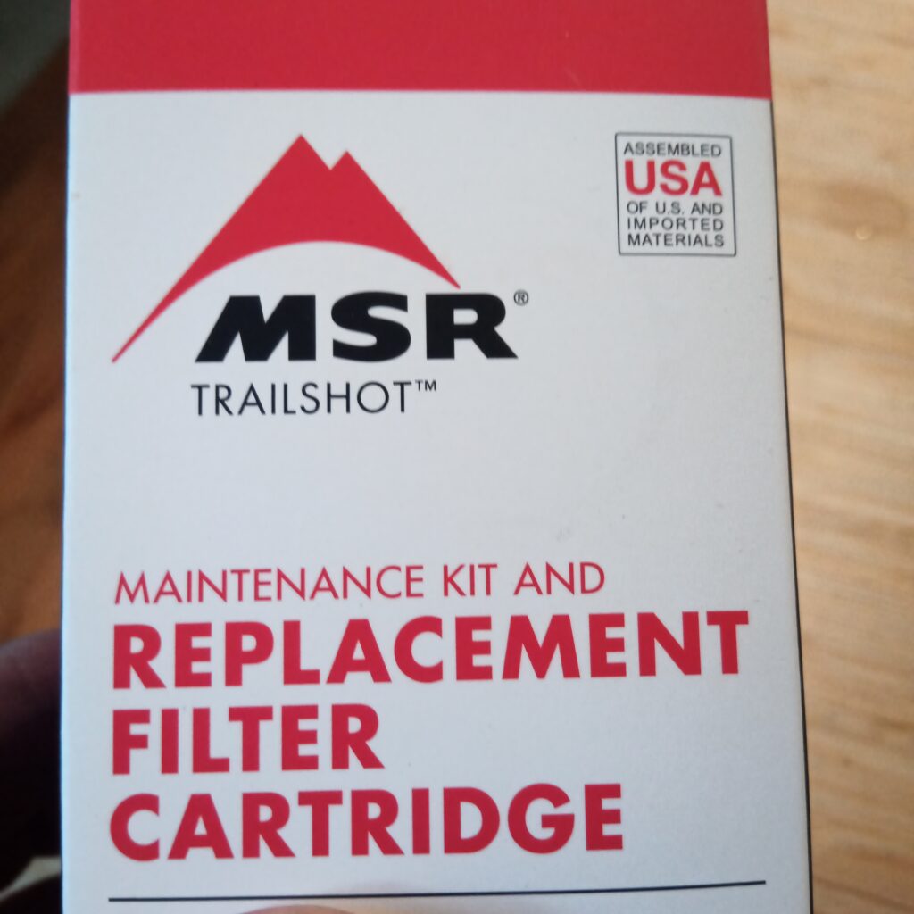
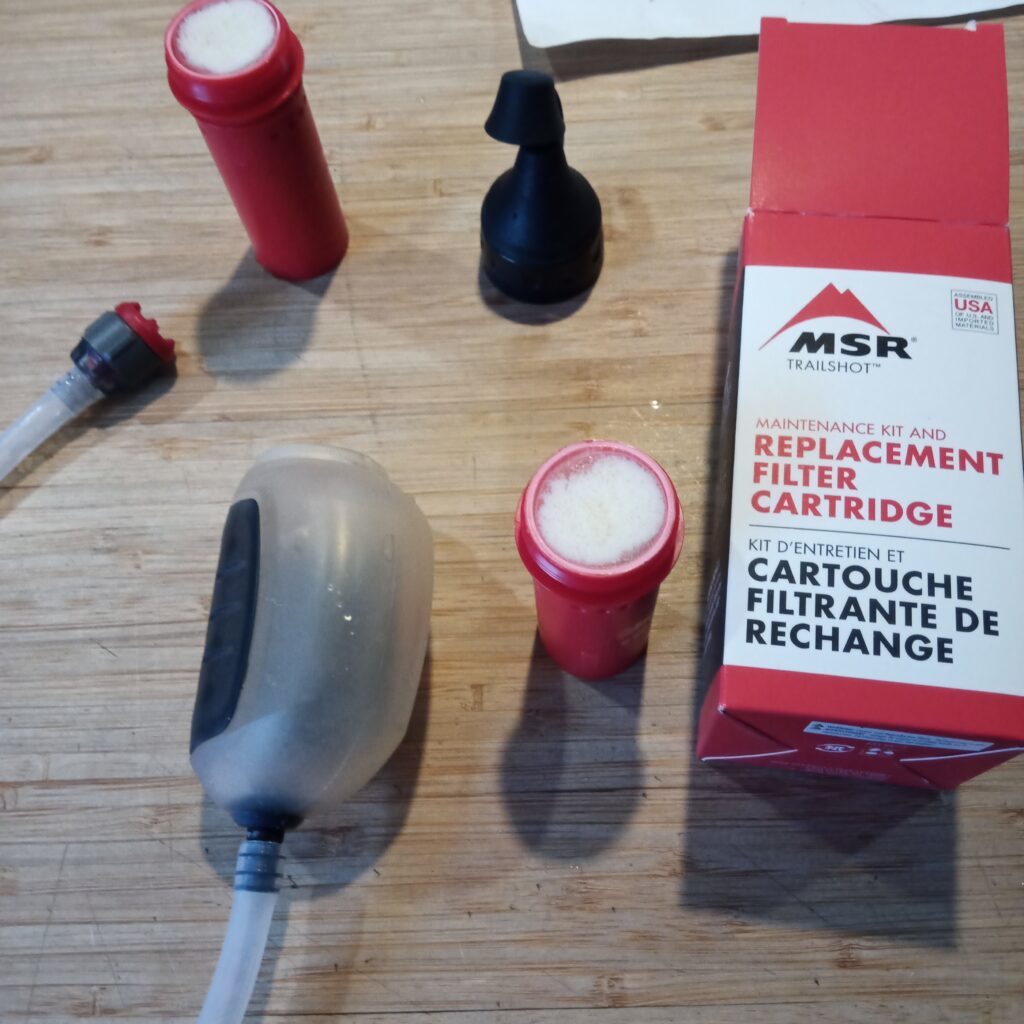
On our 2017 trip we used a collapsible bucket to utilize water from Colorado River which is frequently very silty. The bucket allows the silt to settle before filtering which would extend the life of the filter. In 2017 I did not have a filter but utilized a Buff to filter the water from the bucket. Siobhan had a lovely quote, “the silt will just add bulk to your poop”. Later I purchased a small water filter from MSR, the Trailshot, for one of our following Arizona trips. Luckily I checked the filter a few weeks before the trip because the filter had dried out and would simply not allow any water to flow through. I quickly ordered a replacement filter from MSR and the Trailshot was a good as new.
Our flights to Las Vegas were after work Friday evening. I would be landing first so the plan was for me to go get the rental car then come back and pick up Micah and head to the motel in Boulder City.
The late arrival process for the motel worked very well as long as you have a phone and can call the number. I found out to my surprise that my discount phone plan did not allow for calls to the USA. I had to phone Siobhan and get her to call and finalize the arrangements. All of this happened during the boarding process for my flight. Very last minute, but we got it done and everything with the motel worked smoothly.
I was intensely disappointed, but not surprised that we had a potential challenge in accessing our trailhead. I had some reason for optimism since the weather forecast was sunny with a high near 10 C on Saturday, which should be good enough to thaw out the roads before our mid afternoon planned arrival at the park.
My flight to Las Vegas went very smoothly. I arrived a little after 8 pm local time. I took a cab to the Fox Car Rental facility. My taxi driver was super fun making the trip to rental agency feel very quick. As I arrived at the rental agency I had a thought that maybe I should be adding Micah as a secondary driver on the rental. There was a very real chance that my back could flare up making it painful for me to drive or preventing me entirely from driving. When I asked to booking agent what we needed to do to add Micah it was pretty simple. I had to bring Micah back to the rental facility so they could make a copy of their license and have them sign. While understandable and straightforward this would no doubt add time to our evening drive to the motel.
After getting the car I made it back to the airport before Micah had landed. Their plane was listed as landing on time. I walked around looking for their arrival but Micah did not show up. The plane ended up waiting on the tarmac for close to an hour waiting for a gate! As I walked around the arrivals, which is not a big area at the Las Vegas airport, I found one of our favourite beers in the liquor store.
Micah finally showed up in the arrivals hall a little after 11 pm. It was about a 15 minute drive to Fox Rent a Car to put Micah on as a driver. Our agent at Fox was very pleasant and we were in good spirits when we got into the car for the drive to the El Rancho Motel in Boulder City. There are a few different places to pick from to stay in the Boulder City area. I chose the El Rancho because we had stayed there back in 2011 on our first ever trip to the Grand Canyon and I had stayed there again with Siobhan back in 2017. Plus I knew there was a super cool little breakfast cafe within a couple of minutes of the motel. We got into our room a little after midnight and it took us a little while before we could unwind and get to sleep. The plan was to begin hiking between 3 and 4 pm the next day as it was a pretty simple 6 km hike to our targeted camp. A hike of 6 km should be less than 2 hours and I wanted to have the tent set up before 6 pm as sundown was projected to be around 6:15 pm. Even though it would give us a bit of late start we decided to sleep a solid 7 hours and get up at 8 am. It was a 4 hour drive to Grand Canyon Village and another 30 minutes to drive to Lipan Point. If we got going around 10 am we should be able to hit the trail around 3:30 pm easily with a stop for supplies in Kingman AZ. Good plan. What could go wrong?
What we learned:
- When traveling every minute lost adds up
- National Parks can be very, very busy on National Holiday Weekends
- The Colorado River has become much cleaner, less silty
- Communication on trail is key. We discussed and took a break before walking an exposed cliff river section.
- It can be a long way to the top of the rim.
- Dessert is a nice treat on trail
- River raft guides are the best. They will stop and check on remote backcountry hikers.
Day 1 Lipan Pt to Redwall Overlook
Day 2 Redwall Overlook to Palisades Creek
Day 3 Part I – Palisades Creek to the Confluence Back to Palisades Creek
Day 3 Part II – Palisades Creek to Tanner Rapids
Day 4 Tanner Rapids to Lipan Pt
Day 5 Picketpost Mt (Day Hike)