A sunny day and good vibes.

Day 3 August 1, 2025, day hike to Niblet and Nublet, distance 7.8 km, elevation 405 m, 5 hrs.
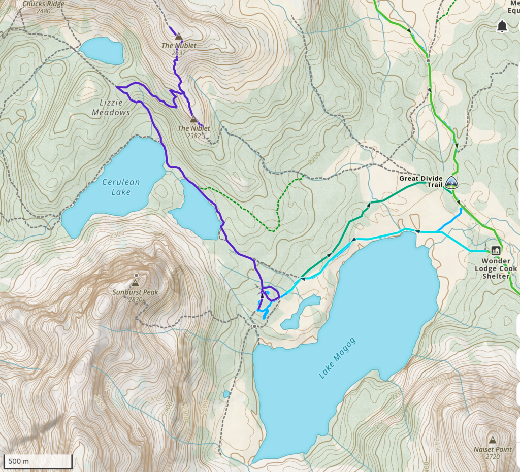
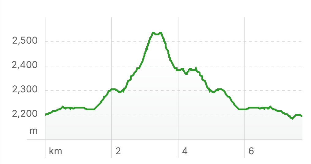
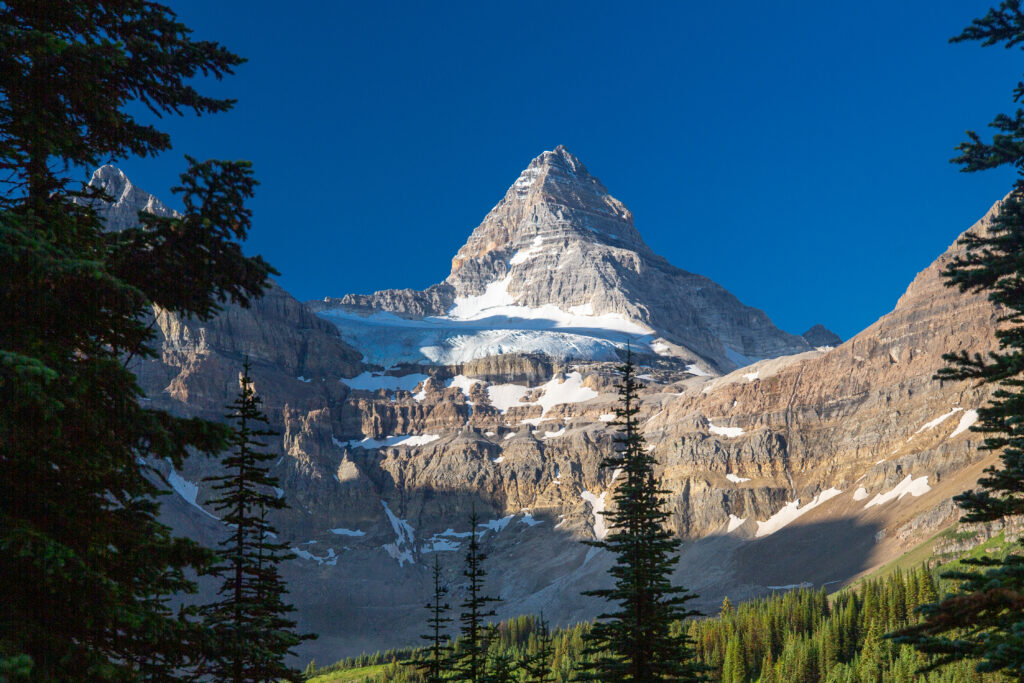
Our plan today was to hike the Niblet and the Nublet and maybe the Nub then afterwards meet up with the guys who should have been staying at Og Lake the previous night. I got up just before 7 am and headed down to the lake to take some photos of Mt Assiniboine. It was a simply stunning morning and Mt Assiniboine put on a grand display. I did not take just a few photos.


I spent about 20 minutes taking photos and just absorbing the view. I headed slowly back up to the tent and chose a different trail back.

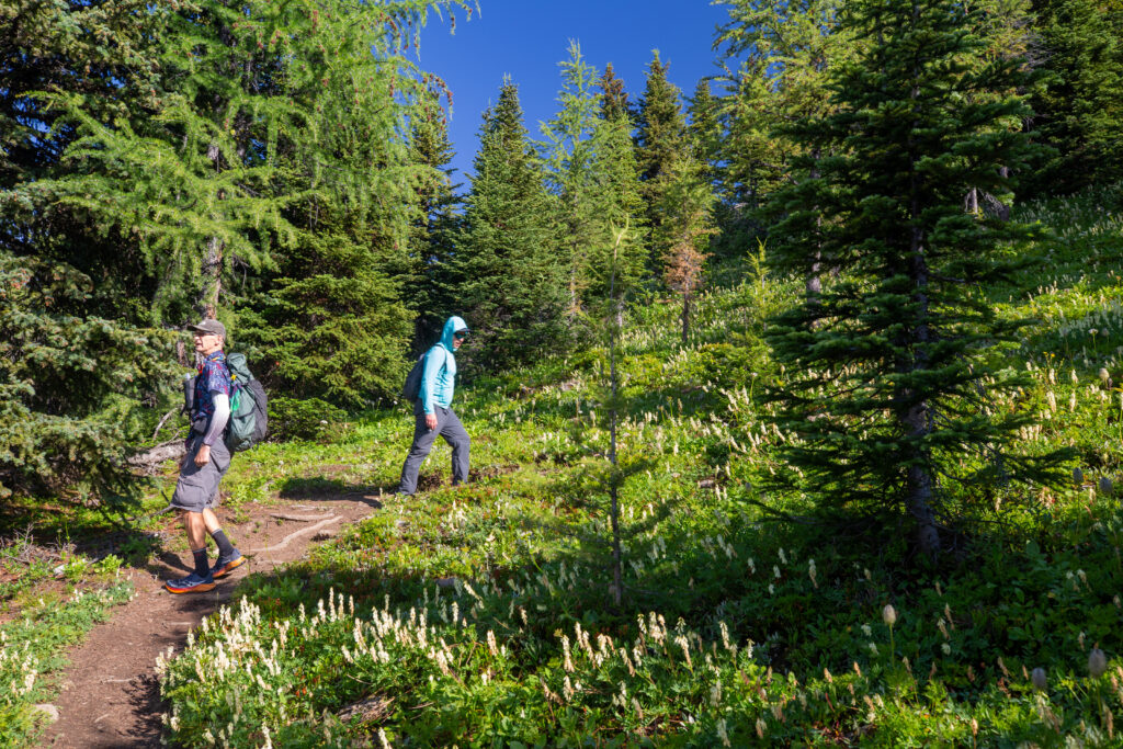
After an uneventful breakfast we headed out just before 9 am to hike the Niblet and Nublet while checking out the numerous points of interest that dot the trail along the way. Food was going down much easier on this day. Maybe this was a sign of good things to come.

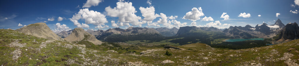
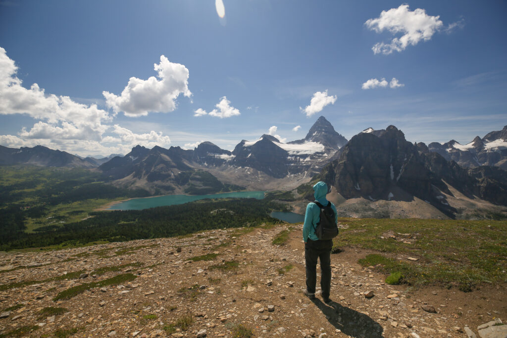
The bright blue skies really made the mountains stand out. I had to be careful not to stop for too long when taking photos but the intent was to have a mostly chill day and no one appeared to be in much of a rush.

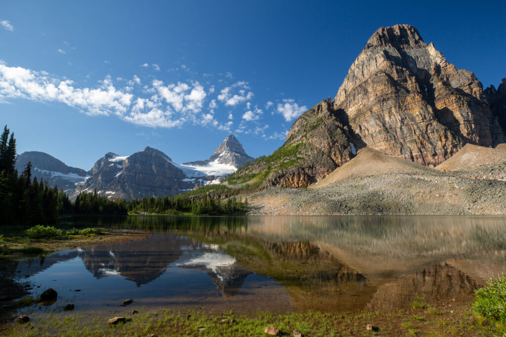



The name for Cerulean Lake comes from the deep blue colour of its glacial waters. Cerulean is a hue of the colour blue that may range from a light azure blue to a more intense sky blue. The first recorded use of cerulean as a color name in English was in 1590. The word was derived from the Latin word caeruleus, “dark blue, blue, or blue-green”.
There are three lakes along the western flank of the Niblet/Nublet/Nub. Sunburst Lake empties into Cerulean Lake with the outlet stream of Cerulean Lake forming one of the two main tributaries of the headwaters of the Mitchell River. The third much smaller lake is Lake Elizabeth and its outflow forms the other main tributary of the Mitchell River. The Mitchell River is short river whose water flows eventually into the Kootenay River which in turn flows into the Columbia River before finding its way into the Pacific Ocean near Astoria, Oregon.
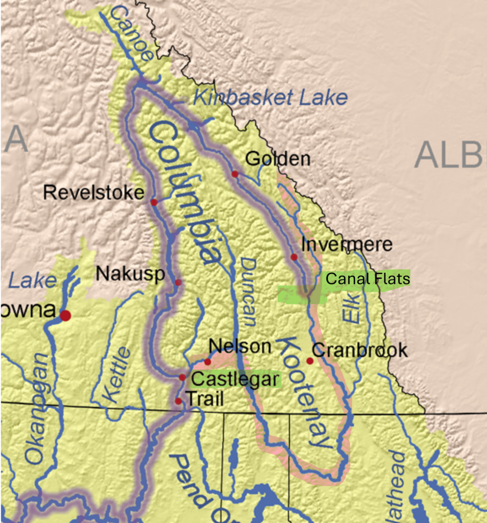
In tracing the water flow I ended up doing a deep dive of the Columbia River System. Analyzing the map carefully I noticed that the Kootenay River actually flows past the headwaters of the Columbia River, Columbia Lake, at Canal Flats and there is just 2 km distance, and 8 m of elevation, separating the two bodies of water at that point. After Canal Flats the Kootenay River continues to flow south into the USA before coming back up into Canada to join the Columbia River at Castlegar British Columbia. From its headwaters at Canal Flats the Columbia River flows northward out of Columbia Lake past the towns of Invermere, Radium and Golden, through the Kinbasket Lake before changing course 180 degrees to head south past Revelstoke and Nakusp before joining the Kootenay River at Castlegar a total distance of 1240 km. Except for that 2 km between the two rivers at Canal Flats the rivers essentially make an island out of the territory they encircle.
After a little more research I feel you could actually call the area an island because in the late 1800’s a landowner received some land south of Canal Flats from the BC government on the condition he build a canal between the two bodies of water. Unfortunately the government did not specify the quality of the canal. The canal was built and during its active life only three boats ever passed through. But the canal effectively severed the land bridge between the two rivers making the land encircled by the rivers an island. Post script the landowner did receive the land from the government for building the canal but after much lobbying from many including CP Rail the government revoked the transfer.

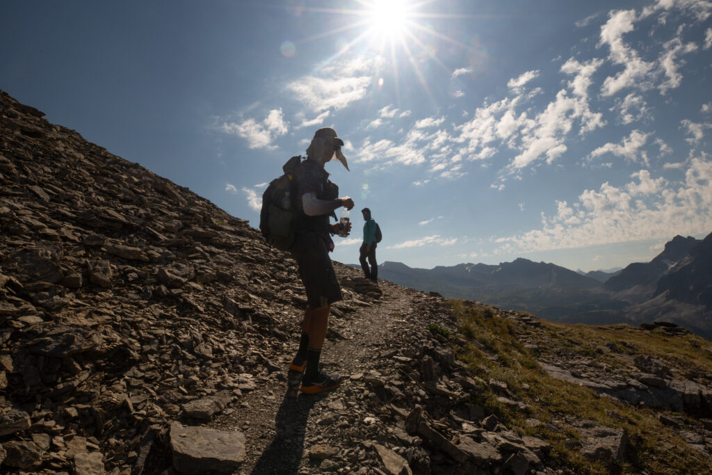

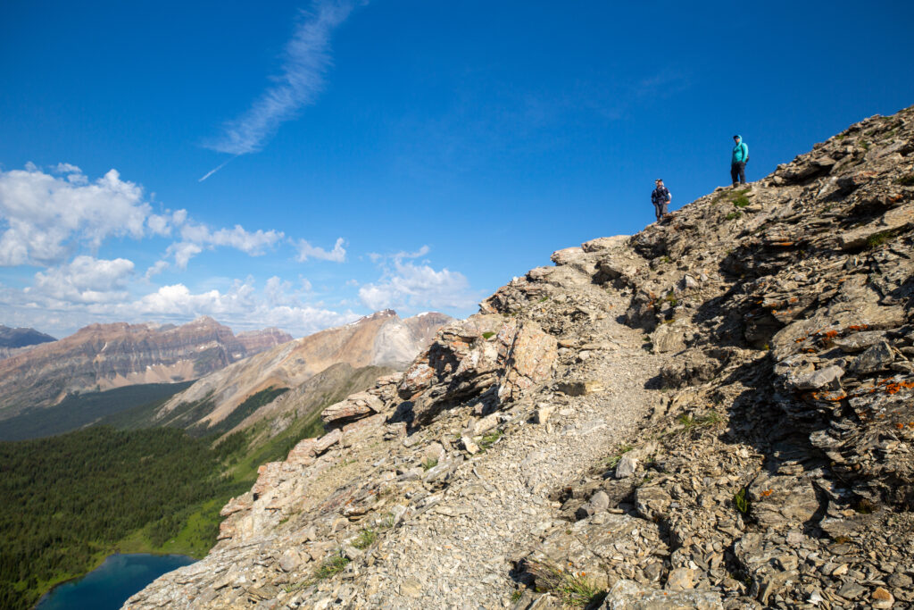
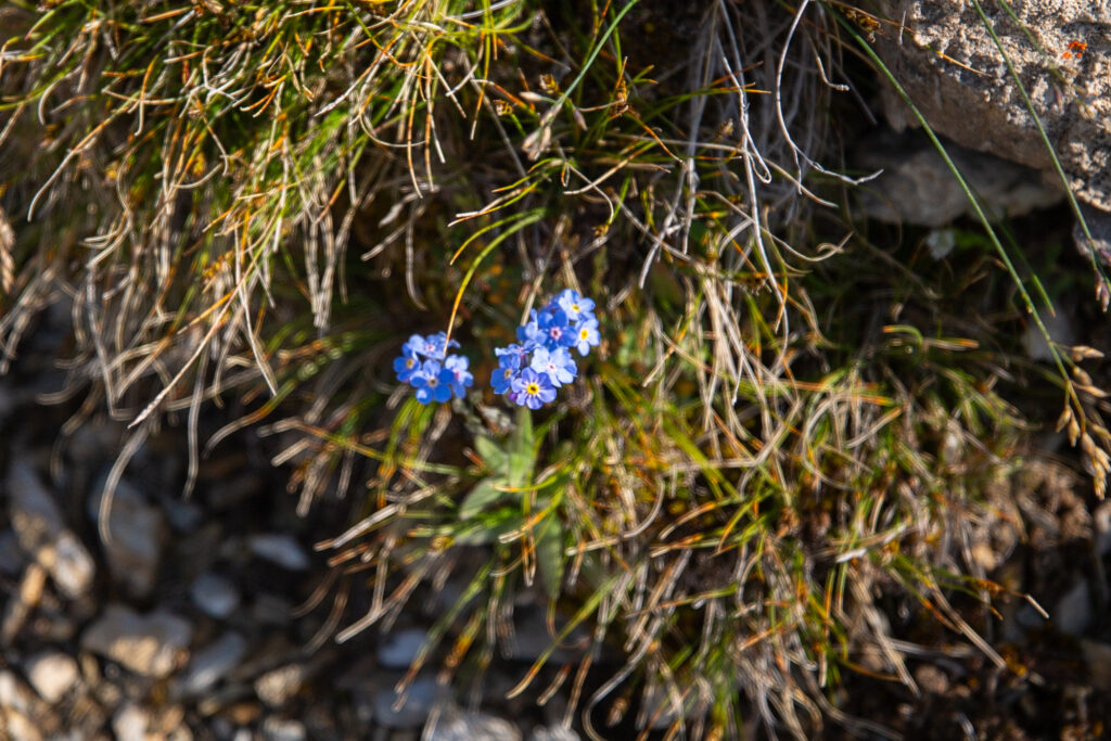

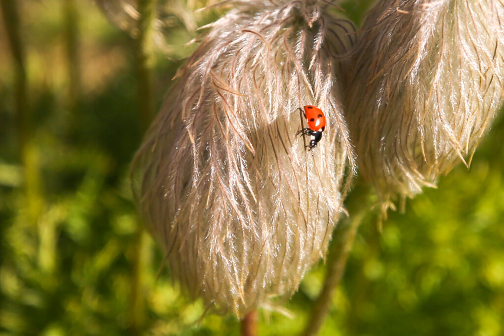
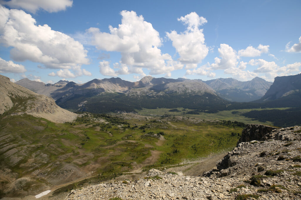
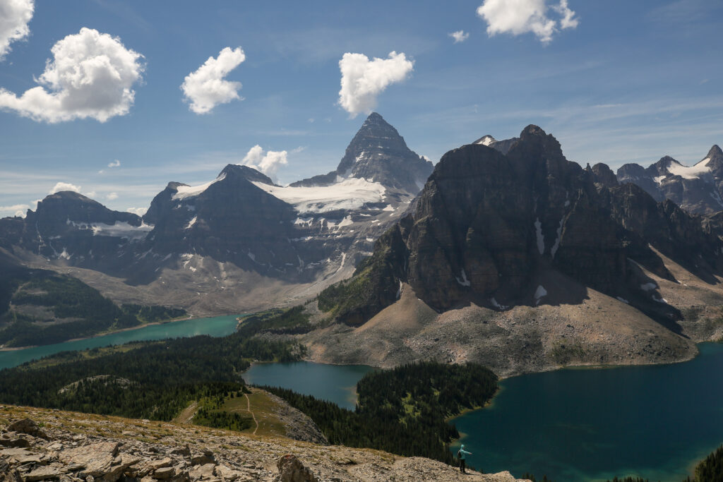
We hiked up to a grassy meadow, which happened to be the Nublet, where we were provided a top shelf view of the area. We decided to linger for a while which turned into an hour and twenty minutes.






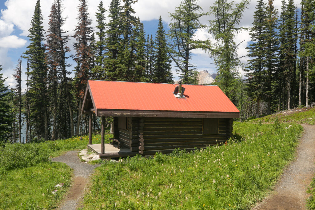

Lizzie Rummel led an interesting backcountry life hosting visitors at her very small cabin. The signboard just outside the cabin did a nice job of summarizing her life spent in the Mt Assiniboine area. Rummel was made a member of the Order of Canada for her work that “enrich her country by sharing her deep love of the Rocky Mountains with all who meet her.” There are numerous features named in honour of Lizzie Rummel including an elementary school back home in Canmore, Alberta.
Just after passing by Lizzie’s cabin we ran into the rest of the group heading the other way. Ken, Chris and Neil had arrived at camp earlier and after setting up decided to head up to visit the Niblet and Nublet. Their campsite was up near Bent’s so we agreed to meet up at dinner at the upper cook shelter nearest their campsite.

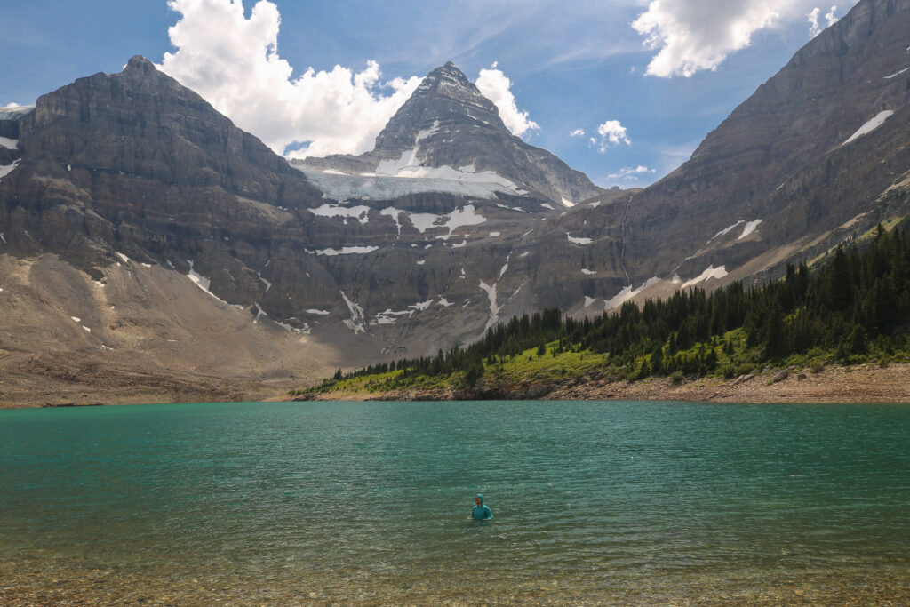
Spencer and I both headed down to Lake Magog for the afternoon. Spencer contemplated taking a dip in the lake. Hailing from the Maritimes Spencer is used to swimming in the cool (frigid) waters of the North Atlantic. So in he went. It took me a little while to work my way in but I did get in. Spencer definitely spent more time in the water than I did but even my short dip was very refreshing. I took the opportunity to give my shirt and pants a wash. While I waited for my clothes to dry I sat under my umbrella in my rain jacket.
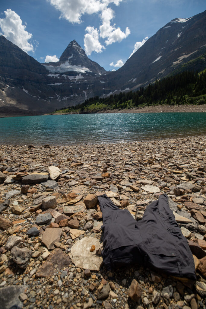
As we sat on the rocks soaking in the sun we mused how the clouds were looking a little more threatening. We watched as one particular cloud appeared to be forming into a possible thunder cell as it rose into the sky. But just as fast the cloud dissipated. Guessing we are not become the next great backcountry weather forecasters.

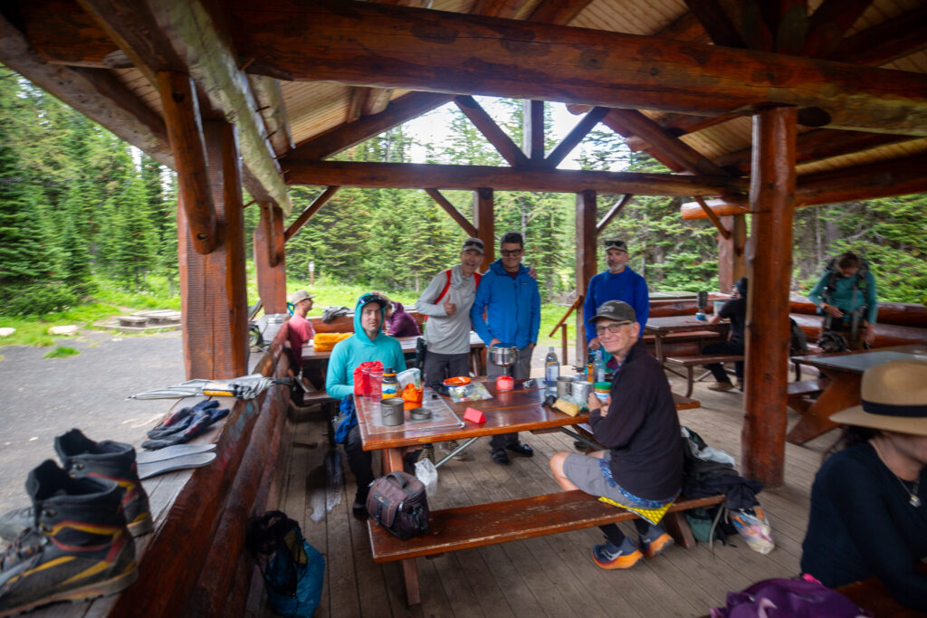

Normally after a hearty meal and the trading of some good stories the day is just about over but not on this day. Sometime during the story telling it started to rain outside and at times very hard. Out of the darkness came in two soaked hikers arriving into camp. They took a table near ours and started to change out of their wet clothing. It was a mother with about a 13 year old daughter. The mom was all business but the daughter was very smiley and seemed pretty happy despite her shivering. Ken sprung into action and politely asked if he could be of assistance and would they like some hot tea. The mom very enthusiastically agreed. After making the tea Ken then proceeded to heat up some more water for their dinner. Once the dinner was ready and the daughter was eating the mom left to set up the tent in the rain. I struck up a conversation with the daughter thinking I could help distract her while she ate. She did not need any help keeping her mind off how cold she was. She was a chatterbox. I heard all about their day, why they where late and how it started raining as they came over Wonder Pass. She freely admitted that she was a slow eater. I can attest that she is extremely slow. I kept encouraging her to eat but it was like pushing on a rope. When her mom came back she also stated that the daughter was the slowest eater she knew but was happy that she had actually eaten most of her dinner. With things under control I went back to our table where things had began to get out of control.
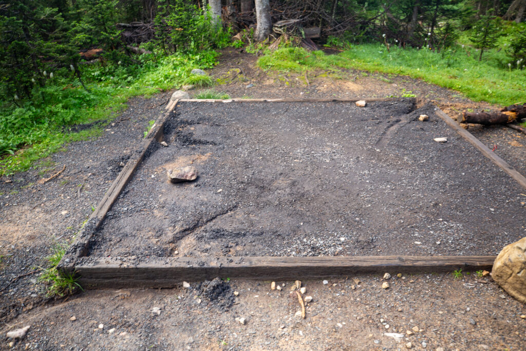
With the steady and at times hard rain coming down at some point Chris felt the need to go and check on their tent. He came back telling Ken and Neil they had to come quick because they were having flooding issues. Apparently the wooden frame around the tent pad was holding the water in and the rock hard dirt was not allowing any of the water to soak away thus creating a small pond with the tent a precarious island in the middle. After a few minutes I headed over to see how well they were doing. It was only raining softly at this point but they were all looking a little wet. I got to work helping dig a drainage hole down and under the wooden frame to allow the water to escape. Despite the chaos everyone was in pretty good spirits. The water ponding was a problem but it was a solvable problem.

With all the issues for the evening resolved we agreed to meet the next morning at 8:30 am to head out for our next destination Marvel Lake CG, or for Ken, Neil and Chris Big Springs CG.