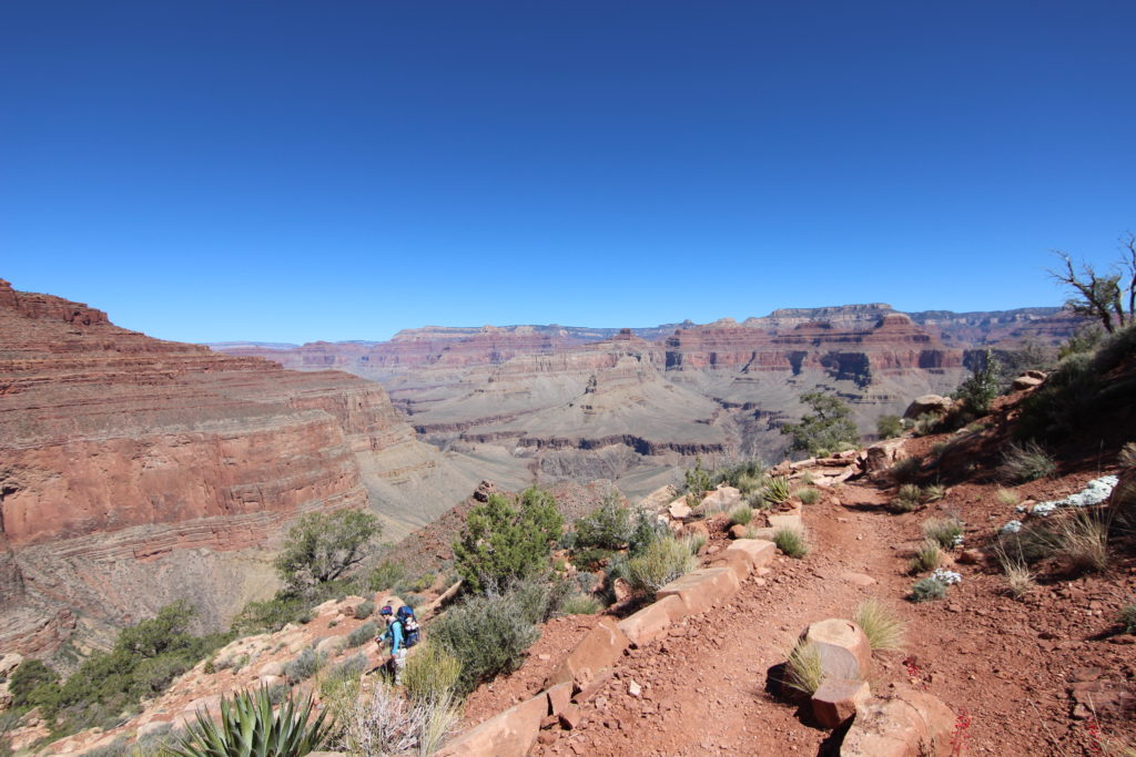
Hermit Trailhead to Hermit Creek
Distance 15.6 km, 1323 m elevation loss, 6 hrs 30 min
We got up after a good sleep. While making breakfast and packing, I got a phone call on my cell. I often do not answer calls to my cell, but my thought was “Who could be calling me?” It was the Calgary Airport calling: they had blue duffel bag with no luggage tags, but personal identification tag with my name and number. They asked if I wanted the bag sent to me. As we were only minutes from actually leaving our room to start the hike, I asked them to have our airline hold onto the duffel bag, and we would pick it up when we got home. It was good to know that we hadn’t lost our equipment. But it was time to start the hike with the bits and pieces we had cobbled together.
We parked the car at the Backcountry Visitor Centre and headed off to catch the shuttle to Hermit’s Rest. On the bus just after 8am.
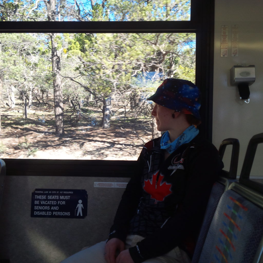
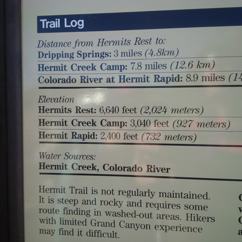
After a short but pleasant bus ride, we arrived at Hermit’s Rest. We took a moment to read the information boards at the trailhead. Always a fun source of information, plus a warning that the trail is unmaintained and can be challenging for inexperienced hikers. While I felt confident in our abilities, I was curious how we would handle the challenges ahead.
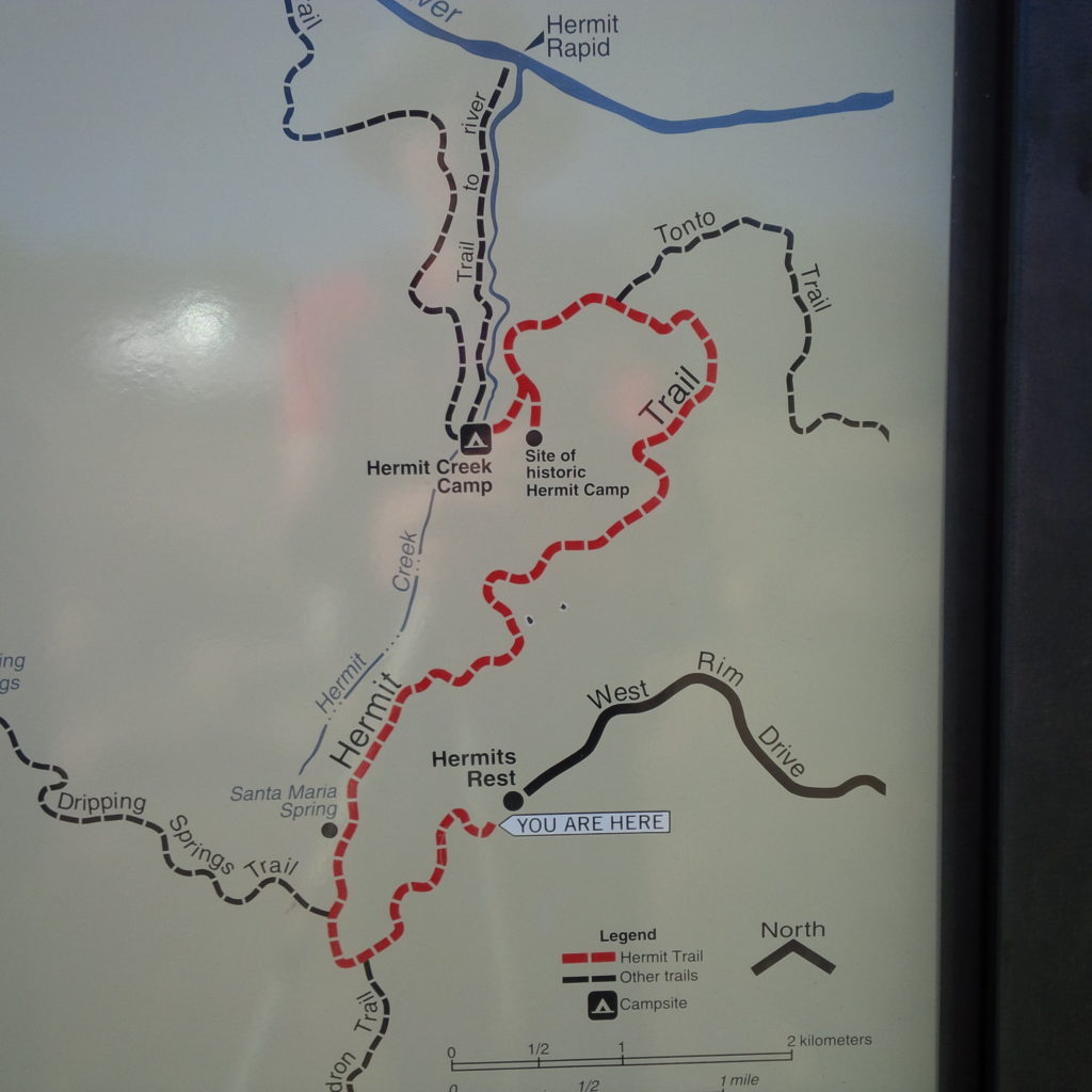
We hit the trail about 9am, not bad, considering we had to allow for the bus ride. The trail is actually pretty straightforward, no route-finding necessary. After a brief walk towards the inner canyon, with tantalizing views, you turn 180 degrees and walk back towards the head of Hermit Canyon. We passed a large group; they looked like they were part of geology class offered by one of the local universities or the Grand Canyon Conservancy. Something I will definitely do at some point in the future.
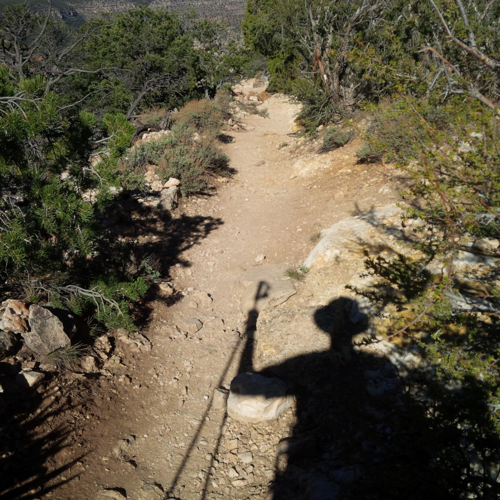
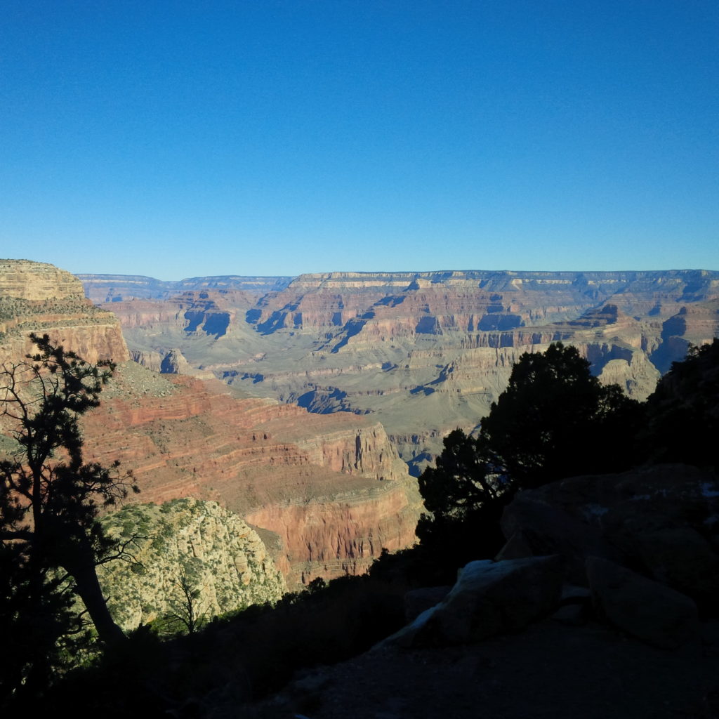
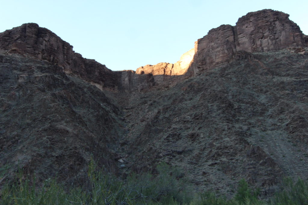
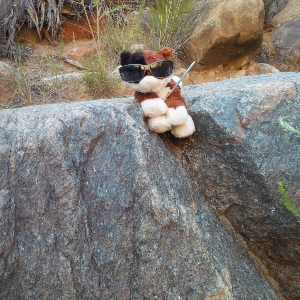
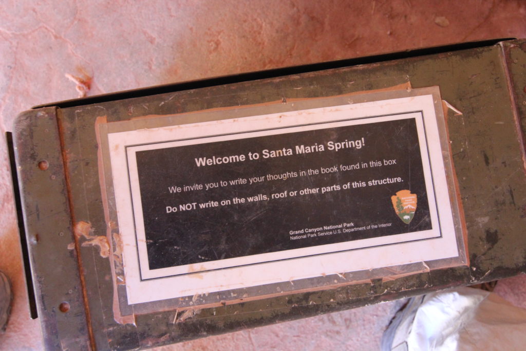
Well-defined switchbacks had us constantly dropping in elevation as we traversed first the cliffs of the Kaibab Limestone and the Coconino Sandstone. After about 1hr 10min we arrived at Santa Maria Springs, a distance of 3.5km and an elevation loss of 500m or about 142m/km. We had lost more than 37% of the elevation in a just 22% of the distance for the day. While the trail had been a nice steady gradient for descending, it would be a tough climb out. Santa Maria Springs is a nice little stop. Micah took their time investigating the little building and some items left by fellow hikers.

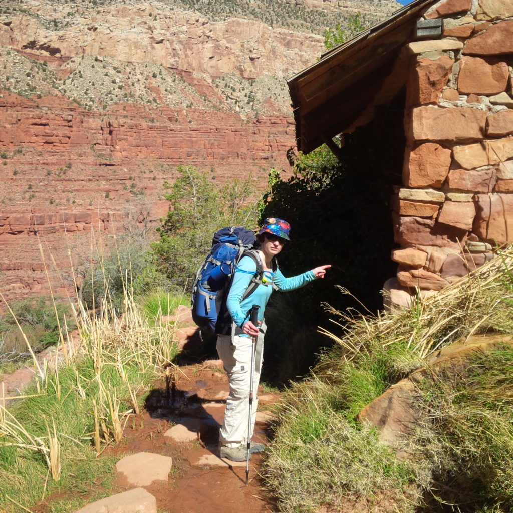
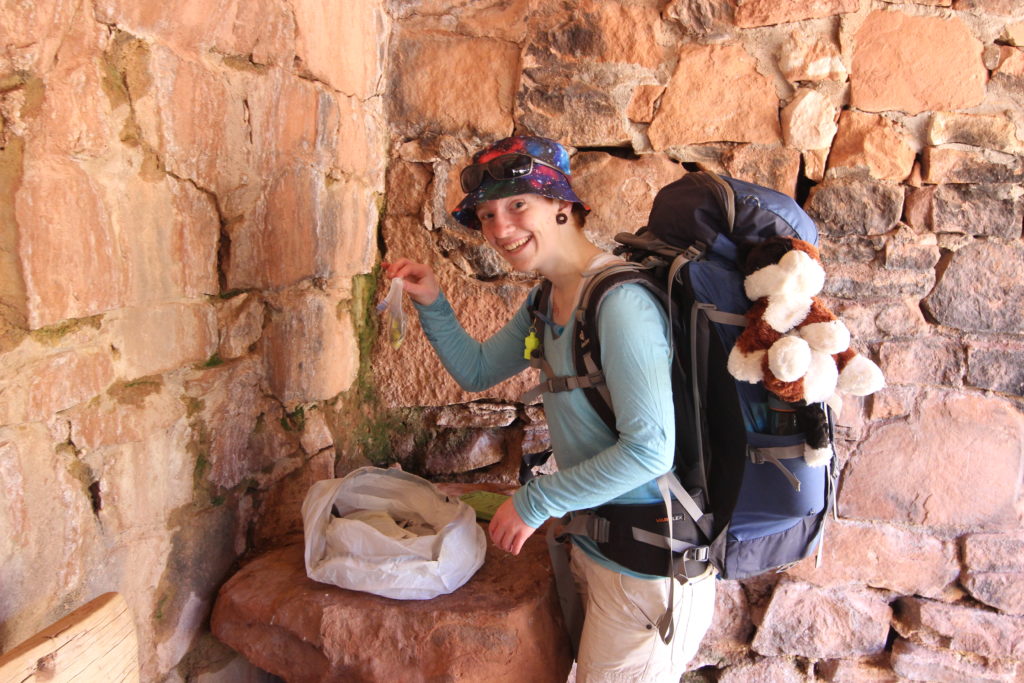
The trail now headed along the Supai rock formation, a series of cliffs and slopes in quick succession. Lengthy traverses were punctuated by steep switchbacks, making for a fun and interesting hike. Adding to the excitement were some rock falls which covered the trail, requiring a bit of scrambling. Always good to pause to make sure that you’re still on the trail after clearing the rockfall.
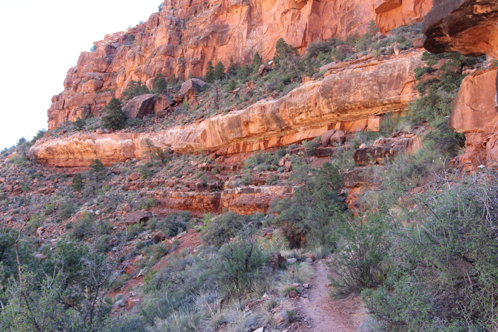
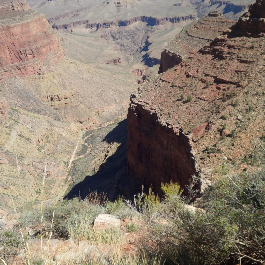
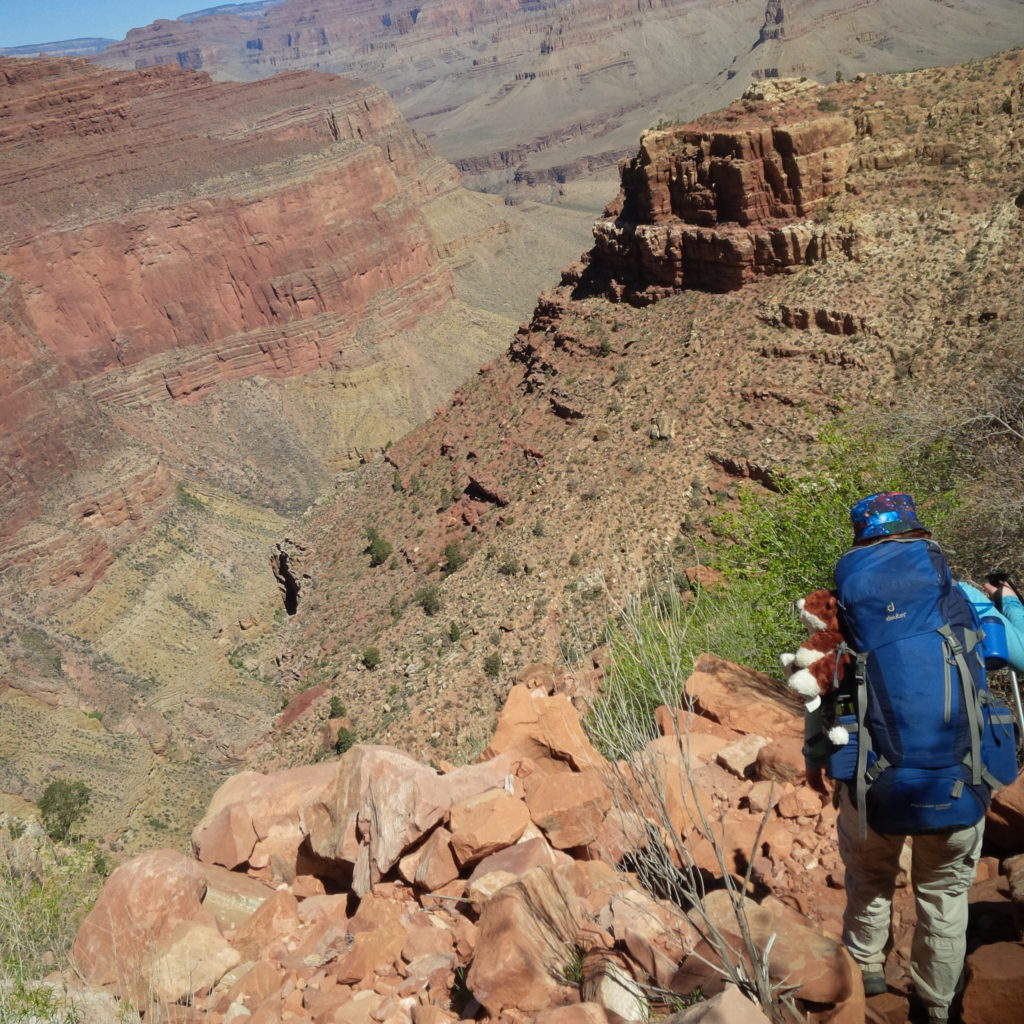
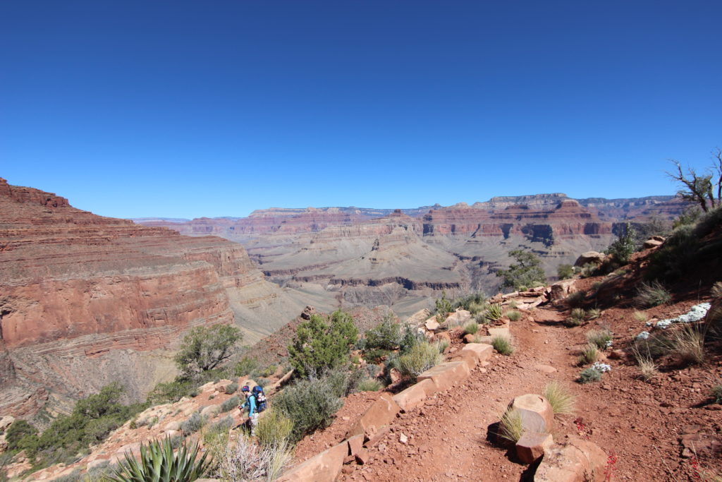
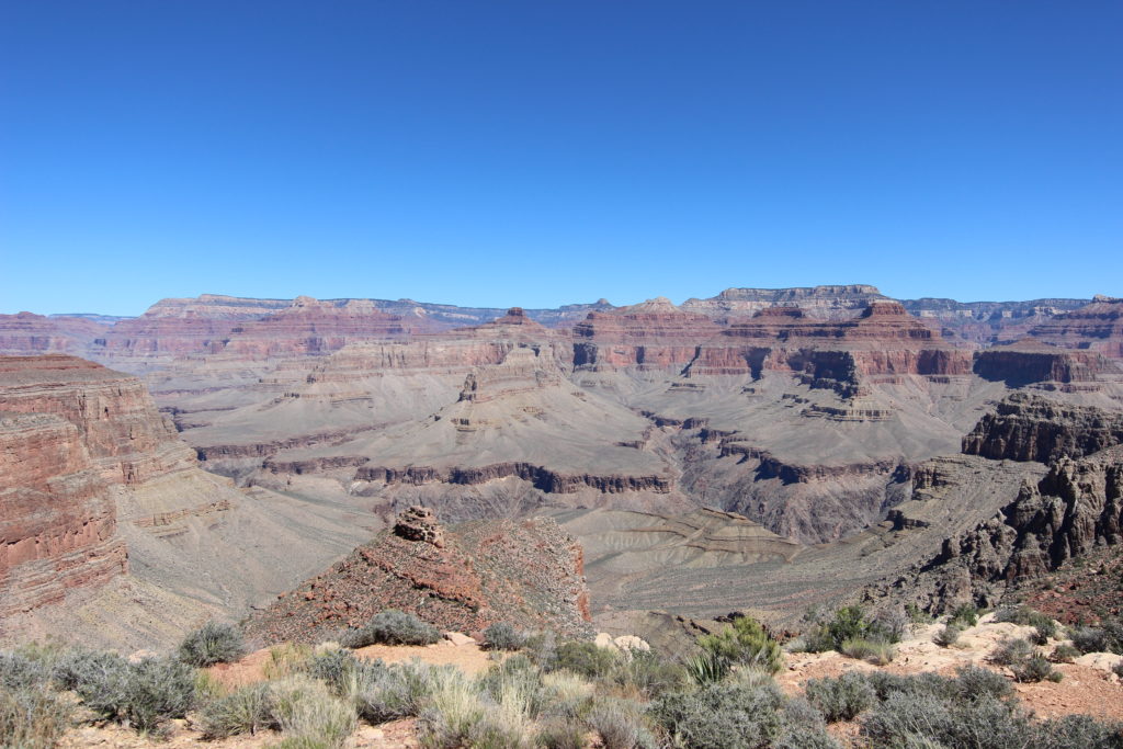
We stopped for lunch at Lookout Point, a beautiful spot that juts out into the canyon, allowing for panoramic views up and down the inner canyon.
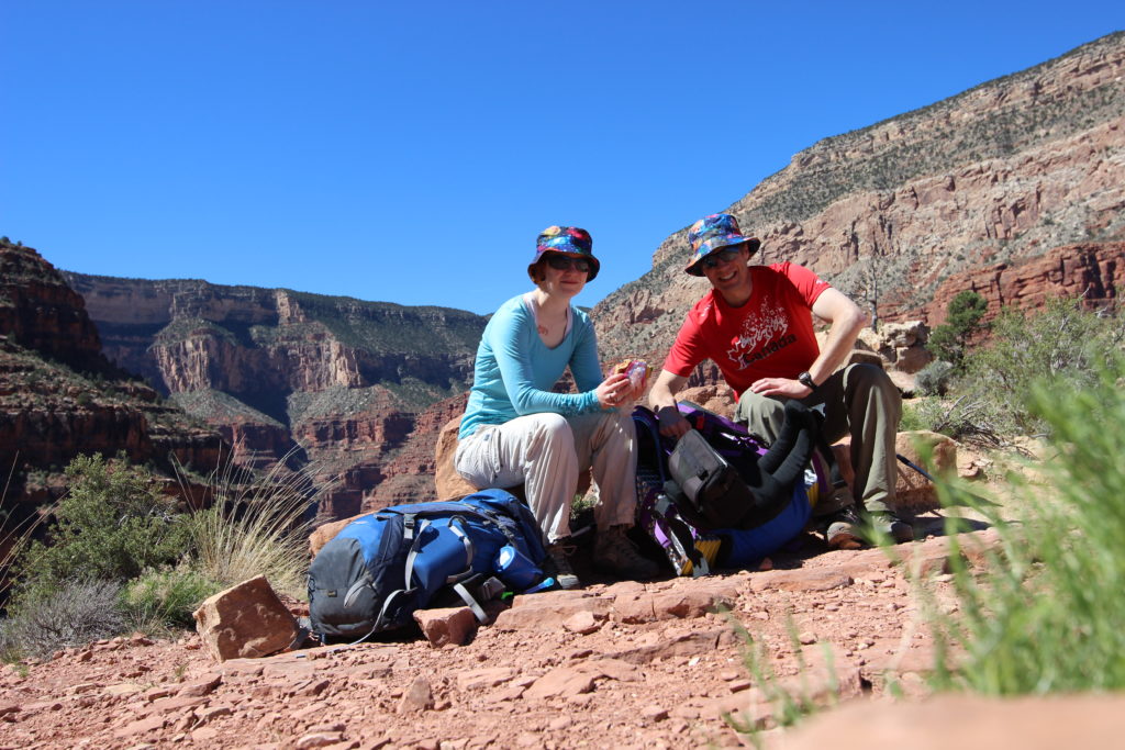
It took another 1hr to get to Breezy Point. After the big initial elevation loss, the section from Santa Maria to Breezy Point covered 5.3km but only 170m of elevation loss.
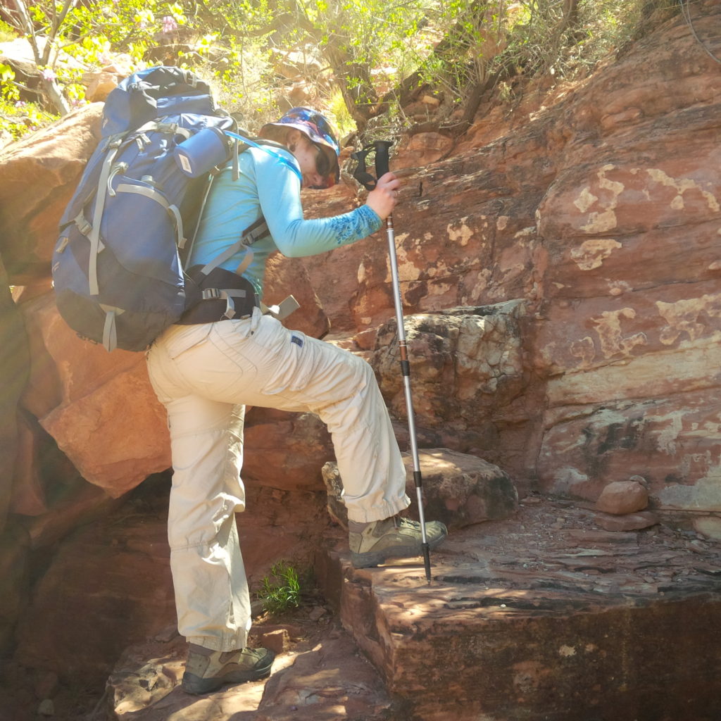
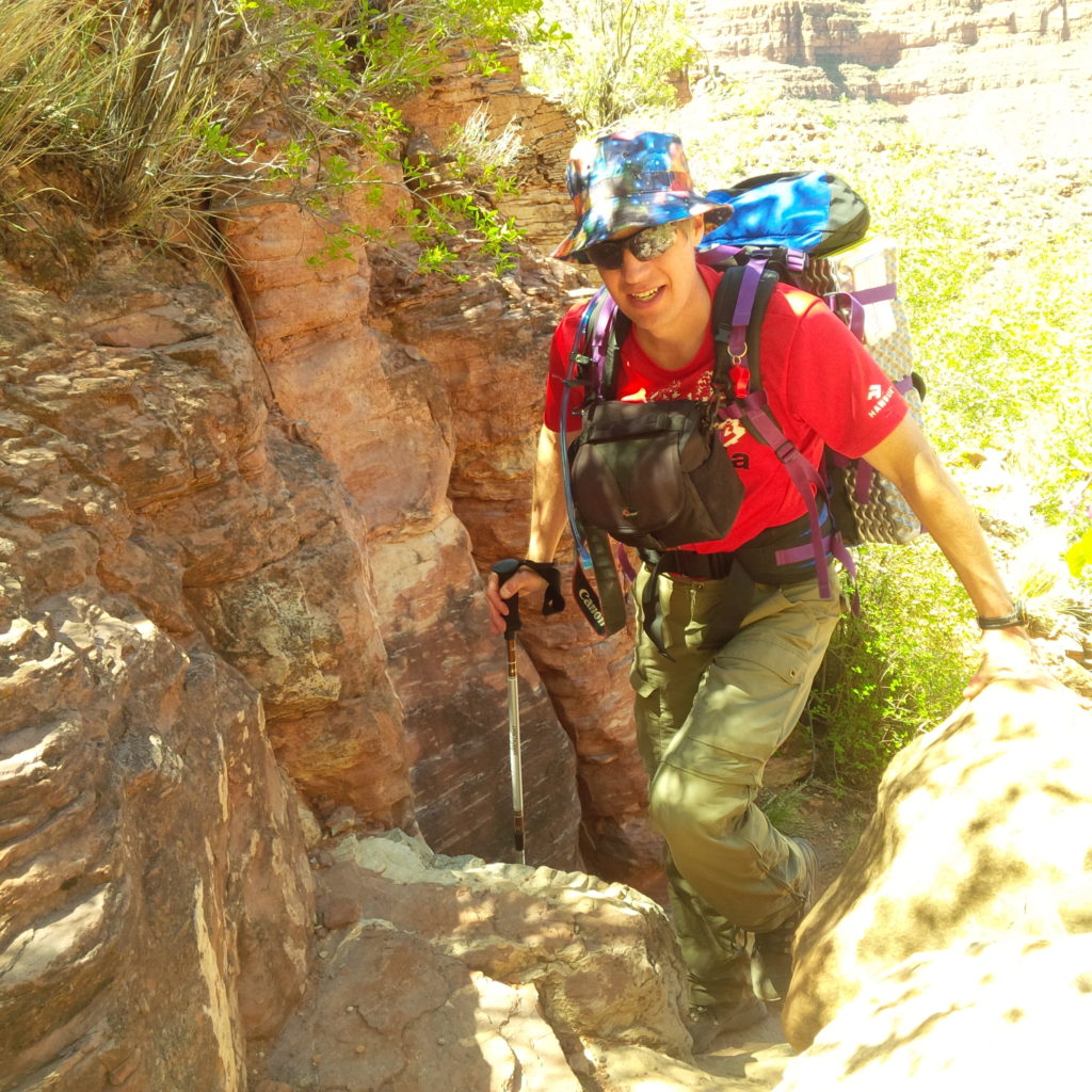
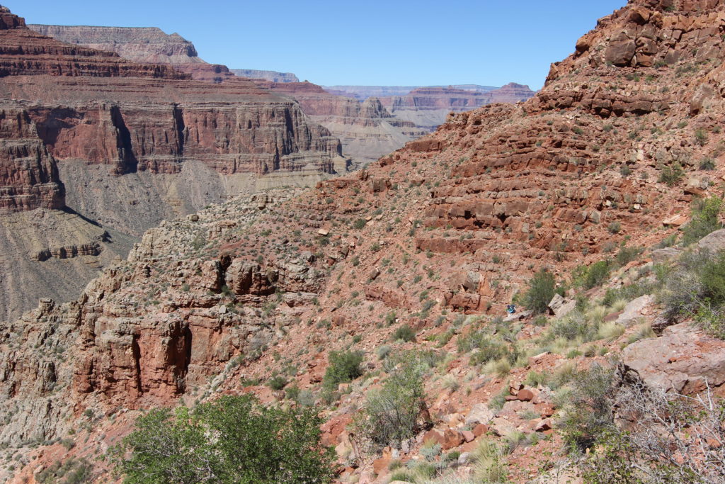
Next we came to the top of the Cathedral Stairs. Getting down the Redwall Limestone is always a challenge in the Grand Canyon. The Cathedral Stairs are a series of steep switchbacks which took us down the Redwall quickly. There was some exposure. If you’re careful where you put your feet and take your time, the stairs are no problem. We stopped for a quick photo, then headed down the stairs. Including a lunch break, it took us 1hr 50min to get to Cathedral Stairs after leaving Santa Maria Springs.
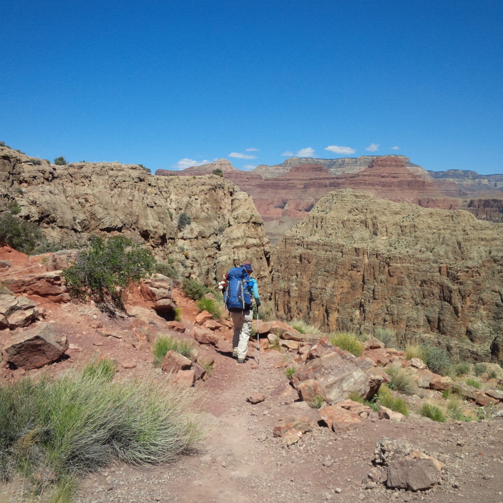
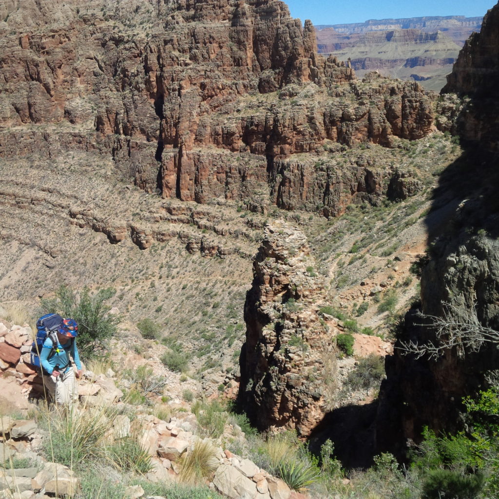
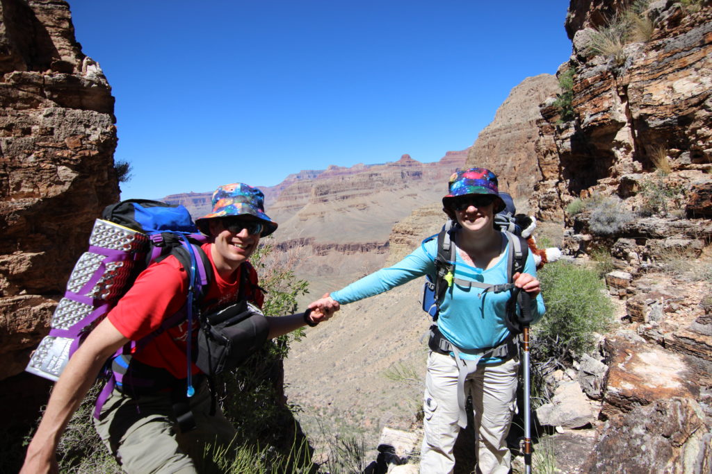
After the Cathedral Stairs, a long traverse followed. A quick descent and we arrived at the junction with the Tonto Trail, about 4hrs 50min after we left the trailhead. Since Breezy Point, we had only travelled 1.5km, but lost 369m of elevation or 246m/km, and very steep pitch.
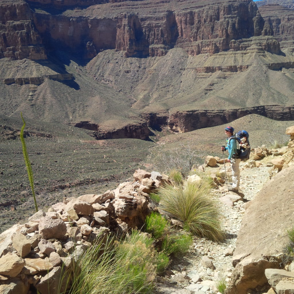
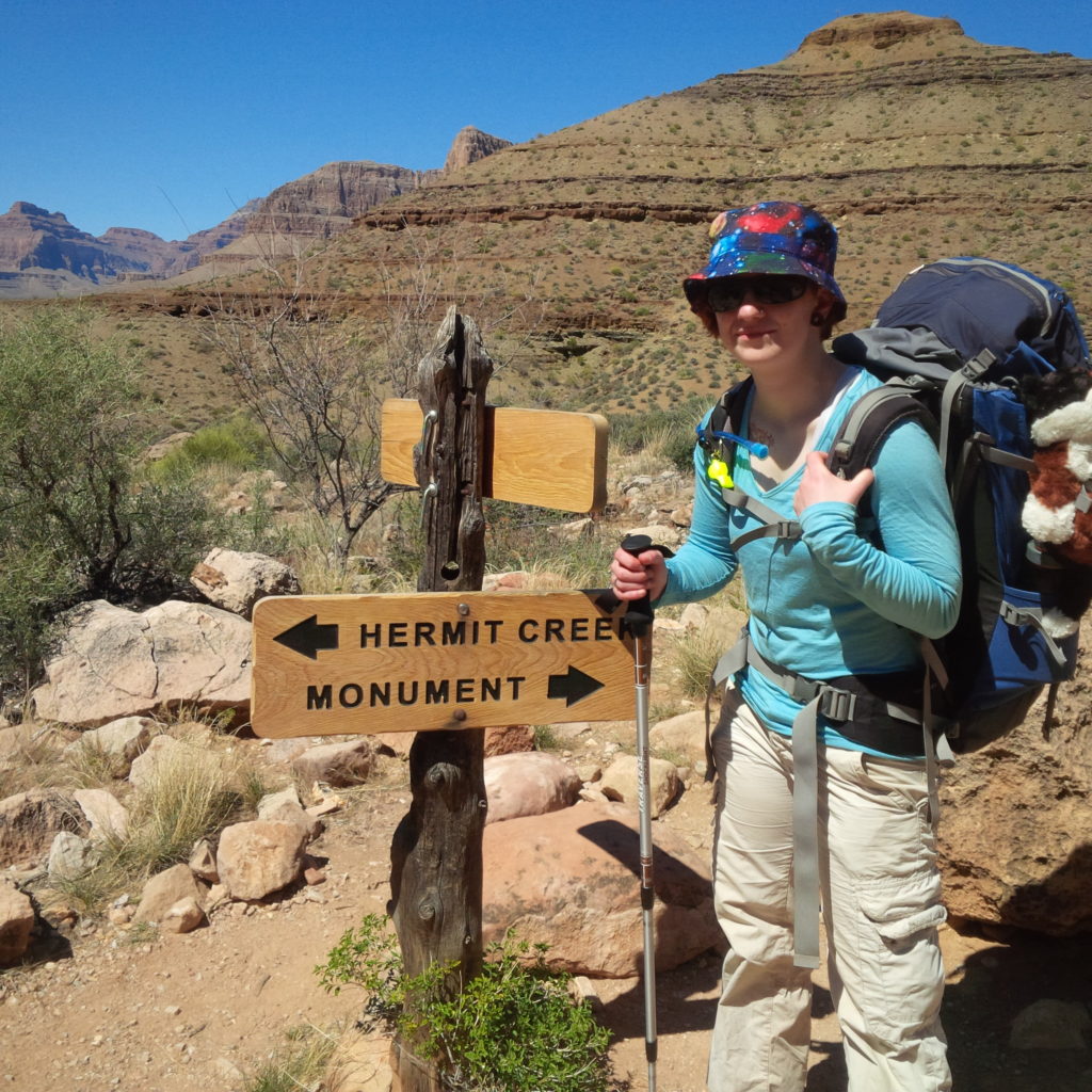
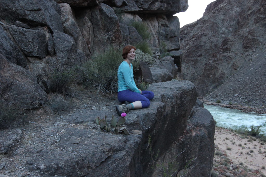
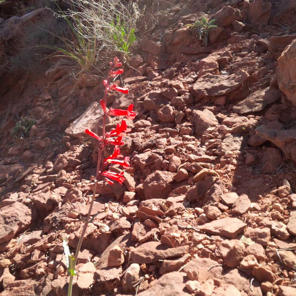
When hiking big distances through the Grand Canyon, it’s easy to be focussed on getting to your destination. It’s a good idea to stop occasionally and take in all the scenery the canyon has to offer. Since it was spring, brightly coloured flowers and cacti were everywhere.
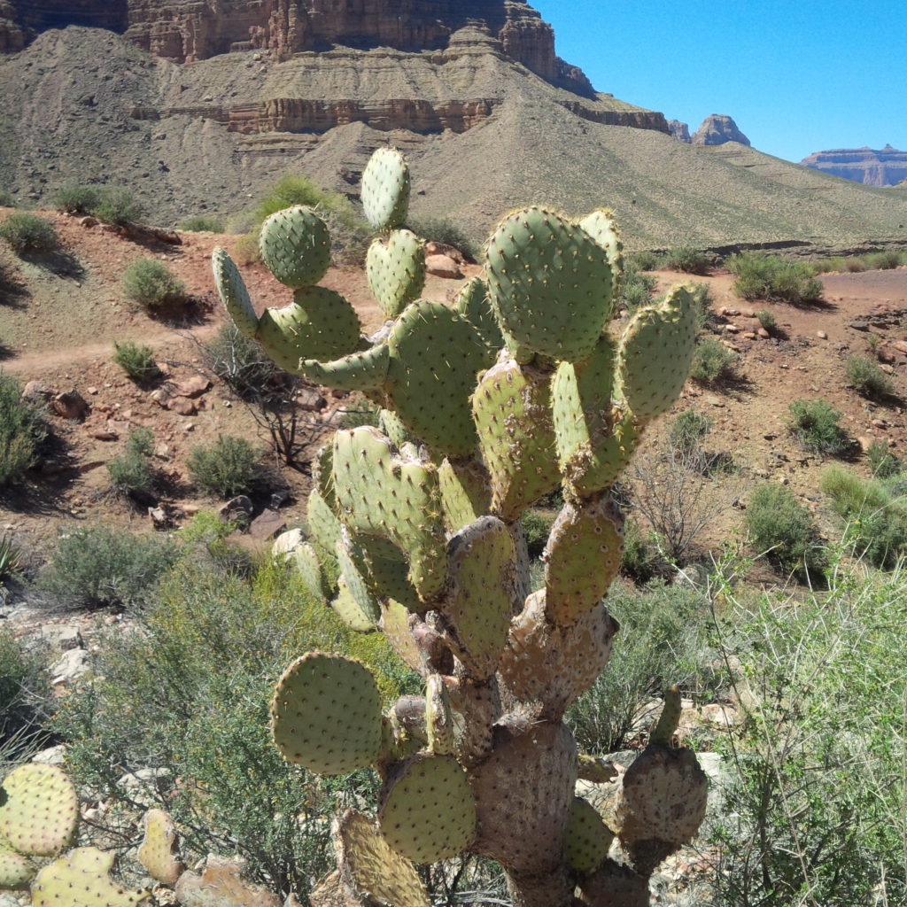
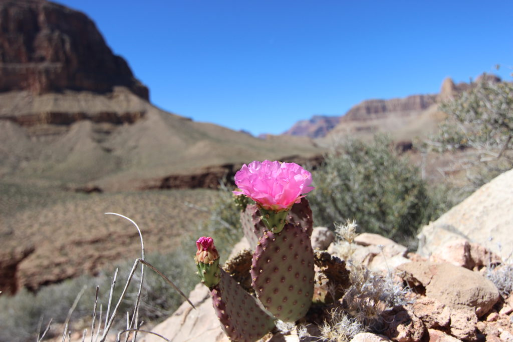
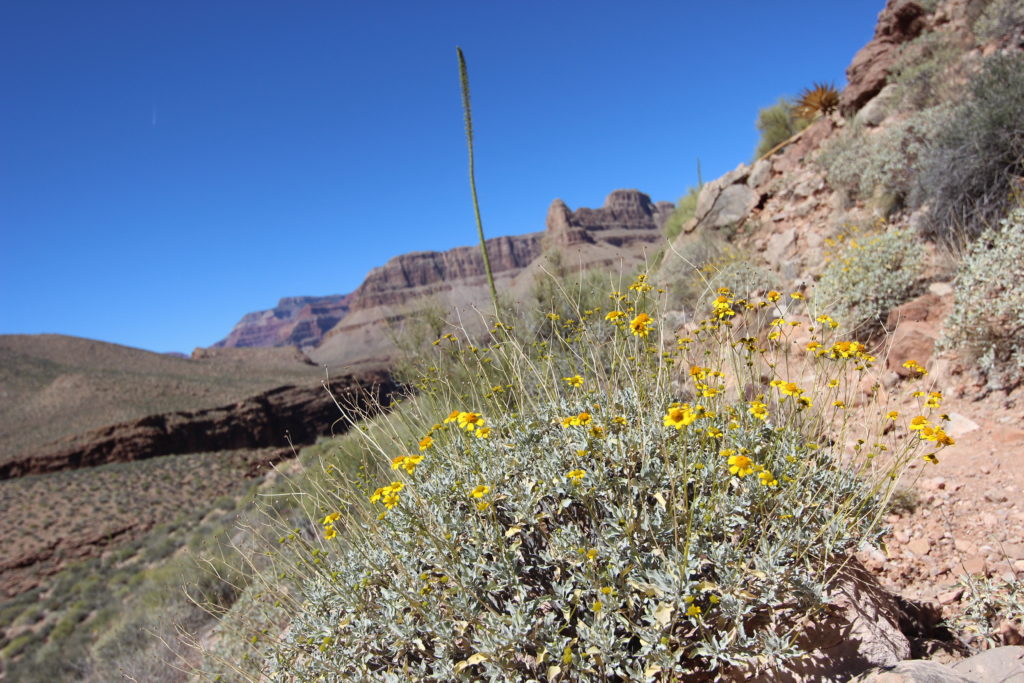
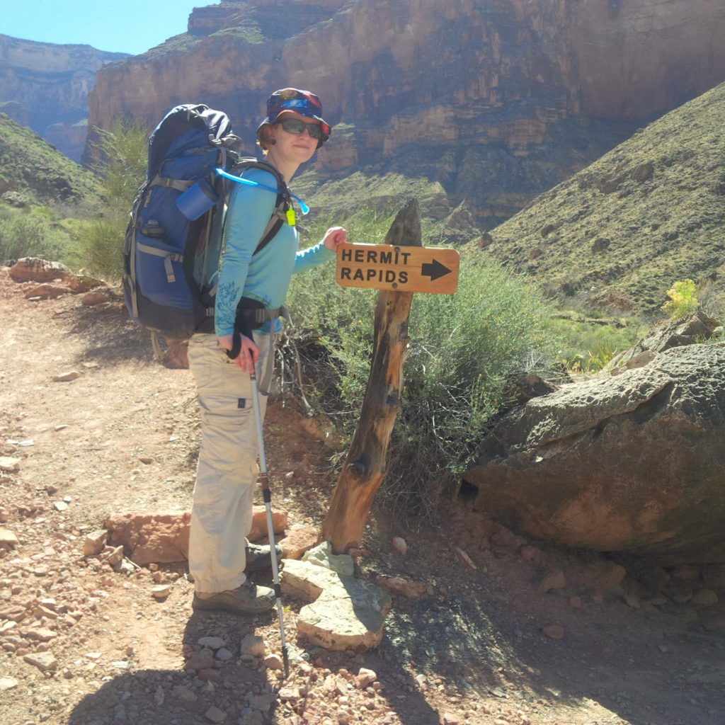
A quick 20 minutes of hiking took us to the junction of the Tonto with the trail to Hermit Rapids.
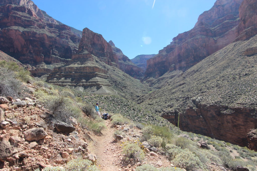
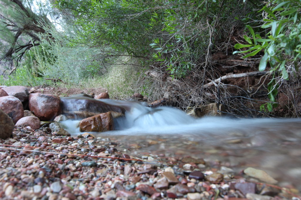
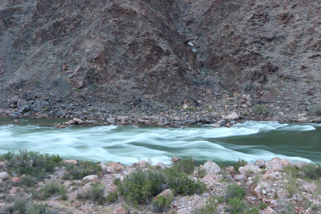
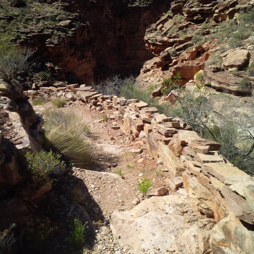
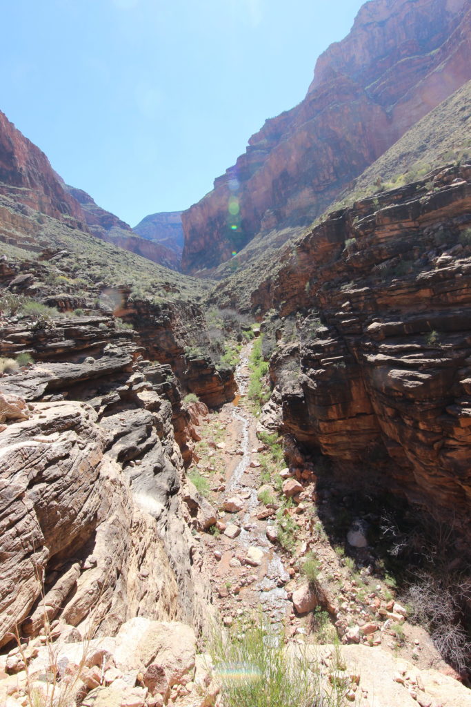
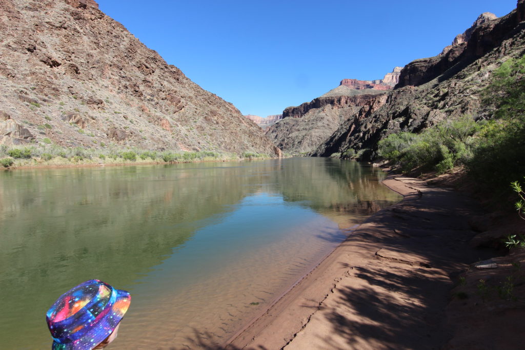
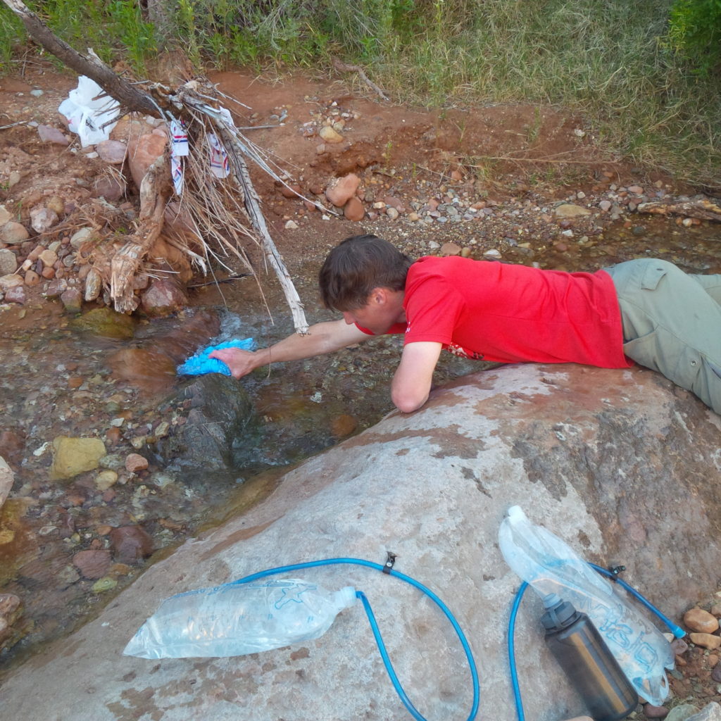
We followed Hermit Creek down the rapids through a canyon. It is absolutely impressive how such a trickle of water can be the root cause of such a large canyon. The initial descent into the canyon is down well-graded trail with a little wall beside it, a nice touch as there is some exposure. Once we hit the canyon, hiking to the river was a simple matter of following the canyon down to where Hermit Creek empties into the Colorado River.
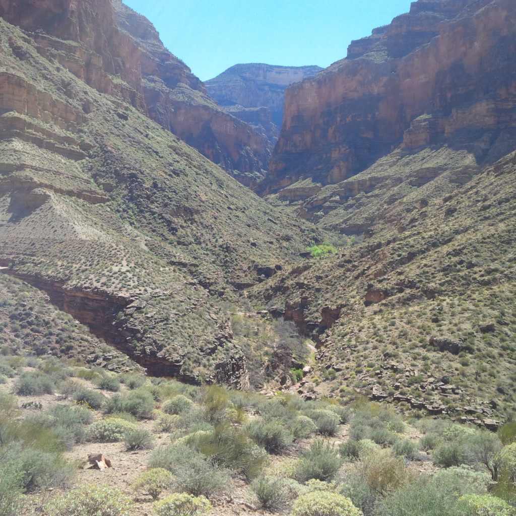
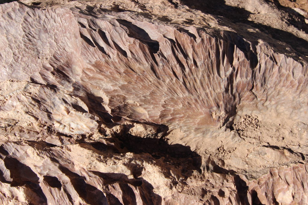
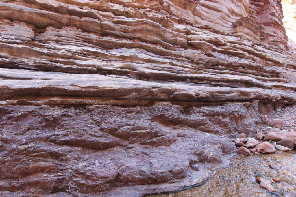
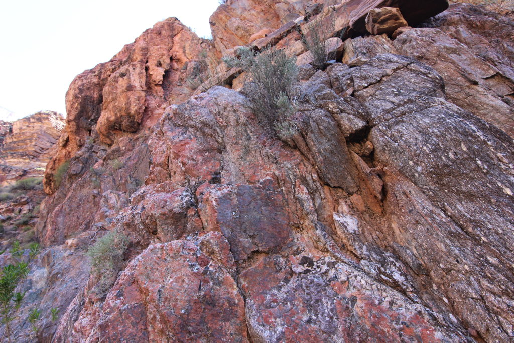
It was interesting to see the rock change from the Bright Angel Shale, through the cliffs of the Tapeats Sandstone, to the Vishnu Schist of the Inner Gorge. The contact point from the Tapeats to the Vishnu represents a time span of approximately 1.2 billion years between the creation of the two rock layers. This represents more than 25 percent of Earth’s history. We had walked 2.5km from when we had left the Tonto Trail, down 184m, in about 1hr 15min (we stopped a lot to enjoy the canyon).
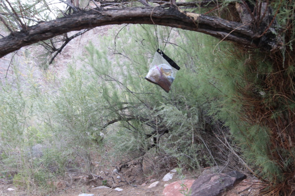
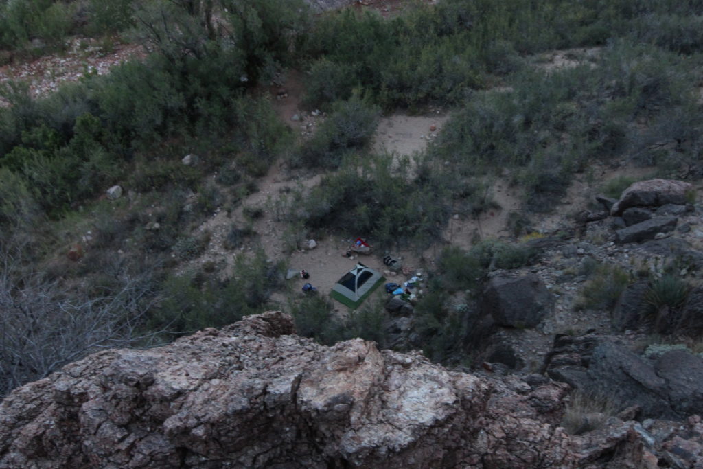
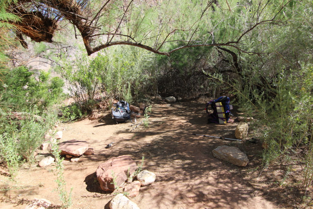
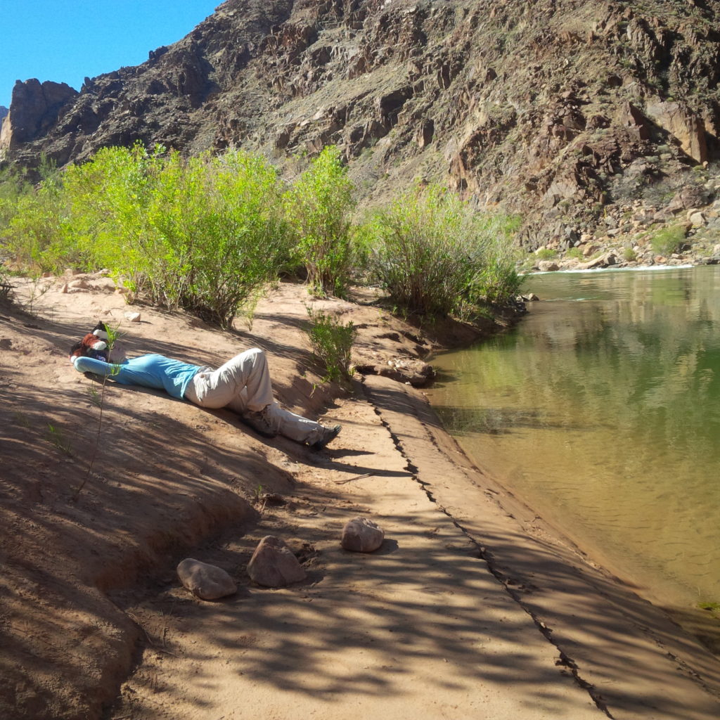
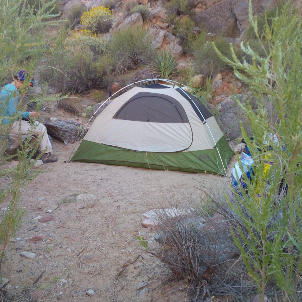
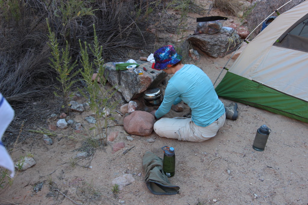
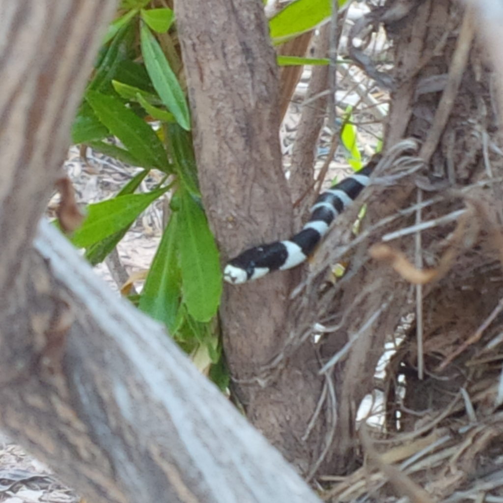
Once arriving at the river, we dumped our packs and explored. There is a small beach and we found a snake in the grass! After setting up camp (the REI Half Dome 2 tent that we purchased set up easily) and eating dinner, we explored the area. A young couple arrived as darkness started to settle, but we never saw them again. We hung our Ratsack metal food cache bag from an old tree. We treated ourselves to a movie off the my tablet, I think it was Monsters Inc.
After a brilliant day on the trail, it was time to head to bed, lying on our foam pads and sharing the sleeping bag as a duvet.
