
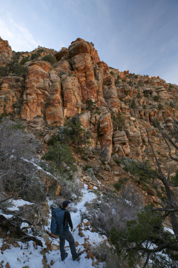
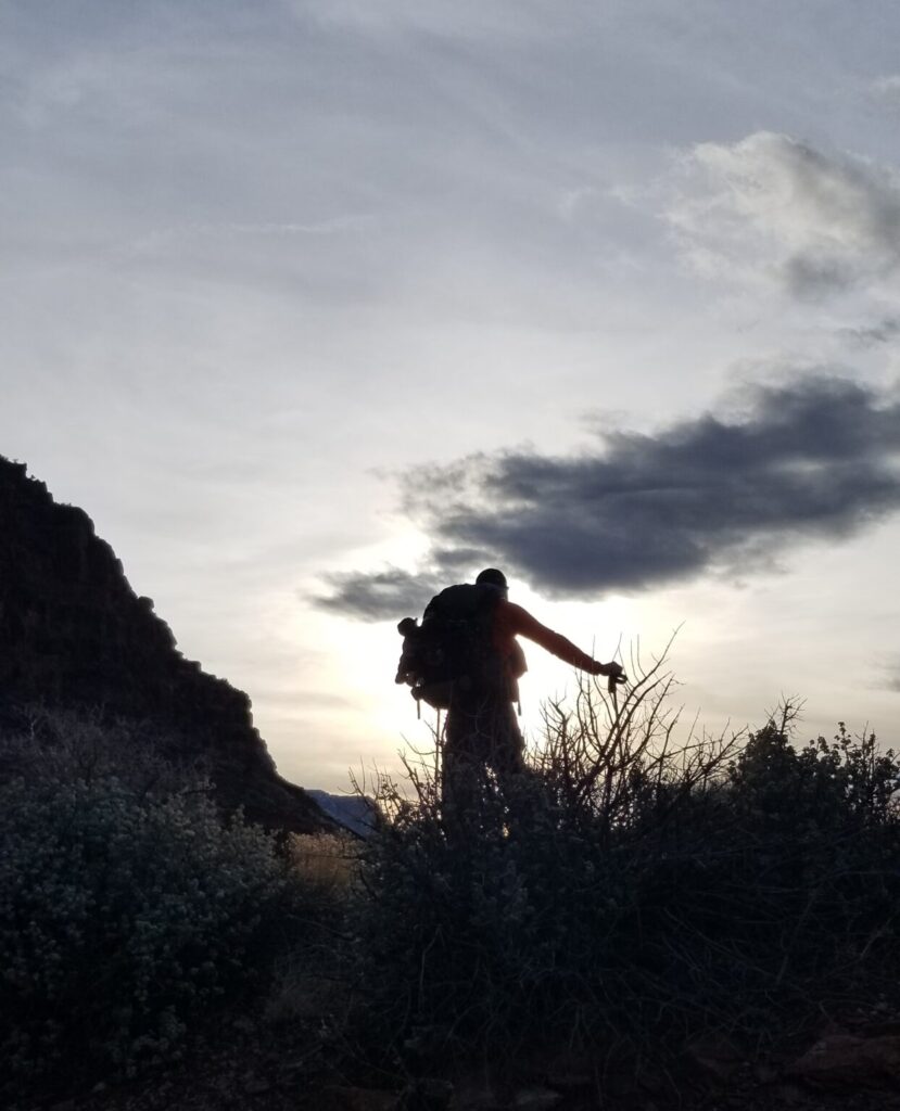
Racing the shadows down the Tanner Trail.
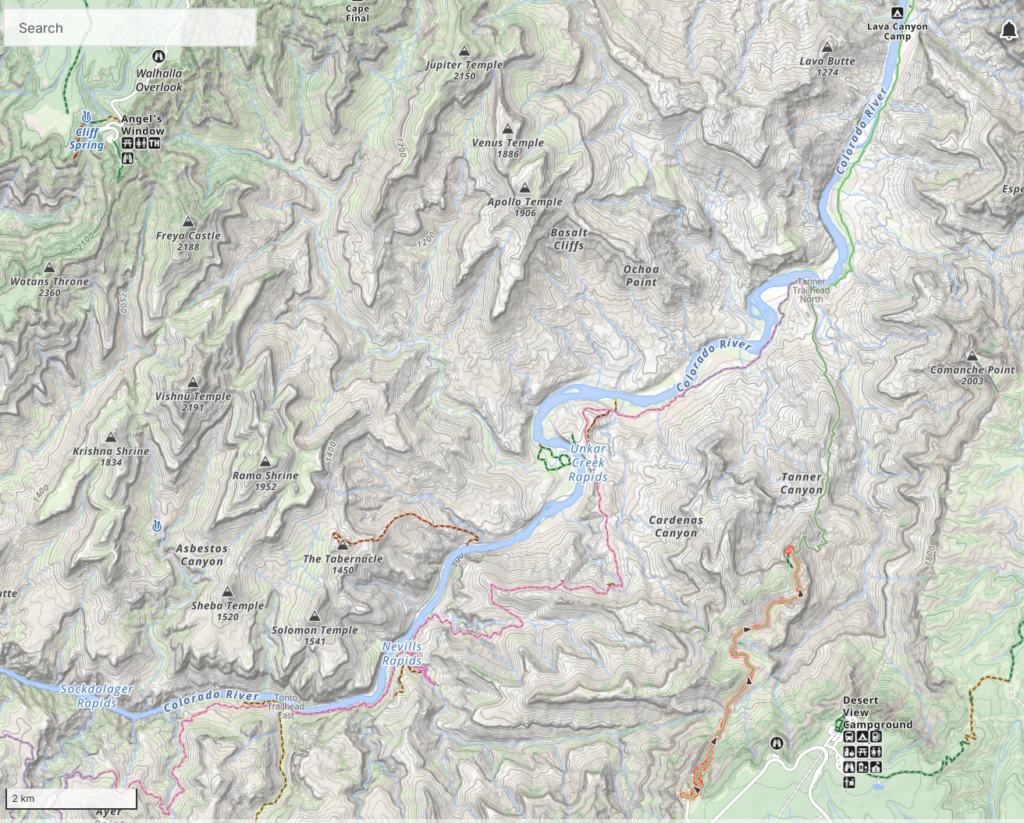
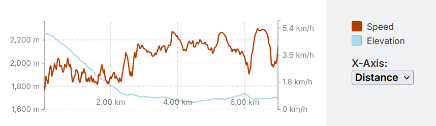
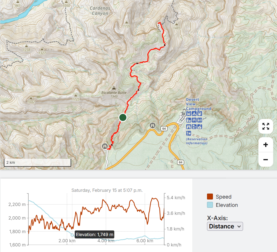
Day 1: February 15, 2025, Lipan Pt to Redwall Overlook, 6.4 km, 70 m ascent, 620 m descent, 2 hrs 30 min.
Before starting our hike we had to drive from Boulder City NV to the Grand Canyon. The itinerary in my head for the day was:
- Since we got to bed at 1 am, the plan was to get up at 8:00 am
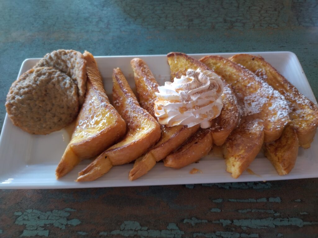
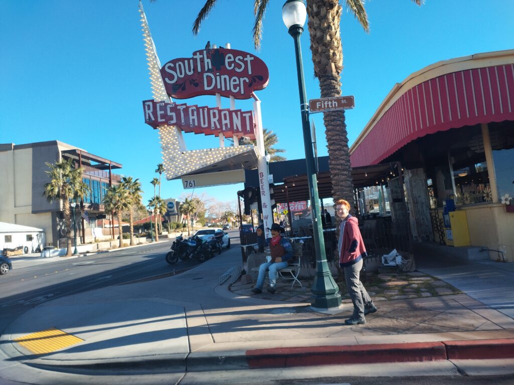
- Eat breakfast at the Southwest Diner
- Leave by 10 am
- 4 hours to the Grand Canyon with 30 minutes to purchase supplies
- 30 minutes to Lipan Point
- Arrive at 3pm
- Commence hiking by 3:15 pm
With sunset at around 6:15 pm this would give us plenty of time to hike the 6 km to our camp at the Redwall Overlook.
What I did not factor in was the 1 hour wait we had to get through the entrance gate to the park. It was President’s Weekend in the U.S.A. and the park was full of tourists for the long weekend.

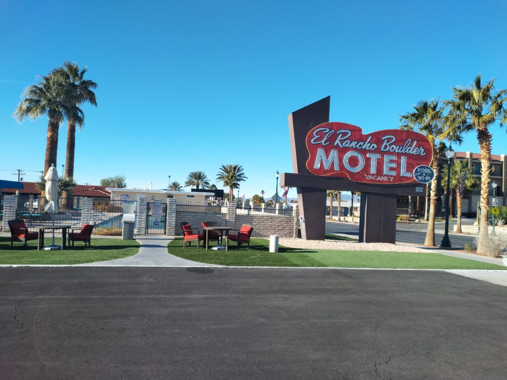
I really love the motel and diner in Boulder City, but I really prefer Phoenix as an access point to the Grand Canyon. I find Las Vegas to be busy and crowded. Which is ironic as Phoenix is a much larger metropolitan area. Phoenix also has more hiking options if plans change so is just a more flexible location. The drive from both places is about the same but unfortunately the flights are usually cheaper to Las Vegas.
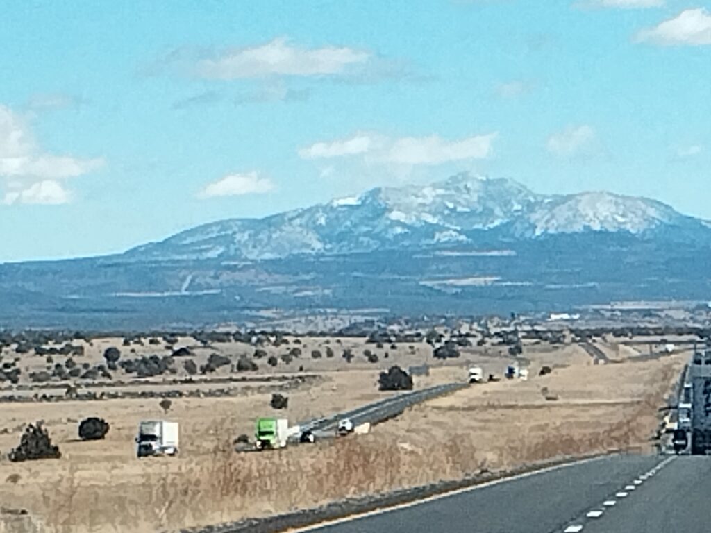
The drive to the Grand Canyon was uneventful. We made very good progress in excellent conditions. Stopping in Kingman, AZ worked very well. There was a Safeway on the south side of the highway and three blocks north of the highway there was a Big 5 Sporting Goods store. After loading up on groceries we then headed over to the Big 5 to purchase our fuel and pick up a new headlamp for Micah. We were quick and efficient and were back on the road in good time.
Years ago I came across a website, In the Playground of Giants, that had the best descriptions of the geology of the different trails in the Grand Canyon. I am lucky in that I copied the main page into a Word document as the website has been taken down. I contacted the geologist behind the website, Dr Ken Bevis Phd, of Hanover College in Indiana. Dr Bevis replied that he had taken the website down to refresh it. That was a number of years ago and the website homepage is still just a lander. In preparation for returning to the Grand Canyon I did reread my word document that I had copied from the website, all 98 pages. As we drove to the Canyon I had Micah read the last chapter of Wayne Ranney’s book that summarizes the current theories on how the Grand Canyon was formed. Luckily Micah enjoys learning because I feel the history of the Grand Canyon is fascinating and adds context and enjoyment to time spent in the canyon.
Since it is not currently available anywhere, here is a pdf of the pages from Dr Bevis’ website on the geology of the Grand Canyon.

I don’t remember exactly what time we arrived at Tusayan, the small town just outside Grand Canyon National Park, but I do remember feeling pretty smug about our timing and my planning. All that changed as we approached the gates to the national park and traffic slowed to a crawl then stopped completely. The lineup to the park gates was so long we could not even see the gates. I watched as the time slowly ticked by on the clock in the dash and all of our spare time evaporated before my eyes. In my mind, as long as we could on the trail by 4 pm we should be fine to do a 6 km hike before the sunset at 6:15 pm. Plus we did have head lamps and we could get set up in the dark if we had to. I remember the guy at the gates being very pleasant and I did joke that we were the first wave of Canadians coming to take over the U.S., in response to all the 51st state talk.
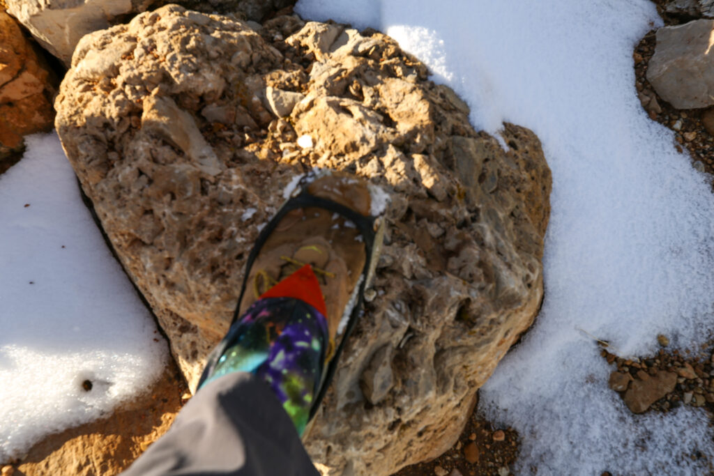
The road closure warnings from Friday amounted to nothing. The road to Lipan Pt was all clear. The day had been warm so there was a lot of melting, but there was a fair amount of snow off the sides of the road that did justify all the warnings from yesterday.
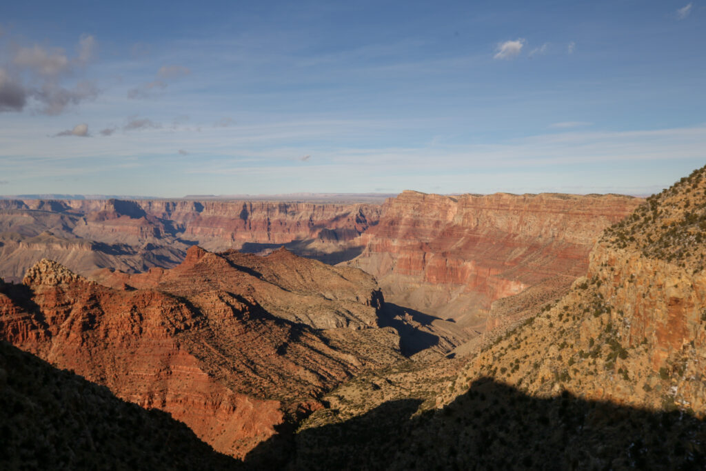
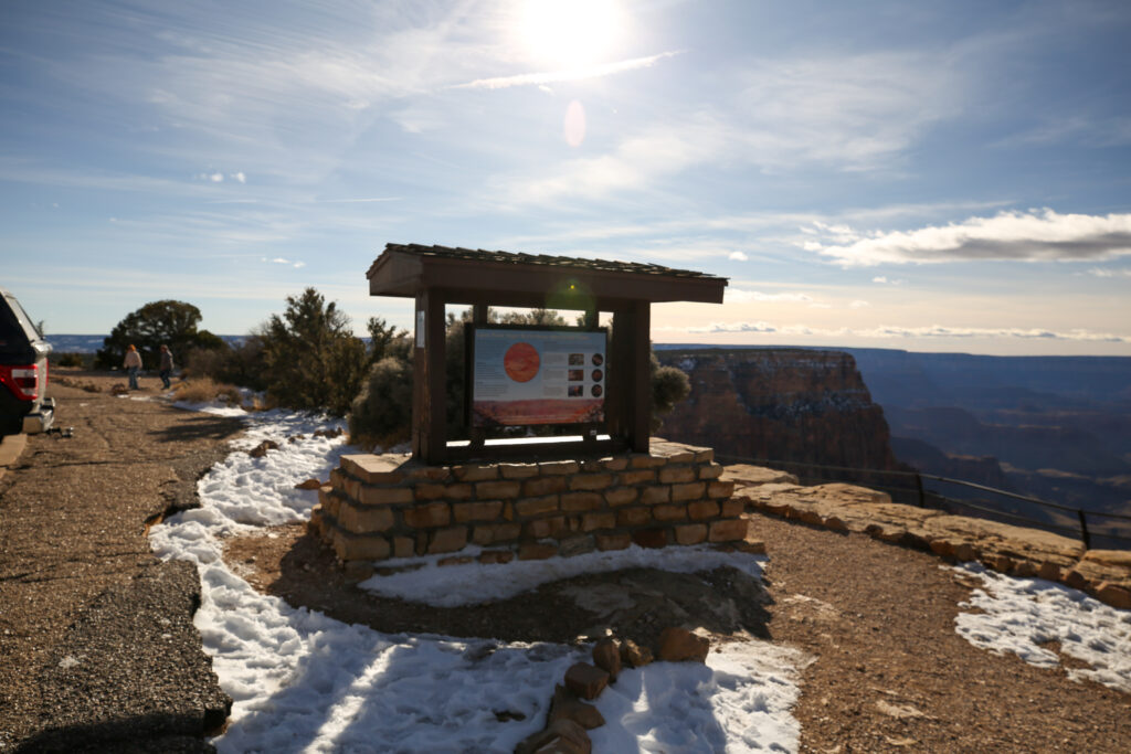
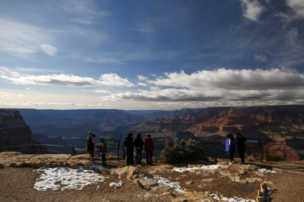
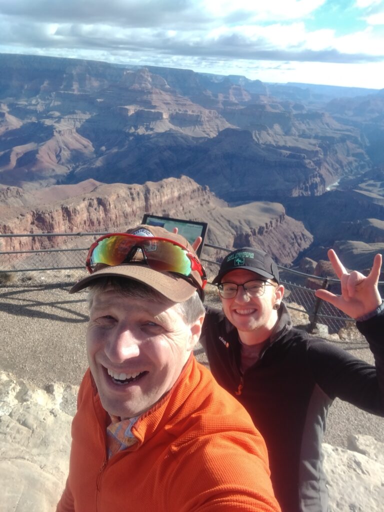
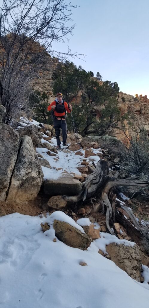
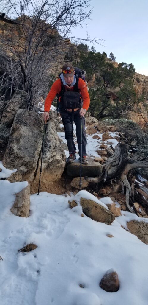
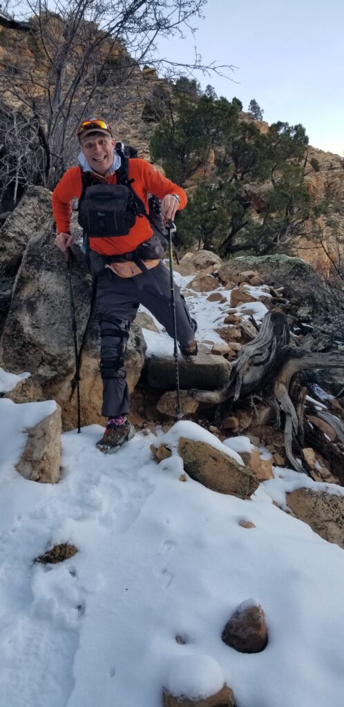
We rolled into Lipan Pt a little before 4 pm. With the huge lineup to get into the park, I was little concerned about whether there would be parking available at Lipan Pt or if we would have to wait until someone pulled out. Fortunately, Lipan Pt being a little out of the way means it does not seem to attract the attention that the other viewpoints near the village do. In the end there were plenty of parking spots available. We took the time to take a quick selfie with the canyon before getting busy with the hike. As we got our packs on a couple of day hikers arrived back at their car and wished us good luck on our hike.
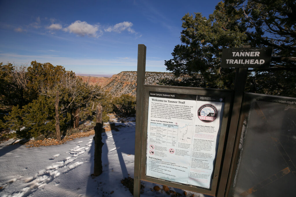
National Park Service description and history of the Tanner Trail:
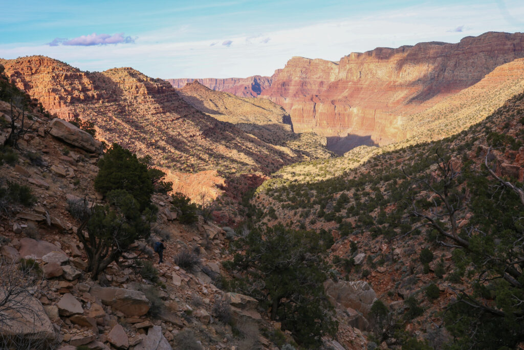
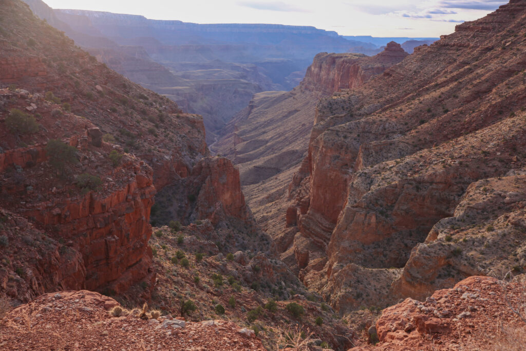
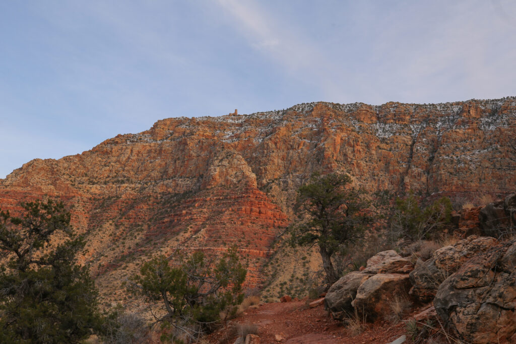
The lower reaches of the Grand Canyon below Desert View are dominated by a series of tilted layers of stone known as the Grand Canyon Supergroup. The Supergroup is a complex collection of ancient sedimentary and igneous rocks ranging in age from 800 million to 1.2 billion years, the oldest sedimentary deposits in the canyon. The colorful rocks are soft and easily eroded so the canyon floor is unusually expansive, offering unimpeded views of some of the steepest walls to be found below the rim.
In addition to being geologically noteworthy, the Tanner Trail is also historically significant. Native people used this natural rim-to-river route for several thousand years and the trail as we know it today has been in constant use since 1890 (when it was improved by Franklin French and Seth Tanner). The Tanner Trail allowed early miners access to their claims and was used as the southern component of the disreputable Horsethief Route. Wilderness seekers are only the latest humans to discover the charms of the area.
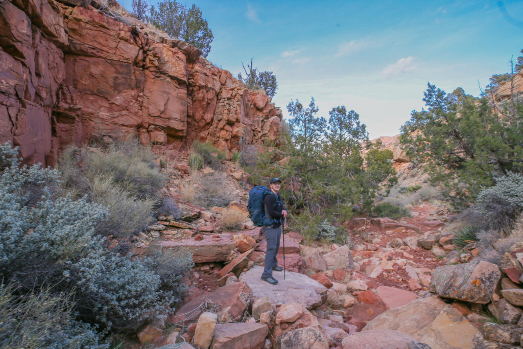
The historic Tanner Trail is the primary access by foot into the eastern Grand Canyon. The trail is unmaintained and ranks as one of the most difficult and demanding south side trails, but for an experienced canyon walker the aesthetic bounty of the area will be adequate compensation.
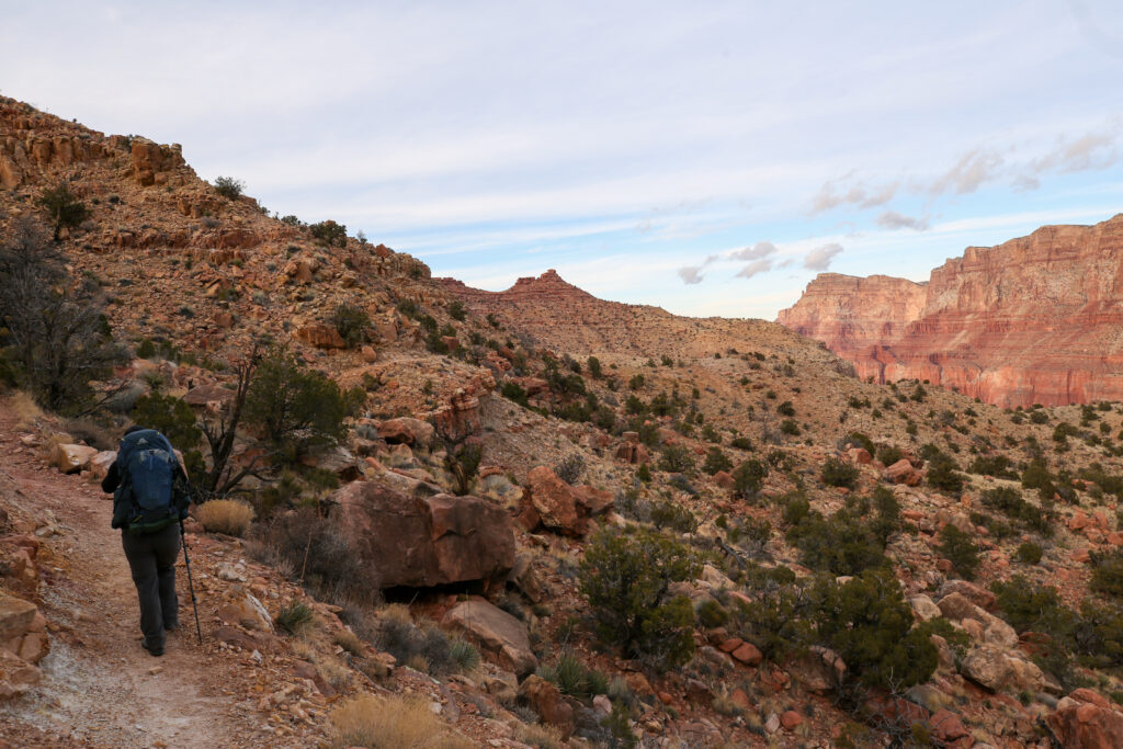
The trail zig zags through the upper Tanner Canyon dropping a stiff 520 m in just 1.5 km. For comparison our hike in the western grand canyon back in 2016 the Hermit Trail dropped 500 m over the first 3 km and the South Kaibab Trail is similar dropping 520 m in 3.2 km, making the Tanner Trail by far the steepest trail at the south rim. This becomes a very big deal when hiking back up to the rim at the end of your trip. So why the difference? The rock layers in the Grand Canyon are incredibly consistent but they are do change as you travel from west to east. The top layer at the South Rim in the Kaibab Limestone. Limestone is a hard cliff forming sedimentary rock. The underlying formation is in the Toroweap Formation. The ancient sea lay to the west. As the sea encroached the land eastward the shallow waters were muddy and the deposits formed soft slope-forming shales. These slope-forming shales, mixed in with some sandstone, comprise the second rock layer for both the South Kaibab and Hermit Trails. The ancient sea had a limit to its eastern transgression and the land that was not covered by the sea was a near-beach environment, and thus dominated by sandstone. Sandstone is a hard sedimentary rock and forms cliffs. In the Tanner Canyon the cliff forming sandstones of the Toroweap formation form the second layer. The underlying formation, the third rock layer in the Grand Canyon, is the Cococino Sandstone with forms cliffs with lovely crossbedding. So to compare: the western part of the South Rim has a cliff/slope/cliff arrangement of rock layers, while the Tanner Trail presents the intrepid hiker with cliff/cliff/cliff. This makes for a steeper initial descent into the Tanner Canyon.
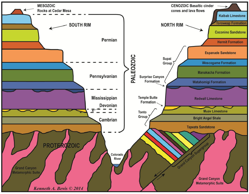
The Palezoic rocks of the Grand Canyon were laid during during the formation and break up of the super continent Pangea, 515 million to 250 million years ago. The Grand Canyon Supergroup rock was deposited during the formation and break up of the super continent Rodinia between 1200 million and 800 million years ago.
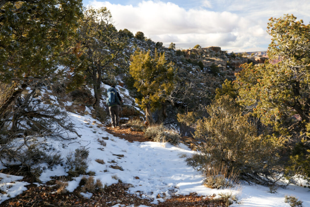
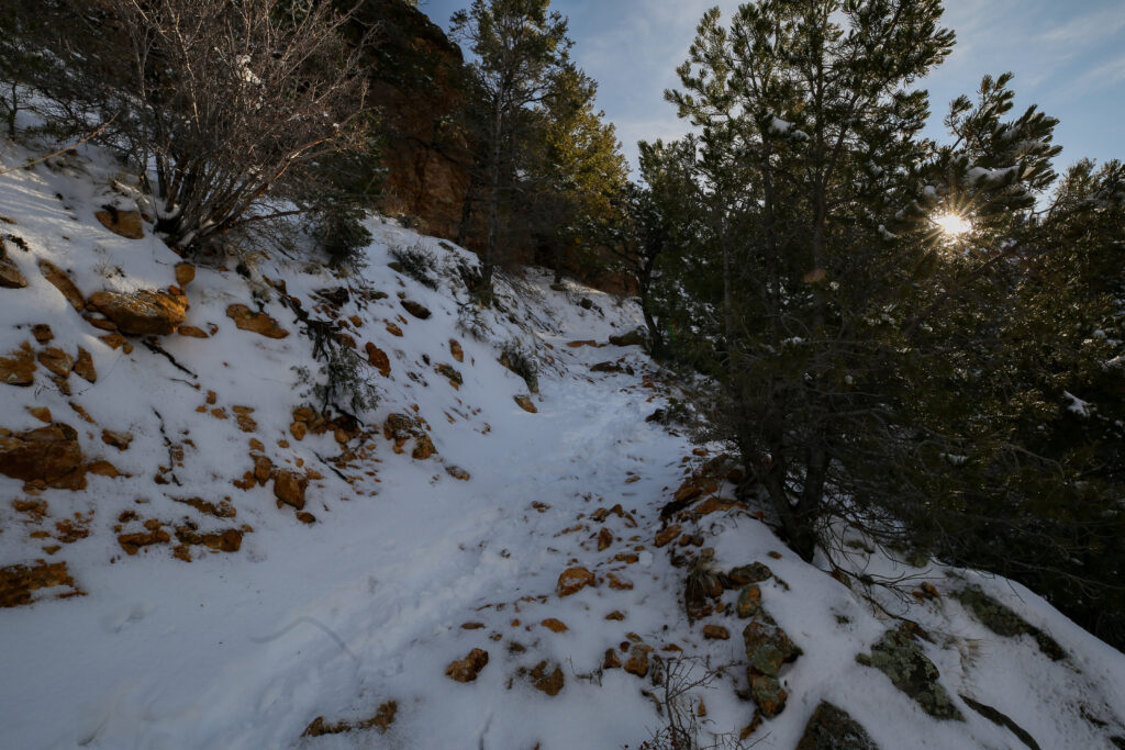
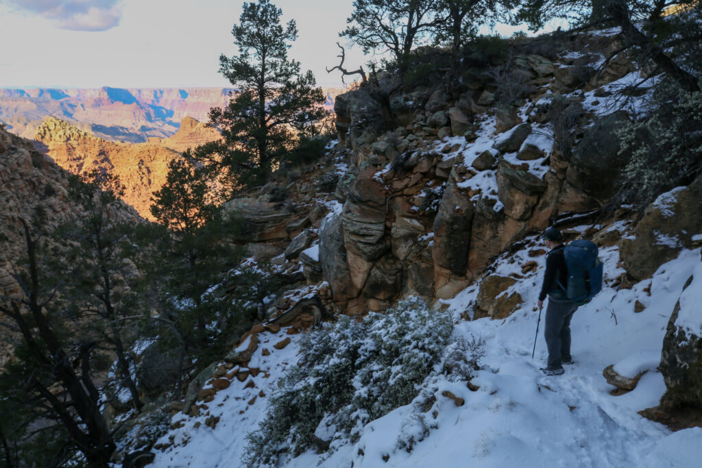
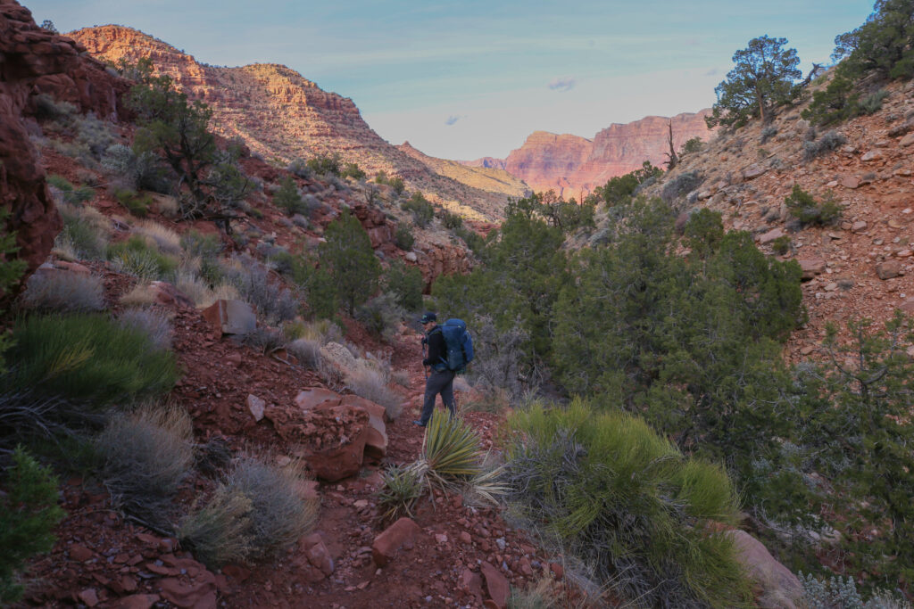
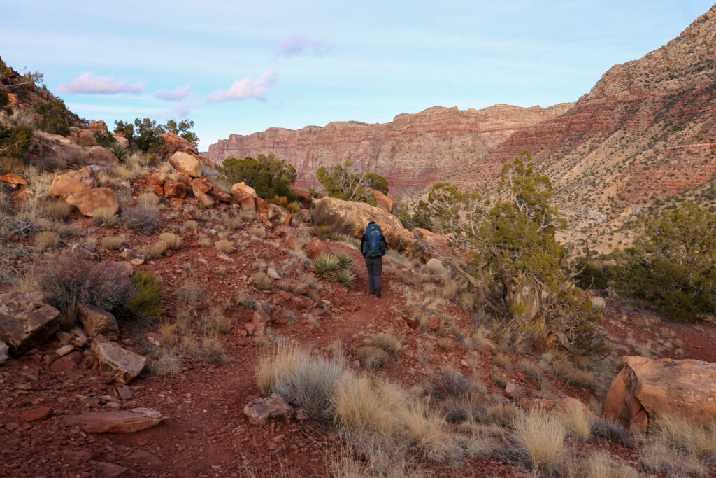
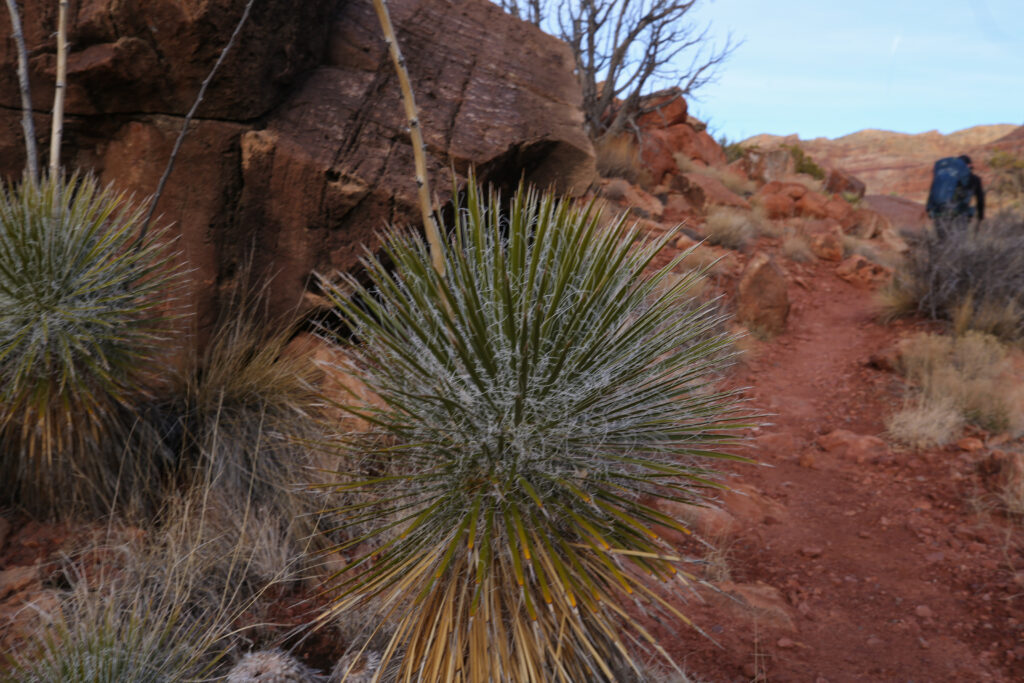
The upper reaches of the Tanner Canyon has the look and feel of small forest as the trail passes through the first few switchbacks. The steepness of the canyon produces a micro climate that cools the afternoon heat in the summer providing a more favaourable growing conditions for the trees.
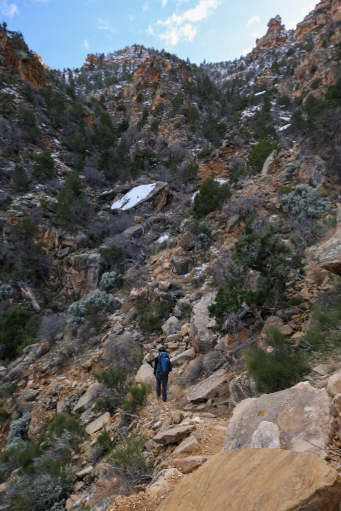

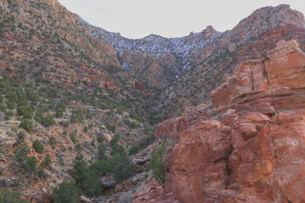
Another geological tidbit. Seventy Five Mile Canyon is the steeper canyon where it meets the Tanner Canyon. Seventy Five Mile Canyon will eventually erode into Tanner Canyon, diverting the water flow from the upper Tanner Canyon down into Seventy Five Mile Canyon. This is known as stream capture and will seriously decrease the water flow in the lower Tanner Canyon.
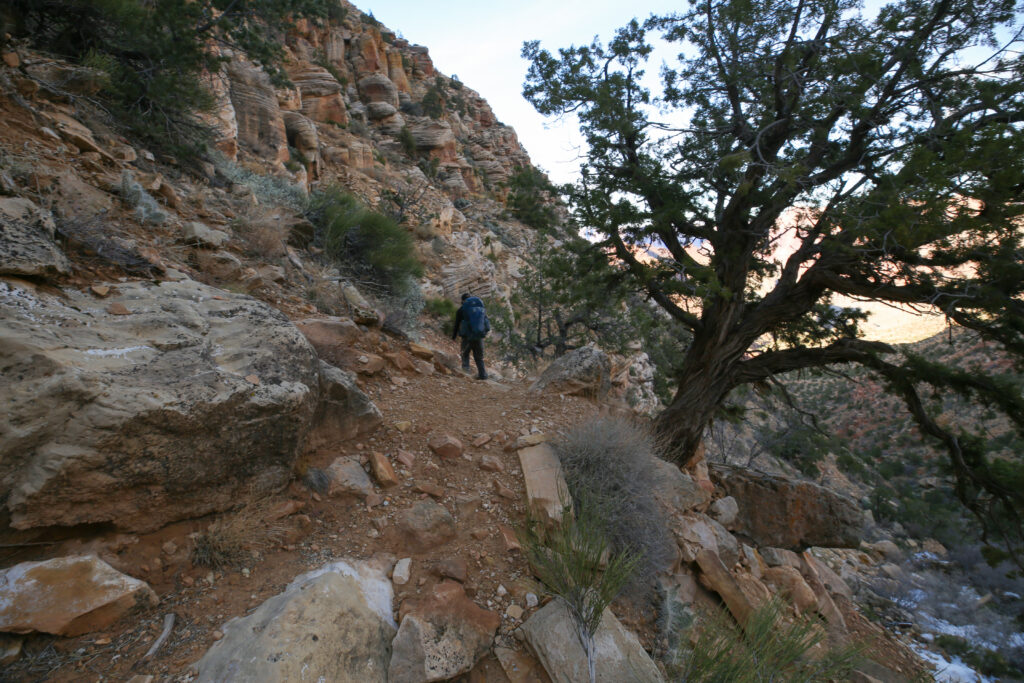
Once past Seventy Five Mile Canyon the trail switches to traveling on more slope-forming layers of the Grand Canyon, namely the Supai Group. The hiking was much faster on pretty decent trail as we followed what is known as the Supai Traverse. The traverse follows the top of the Redwall Limestone. The trail follows the cliff until coming to a natural fracture in the Redwall Limestone that will allow us to descend the steep limestone cliffs on kinda-ok trail, but that comes tomorrow. Today we will continue a few hundred metres past the fracture to camp at the Redwall Overlook.
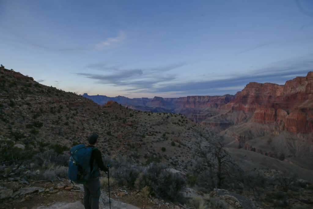
We were really pouring on the speed as the darkness settled on the trail. We did stop to put our headlamps on, but otherwise Micah led the way even though they had never been on this trail before. I started keeping a mental note of the time and different places we could throw down the tent. Micah, though, seemed intent on making it to our destination. We hiked up a small rise and suddenly we came to a wide flat area that was obviously a campsite. Checking my phone, I saw we had arrived. It was also pretty obvious on closer inspection that we were at the Redwall Overlook as we had cliffs on three sides. It was a little after 6:15 pm and time to put up the tent.
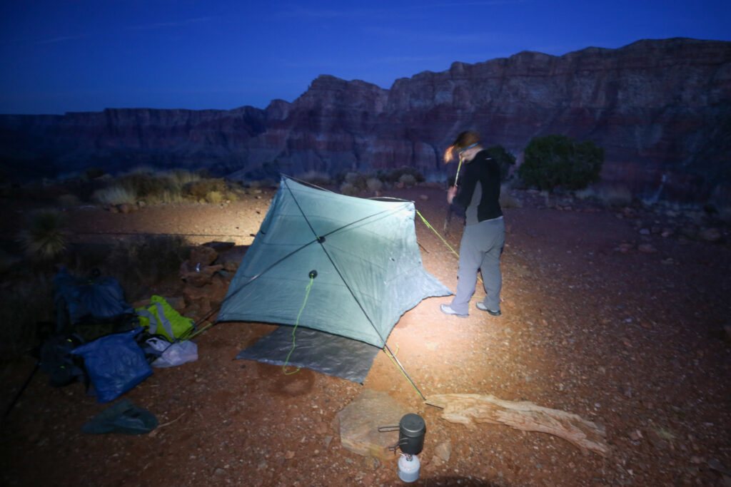
Micah and I have done numerous long distance hikes together and setting up camp in the dark was pretty seamless. Not unexpectedly, the temperature really dropped as the sun set below the horizon and the puffy jackets normally required for near freezing temperatures came on. We were prepared for the low temperatures because it was always the plan to camp higher up. Once at river level I was expecting the evening temperatures to be much milder.
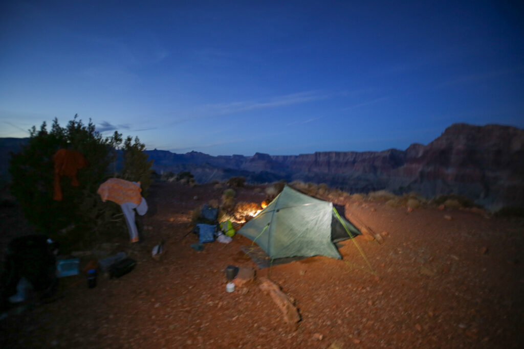
With it being pitch black by 7 pm after dinner we headed straight to bed. It may have been a little early but we both had reading material, I had an eReader, and it had been a long couple of days.
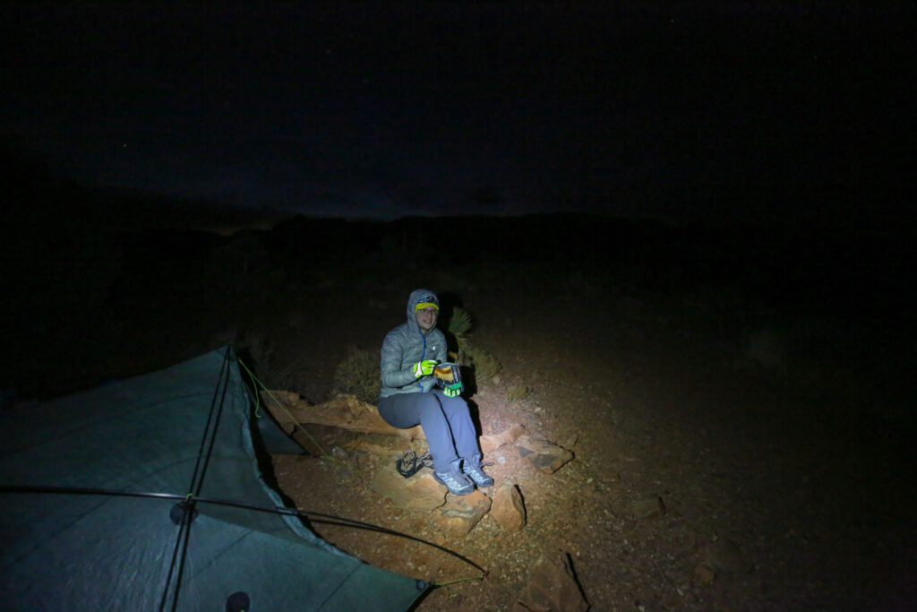
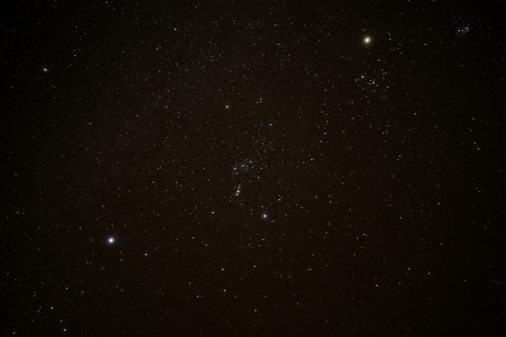
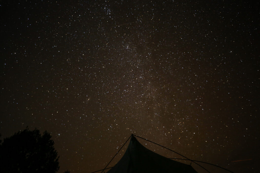
Just before going to sleep, I headed outside at 8:30 pm to get some night photos of the starry sky.
End of long and successful first day on our quest to reach the confluence. The plan for day 2 was to hike to Tanner Rapids and then onto the Beamer Trail to camp at Palisades Creek.