Wild Camp on Ridge (-111.13407, 33.19439) to Wild Camp Slopes of Picketpost Mt (-111.16689, 33.26252) , 17.3 km, 778 m Elevation Gain, 1040 m Elevation Loss, 7 hrs 5 min, Passage 17.
Woke up at 7:15 am and left the tent at 7:30 am and for the second day in a row was greeted by a spectacular sunrise.
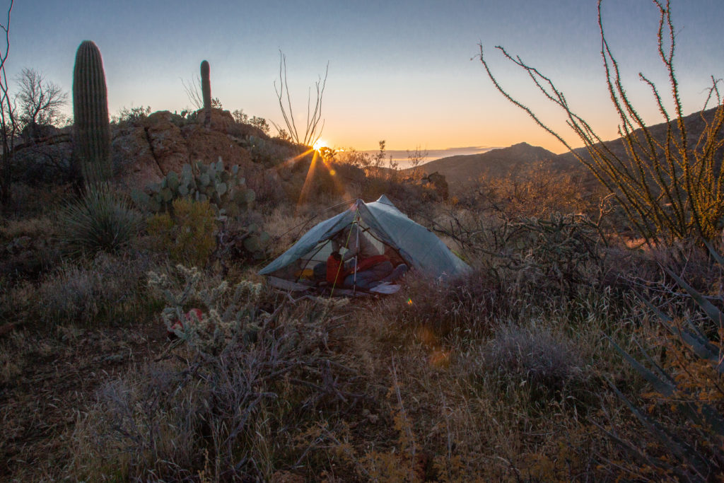
I spent the first few minutes taking in the morning scenery. The suns shining golden on the slopes and long shadows hiding the valleys. While I took in the surroundings and snapped photos Micah was busy packing up the tent. I did my part for the morning routine and boiled water for our coffee and retrieved our ration of Logan Bread for our breakfast. We have just about 110 g of Logan Bread for breakfast and it satisfies us for a good couple of hours before needing to snack.

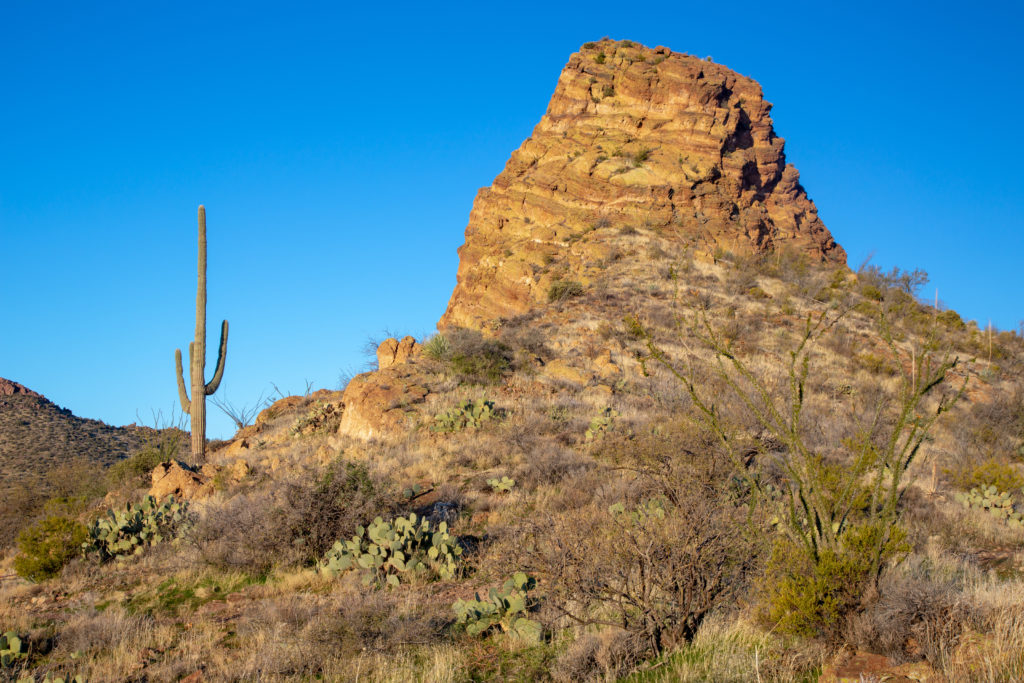
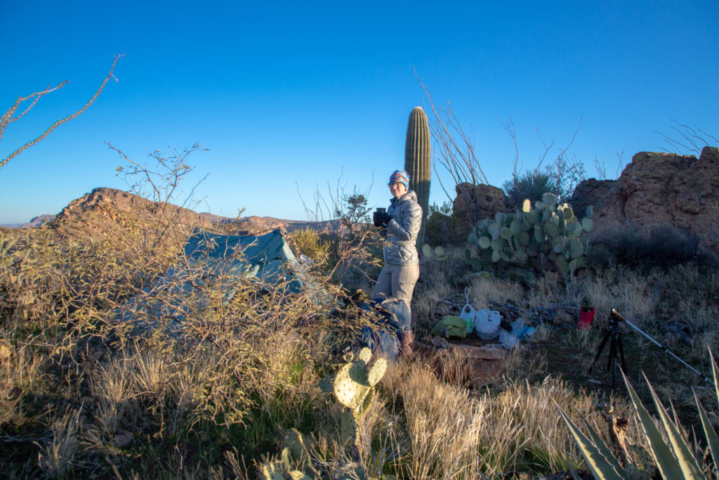
We get packed up and leave the campsite in under an hour. It is not a blistering pace but the initial part of the day is the easiest section of our trip. We will steadily loose 390 m of elevation over the next 15 km with only brief small uphill sections. Once we arrive at the base of Picketpost Mt the real fun begins as our plan was to hike 6 km and 595 m of elevation to our planned campsite on the top.
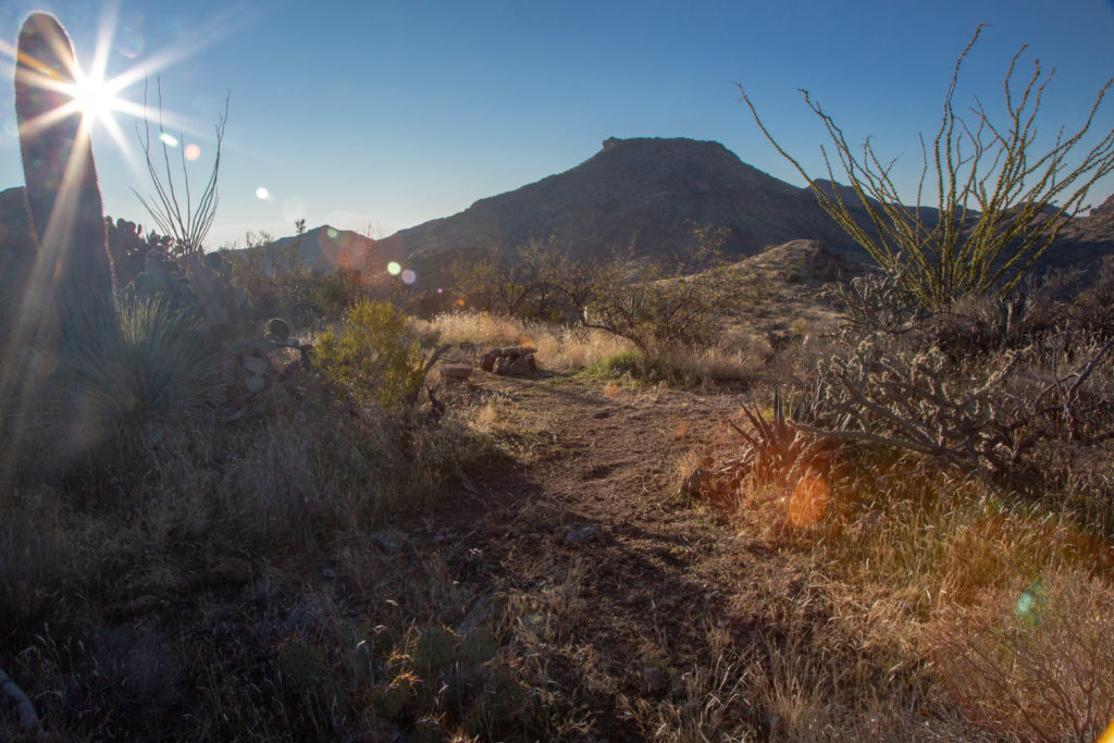
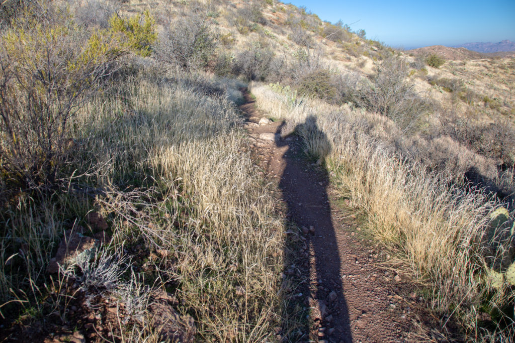
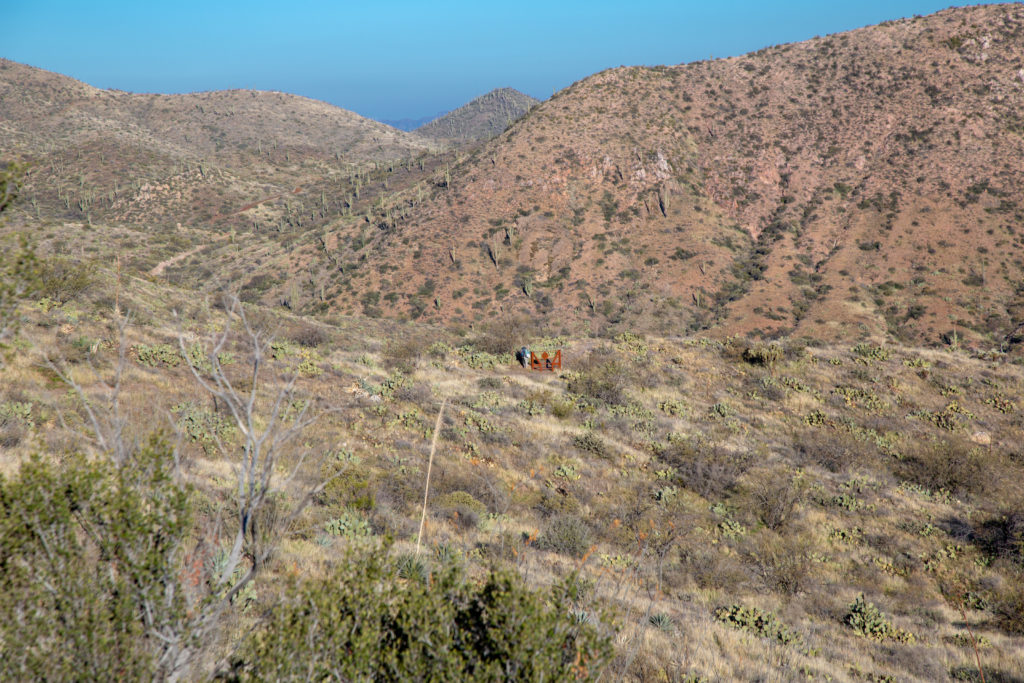
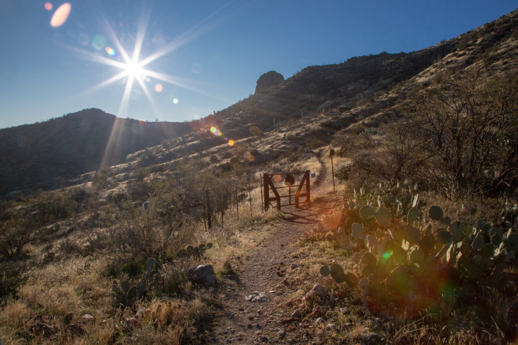
Our route today was a gentle downhill stroll with one 40 m incline about at about the 4.5 km mark. Until we arrived at the junction for the summit trail for Picketpost Mt.
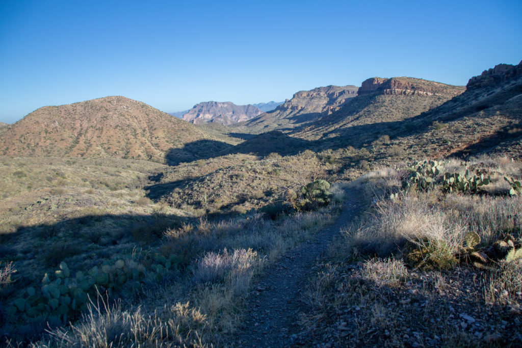
We hiked apart for the first part of the hike before Micah waited for me and we walked together for the rest of the day. We chat about everything as we hike. Current world events, current events in our lives, deep topics like the significance of quantum particles and lighter topics like favourite books or movies. The conversation just flows naturally as we hike. We are both somewhat easily distracted which can change the direction of a conversation quickly.

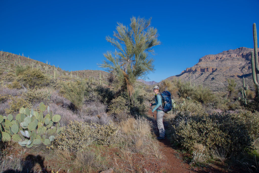


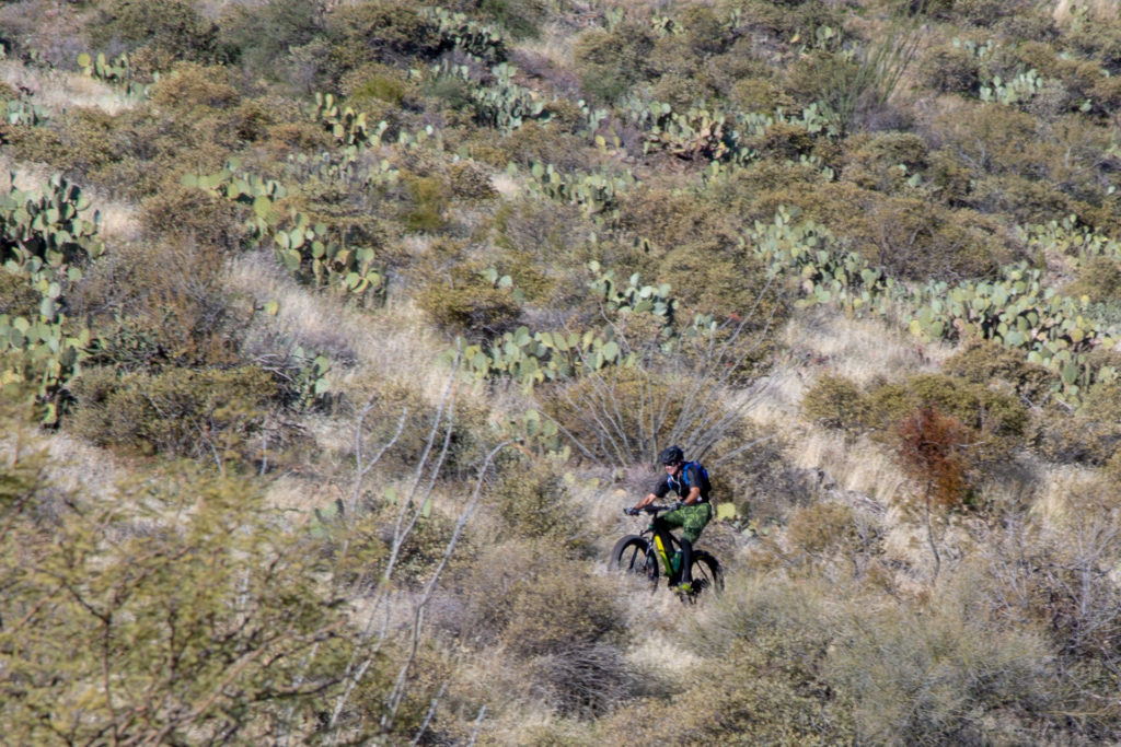
The trail moved in and out of small side drainages all the while losing elevation at a steady rate. At 10:30 am we cam across our first human on the trail. A fat tire mountain biker. It had been about 46 hours since we had seen anyone. We stopped and chatted for a few minutes, nice guy. We saw him again later as he returned to his car.
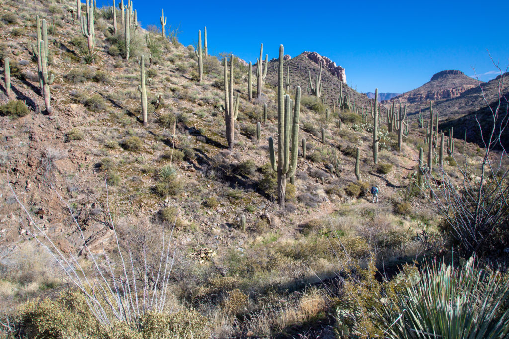
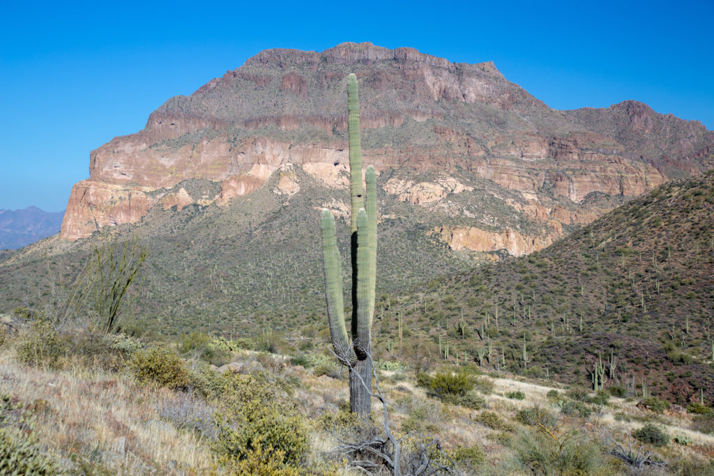
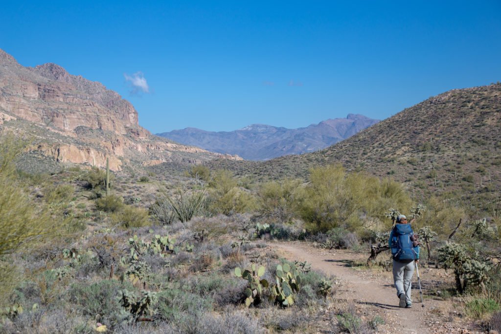
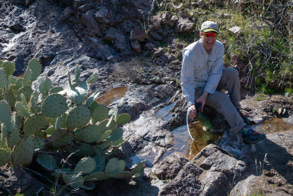
We continued to get closer to Picketpost Mt. We would work around the mountain to the left west (west) to find our trail up to the summit. We came across a small stream. The trail followed the stream for a short while. So we checked out the stream and the water appeared to be clean and free of silt so we decided to filter some water to top up our supply. Even though we felt like we were getting close to heading up. It would be another 4.2 km before we arrived at our junction.
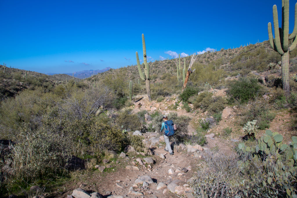
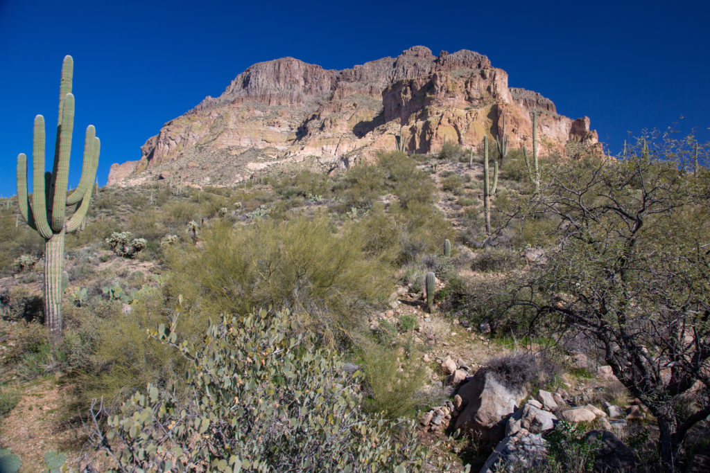
You could tell that there was more moisture in the ground as the variety of plant life had increased dramatically.
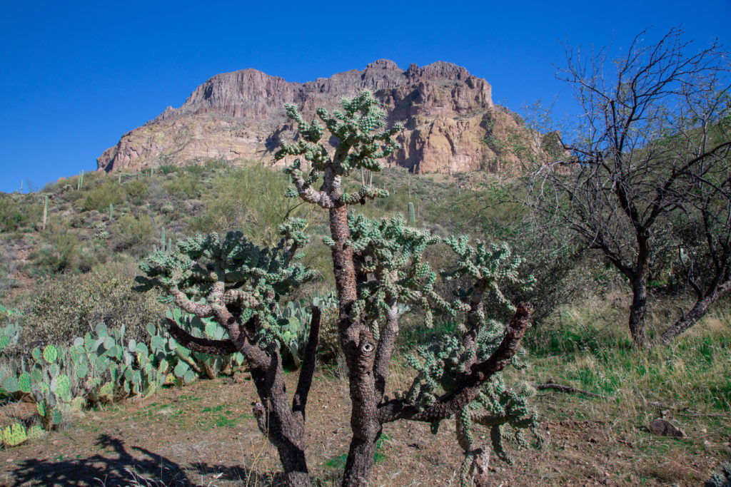
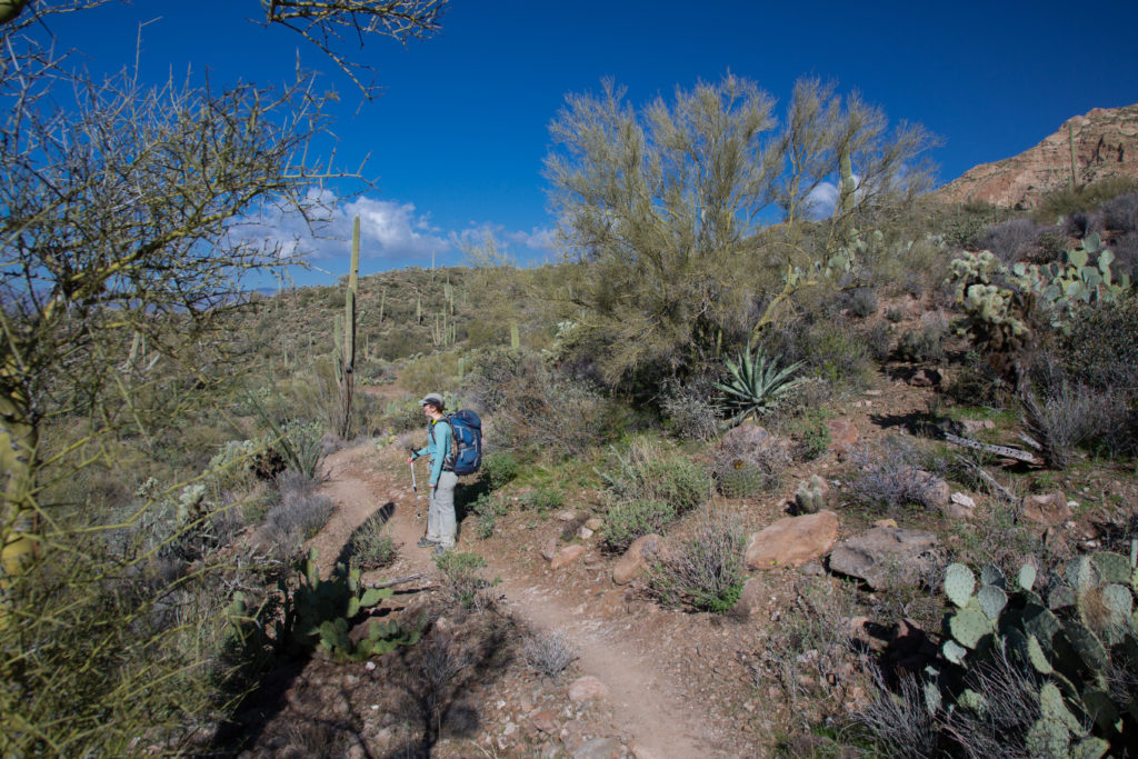

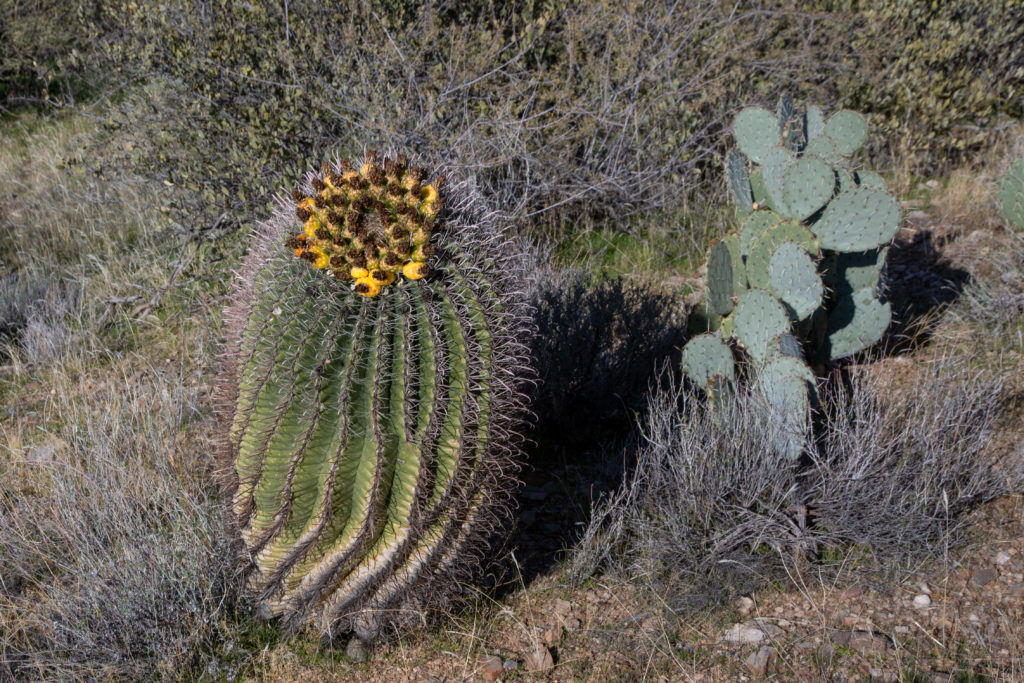
After 5 hrs and 10 min and 15 km we arrived at the junction for the trail to the summit of Picketpost Mt. We stopped for a short break to drink up and have snacks for what we thought would be the most demanding part of the trip.
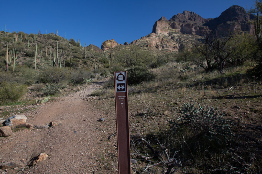
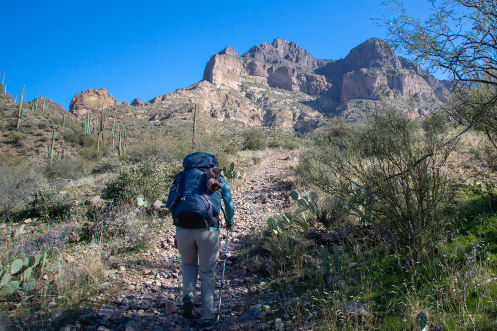
We had only hiked for 6 or 7 minutes when we met up with two older hikers coming down. The asked where we were from and after we said Canmore, Alberta , they proceeded to pull our legs for a bit. They listed off all sorts of small Alberta towns, making themselves sound like they knew Alberta but not completely. They finally admitted that they were from the Calgary area and of course knew exactly where we lived. They put a seed of doubt in my mind when they said that getting to the summit required going up a chimney that for the first time in their memory had water flowing down it. I have done lots of scrambling in the past but not a lot recently. I was not very excited about working my way up a wet chimney with a backpacking pack on then having to come down again tomorrow. I am quite sure Micah knew I was not thrilled at the news of chimney and some scrambling but they did not let on. After about 8 minutes chatting we said our goodbyes and headed up the hill. The thoughts of the upcoming chimney running amok inside my head.
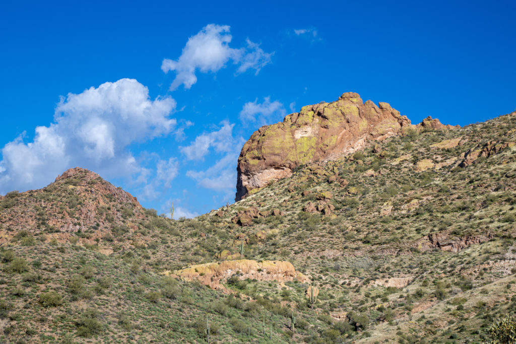
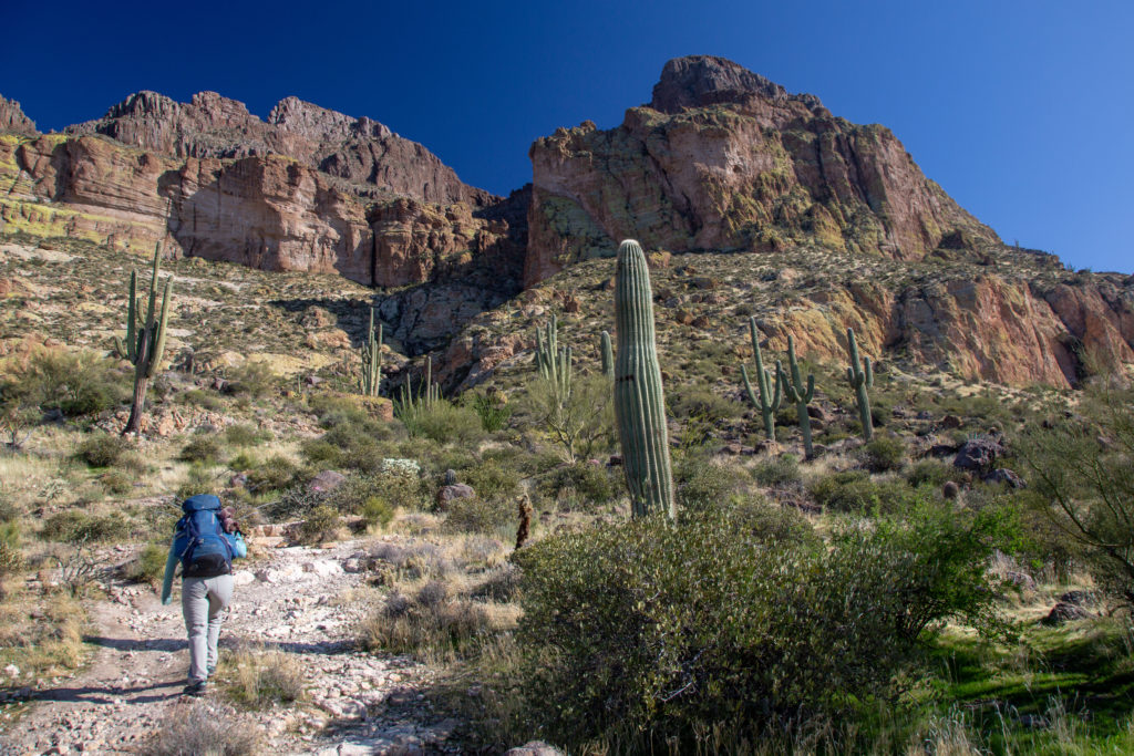
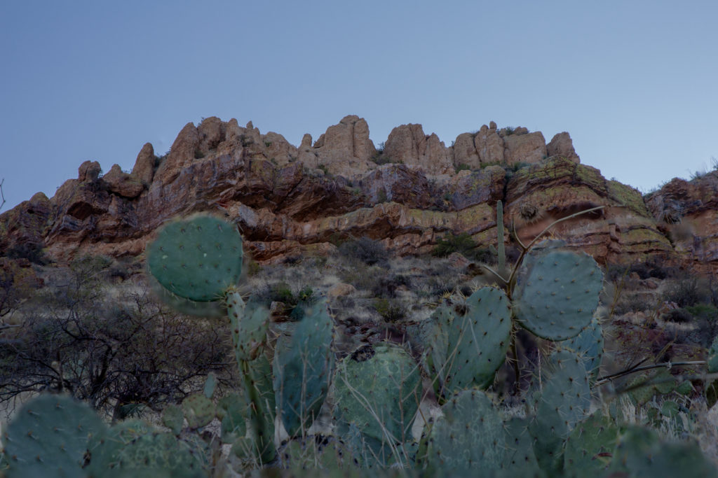
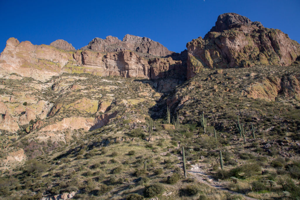
The trail was wide and took us through a couple of switchbacks. Then we hit the steep slopes of the mountain and the trail went straight up and we were faced frequently with several choices as previous hikers had looked for different ways around the different obstacles.
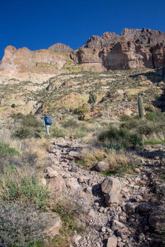
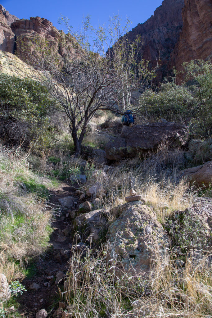
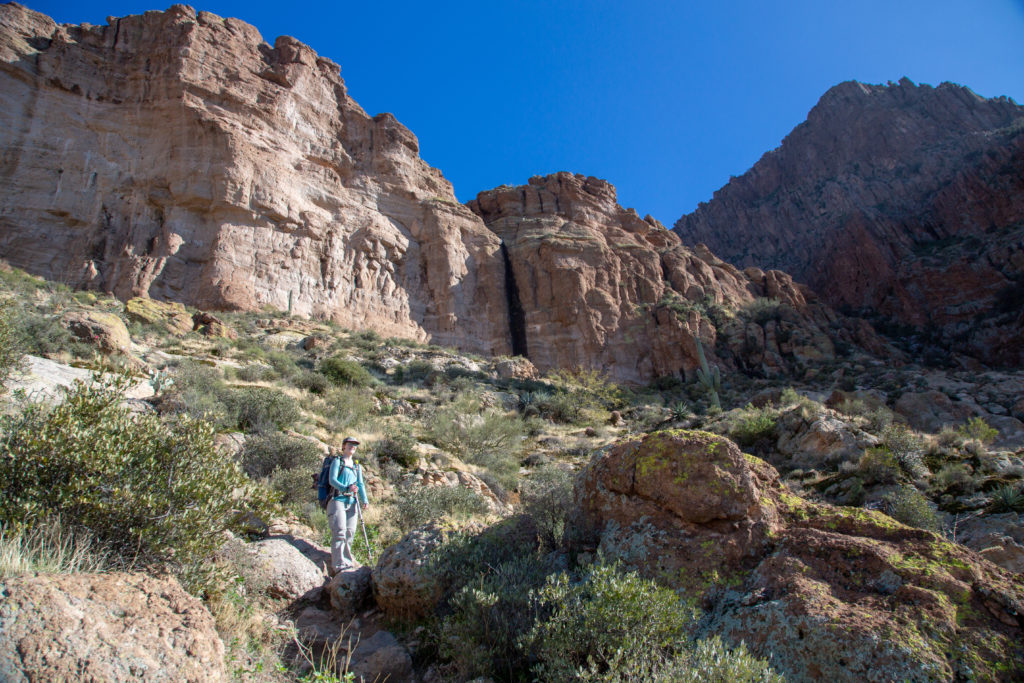
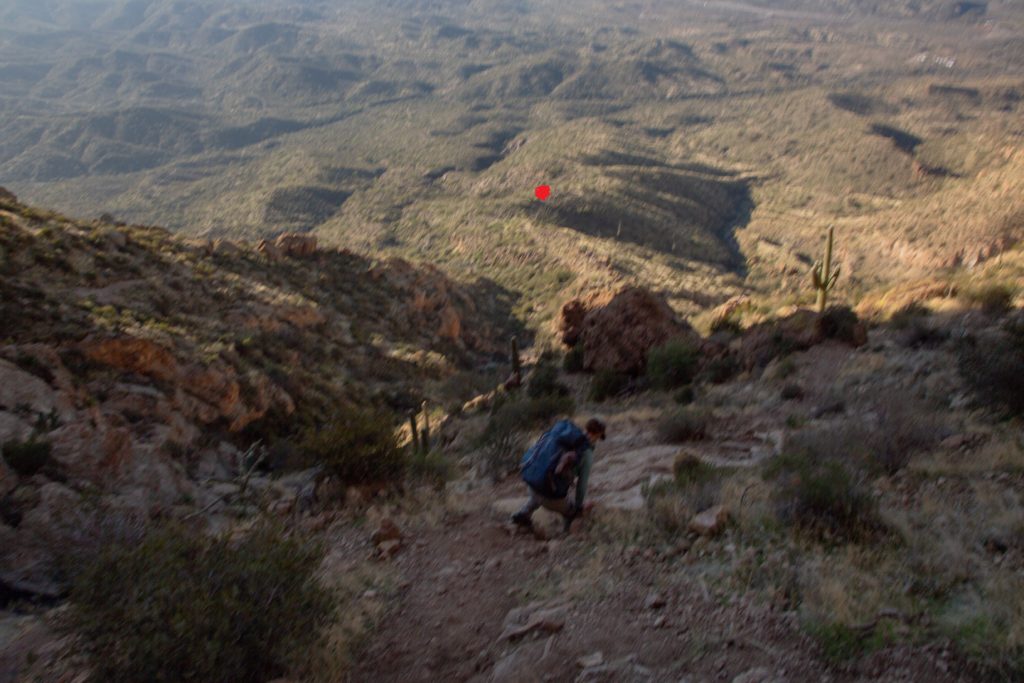
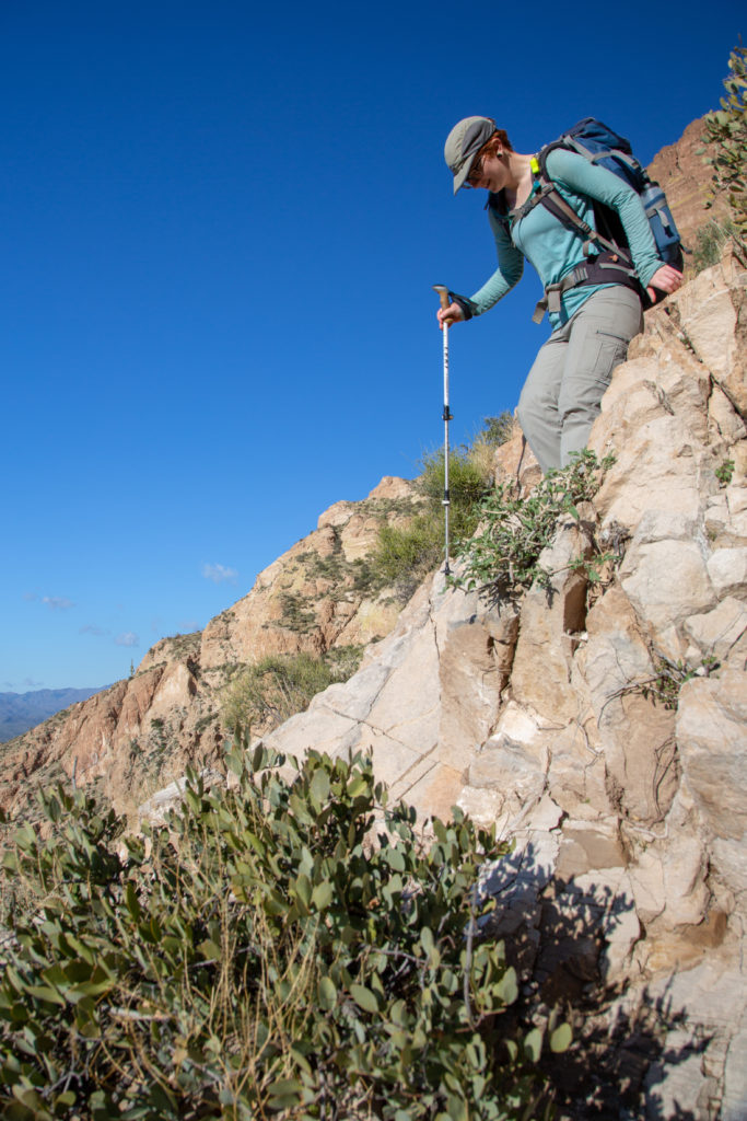
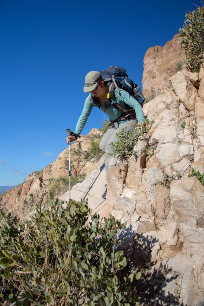
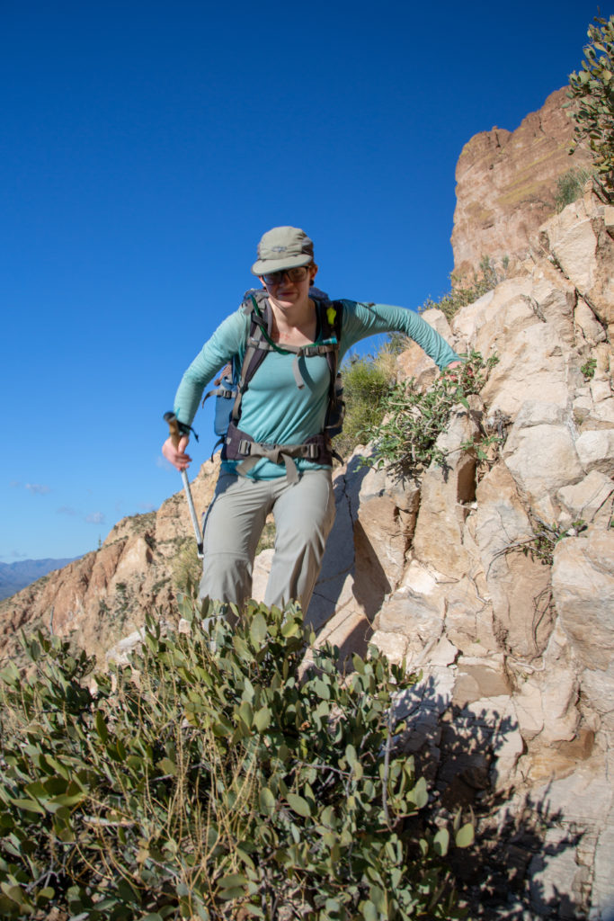
The trail was poorly defined and very steep. The dirt sections of the trail was very gravely and slippy. Hiking poles were a must and I still slipped frequently. As we approached the cliff face Micah let me know that they did not want to continue up any further. A combination of the steepness, pack weight, lack of traction and a wet chimney had convinced Micah that it was not worth it to continue to the top. I was totally fine with the decision as I had already decided that I was going to say no to the chimney. We went a little higher and found a place to sit to enjoy a snack and the view that we had earned before heading down.


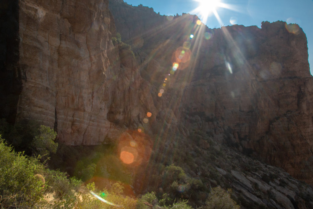

The average incline of the climb was 250 m/km, which is very steep. The last section actually rose 104 m in just 150 m of distance or 693 m/km! Micah’s hiking shoes being worn out did not help them on the way down. We both relied heavily on our hiking poles to prevent from slipping. We worked our way steadily down until we came to where there was just the one main trail.
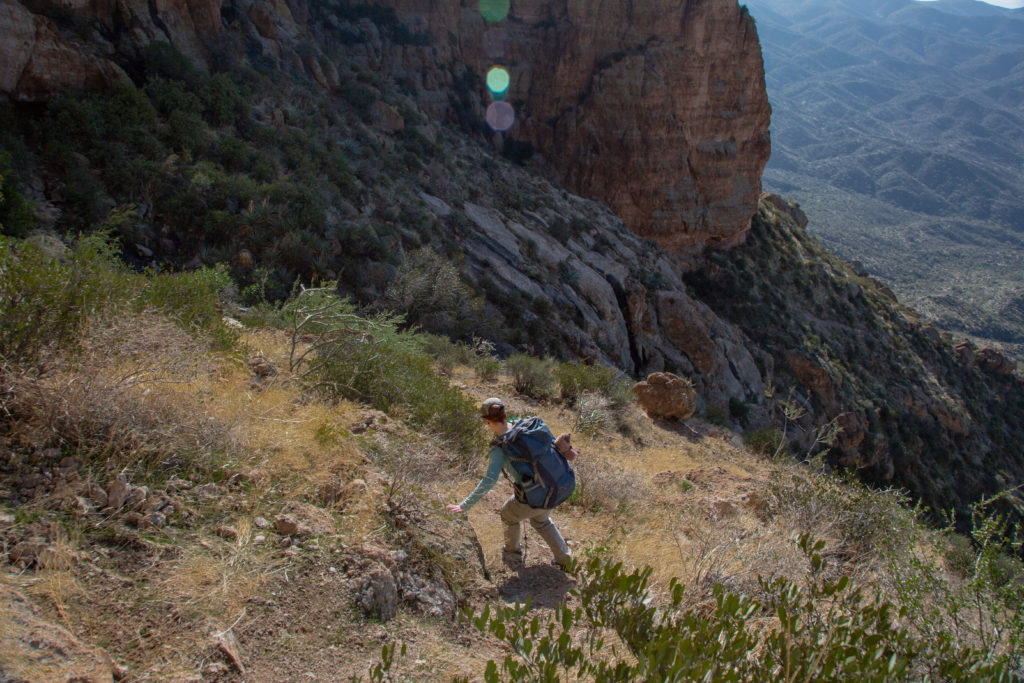
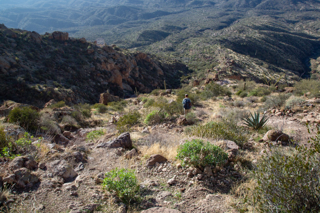
Even though we could see the car we had decided that we wanted to camp another night. We kept a look out for potential campsites and again climbing a little ridge found a great flat spot with a view of both Picketpost Mt and the valley below.

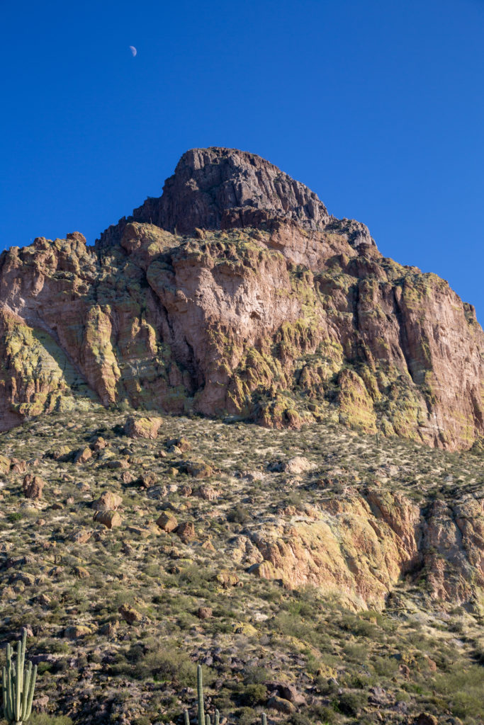
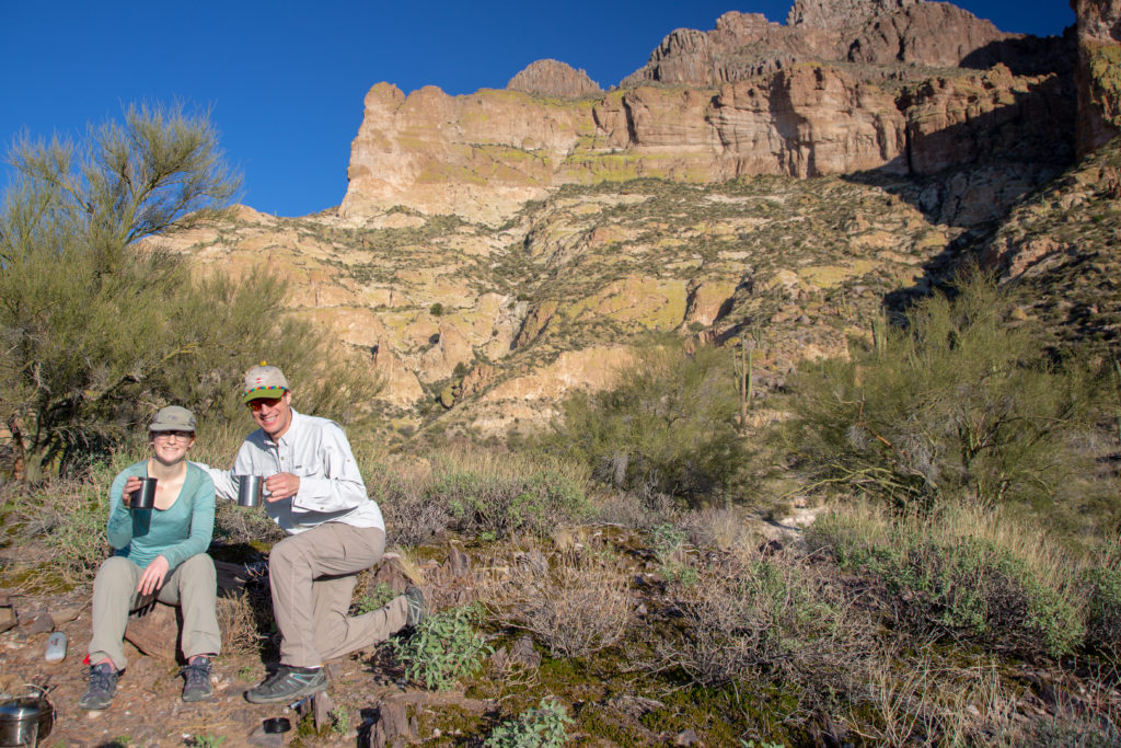
We finished our hike at 3:30 pm, pretty early for us. Since we were almost completed Passages 16 and 17 we decided to celebrate our trip with an afternoon coffee 🙂
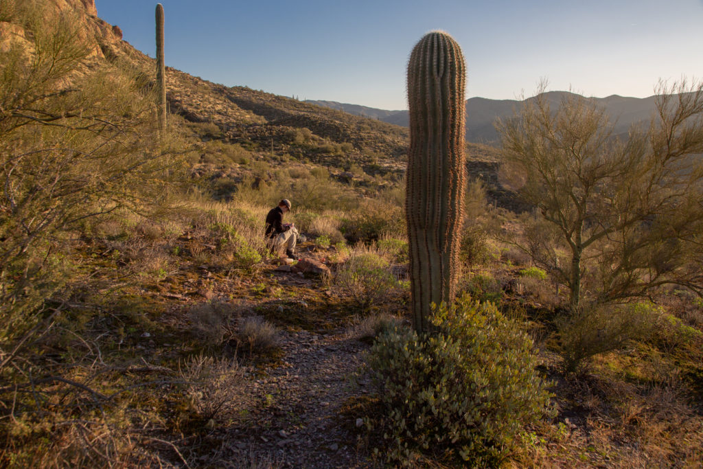
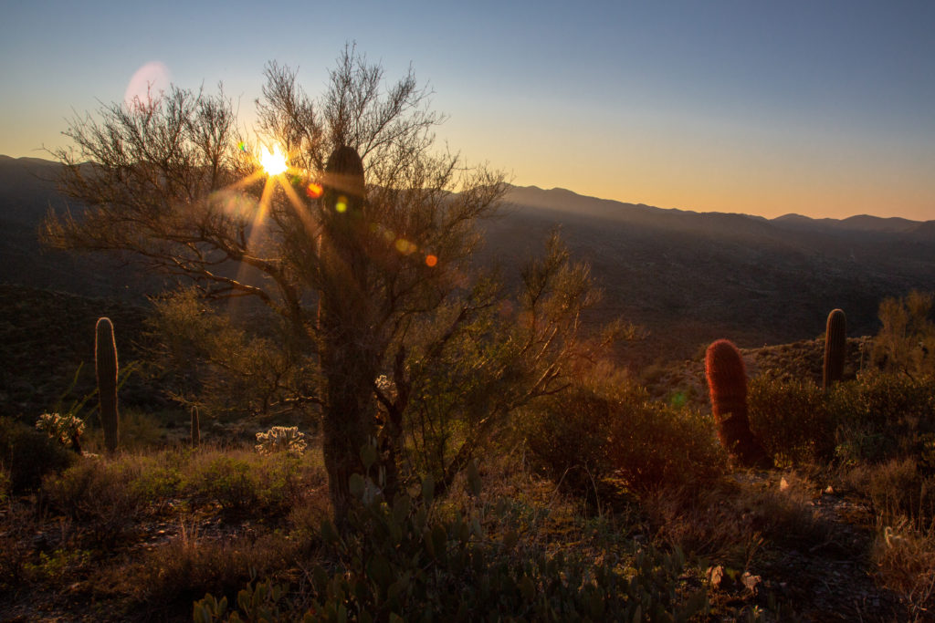
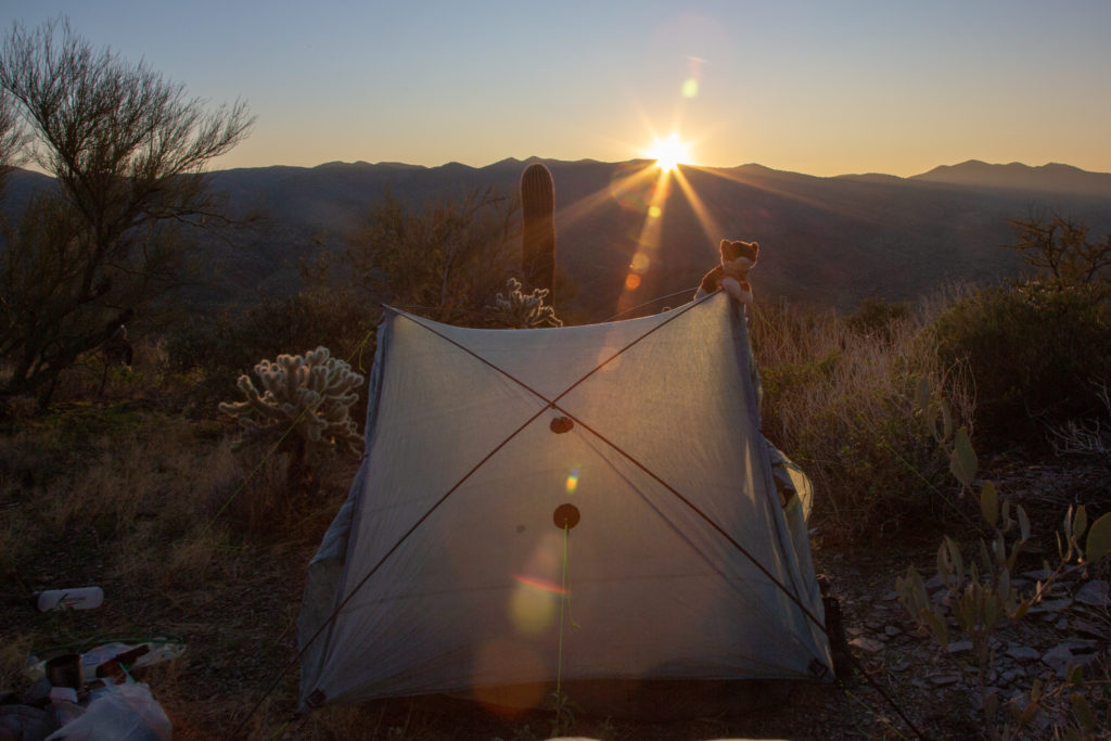
We were in no rush to make dinner. So I set up the tent and took photos of the scenery and the setting sun. Micah took some time to herself to journal in their notebook.
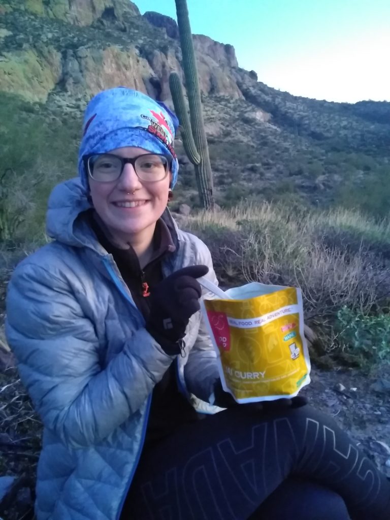

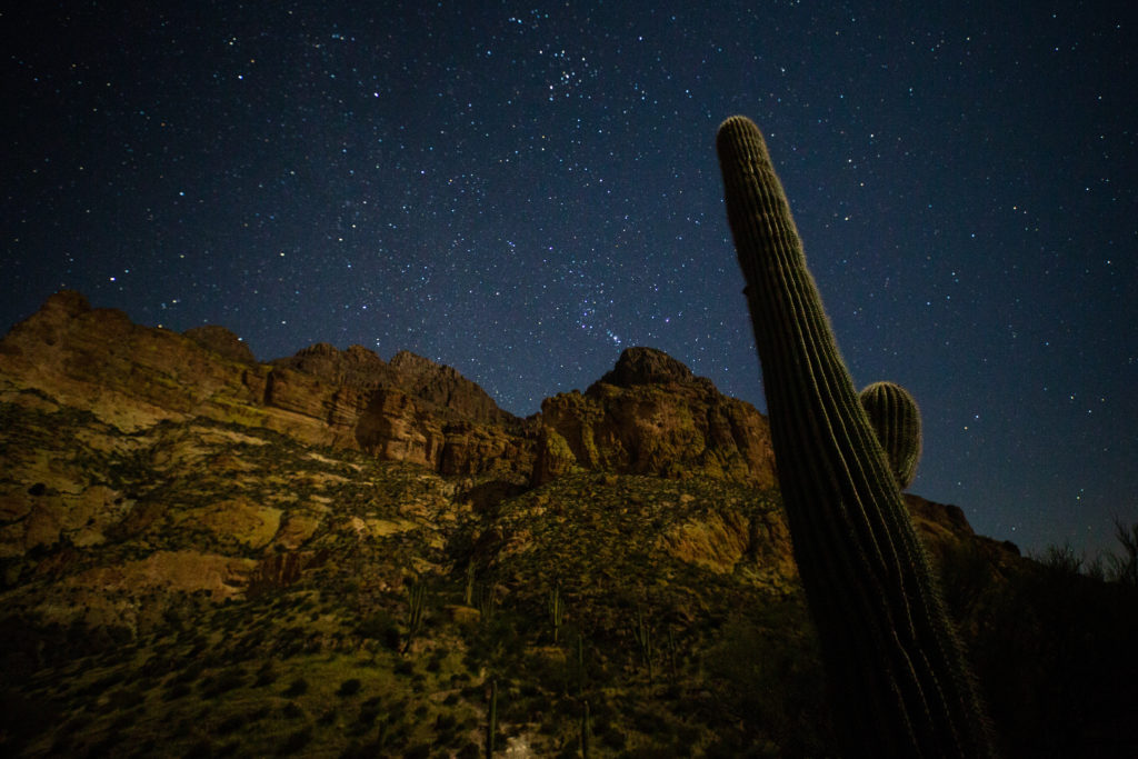
We continued to read our book by Chris Townsend. Usually I do all the reading but this night we took turns. We read for about 90 minutes before calling it a night. I got up at 3 am to take pictures again. Somehow wherever I am I a can find Orion.
