Day 3 Molar-Pipestone-Dolomite Circuit – Group Hike 2024 Banff NP Part 1
Rain, cold and redemption.
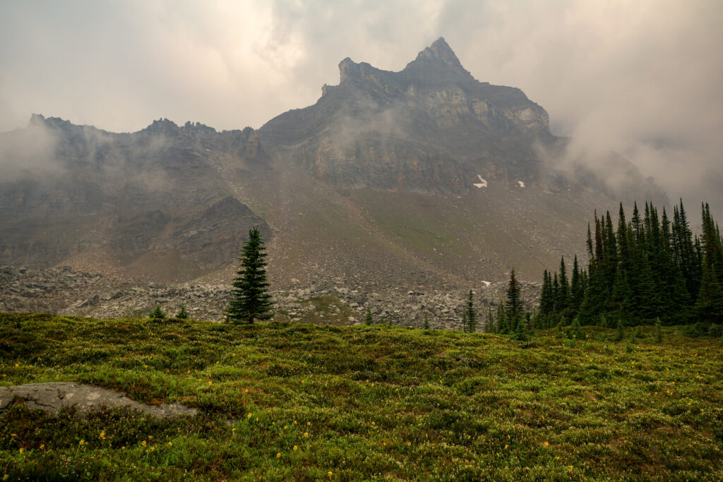
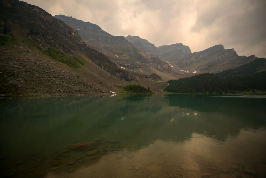
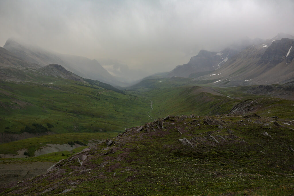
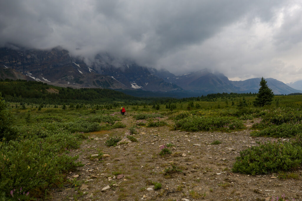
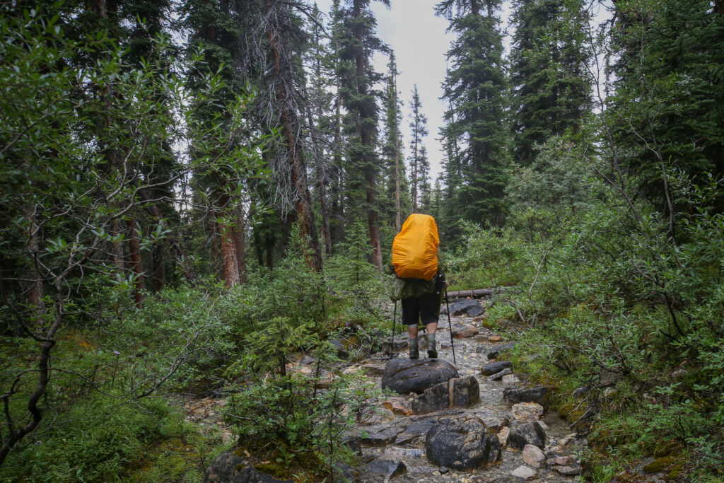
The mountain has the look of an evil castle harbouring the disciples of doom. In the rain I am feeling a bit like a Hobbit on a long journey to a place of dread. Hard to believe this impressive looking mountain is just a minor peak of Molarstone Peak.
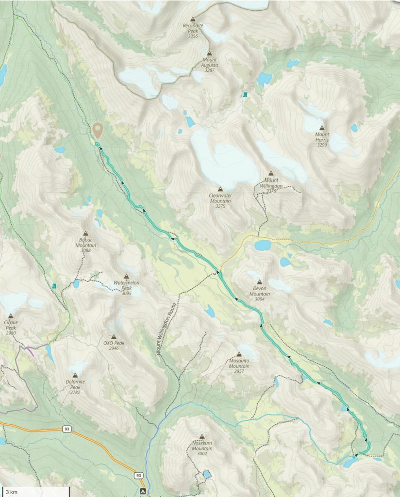
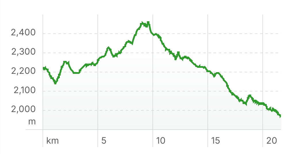
Fish Lakes CG to Siffleur CG, 21.7 km, 479m elevation gain, 703 m elevation loss, 7 hrs 28 min.
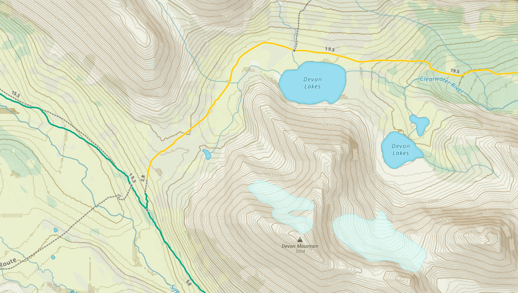
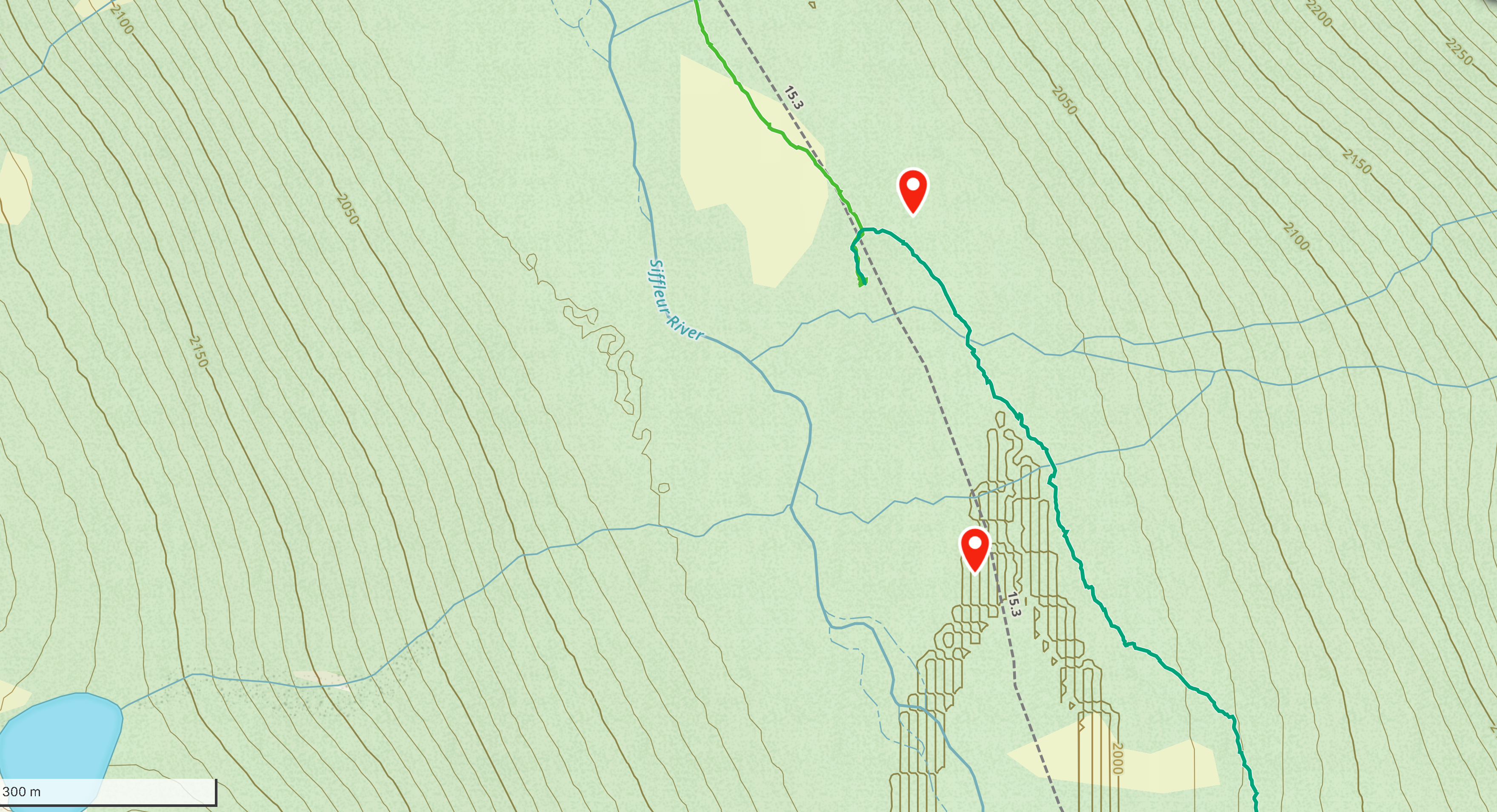
Day 3 route in green. The red waypoint is Siffleur CG (11U 544017E, 5735593N). Note that there are two routes up the Pipestone Valley but the valley route has been decommissioned, see below.
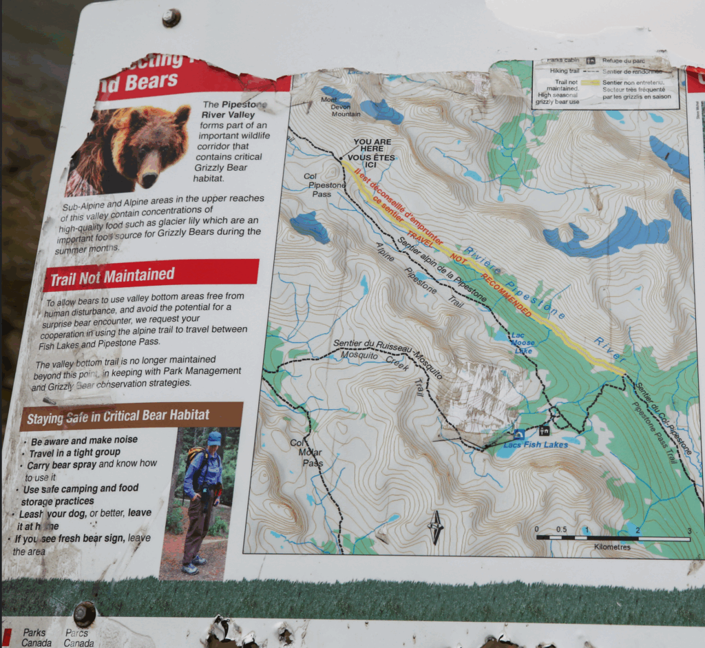
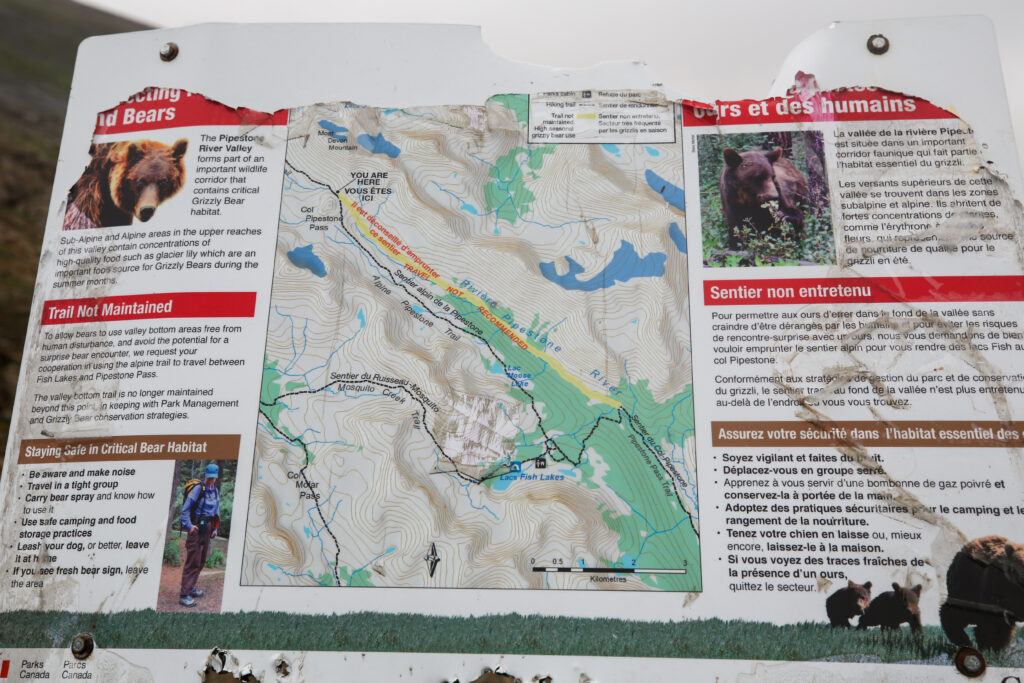
Took this photo at Pipestone Pass. First time I have read that you are not suppose to access Pipestone Pass from the Valley Trail. That was not our plan but I did not know you were not suppose to use the river trail.
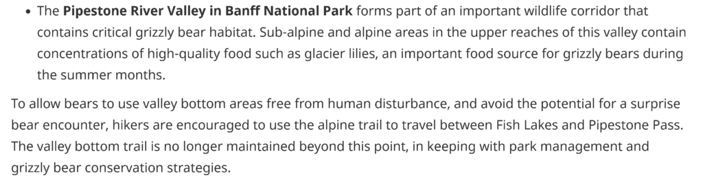
Found this matching photo online with the following description.
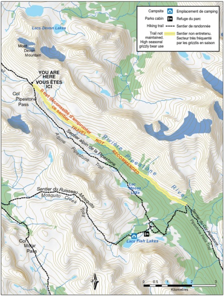
I found the information under bulletins in the Parks Canada website, specifically Protecting bear zones. Would be good to make the information more readily available as it was hard to find. After putting in a little thought I think I have come up with an answer as to how to find the information. All Parks Canada Trails have an Information Board at the trailhead. I am quite sure if we had checked the board at Mosquito Creek Trailhead it would have informed us that we were to only use the alpine route. I do not have a picture of the board but found a video online that shows the board pretty clearly and there are pictures of bears on it indicating that there is probably information concerning the bear habitat and trail closures.
Information board at the trailhead. Thanks to @PapaSteveOnTheMove
Lesson learned, always check the information boards at the trailheads before moving off down the trail.
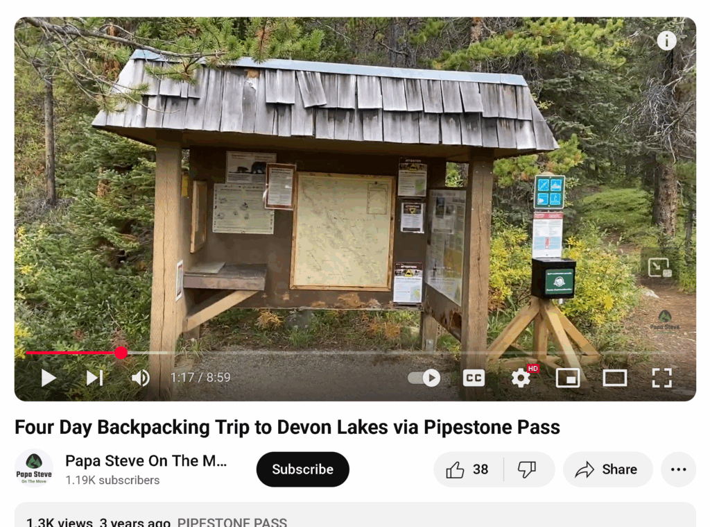
Our destination campground is designated as a primitive campsite. Parks Canada kindly provides the GPS coordinates, in UTM format, which is why I put the waypoint on Gaia my mapping app. Notice in the photo there are no designated tent pads. The campground is easy to find with a sign on the trail as you arrive. The coordinates provided by Parks Canada are off by about 300 m. My app had the campground at 11U 544017E, 5735593N.
Elevation profile day 3.
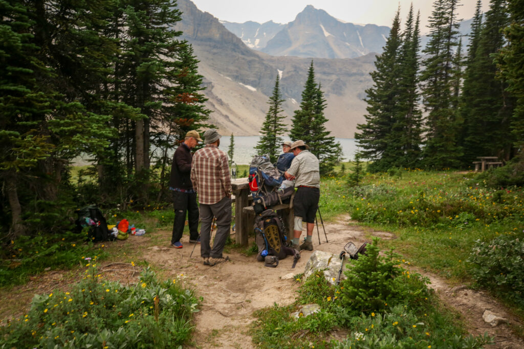
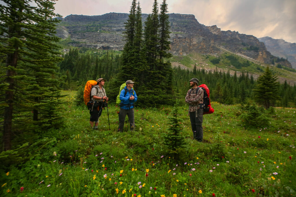
Team meeting, 6:45 am.
First time ever I have had to have a meeting prior to setting out on the day. The day dawned overcast and smokey not exactly motivating. Everyone got up quickly and packed up and headed down to the eating area to meet. I was pretty happy that I have a cold breakfast which I can eat while tearing down the tent. I arrived for the meeting having eaten breakfast but needing a coffee. We discussed hiking in the smoke and the possibility we would get wet. It was only a 30% chance of rain but for me the smoke was an issue. I was last to vote but with everyone voting to continue on I never did actually cast my vote which would have been to abandon the hike. We did though decide to skip coffee and get out of camp and have a snack break after a couple of hours in some sheltered location. The trail actually stays quite high frequently above treeline and there was to be no sheltered snack location until just after 12 noon when we had been hiking for almost 7 hrs covering almost three quarters of the distance for the day. Oopsie.
On trail at 7 am. Smokey and gloomy out.
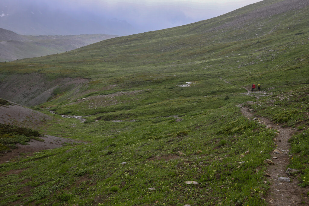
Our first junction 4 minutes into the hike. We want Pipestone Pass, time to turn left.
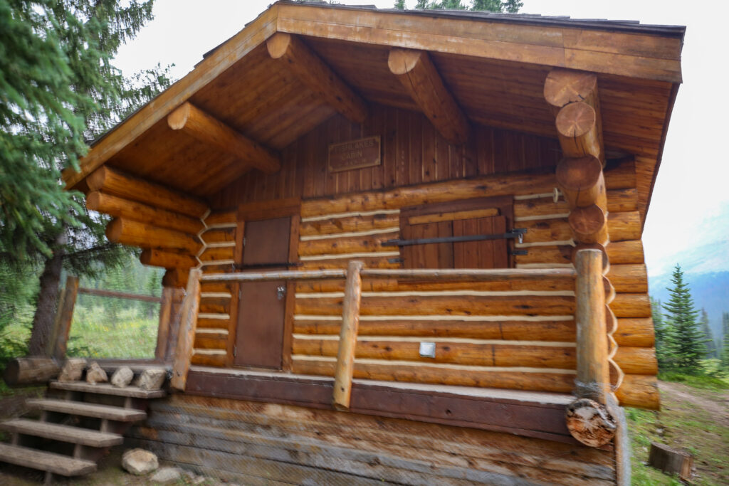
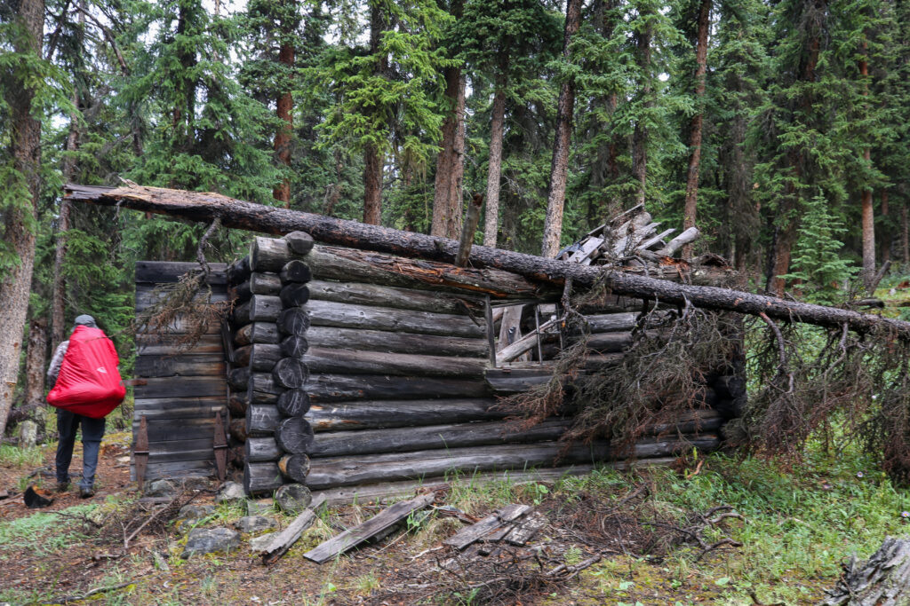
Another very nice and very deserted Parks Canada Patrol Cabin.
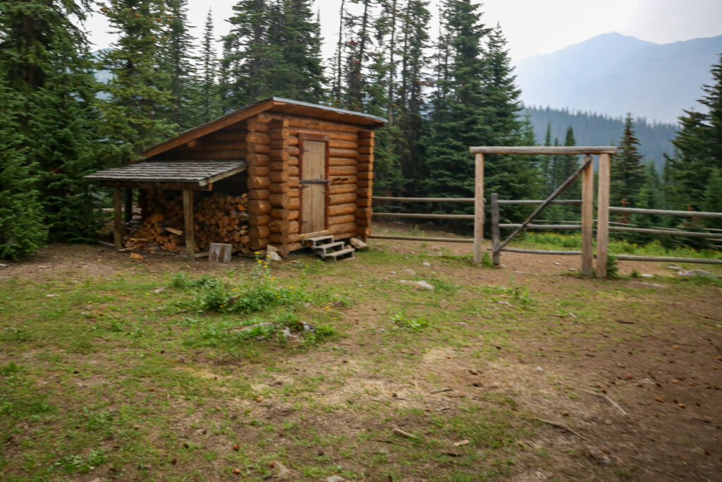
Paddock and wood shed.
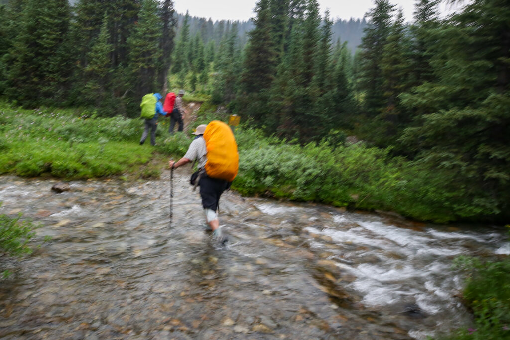
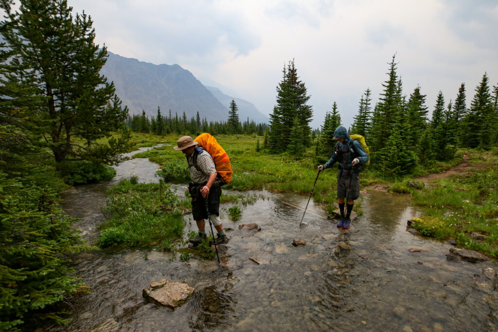
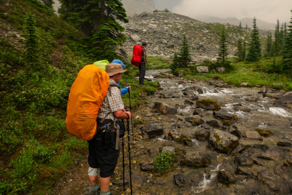
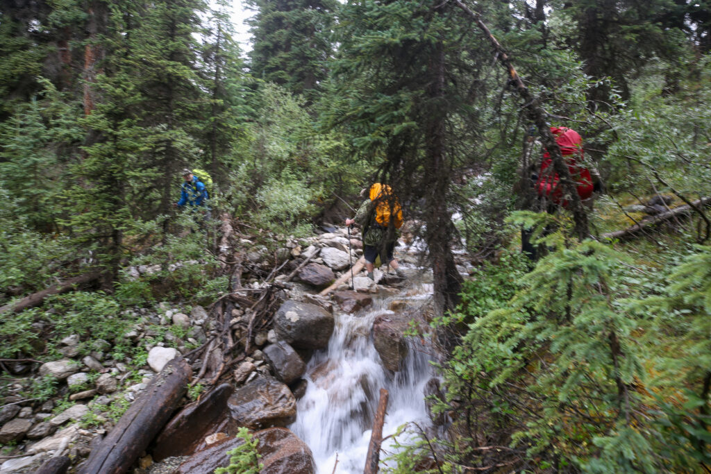
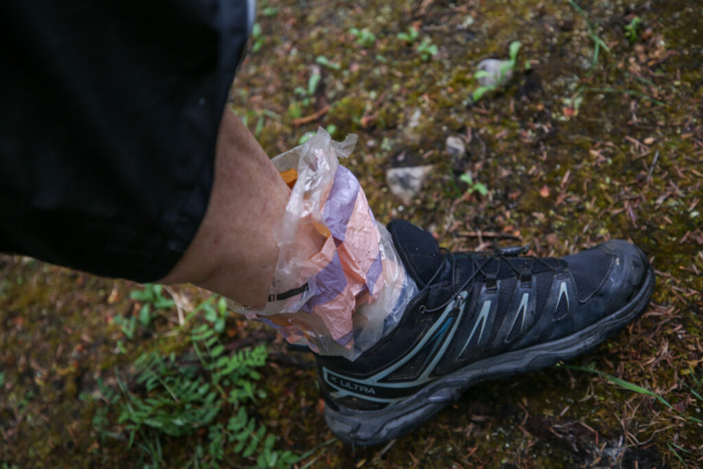
As we checked out the Parks Canada Warden’s Cabin or Patrol Cabin the first drops of rain fell. Pack covers quickly went on and Micah and Bent both put on their rain jackets. A short distance from the cabin we had our first stream crossing. It was shallow but there was no easy way to cross except to accept getting wet feet. I was hiking in Salomon X Ultra 3’s. The shoes are not waterproof. I accept getting wet feet during the day so with stream crossing I just plunge right through. In camp to keep my feet dry I bring old plastic bread bags. I switch to dry socks, slip my feet into the bags and then put my wet shoes back on. My feet stay dry and the heat from my feet help dry the shoes. The bags are a trick I learned in a Great Divide Trail online gear seminar a couple of years ago. Works great.
Anfin going over a short stream crossing. Micah already has their rain jacket on.
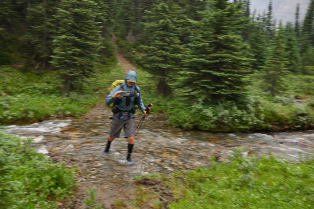
Bent charging across while recording the trip.
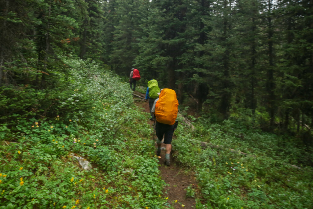
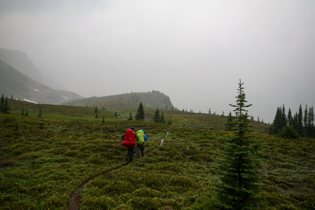
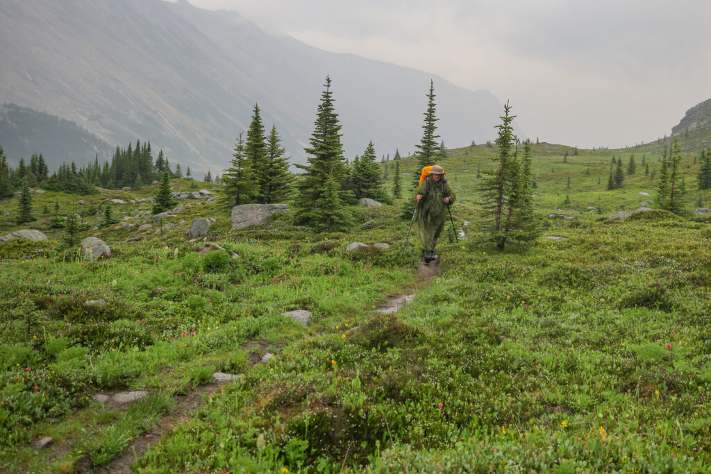
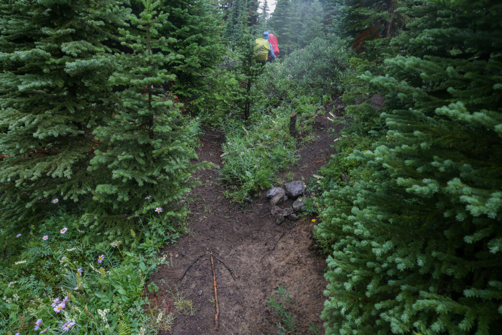
Jordan leading us into the trees.
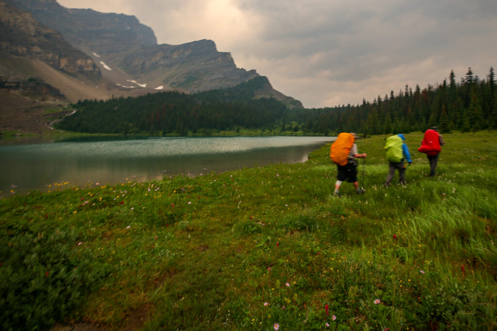
No rain pants for Bent yet. The mountain in the background was the backdrop at Fish Lakes.
Looking down the Pipestone Valley. Is the weather brightening up?
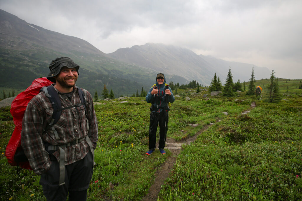
Quick break. Anfin and Jordan do not appear concerned with the rain.
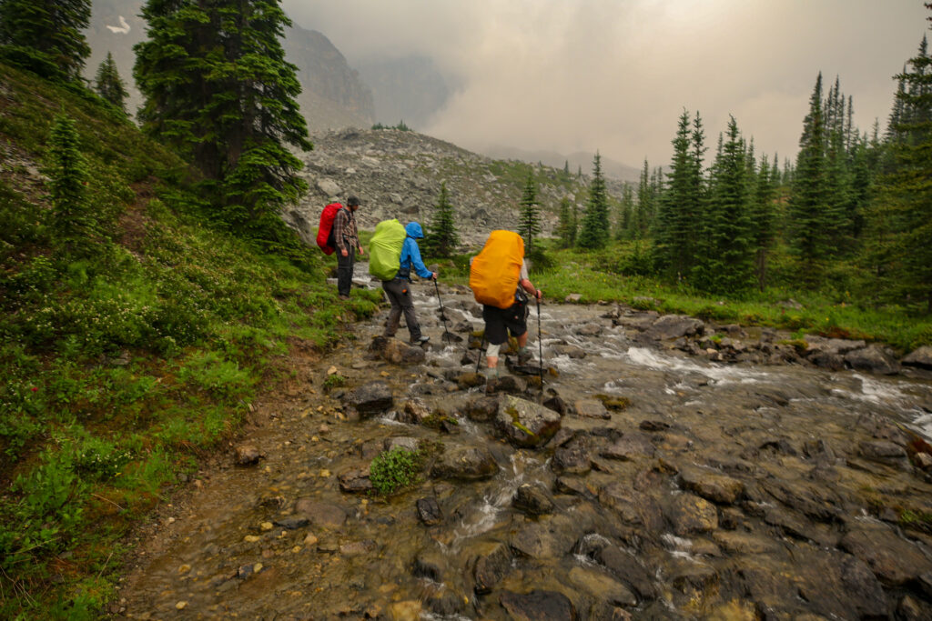
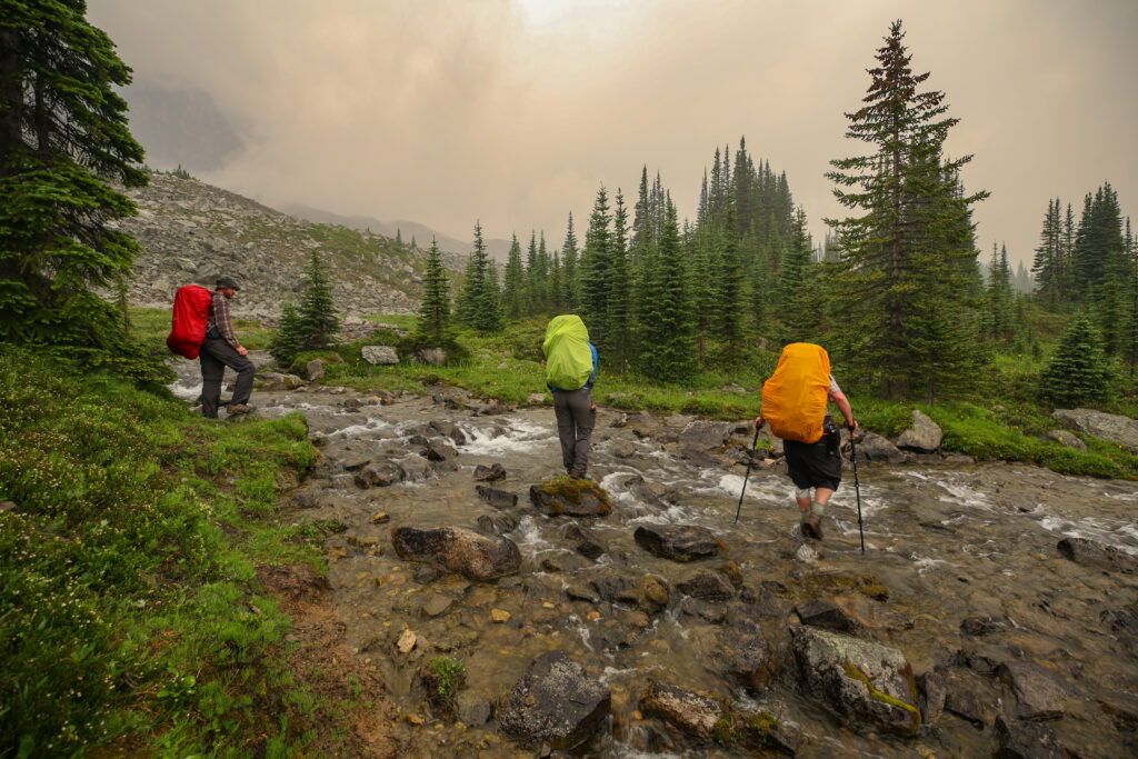
Little water crossing. Despite the rain no one wants to get their feet wet.
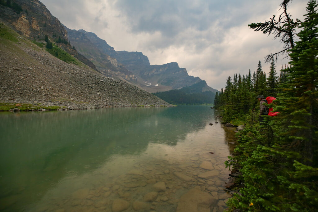
Moose Lake. Can see the rain drops on the lake. For the longest time I thought this was Devon Lakes. But an old Government of Canada Topo map lists this as Moose Lake. Devon Lakes is in the Clearwater Valley and is the headwaters for the Clearwater River.
The hike to Moose Lake took about an hour covering 3 km. It was raining lightly as we arrived at the lake. Moose Lake is quite small, bit more than a large pond but with a spectacular backdrop. With the moody skies it was quite a pretty place.
The sun looks like it is trying to make an appearance. It was only after all a 30% chance of rain.
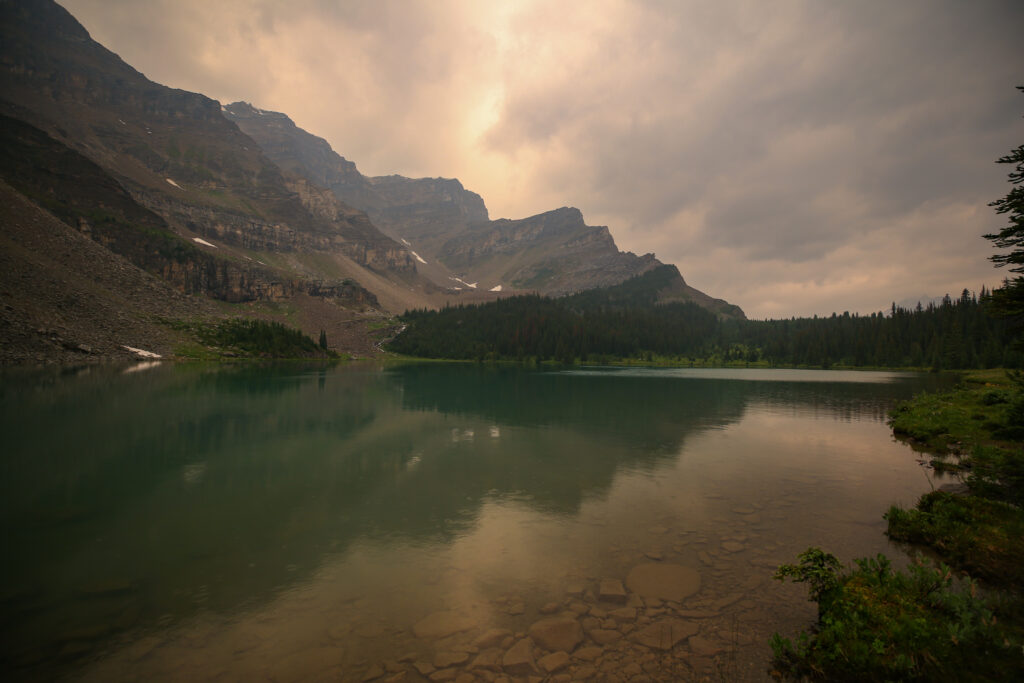
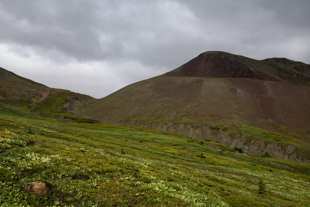
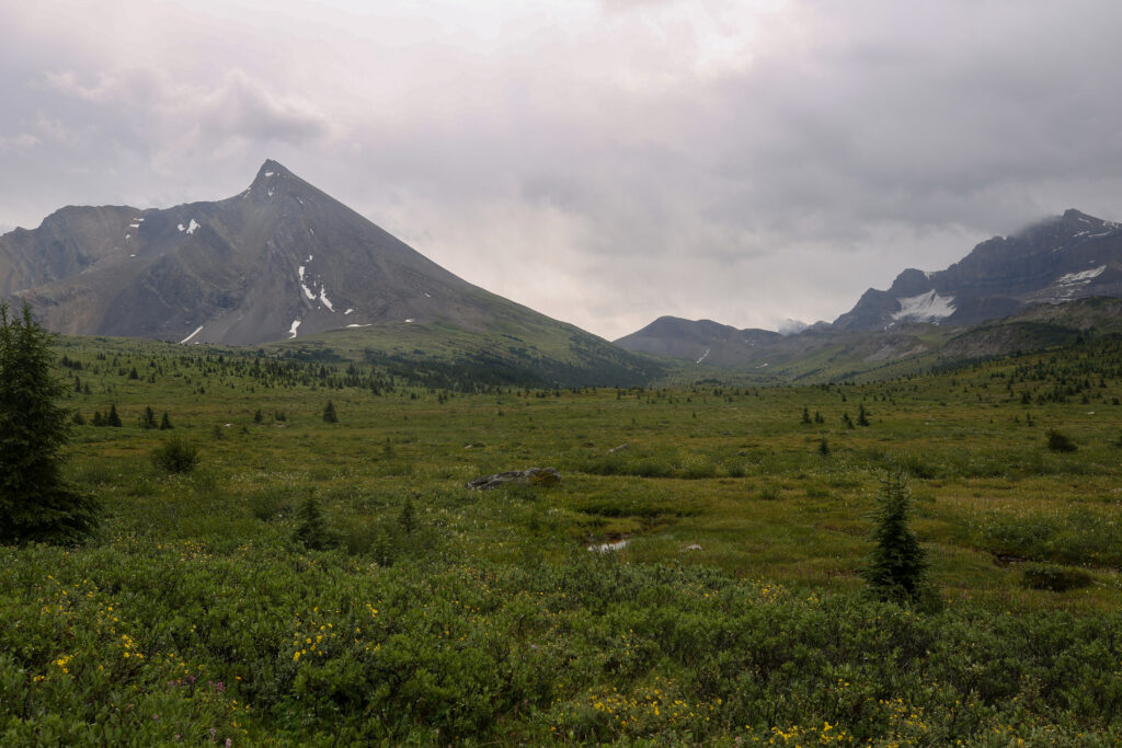
The peaks surrounding Moose Lake are all part of the greater Molarstone Peak massif.
Time to leave Moose Lake. Next destination Pipestone Pass 6 km away. I am thinking a coffee would be nice in all this gloom.
Looks like the sun has lost its battle.
The hiking up to this point had been quite easy. I was not pleased to know that we were headed over a pass in lousy weather. By this point I had both my rain pants and my poncho on. For some reason ponchos do not come with full sleeves so I made myself some dynema sleeves and connected them to the poncho using velcro. I was completely dry and ready for anything Mother Nature decided to throw at us but I was curious as to why Anfin and Jordan had not got their rain gear on yet.
Not a lot of fun to walk in but the clouds do add some mood to the photos.
Trying to fine the dry line across. We may all be a little wet but doing our best to keep our feet dry. It was a lost cause. Anfin and Jordan still without any rain jackets on.
Jordan, Micah and Anfin all fanning out and picking a different way across the stream.
It is looking a little more grim out. The trail is shiny where there is water starting to accumulate.
Must be raining quite a bit as I am trying to minimize how much I have my camera out and exposing it to the elements. The black is the camera strap flashing past as I quickly pull the camera out of its bag for a quick pic.
Micah actually looking quite pleased with themselves. Micah does not actually have their rain pants on, noticeable as they are carrying their bear spray in their cargo pant pocket.
The weather kept playing games with us. In the space of a few minutes we could go from gloomy to bright skies back to gloomy. A few times on the way to the pass we actually thought we were finished with the rain but no such luck.
Bent all smiles. Not sure if Jordan is smiling or grimacing.
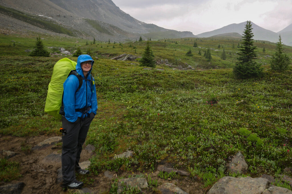
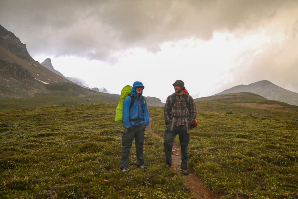
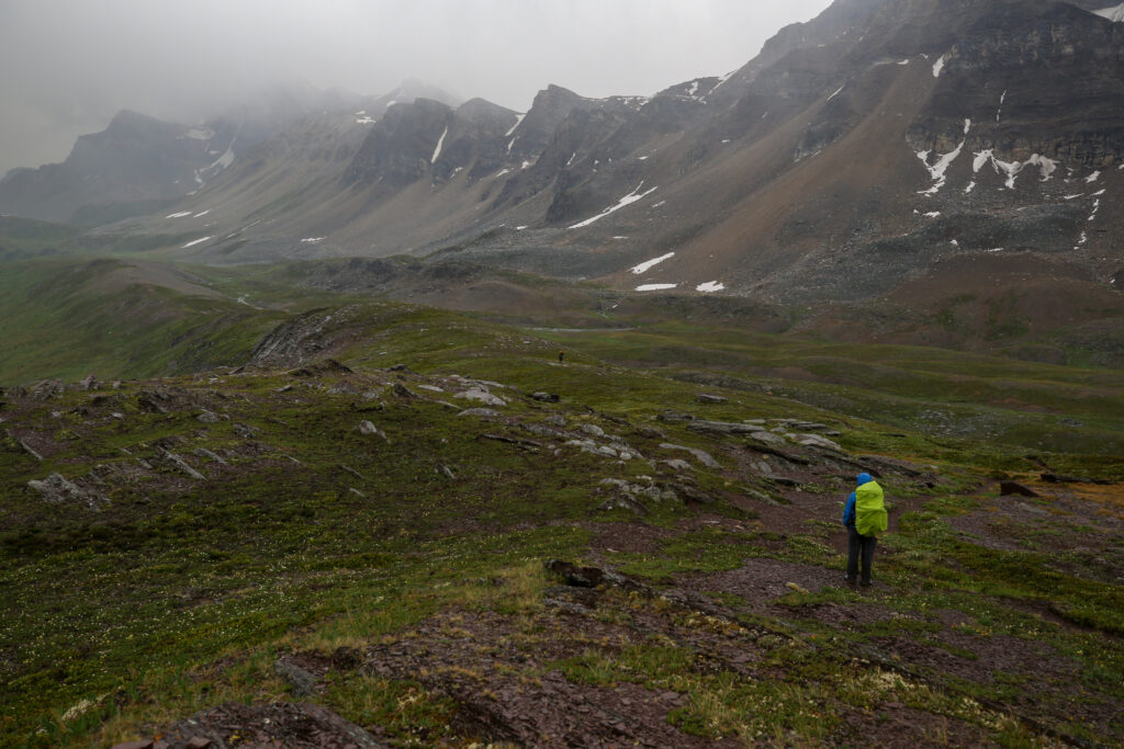
Anfin with all their rain gear on now.
A couple of relaxed looking hikers. Look how bright that sky is.
Anfin grinding their back to the group. It would be stunning valley in the sunshine.
It is interesting that we are on this rocky patch only to come to more grass as we approach the pass.
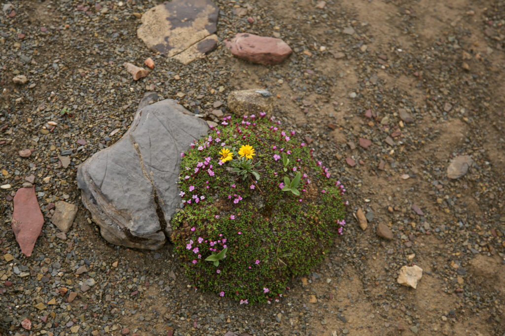
Moss Campion (Silene acaulis) my favourite alpine flower getting chummy with a couple of Heart Leaved Arnicas (Arnica cordifolia).
The trail goes straight up this ridge then actually cuts over to the right to access the pass on the east side of the valley. There are some Red Paintbrushes at the centre of the photo.
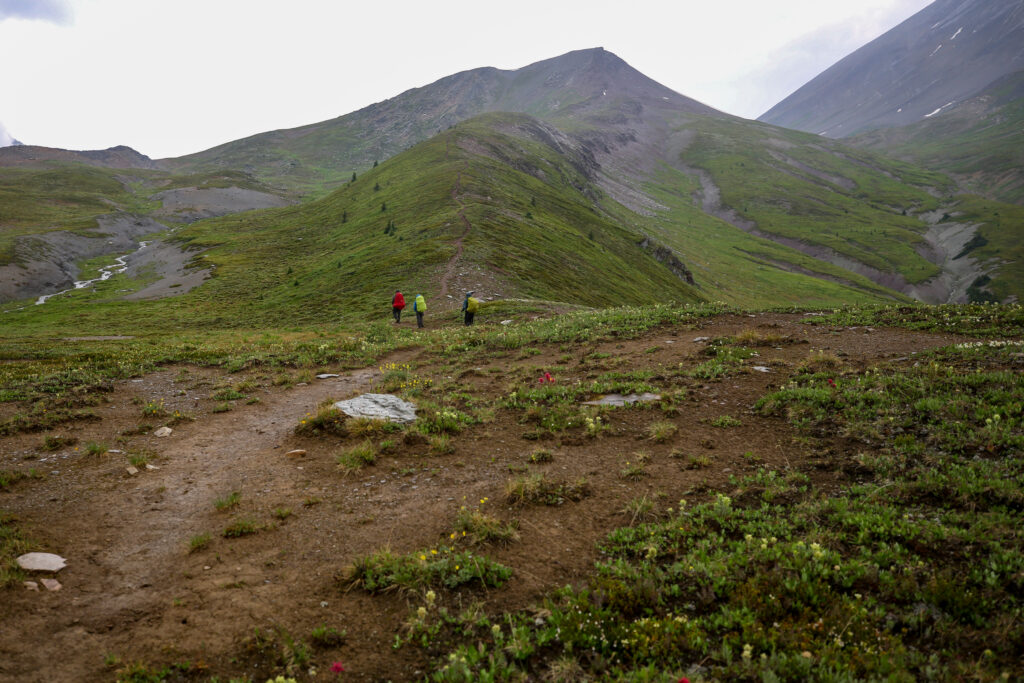
Now Anfin is really staring to drop behind. This is when it is time to consolidate the group or be a leader and wait.
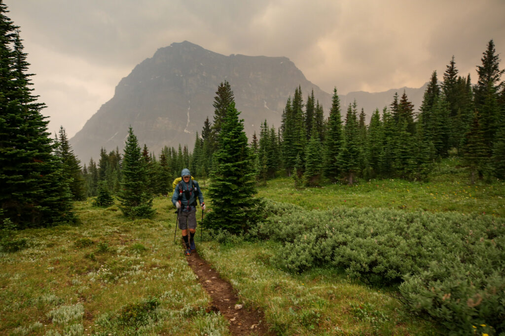
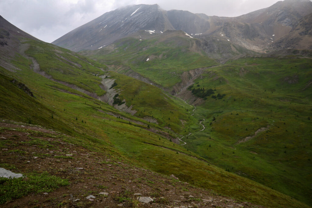
It is a lovely green valley. The little ribbon of water is the beginning of the Pipestone River. The large slab of a mountain to the right of the pass is Devon Mountain (3004 m). Devon Lakes is on the north east side of Devon Mountain.
After that brief moment of brightness darkness has again fallen. Jordan leading Micah and then Bent.
It looks like a lovely lush valley but the weather looks like it is better where we are.
Micah has decided to wait for Anfin.
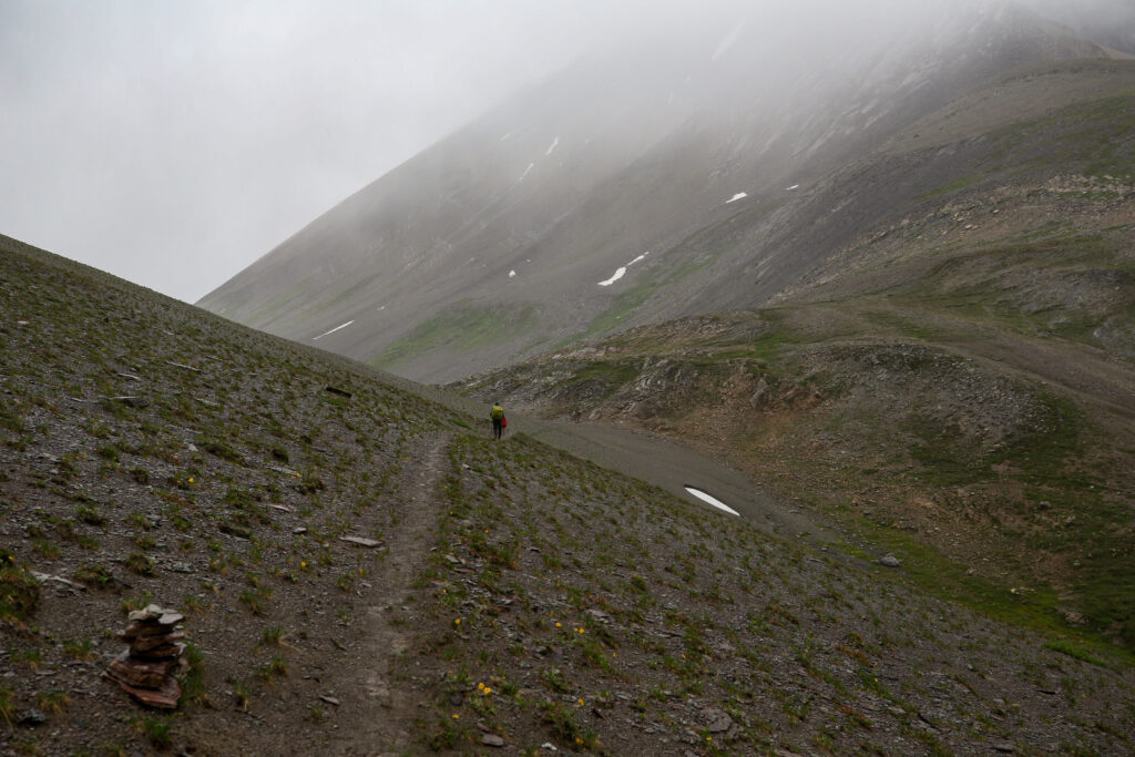
It was getting miserable at the top. The rain that had steadily intensified had turned to sideways blowing ice pellets. While Micah waited for Anfin I pushed on after the other two. The sideslope walk to the pass was mostly a matter of lowering your head and just pushing on. The trail was good and seemed to have absorbed the water well and resisted turning to slop.
Sideways snow pellets greeted us as well approached the pass.
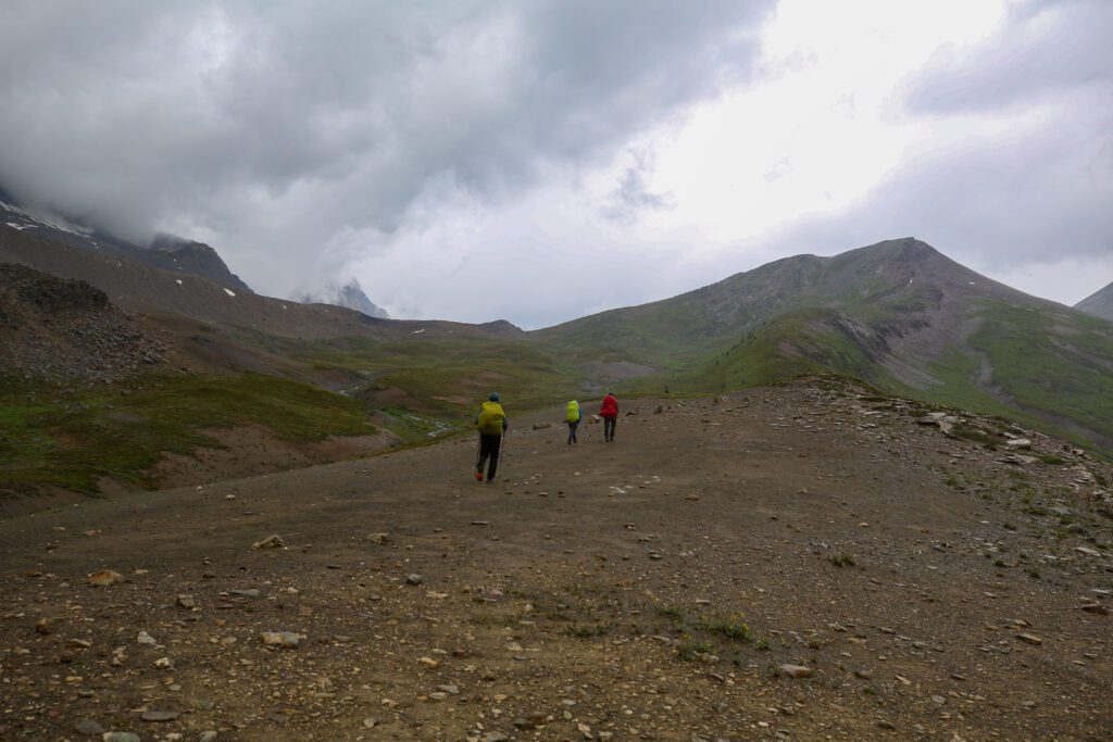
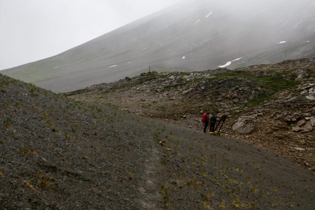
Jordan and Bent checking out the sign.
It is a little beat up but good information. The valley trail has been decommissioned. There should be another sign at Fish Lakes but my guess people at Fish Lakes should have read the information board at the trailhead.
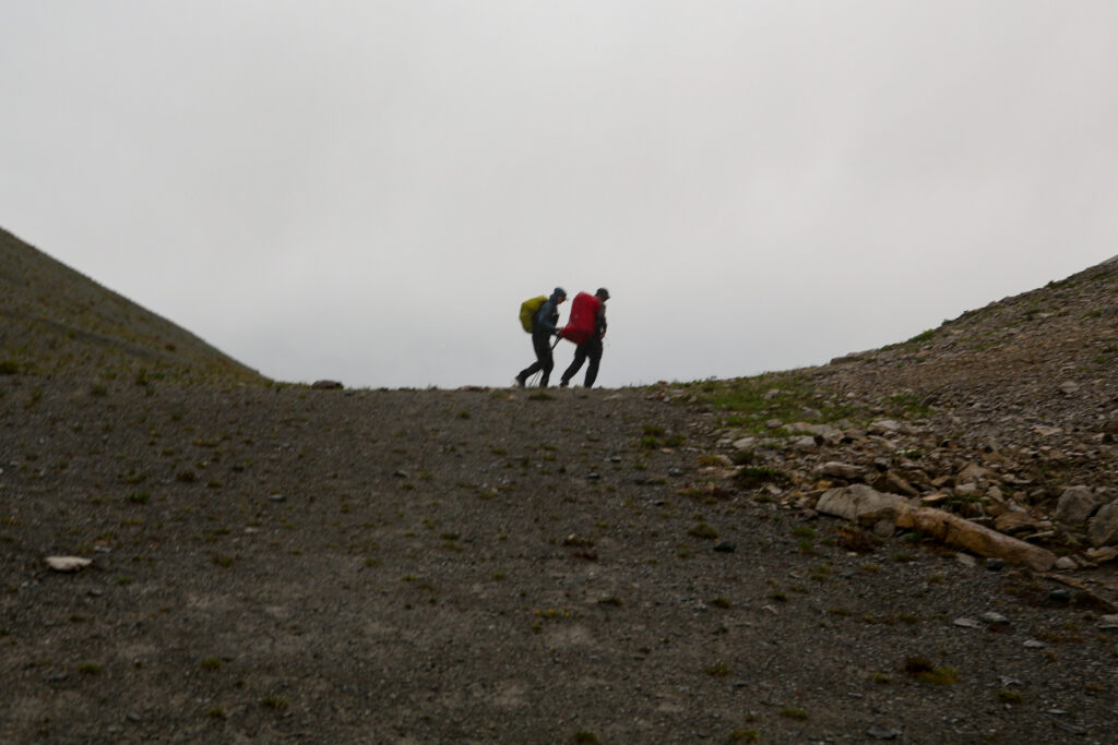
A fun if blurry photo of Bent and Jordan disappearing over the pass.
Micah and Anfin just coming over the rise and into view.
It had taken us almost exactly 3 hours to hike the 9.5 km from Fish Lakes CG to Pipestone Pass. We had only gained about 300 m of elevation. In any other conditions this would have been quite an pleasant stroll in a park.
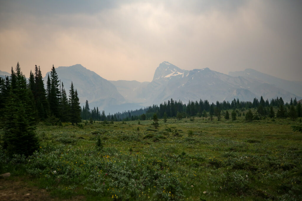
My first look into the Siffleur Valley. Not impressed. No sheltered place for a coffee! The lack of coffee was starting to get a little serious.
I was feeling quite unsure of what to do and my stress level was starting to rise. At the moment everyone was safe. Bent and Jordan together out front and Anfin and Micah behind. But I was not happy with the group splitting up and the weather was not very nice there did not appear to be anywhere to hide from the elements in our immediate future. I pushed on to hear a chorus of “bear” from in front of me alerting me to a new member to our group. I grabbed my bear spray and looked around but never did see any bear. Jordan and Bent both said it was a grizzly who disappeared quickly into the willows.
Jordan and Bent pushing on.
Looking back at Pipestone Pass from the other (north) side.
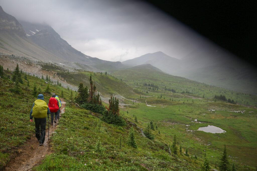
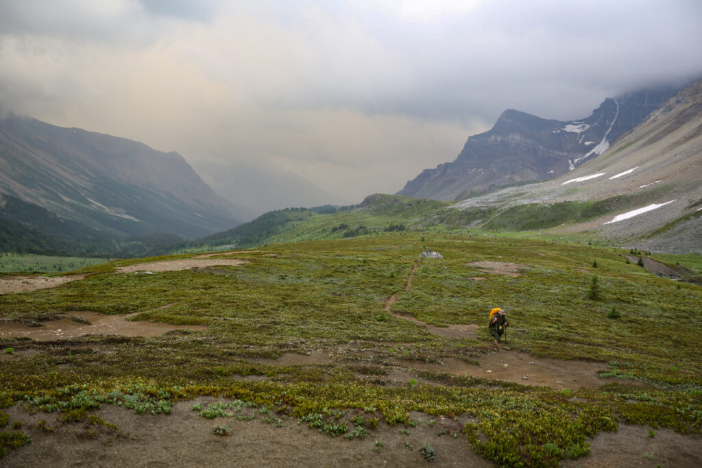
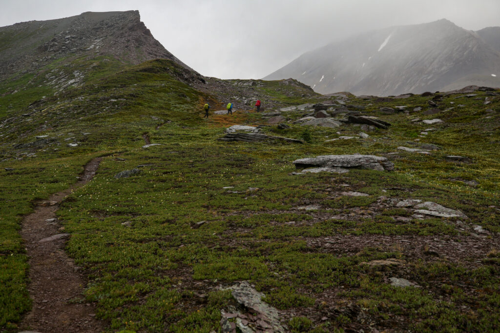
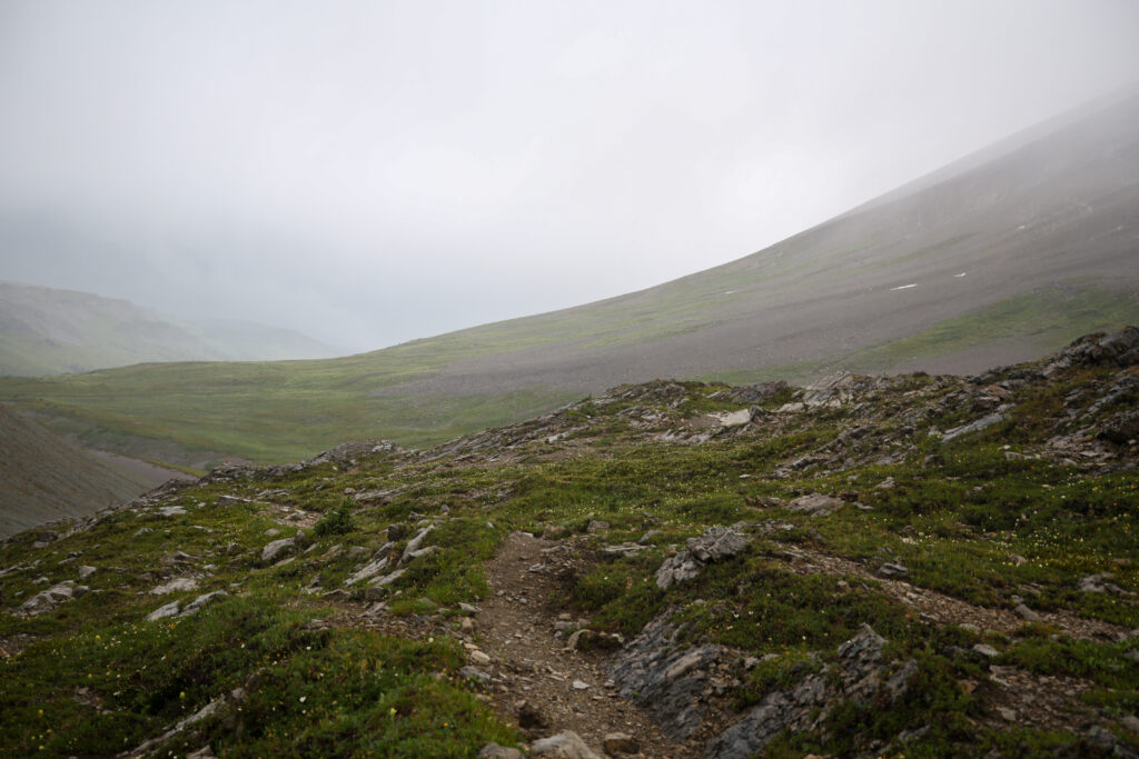
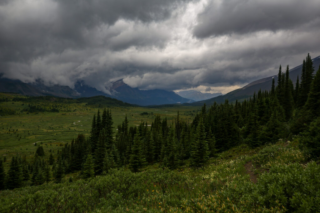
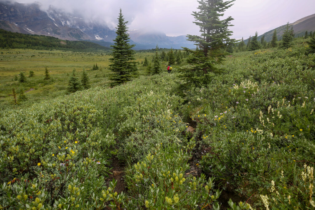
The trail is in good shape but there appears to be a lot of meadow walking in our immediate future.
This is a fantastic photo with the dark moody skies. But it was not very reassuring while on trail.
Taking a brief moment to take in the beauty of the trail.
In our enthusiasm we started to head down the trail to the Clearwater Valley. This would not have been good.
Giving directions to Anfin and Micah. Go left not right. In hindsight this was a risky and dumb thing to do. At junctions to ensure everyone goes the same way you should stop and wait.
More willow walking. Getting hard to keep the legs dry.
I remember almost running to try and keep up with Bent and Jordan.
Panorama looking west and south. Mountain at centre is Bobac Mt (3088 m), in the clouds to the left with the small snowfield is Watermelon Mt (3095 m) which we saw yesterday. Mosquito Mt (2957 m) is the last mountain visible on the west side of the valley. Devon Mt (3004 m) is the lone peak on the left
If you look closely at the centre of the photo you can see two small figures who are Anfin and Micah. The time is 11:15 am and we have been walking in the Siffleur Valley for 1 hr 15 min. Still no coffee.
After seeing that Micah and Anfin where still coming I tried to move quickly to catch up to Jordan and Bent. There was no rationalization I why I wanted to go forward instead of waiting for Micah and Anfin and hike with them. I really felt like I was caught in the middle and that the hike had spiraled somewhat out of control.
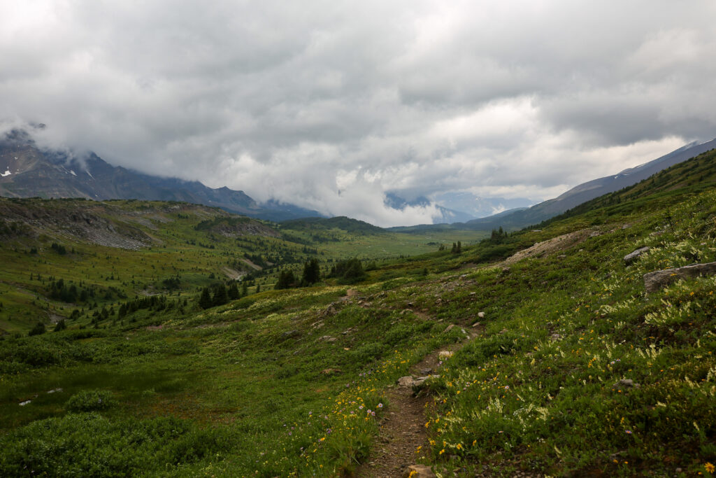
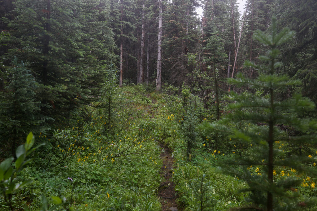
Very obvious once upon a time a lot of work was done clearing the trail but lately there has been a lack of upkeep.
After walking across the alpine meadow, mostly willows, the trail went hard into a forest. The trail fluctuated from good firm tread to being muddy and rooty. There were a few places we could have improvised a coffee spot but I could not catch up to Jordan and Bent to suggest a break.
11:55 am. This was an amazing section of trail. But it did not last.
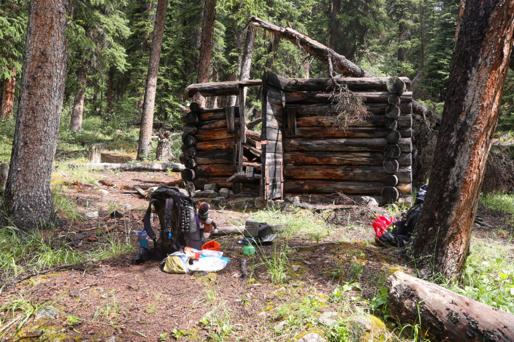
After the very nice soft pine section of trail the trail dropped into a bog which was all the more boggier thanks to the rain. I moved quickly through the bog which brought me small clearing. As I moved through the clearing I spied Jordan and Bent checking out what I would discover later was a long abandoned Warden’s Cabin. Coffee time!
12:15 pm. Surprised Parks Canada has not demolished the cabin for safety reasons.
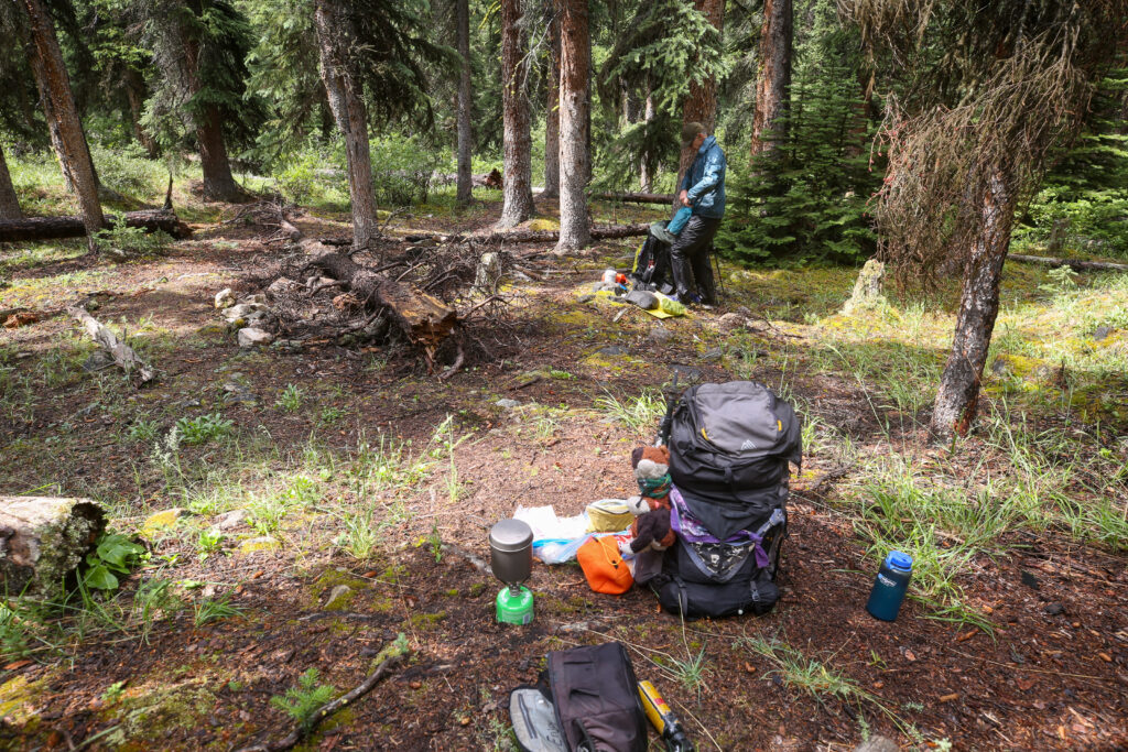
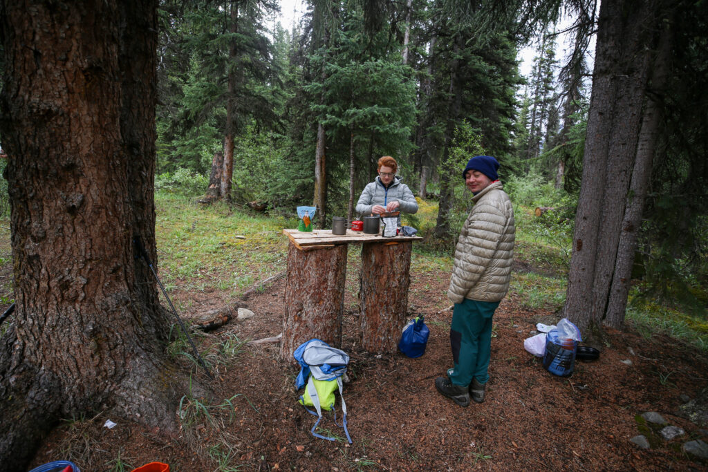
Cooking up some water for coffee. The first pot went to Jordan. The sun is coming out.
We spent almost an hour at the abandoned cabin. The sun was out sort of and it was just nice to be sheltered and not moving. Micah and Anfin came along about 15 minutes after we had arrived. It turned out that Jordan did not have a rain jacket and had kept moving to stay warm. Anfin lent Jordan their puffy as they had a couple of other warm items in their bag for later. This turned the mood for the better as did the hot coffee and some food. At 1:30 pm we packed up set off to finish the last 3 km to the camp. Jordan, Micah and Bent headed off at the front with Anfin and myself trailing just a short way behind.
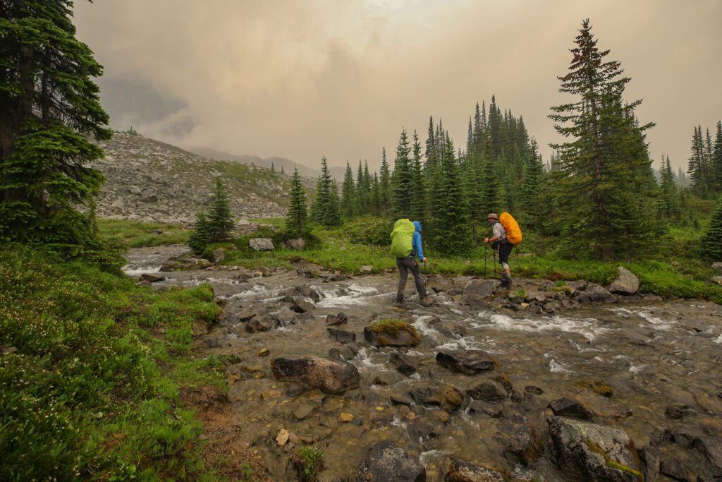
The stream crossing was not as dramatic as it seemed. But don’t fall.
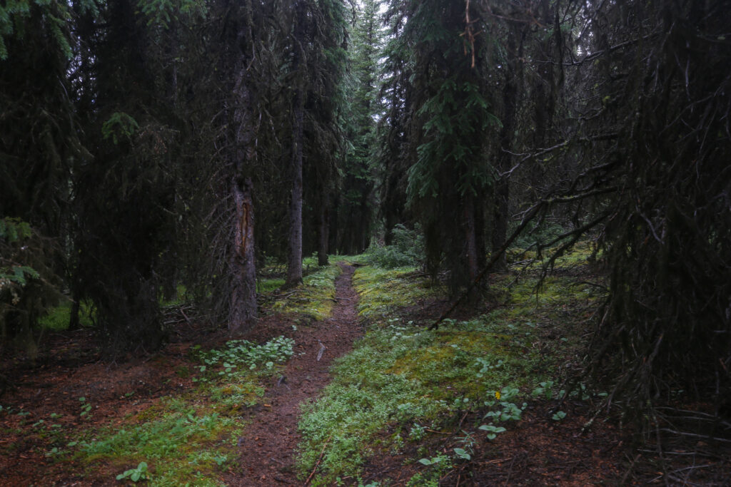
Could use some trail maintenance.
The trail has improved and there are obvious signs of trail maintenance with the branches of the trees trimmed away.
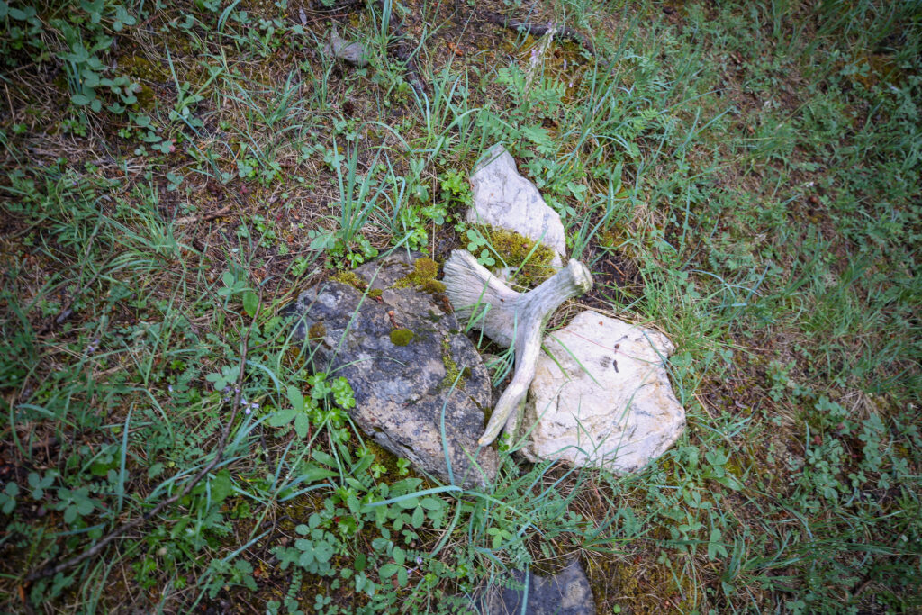
Moose antlers anyone.
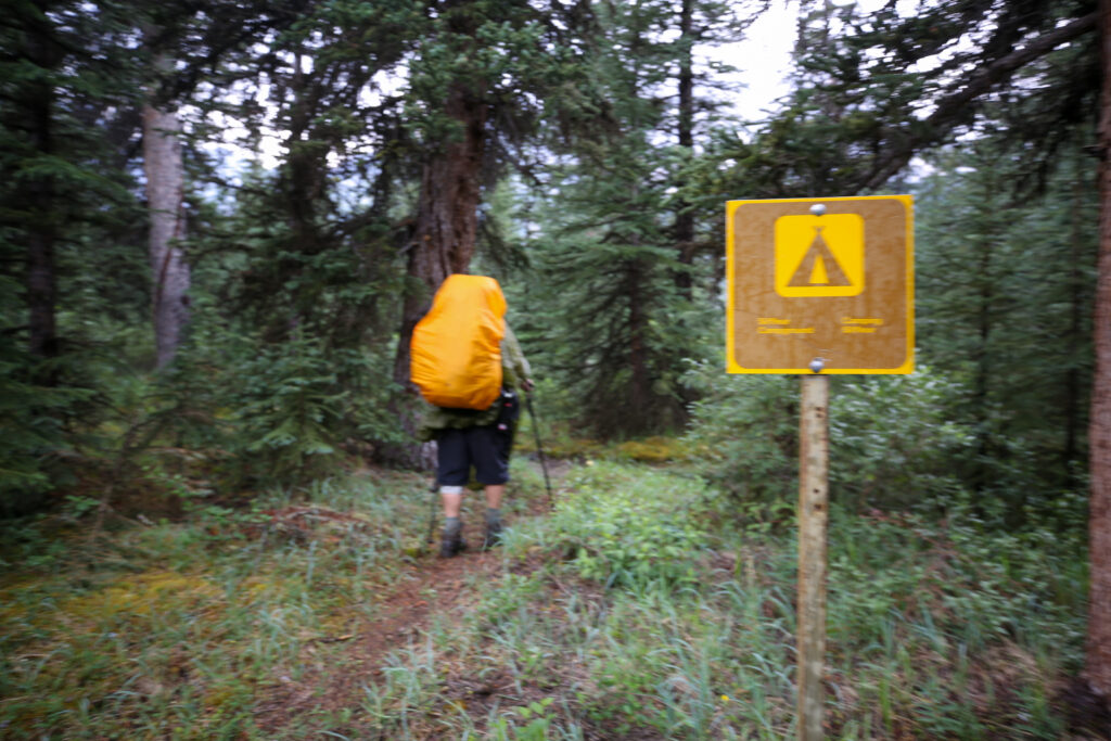
It was a good way to end what had been a bit of a chaotic day. Anfin and I just set a steady pace and chatted about a variety of topics. One of topics of discussion was books. Anfin was reading a short story by Isaac Asimov and author I was very familiar with having read several of his books. Before we knew it there was some shouting from the front signalling arrival at camp and soon after we came across the sign for Siffleur CG.
Arrival at Siffleur Campground.
The campground is the little tail of the dark green line. The Gaia Topo OpenStreetmap had the campground location (way point at top) much closer than the coordinates provided by Parks Canada (way point at bottom). Judging from the map scale at the bottom the Parks Canad way point is well over 300 m away from the actual location.
The map provided by Natural Resources Canada also had a more accurate location of the campground than Parks Canada.
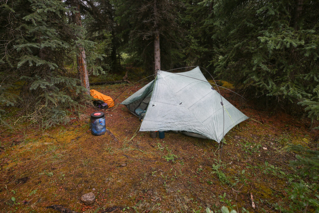
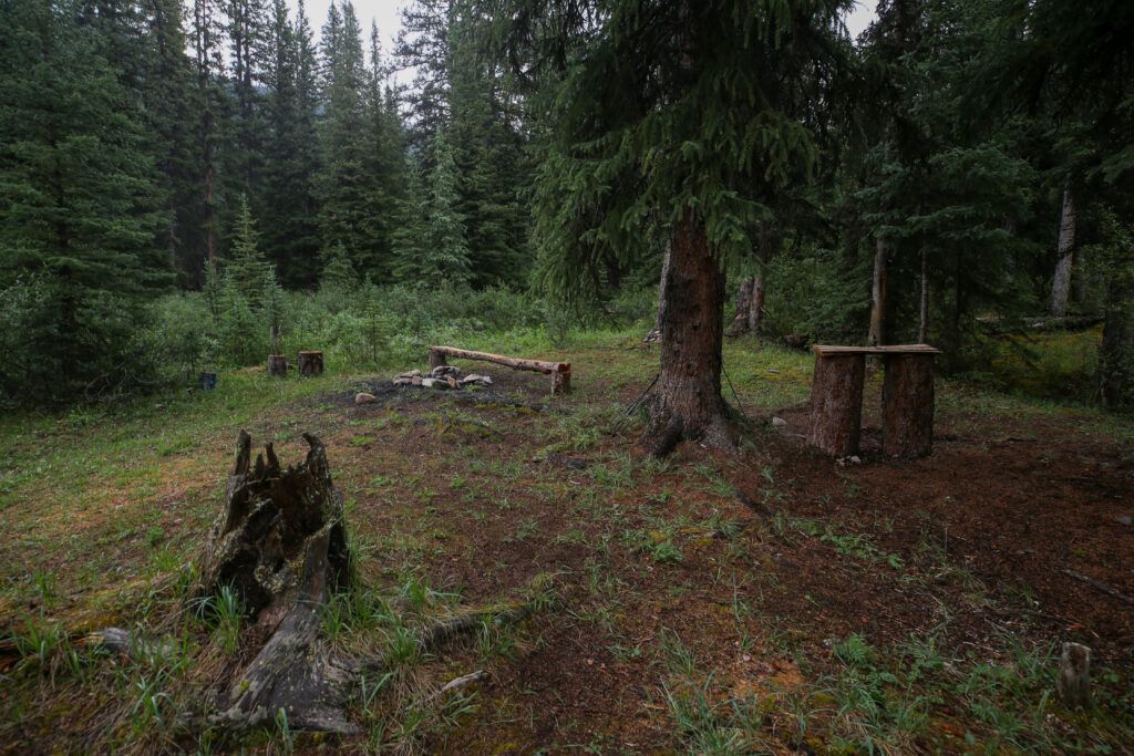
We arrived in camp at 2:20 pm 7 hrs and 20 minutes after leaving Fish Lake CG. The campground had a fire pit, log, table and tree fort. True to the description by Parks Canada there are no actual tent pads but there are several obvious places to pitch a tent. It was not raining when we arrived but that was no reason not to quickly get the tent up.
Quick pitch of the tent.
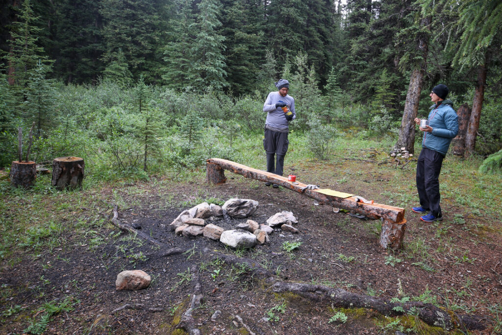
The central part of camp. Fire pit, log and table on the right.
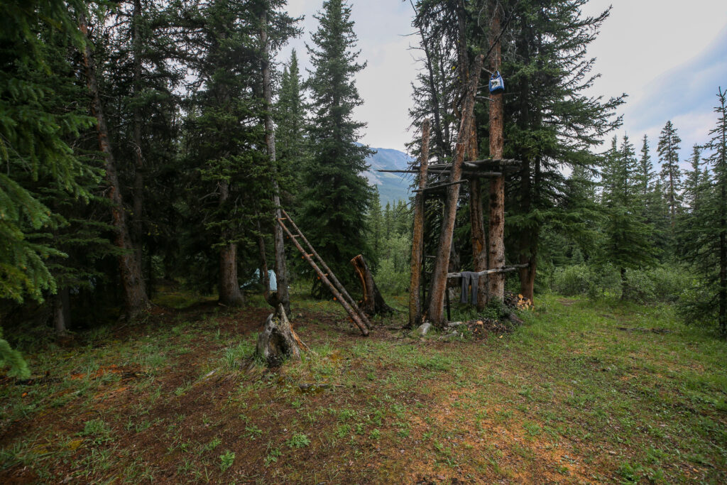
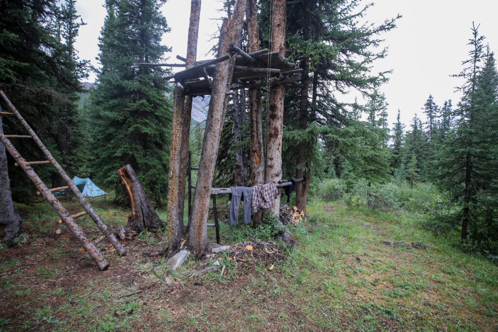
Tree fort. Jordan has made an attempt at a bear hang.
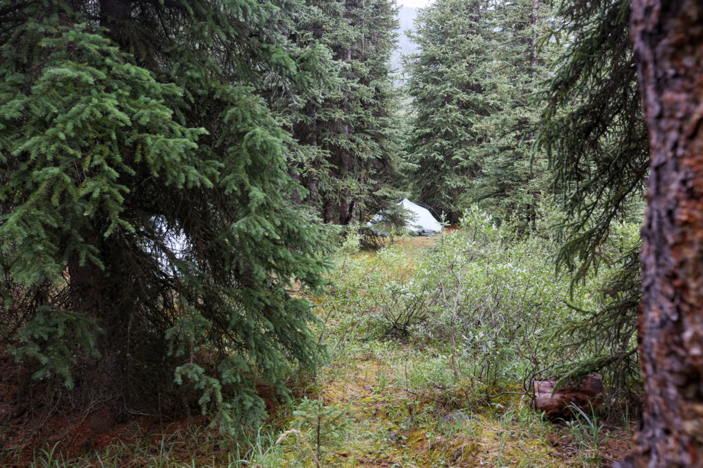
The view from the table to my tent. Bent is set up just off to the left.
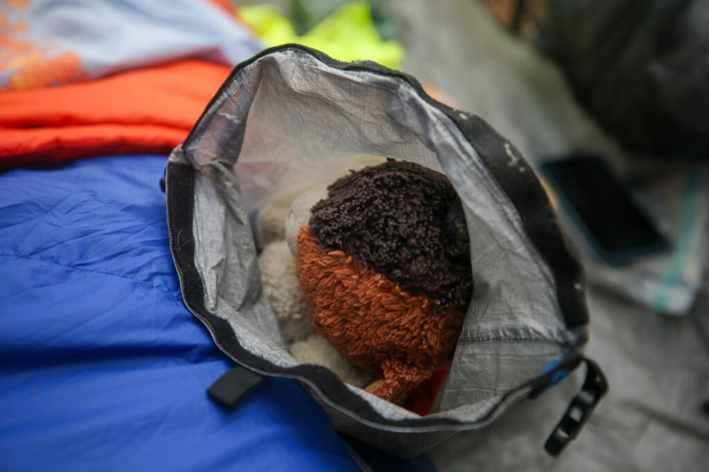
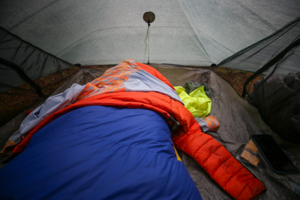
Frosty stayed dry inside my clothes dry bag.
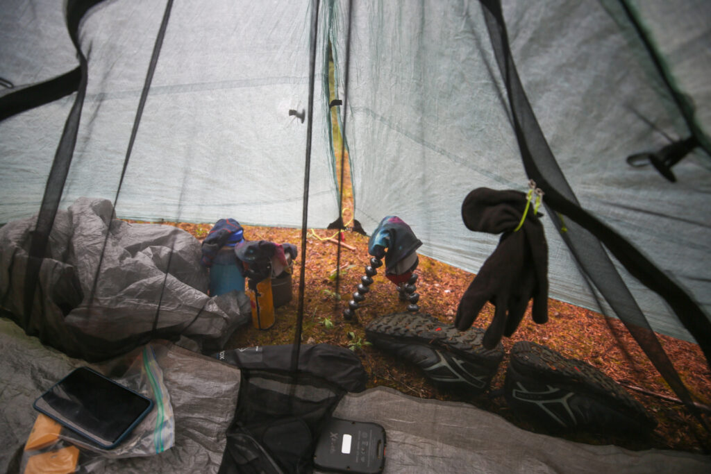
Trying to dry out my gloves and Dirty Girl Gators.
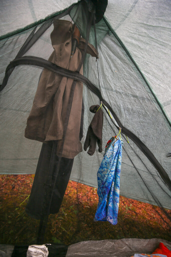
Vainly trying to get my pants to dry. Think I walked around in my rain pants all night.
Staying warm in my sleeping bag. Trying to dry out my sun shirt. Not a lot of sun today.
Just 20 minutes after tent was set up it started to rain. It rained steadily for the rest of the afternoon resulting in a late dinner. I just read and stayed warm in my sleeping bag.
While Bent and I were relaxing in our tents the other three got together in the orange palace that Micah and Anfin were using and played cards all afternoon. The rain finally let up around 6:30 pm. Once I was fairly certain that it was going to stay dry for while I headed outside to make dinner.
Putting the little table to work. Lots of Peaks Eats for dinner. 6:50 pm.
Bent and Jordan enjoying some conversation during dinner. Jordan improvising some warm head gear.
The tree fort being used as a clothes hanger.
How I keep my feet dry in camp when my shoes are wet. I switch to dry socks then put my feet in plastic bags. On this day using old bread bags. This way my feet stay warm and dry and I do not have to carry a spare set of camp shoes. The heat from my feet also helps to dry the shoes just a little.
View to the west from camp. You can see my tent in the trees. This is just the north-east end of Bobac Mt. We have to walk around this mountain tomorrow.
The view looking east. Mt Kentigern (3176 m). Little bit of snow at higher elevations.
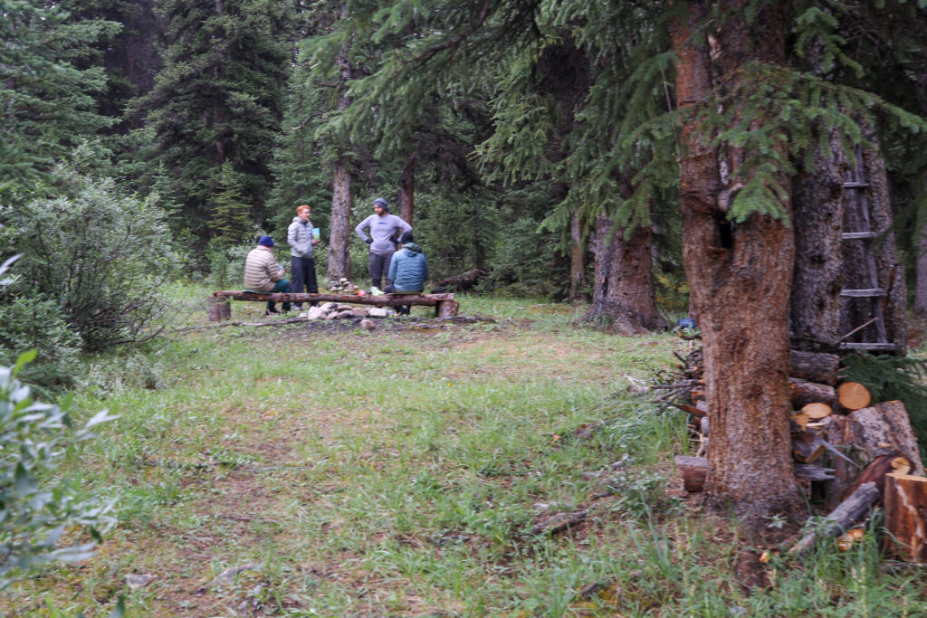
Group chatter. Great way to end a challenging day.
The evening was dry if a little cool. We had a fun evening evening just telling stories. Our goal tomorrow was only about 17 km to a wild camp at the confluence of two streams. We picked the location from JJ in the Mountains youtube video. JJ and his crew named the camp the Confluence Camp. Since it was to be a short day easy day, it would include a nasty stream crossing, we decided we would leave at a very pedestrian 8 am. As 8:30 pm the rain returned so we all headed back to our tents for the evening.
Good night from Siffleur CG in the wilds of the Siffleur Valley.