
Marathon in the mountains.

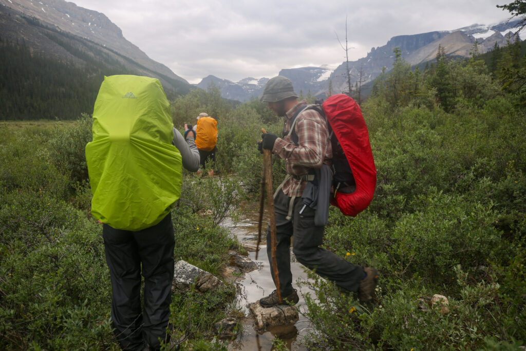
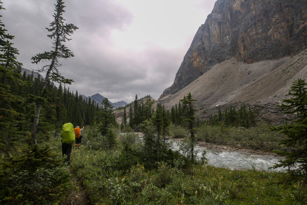
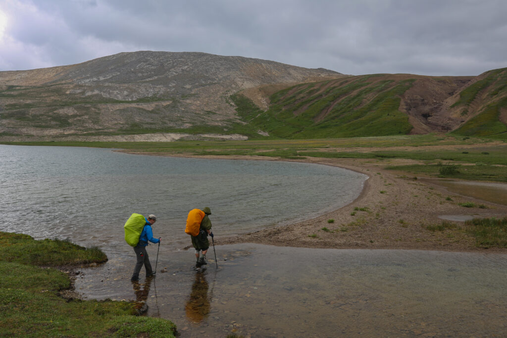
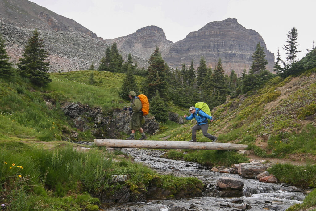
Micah putting all their New Zealand TA stream crossing experience to work while Jordan supervised and gave useful advice like “careful” and “don’t slip”. Micah would abandon this crossing and move downstream and utilize the two islands in the background for what ended up being a fairly straightforward crossing.
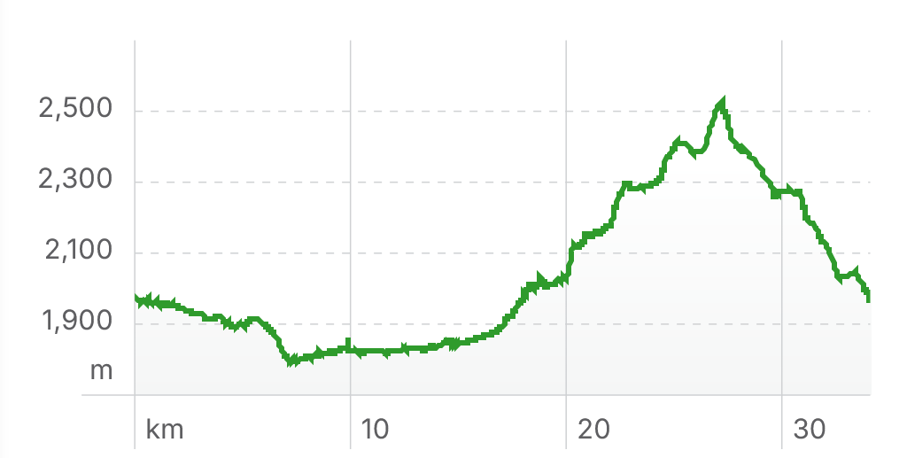
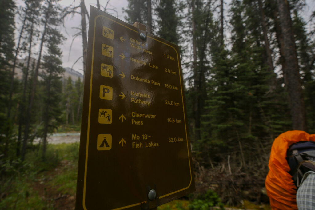
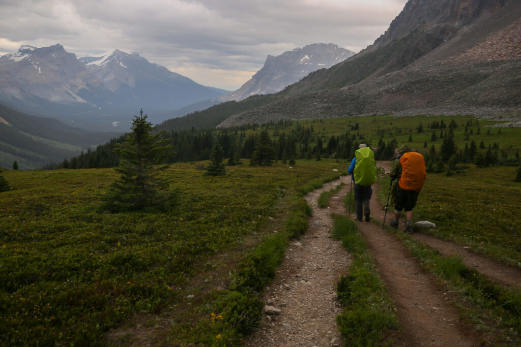
Siffleur CG to Helen Lake TH, 34.1 km, 857 m elevation gain, 842 m elevation loss, 12 hrs 58 min.

Was rolling over the plan for the day in head. We had two choices. After yesterdays wet marathon day the best choice was a short 17 km day to a random camp just past Isabella Lake before the climb up the Dolomite Valley. The other option with it still being somewhat gloomy out was to just walk out to the car. It started to rain as I was getting up but once I was out of the tent the rain had finished for the day.

Searching online I discovered Bobac is a marmot of eastern Europe.

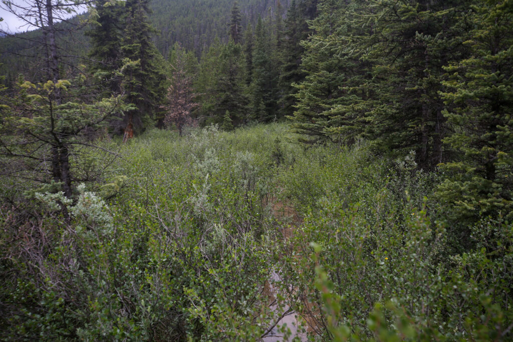
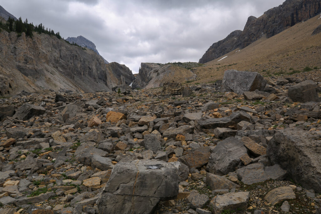
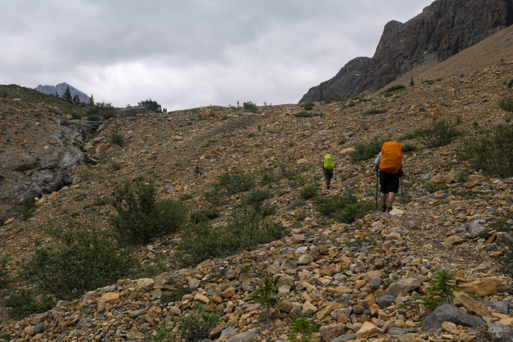
Someone put a lot of work into the trail for a very short section. Combining with the trail maintenance yesterday it appears that a lot of work was done within just a couple of kilometres either side of Siffleur CG.
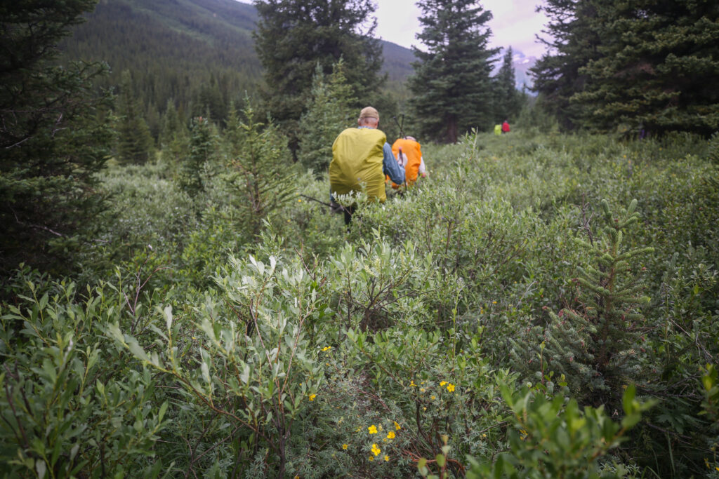
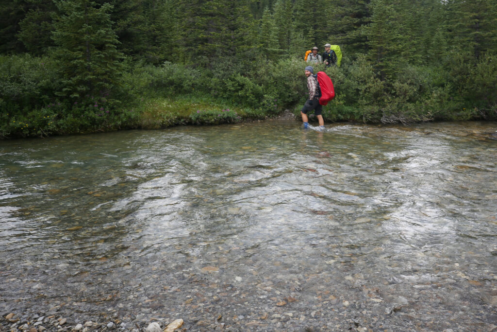
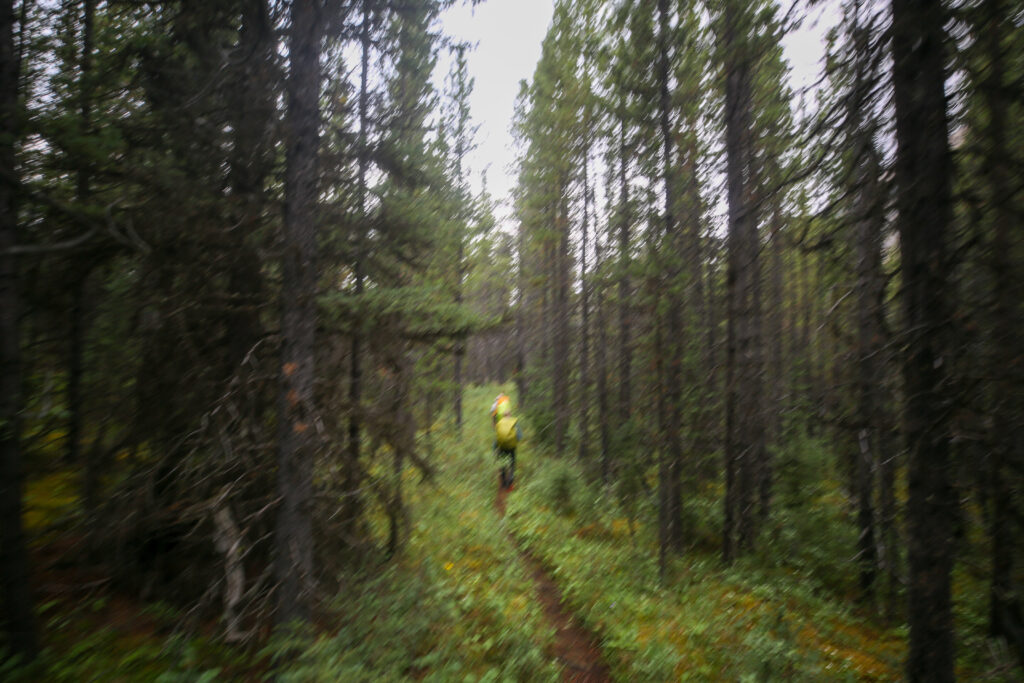
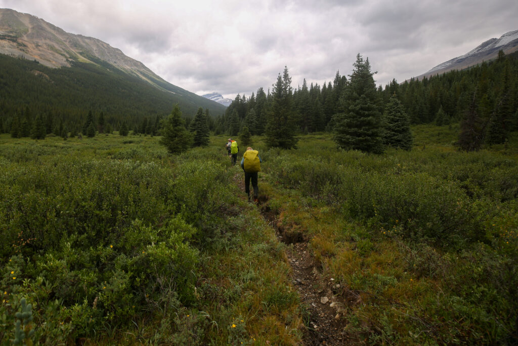
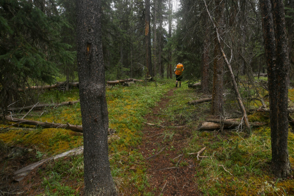
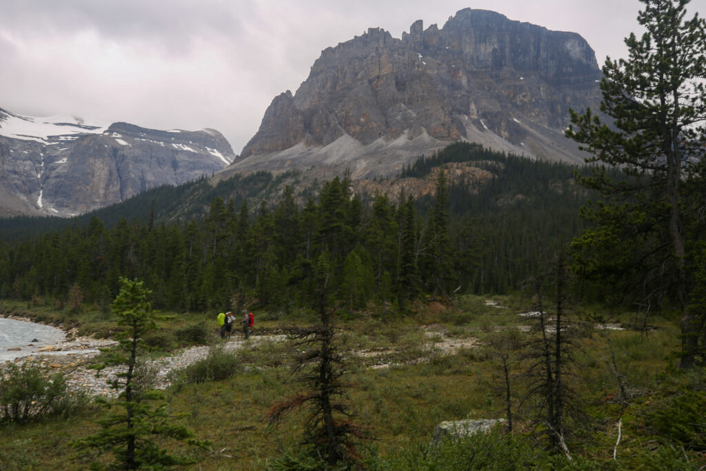
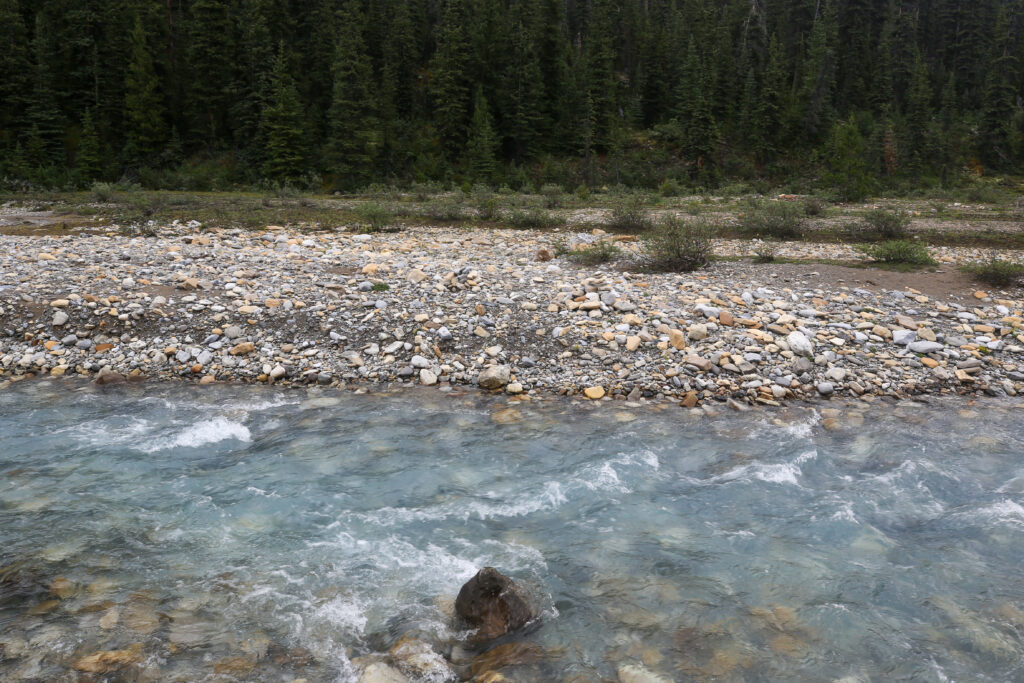
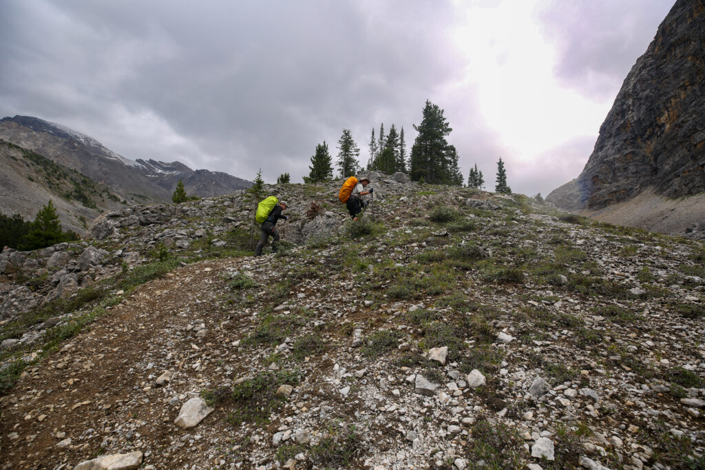
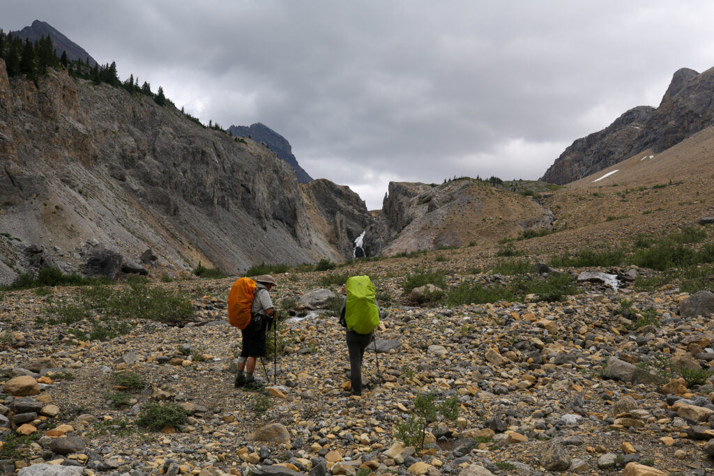
The trail through the trees was quite enjoyable. The trail suddenly went steeply downhill and quickly thereafter we found ourselves gazing across Dolomite Creek. It was 9:50 am and we had covered a little over 7 km from camp. We knew from the one video we had watched that this was a doable but challenging crossing. I left the crossing to Micah to figure out. Micah had spent 50 plus days hiking the Te Araroa in New Zealand and had done many a stream crossing. I wandered up stream to see if I could find a calmer spot in the river. I felt I found a good place to cross but before I could call to anyone the group had settled on a route and were calling me back.


I was a little late getting to the crossing spot and did not see how the rest of the group had entered the river. I had lots of coaching from the other side and to be quite honest the crossing was somewhat anticlimactic.
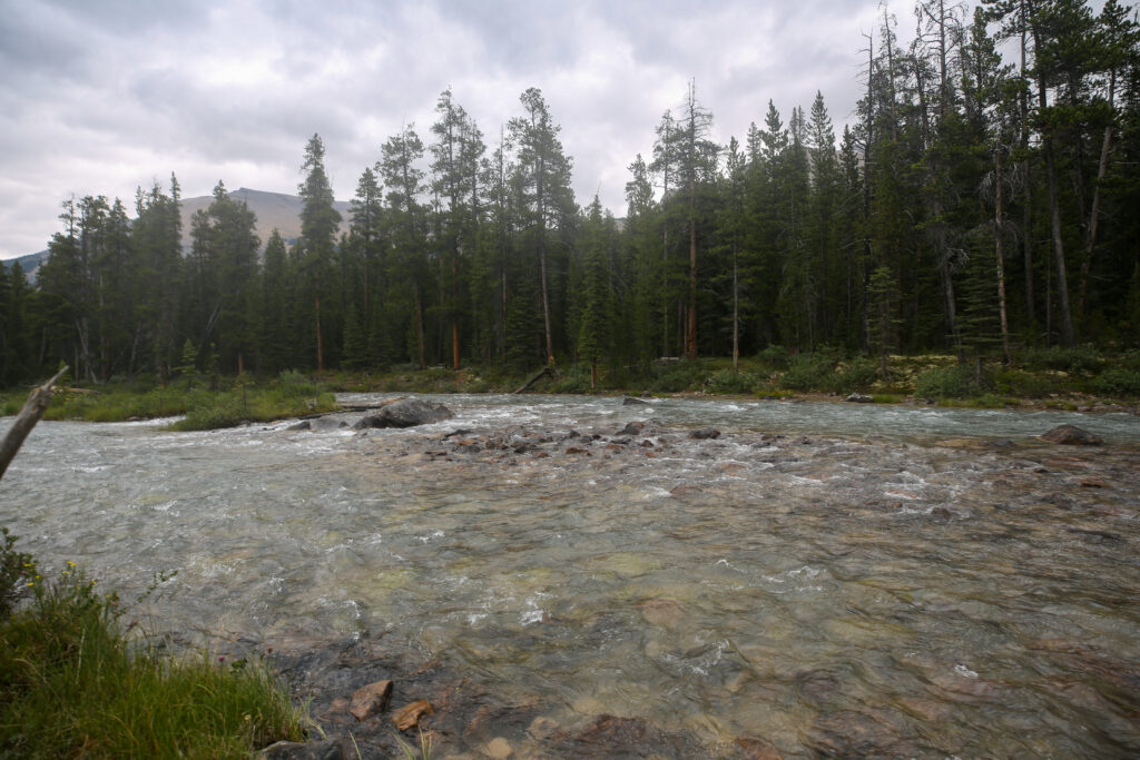
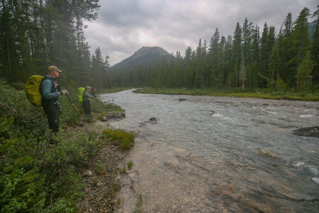
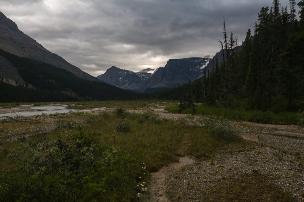
With our goal today only around 16 or 17 km we were left with a little over 10 km to go and it was only 10 am. I found it interesting that when the Siffleur River meets Dolomite Creek just a few kilometres downstream the merged river is known as the Siffleur River despite the fact that the Siffleur River is smaller by volume than Dolomite Creek. I did not actually measure the volume flow but compared the difficulty of the two crossings that we just completed of each river. Dolomite Creek was easiily a much more difficult and longer crossing. What I found when researching is that there are several characteristics, volume, size of watershed, length and the Strahler number (a quantitative value representing the branching complexity for both mathematical trees and rivers) but there is no universal rule for determining the main branch. So sometime in the pass someone just decided to give the combined river the name Siffleur.


I had a bit of intel on the hike out from Isabella Lake from an old timer I had met on the trails around Canmore. The guy may have been old but he was as hard core as them come. He told me still would drive out to the Helen Lake TH parking lot and sleep in his jeep until 3 am. Then hike past Helen Lake, over Dolomite Pass and down to Isabella Lake to go fishing. He would then hike out back to the car and have the fish on the bbq by 8 pm! He said he still did the trip two or three times a year. I was not thinking about hiking anywhere near Isabella Lake when I spoke with him but now that I was at Isabella Lake I remembered him talking about the challenging hike out. He said that the area around Isabella Lake was boggy and the trail was very poor making for a difficult hike out. He went to say he had tried to flag a trail out from lake through the forest to make it easier for others who were hiking out from the lake. Unfortunately I had forgotten the last bit.


While I had forgotten that the old timer had said he had flagged a trail in the woods but luckily Bent rescued the crew by suggesting maybe we could walk alone the riverbank and at least be out of the water. As soon as we made it to the riverbank we spied a lightly used but distinct trail with intermittent flagging. Time to dry the feet out and make some headway up the trail.


We had only spent about 13 minutes hiking through the water followed by another 10 minutes hiking along the riverbank. So it only really took us about 25 minutes of slogging to find ourselves back on good firm trail. We were hiking at the end of July so early in the season with higher water levels there may be more time spent riverbank hiking.
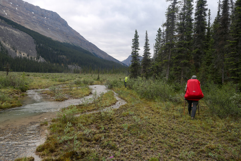


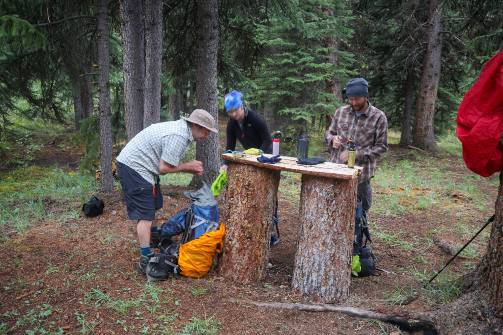
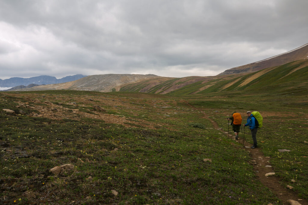
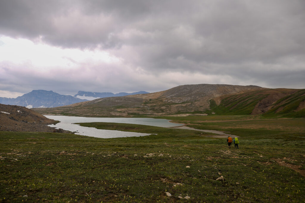
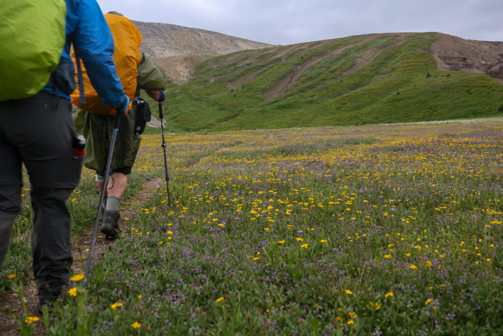
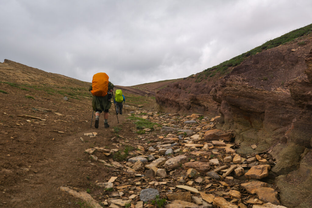
In the past I had received some pointed comments from people for taking too many photos of the backsides of people while on trail. So a few times on the hike I asked nicely and Micah would turn around for me to add some humanity to the photo.


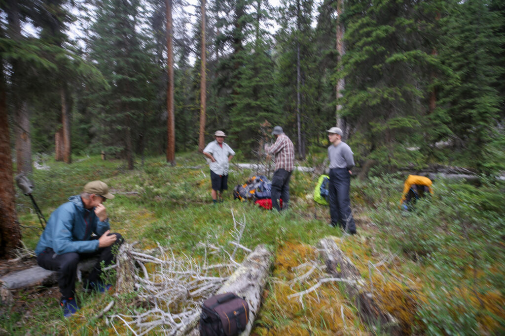
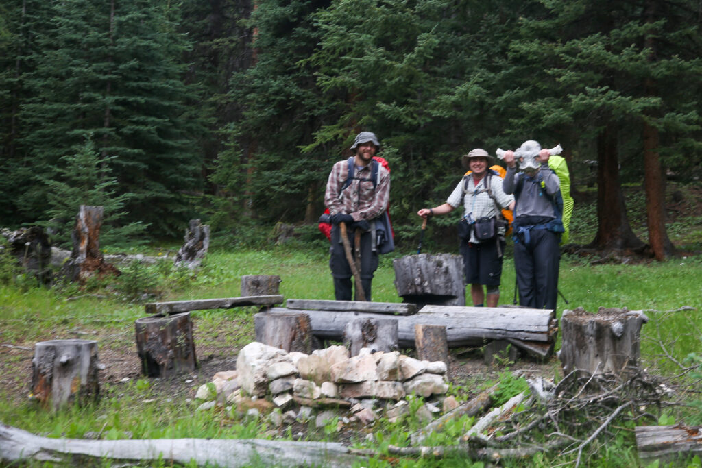
At lunch we had hiked 15 km in under 5 hrs since leaving camp. With breaks this was consistent with my usual pace of 3 km/h when backpacking. Lunch was a pleasant break but under the bleak skies no one was in the mood to linger so after 35 minutes we packed up and headed back onto the trail.

I worked very hard and almost ran to catch up to the other three. When I came over a rise and spotted them talking I felt quite good about myself and my pace. Then I looked back and Bent was right behind me. Bent is a good ten plus years older than me but he still moves better down a trail than most people.
The crossing took us to the Confluence Camp. This was actually our planned destination for the day. With it being only 2 pm and cloudy out stopping and setting up camp was not going to be a popular option. From Siffleur CG it was 34 km to the car at the Helen Lake TH. We had now covered 17 km in 6 hrs including lunch. It was not really that far to the car given the time except that we had 10 km of uphill which included 750 m of elevation. The day so far was mostly flat and actually a little downhill.


We had a very brief, maybe should have been longer, meeting to discuss our options. Jordan wanted to continue onto the car. He felt good and had the legs, he wanted to stay dry and it currently was not raining. We did decide that no one should hike alone so Bent offered also hike out to the car. Anfin was struggling with sore knees but If any of us had any question about Anfin’s intent it was immediately clear when they just started hiking up the trail. Jordan grabbed the car keys from me and he and Bent quickly moved onto the trail and disappeared from sight. I slotted in behind Micah who was letting Anfin set the pace as we silently walked up the trail leaving the Confluence Camp and making our way to the car.


Since we were going to be on trail for a while Micah informed me they were going to ramble on about Physics and Math. I am one of the few people who enjoy the topics which allows Micah to release their inner geek. One of the topics that came up was set theory which highlighted how Math is based on very strict rules which have to be strictly adhered to.


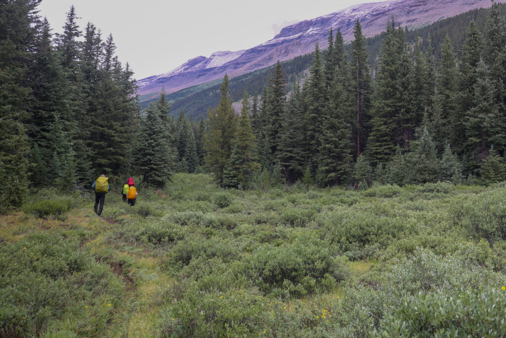
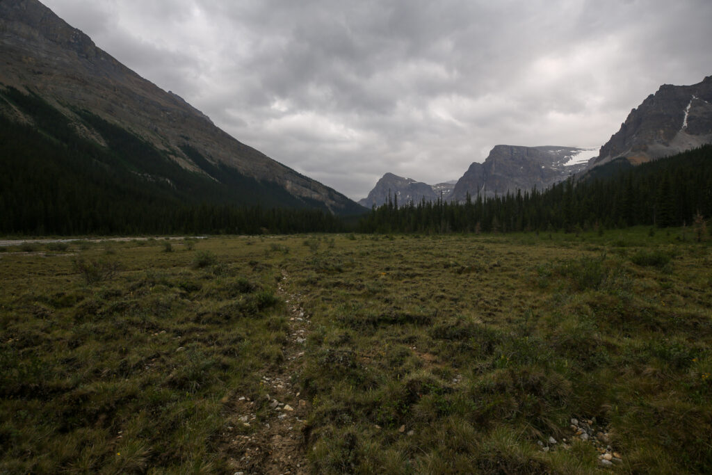
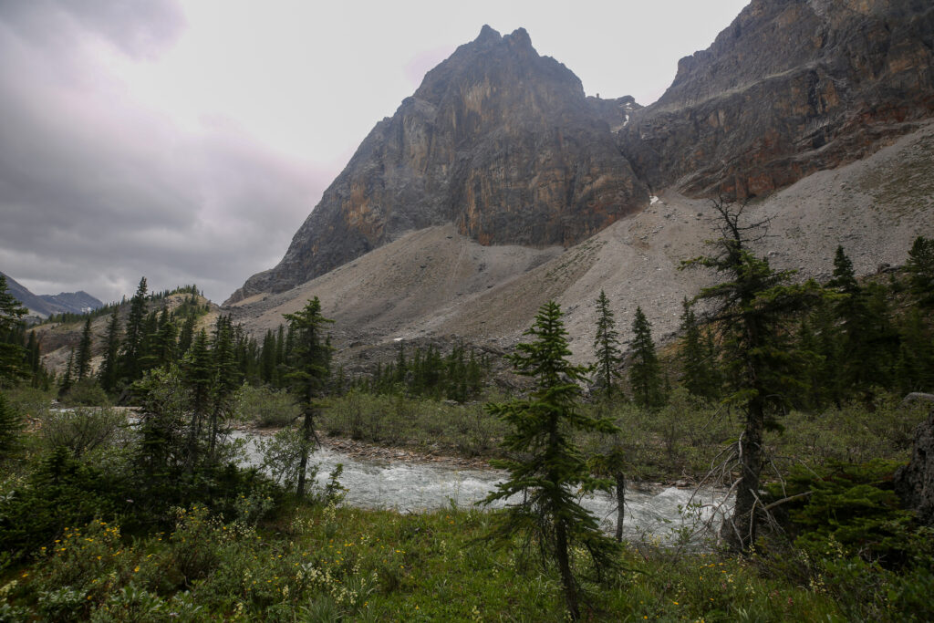
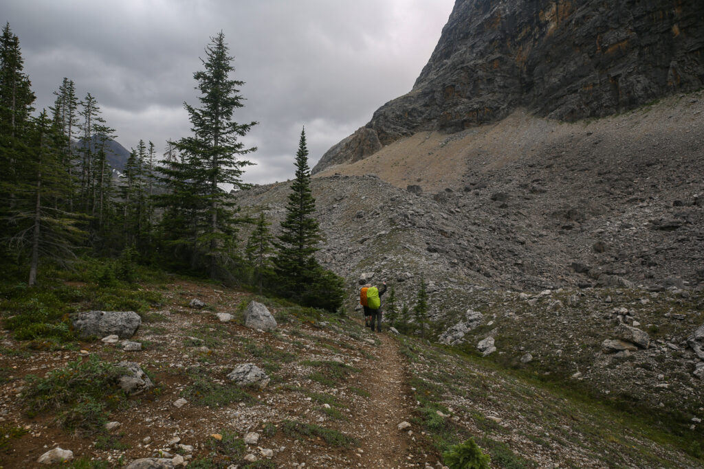
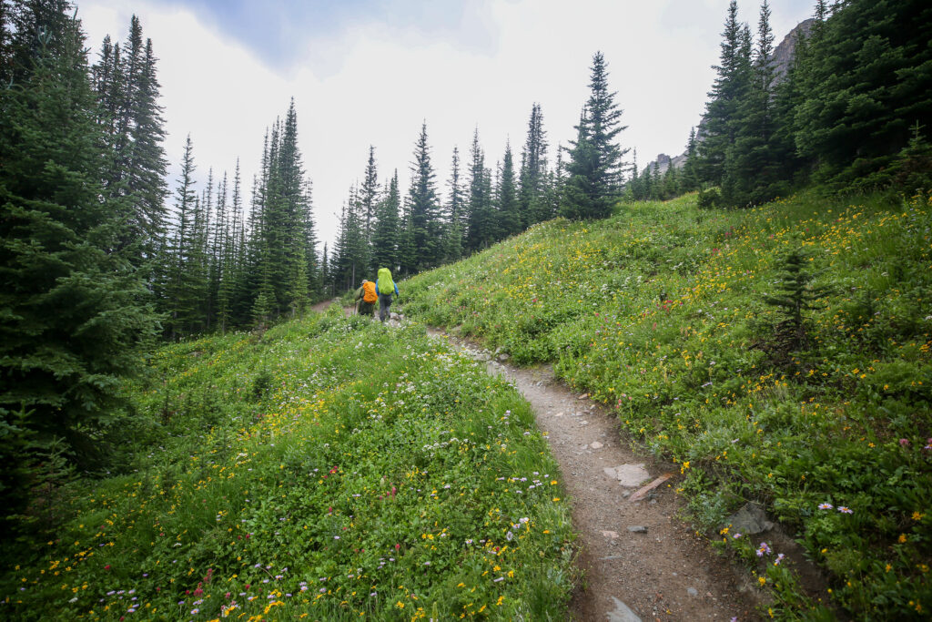
There were several nice camping spots along the trail that would have been ideal if the weather had of been nicer.

We actually set a pretty steady pace up the hill. My concern was never could we get back to the car but what the weather would do and the few minutes we would be exposed as we went over Dolomite Pass and then the high point on the ridge above Helen Lake. I knew we had enough gear to stay dry in any weather but I was not keen on being exposed in inclement weather. My feelings may have had something to do with a particular ridge in Corsica where Micah and I experienced a particular weather event that seems to of had left a lasting impression on me.

The hike was a bit of balancing act. As long as you are moving you will get to where you are going in a descent time. Stopping is what can really add time to a day. A 5 minute break can easily turn into 20 minutes adding multiple stops and the time spent not moving can quickly add up. But on a long day resting the muscles and giving them a break is necessity. We did a pretty good job of stopping for a few minutes but not letting the breaks get out of hand but thinking back I actually think we should have taken a couple sit down breaks. For the most part we kept moving forward methodically chewing up the miles. We did average about 2.8 km/h between Confluence Camp and the high point above Helen Lake, a distance of 10.7 km with an elevation gain just shy of 700 m which I feel looking back was a pretty respectable pace.


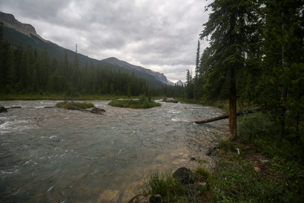
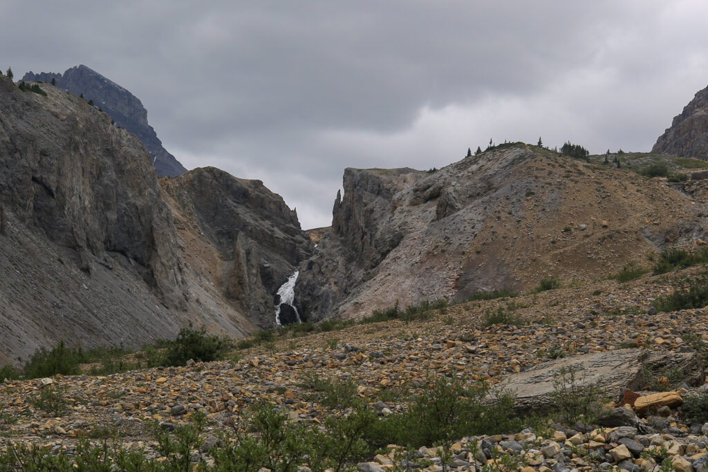
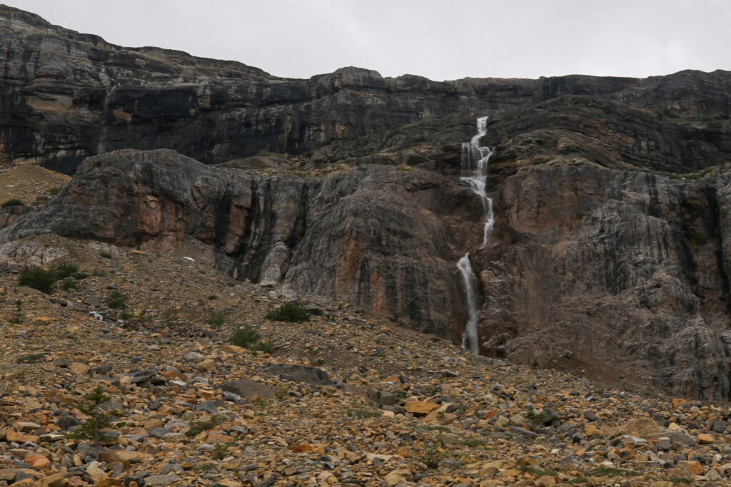
As we came into the valley we had a little debate about whether the white line in the distance was water or snow. Micah voted for snow while Anfin and I leaned towards water. It was an energetic waterfall.


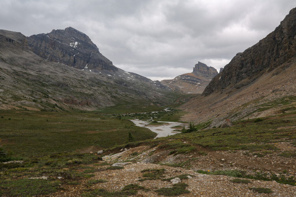


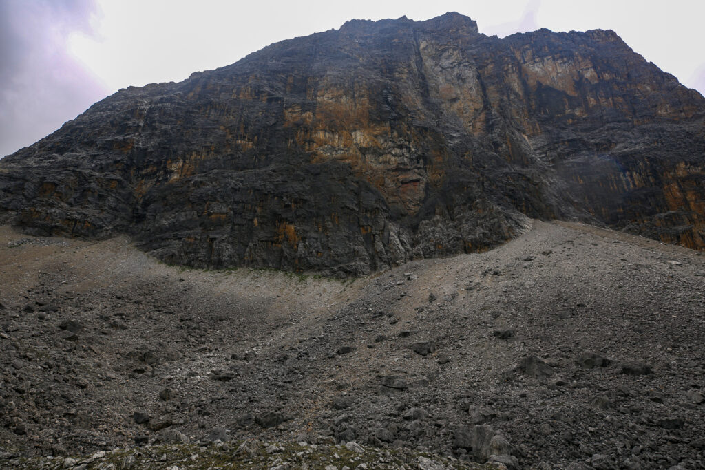
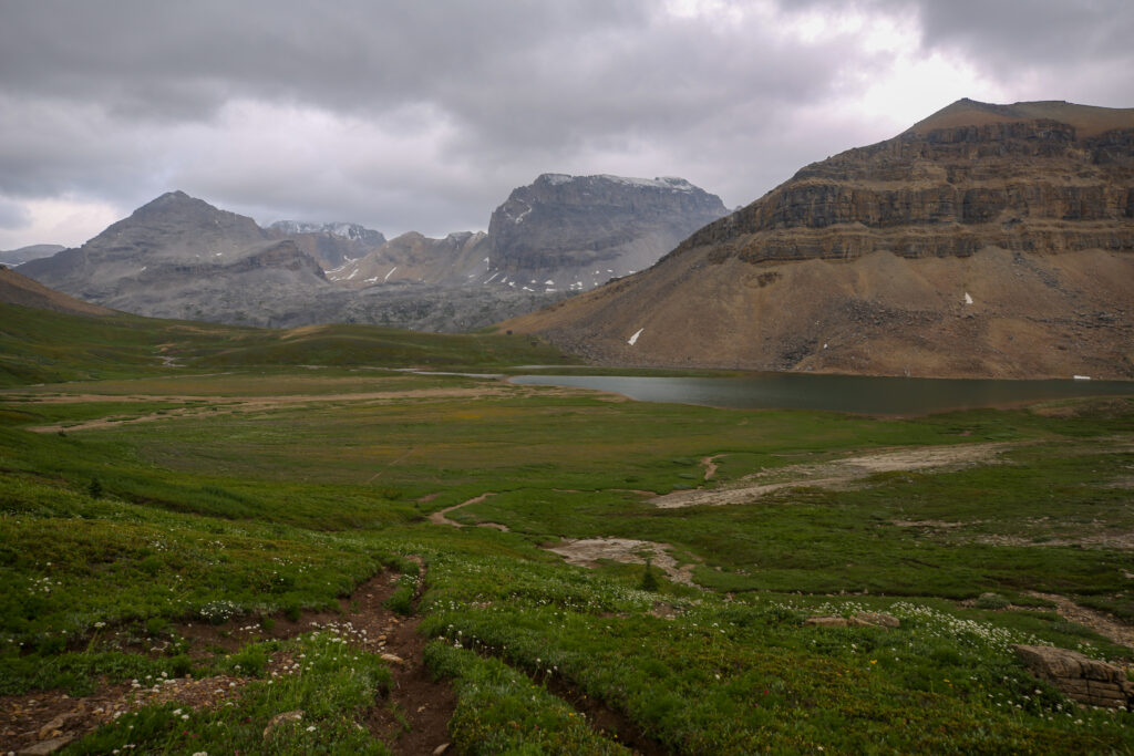
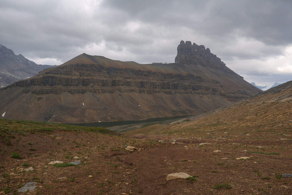
Dolomite pass is not what you would think of as a typical mountain pass. There is no sharp up and down but a lake, Katherine Lake. A pass is defined as a low point connecting two mountains which describes Dolomite Pass perfectly as it connects both Dolomite Peak and Cirque Peak. It is a beautiful wide open space and that on a sunny summer’s day begs a person to stop and just absorb the awesome mountain setting. Alas on this trip it was not sunny and we had a little more climbing to do to gain the top of the headwall above Helen Lake before we could start the descent down to the car. So we did not stop.
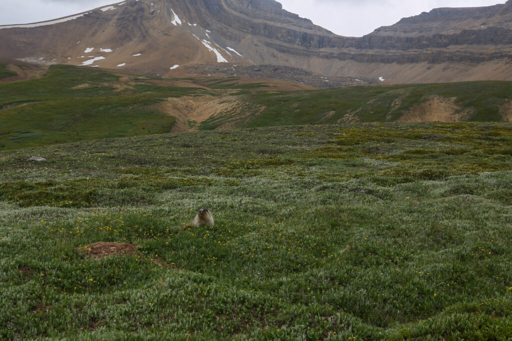
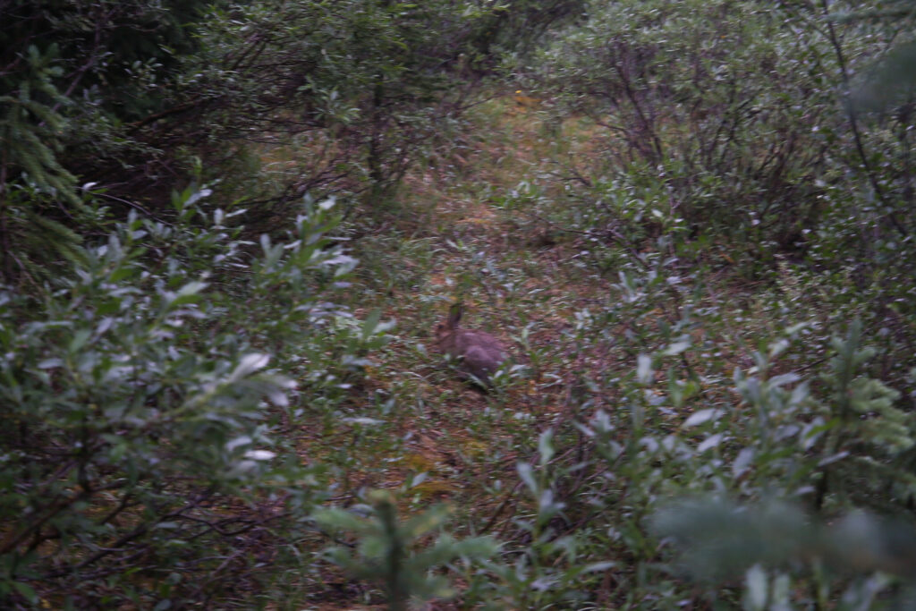
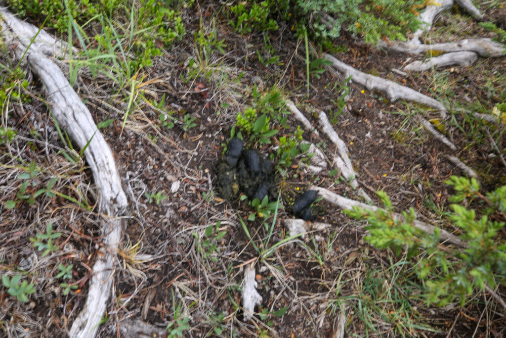
Spotting the marmot made Micah very happy. They love all soft furry animals but they are fascinated with marmots because they are quite formless in their words “they have no shape”.


We crested the headwall to Helen Lake at 6 pm. I was feeling a lot of relief to be looking down on Helen Lake. Now even if the weather went sideways I knew that we were going to make it back to the car. It was just a matter of time. We had hiked 10 km since Confluence Camp and had 1 km left to Helen Lake before a rooty 6 km downhill hike to the car. The weather had held as we hiked past the high point for the day and we took some time to appreciate the view. But not too much time.
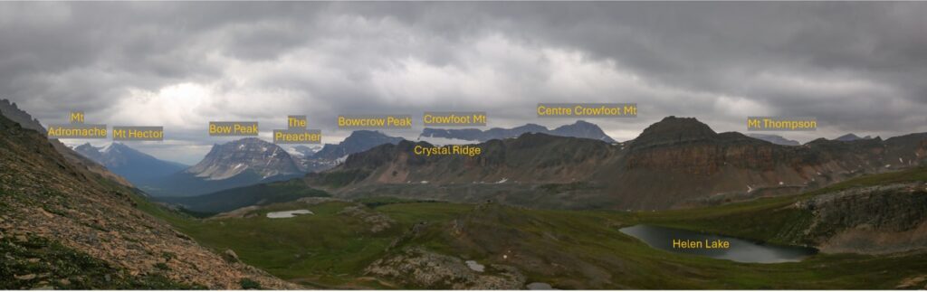
Apparently on a clear day you can see Mt Assiniboine in the gap between Mt Hector and Bow Peak.


The trail down the headwall was quite steep but was easy to negotiate and quickly we found ourselves at the base of the wall. It was now a little after 6 pm and we had not stopped for any appreciable time in several hours. I hustled to the end of the lake and dropped my pack in the shelter of some rocks to have a snack.

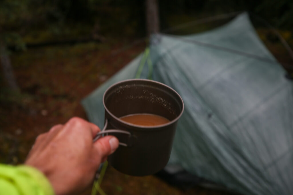
While dinner would have been appreciated I had lots of snacks at the ready since we were leaving the trail a day early. I woofed down a lump of Logan Bread (breakfast) and a Latte Bar (snack) and shared the last of my Maltesers with Micah and Anfin. Our stop lasted only about 10 minutes. It really was not very pleasant hanging out by the lake with the wind wiping snow pellets at us and we did have 6 km left to finish the trip. It was 6:30 pm when we said goodbye to Helen Lake and started the last leg of our journey.

The hike out Helen Lake is just a long downhill walk mostly in the woods so I was not expecting any sort of excitement. The trail was actually quite rough with roots and rocks littering the path. Jordan surprised us when we met him coming up the trail with about 45 minutes left in our hike. He and Bent had finished the hike around 6pm. They then went and picked up the bike from the Mosquito Creek Trailhead. Since they still had time they drove down to Lake Louise into cell service to see if I had sent any messages from the SPOT. They said later that they had half expected us to stop and camp for the night.

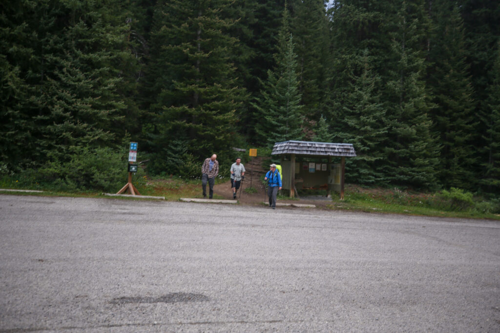
I arrived back a the car at 8:45 pm which was just a shade under 13 hours after we had left Siffleur CG. It felt good to see the Flex.

I sent the SPOT message from the parking lot to let people know where we were. I had been sending periodic SPOT messages during the day hoping people, namely Laura, would notice that the locations of the messages was changing and we were making our way back to the trailhead. Laura admitted that she received the messages but did not open them so had not realized that the locations were changing. I decided against sending an email with an explanation of our plans because with the SPOT it can take a few minutes to send an email while the preset messages go almost immediately.
Once back in the car the gang was all hyped up to go out for a post hike meal. I was not overly hyped as I figured we would not get back to Canmore until at least 10:30 pm if not later. We settled on going to A&W in Banff for dinner. The burgers were greasy and warm but it sure was a poor substitute for our usual post hike burger. I dropped Jordan, Anfin and Micah off and we agreed to meet for brunch the following day to discuss our upcoming trip on the Sawback. My place was overrun with house guests and there was no room for Bent to stay in the trailer as that was where Laura, Margaux and I were sleeping. There was no room for Bent as we were not suppose to be in town as we should have been halfway through our hike on the Jasper South Boundary Trail. I dropped Bent off with Ken and Katherine. Ken is a fellow teacher and has been on quite a few hikes with me including the Sawback just about three weeks earlier. After spending the evening with Bent Katherine told me Ken would only be allowed to go on the group hike next year if Bent stayed with them! I guess Bent left a good impression. Margaux was thrilled to see me and tried to give me a shower with her tongue. Laura was mostly asleep and gave just a little hello. It was now time for me to have a proper shower before heading to bed in our trailer. As my head hit the pillow I was very happy and relieved. It was the end of a mentally exhausting trip and I had one day off before doing it all over again. Coming up Sawback 2.0.