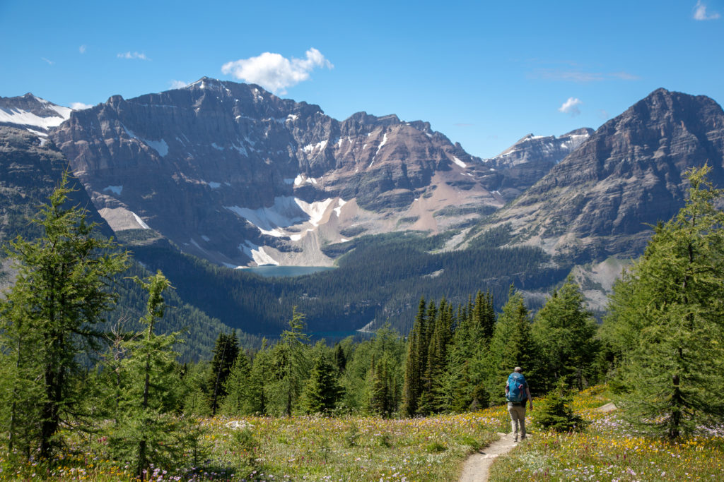
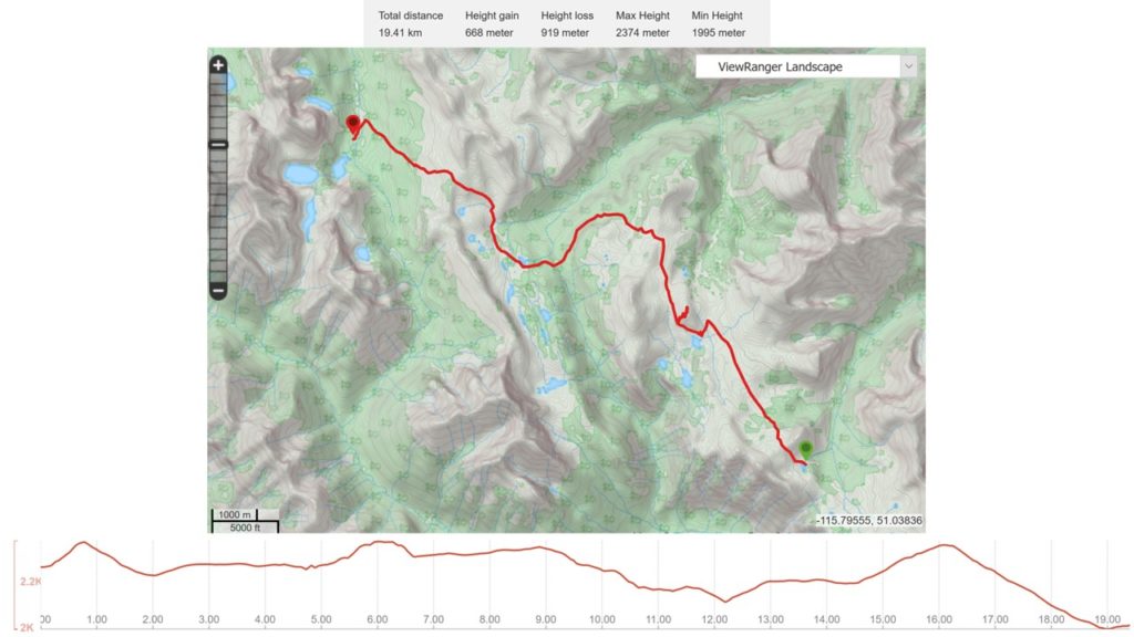
August 16th, Howard-Douglas CG to Egypt Lake CG, 19 km, 597 m elevation gain, 859 m elevation loss, 6 hrs 55 min (all distances and elevation are as per the guide book), Section C Segment 17 and 18.
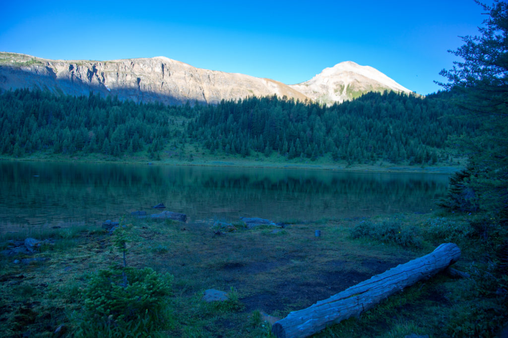
Camp was quiet as I got out of the tent to make breakfast. The morning at Howard-Douglas was beautiful with blue skies above a lovely mirror smooth lake.
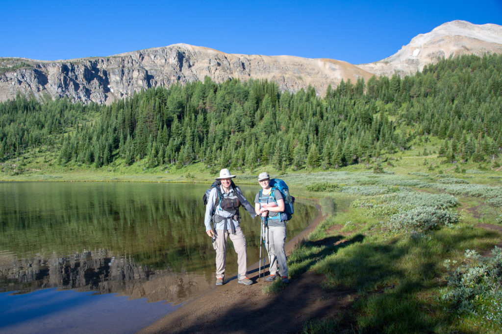
I had the water boiling just after 7:30 am. We silently had our breakfast while taking down camp to not disturb our neighbours. The campground at Howard-Douglas is constrained in a very small clearing with minimal privacy. As we got ready to head out just before 8:30am one of the older folks saw me taking a picture of Micah by the lake so they offered to take a picture of the two of us, which was appreciated.
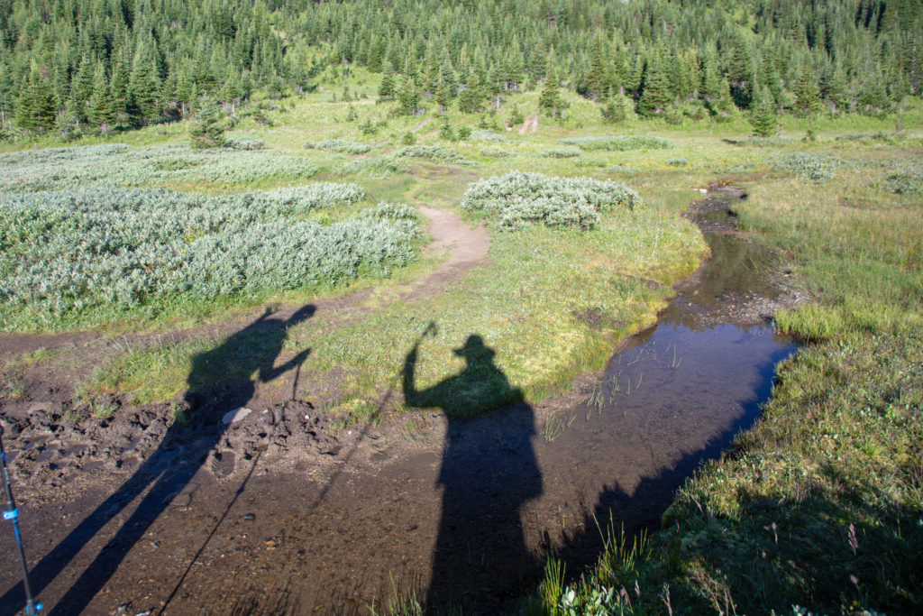
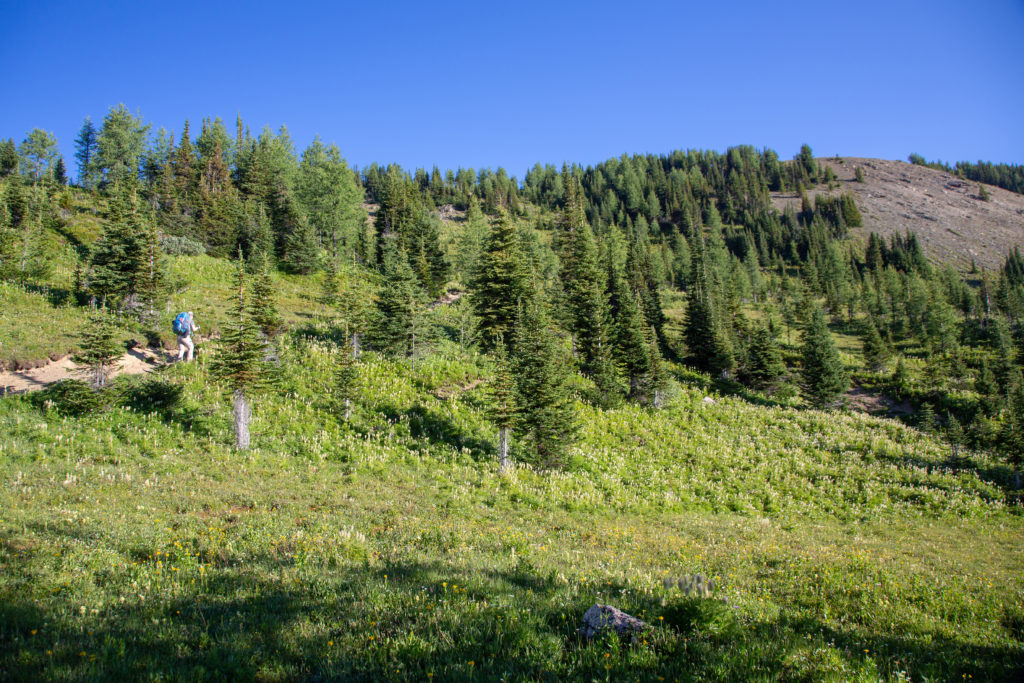
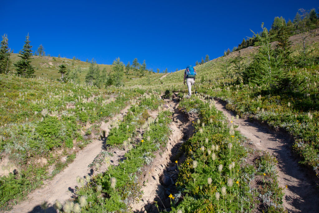
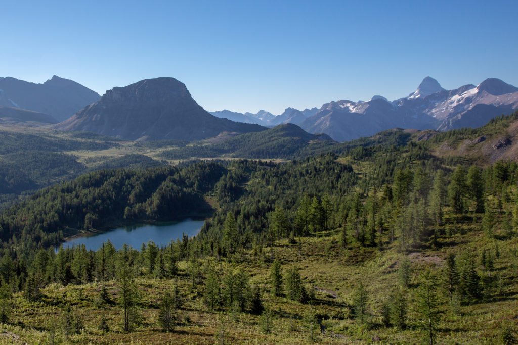
This would be a lumpy day with almost 900 m of elevation gain but no single climb over 200 m. The climbing started immediately after leaving the lake up a very braided and washed out trail. The trail heads up towards the east ridge of Quartz Hill gaining 110 m in less than 1 km. While not overly steep the quick rise immediately captured our attention. We arrived at the ridge in 15 minutes and looking back were treated to an amazing view of the lake with Citadel Peak in the background and, far in the distance, Mt Assiniboine. Looking forward, we could see Mt Ball in the distance on the horizon where we would have lunch tomorrow.
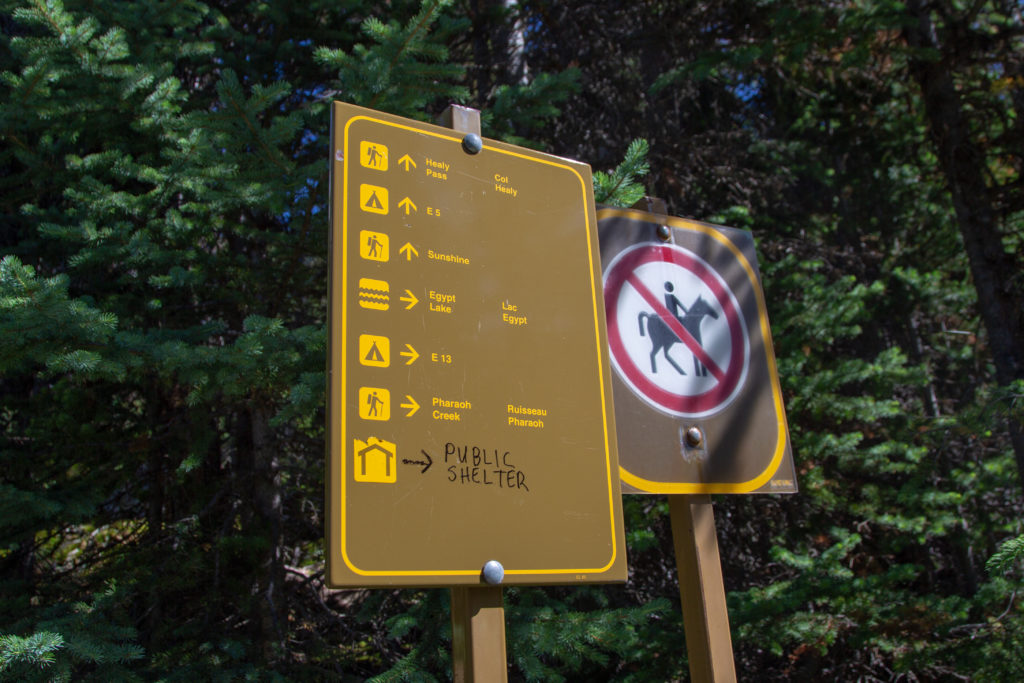
Also at the top of the ridge we found a junction for a trail leading west up to the peak of Quartz Hill or east to a lookout. A new sign erected by Parks Canada advised us that the trails were a no go. There are similar instructions at Healy Pass for a trail that would take you to the Monarch Ramparts.

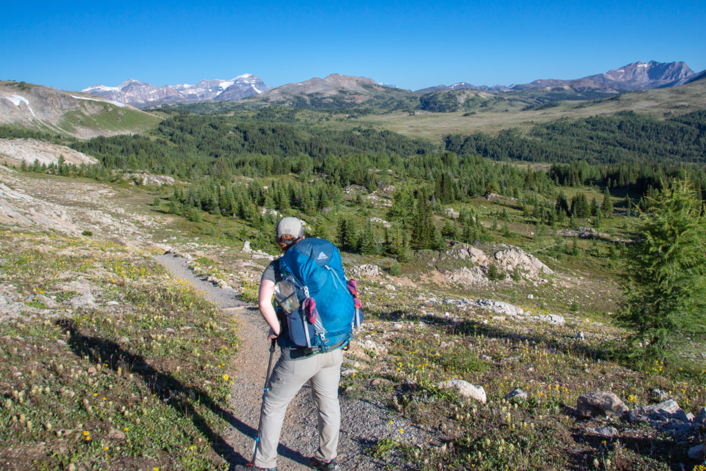
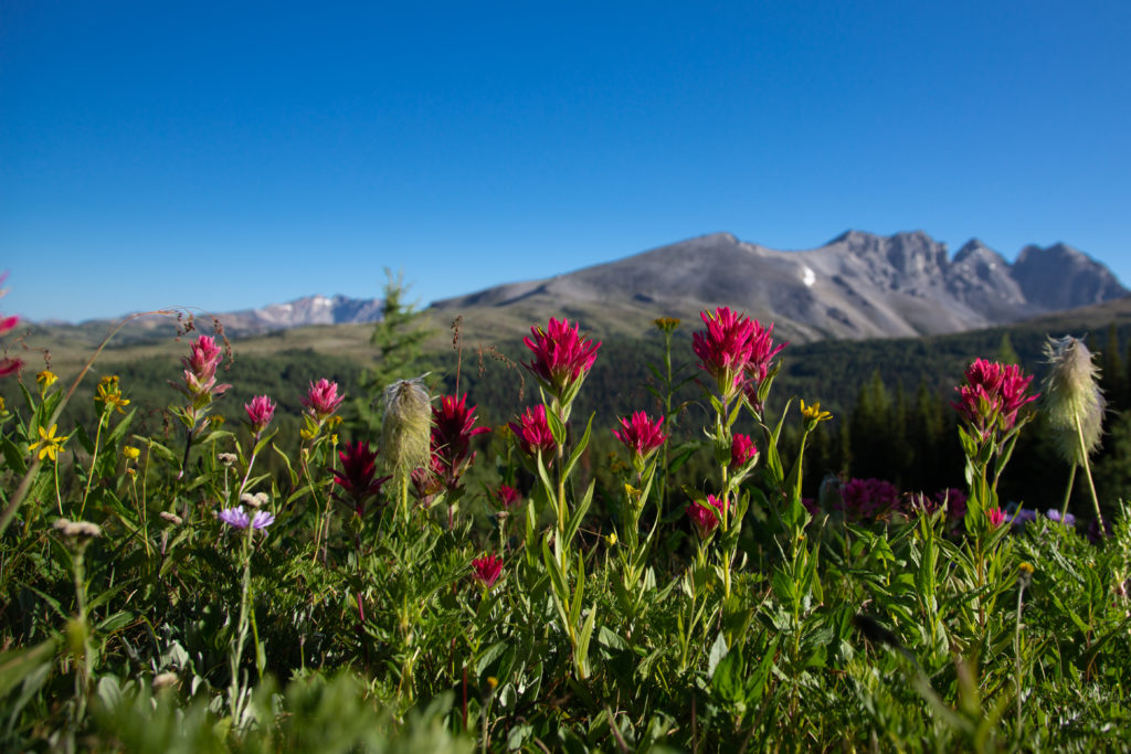
It was an easy 4 km walk to Rock Isle Lake. The flowers were out, giving us some colour along the way. Near the junction for Rock Isle Lake we met a trio heading out towards Howard-Douglas who were GDT enthusiasts. The older couple were trail angels who regular take in GDT thru hikers at their home in Banff. The younger woman had thru hiked the GDT last year. We chatted for a good 10 – 15 minutes. The day was beautiful and there did not seem to be much reason to rush. The trails near Sunshine Village are backcountry-highway quality. With all the day hikers coming up the gondola to walk around the area near the ski hill, the trails have been manicured wide and smooth, covered in finely crushed gravel.
Micah’s Note: I was also able to snag a bit of cell service here in order to check my emails–a good thing too, since I had a job offer in my inbox! However, if you need to get some internet on the trail…keep walking a little further.
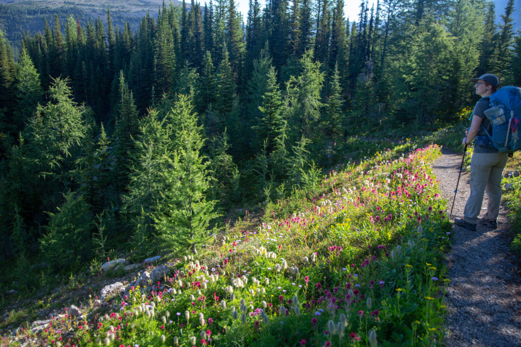
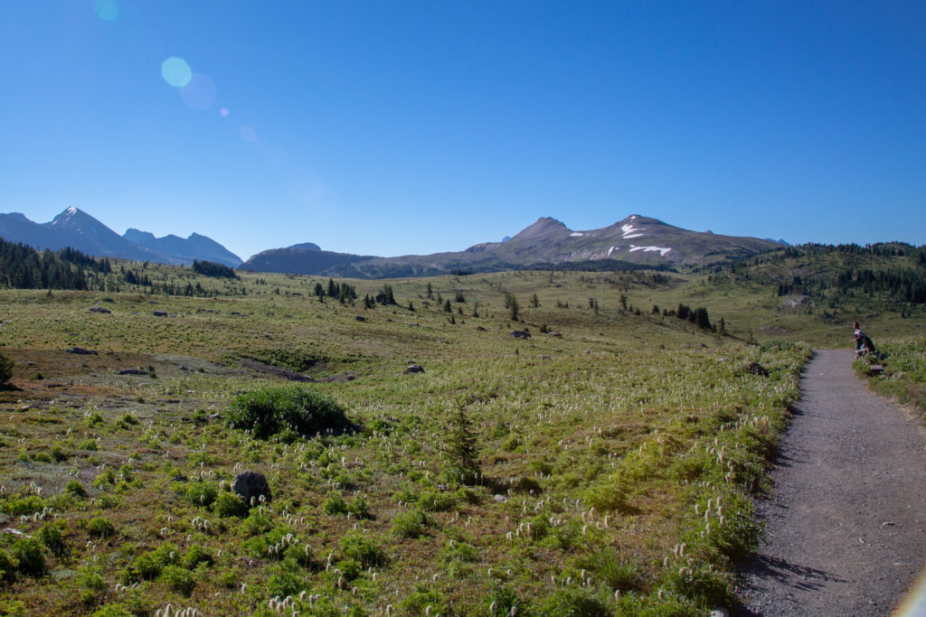
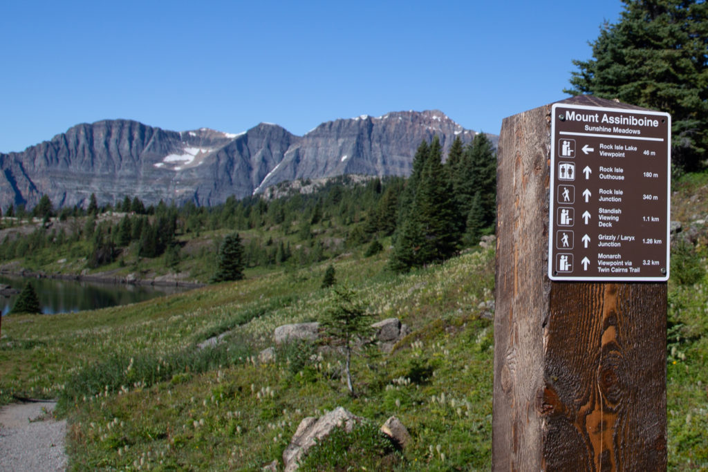
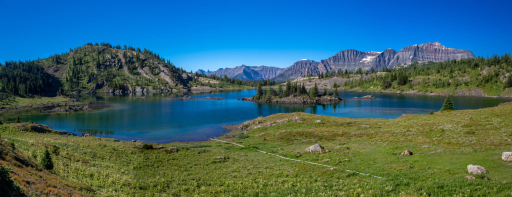
Arriving at Rock Isle Lake we struck up a conversation with a couple we had met back at Lake Magog. They both had on large packs and the guy’s pack bordered on the super massive. He had done a low-altitude hike up on the flanks of Mt Assiniboine with his brother. They must have thought Micah and I knew what we were doing as they asked us all sort of advice about equipment and recommendations on how to cut pack weight. I always get a little uncomfortable when people want advice; I am super happy to chat about gear but to actually give advice on hiking is not something I relish, since what I prioritize as a ‘good’ pack may not be the same for other people. I gave them my stock general piece of advice: make a list of things you carry and review it after your hike. If there are items that you carry and never use, except for safety equipment, then maybe you should review why you carry those items. They seemed happy with our conversation and we headed out on our way. Not really making big progress along the trail at this point, mileage-wise.
Just after leaving Rock Isle Lake we took another excursion going up Mount Standish. This 1 km side trip took us to a lookout that gave a marvelous 360 degree view of the area. After a few minutes taking in the views we headed back down the trail back to the junction with the main trail.
Micah’s Note: Imagine my surprise when we were standing on the platform and I noticed…a wifi symbol! Yes, that’s right, Sunshine had a wifi hotspot set up, presumably powered by the solar panels nearby. I wouldn’t necessarily rely on it, since who knows when/if they might shut it down, but it was a lot faster than the measly bars I’d been able to scrape earlier on the trail.
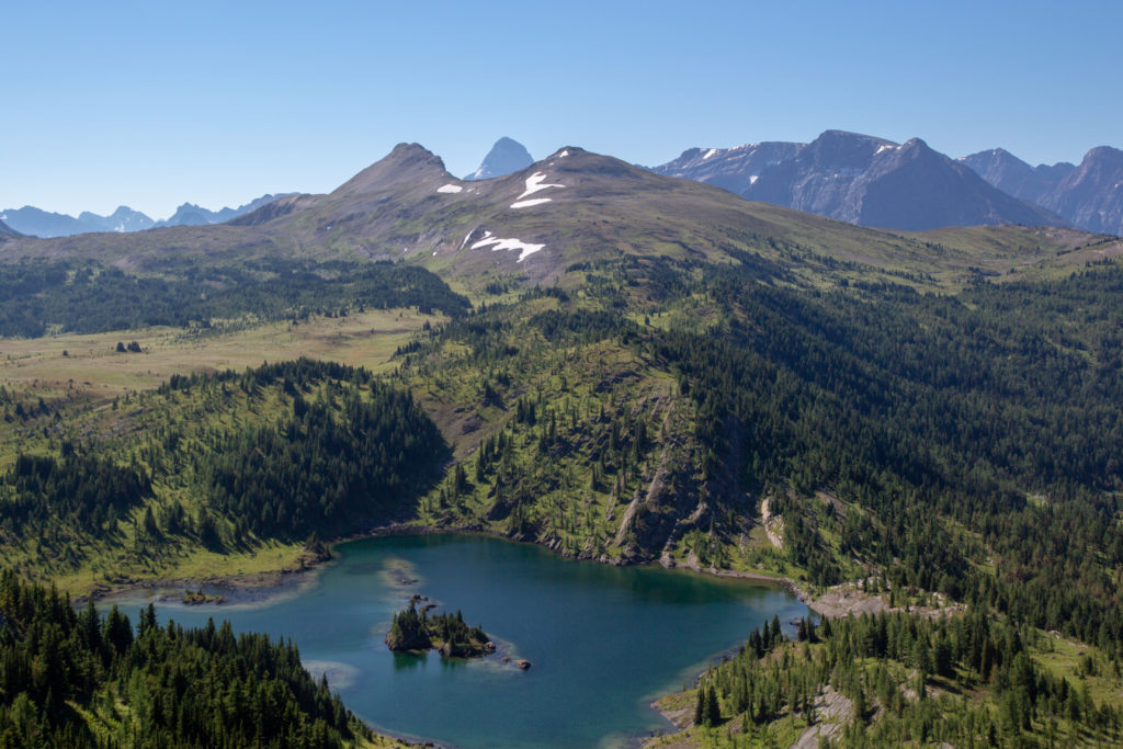
As we followed the valley between Standish Peak and Twin Cairns we walked in an area that could best be described as a subalpine environment. Trees were small and the area was dominated by grassland, with a few marshy areas. Somehow, despite being being only 7 m lower than Healy Pass and the low point connecting two peaks, our high point on Wawa Ridge did not qualify as a pass. This was a shame as this was a very pretty stretch of trail.
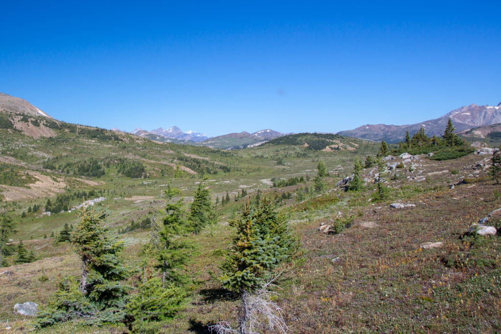

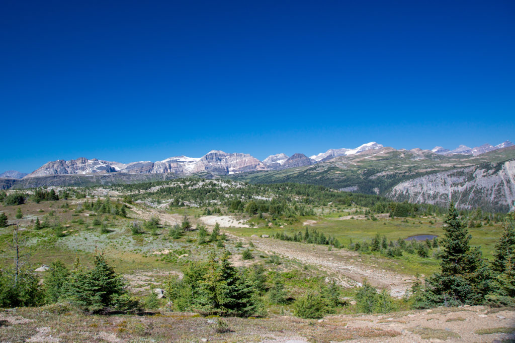
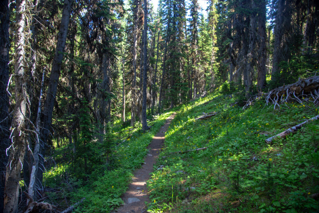
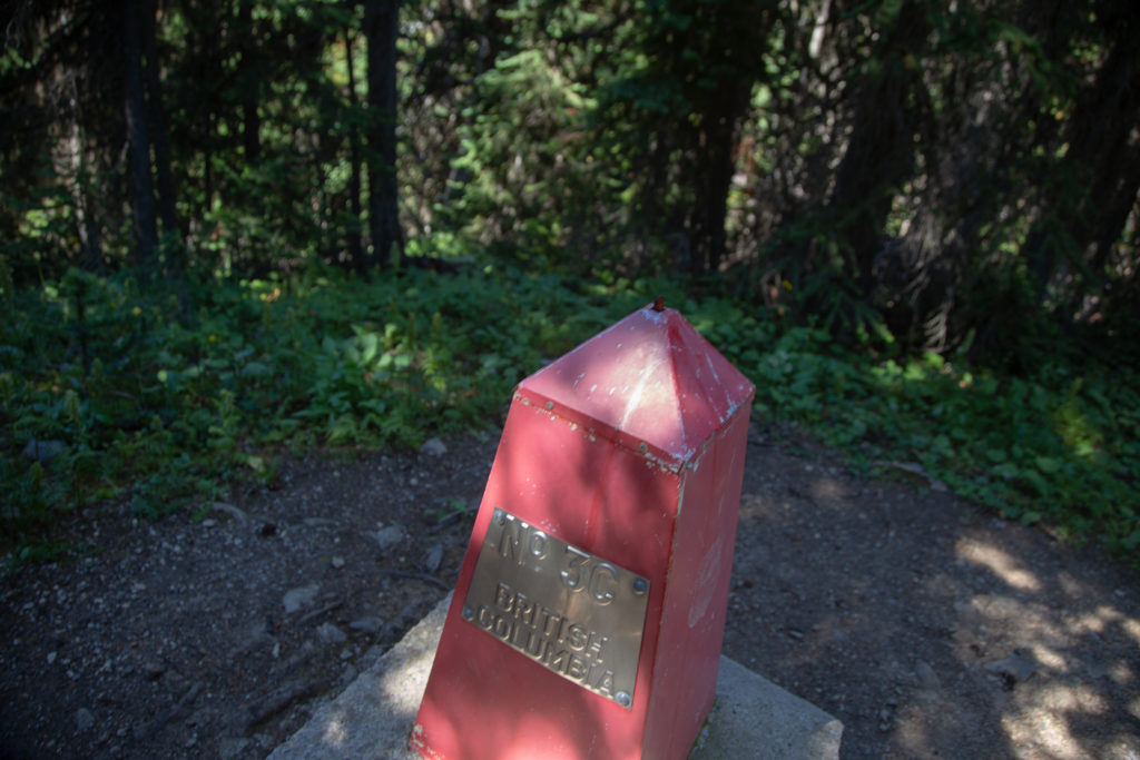
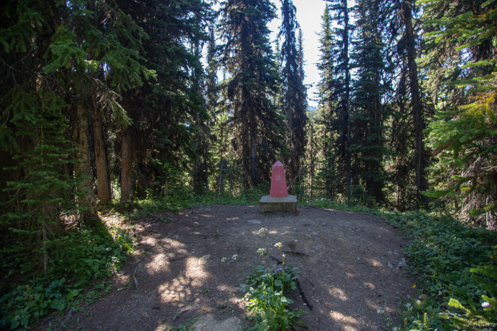
The view from Wawa Ridge was amazing. Descending off the ridge would take us into a wooded walk for the next 4.5 km. As we came off the ridge we passed a group of hikers heading up we nodded a hello but they appeared to be focused on the climb and did not respond. After the non-stop views of the morning the forest walking was a bit of a shock. We kept on and came to a marker indicating the border between Alberta and BC. It was 12:30 pm and we figured this would be a good place for lunch. Unfortunately, the mosquitos agreed, and we ended up wearing our rain gear to ward the little critters off. Needless to say we kept lunch short, heading off at 12:50 pm.
Micah’s Note: And horseflies!
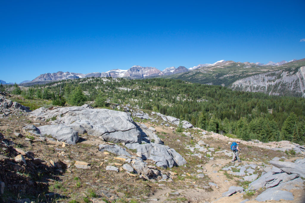
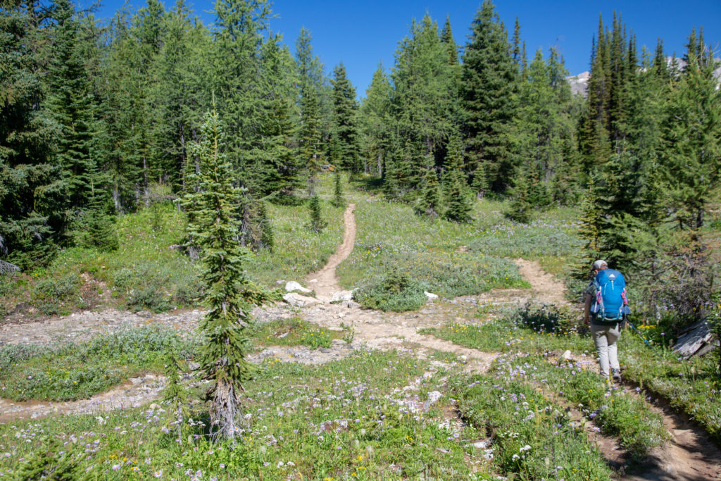


We arrived at Simpson Pass at 1:05 pm. The pass is not really much of a destination. The pass is open and clear of trees, as it is a micro-climate called a frost meadow. A frost meadow is an area where cold air settles and stunts the growth of the trees. The pass is a junction with a short trail back to Healy Creek. There used to be a trail leading into Simpson Valley but the guidebook classifies it as a “dead” trail. While unremarkable looking Simpson Pass is very geographically significant. Water flowing south-east off the pass ends up in the Pacific Ocean while water flowing of the north side into Healy Creek will end up in Hudson Bay. This makes the pass part of the Continental Divide which is what the Great Divide Trail is meant to be following. We continued on from the pass with our next destination being the junction with the Healy Creek trail at the base of Healy Pass about 2.5 km away.
Micah’s Note: I’m so accustomed to passes being things you go up and then down, I was quite surprised to realize Simpson Pass you descend down the ridge to the saddle and then go back up again. I was waiting for an uphill the whole time until we hit the sign for Simpson Pass.
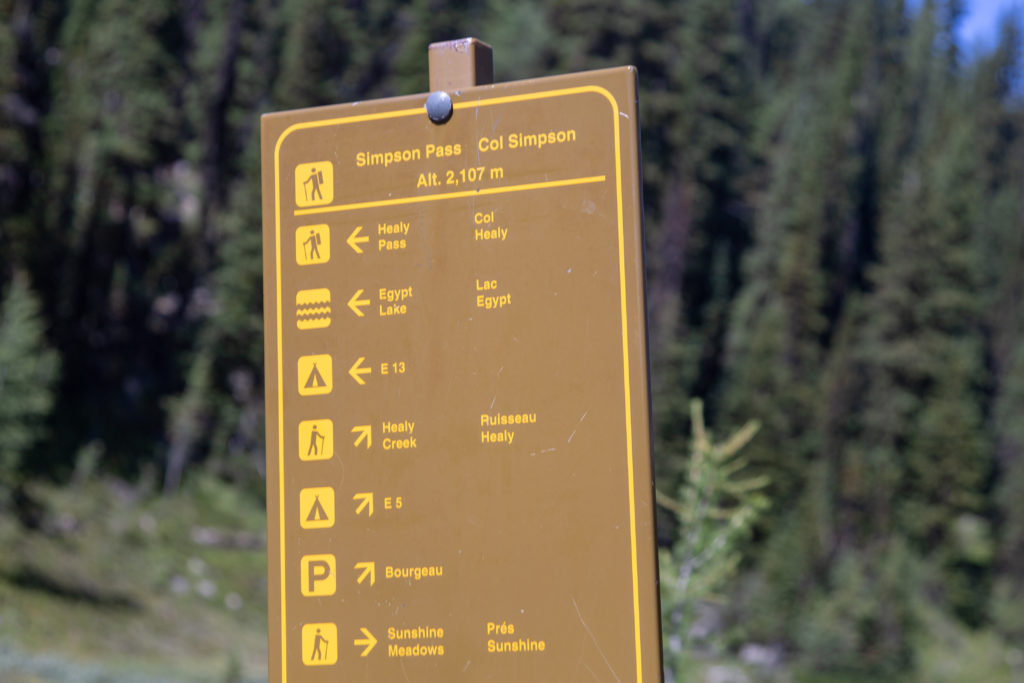
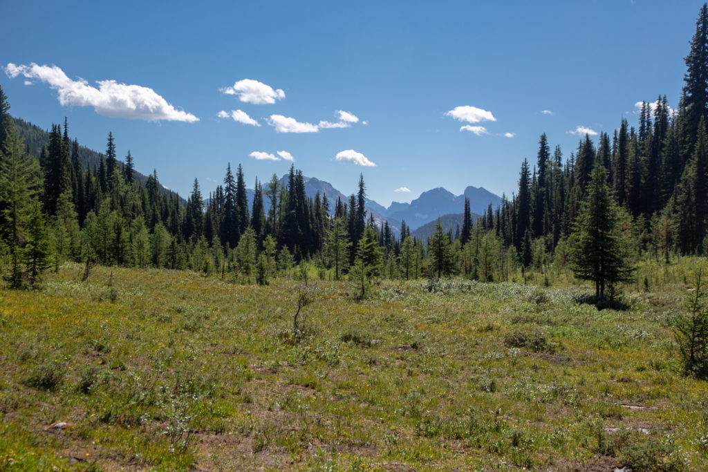
Soon after leaving Simpson Pass we came to a junction with Eohippus Lake. Micah and I visited the lake years before on a little hike through the area. We passed a pretty little pond, then dropped down into Healy Meadows. Healy Meadows combined with the meadows on Healy Pass, Lost Horse Creek, Harvey Pass, Citadel Pass and Sunshine form what is known as Sunshine Meadows. We did not see many people on this section but that would soon change.
Micah’s Note: Also I should note that dad spent quite some time trying to figure out why the lake is called Eohippus Lake, Eohippus being an extinct type of miniature horse-like animal. He couldn’t find the story behind it, so if you know the answer, please satisfy our curiousity and let us know!


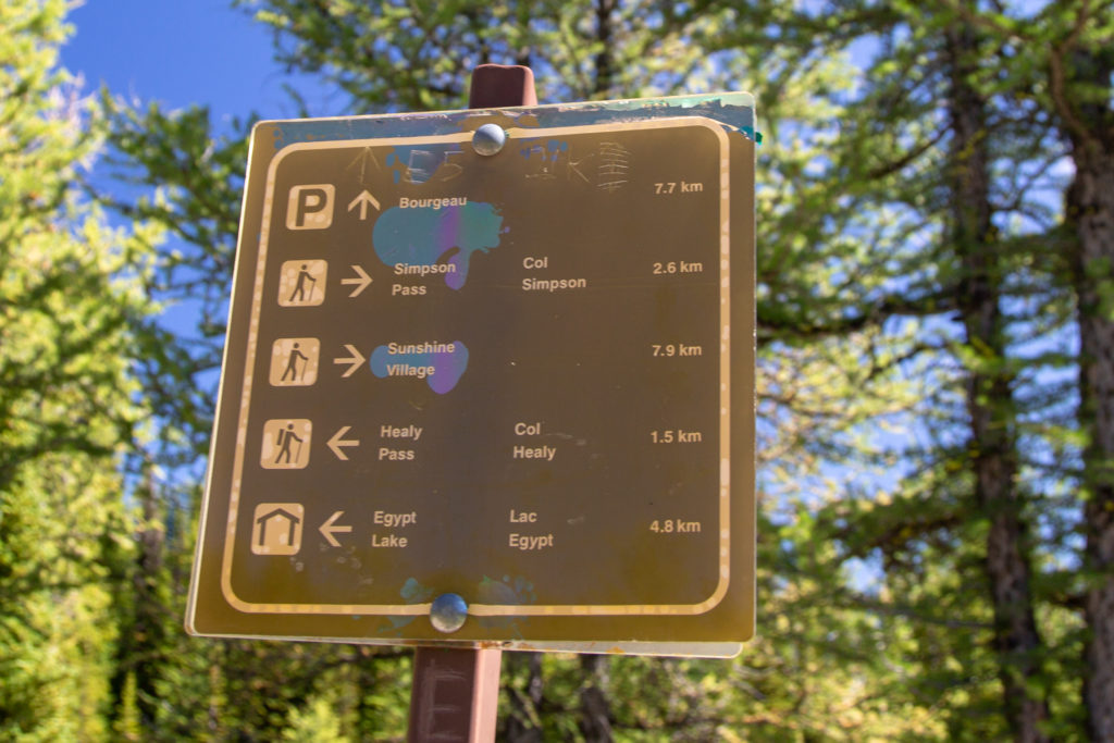
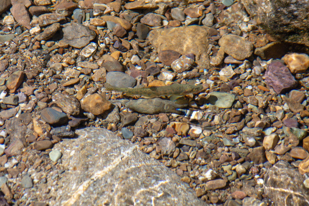
We arrived at the junction with the Healy Creek trail at 1:45 pm. We spotted some small fish swimming in a shallow pool of water in Healy Creek. It was 1.5 km and 160 m of elevation to Healy Pass our biggest climb of the day. Two things happened as we started up to the pass; the number of flowers increased exponentially, as did the number of people. We had only seen about six people since we left Rock Isle Lake. On the trail up to Healy Pass there were bus loads upon bus loads of people. Was difficult to be annoyed at all the people, as the flower display was incredible. It was not yet 2 pm and we only had 4.8 km to go so we were in no rush. We frequently stood aside on the trail attempting to give as much space as possible as groups of 20 or more passed by.
What is interesting to me as a wannabe geologist is that the quartz rocks in the area, part of what is known as the Miette Group, are neo-Proterozoic in age, about 750 million years and are the old the oldest rocks in this part of the Rockies.
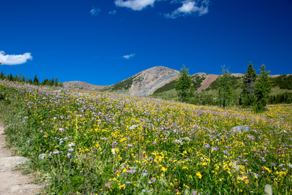
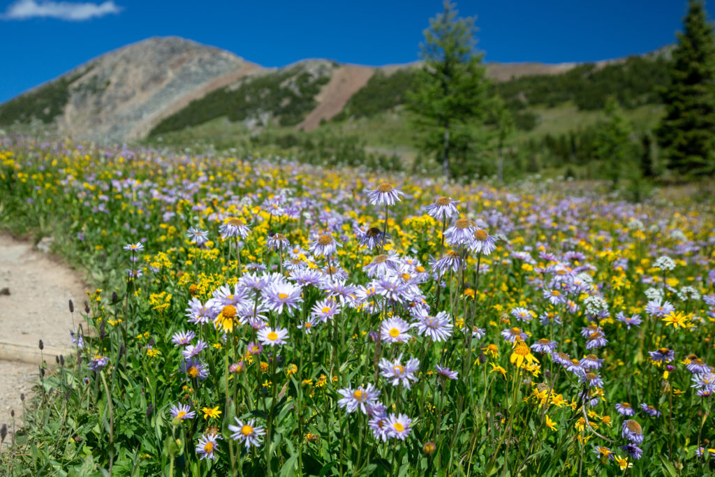


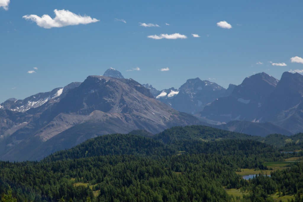
We lingered at the top of Healy Pass for 10 – 15 minutes. I had learned my lesson from yesterday. It was warm out, hard to say it was hot, but my feet were overheating. I aired my feet out while we rested at the pass, then decided to walk the final three km to Egypt Lake CG in my flip flops. I was not very happy at this point and we hiked down to the campground mostly in silence with Micah out front and me hobbling behind.
Micah’s Note: My journal indicates that we did not rest at the pass for long, owing to the horse flies that dad keeps neglecting to mention.
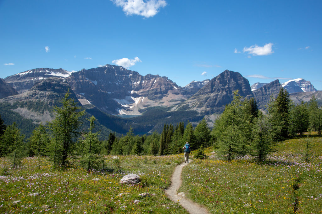
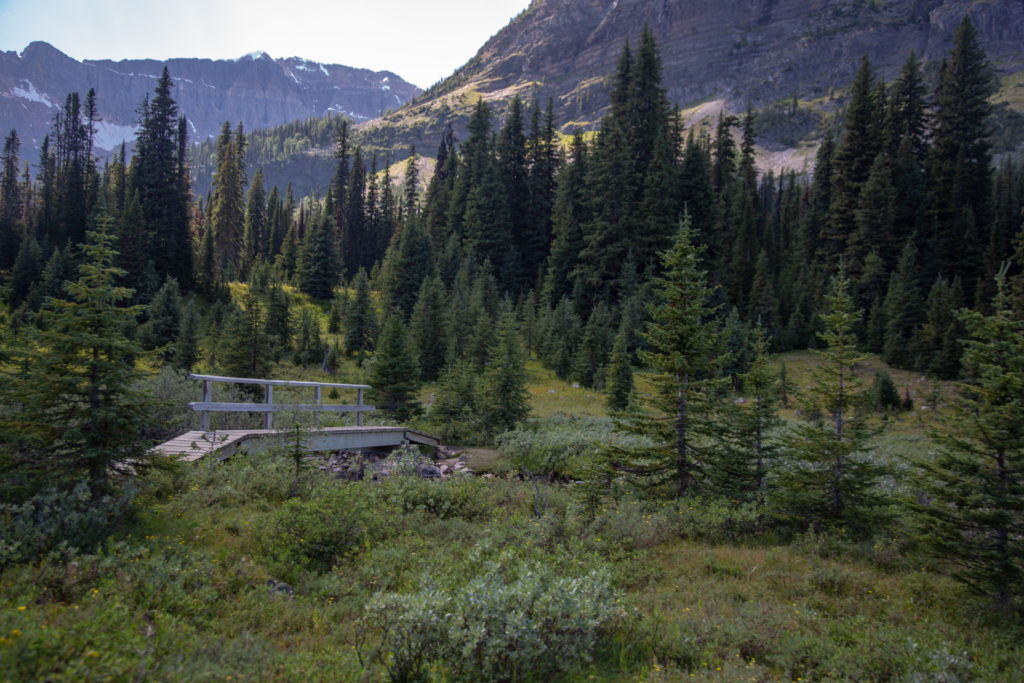
We arrived at the campground at 3:25 pm. A nice relaxed time to arrive. There was lots of time to explore the area. This would be nice for Micah as they had not been to the Egypt Lake before. I had been last year with Volcano and with my feet being sore I was not really in the mood to do any exploring. We actually had the same campsite this year as I had last year, with a clear view of Pharaoh Peak.
Micah‘s Note: I went and hung out at Egypt Lake for an hour or two and stuck my feet in the water while catching up on a few days of missed journalling. It was very peaceful and beautiful. If only I’d left five minutes earlier…if only…

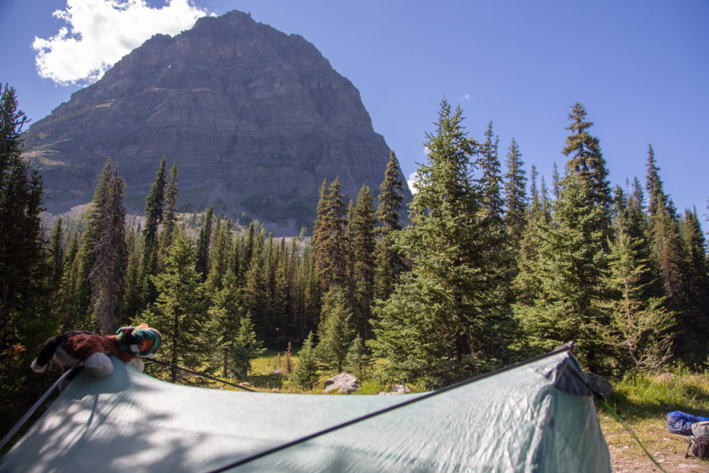
After setting up the tent Micah went off to check out Egypt Lake which is about 500 m from the campground. I took the opportunity to head back down to Pharaoh Creek and just let my feet soak and cool off in the water. After a few minutes of relaxing I realized I did not have my bear spray with me so, after filling up our water supply, I headed back up to the tent. Having my feet out of my shoes and the cool water soak had put me in a better mood. I grabbed a snack and my camera and headed off up the trial to meet Micah at Egypt Lake.
A couple of hundred metres out of camp I spied some movement in the woods and to my surprise I saw a wolf pack, complete with a couple of adults and at least three young ones. I quickly took some photos of the wolves and tried to keep my distance. I had my camera set on automatic. The camera tries to detect the best settings for the picture, including if the subject is moving. It is a good general setting but the focus beam is wide and looks at a large area around the centre of the screen. This lead to most of the shots of the wolves being out of focus as the camera focused in on an assortment of twigs and branches. I did get a couple of good shots but I was mostly just ecstatic to see wolves in the wild. The disappointment with my pictures has driven me to explore the manual modes of my camera and after an initial decline in quality my photographs have improved over the winter as I get better with my camera.
Micah’s Note: Wolves. WOLVES. I MISSED THE FREAKING WOLVES. CAN YOU BELIEVE THIS I WAS LITERALLY WALKING BACK DOWN THE TRAIL TOWARDS CAMP I WAS 500 METERS AWAY. I AM GOING TO SCREAM.
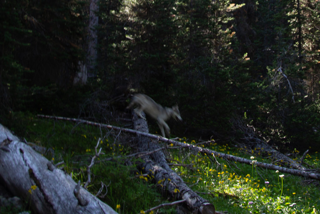

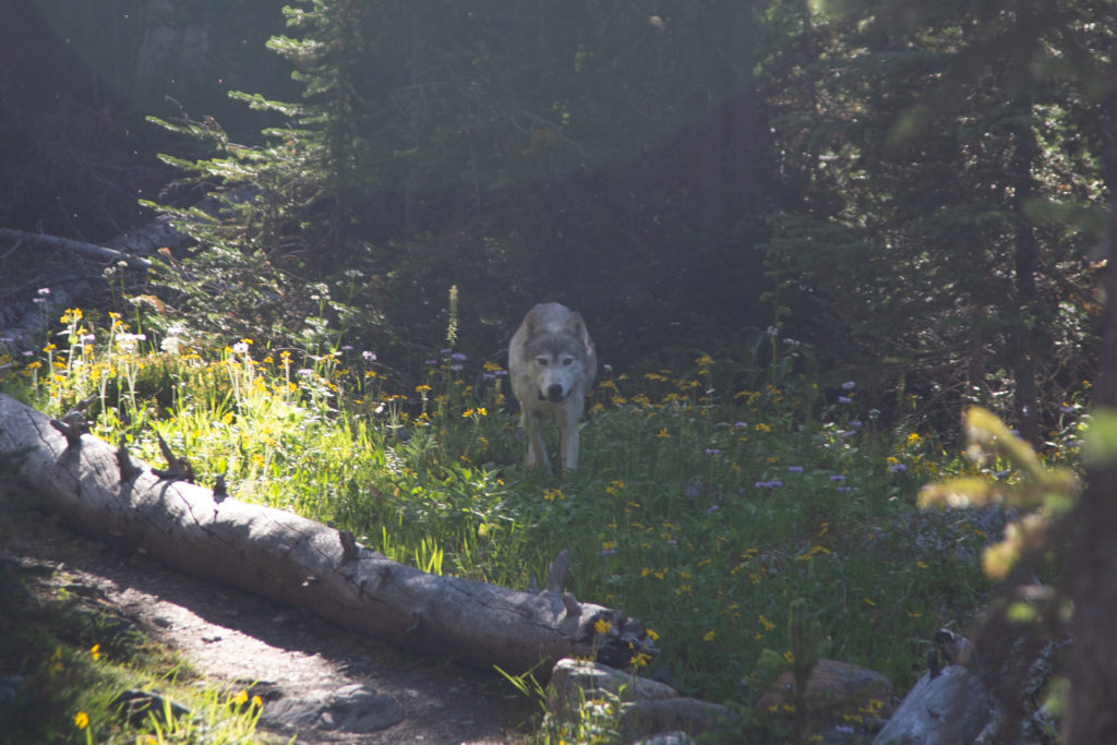
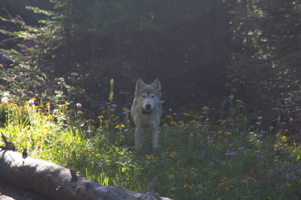
I was super excited about my wolf encounter and after a few minutes continued down the trial. The wolves had backtrack and had gone away from the trail. I soon ran into Micah who was both thrilled at my wolf story and salty because they had missed it. We did attempt to tell the Parks Canada Wardens about the wolves but when we went to the Patrol Cabin there was no one there. We did our public service by telling people in the camp about the wolves as there were a couple of groups with dogs and several groups with small kids. The rest of the evening was uneventful. There was a group at dinner with three generations of family hiking. The kids were only abut 6 – 8 years old. We headed to bed early as tomorrow would be our biggest day, as we were planning on getting to Floe Lake CG with a resupply at Floe Lake parking lot.
