South Kaibab Trailhead to Bright Angel Campground
Distance 12km, 1460m of elevation loss, Time 4.5hrs
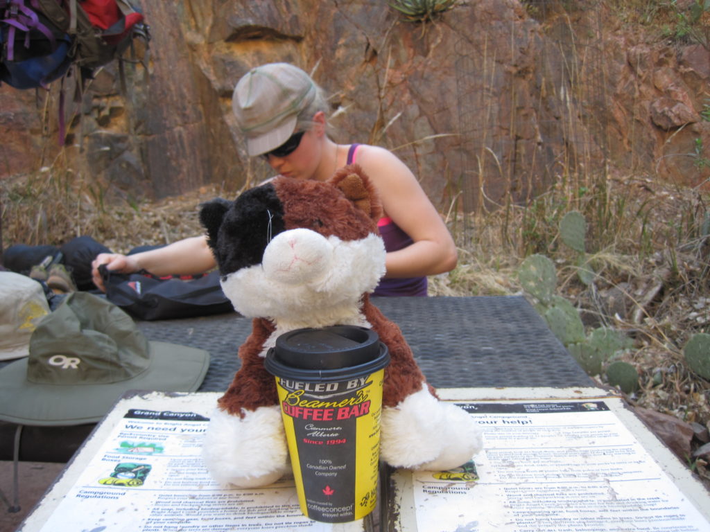
We packed up our tent and put away all the gear from car camping into the rental car and drove to the Backcountry office to park. Just prior to leaving, we weighed our packs on a scale outside: for four people for two days and one night, we had about 120lbs of gear.
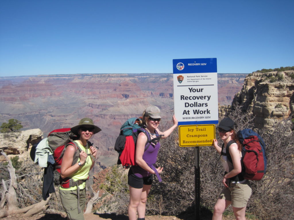
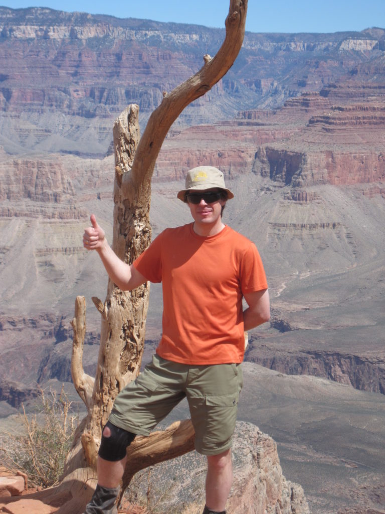
We took the shuttle to the South Kaibab Trailhead, posed for pictures and began our hike, heading down into the canyon.

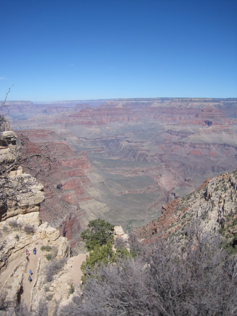
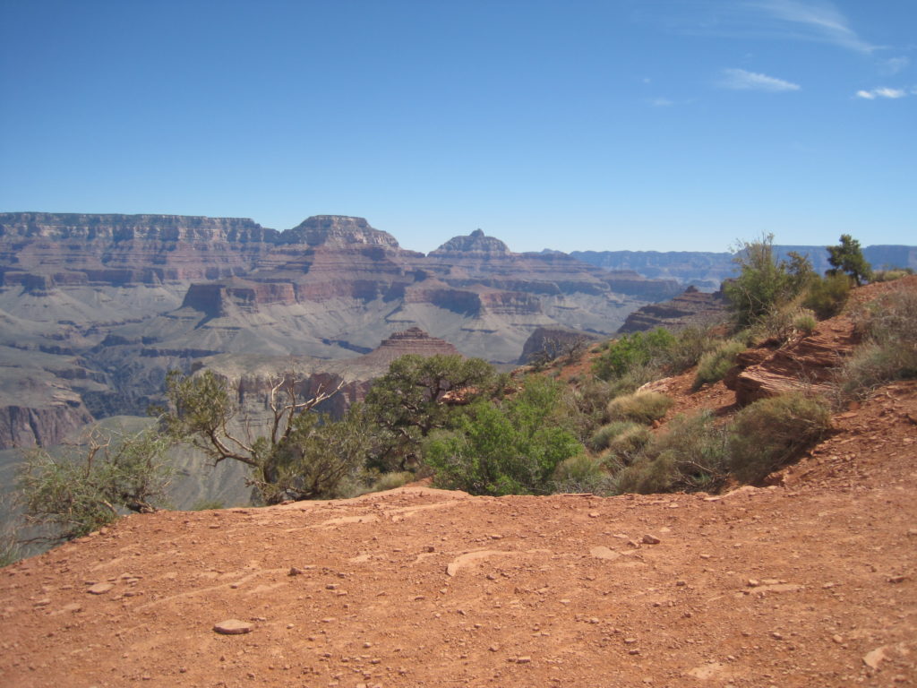
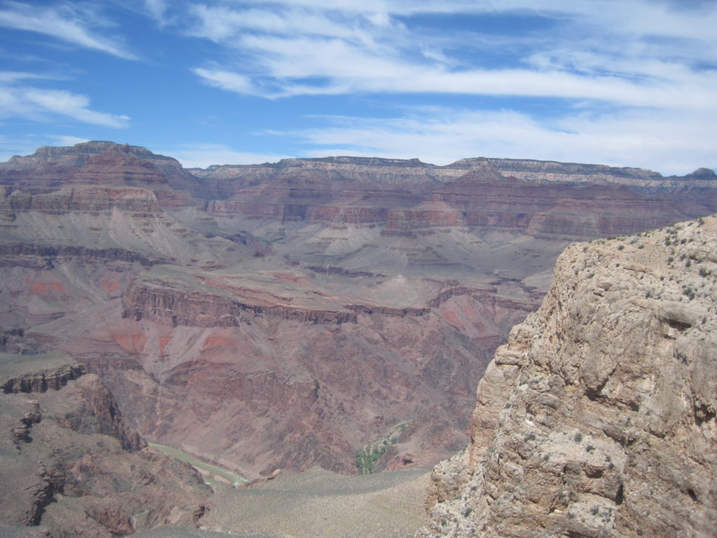
From the trailhead, the hike to the river looks very daunting. You can make out the gorge, but not the river itself, it just looks a long, long way.

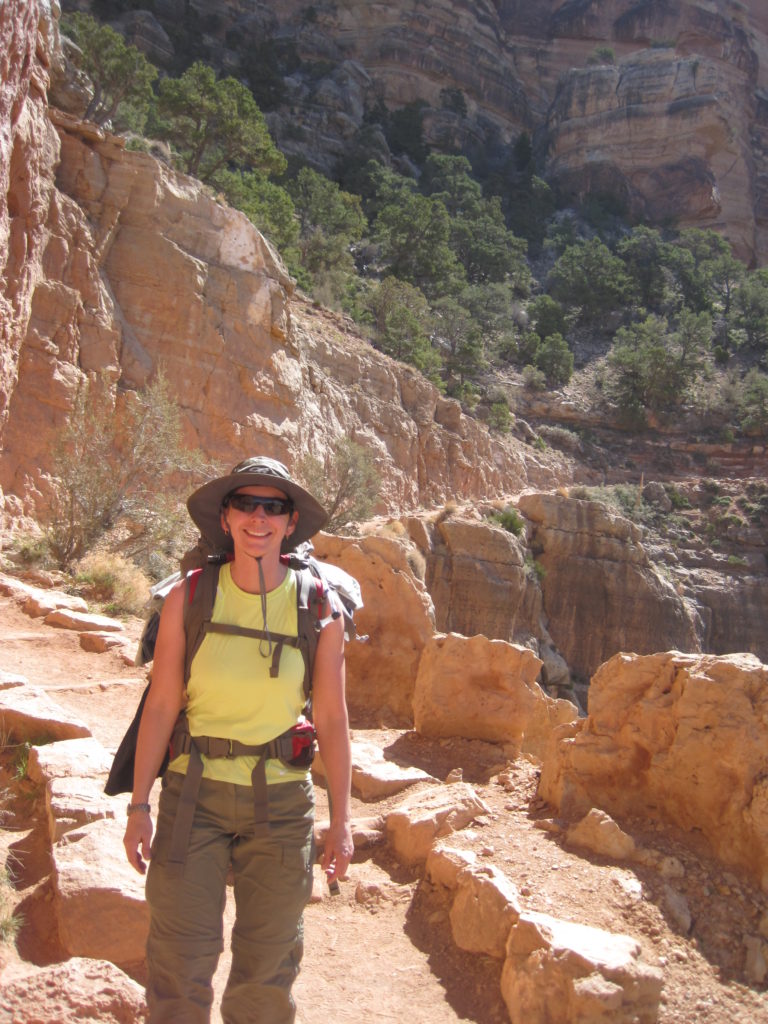
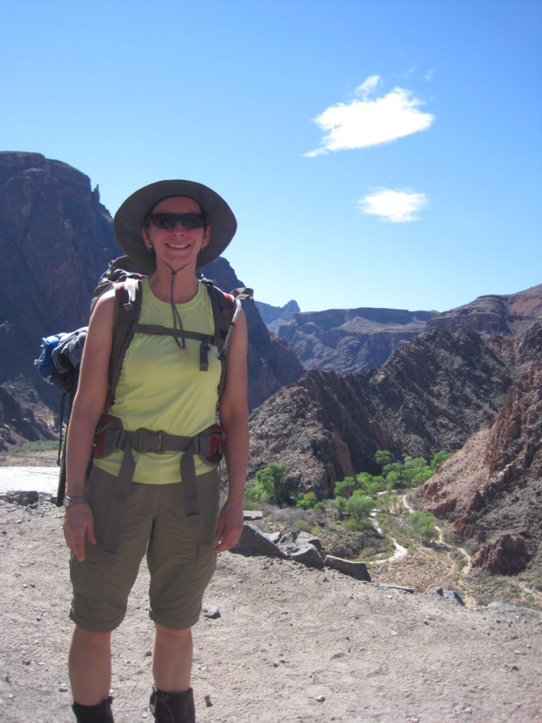
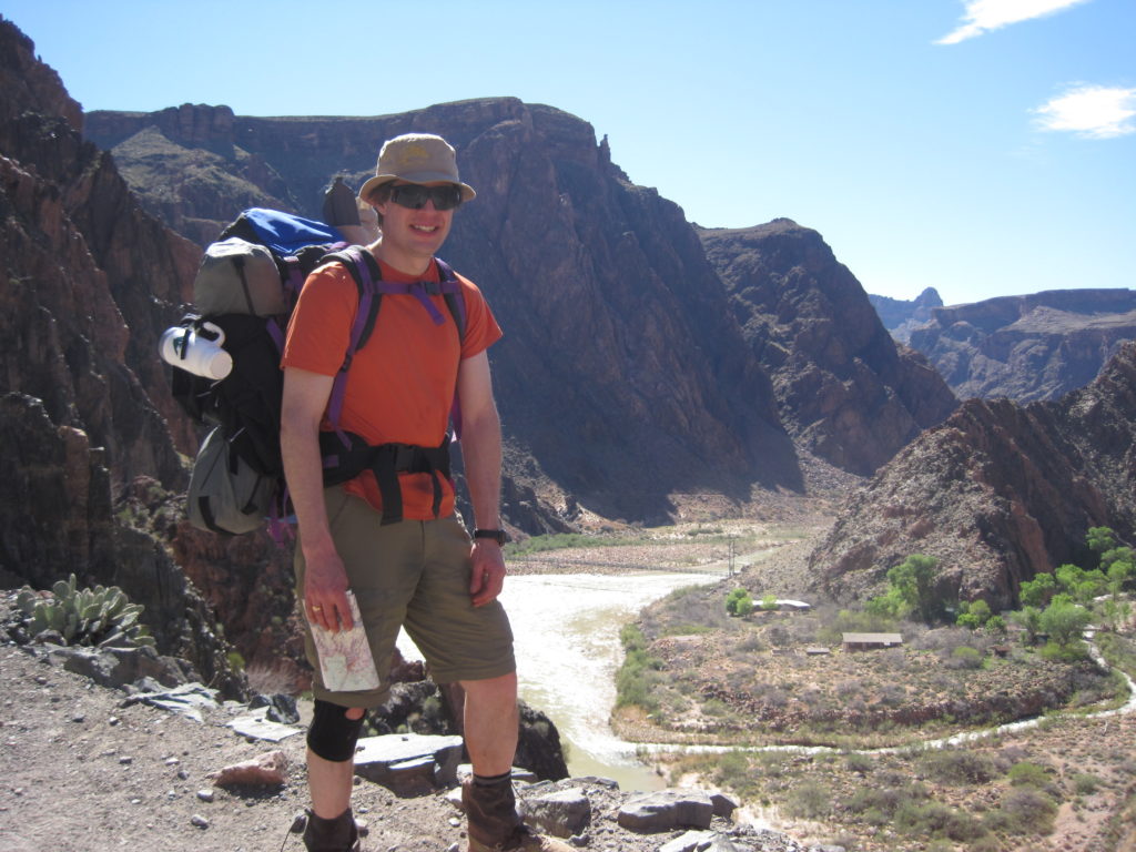
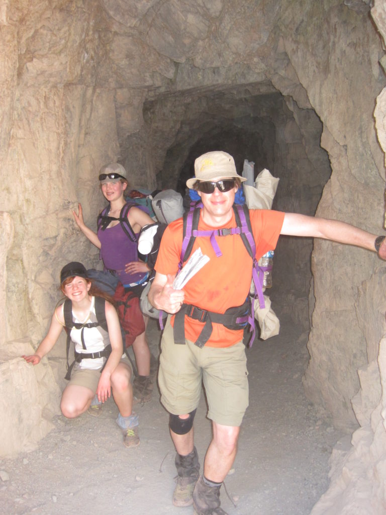
It was not an early start, about 11am, but everyone was in a great mood as we set off down the trail. Looking at the pictures of us hiking, I notice how many items are hanging off our packs. We do not look like a compact and efficient group.
Since the trail is used by the mule trains, it is well graded from top to bottom. Wide enough to walk side by side and still allow hikers to pass.
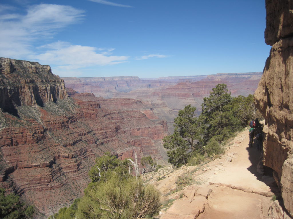
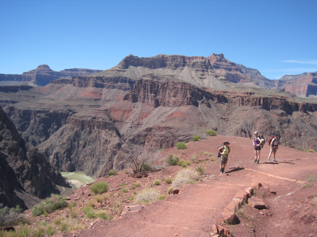
After descending the initial cliffs via switchbacks, we moved out into the canyon at Ooh-Ah Point. This is a spectacular vantage point, because you are actually pushed out into the canyon, with panoramic views all around, unobstructed by the initial cliffs.

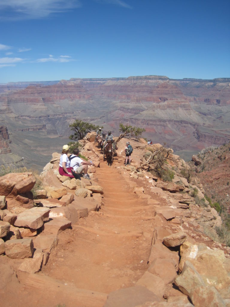
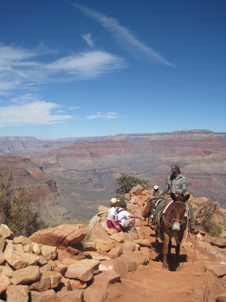
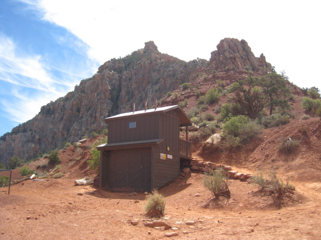
Our first pit stop was Cedar Ridge (2.4km, 348m elevation loss), where we could take a break, have a snack and use the elevated toilet if necessary. A mule train came up the trail. Mules have right of way, so we all stood off to the side to let the train pass.
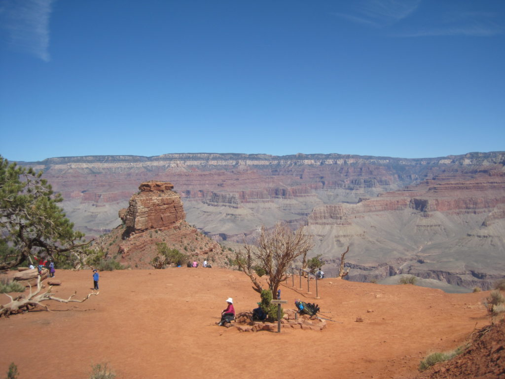
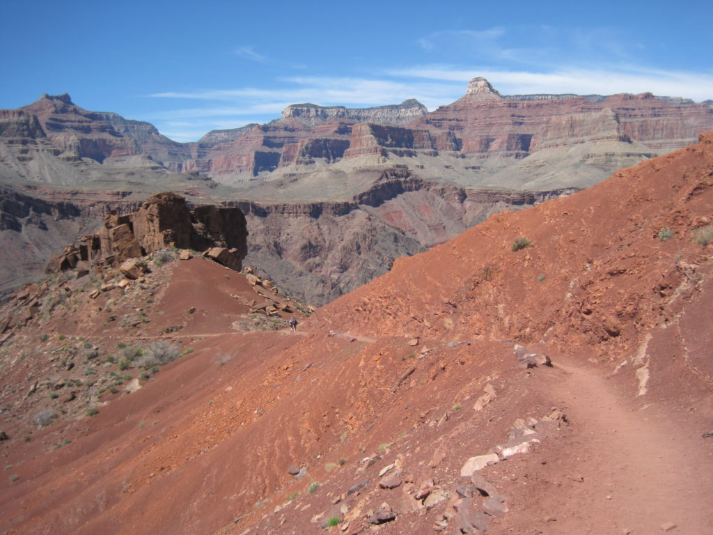
After our short break, we continued along Cedar Ridge. While continuing to lose elevation, the trail was not as steep as previously, which gave the legs a chance to stretch out. We reached Skelton Point after about an hour of walking. The views from Skelton Point across the canyon are amazing, and the view down the switchback through the Red Wall Limestone was impressive.
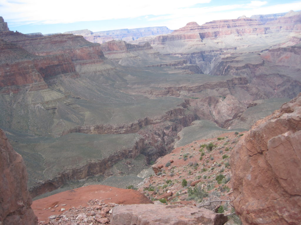
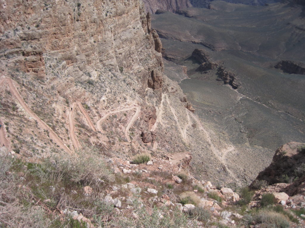
We hiked steadily down the switchbacks, then across the Tonto Plateau, past the intersection with Tonto Trail to reach Tipoff about an hour and half after leaving Skelton Point. Tipoff is the beginning of the descent to the river through the Granite Gorge of the Grand Canyon. Hiking down to the river involves leaving the layered sedimentary rock of the upper Grand Canyon and hiking on the 1.8 billion year old granite and schist of the deep canyon.
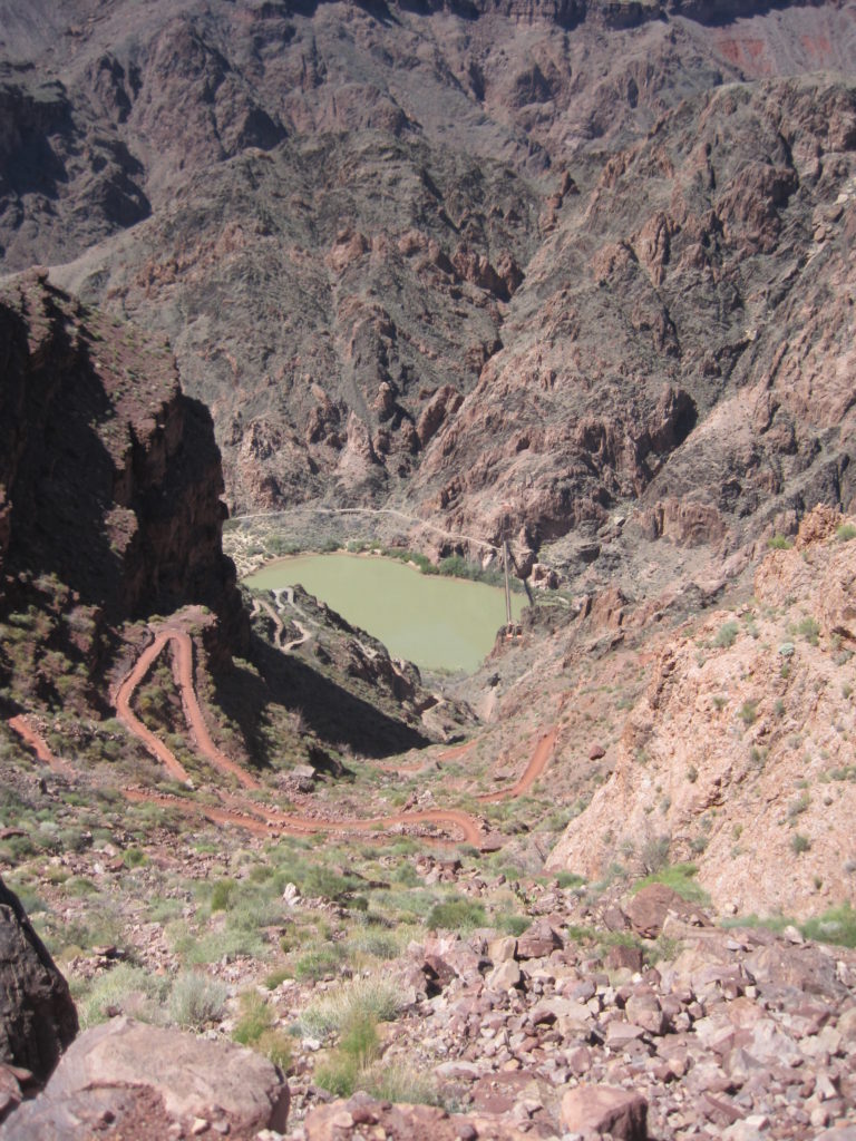
Tipoff to the river was the largest elevation drop of the day, at 450m, but we arrived at the Colorado River only 45minutest after leaving Tipoff. The trail again was well graded, with good traction and numerous switchbacks.
Ending in a tunnel blasted through the cliffs. Once at the river, we crossed over a bridge and made our way to Bright Angel Campground.

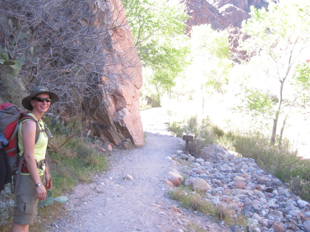
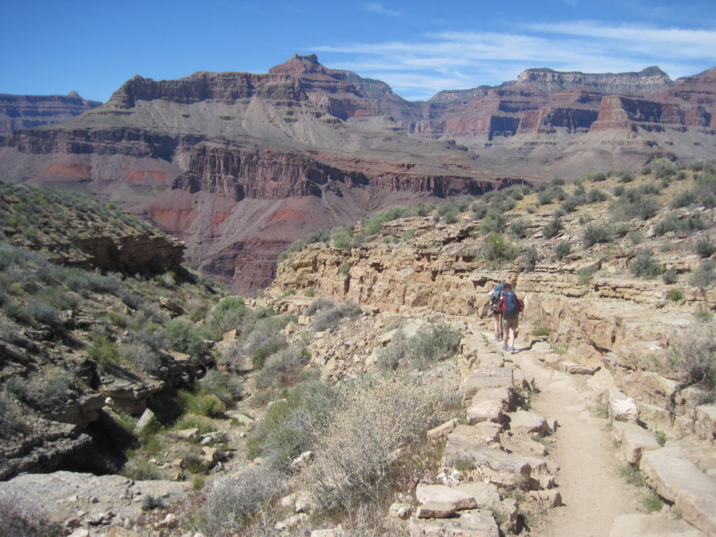
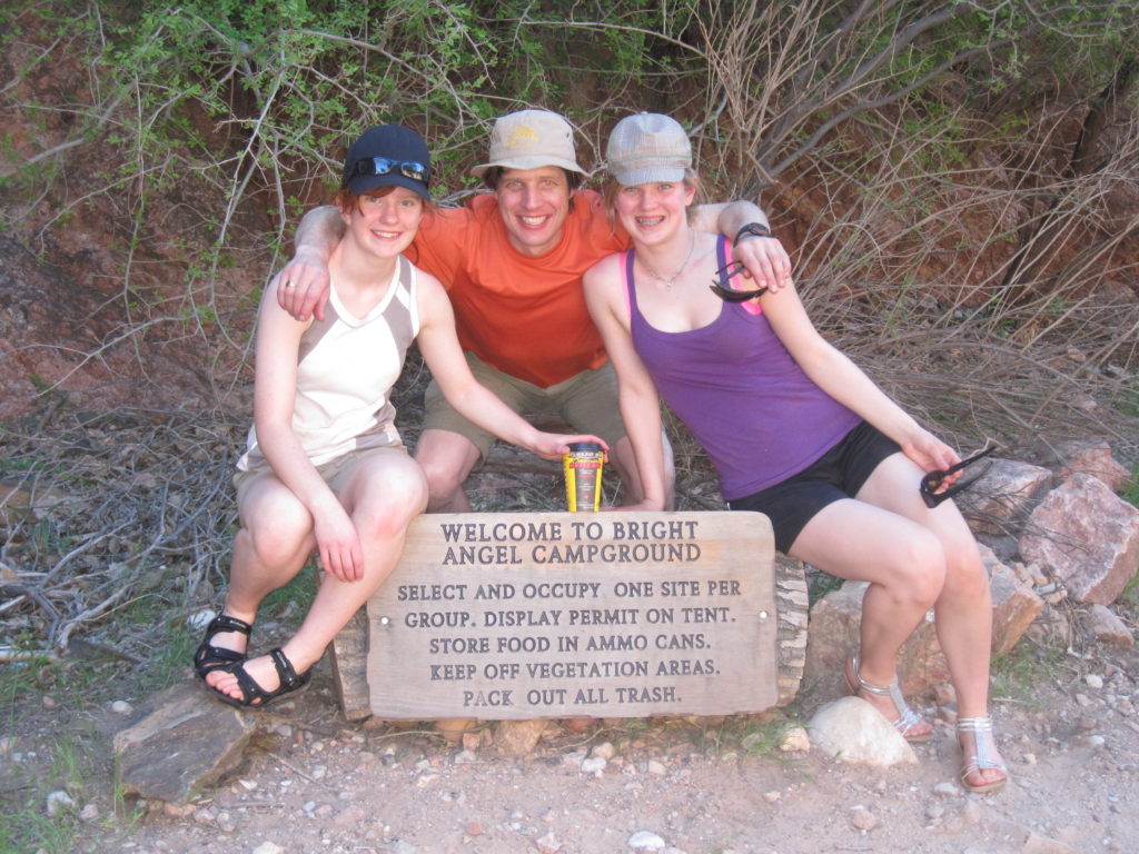
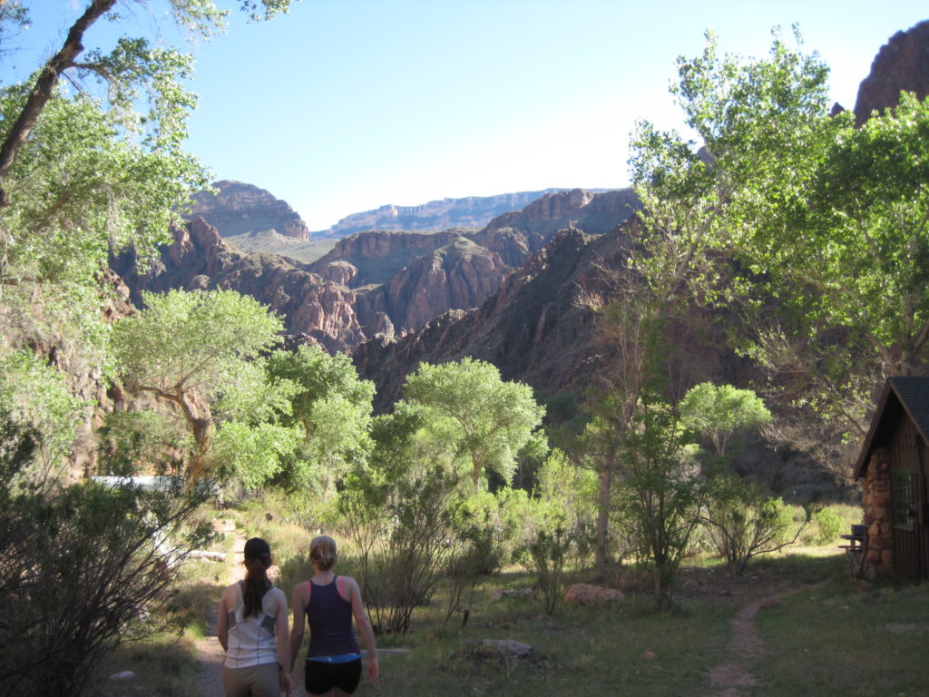
We selected our tent site. The temperature difference between the Rim and the river was amazing. The high temperature at the Rim, was the low temperature at the river. We actually did not put the fly on the tent, and would sleep later looking at the stars. We explored the area around the campground and made our way up to Phantom Ranch.


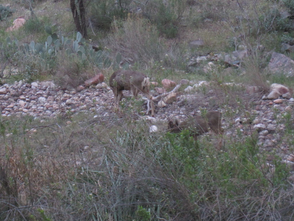
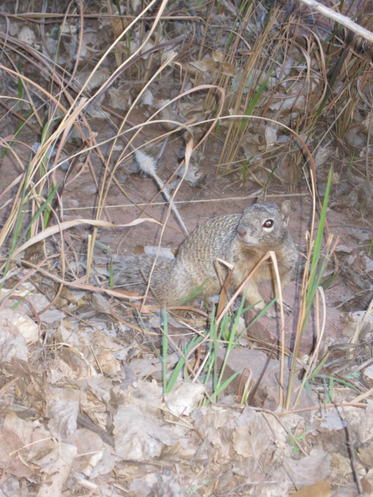
During dinner we were visited by some deer and a pesky squirrel.
After dinner we went to a Ranger Talk at Phantom Ranch. These are great little events, where you can learn more about a specific aspect of the Grand Canyon, and the Rangers are always happy to answer all your questions. One of the subjects of the Ranger talk was scorpions. With us all being in open toed sandals, we walked carefully back to our tents in the fading sunlight.

We did enjoy looking at the stars as we lay in our tent, but a good day hiking had everyone soon fast asleep.