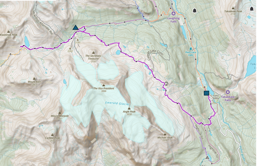
Day 2 September 20, 2025, Little Yoho CG to Takakkaw Falls Backcountry Parking lot via Kiwetinok Pass and the Iceline Trail, 18.1 km, 635 m elevation gain, 1165 m elevation loss, 6 hrs 25 min.
Our route started at the triangle, we went up to Kiwetinok Pass then came back down and headed down the Iceline Trail to finish at the backcountry parking lot at Takakkaw Falls, the square.
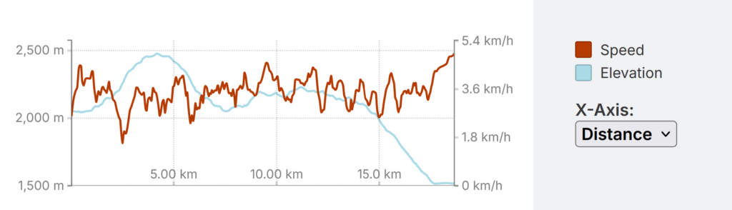
Our speed and elevation profiles for the hike.
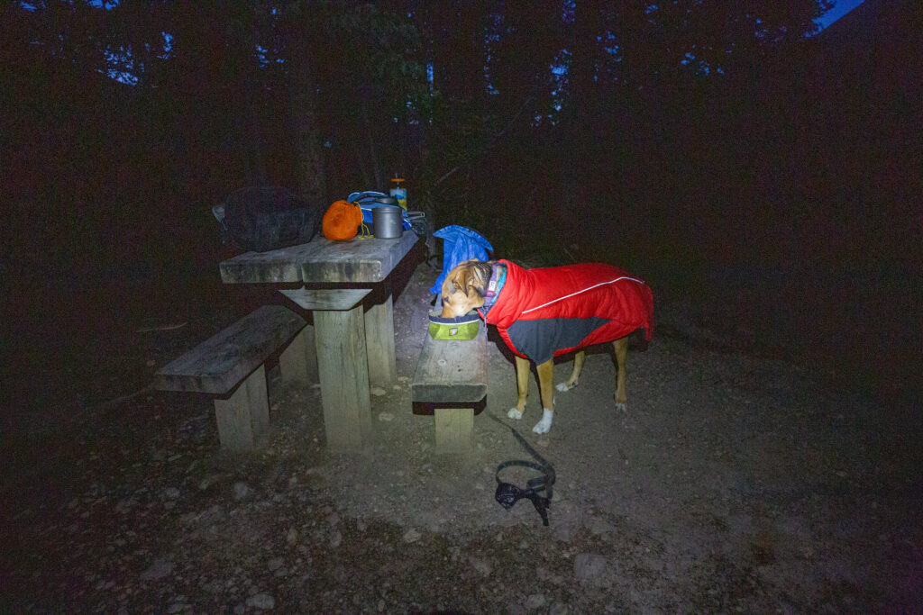
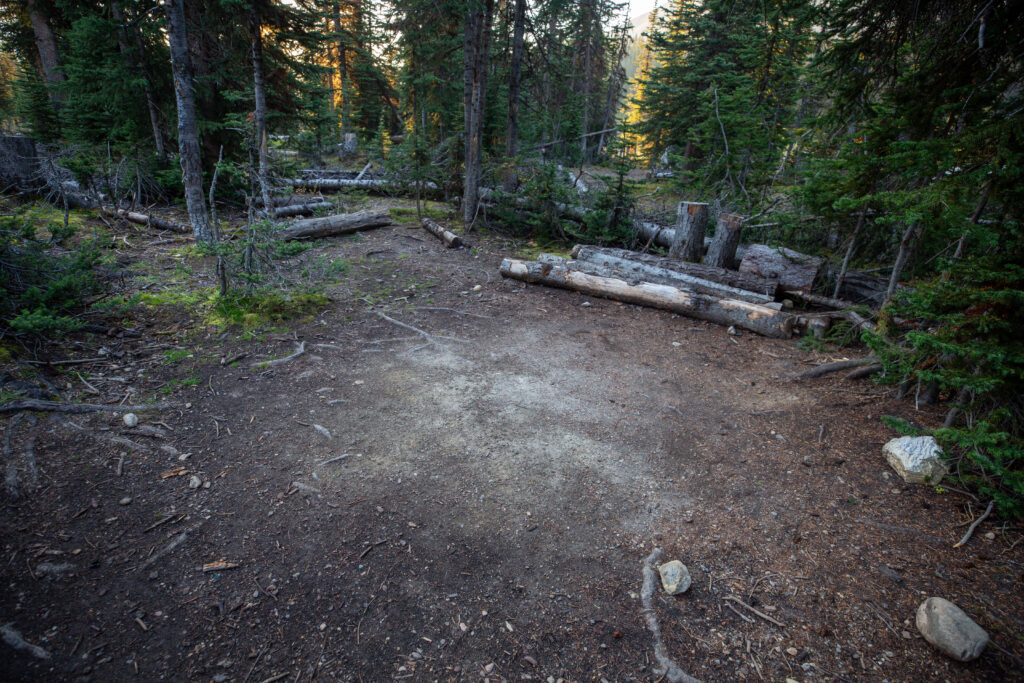
Margaux pretending she is a human and using the seat as a table. Margaux has on her puffy jacket that acts as her sleeping bag.
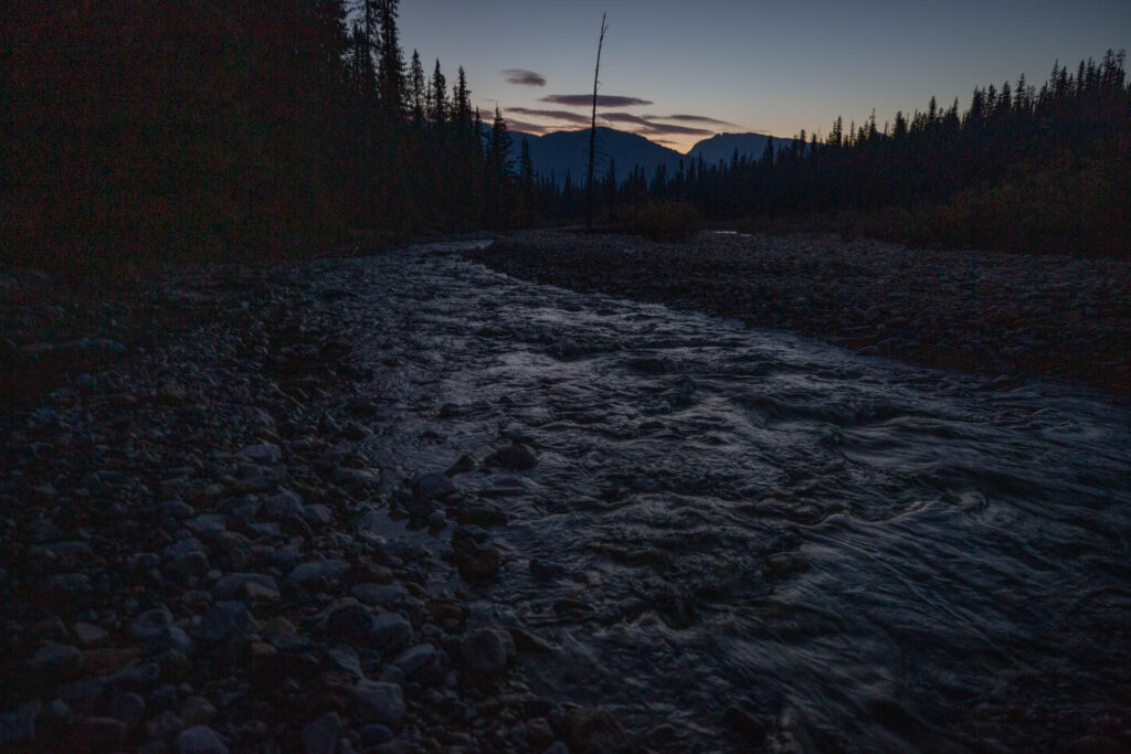
Looking down the Little Yoho River (north) to the sunrise over the Waputik Range.
I would not say that we were up early but we were out of the tent by 6:30 am. When traveling solo with a dog everything takes a little longer. What should be one trip to the food storage is two. My goal was to be out of the campground by 8 am. Margaux was not in such a rush.
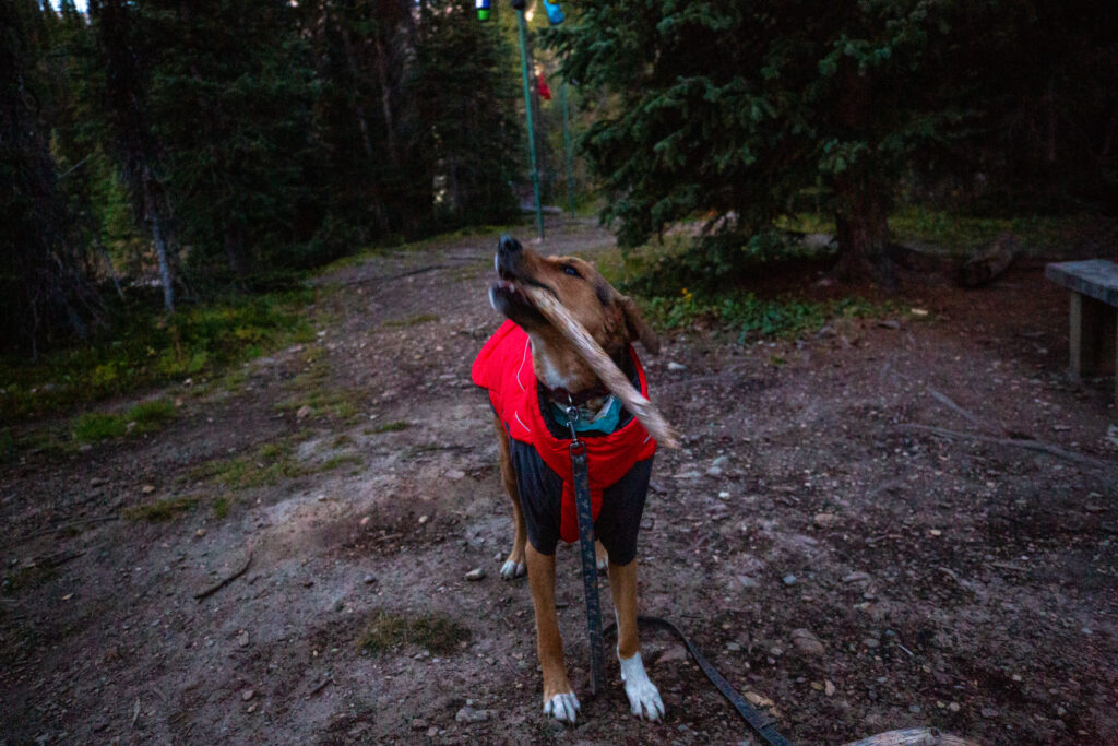
“Play with me!” Margaux is a low cost girl, just get her a stick and she’s happy.
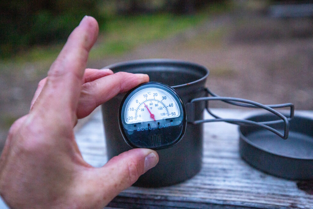
7:10 am and it is already about 5 C.
8:10 am and we are ready to go. Camp is very quiet. Despite the time we saw no one else up.
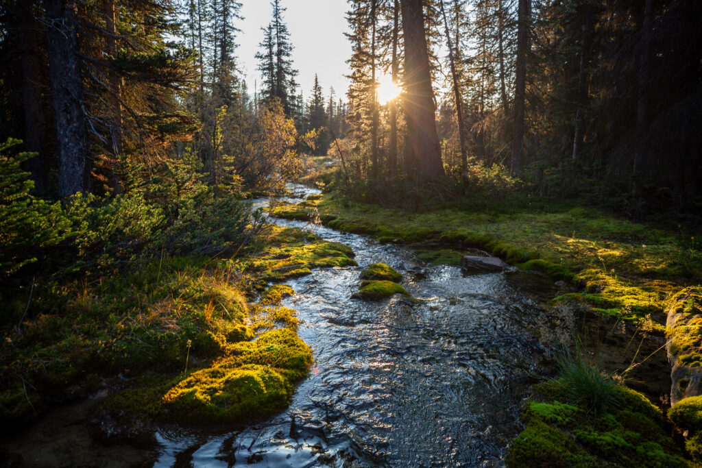
A pretty little creek just a couple minutes out of camp.
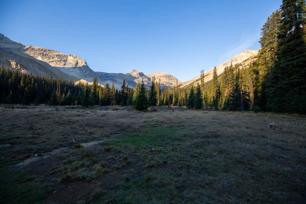
We are heading for the low point at centre. The view from the meadow in front of the Stanley Mitchell Hut.
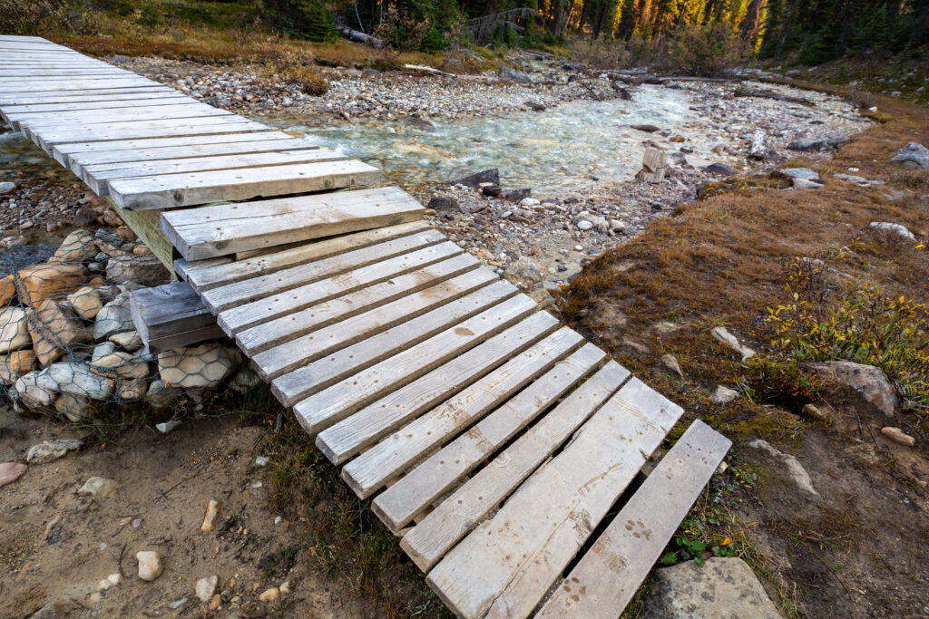
The bridge has a thin layer of frost on it making it quite treacherous.
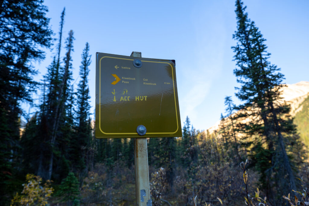
We will head to the right to go up Kiwetinok Pass. 8:22 am.
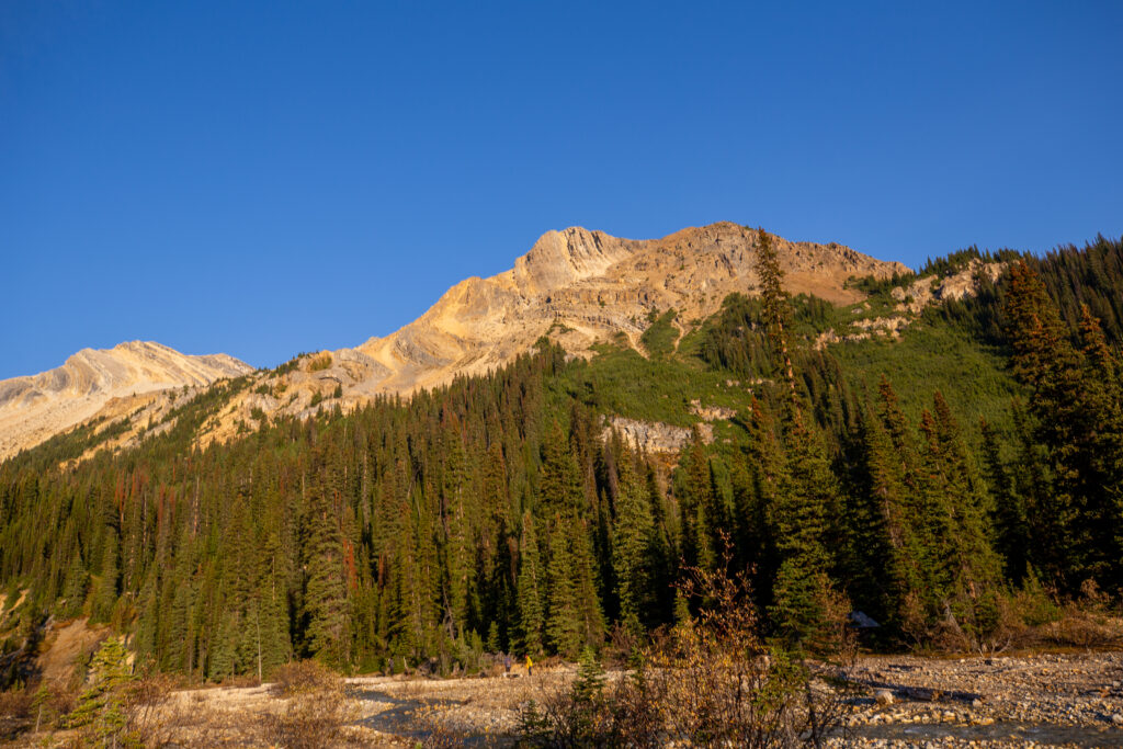
Looking back over the Little Yoho River to the campground. A couple of people getting water for their breakfast. Nice morning light on the mountains.
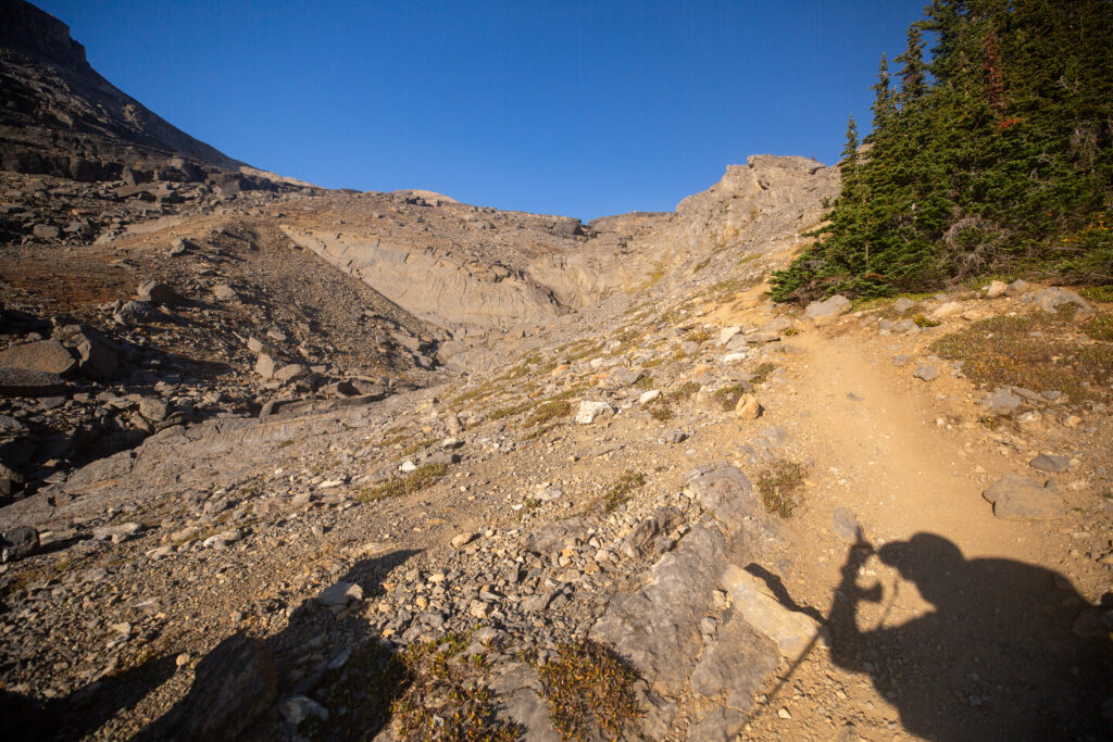
As we head up to the pass the trail alternates from flat to quite steep until it crests the headwall, which for us was about 2.8 km into the hike and took about 1 hour of hiking, where it drops to a nice steady grade all the way to the top.
After the first steep section the trail pops out onto the remains of a lateral glacial moraine.
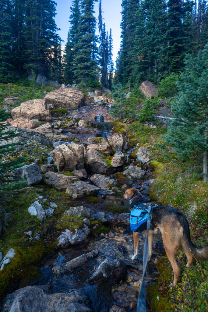
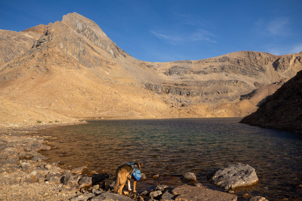
Margaux pausing for a little drink at small creek.
Margaux has a complicated relationship with water. When we first went hiking it was evident that Margaux had never seen large bodies of water before and she actively avoided contact with the wet stuff. Over time and through many hikes and lots of positive reinforcement (read she got a lot of treats for being brave) Margaux is very comfortable with small to medium streams. She now finds it necessary to stop and drink at any flowing body of water no matter how small. Margaux is still unsure about the waves that ponds and lakes make and she definitely prefers the predicable moving water in creeks and streams.
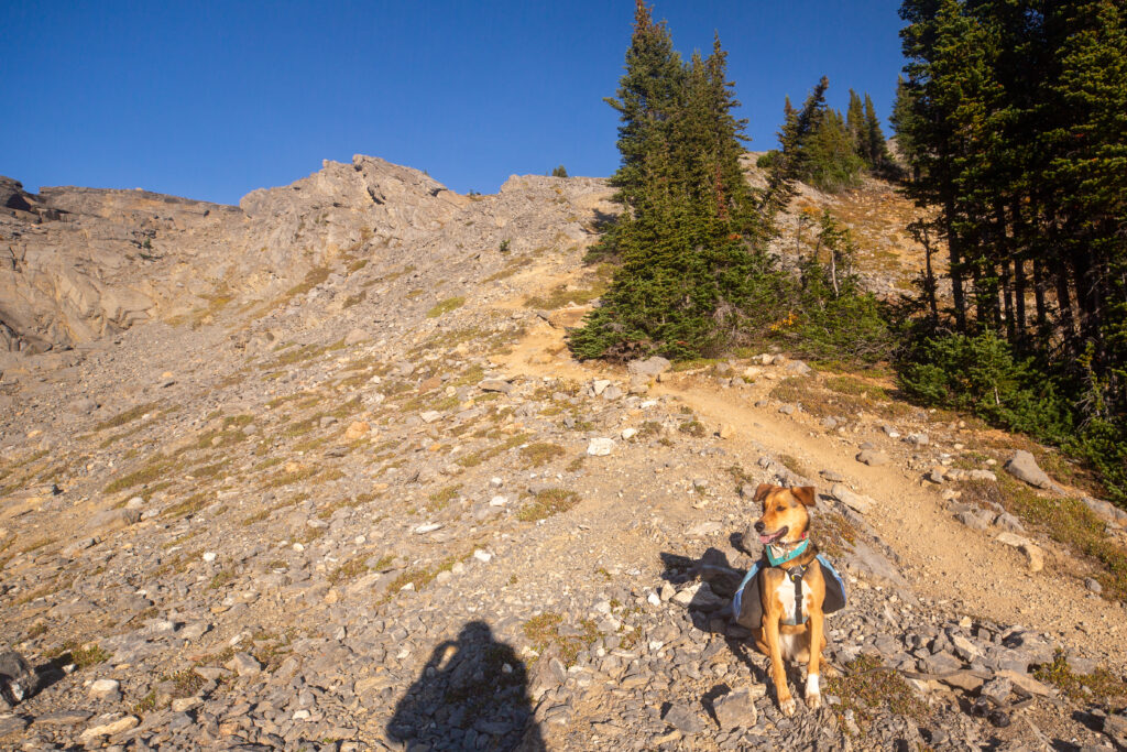
Once we are over the cliff the trail will flatten out significantly. The next section is more than just a little steep but luckily it is fairly short.
Can there be too many photos of Margaux.
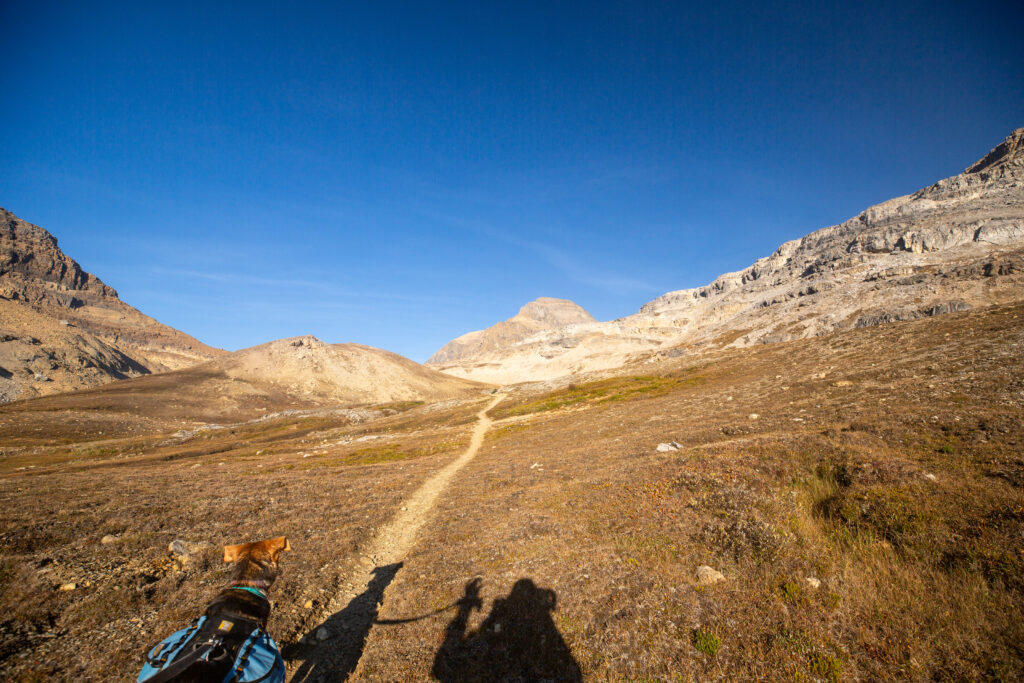
Just 10 minutes later we are over the cliff. It is still uphill all the way to the top but the grade is very gentle.
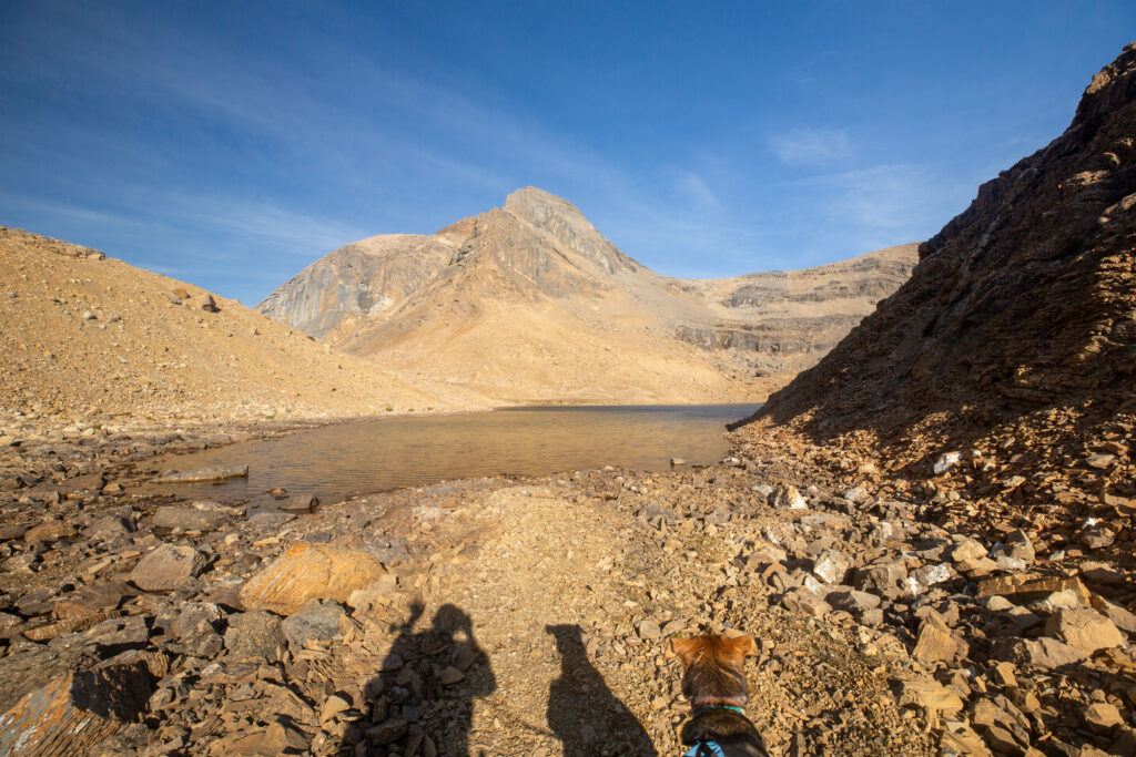
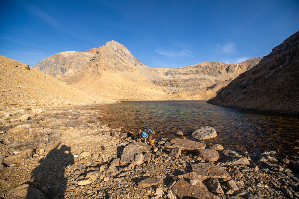
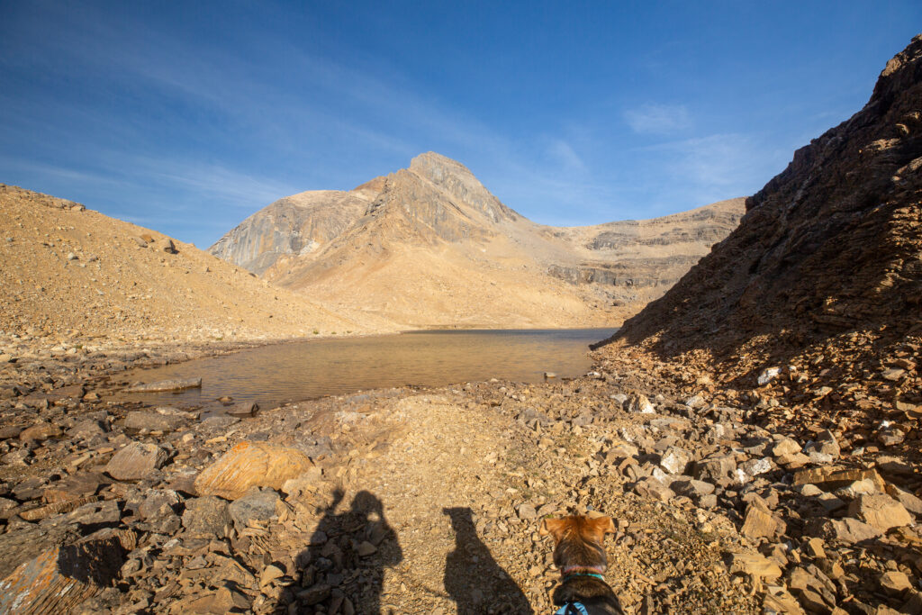
Kiwetinok Lake. The high point of the pass is just up the little gully on the left at the other end of the lake. Margaux taking another drink, but in a little pocket of calm water away from the waves of the main body of water. 9:25 am. It has taken us just 1 hr 15 minutes to hike to the lake from the campground.
A friend of mine told me that Kiwetinok Lake is the highest named lake in Canada. I tried to look that up but could not find any list of lakes by altitude. At a little over 2400 m above sea level I doubt that Kiwetinok Lake will have many challengers for highest named lake title.
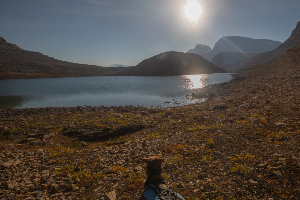
Margaux taking a long look at Kiwetinok Lake. Her backpack looks a little skewed.
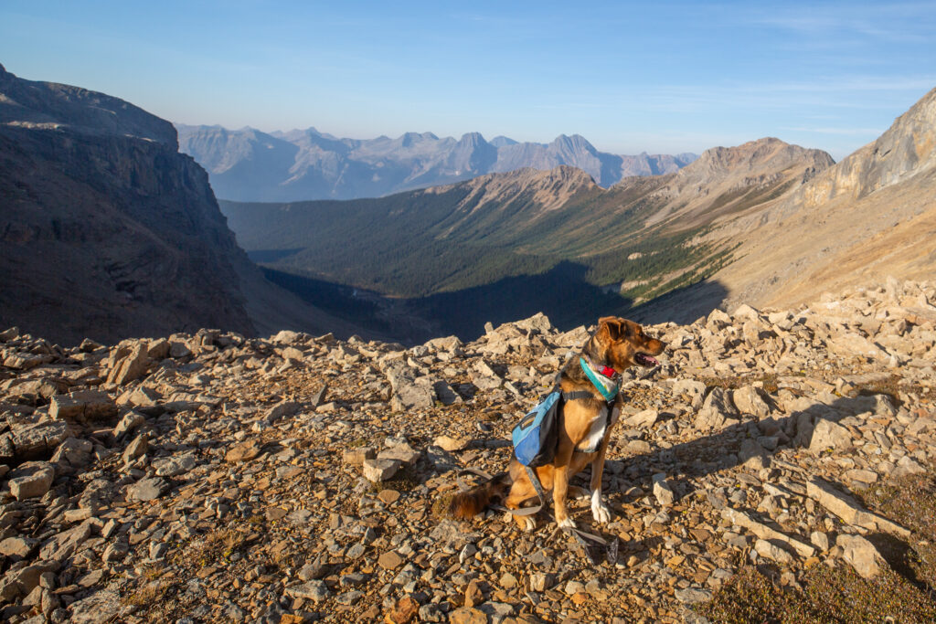
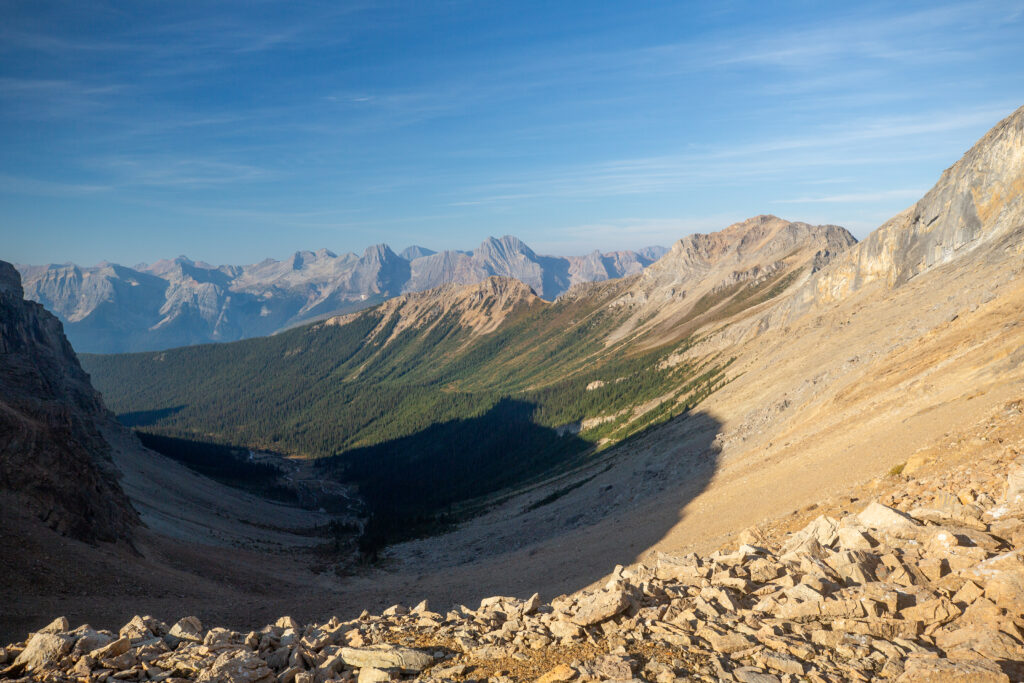
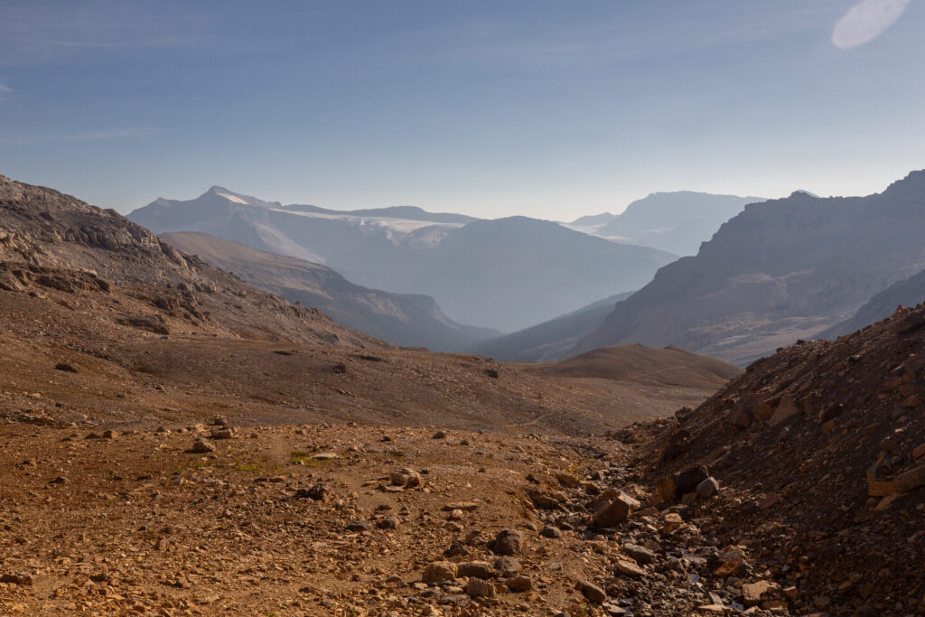
Margaux at Kiwetinok Pass. I love the ridges of the mountains extending into the distance. It is always such an awe inspiring view.
Kiwetinok River runs deep in the valley. The Great Divide Trail goes down the slope into the valley and then up to the right through Kiwetinok Gap which is the second gap in the ridgeline, closest to the upper right. It is hard slog.
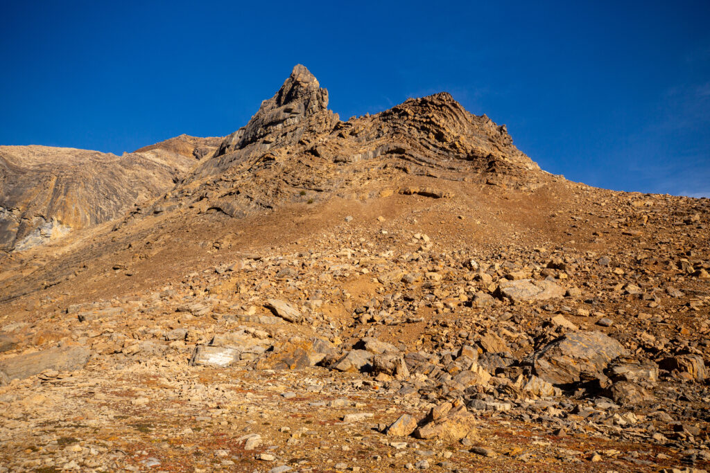
I never get tired of seeing bent rock. It is almost impossible to understand and appreciate the temperatures and forces necessary to deform rock.
Margaux bathing in the sunlight while taking a long look at Kiwetinok Lake as we return from the pass.
Waving goodbye to Kiwetinok Lake until next year.
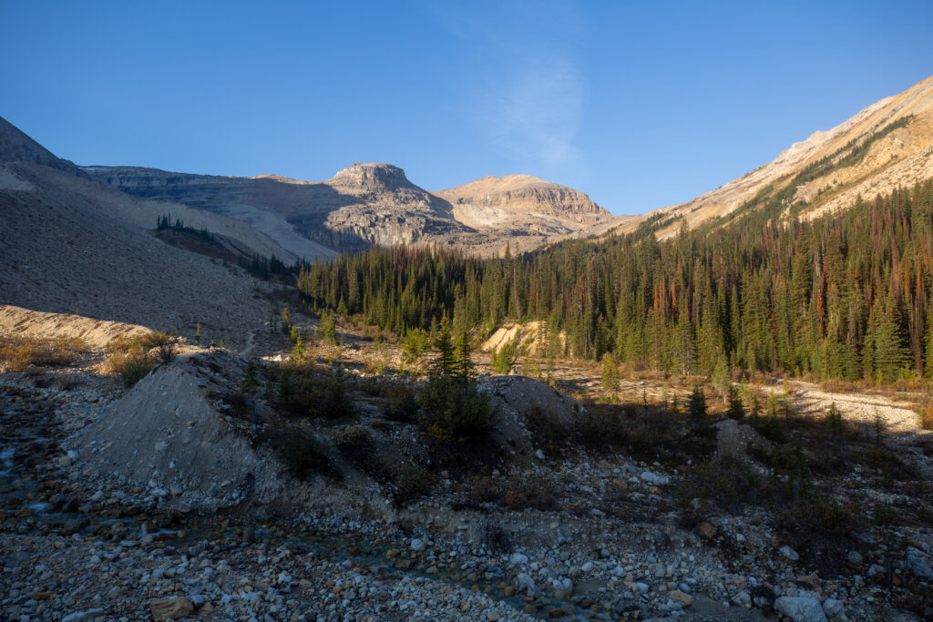
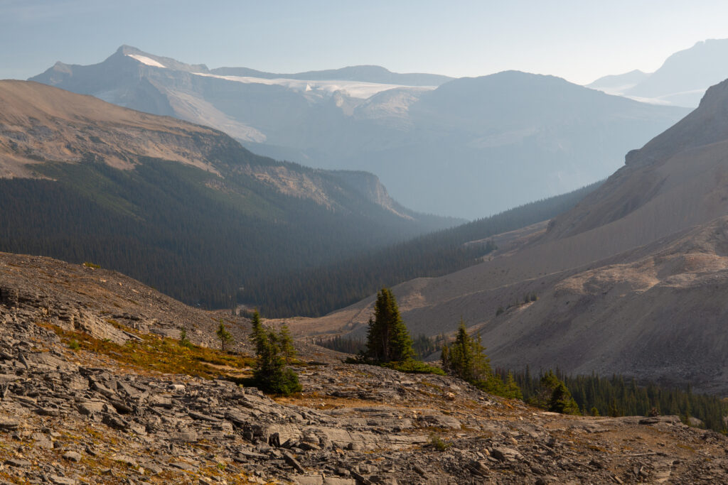
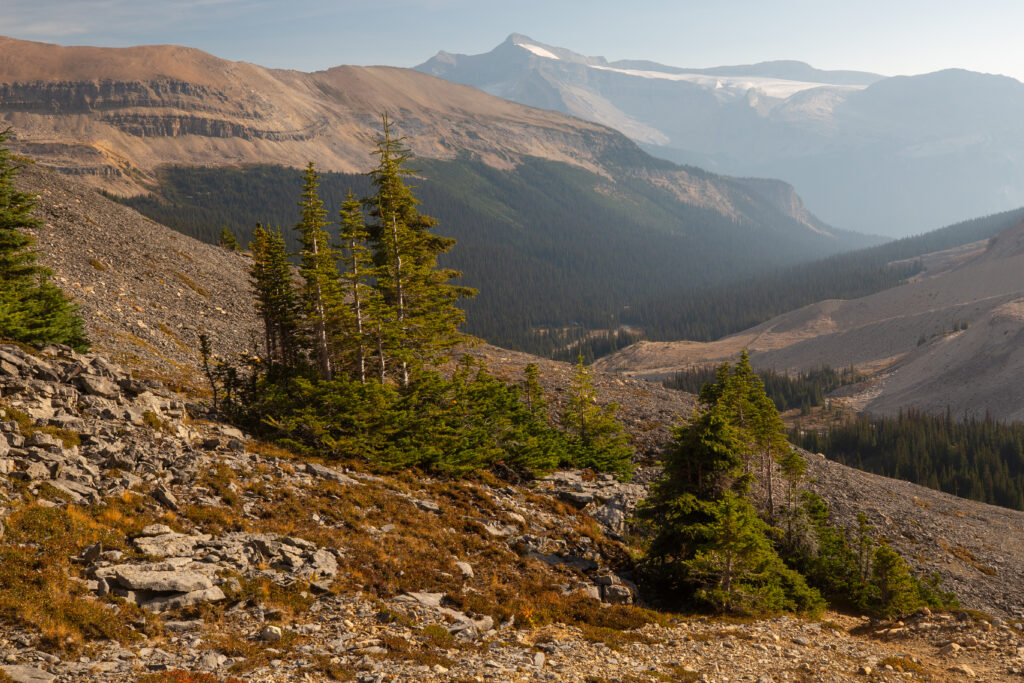
Looking back down the Little Yoho Valley. While you can follow the trail down across the right of the photo, the actual trail cuts to the left of the lower mound. I never did see where the trail splits.
Coming up to the cliff. Just over the ridgeline on the left the pale green in the forest is the Stanley Mitchell Hut.
A better view of the Stanley Mitchell Hut and the clearing in front of it.
We met the three English women just at the bottom of the big cliff. They had left their packs at the campground and where taking my advice to explore Kiwetinok Pass. They looked in great spirits and gave Margaux some quick head scratches. I had decided I did not want to walk back to the campground so I had hauled my entire pack up to the pass. The top lid of my pack comes off and converts into a small day pack. I probably would have felt fresher had I left the bulk of my gear at the campground and carried just the essentials to the pass in my top lid. I just did not feel like converting the top lid and felt it was just simpler to carry everything and avoid going back to the campground.
More folded rock. The backside of the mountain known as the Secretary-Treasurer.
We arrived back to the junction with the Iceline trail at 10:55 pm. It had taken us 2 hr 45 min to hike the 7.4 km to the pass and back while gaining 427 m of elevation. I was feeling pretty good as we headed onto the Iceline. The trail does gain a few a hundred metres of elevation but the grades are mostly gentle and the views are spectacular.
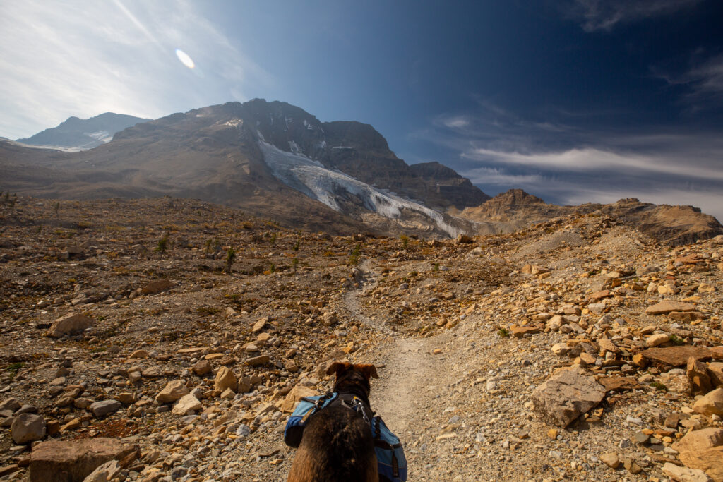
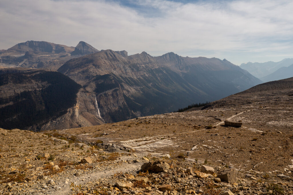
Onto the Iceline. Most of the elevation gain is attaining the ridge in the distance.
Margaux taking in a view of the Vice President.The uninspiring names of the local mountains were given by Alpine Club of Canada to honour the corporate heads of the Canadian Pacific Railway at the run of the 1900’s. The generic names are a result that the corporate heads already had different mountains named for them.
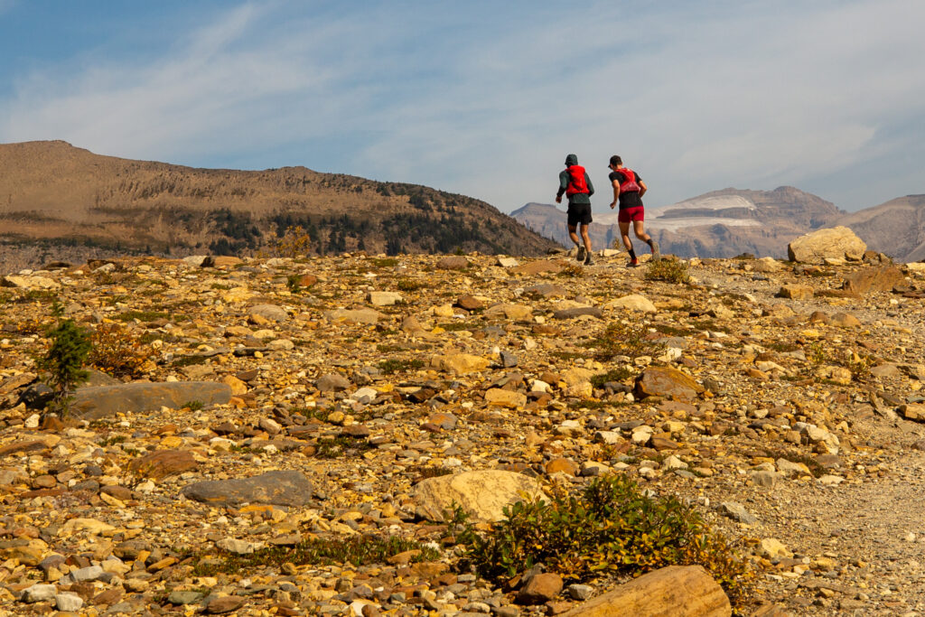
It would end up being a busy day on the Iceline but these runners were the first people I saw on trail.
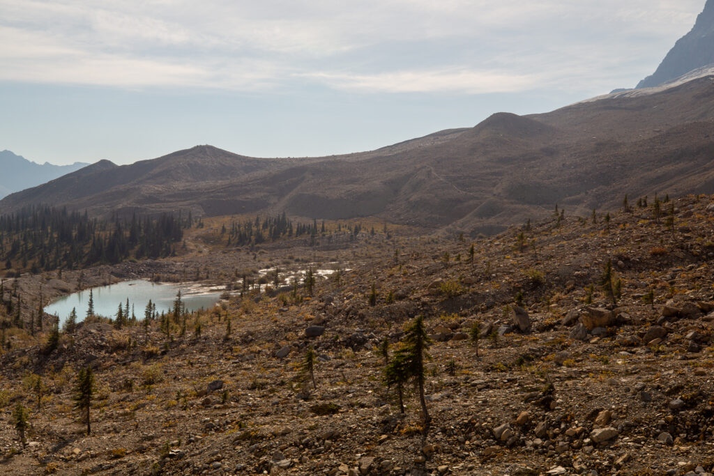
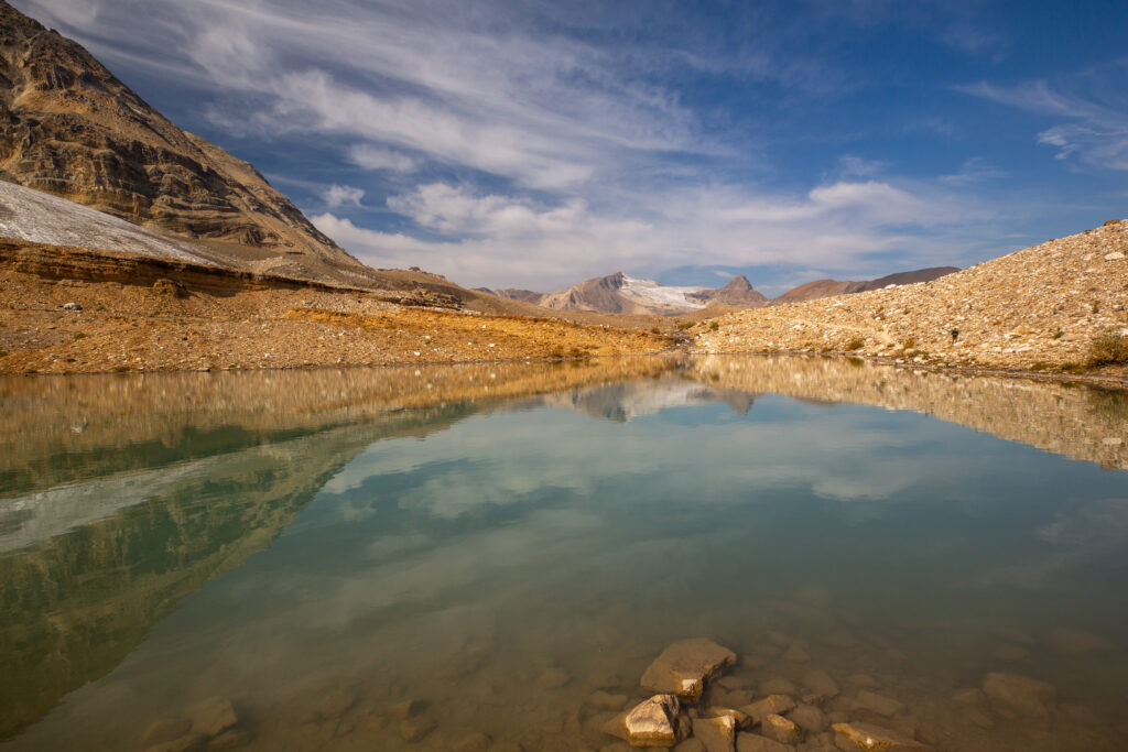
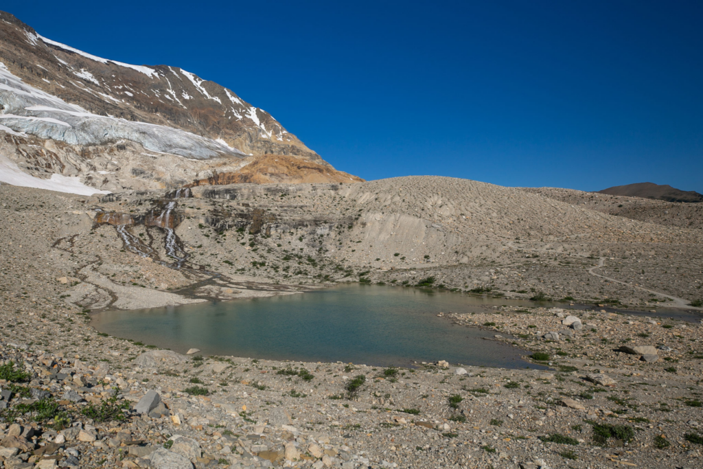
Just over the ridge in the previous photos. I love this lake. It must be one of my most photographed places.
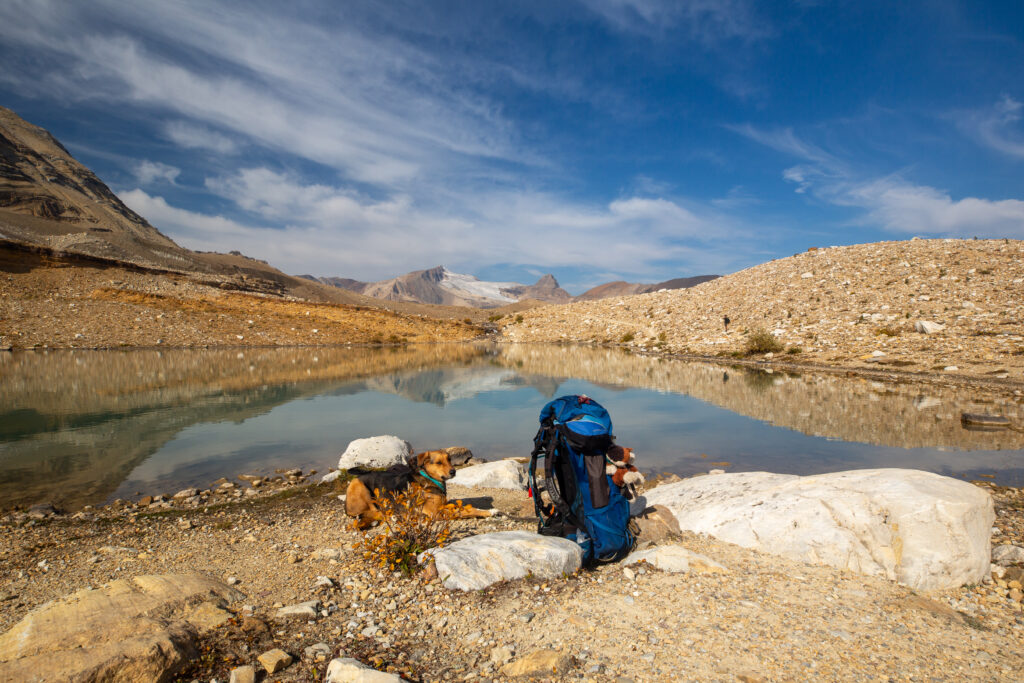
Margaux not happy about posing for a photo. There is another hiker on the far side of the lake.
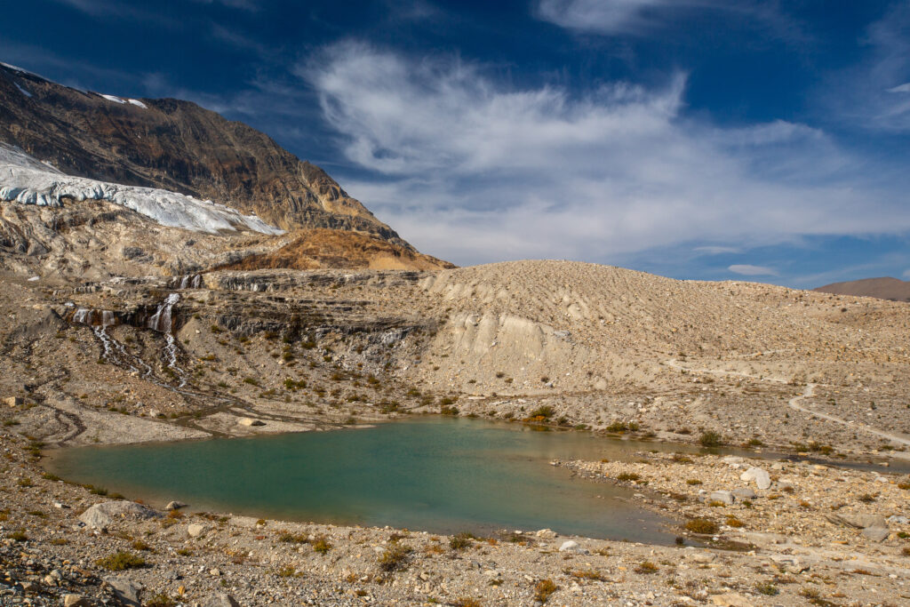
The image on the left is from this trip, 2025, the image on the right is from my Great Divide Trail Hike Section D in 2022. the glacier is noticeably smaller in 2025.
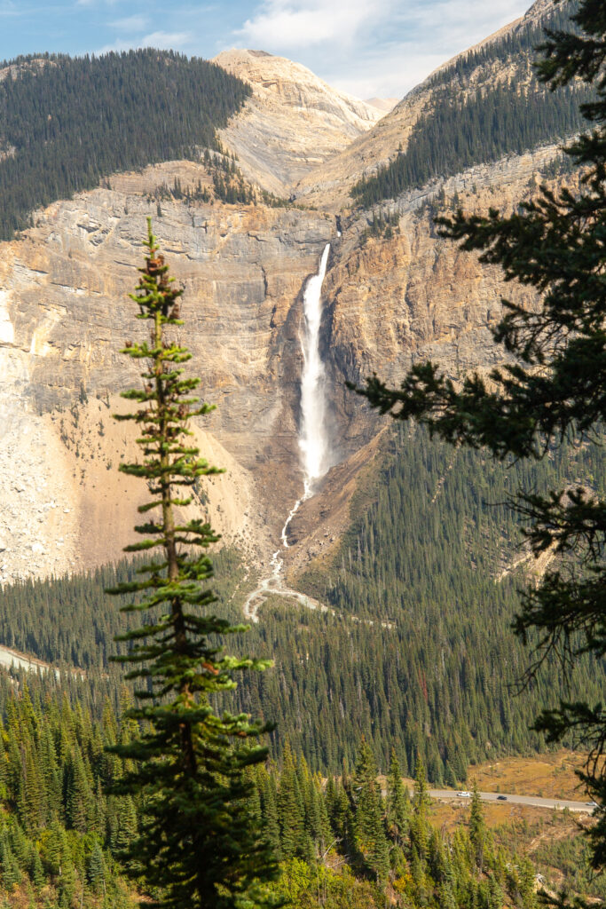
First view of Takakkaw Falls.
As our hike was nearing its conclusion I was starting to feel very tired and was finding myself wishing the hike was over. These are never good thoughts to have going through your head. After the hike on the way home I started coughing and I ended up with a little cold over the next few days which explained why I was feeling so tired.
View of Takakkaw Falls during the descent.
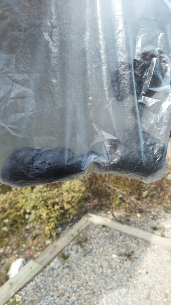
I did collect Margaux’s poo from the trip and put it in the trash before heading home.
We finished the hike at 2:30 pm. I was very relieved to see the car. Heading home we took a detour back to Field BC so I could stop in at the convenience store and buy a Coke and a chocolate bar as a little treat.
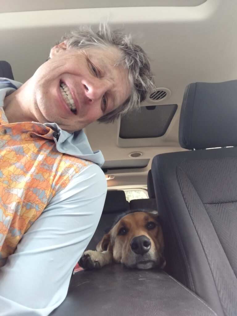
Margaux looking pretty snoozy for the drive home.
My day did not end when we got home. Just as I was heading to shower I got an email that the girls had made the volleyball finals and I should come and “cheer us on”. So I had a quick rinse and heading down to the gym. My throat was starting to get pretty ichy but the kids always appreciate it when as a teacher you watch their events. They did end up losing a close match 2 games to 1. I was very happy to get home. It had been a wonderful weekend but my cold was going to keep me down for the next couple of days.