August 20, 2023, distance 13.6 km, 767 m elevation gain, 467 m elevation loss, 5hrs 46 min.
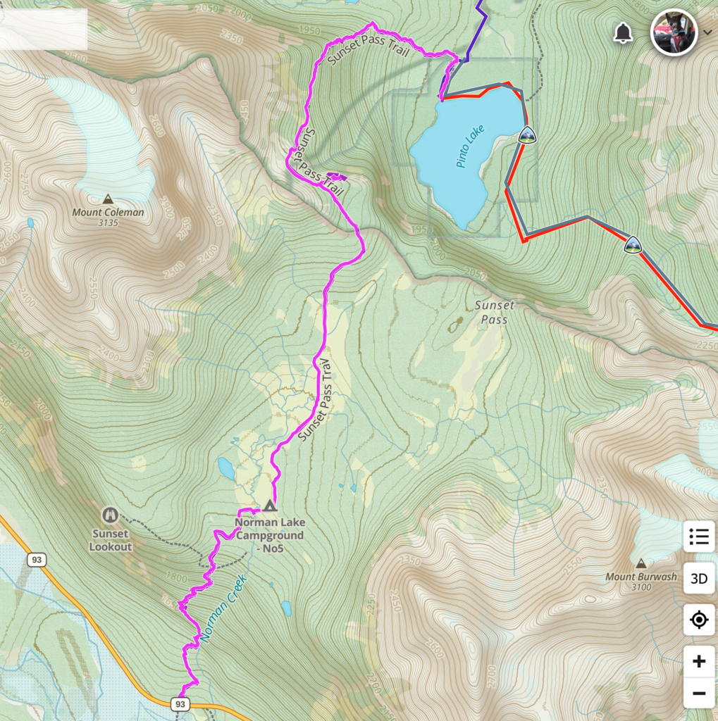

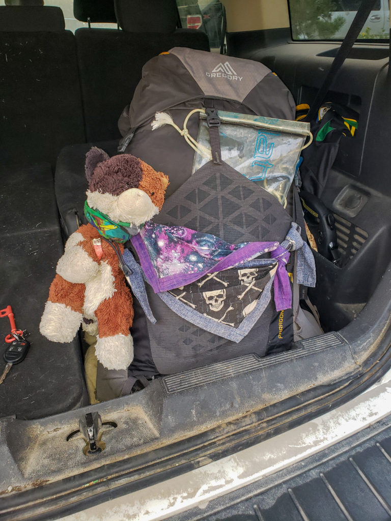
We left home at about 7:30 am. Ken came with me while the other three travelled together. We had a two hour drive up Hwy 93 up to Saskatchewan River Crossing before heading east on Hwy 11 to the parking lot for the Owen Creek Trailhead. It was a fairly new parking lot about 400 m away from the actual trail. Siobhan was leaving her car at the Owen Creek Trailhead so she could complete a point to point hike with Charlie. Kylie, Ken and I had decided on an easier out and back hike so we would be leaving my car at the trailhead for Sunset Pass/Pinto Lake. Once everyone was crammed into the car it was a quick 20 minute to the trailhead for Pinto Lake. There was smoke present in the air and while not everyone was happy with the presence of smoke it was not thick enough to consider calling off the hike, something I am not adverse to doing having do so on a couple of occasions. After the mandatory last minute adjustments to gear we were off down the trail at 10:25 am.
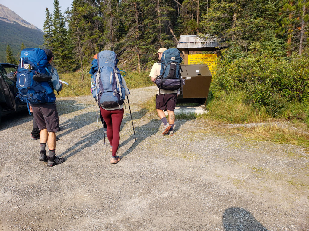
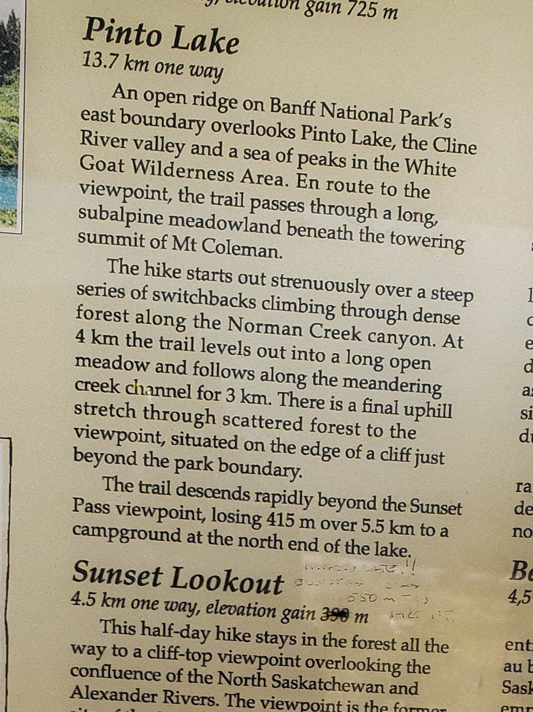
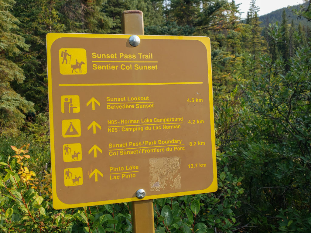
The group was loud and boisterous as Siobhan led us onto the trail. Behind Siobhan was Charlie then Kylie and Ken who were talking up a storm. Ken had taught Kylie back in her high school days and they were wrapped up in conversation all the way up the initial climb. I was happy to take up position as the caboose as it gave me the opportunity to stop and take photos if I wanted to. The climb started as we entered the forest behind the welcome sign. Lucky for the trail is an example of a well designed trail by Parks Canada meaning that it was never very steep just continually up.

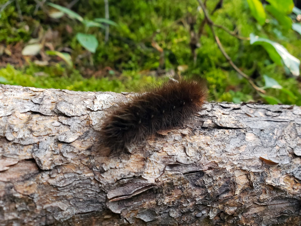
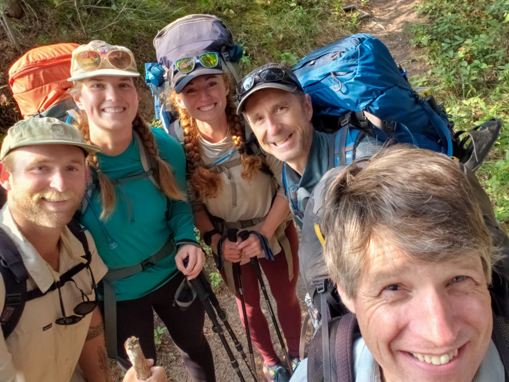
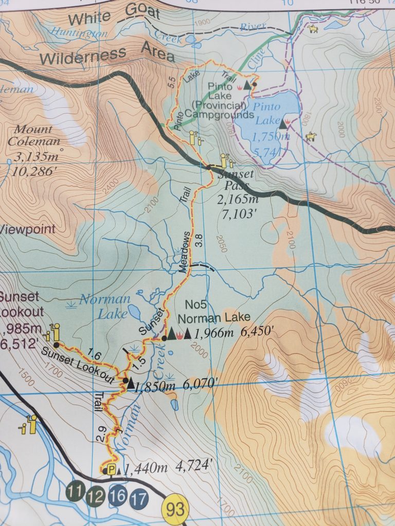
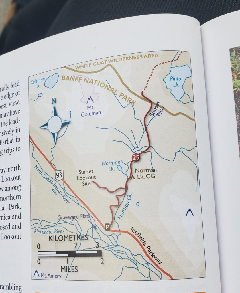
We moved quickly and in 20 minutes we had travelled 1.3 km gaining 165 m of elevation to arrive at an overlook to a lovely little waterfall on Norman Creek. It is actually quite an impressive little canyon the water has carved and is worth a good look.
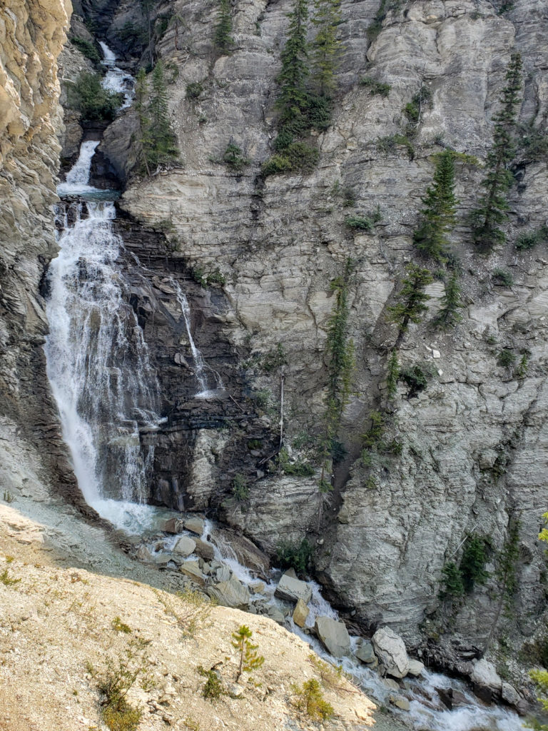
Just after the waterfall the trail traversed gently for about 300 m before shooting upward gaining over 200m of elevation in the next kilometre.
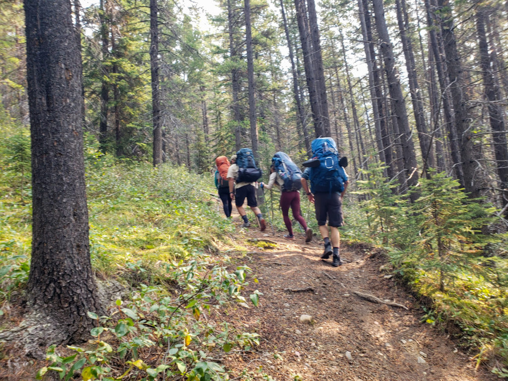
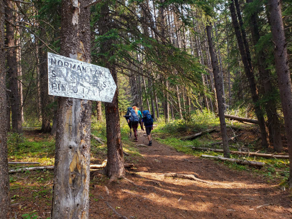
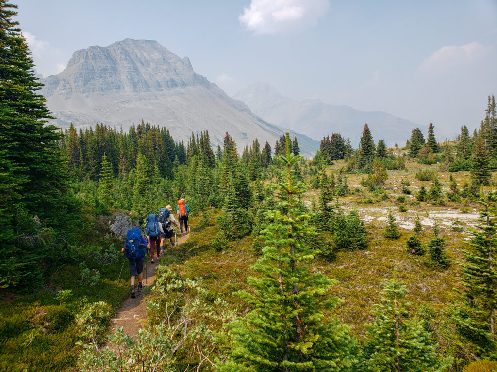
After 1 hr 10 min we passed the junction for Sunset Lookout. Shortly after the junction as we hit the 3 km mark the trail dramatically flattens out. At this point we have completed 500 m of elevation leaving us with just 200 m of elevation left for the day.
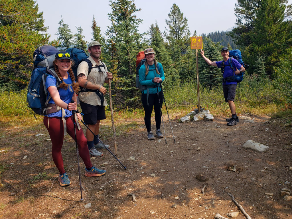
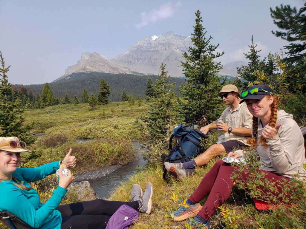
There was a short spur trail just as we crossed Norman Creek that led to a pleasant outcrop above the creek that made for a lovely setting for lunch. We did not stop for long as we had only been hiking for a couple of hours but it was good to sit down and relax the legs after the uphill effort that we had just completed.
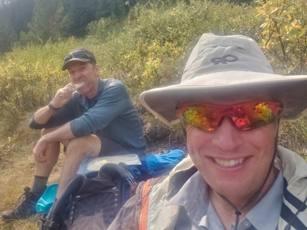
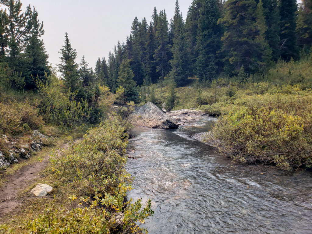
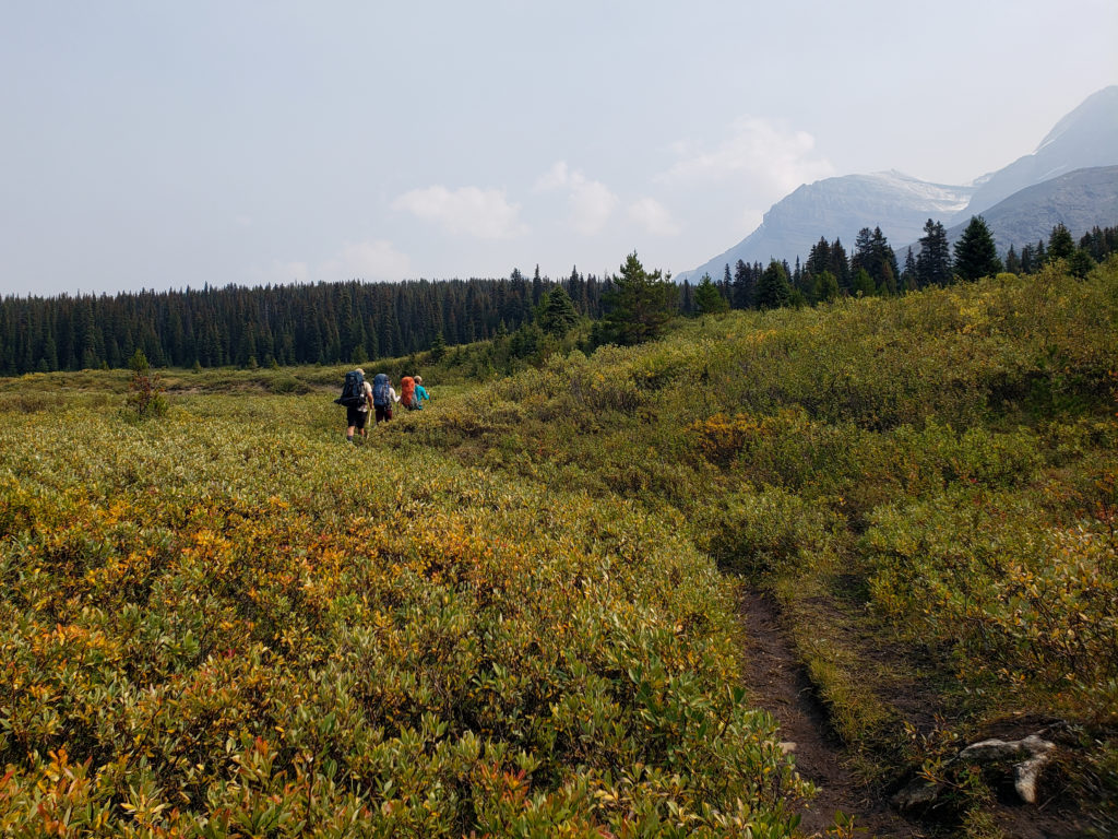
After a 20 minute lunch break we were back on trail at 12:40 pm. A quick five minutes of hiking brought us to Norman Creek Campground. The trail cuts right through the eating area but we did not stop to take a look but continued on our way to Pinto Lake.
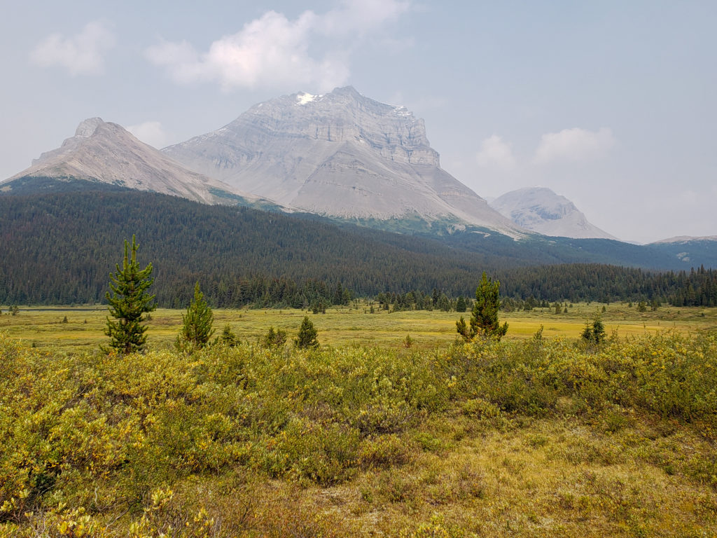
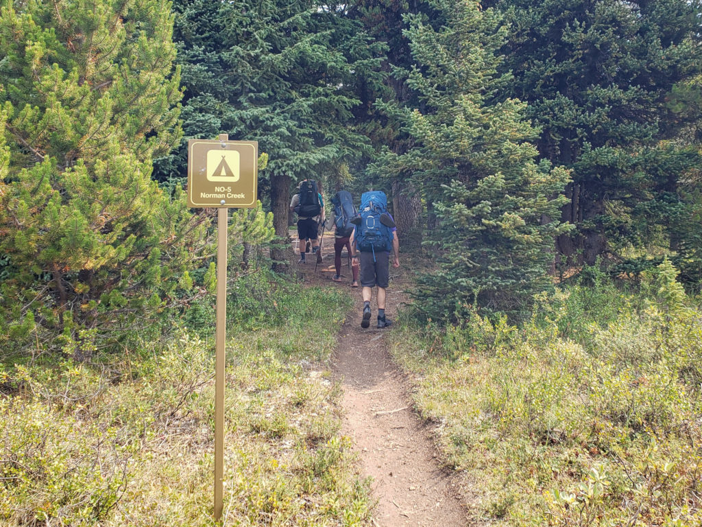
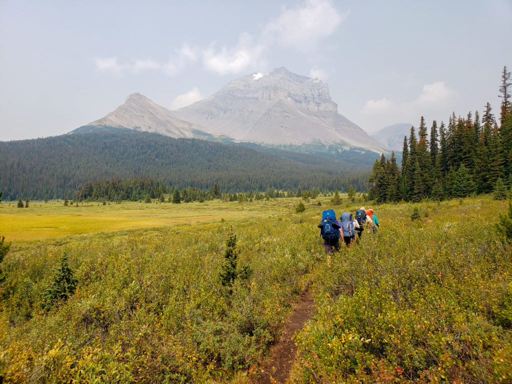
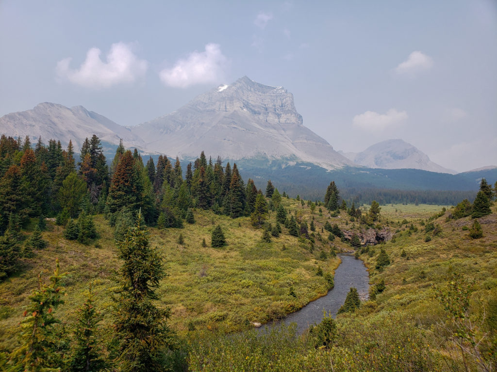
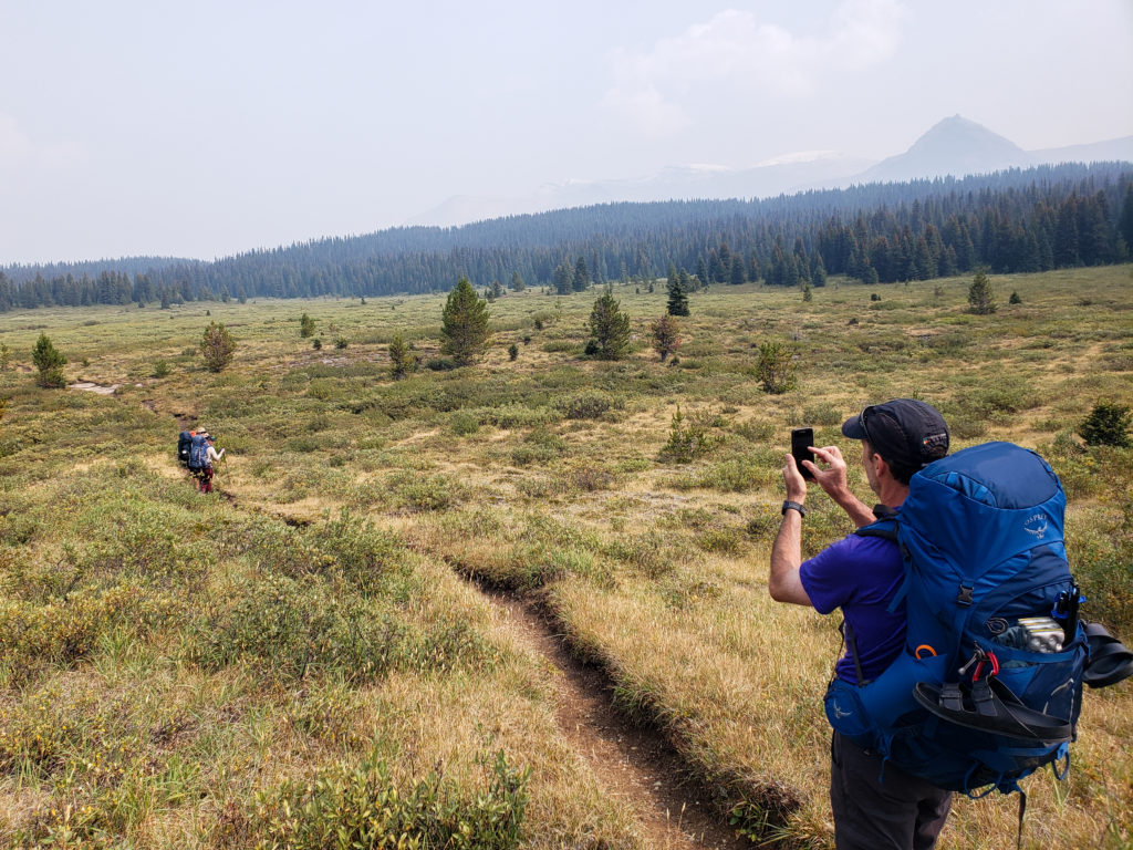
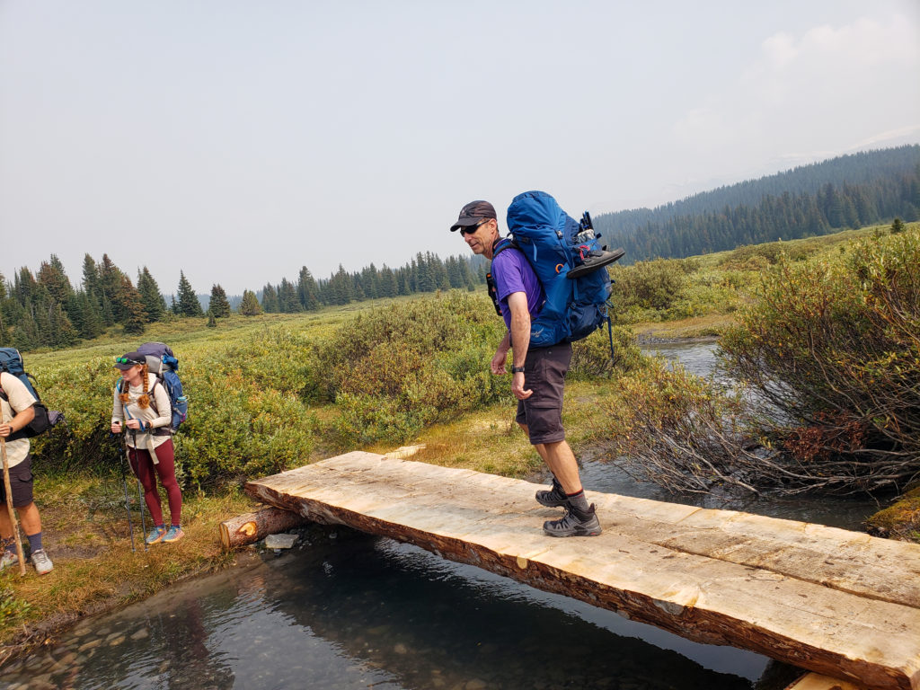
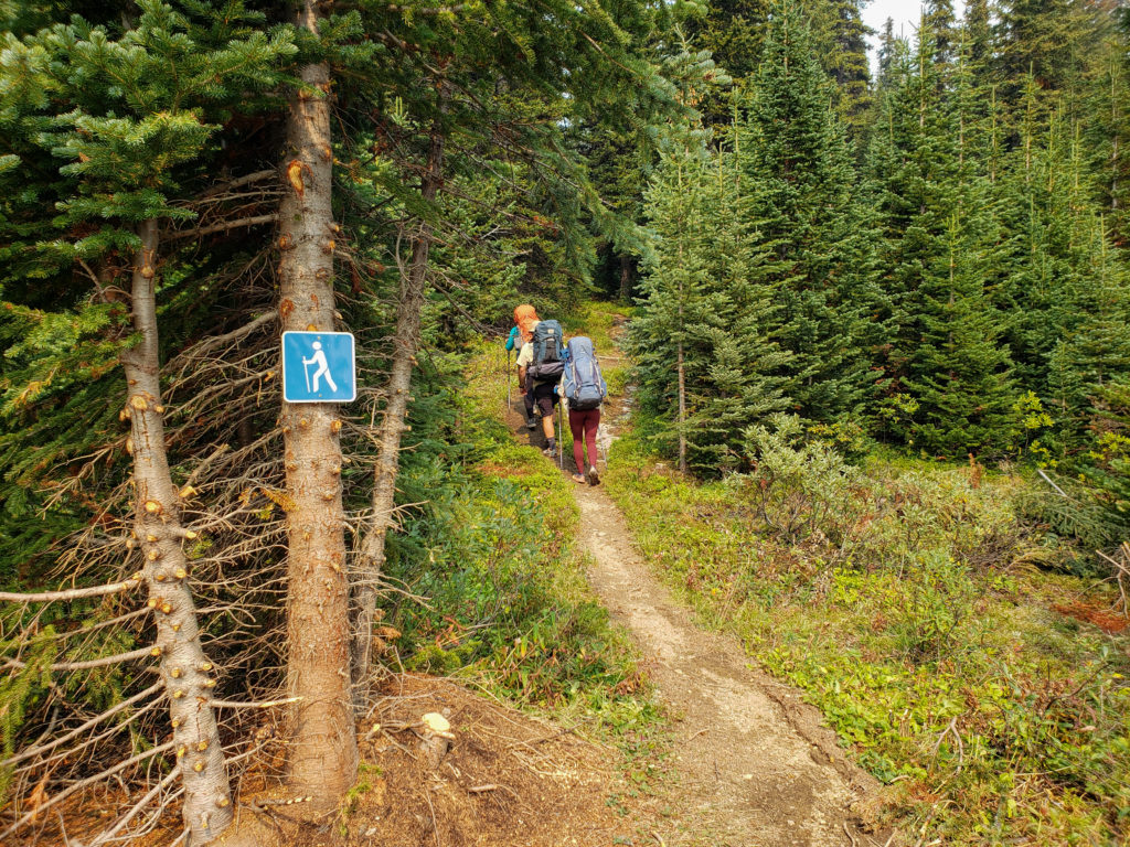
As we pass by the little hiker sign in the photo above the trail leaves the meadows and heads back into the trees. The trail sign is helpful in that it is exactly 7 km from the trailhead making this the halfway point on our journey to Pinto Lake. We have been on the trail for just over three hours.
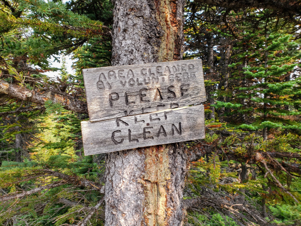
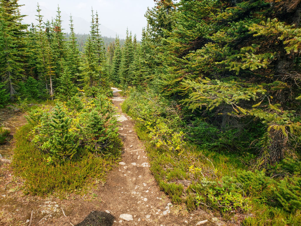
After all the meadow walking we are now buried in the trees as we gained the last little bit of elevation for the day. Waiting for us on the other side of the little forest are the rocky open spaces of Sunset Pass.
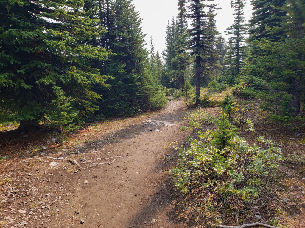
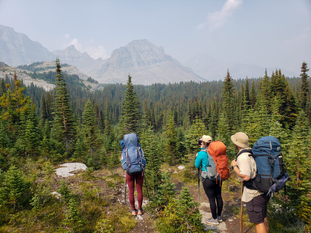
We stopped at the top of the cliffs just after Sunset Pass and did a little exploring before continuing on the trail. The area is wide and easy to access allowing for stunning views of Pinto Lake and the surrounding area. This is definitely not a place to be rushing but to be lingering.
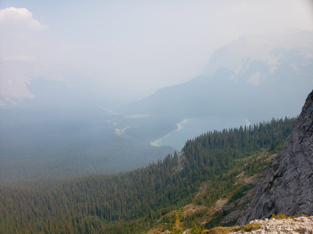
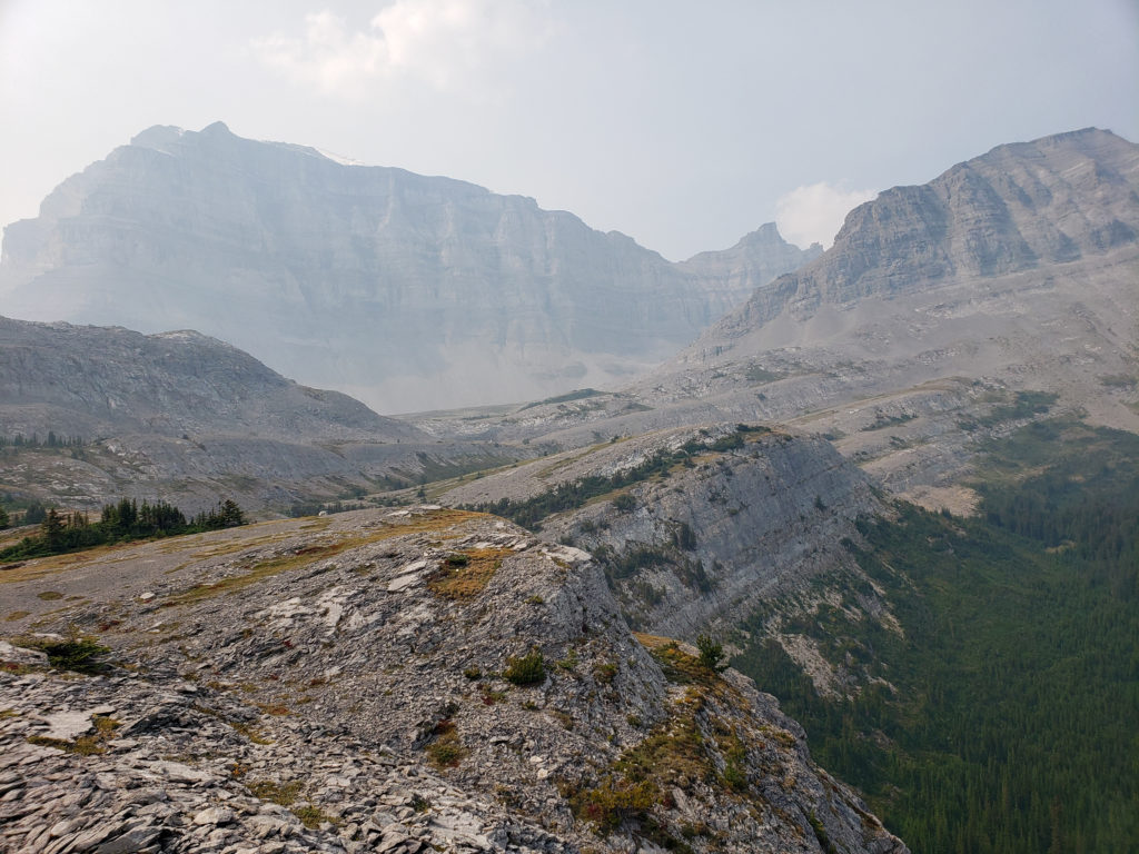
In the above photo if you look closely centre right on the photo to the cliffs above a small scree field you can make out a line that is the trail as it makes it way down through the cliffs.
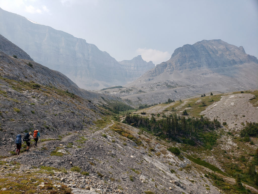
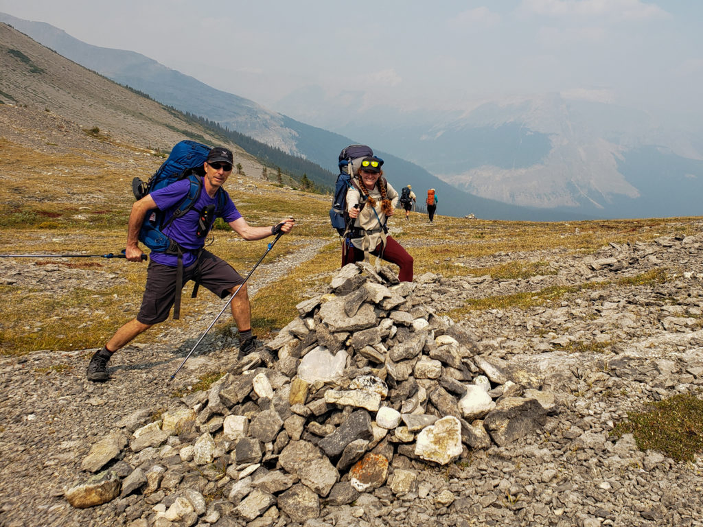
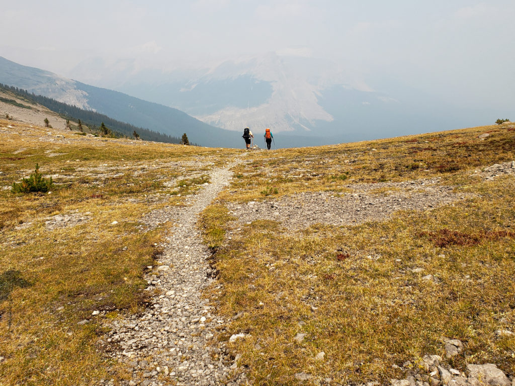
Just before we headed down off the cliff I took a quick look at my mapping app Gaia. Not sure why as the trail was pretty obvious. When I looked at my app it said that we were clearly off trail!
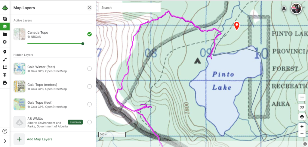
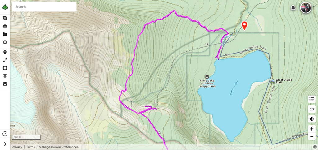
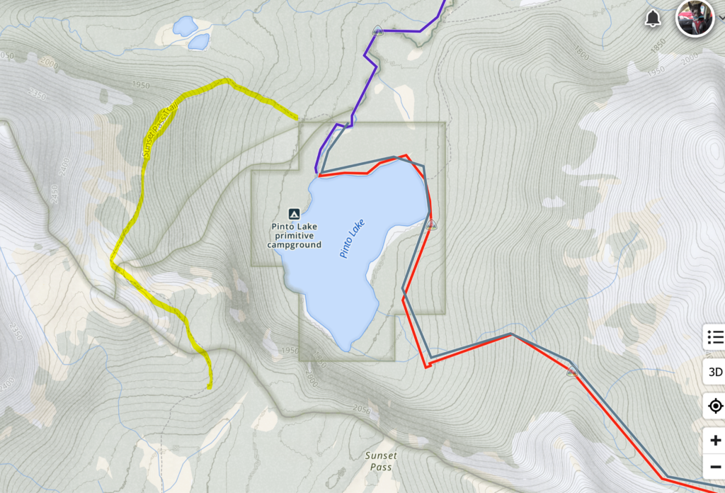
We stopped and looked at our apps. It was a little confusing for a few minutes We had been at the spot where the apps said the trail was just a few minutes before and it was a sheer cliff with no trail and now we were on a very obvious trail that was not marked on the apps. I checked a second app, FarOut, and it clearly showed that we were indeed on the correct trail. FarOut utilizes user data to build their trails while many other apps used the maps supplied by third parties with the trails marked on them (I believe AllTrails also uses user data to define where the trails are).
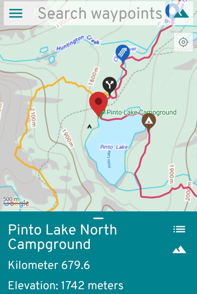
We trusted our eyes and the FarOut app and continued on our way. After we got home I sent pictures to both Gaia (the app) and Alberta Parks (responsible for the map) and Ken contacted Canada Topo. Neither of us received a response back so I figured the issue had fallen on deaf ears. I did find online two reviews as recently as 2020 talking about a short cut over the cliff using a rope already tied in place. We saw no sign of the rope. When writing up this report and revisiting the hike on the Gaia app for details I noticed that the old route has been removed and the route that we took was now displayed on the app.
During my research about the trail I discovered that Pinto Lake was named for a packhorse on A.P. Coleman’s 1893 expedition through the area.
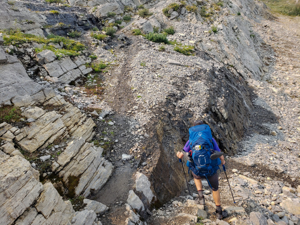
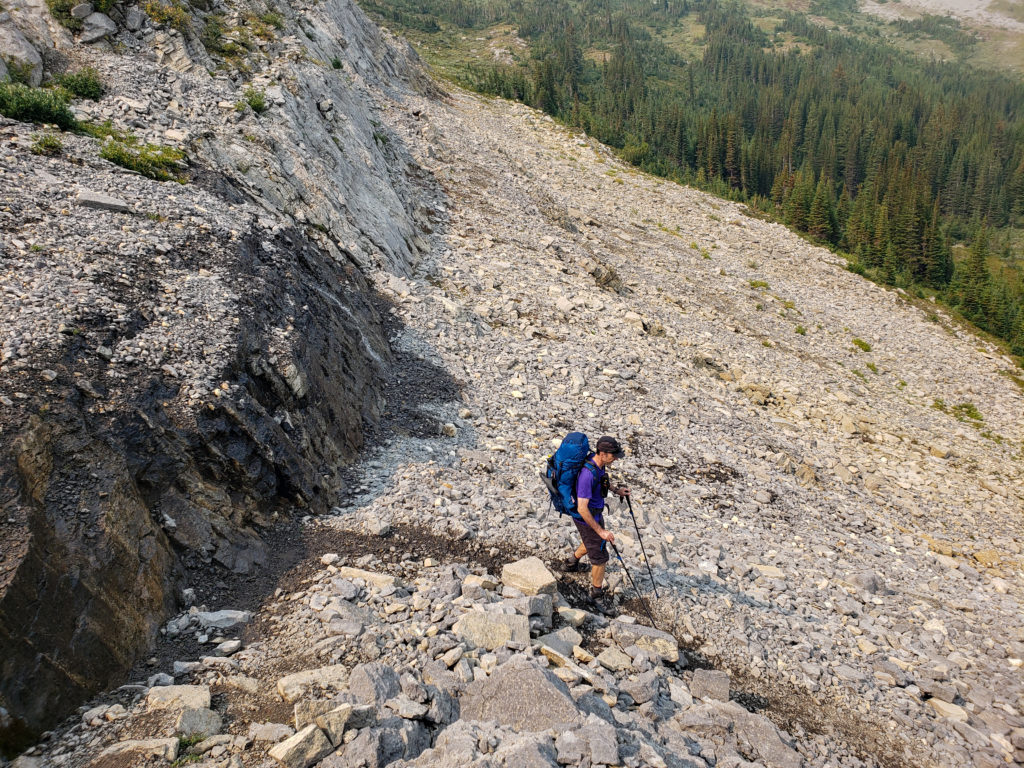
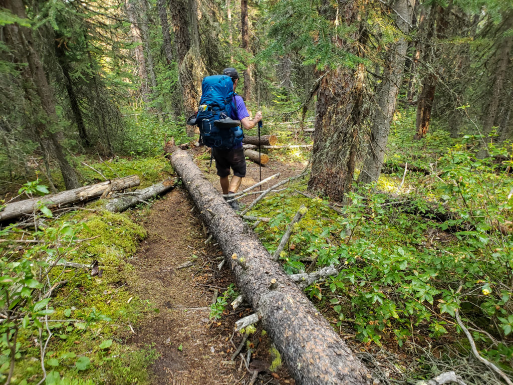
The descent was slowed by the large amount of deadfall that littered the trail. The entire descent from the high point on the trail took us just over an hour dropping 445 m over 2.5 km. While the trail conditions were not great they were better than some parts of Section D on the Great Divide Trail.
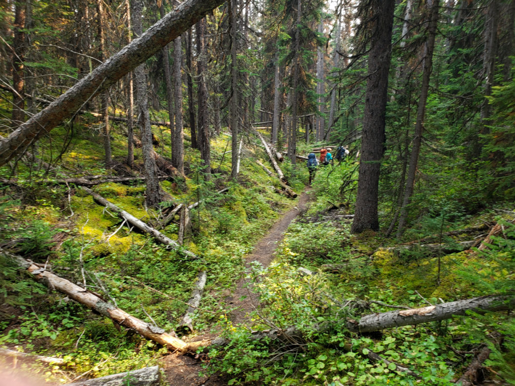
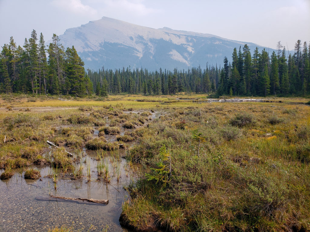
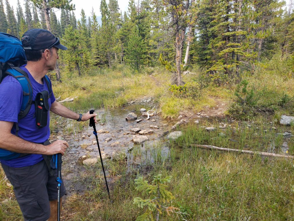
Once out of the forest the trail intersects with the Cline river. Once at the river the trail turns to the right and then follows the western bank of the river all the way to our campground and Pinto Lake . The trail is not in great shape and it took us about 18 minutes to hike the mostly flat 1 km to the the lake.
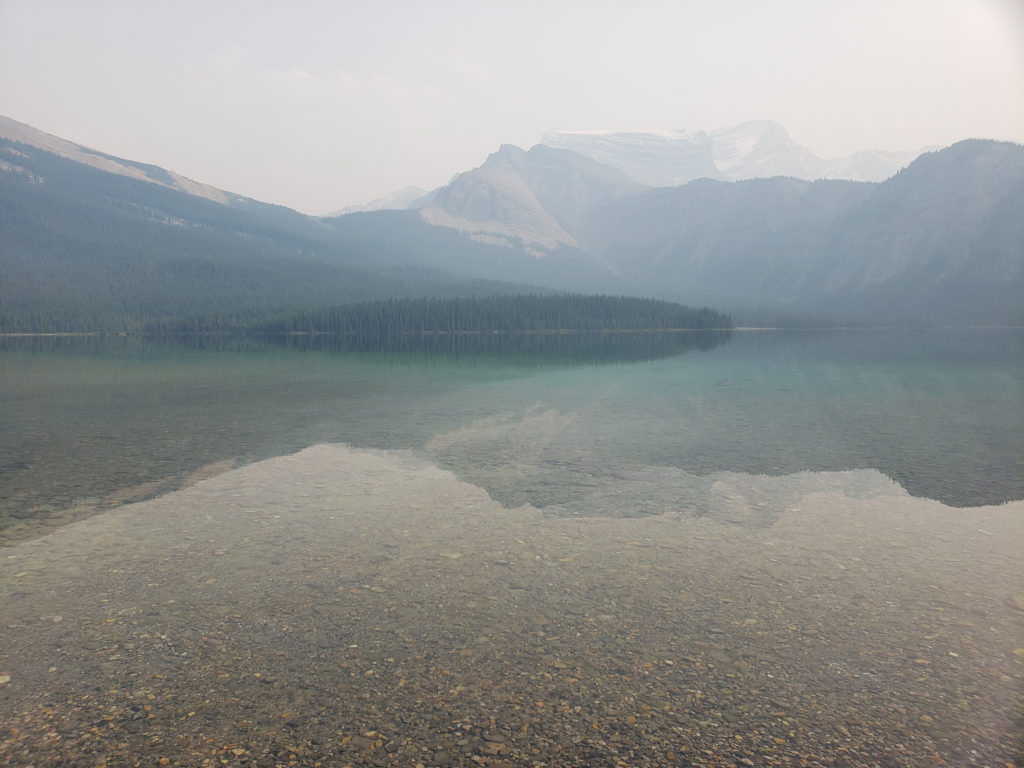
Once at the lake we all dropped our packs and spent some time just relaxing. The temperature was not hot but it was pleasant enough to allow Siobhan and Charlie to got for a quick swim. I am quite sure it was refreshing but I was happy to play spectator.
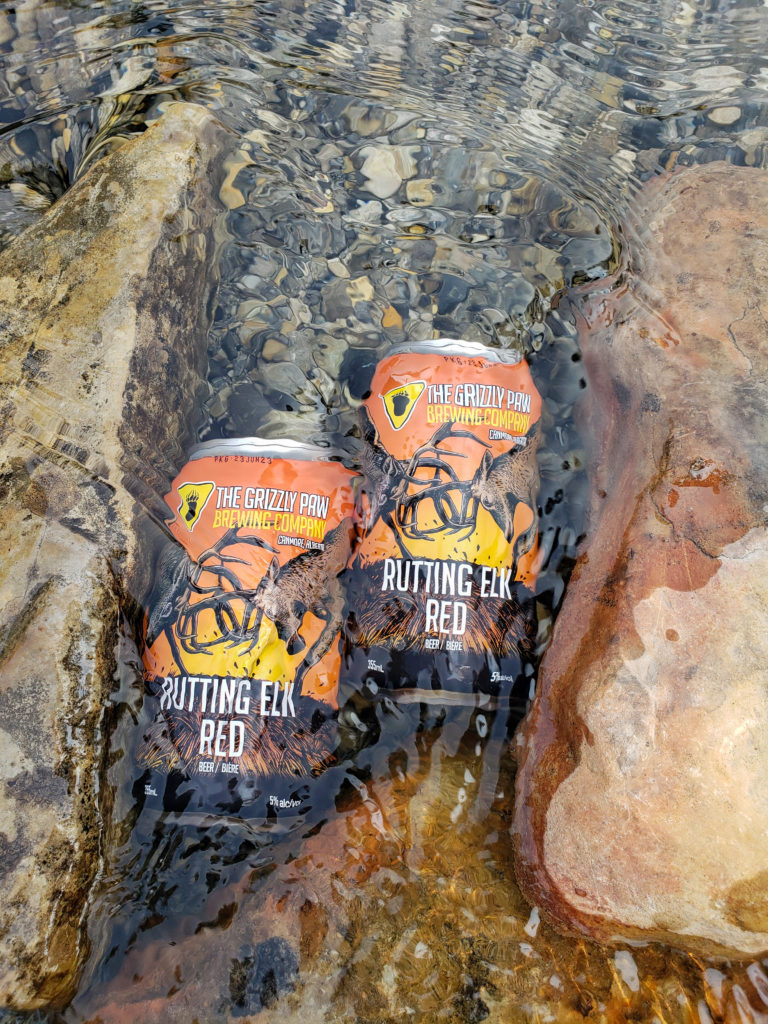
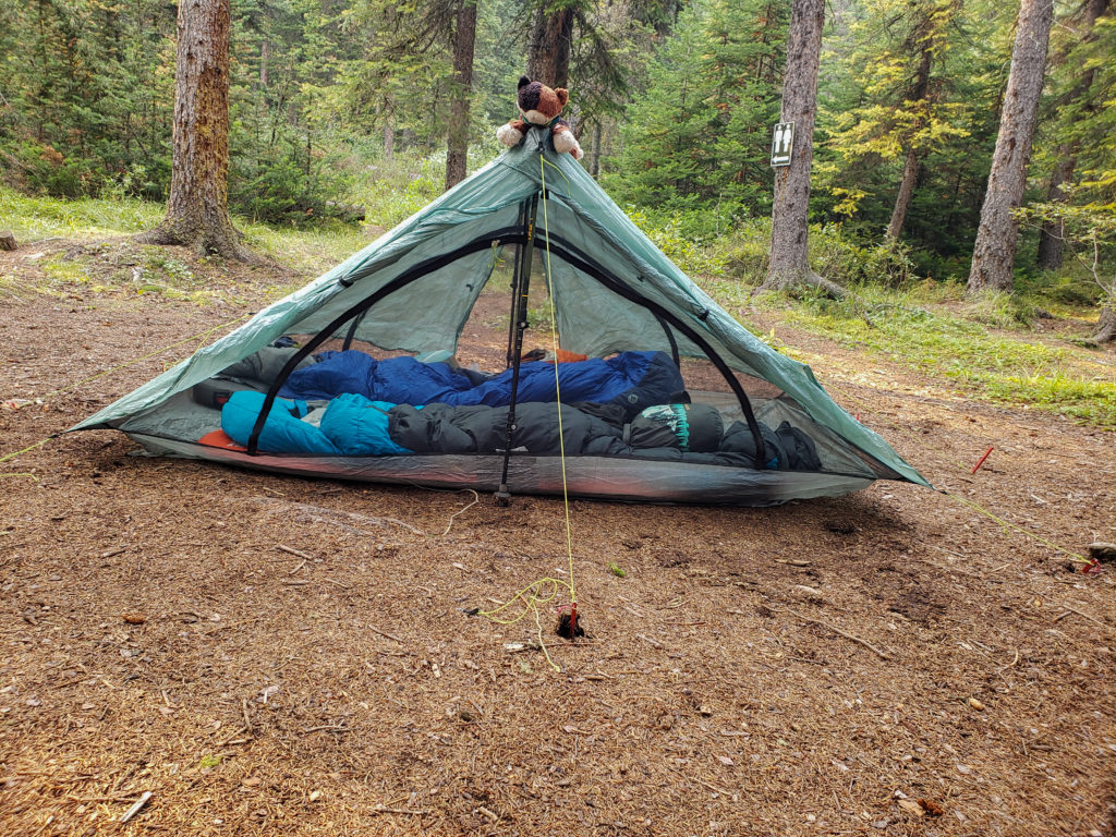
There was no rain in the forecast so we did not rush hard in camp to get set up. After relaxing by the lake we all took our time setting up the tents. The campground has no official tent pads but the camping area is lovely and soft thanks to the pine needs carpeting the ground.
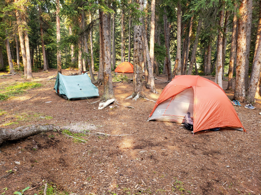
As we were getting set up a small group came by heading for their campground which was on our side of the lake but another 1 km walk from our campground. It is not indicated on our map but there at least three campground locations at Pinto Lake. The group was enjoying an extended stay at Pinto Lake. They where finishing their third full day in the area before heading back the tomorrow over Sunset Pass. What really caught my eye was that they had brought their doggie with them. I did manage to get some quick cuddles. Seeing the dog did make me wonder why I had not brought Margaux with us. Quite the oversight now that I think back on the trip.
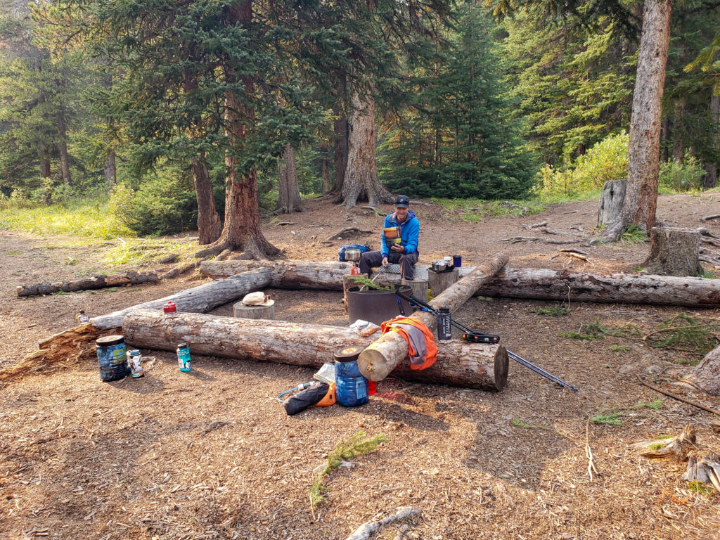
When I was last at Pinto Lake during my Great Divide Trail Section E trip in 2021 food storage was a questionable bear hang. Not sure if it is related to now having to pay to stay at Pinto Lake but the food storage this year was in brand new bear lockers. I had brought my trusty bear canister so I was able to leave the lockers to others.
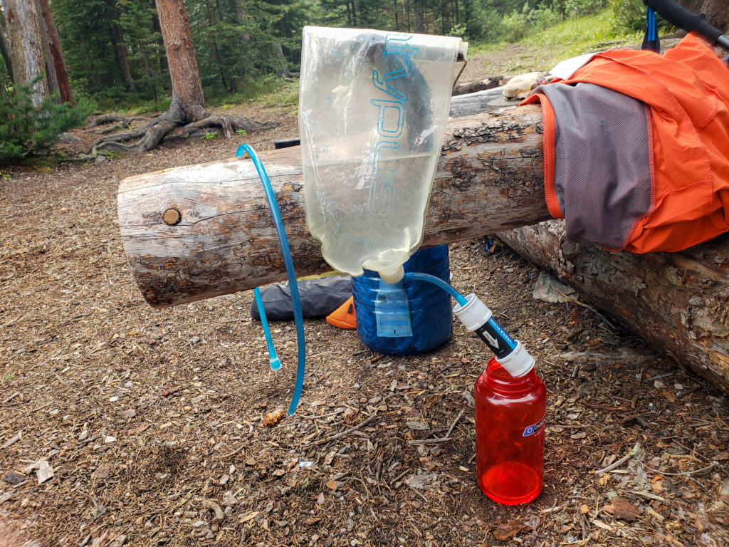
During dinner a couple of Great Divide Trail hikers arrived one heading north and the other southbound. They sat together at first trading intel on the trails they had just completed filling in each other on what to expect.
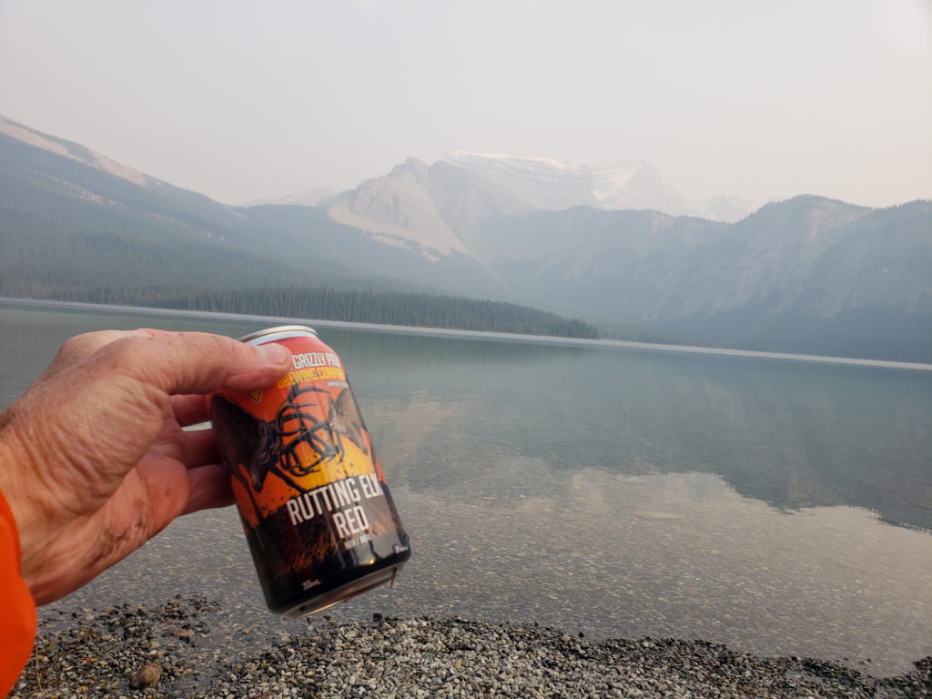
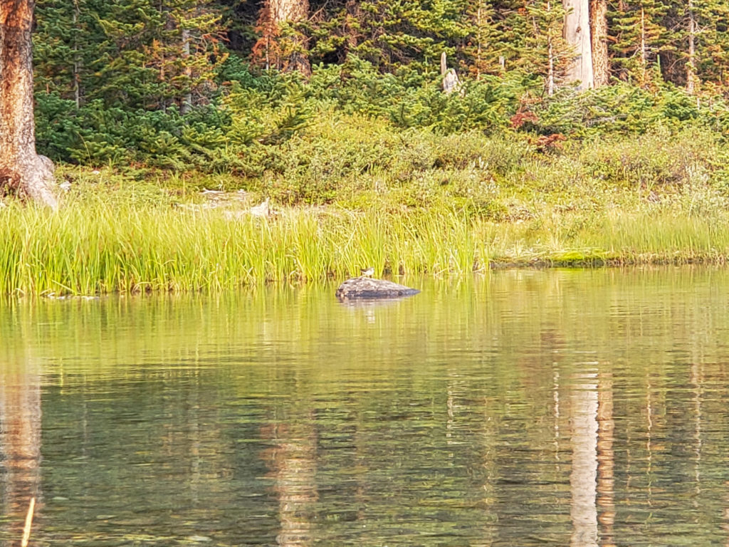
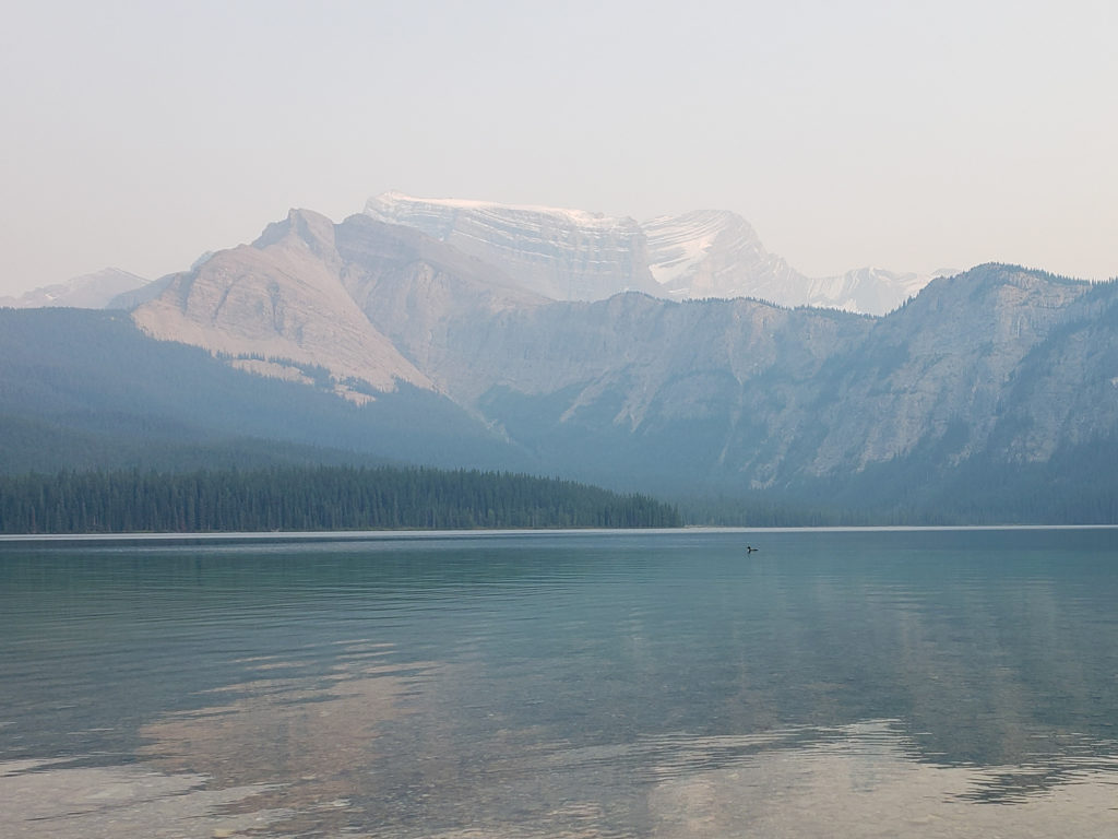
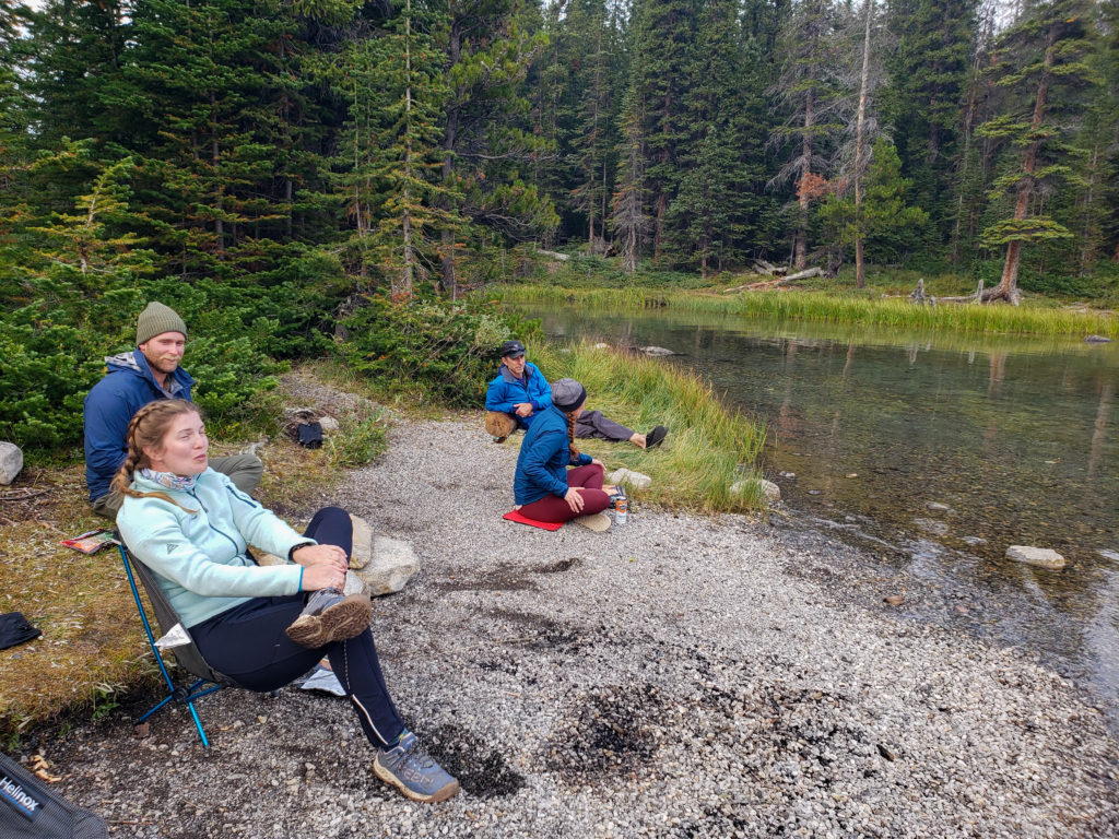

A little later after they had set up their tents I noticed the northbound hiker had a Zpacks Plex tent. The Plex model requires a trekking pole to erect but he was using a stick. Talking with him he had broken both his poles so using a stick was the best he could do. I had brought with me a 48″ Zpacks tent pole as it had packed with my tent but I did not require it on this trip as I was supporting my tent with trekking poles. I offered to lend him my tent pole for the rest of the trip and I gave him my contact information so he could return on his way back through Canmore. He was very appreciative and promised to be in touch at the end of his hike. Quick update I never did get my pole back. After dinner the two hikers where quite chatty but with the temperature dropping and big days ahead of them tomorrow they both headed off to bed early.
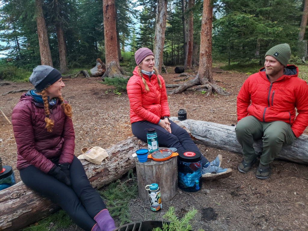
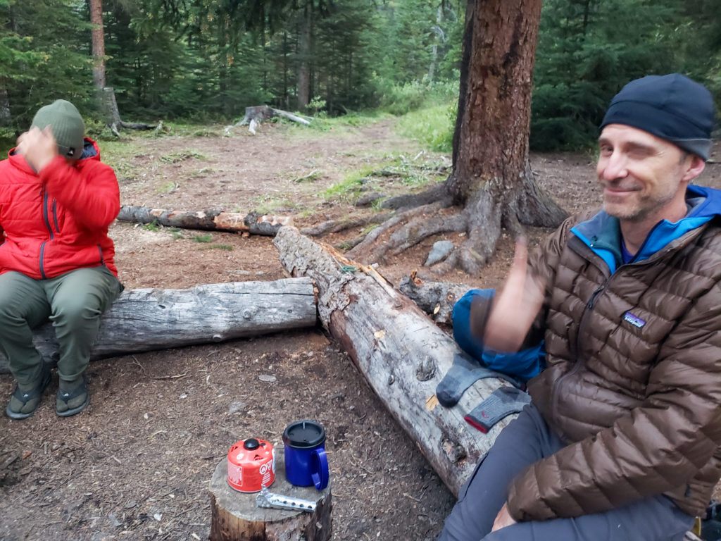
No one else turned up at the campground on this night. We did not have a fire so as darkness began to settle in we all just headed for bed. End of great first day of a chill little trip to Pinto Lake.
