Day 1 Paint Pots to Helmet Falls CG, 15.3 km, Elevation Gain 750 m, Elevation Loss 420 m, 3hrs 38 min.
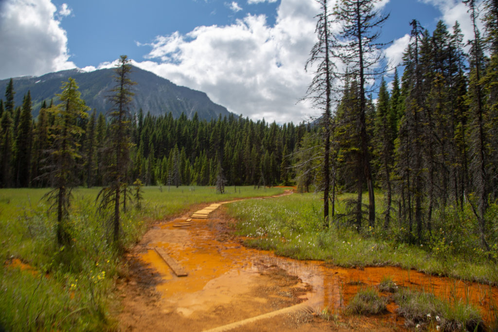
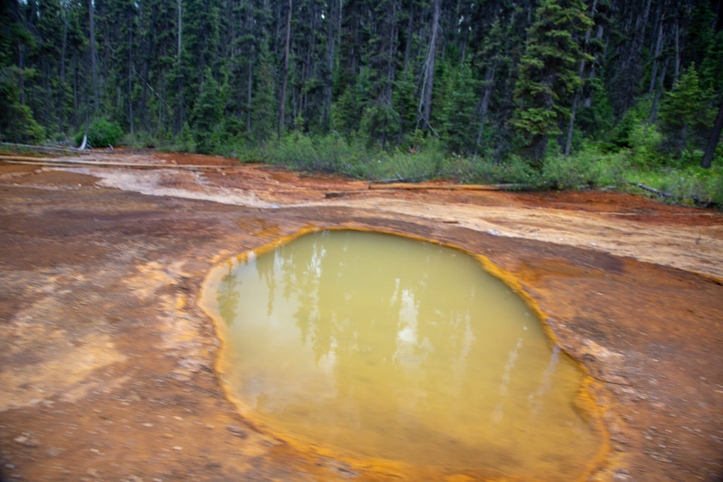
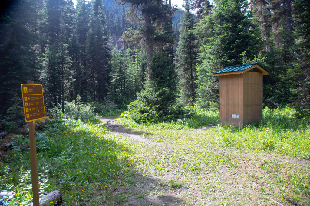
I finished summer school at about 1:45 pm and rushed out to the car. I was already dressed for hiking (the students did not notice my change of clothes since school was online) so I was able to leave right from school and drive to trailhead at the Paint Pots located on Hwy 93 South to Radium. Arriving in the middle of the afternoon I was actually lucky to find a parking spot. The parking area is for those hiking the Rockwall Trail but also for people who want to go view the Paint Pots which is a great little family hike. The Paint Pots are iron rich mineral springs that bubble up to the surface and then spill over the top of the “pots” and paint their surrounding with a deep ochre colour. The Paint Pots are considered a sacred site by the Ktunaxa First Peoples of Columbia Valley so it is considerate if visitors look but do not disturb the pots and the ochre. The trail for the Paint Pots is officially just 2 km out and back, I measured it as only 0.7km one way and does include a lovely bridge over the Vermilion River.
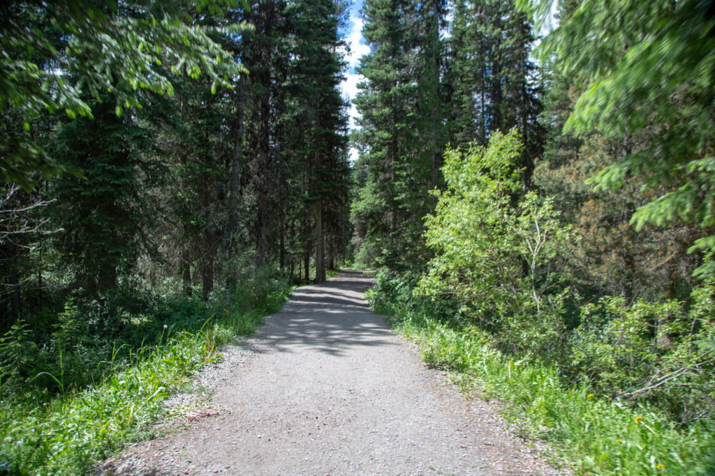
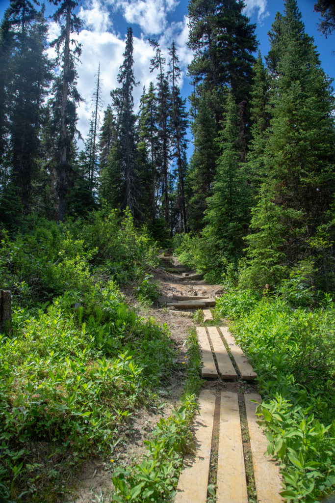
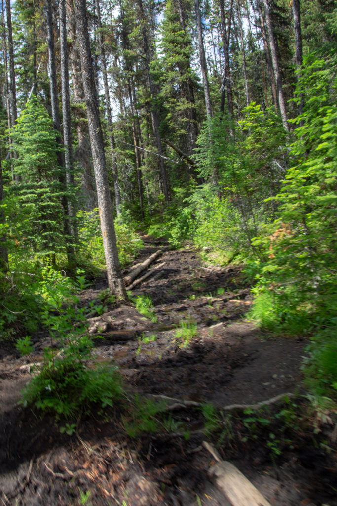
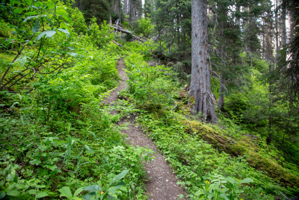
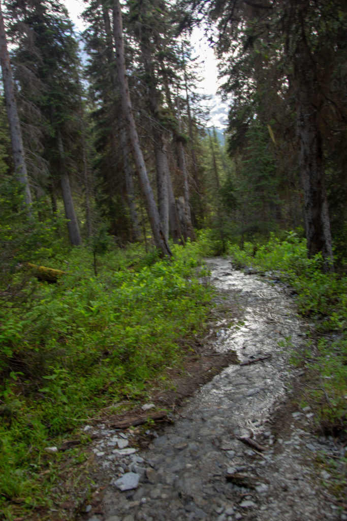
Leaving the Paint Pots the trail heads up what would be a very muddy climb if it was not for the boardwalk. The trail remains smuddy and rooty for about 1 km passed the end of the boardwalk. This made going a little slow but as I was in a rush and wearing boots I just plowed right through the mud. Happily as I passed the junction with the trail to Marble Canyon the mud disappeared.
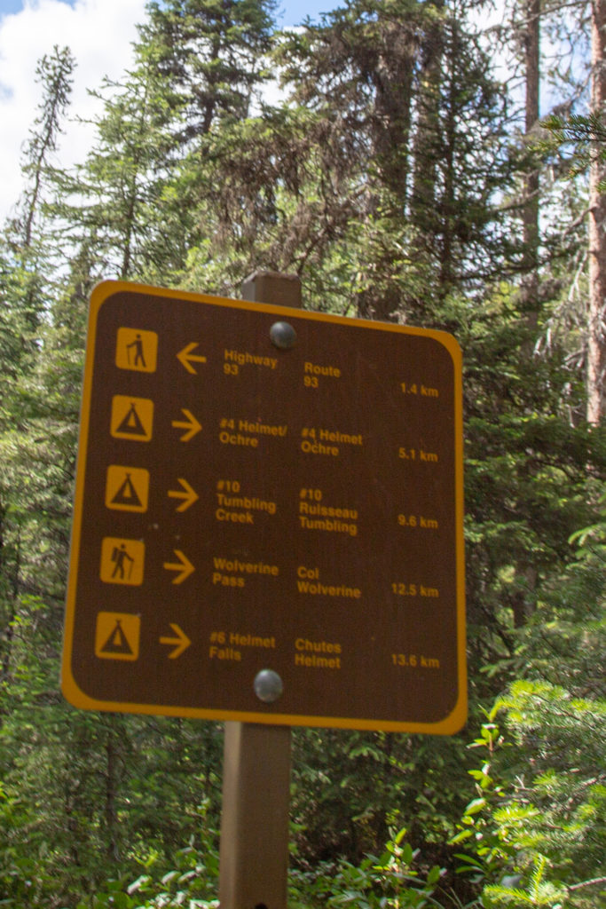
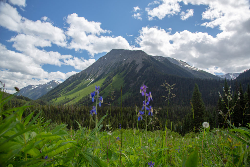
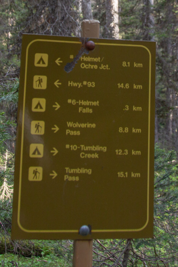
As the trail dried out I was able to up my pace. Luckily for me much of this section of the hike was deep in the trees with only occasional views. I was in a rush to get the campground so was trying to maintain as fast a pace as possible. This did not mean that I did not stop to take photos but the stopping was minimized. I was delayed on my quest for a few minutes to clean up some garbage that was strewn across on the trail. Someone had dropped or dumped their empty dried meal packages. More maddening was that I had passed at least a dozen people coming the other way who must have walked right passed the garbage. I tidied it up and left it in a obvious location near a log to pick up on the way back. When we came by on Day 3 the garbage was not to be found. It took me 55 minutes to reach the junction to Tumbling Creek CG a distance of just over 4 km. I would be coming down this trail on the way home on day 3.
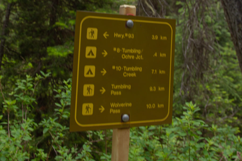
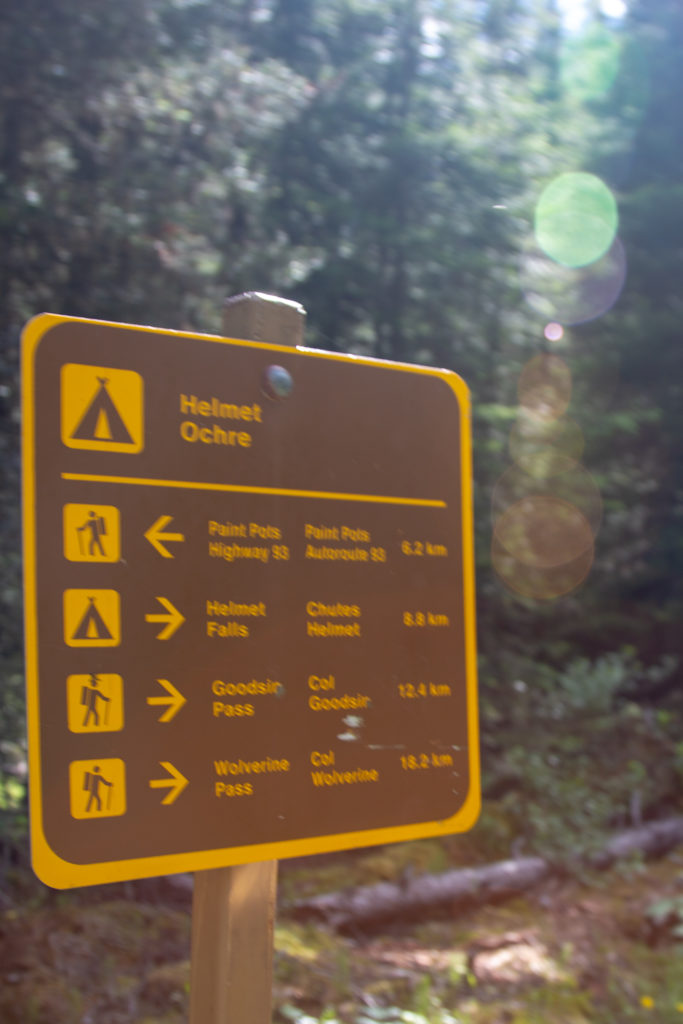
After the junction to Tumbling Creek CG I covered the 2.6 km to Helmet Ochre Campground in under 30 minutes. This included a stop to tend to hotspot on my foot. I had completed 6.2 km in 1.5 hrs and had 8 km to go. With a bit of luck I was on track to make it to the campground in under 4 hrs.
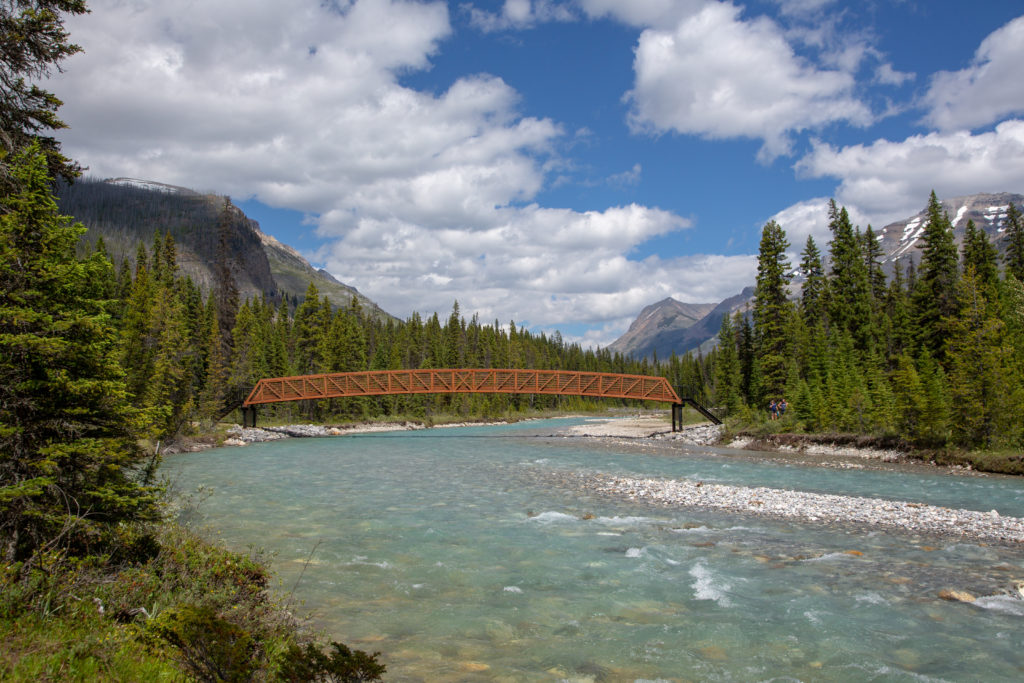
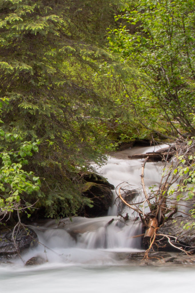
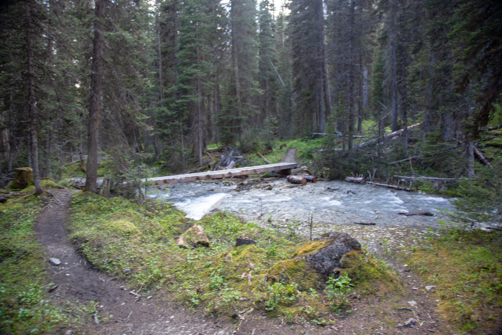
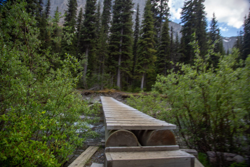
Only a few minutes after leaving the campground I spied a small tumbling creek on the other side of Ochre Creek. I stopped for a few minutes to take pictures trying to do a long exposure picture by using well placed rocks in lieu of my tripod. The photos appeared to have worked out pretty well but I would not really know until I looked at them at home. I then crossed a very sturdy bridge and pausing midway across to take some pictures of Ochre Creek.
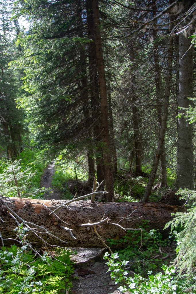
The next stretch of trail was moderately uphill.This was the largest elevation gain for the day rising 150 m in 2 km, not exactly steep. The trail would stay well above the creek for the next 4 km. I did meet a few people heading the other way. A few were hiking just to Helmet Ochre CG but one couple where heading out to their vehicle. My pace on this stretch was impeded by the many downed trees blocking the trail. I lost count how many trees I had to detour around or climb over. It did made the trail fun as there was not whole lot of opportunity for views with the thick forest overhead. I got lucky going over a tree in my haste to rush forward over the tree and I lost forward momentum and fell backward landing on my pack. Luckily there were no rocks or stumps where I landed which could of had dire consequences for my trip. The fall was a good reminder that even when rushing going slower can be faster and safer.
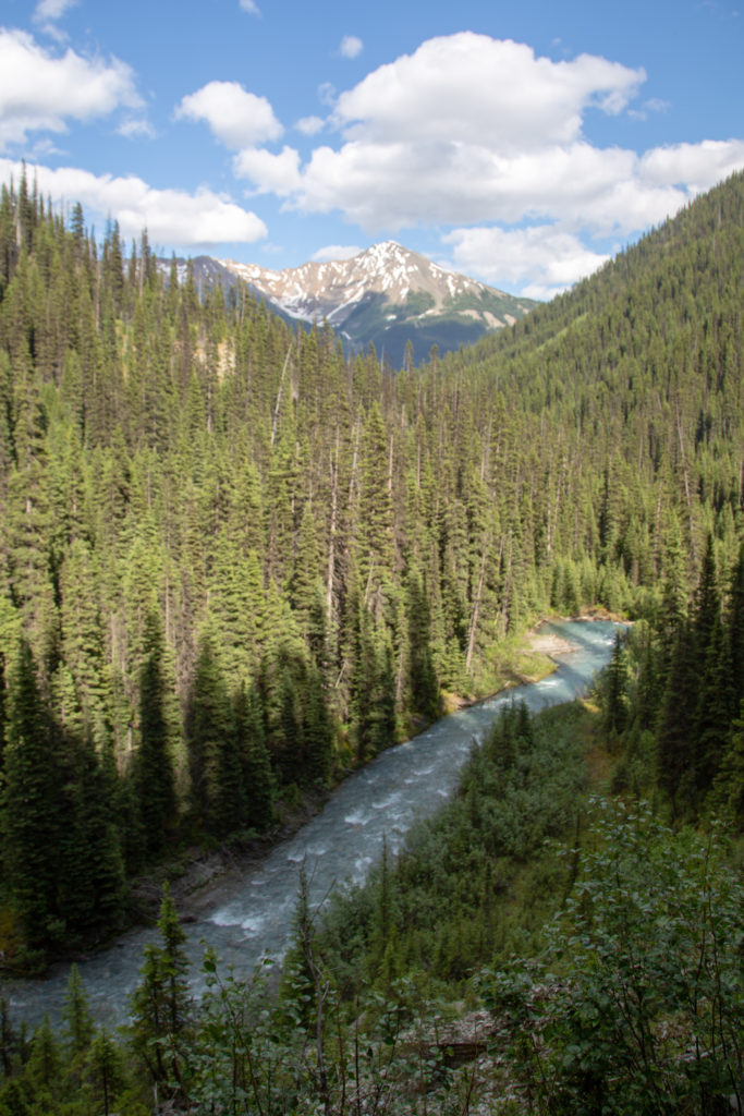
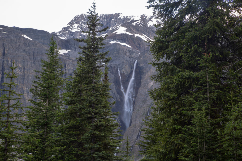
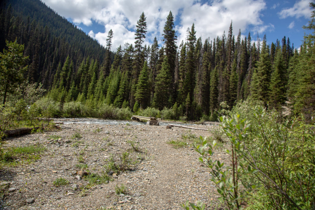
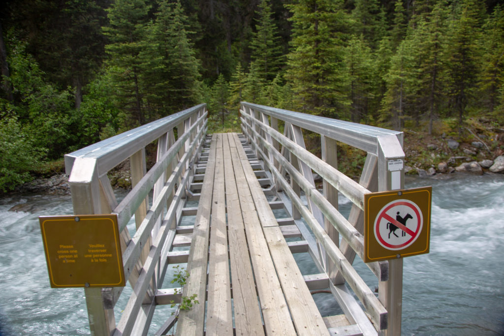
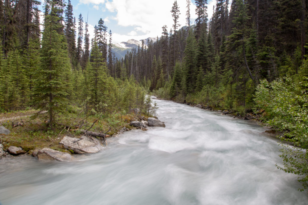
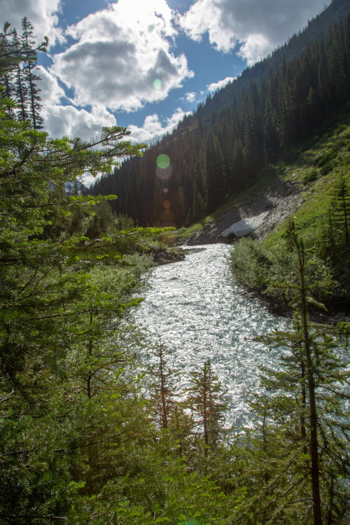
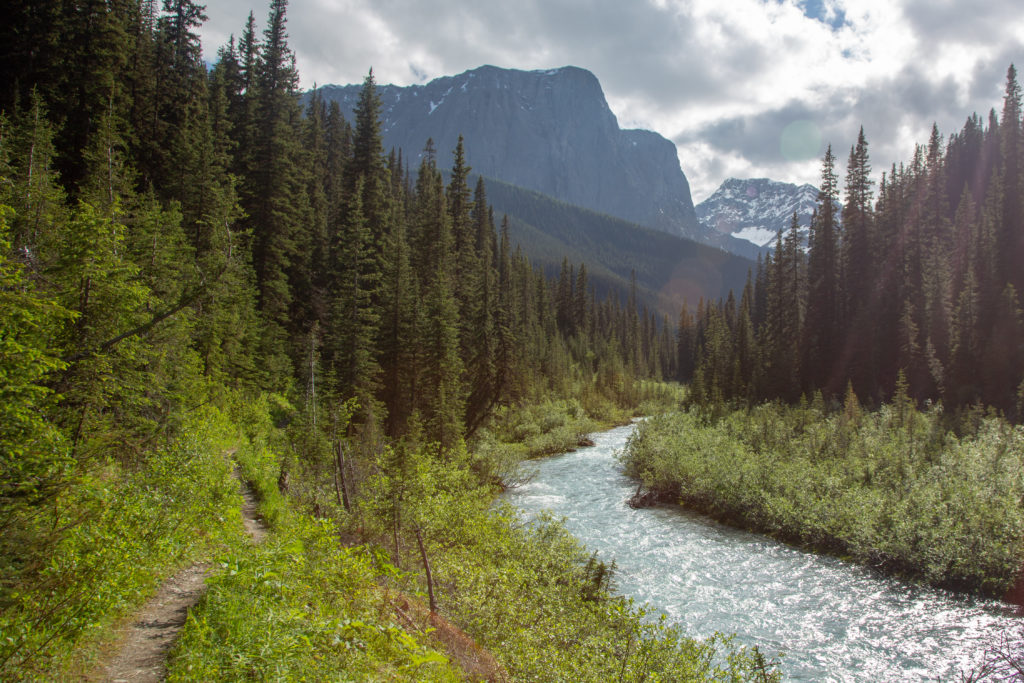
The trail came back to the river just past a distance of 10.5 km. It had been 2 hrs 45 min since I left the car and I was still on pace to arrive in under 4 hours. The trail did not so much as drop down to the river as the river came up to the trail. The trail would remain at river level all the way to the campground. There was very cool suspension bridge at the 12 km mark. The bridge was short, high and bouncy. The first views of Helmet Falls came at about the 13.5 km mark. Almost there.
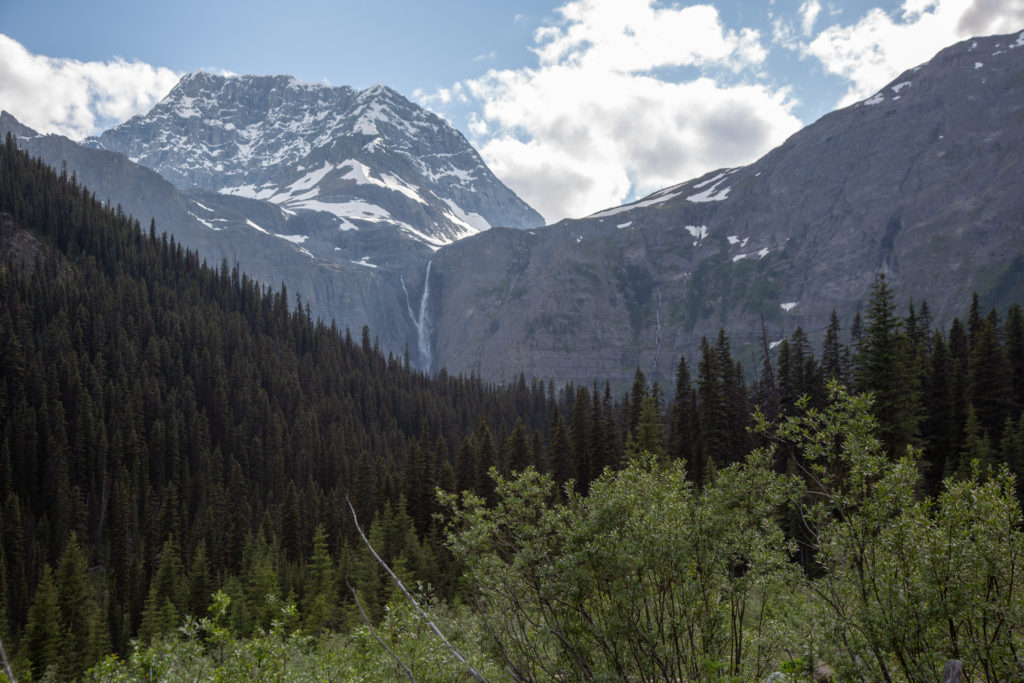
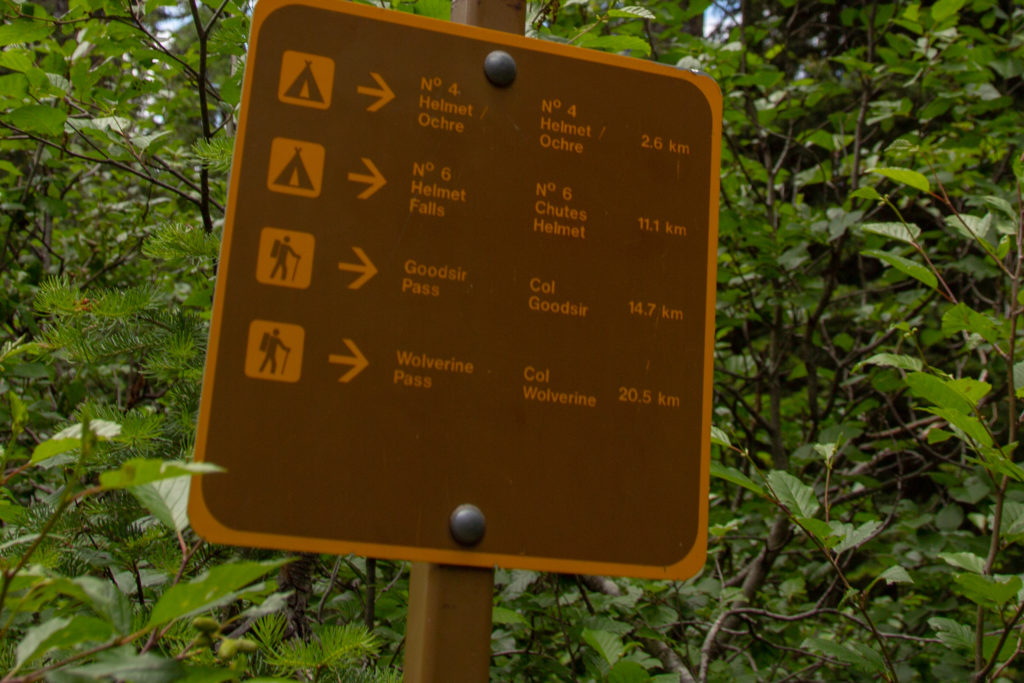
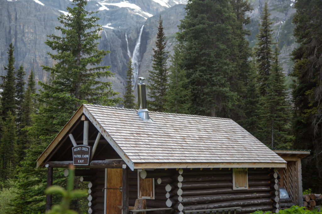
I flew by the junction to Goodsir Pass a trail that I would be taking later in the summer when I would be hiking the Great Divide Trail. A short log bridge crossing of a small creek lead to an open area and the Parks Canada Patrol Cabin (not occupied) and another view of Helmet Falls.
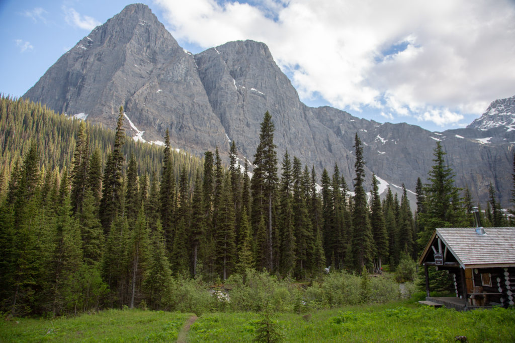
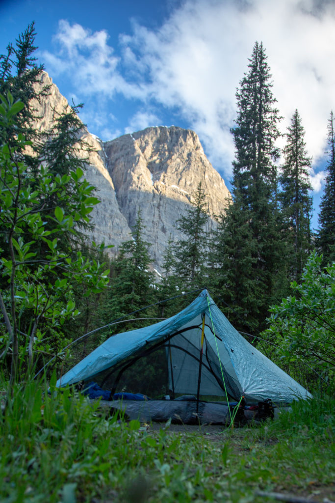
Arrived at Helmet Falls Campground at 6:47 pm now had to find Ken and Neil. Finding Ken and Neil turned out to be quite easy. I ran into a young women and asked if she had seen a couple of brothers who were camping here. She informed that she was actually having dinner with them! A quick trip to the dinning area and I found Ken and Neil. After quick introductions Ken lead to where they were camped and the site that had held for me. My site had a nice view of Limestone Peak and was adjacent to a small creek. The campground is actually perched on a little island surrounded by two creeks. I threw my tent down on the spot and grabbed my food to go join dinner but not before I had put a couple of beers in the creek to chill.
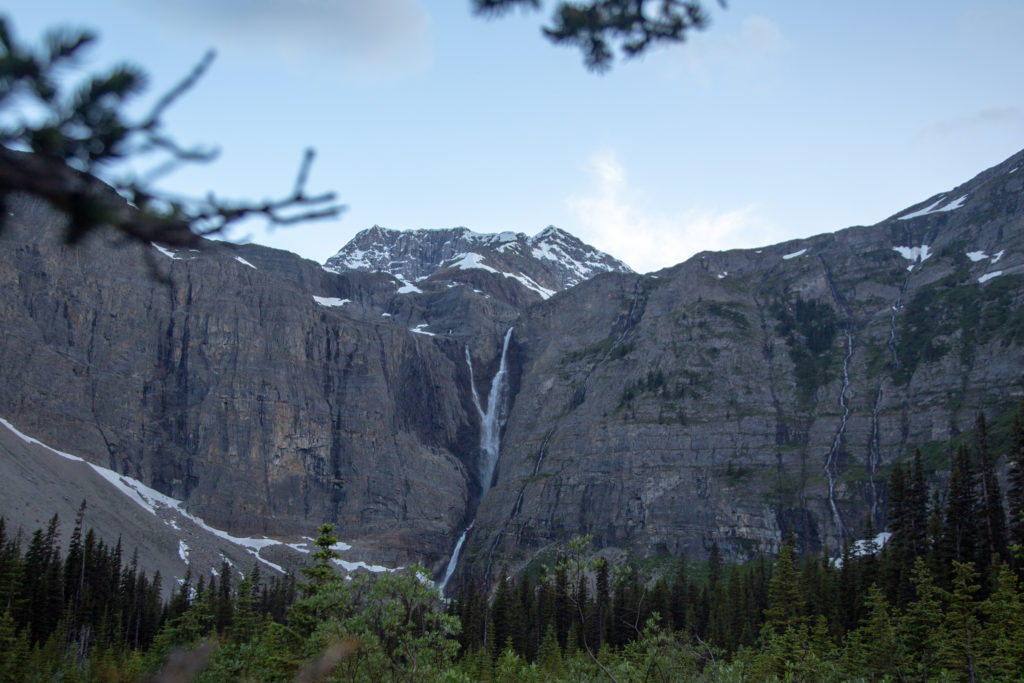
I joined in with the discussion at dinner. The young ladies that Ken and Neil where talking to had already had quite the adventure and what kept coming up was the wine the had brought. Mostly the quantity. They had packed 4.5 L of wine for a three day trip. During dinner they were being very generous in sharing their wine in effort to be both friendly and to lighten their load for tomorrow when like us they would be heading to Tumbling Creek CG. Dinner was an extended affair with much talking and laughter. Ken refused my offer of a beer but Neil accepted. Of course I had a little wine to wash down my re-hydrated meal. After dinner I took some photos of Helmet Falls from just beyond the dinning area. It was about a 20 minute walk from camp to the base of Helmet Falls so I decided to visit early in the morning. I headed off to the tent to sleep at about 9:45 pm.