Day 2, August 9th, Yoho Lake CG. 23 km, 1511 m elevation gain, 692 m elevation loss, 12 hrs 15 min, Kiwetinok Alternative (Segment 21).


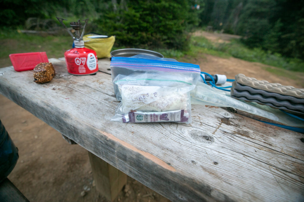
The plan was to leave around 7 am so I was up and had the coffee on by 5:45 am. It was early but I was awake and I wanted to make a good impression on my new hiking partners so I thought it would be better to be ready a little early as opposed to being late.
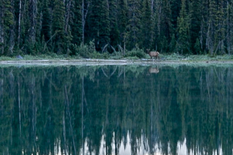
I had a little excitement at breakfast when an elk wandered across the far end of Yoho Lake. At first I thought it was a moose but when I zoomed in on the photos it was an elk which was still a pleasant breakfast companion. The photos I took do not do the scene justice. When backpacking I only carry a wide angle lens and in this situation with the elk so far away what I needed was a telephoto lens.
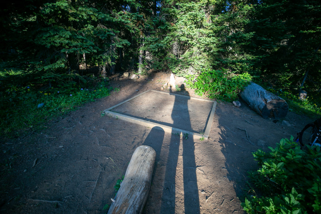
I had the tent all packed up by 6:45 am and headed over to the lake to wait for Lillian and Sara. When it was time to leave I almost left my butt pad on the log I had been sitting on which would have been very disappointing. We got going just after 7 am.
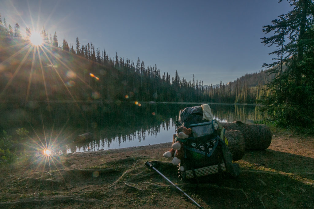
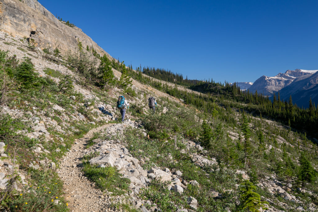
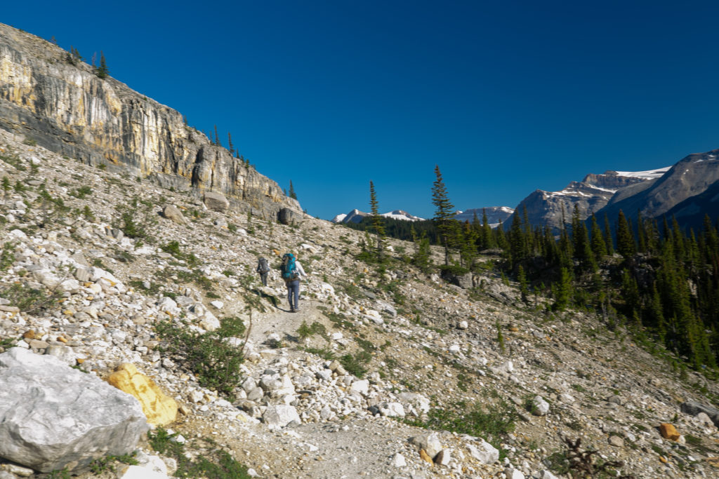
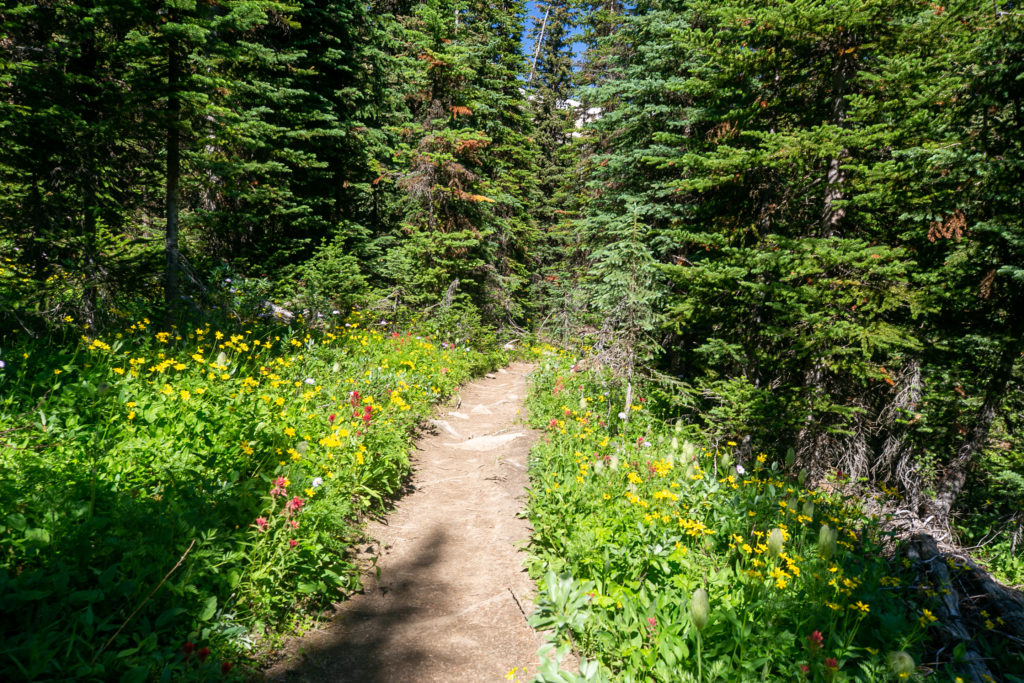
The trail does climb steeply at first away from Yoho Lake. I could not believe that just 2 and half weeks ago I had hiked on the same trail through snow fields and now they were gone.
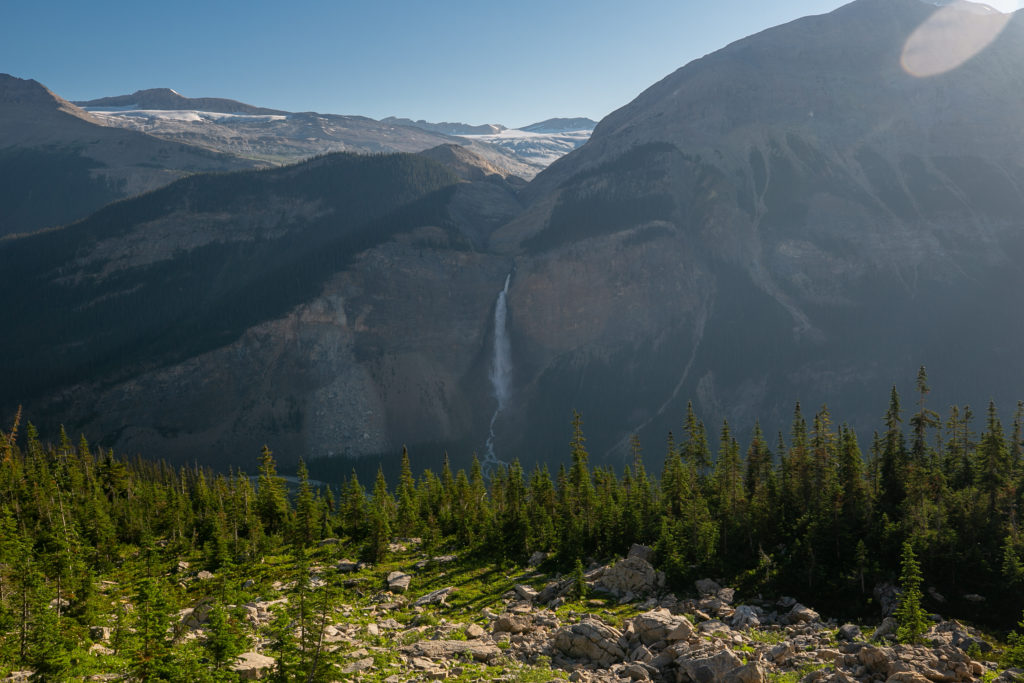
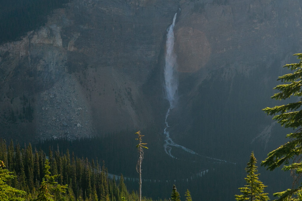
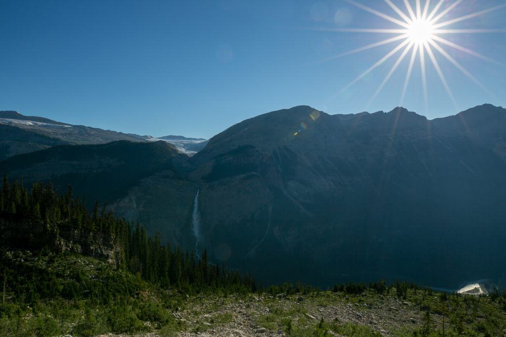
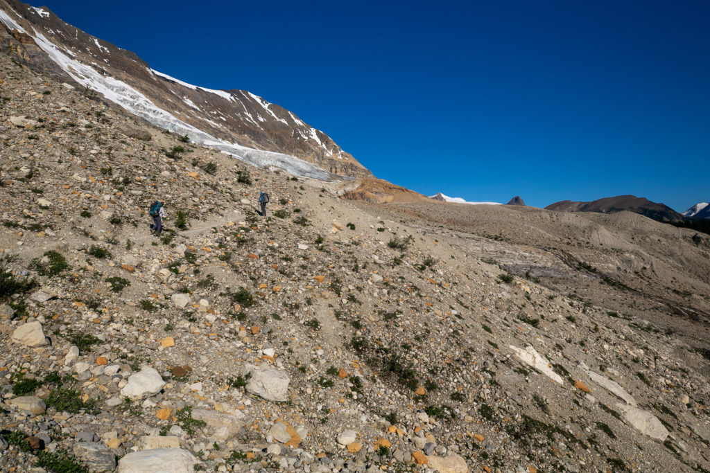
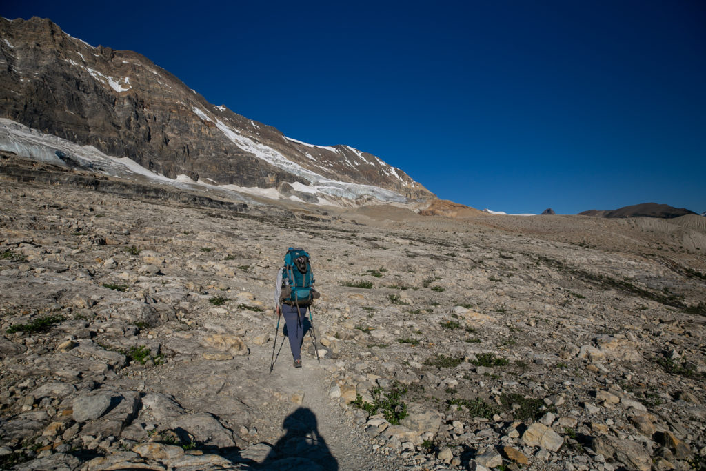
This was my fourth trip on the Iceline Trail since my inaugural trip in 2020 with Siobhan. I enjoy re-hiking trails that I have done before with different people because it is the people that make each hike unique. The trail is just what brings us together. Even in the smoke of 2021 the Iceline was impressive and on this day with sunshine and blue skies the Iceline was the piece de resistance of Canadian Rockies alpine hiking.
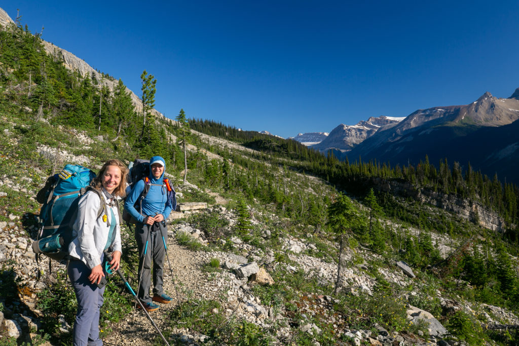
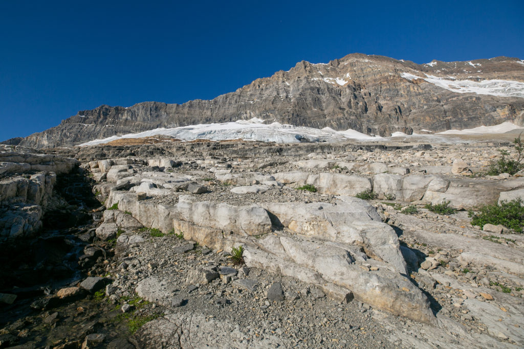
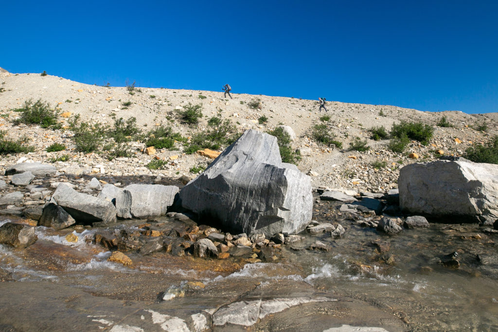
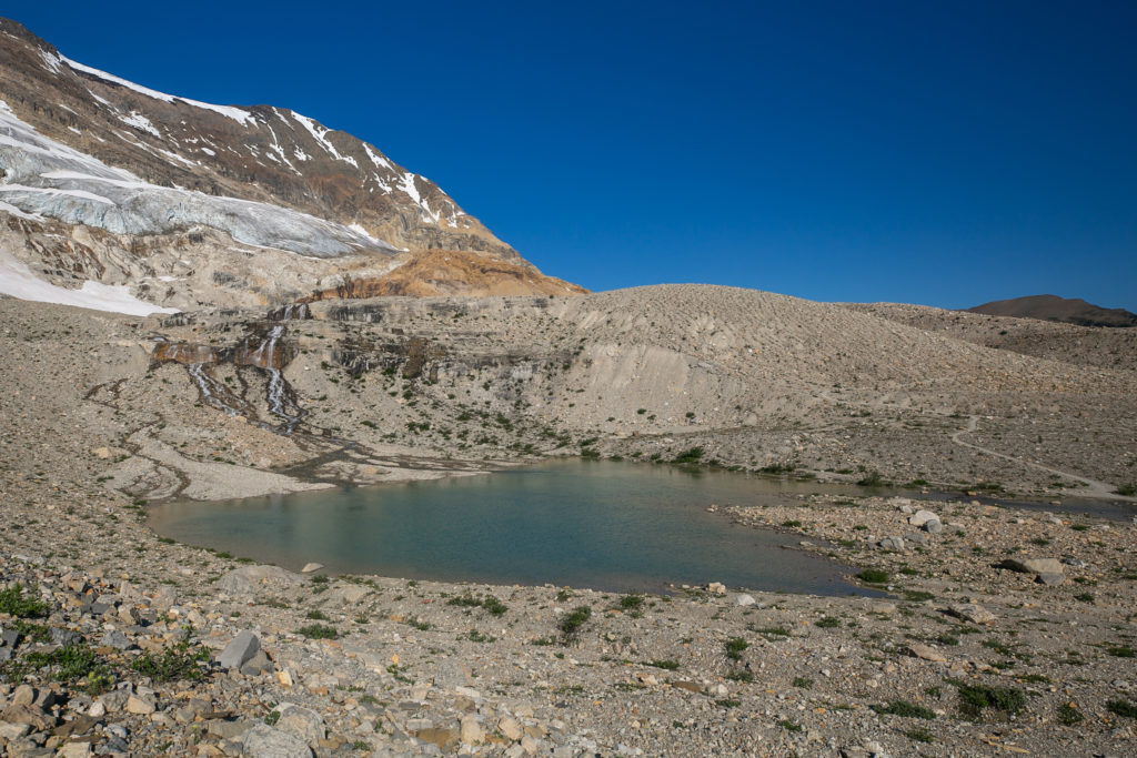
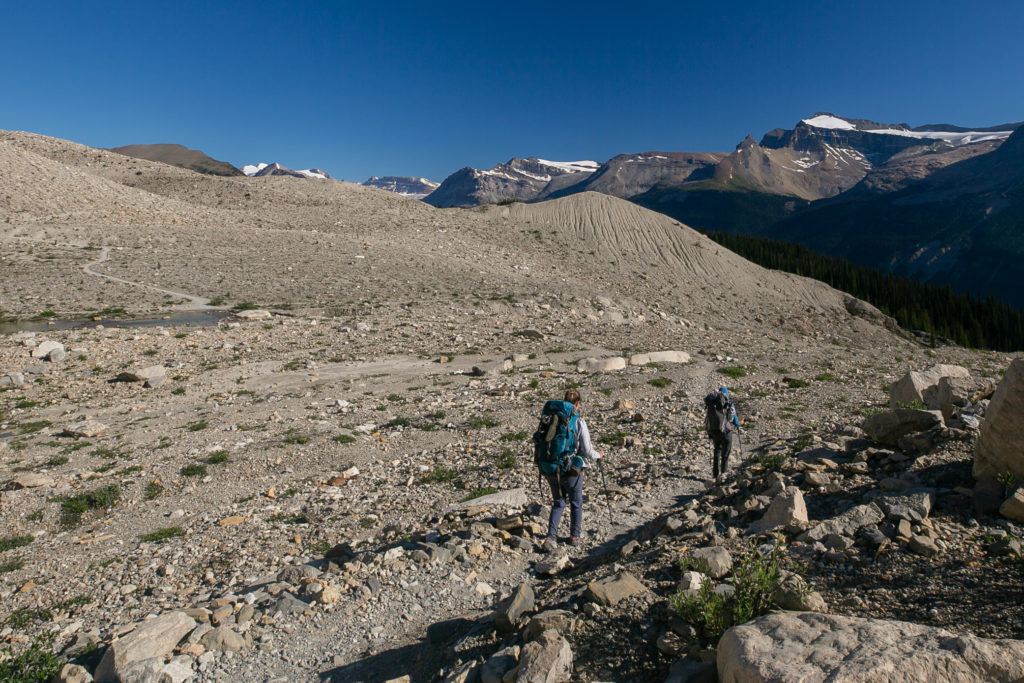
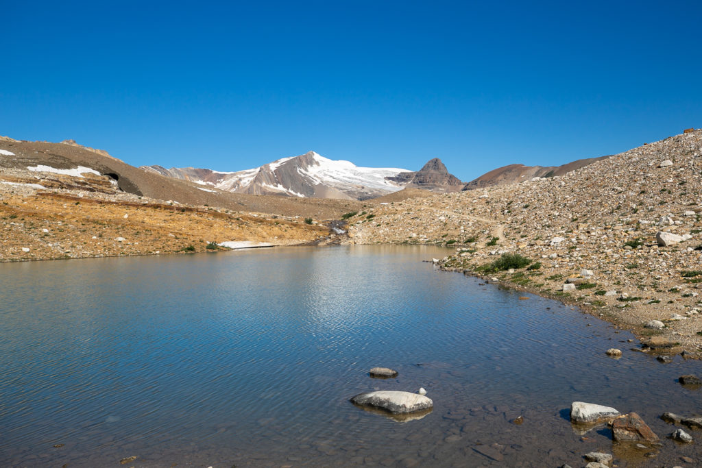
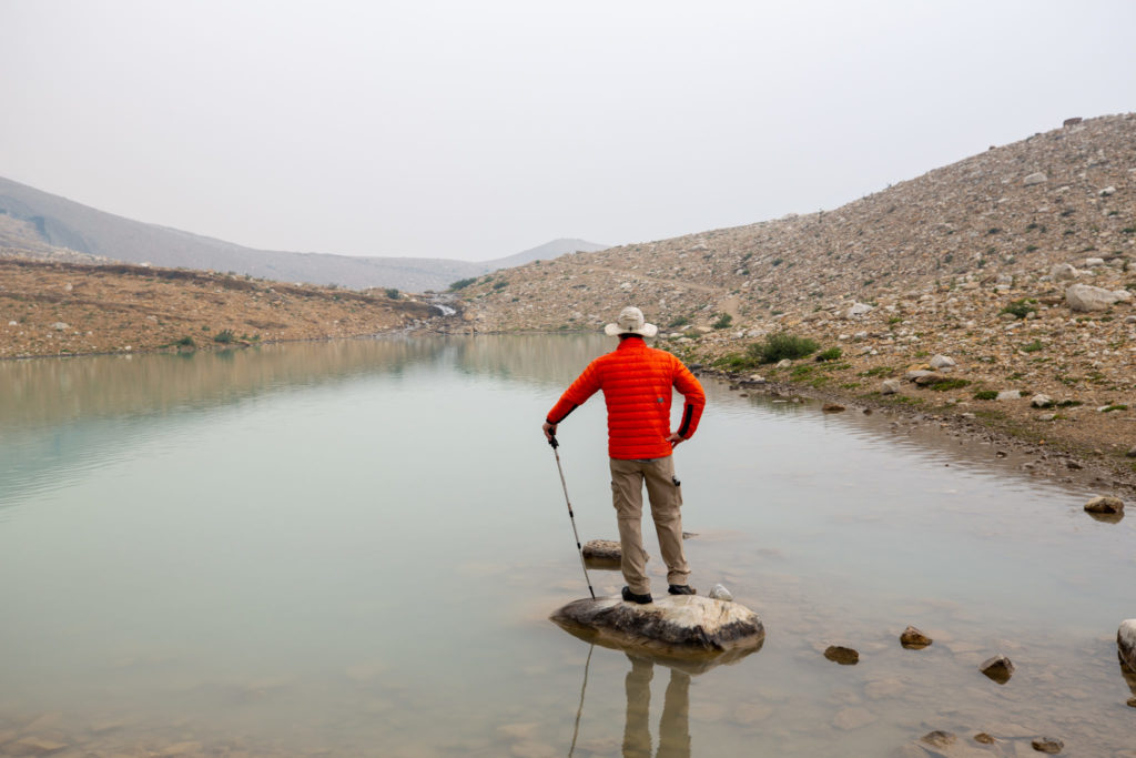
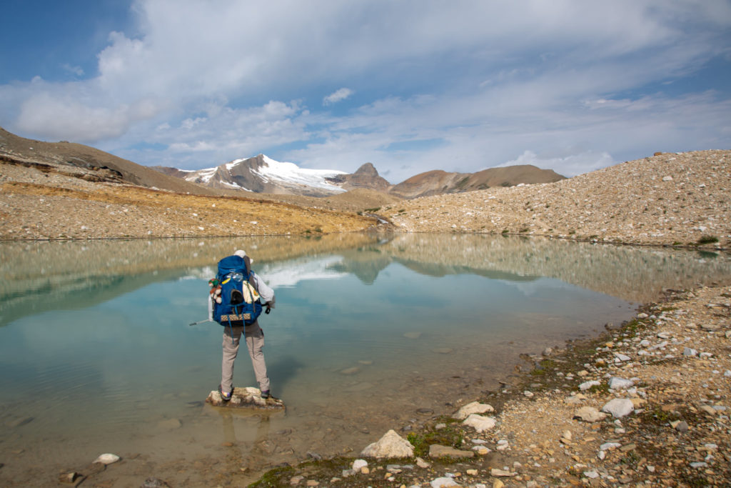

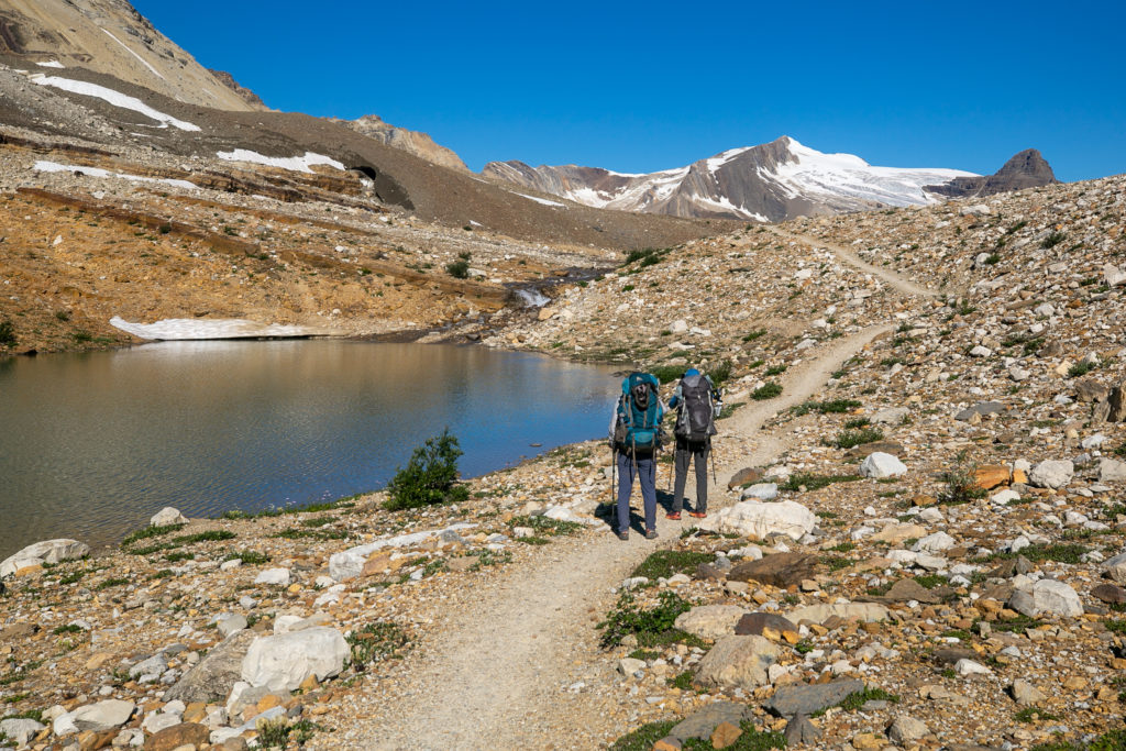
For an added bonus to our stop at the high point on the Iceline was that there was a happy dog at the junction. The dog was very friendly and was happy to have some pats and back scratches. This was the second dog that we had met on the trail but unfortunately for me it would be the last dog we would meet until I saw Margaux again at the end of the hike at Mistaya Canyon parking lot.
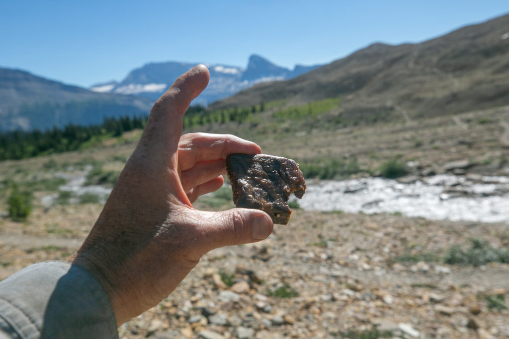
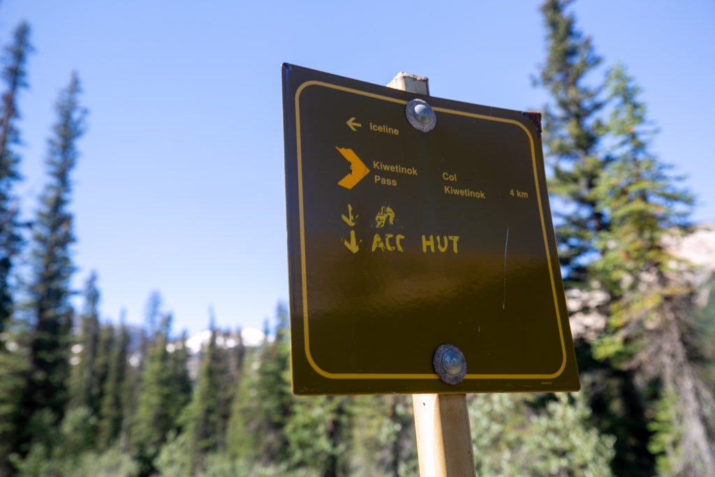
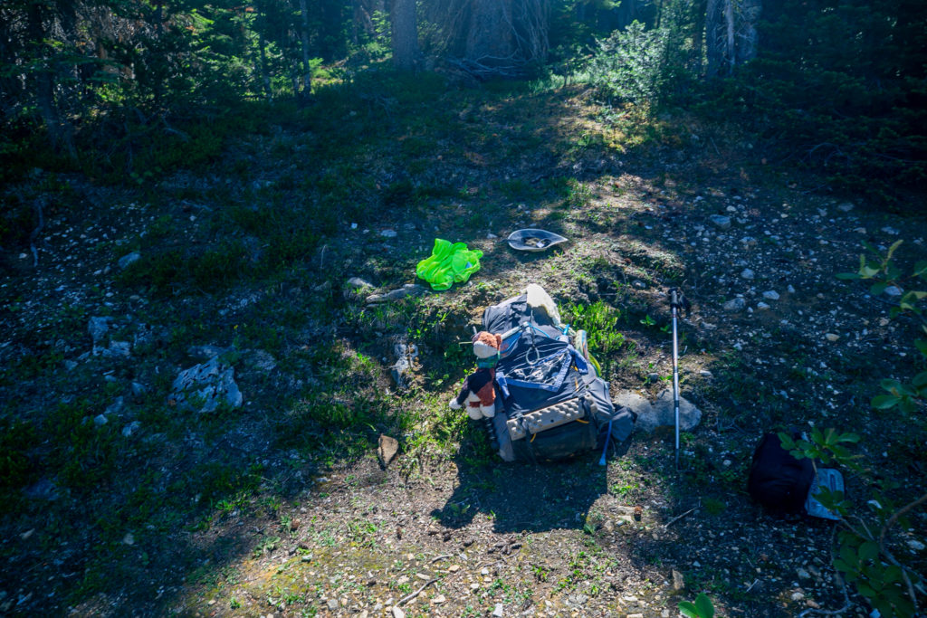

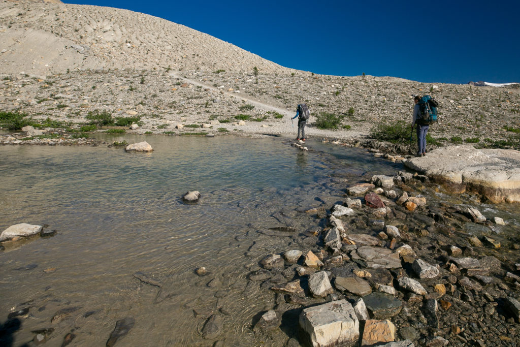
We arrived at the Little Yoho River at 11:10 am, 4 hrs and 10 minutes after leaving Yoho Lake CG covering a distance of 13.7 km gaining 665 m while losing 348 m of elevation. I was very happy to be taking a break as I was already tired and ready to call it a day. It was daunting to think that we still had to go up and over Kiwetinok Pass then up and over Kiwetinok Gap. I tried to put on a brave face and be happy. I knew that the only reason I was not heading home was because of Lillian and Sara and their positive attitudes. After an hour long break that did include a nap we put our packs back and took aim at Kiwetinok Pass.
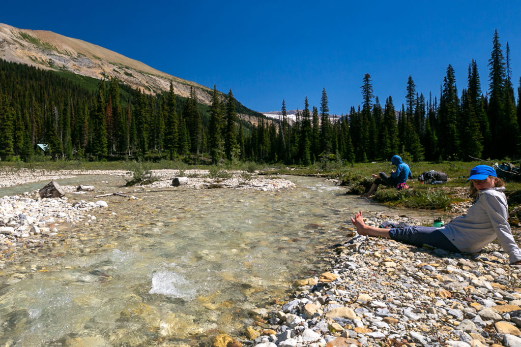
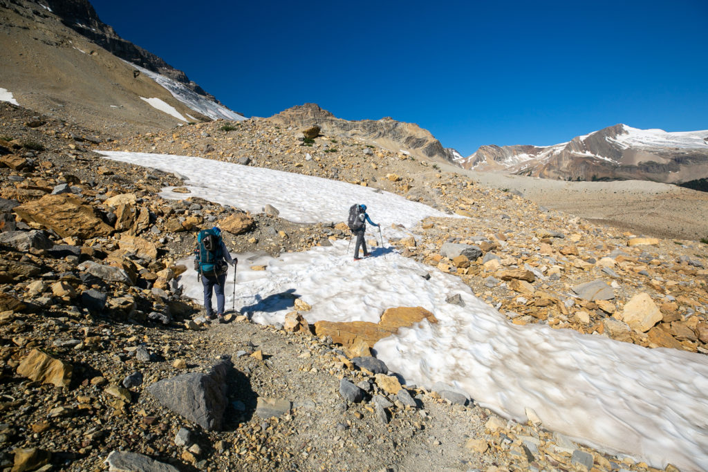
While it seemed like a big climb Kiwetinok Pass was just 400 m of elevation over a distance of just under 3 km. It sure seemed a lot higher.
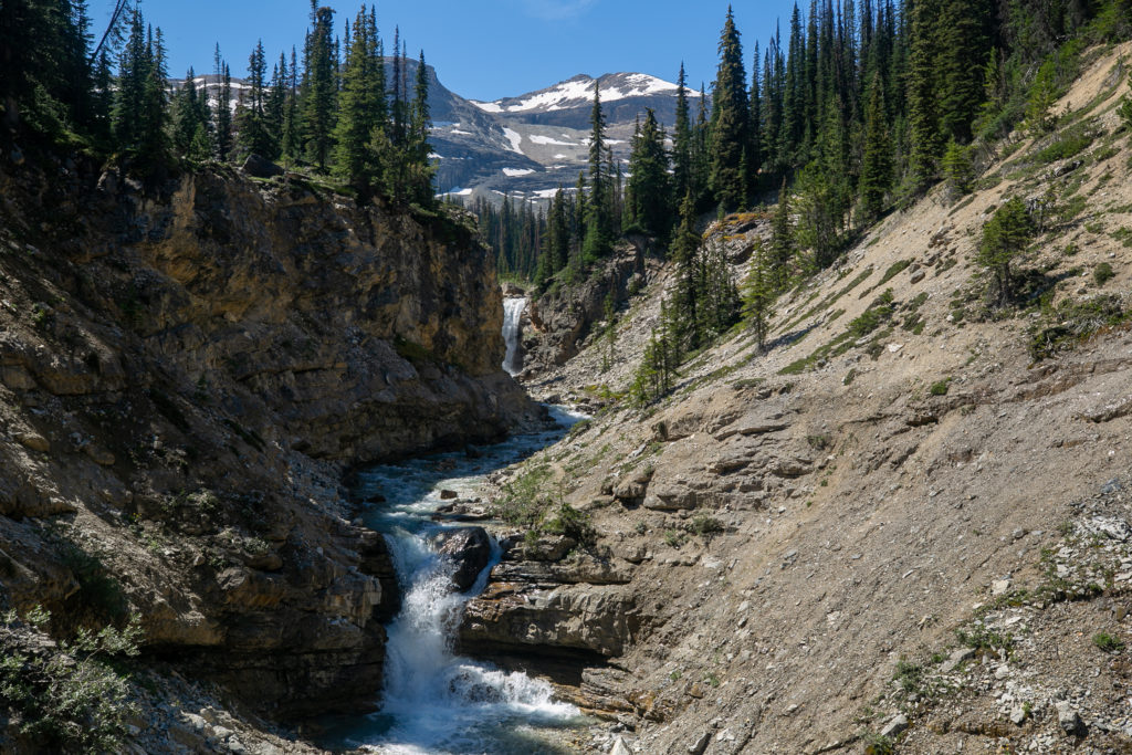
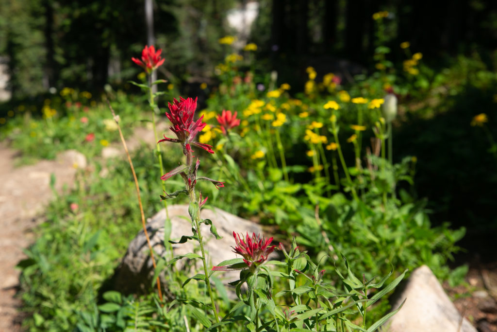
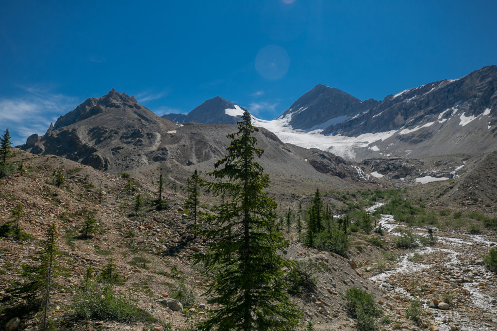
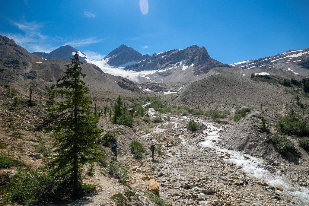
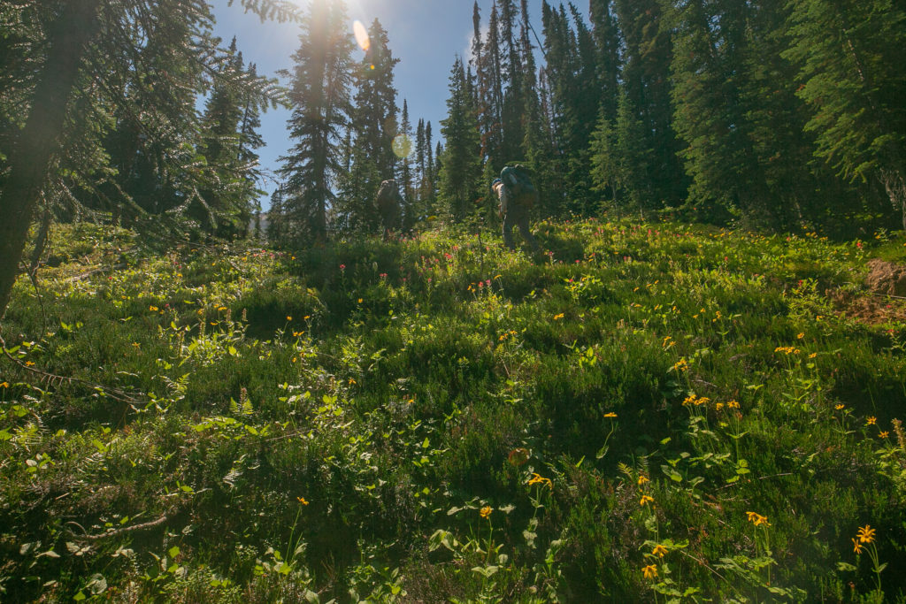
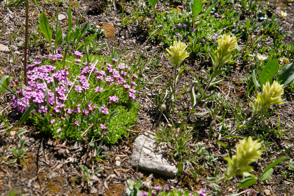
As we made our way up towards Kiwetinok Pass I kept thinking that the trail was much tougher than I thought it would be. I kept playing it over and over in my head that if I had not been in a group I would have quit during lunch and texted Laura to come get me. I was just so tired and every step was an effort. As it was I made my way steadily up the trail towards our next goal.
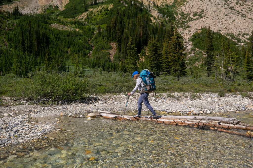
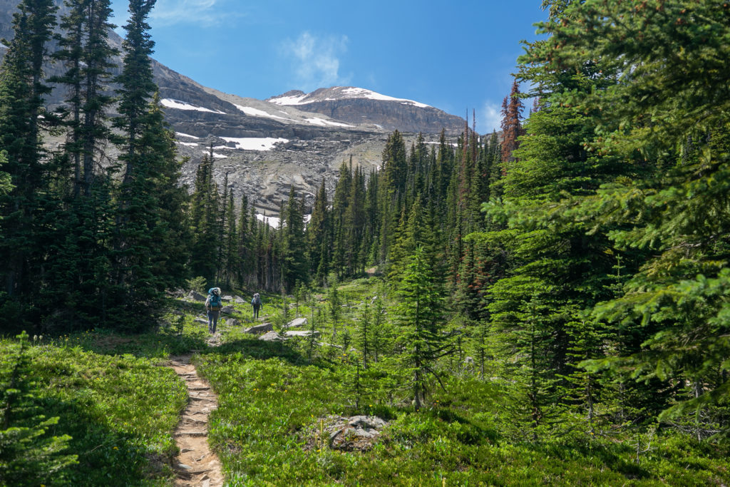
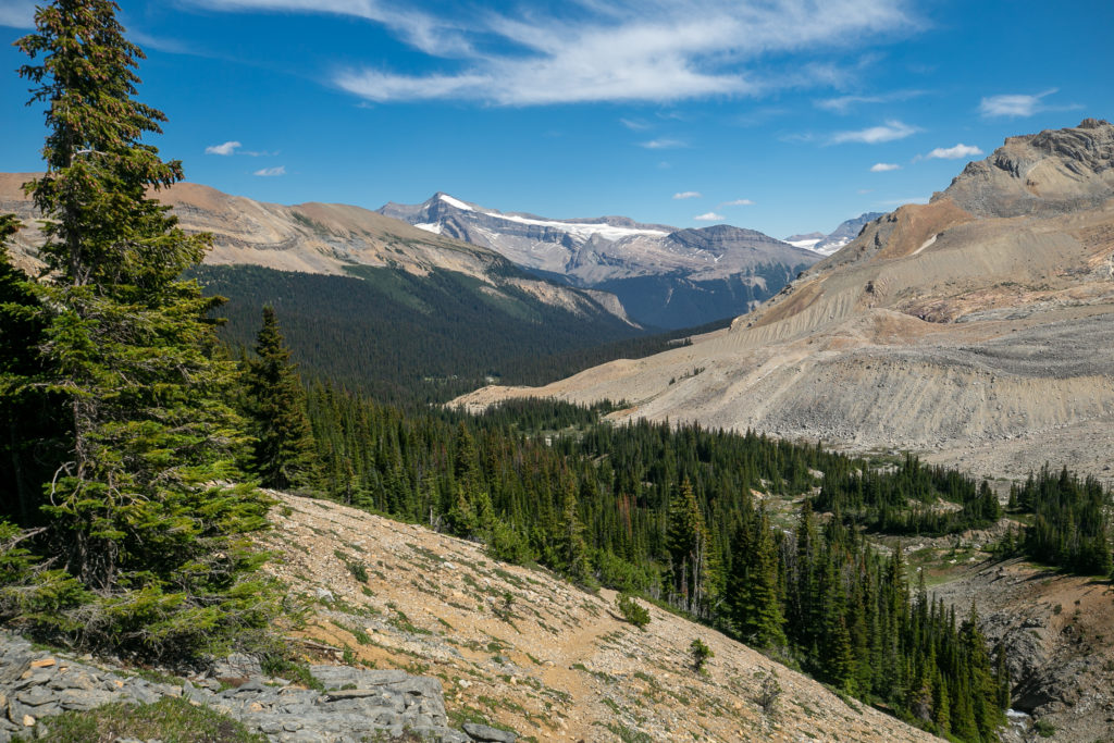
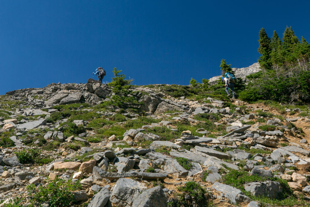
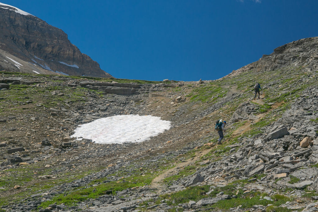
Somewhere up on the alpine slopes I told Sara how I was happy to hiking with them because if I had been on my own I felt would have quit. I figured honesty is the best policy and it does help when you are working in a team to promote trust. BS’ing others or yourself does not have any place in a backcountry trip.
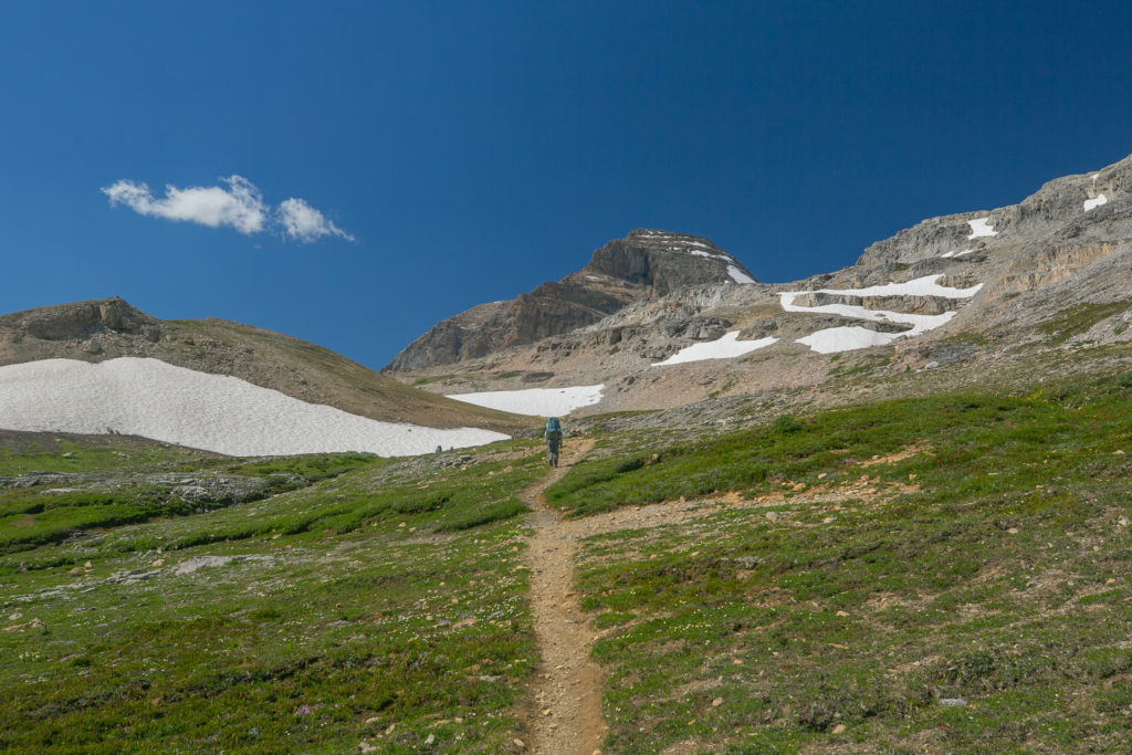
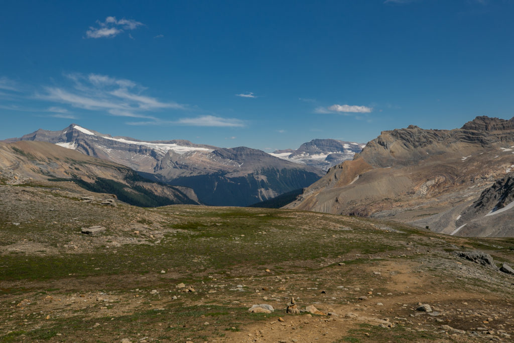
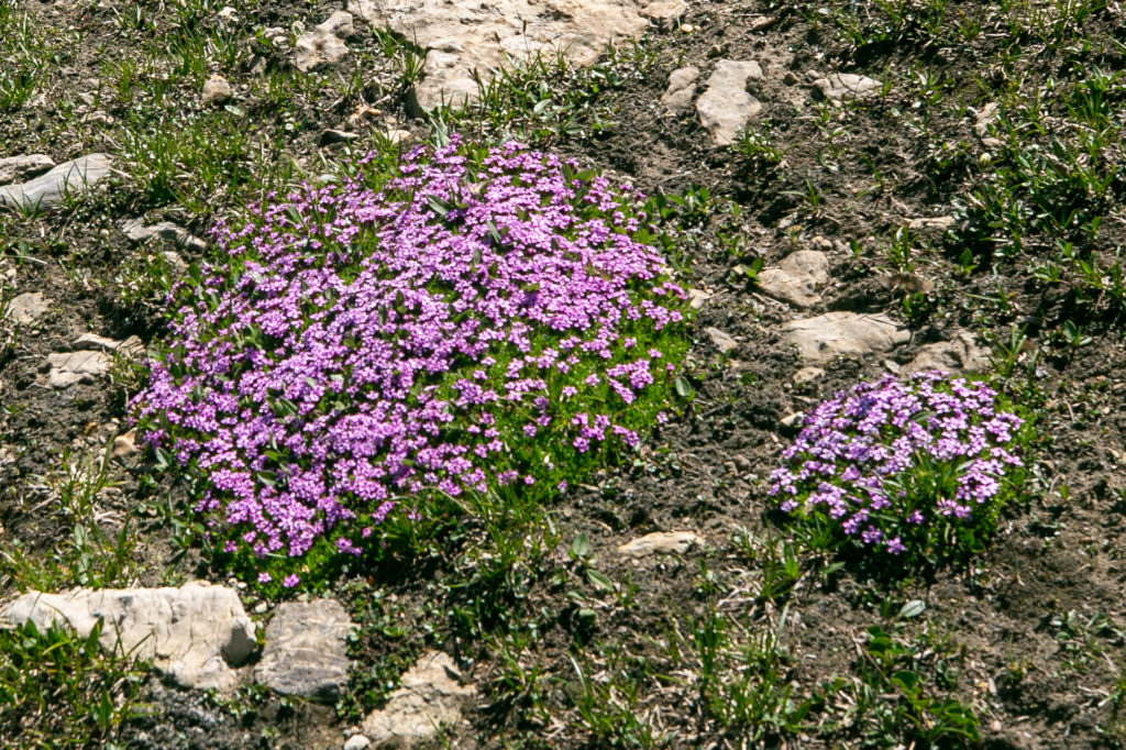
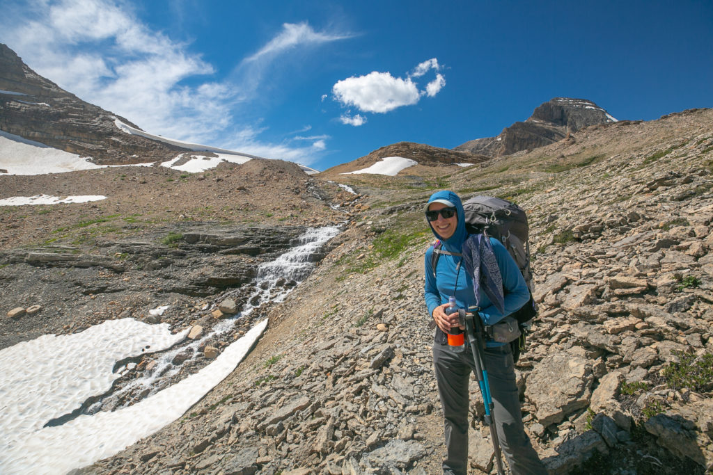
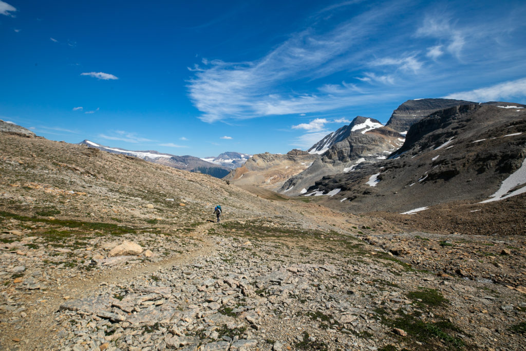
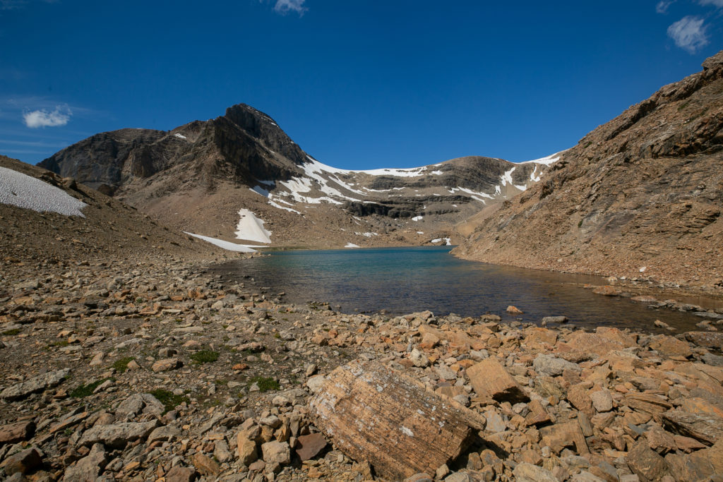
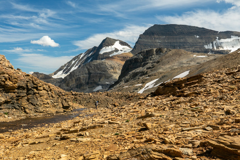
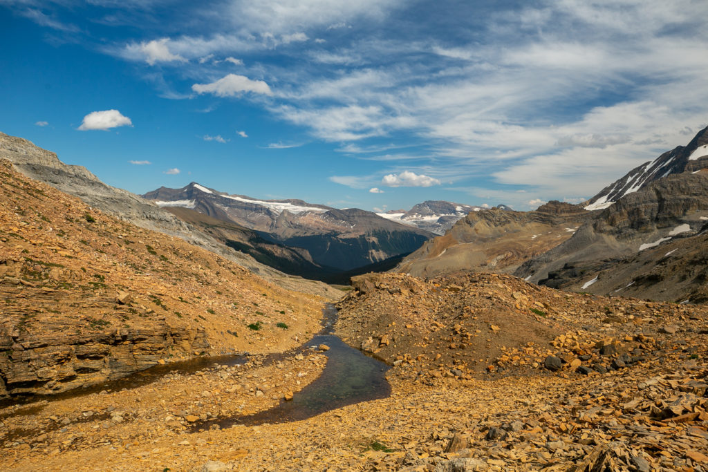
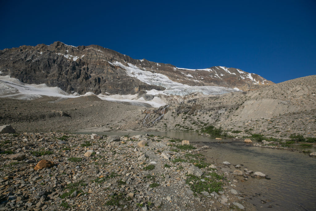
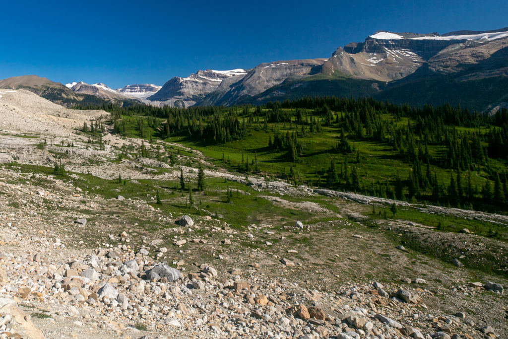
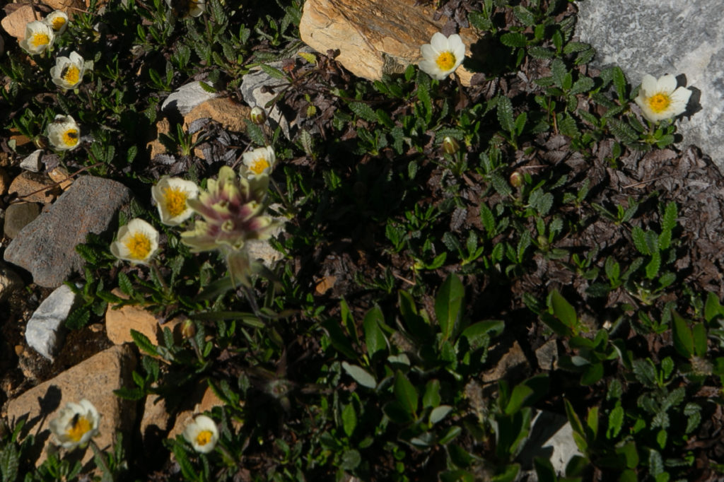
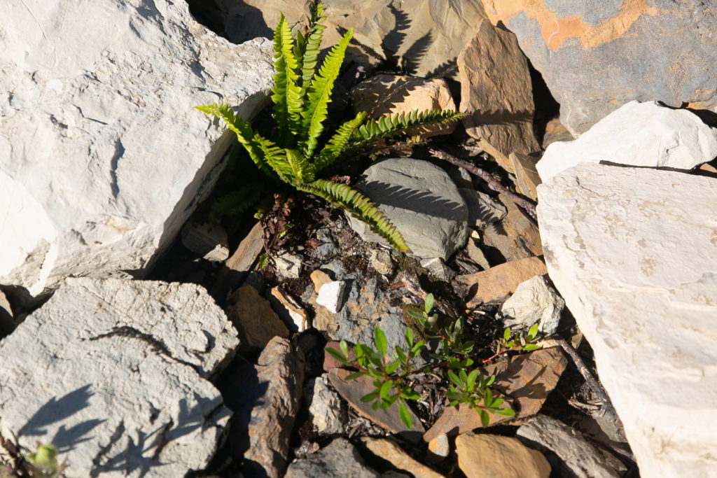
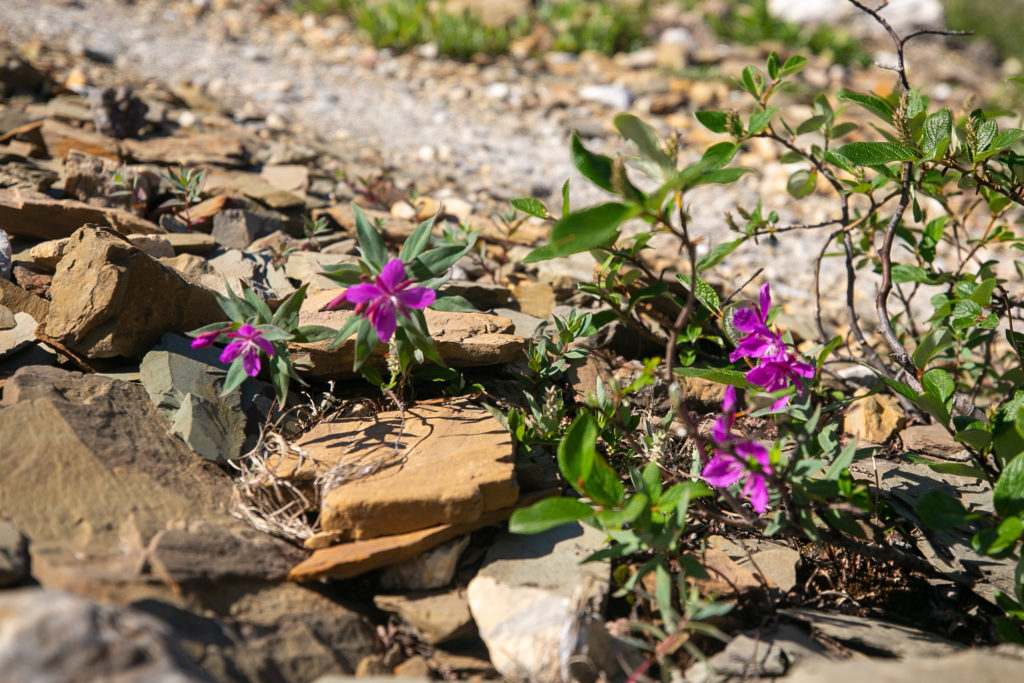
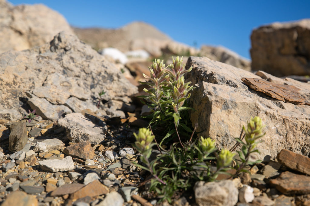
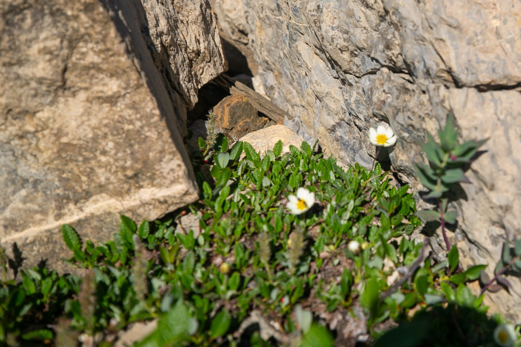
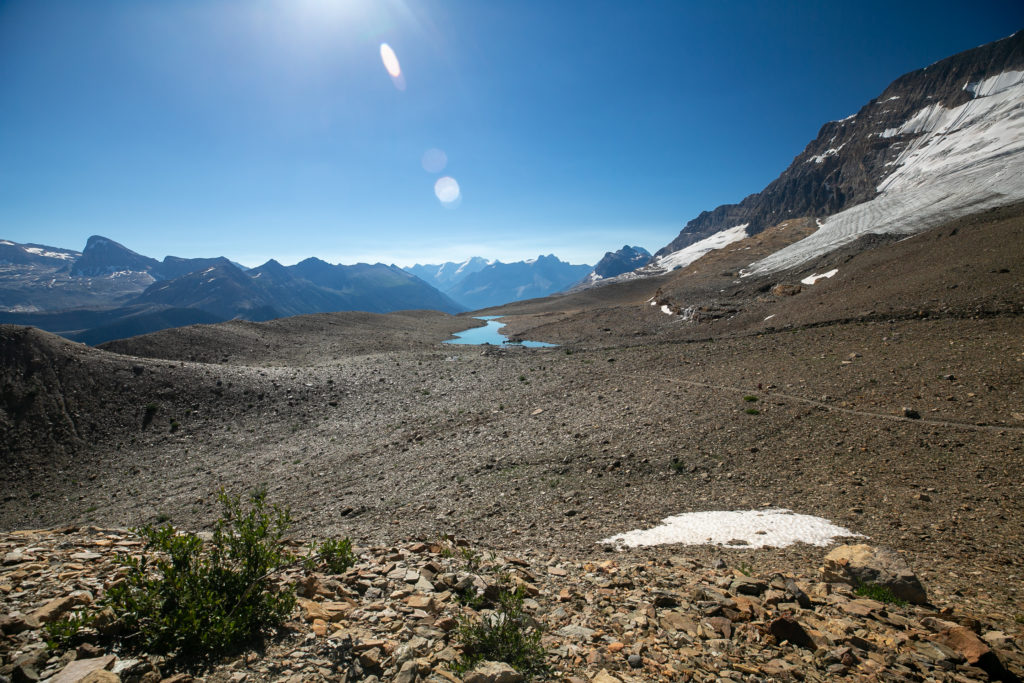
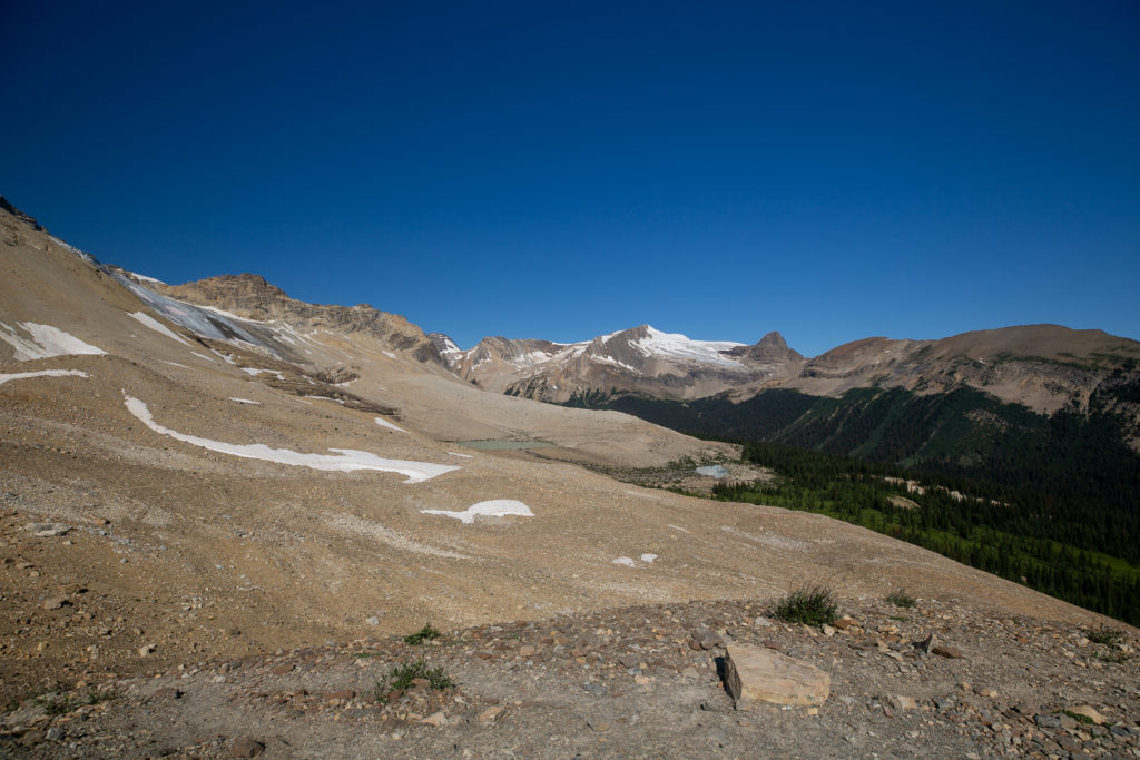
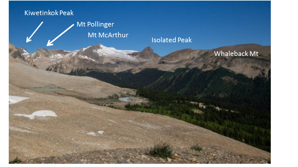
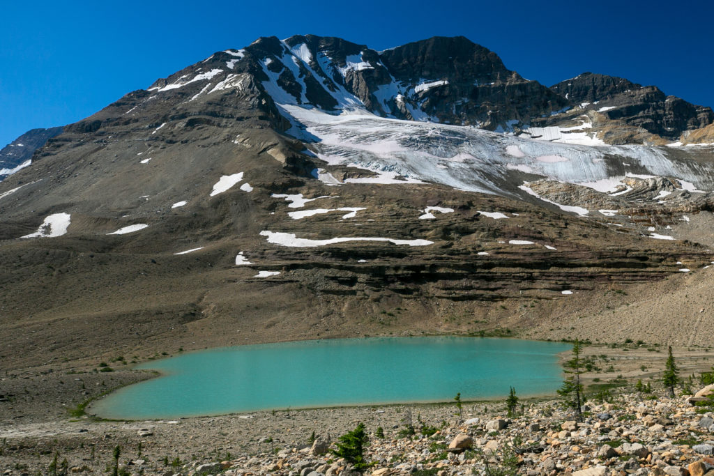
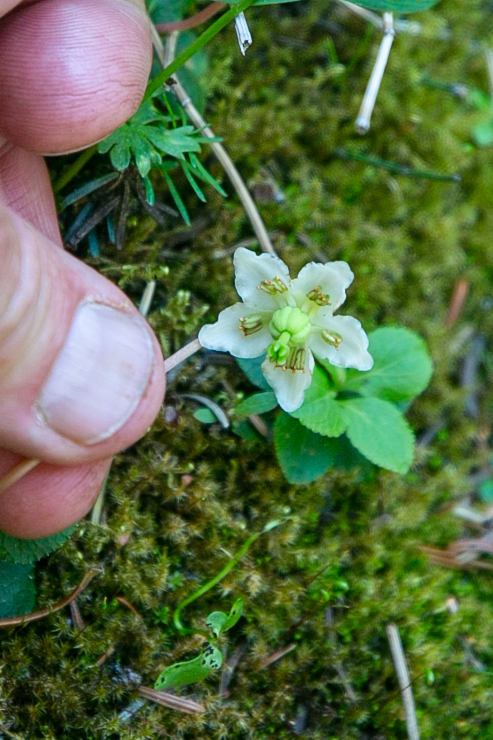
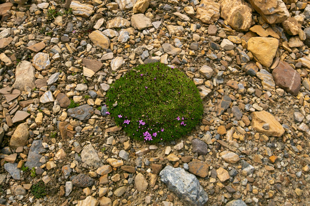
We arrived at Kiwetinok Pass at 1:50 pm about 1 hr and 40 minutes since we left lunch on the Little Yoho River across from the Stanley Mitchell Hut. The pass is quite pretty with Kiwetinok Lake nestled between the grey limestone cliffs of Kiwetinok Peak and Mt Pollinger but ringed by orange sandstone. Kiwetinok Lake is apparently the highest lake in Canada at 2457 m. Confronted with a sizable body of water the ladies decided it was time for a quick swim. I busied myself taking pictures of plants and looking back at where we had come from. After a 40 minute break from hiking we got ready for what was to be quite a tricky descent down off of Kiwetinok Pass into the Amiskwi Valley.
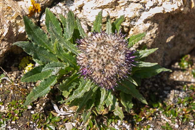
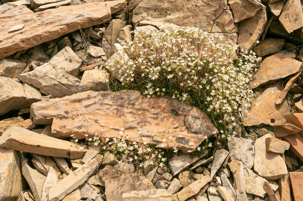
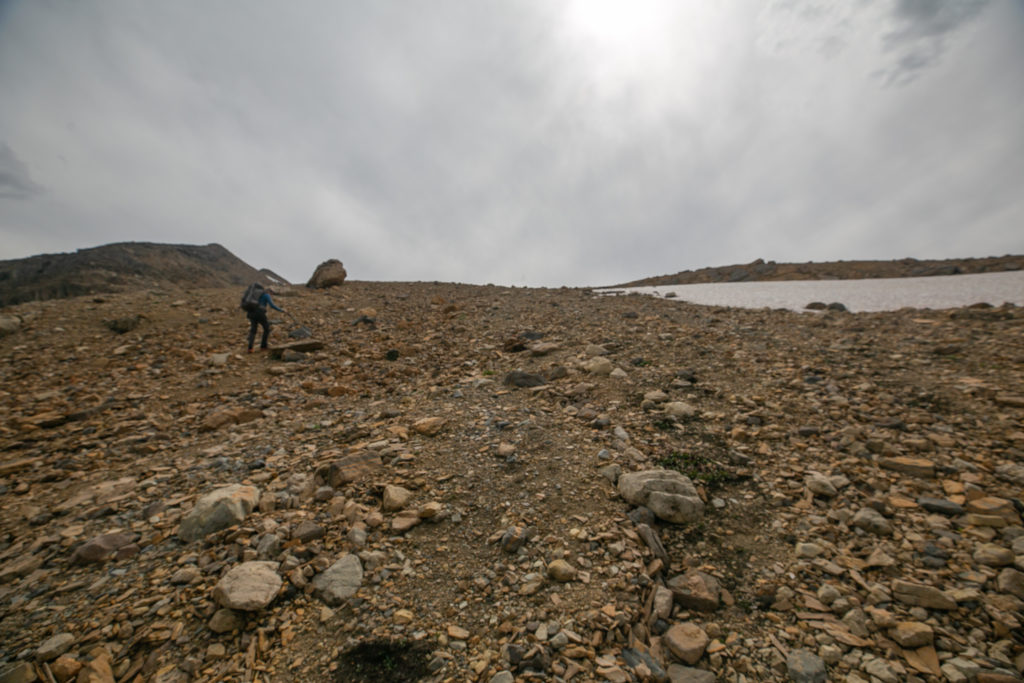
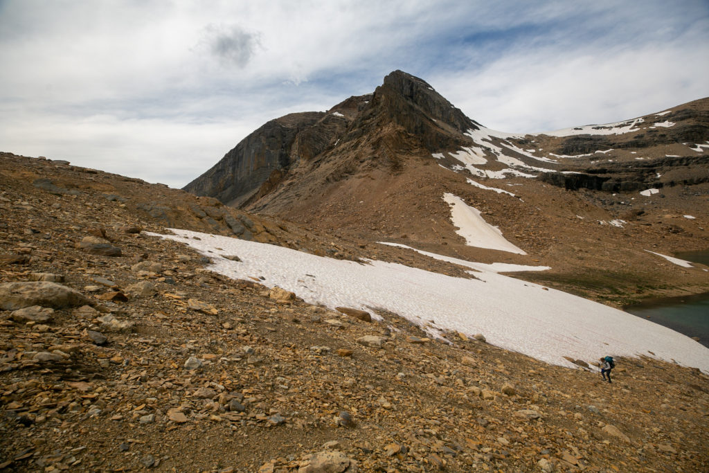
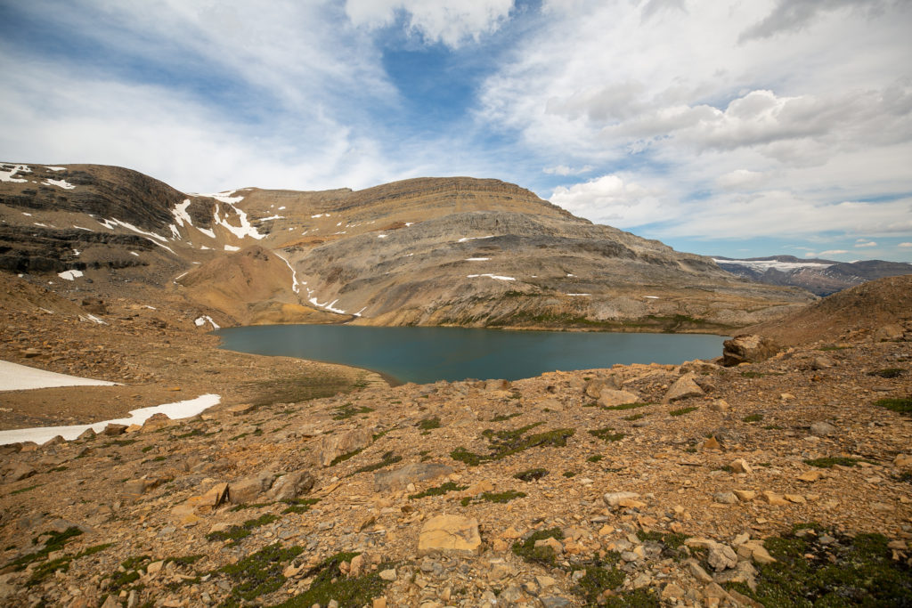
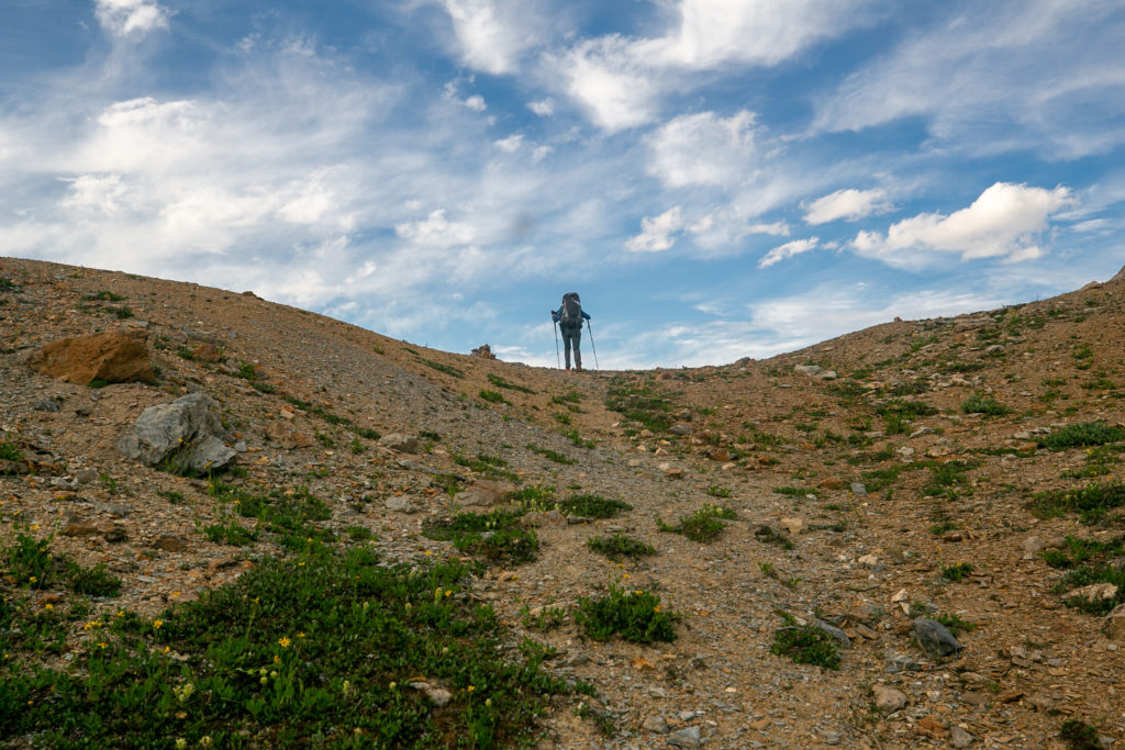
The pass itself was blocked by a snowfield so we went up over the rocky hill just to the south of the pass. There were numerous trails up the slope and down the other side. Near the top of the pass the slope is very shaly and there was a clear path leading downhill. Soon however we came to a boulder field full of large and somewhat unstable boulders. It was here that our pace slowed. I lead much of the way through the boulder field, as I am either confident in my line choice and footing or I am careless and took risks that I got away with.
We had a bit of a guessing game at the top as to which little saddle on the northern slope of the valley was Kiwetinok Gap. I thought we would be going through the saddle further down the valley while Lillian thought Kiwetinok Gap was the closer saddle just after the rocky cliff. Lillian was correct. There are hikers who avoid the descent into the valley by side-slopping over to the cliff and doing a short scramble over the cliff arriving at Kiwetinok Gap. I knew of the optional route but we never entertained the option of the side-slope and scramble. Scrambling at the end of a long day with a backpacking pack would be a dodgy exercise.
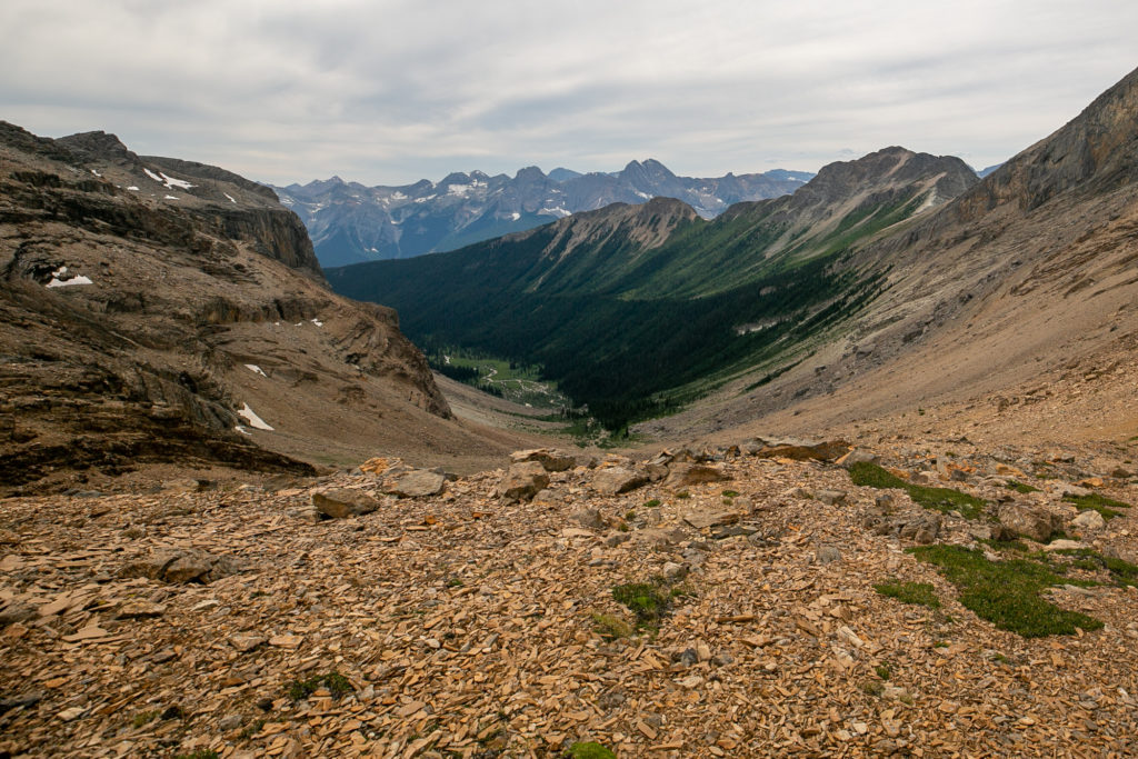
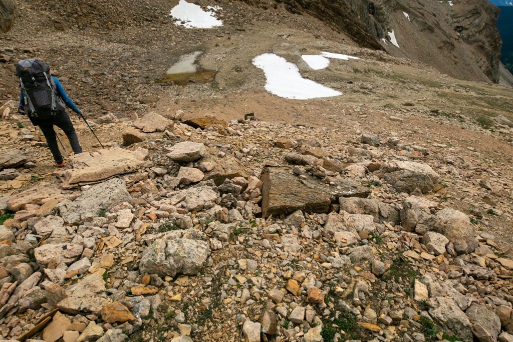
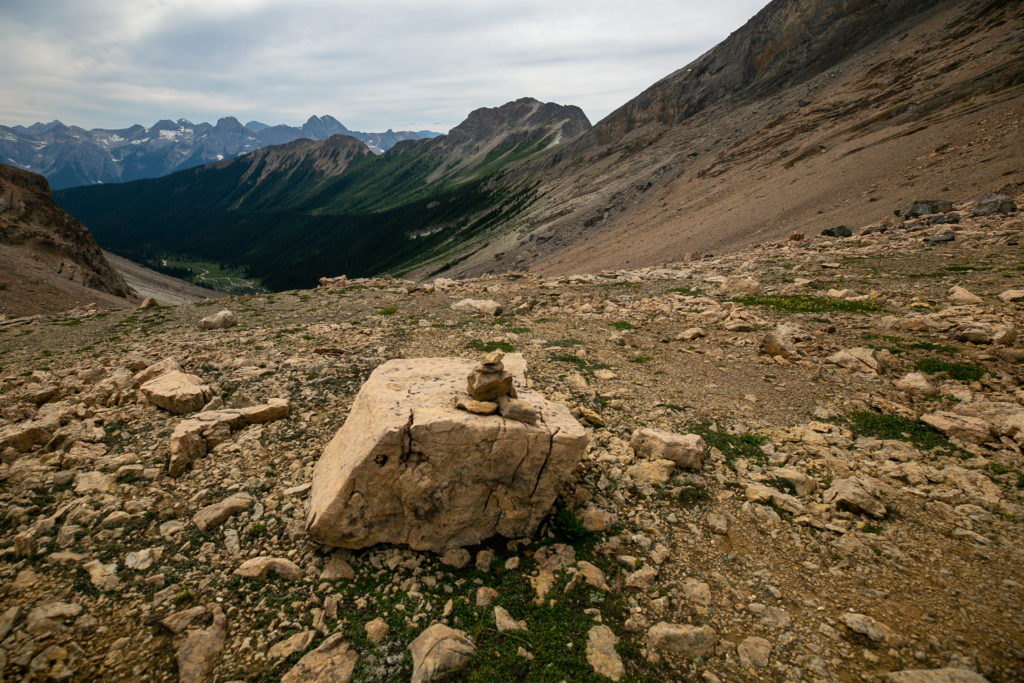
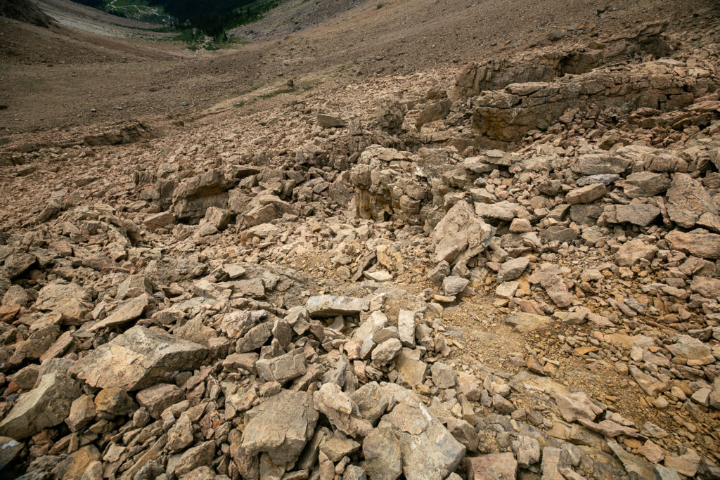
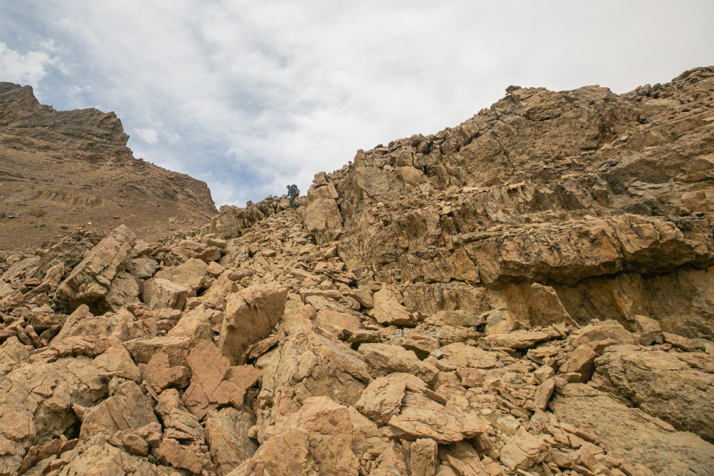
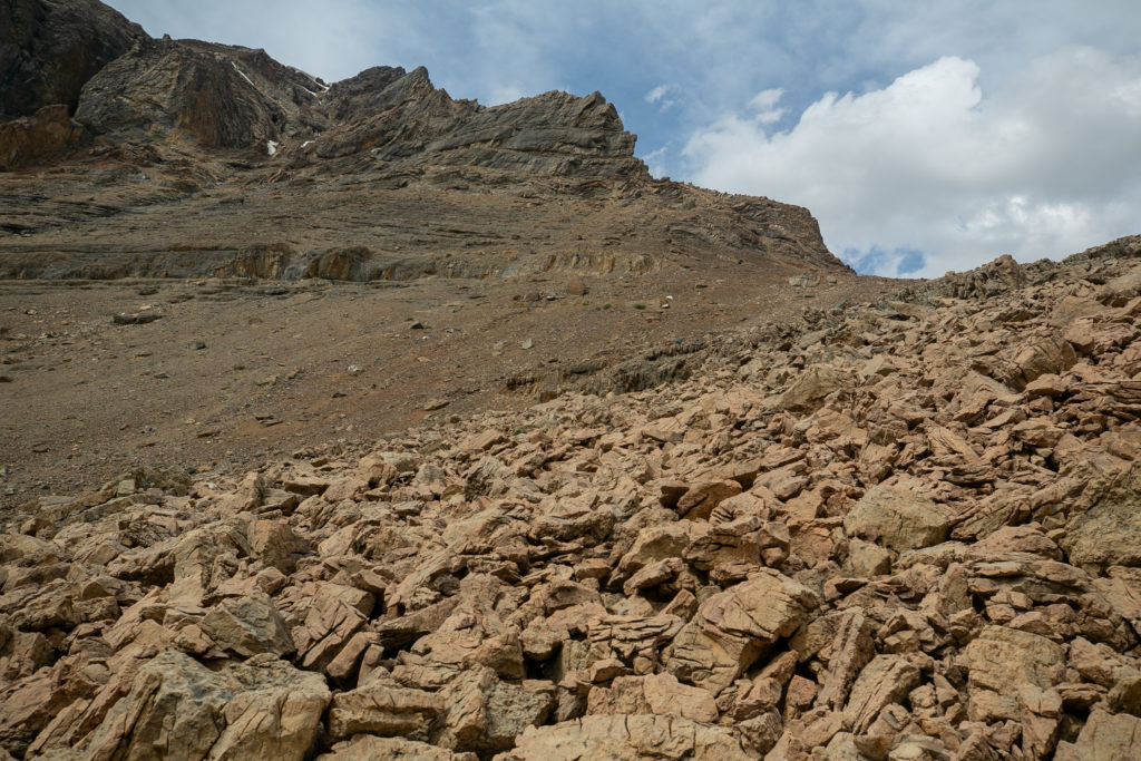
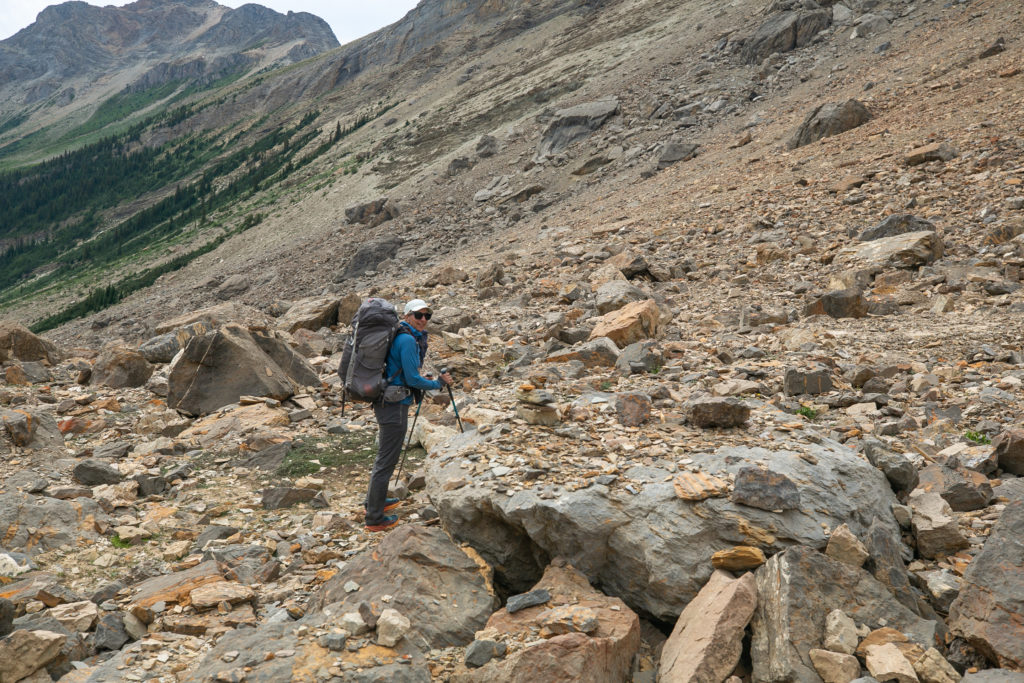
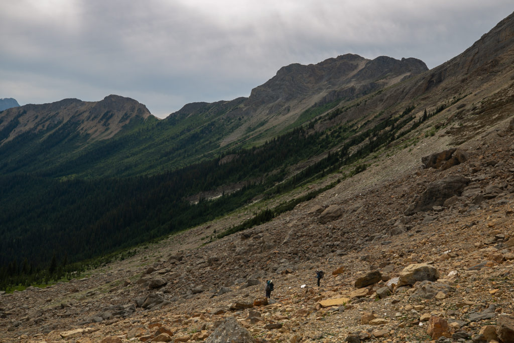
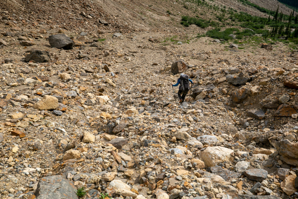
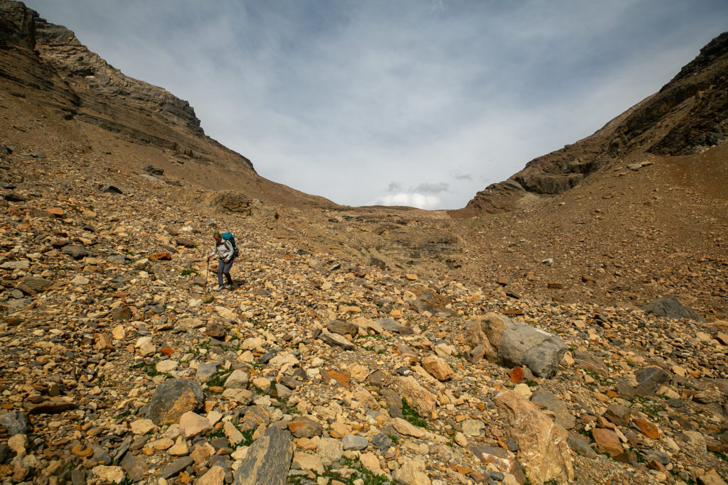
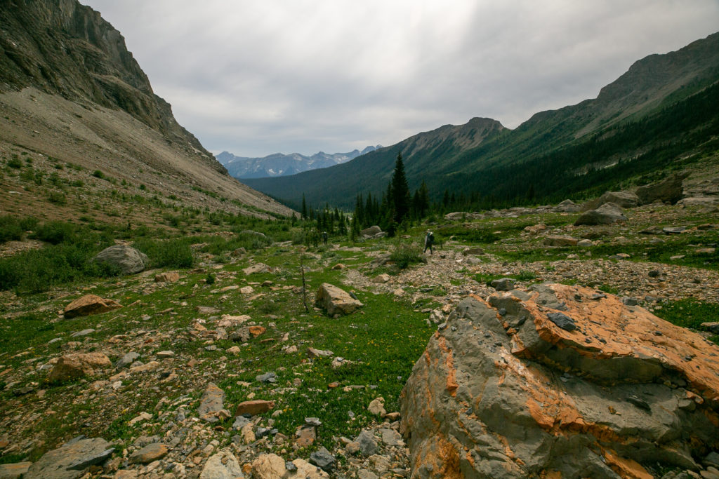
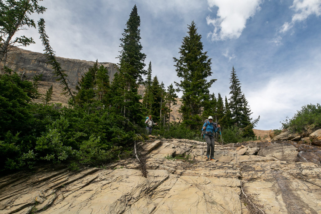


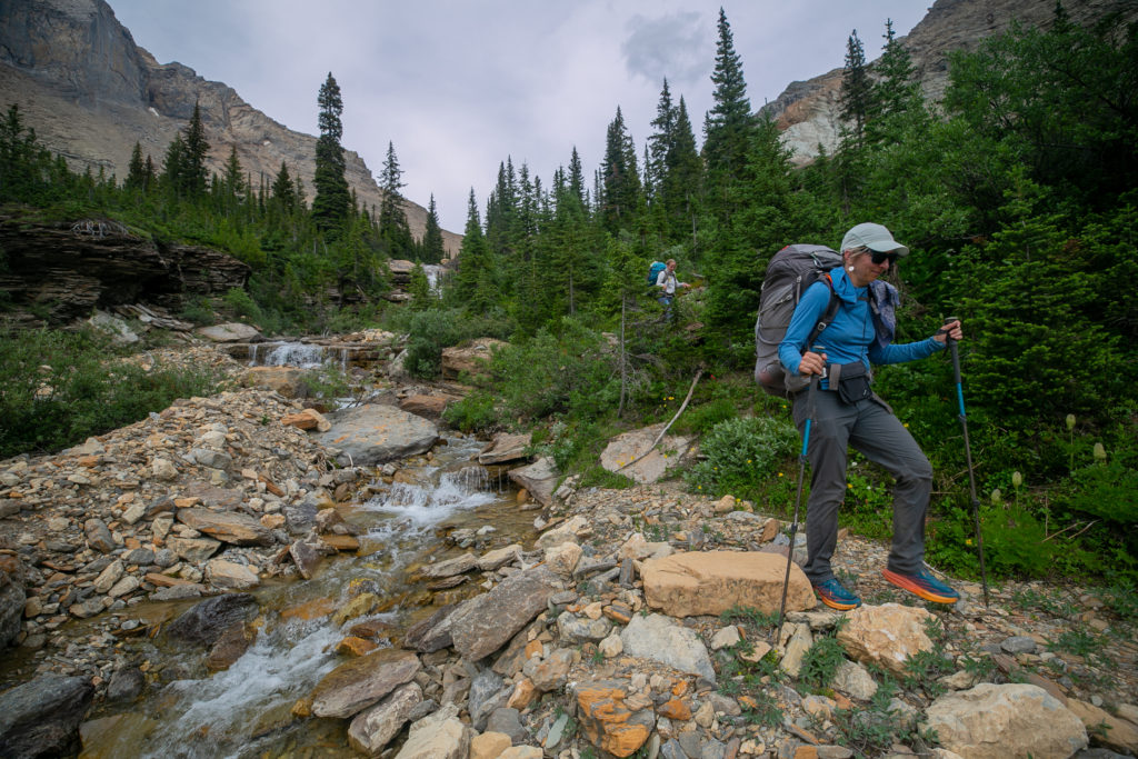
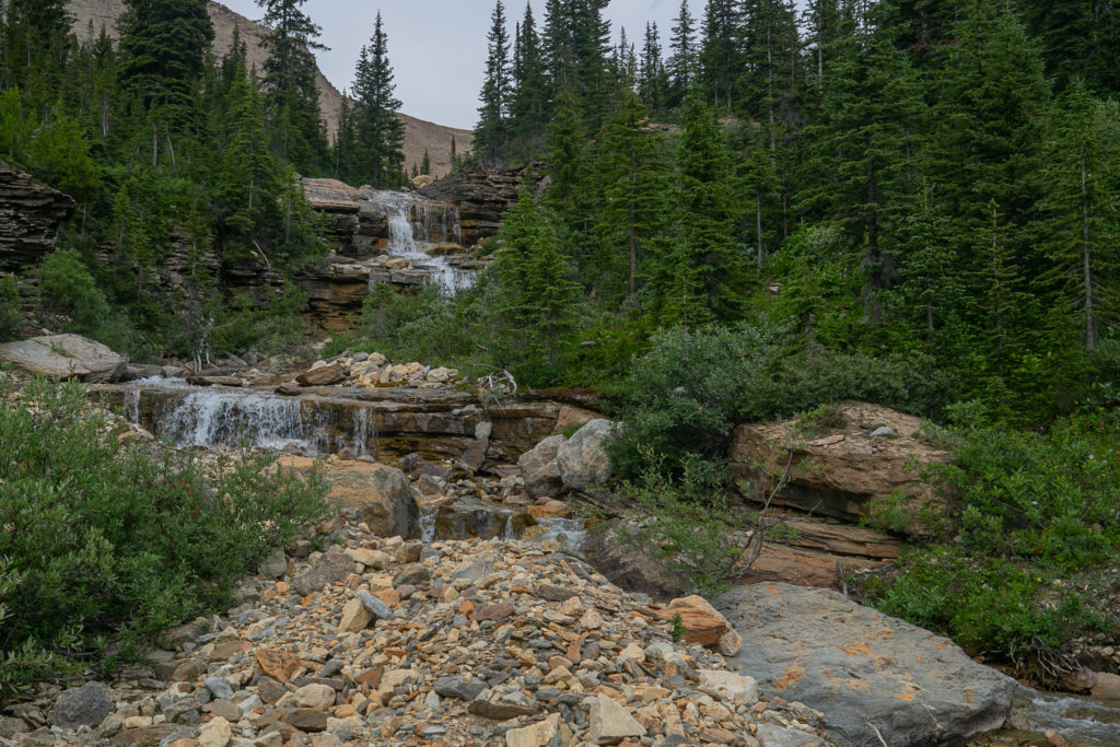
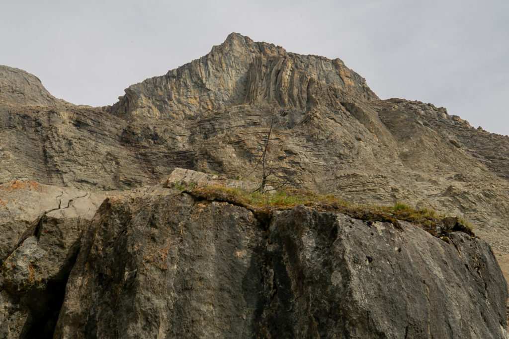

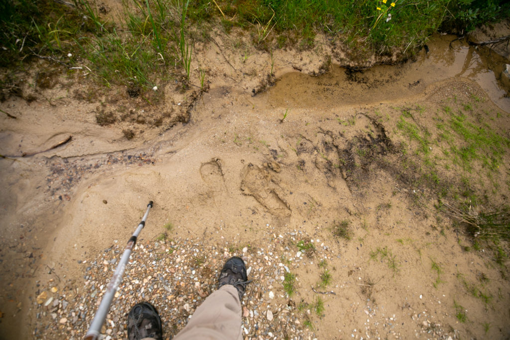
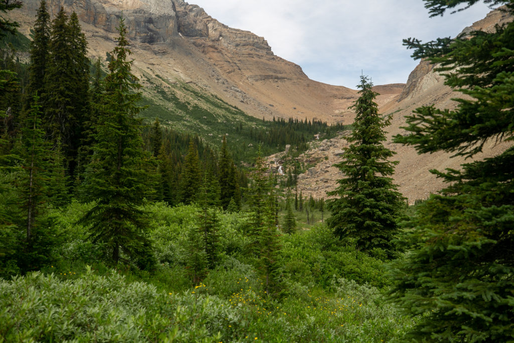
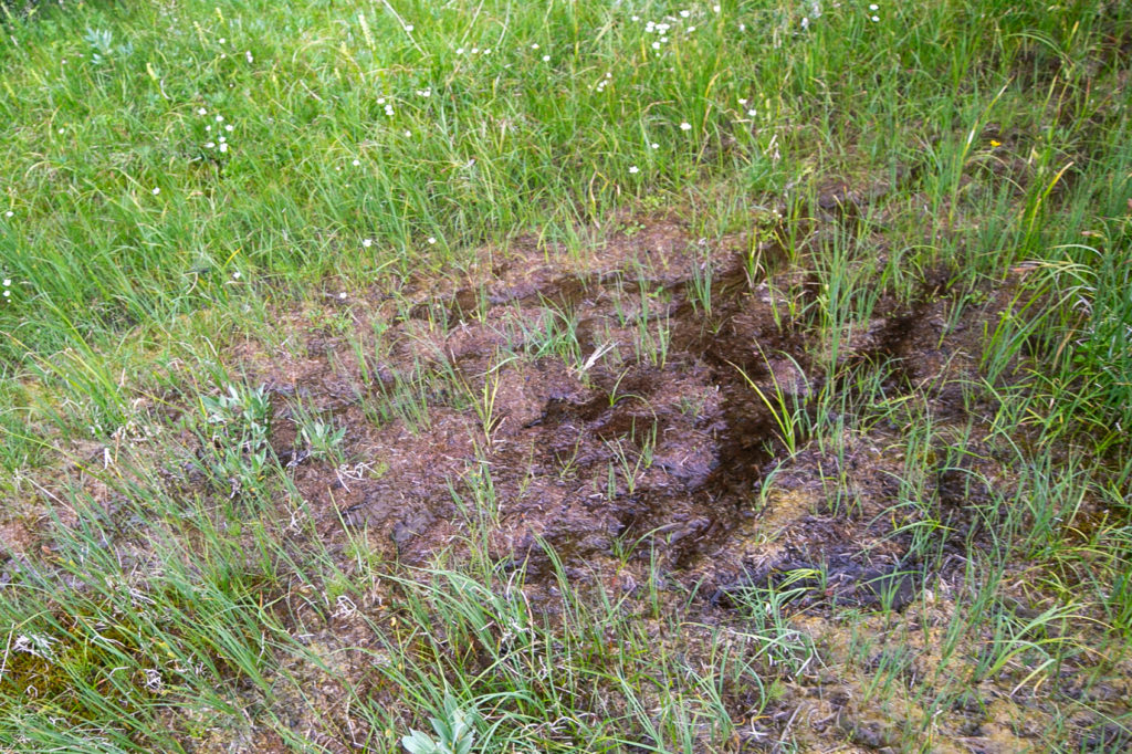
It was 4:30 pm when we arrived at the bottom of the valley. It had taken us a stressful 2 hours to descend the 485 m from Kiwetinok Pass to valley floor covering approximately a distance of 3 km. We had actually gone faster ascending to the pass than we had descending. The valley floor was so boggy we quickly headed uphill a little ways to find some dryer ground to stop and access our situation. We were all pretty tired by the time we dropped our packs. We had a group decision to make. We were not supposed to camp in the valley. You are meant to climb up over Kiwetinok Gap and then camping is allowed on the north-west side at tree line. We debated whether we had enough energy to continue, versus the prospect of camping here in a bog. After some heavy snacking we decided we were all in agreement that we would make the push to get up and over Kiwetinok Gap and see how far we could make it down the other side to find a camping spot. Since we might be camping dry we loaded up with water carrying what we hoped would be enough water for the the hike, dinner and breakfast in the morning. We heaved our packs on and headed uphill at 5:00 pm.
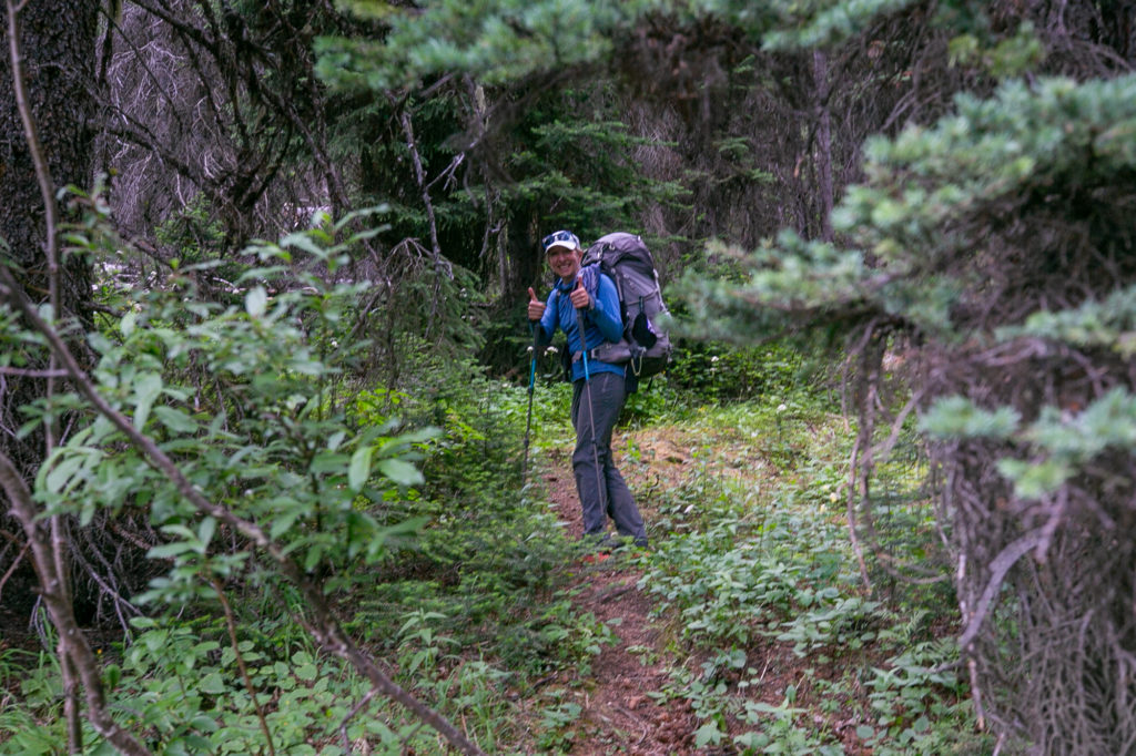
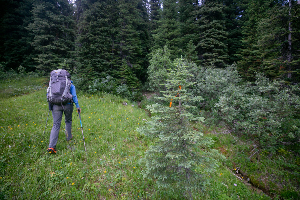
I normally only hike with one hiking pole. On this trip I decided I would bring two poles. The second pole would serve two purposes. First I had left my self standing poles for my Duplex tent at home so I needed two hiking poles for my tent. Second when the hills were very steep up or down I would use the second pole for increased stability and when going up increased power. I had not used my second pole up to this point on the trip but one look at the trail in front of us told me that this would be a “two pole climb”. Lillian found the trail going up then I moved to the front and lead the way up the initial climb. To say that the trail was steep was not really doing it justice. This was about as steep a trail you could do and still call it hiking.
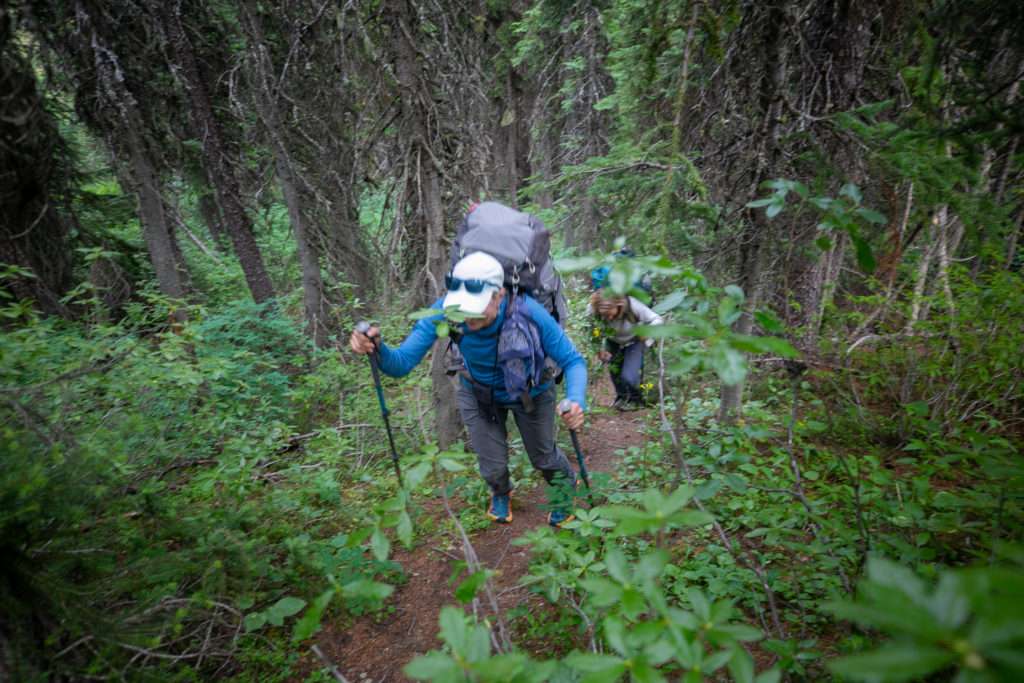
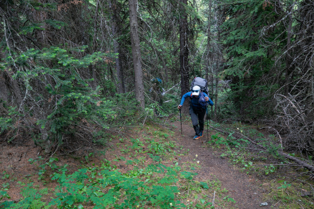
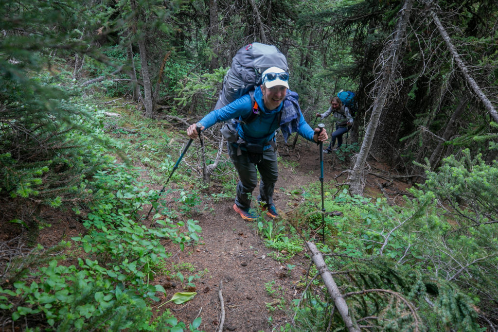
I had been pretty tired way back at lunch but somehow knowing that we had one final push plus that we had no choice energized me for the hike up. It was a short and brutal effort but after 30 minutes we arrived at a meadow on the bench after having gained 132 m of elevation in just 400 m of distance. Once on the bench the trail petered out but the way to Kiwetinok Gap was pretty obvious. We could see the Gap on the horizon and just headed towards it. There was some bushwhacking involved but as we were at elevation the trees were thinning out making the bushwhacking quite easy. The final ascent to the pass was up a drainage a reminder of my off trail adventures last year on the Six Passes Route on Section E. I was in a hurry to get to Kiwetinok Gap but I did take the opportunity to stop and look around as the views really opened up as we approached our goal.
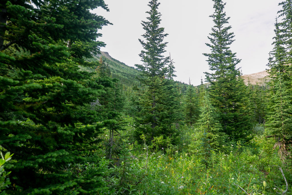
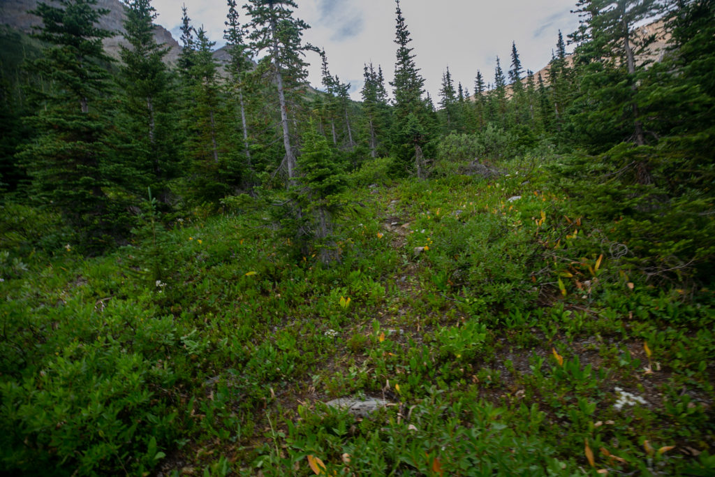
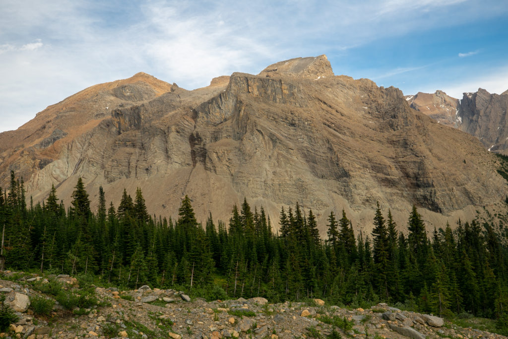
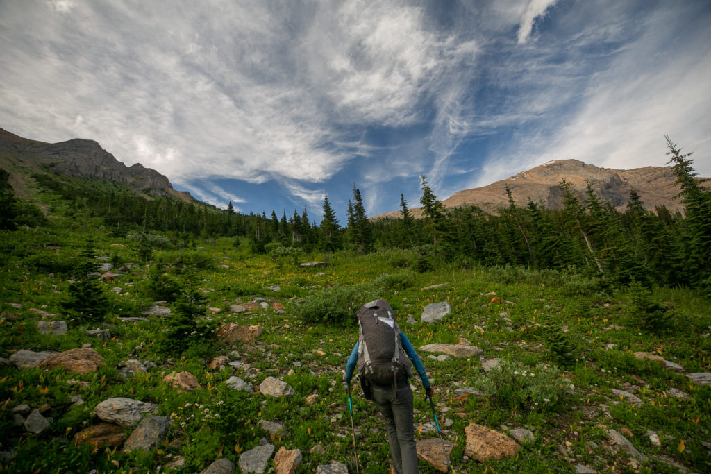
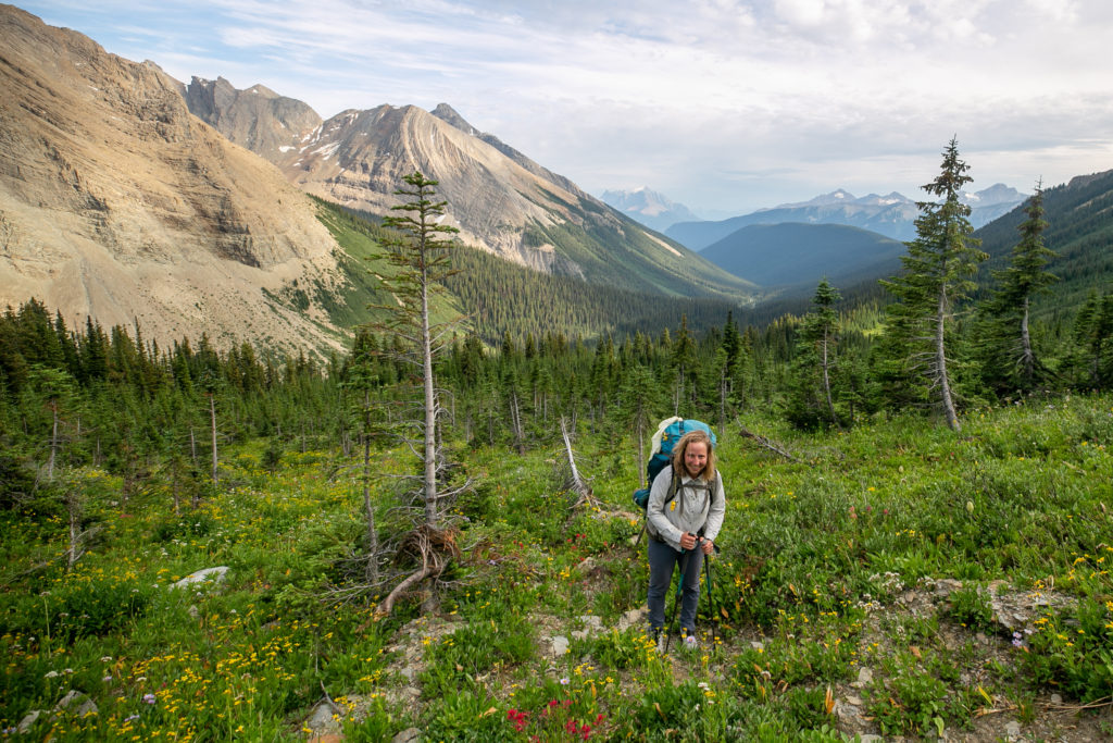
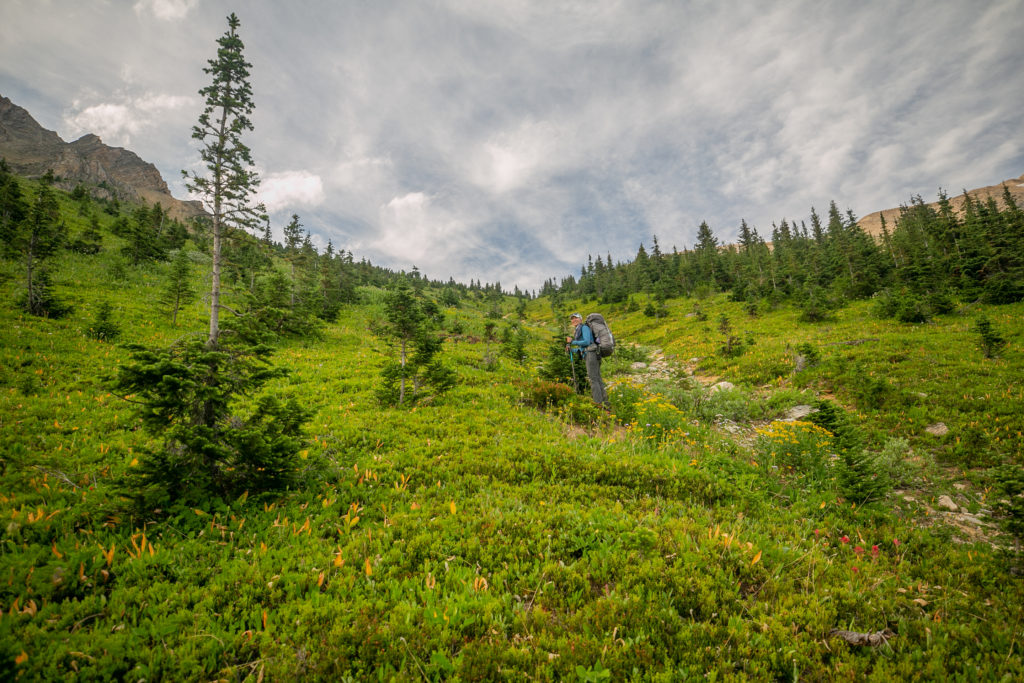
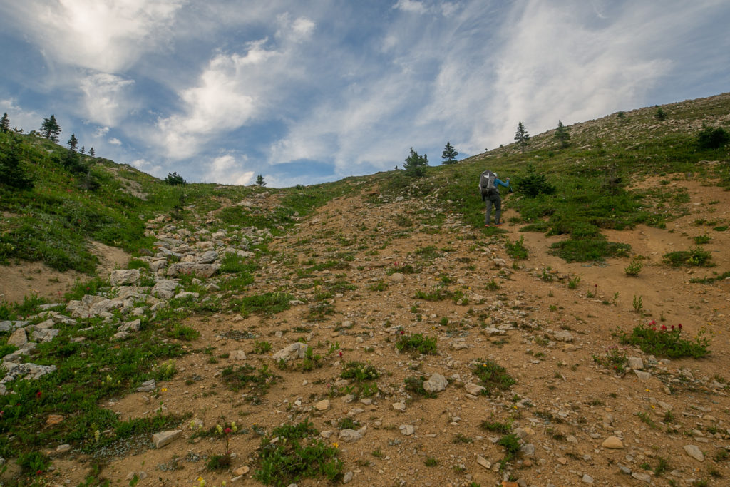
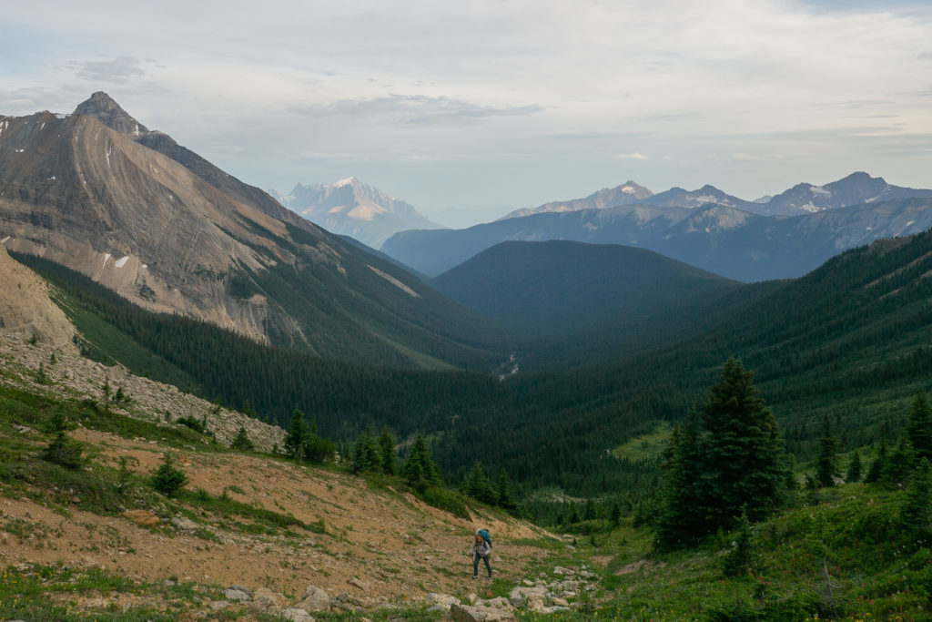
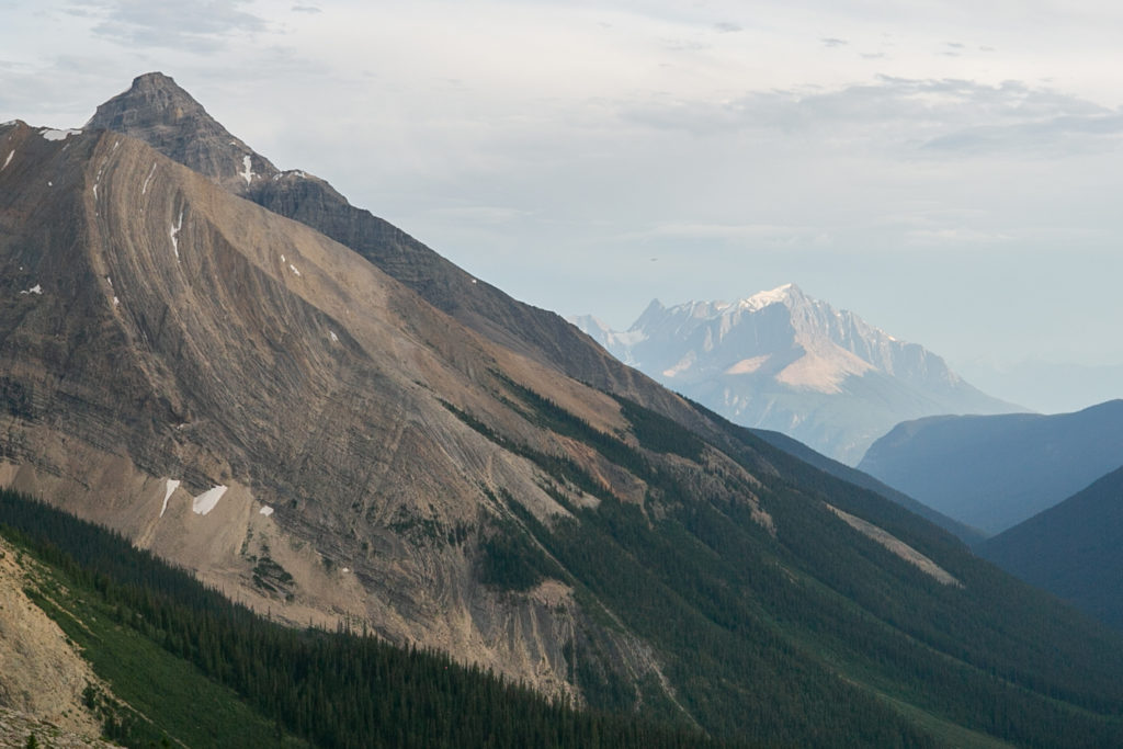
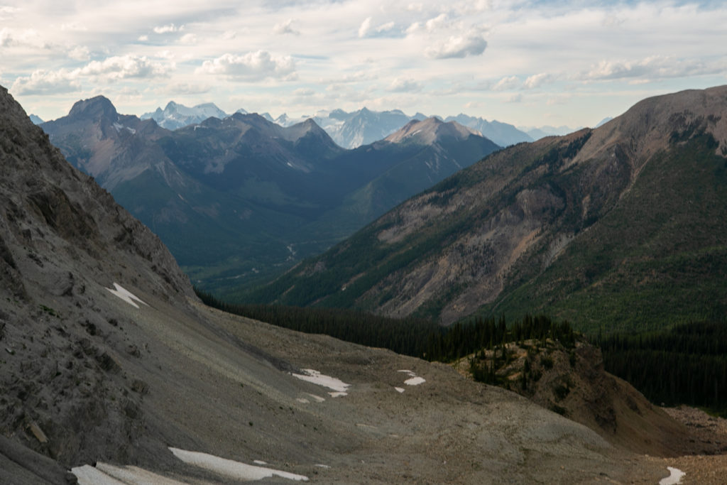
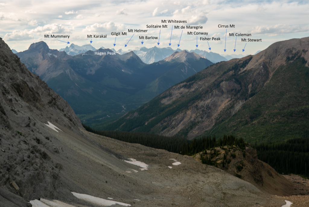
It was 6:15 pm when we arrived at Kiwetinok Gap. The view was so spectacular that each of us swore in awe as we took in the view upon arrival at the Gap. We spent just a couple of minutes absorbing the scenery but knowing that we were closing in on 12 hrs since we left Yoho Lake we could not stay long as it was time to head down and find a suitable camping spot. Oh and the bugs were fierce!
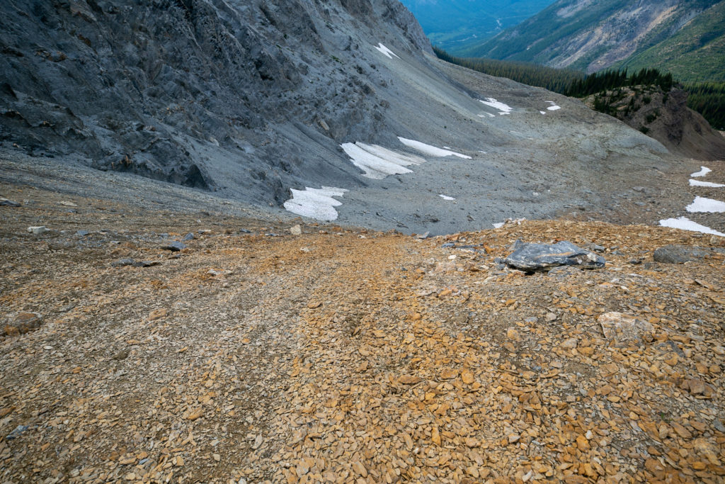
Given the conditions of the descent I was quite happy about the experience I had gained the year before on my Egypt Lake trip with my daughter Siobhan when we descended off of Pharaoh Peak. This time I was better prepared as I had two poles to help stabilize me on the rocks. I headed down first. The rocks were not quite loose enough to scree ski. I had to be careful as I slid down the hill because periodically my boots would find traction and would grab a hold of the dirt and stop sliding throwing me off balance. I made it down quite quickly with little drama.

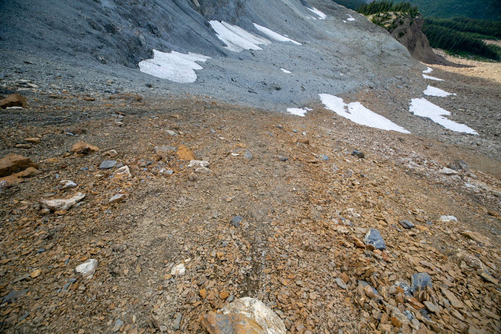
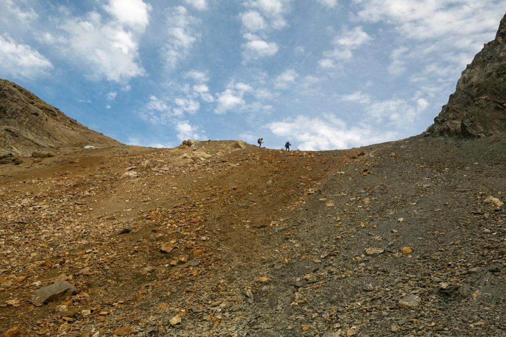
Once everyone arrived at the bottom we had a little medical emergency. Lillian did take a little spill on the rocks and had cut her hand. I confidently drew from all those first aid courses I have taken and expertly applied some polysporin and a bandage.
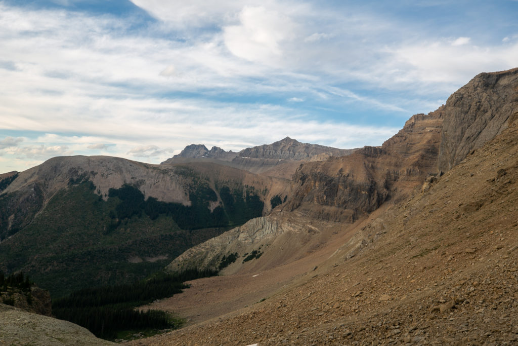
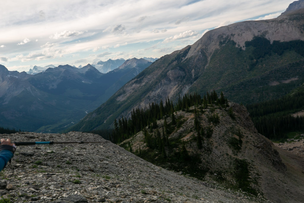
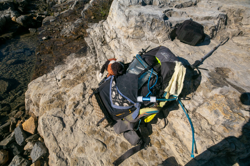
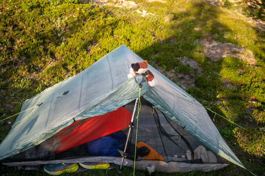
After a quick but careful descent into a gully we clambered up a slope onto a small tree covered knob. We found a couple of suitable places to pitch tents and quickly agreed that we had found our home for the night. I dropped my pack at 6:45 pm making for an 11 hr and 45 min day. I had my tent all set up with Frosty on guard by 7:00 pm.

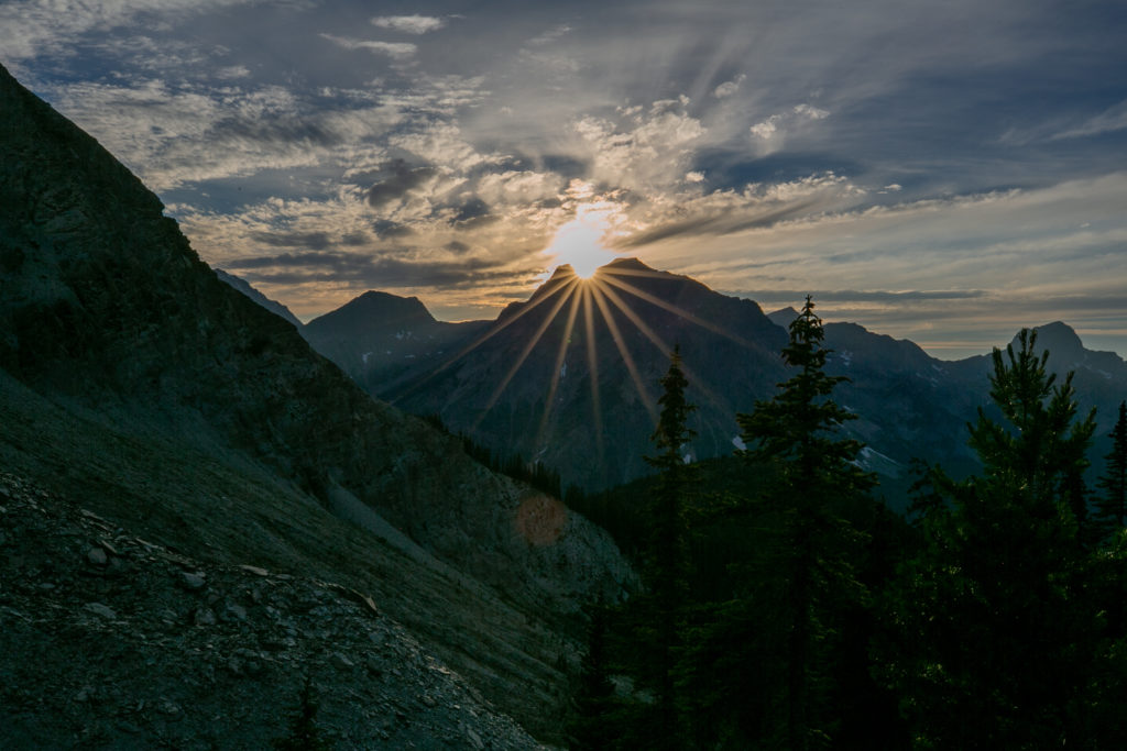
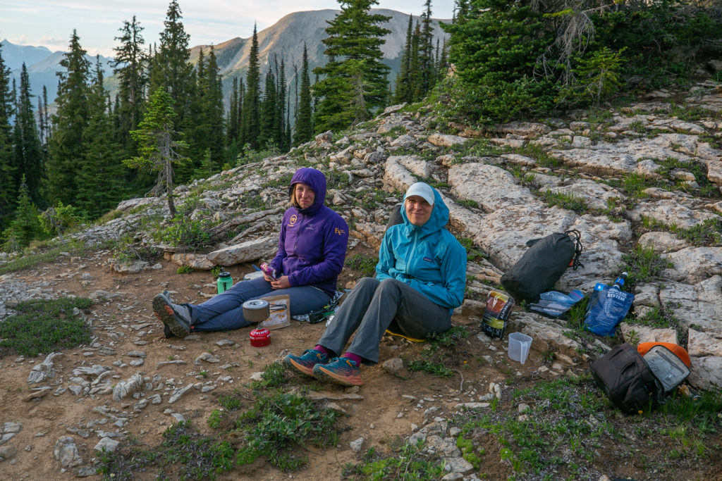
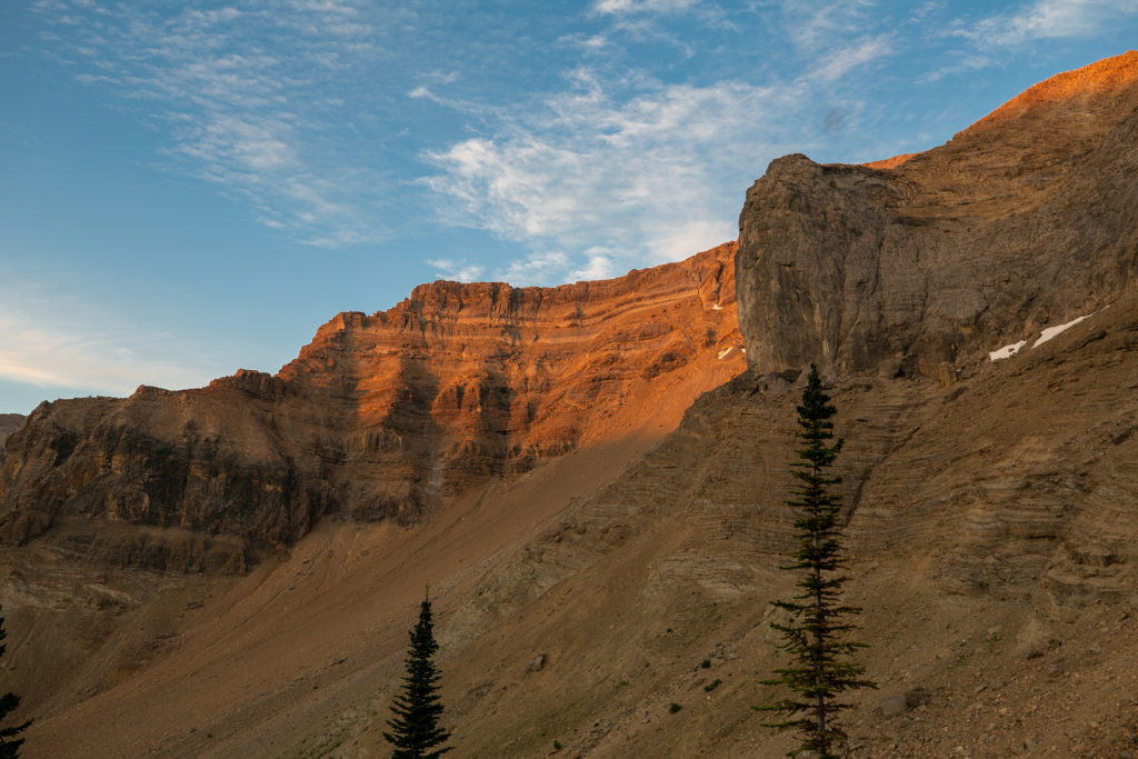
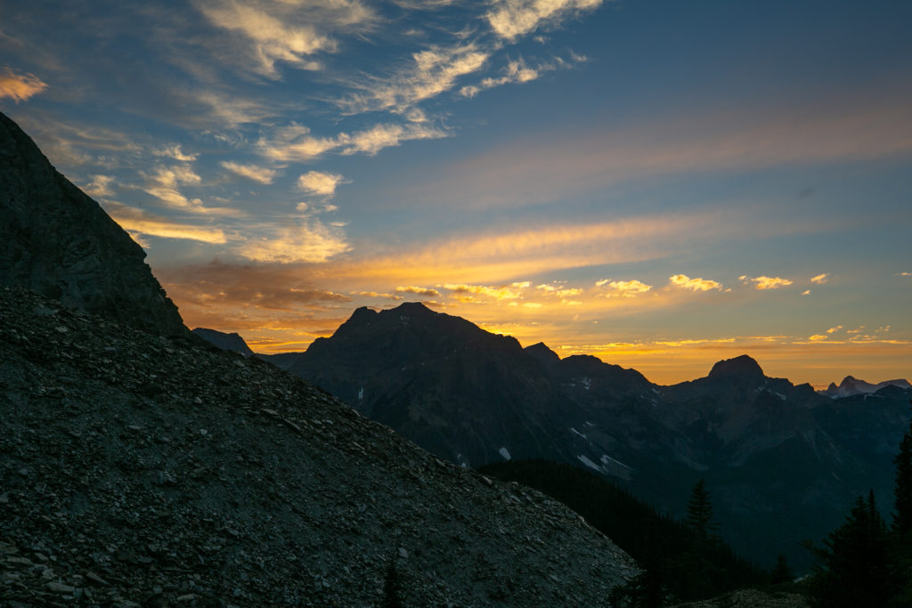
Before heading to bed I did explore our little knob a bit. As I wandered I reflected on the day and the hike we had just undertaken. I felt quite sure that I could not have done the hike solo. The hiking had been hard and the trail was so remote. We had not seen a person since we left lunch and the people had been at Little Yoho Campground on the other side of the river. I was confident in the “the Team’ and I felt that I was decisive and dependable making me a good team player.
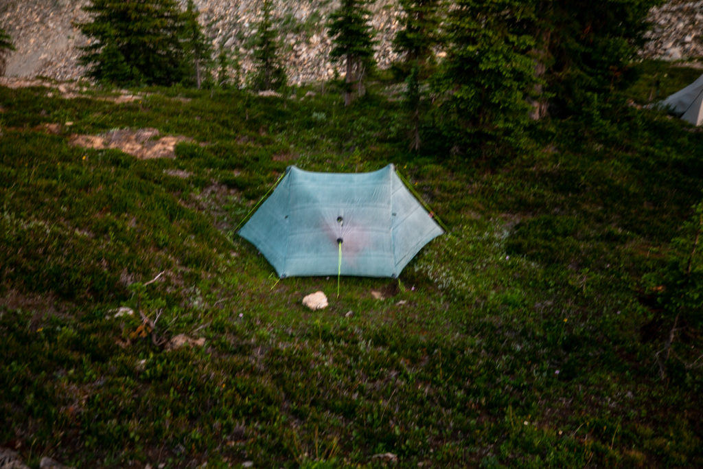
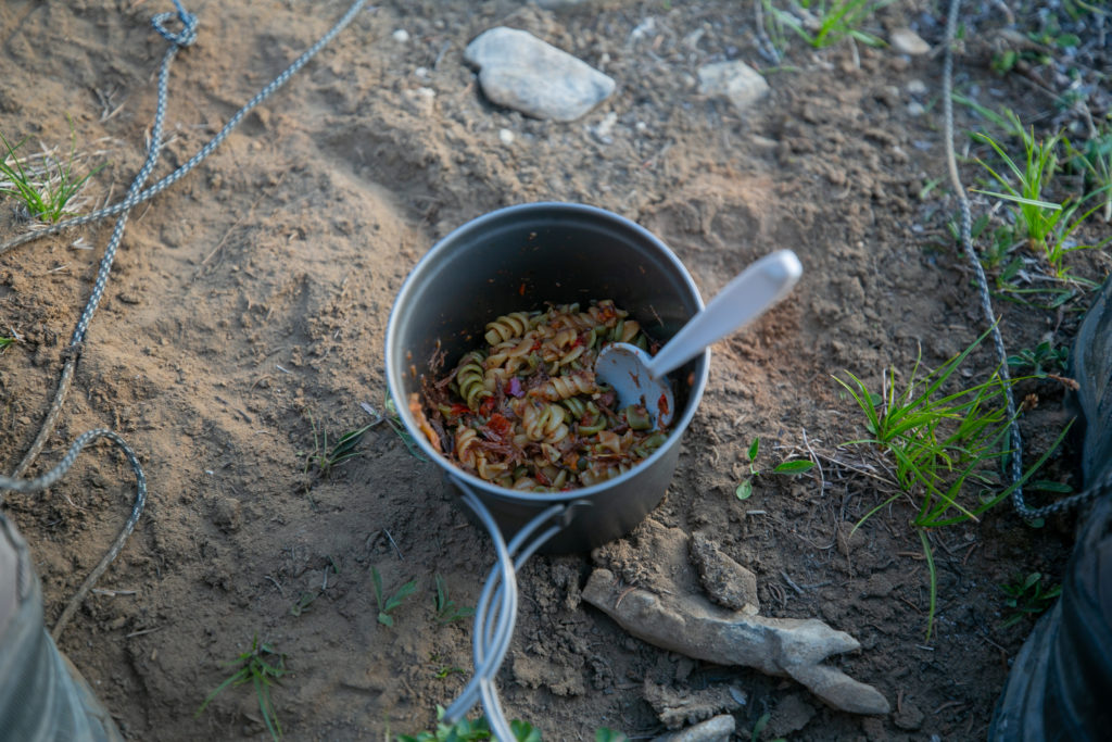
It had been an epic day on the trail. There was no water at camp and in the morning I would only have about 1/3 of a litre of water left after breakfast. The goal for tomorrow would be to camp just past Amiskwi Lodge setting us up to hike Amiskwi Ridge on Day 4.
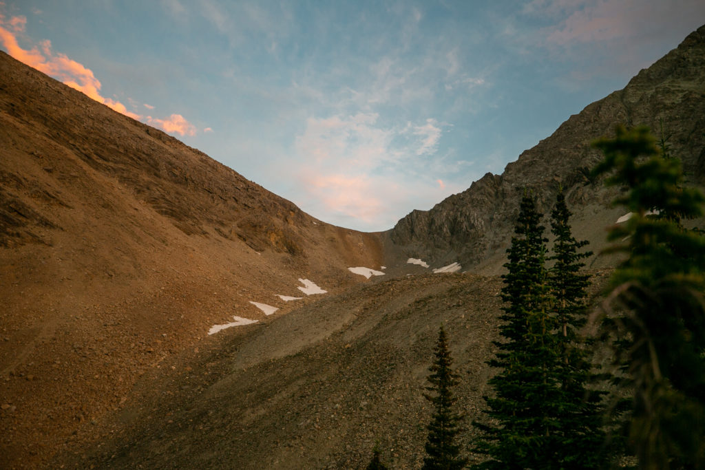
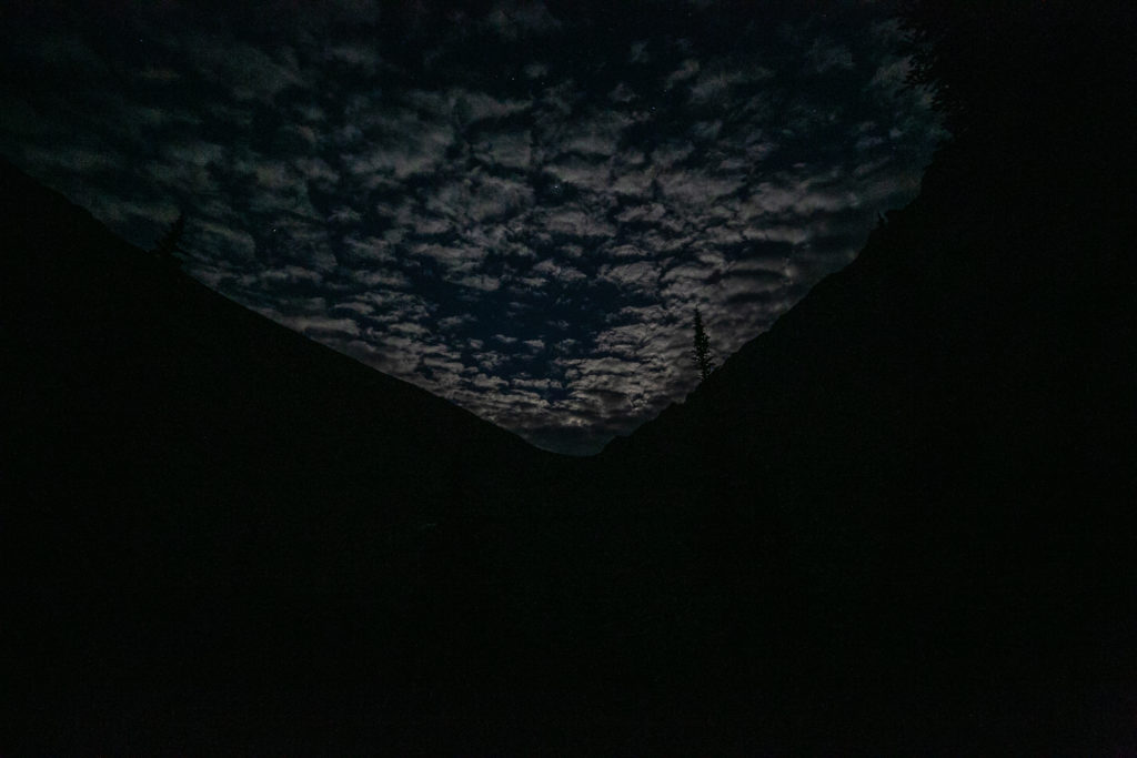
Good night from somewhere in the Amiskwi Valley.
